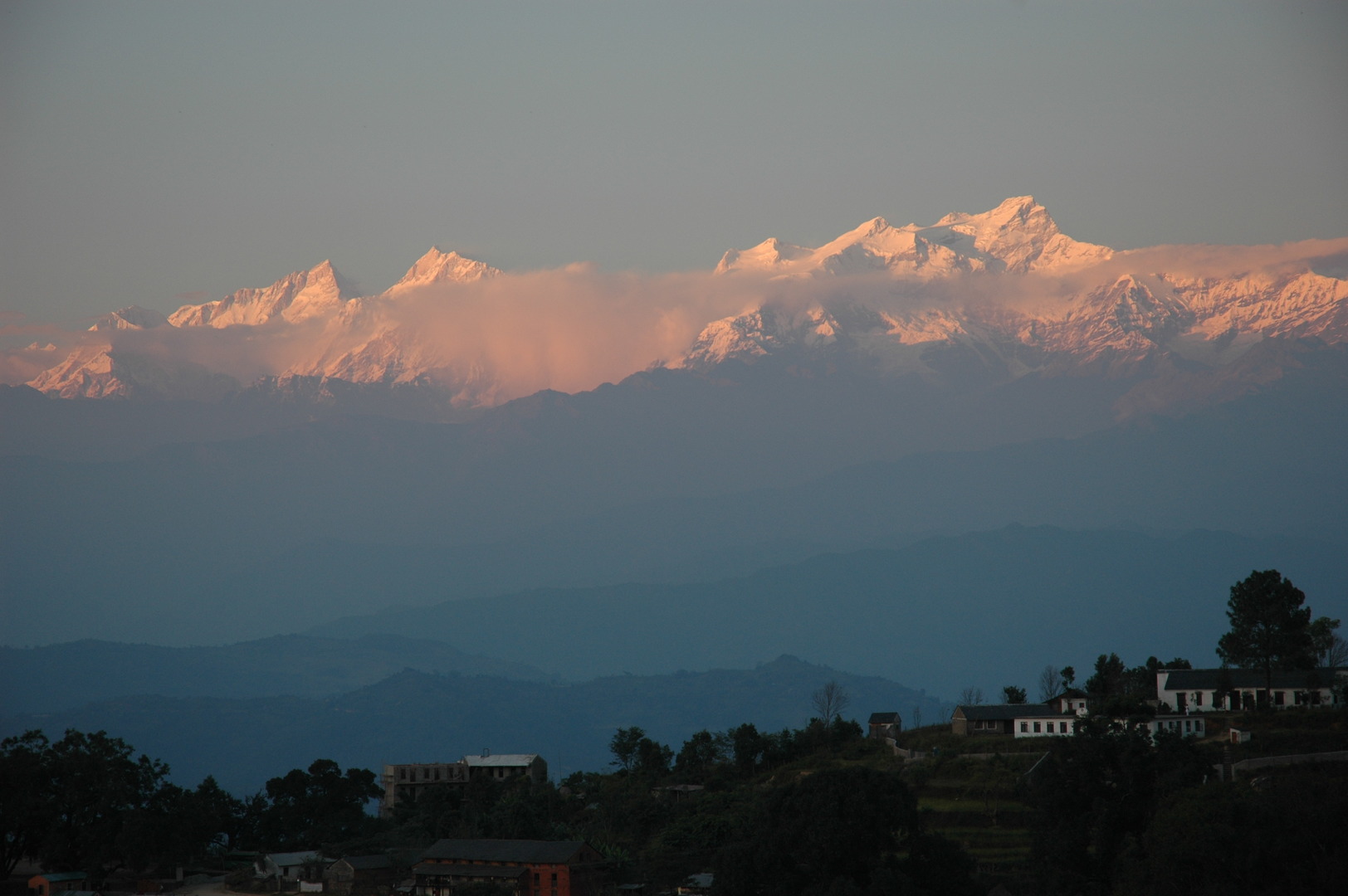
The Manaslu Himal, seen from Bandipur :: just a dream, just a dream…
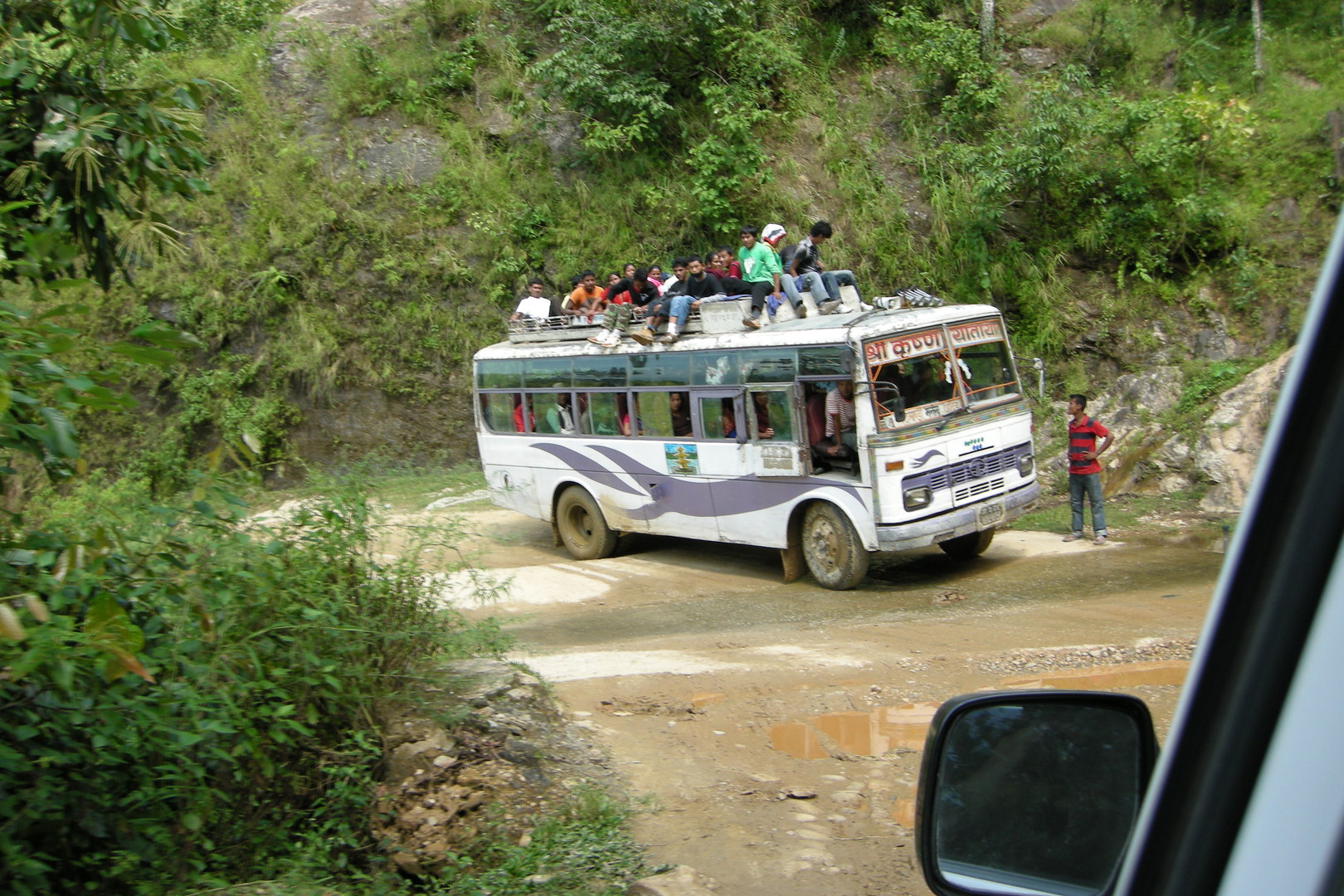
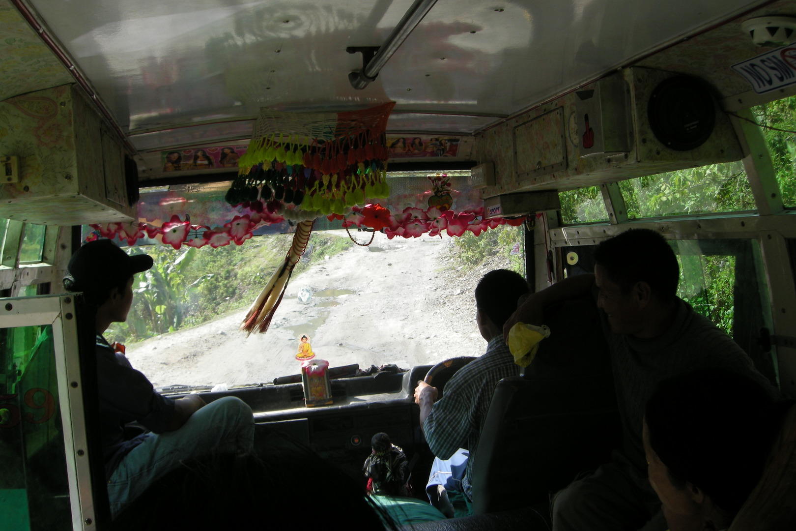
The road to Arughat :: one of these sturdy Tata busses on the dirt road
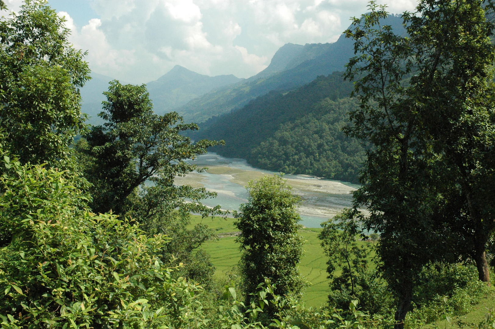
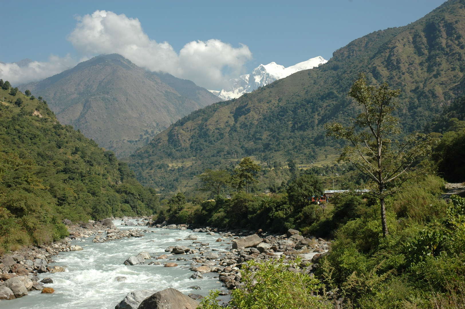
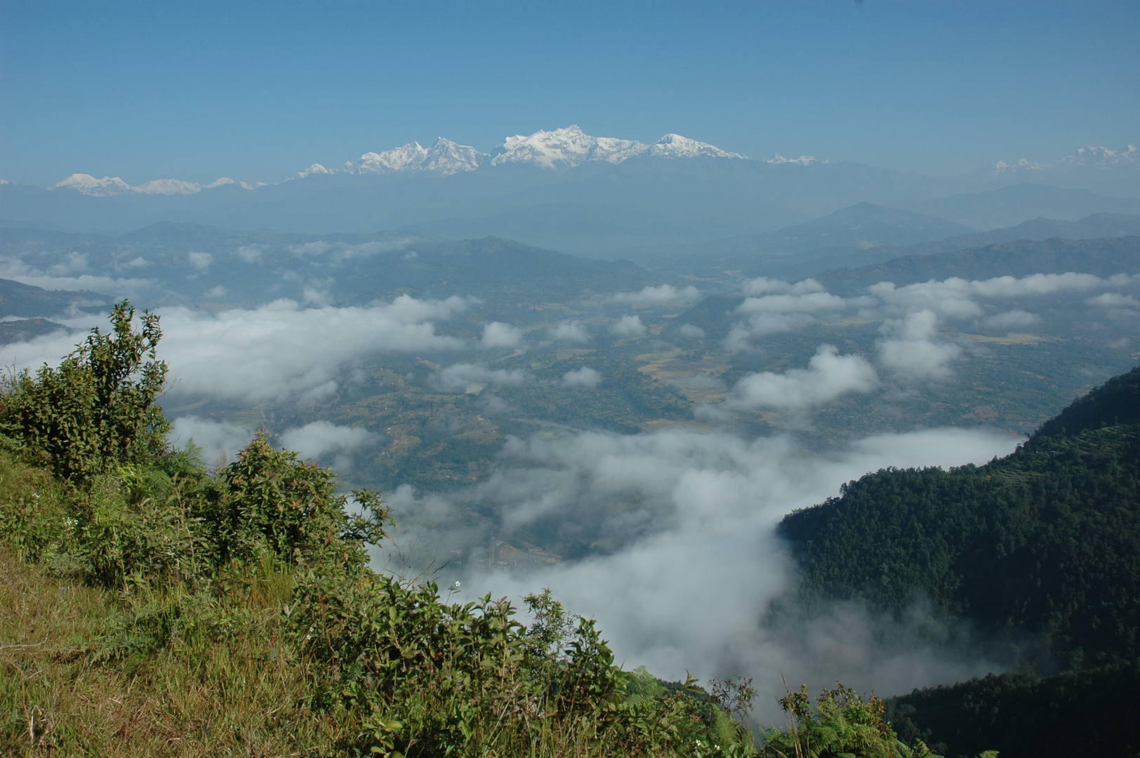
Road to Arughat :: looking back to the Ankhu Khola valley
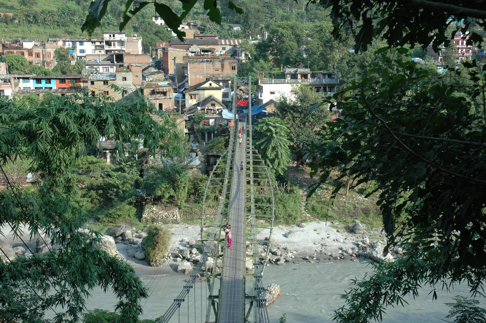
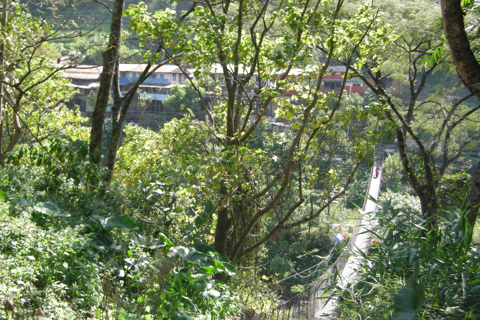
Arughat :: the bridge over Budhi Gandaki
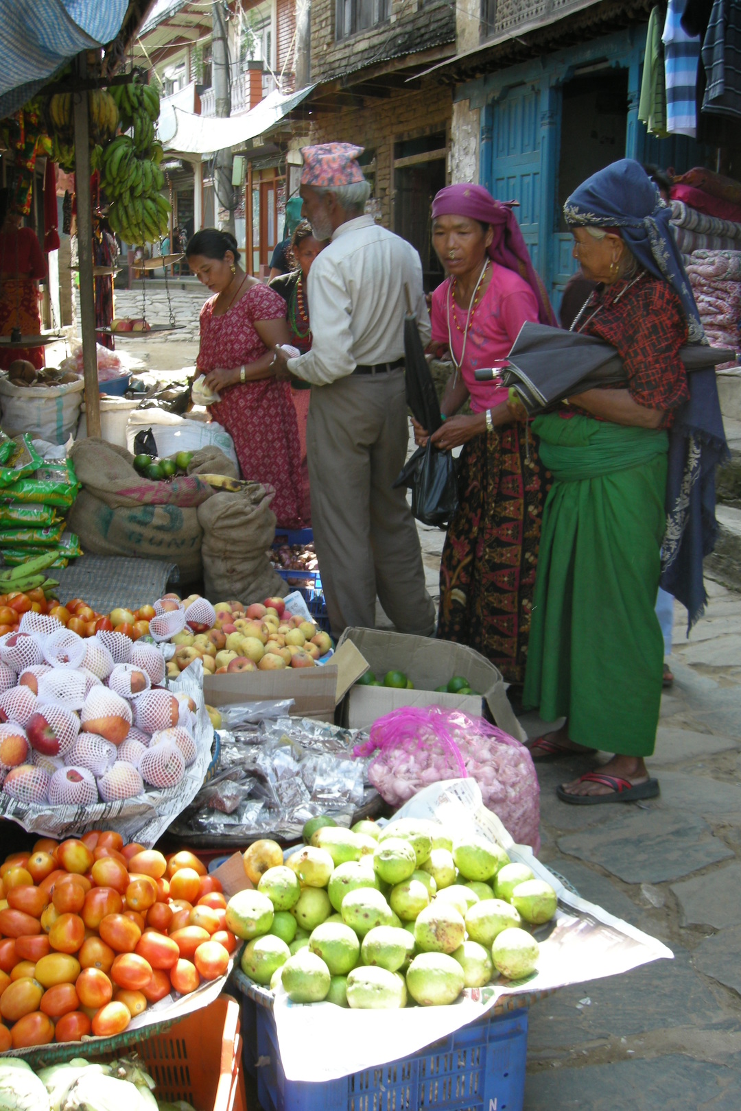
Arughat :: a bazaar scene
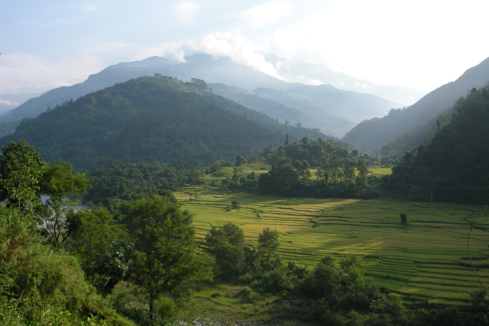
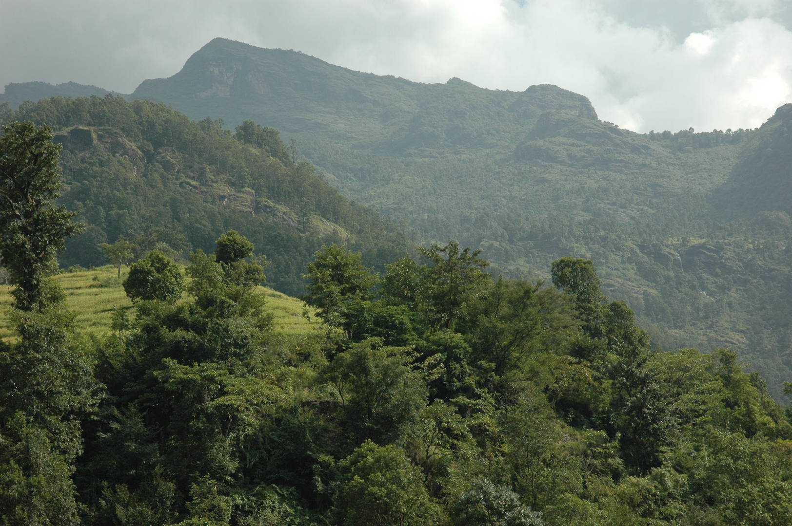
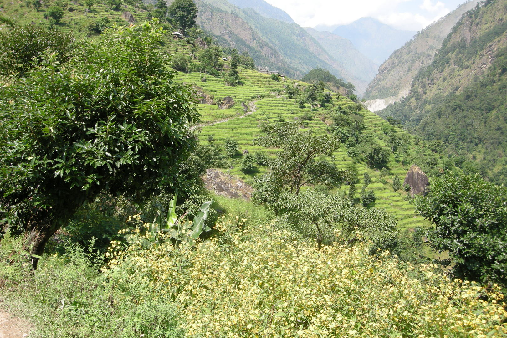
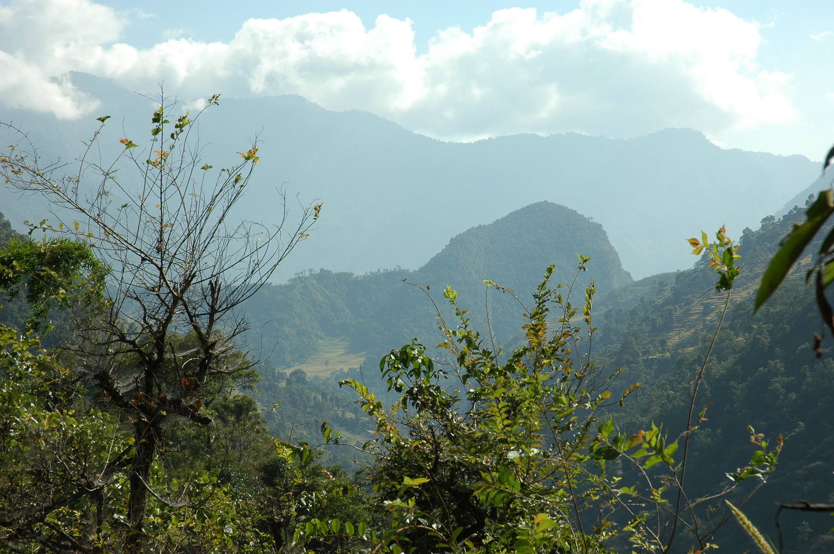
By Mangaltar :: a typical Nepali hills landscape…
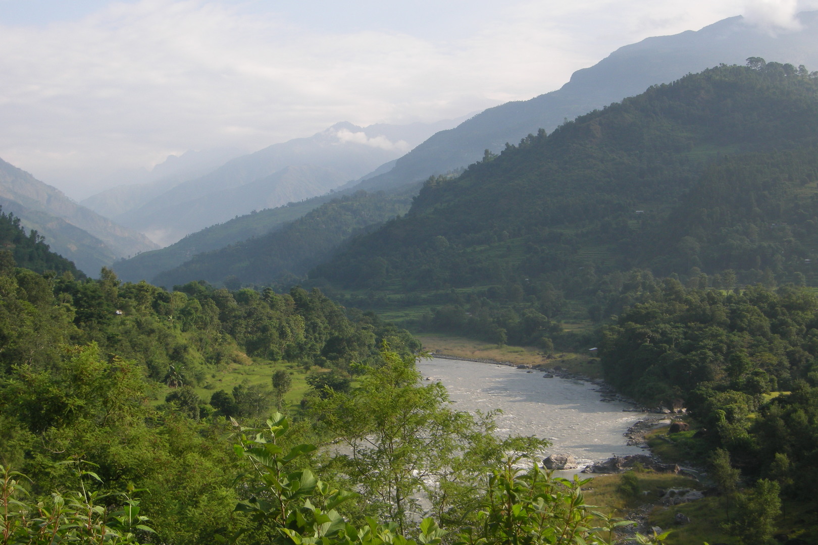
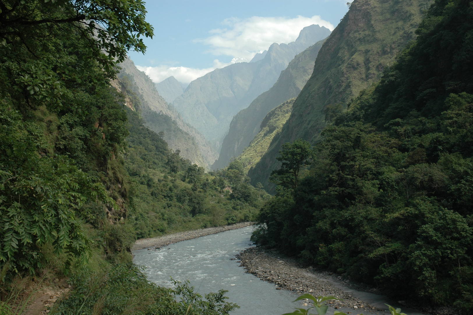
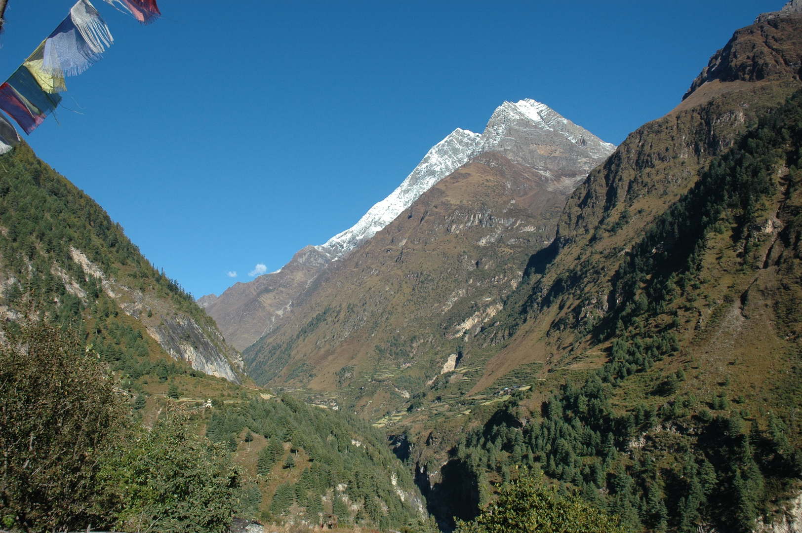
By Mangaltar :: entering the long Budhi Gandaki valley
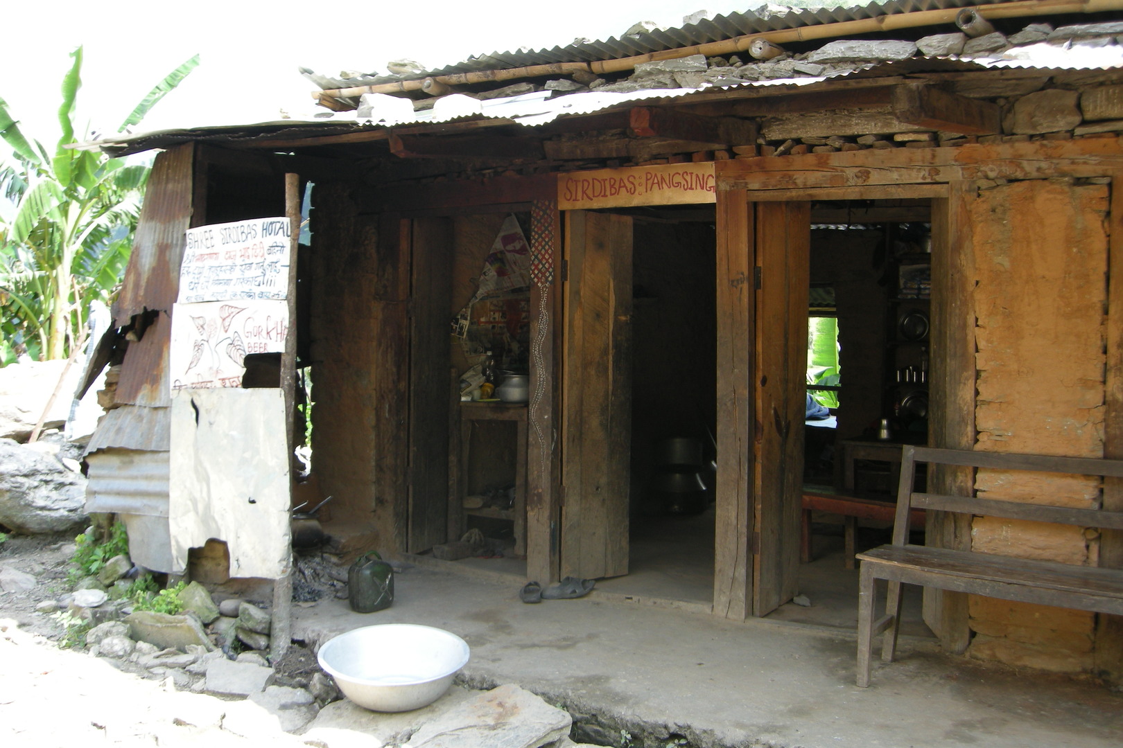
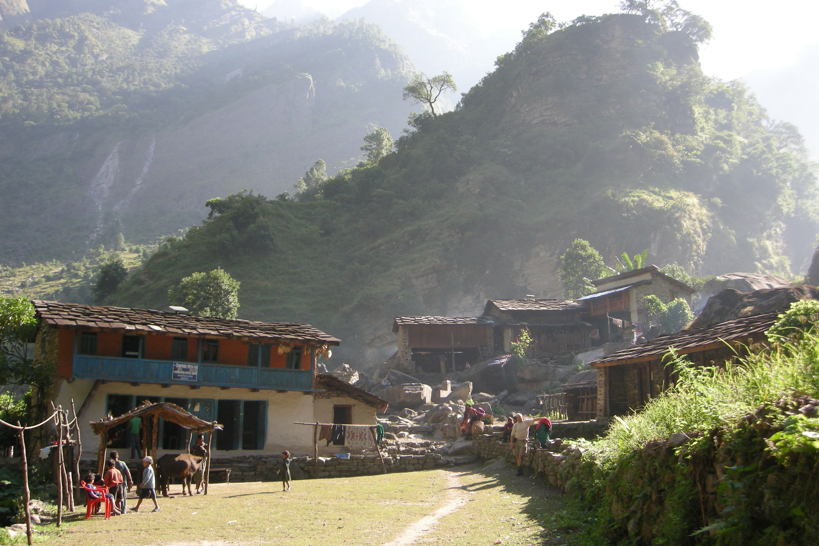
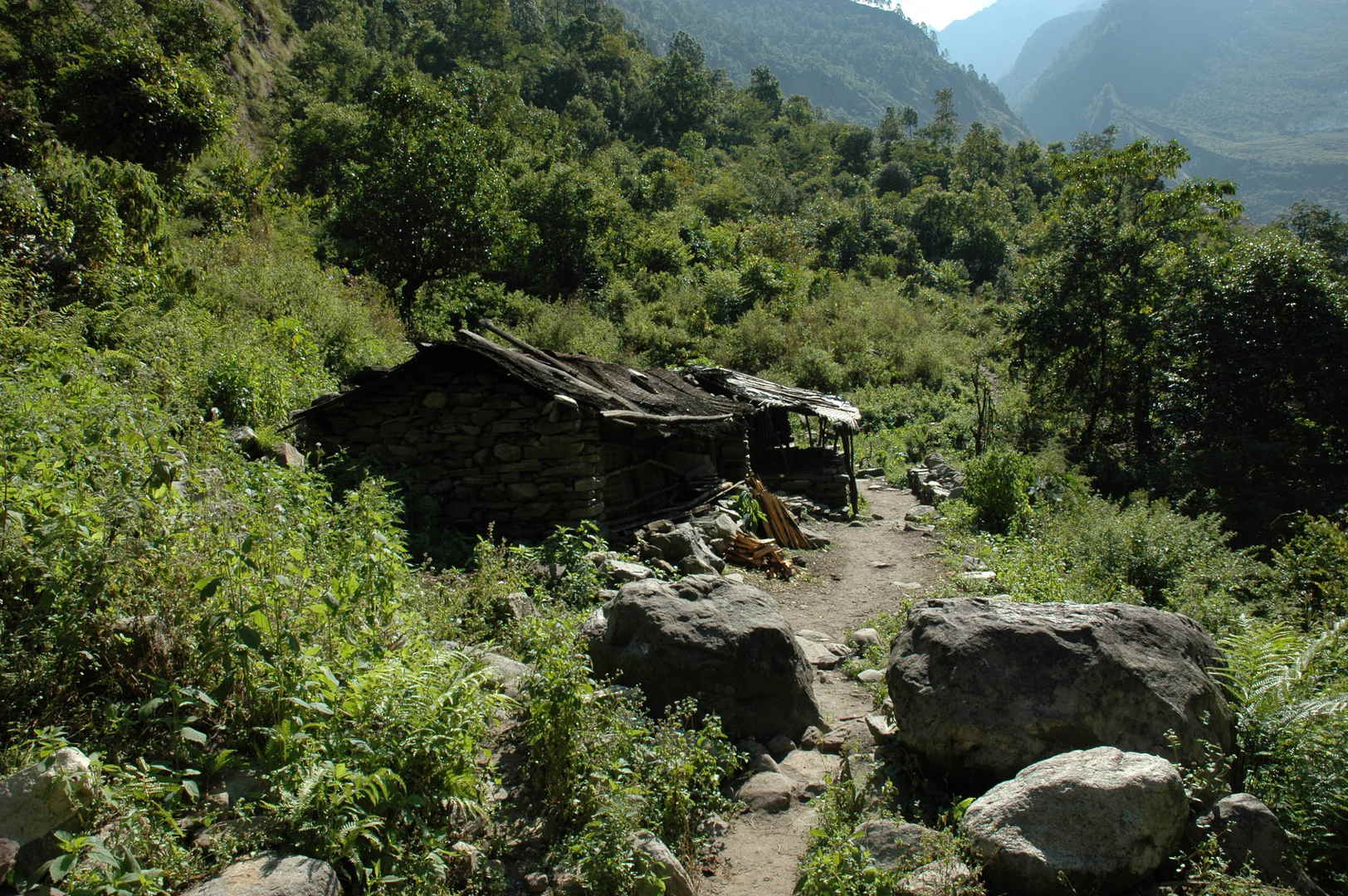
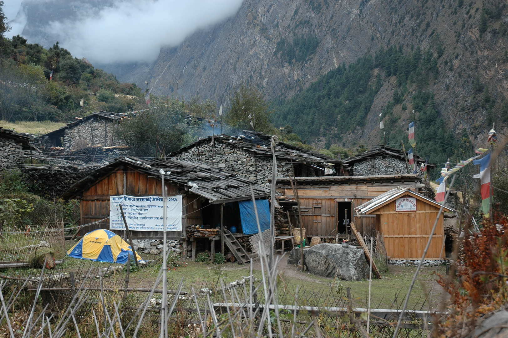
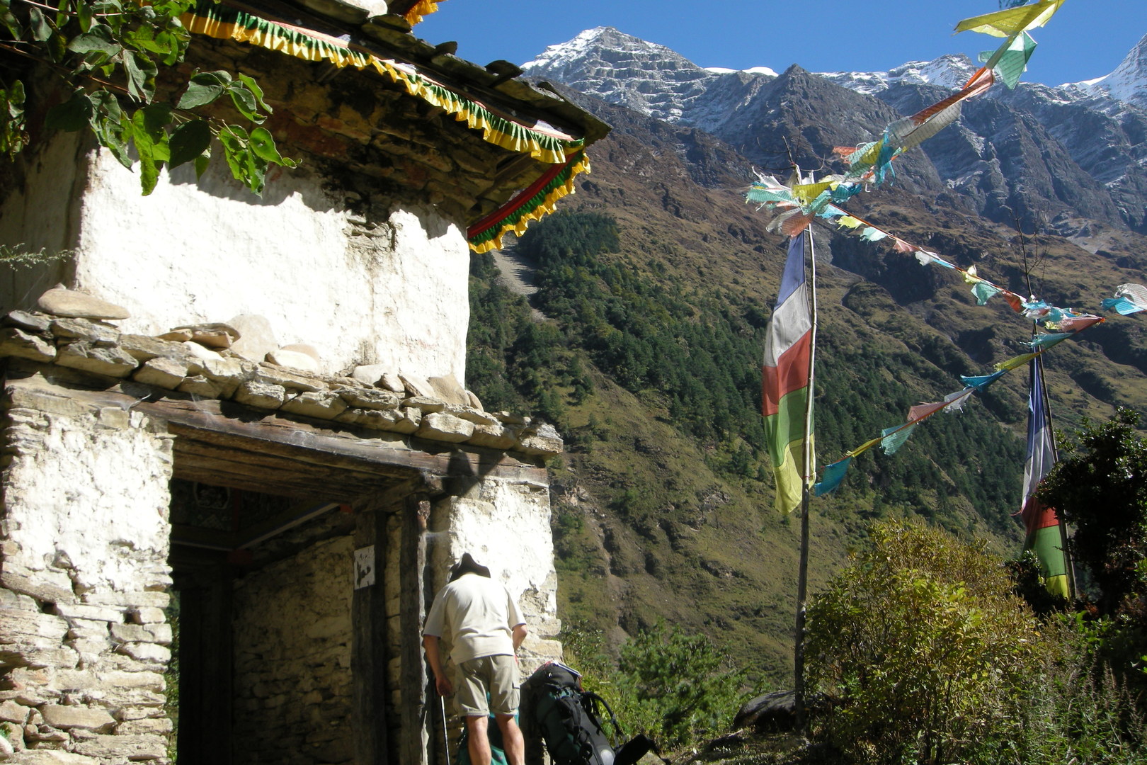
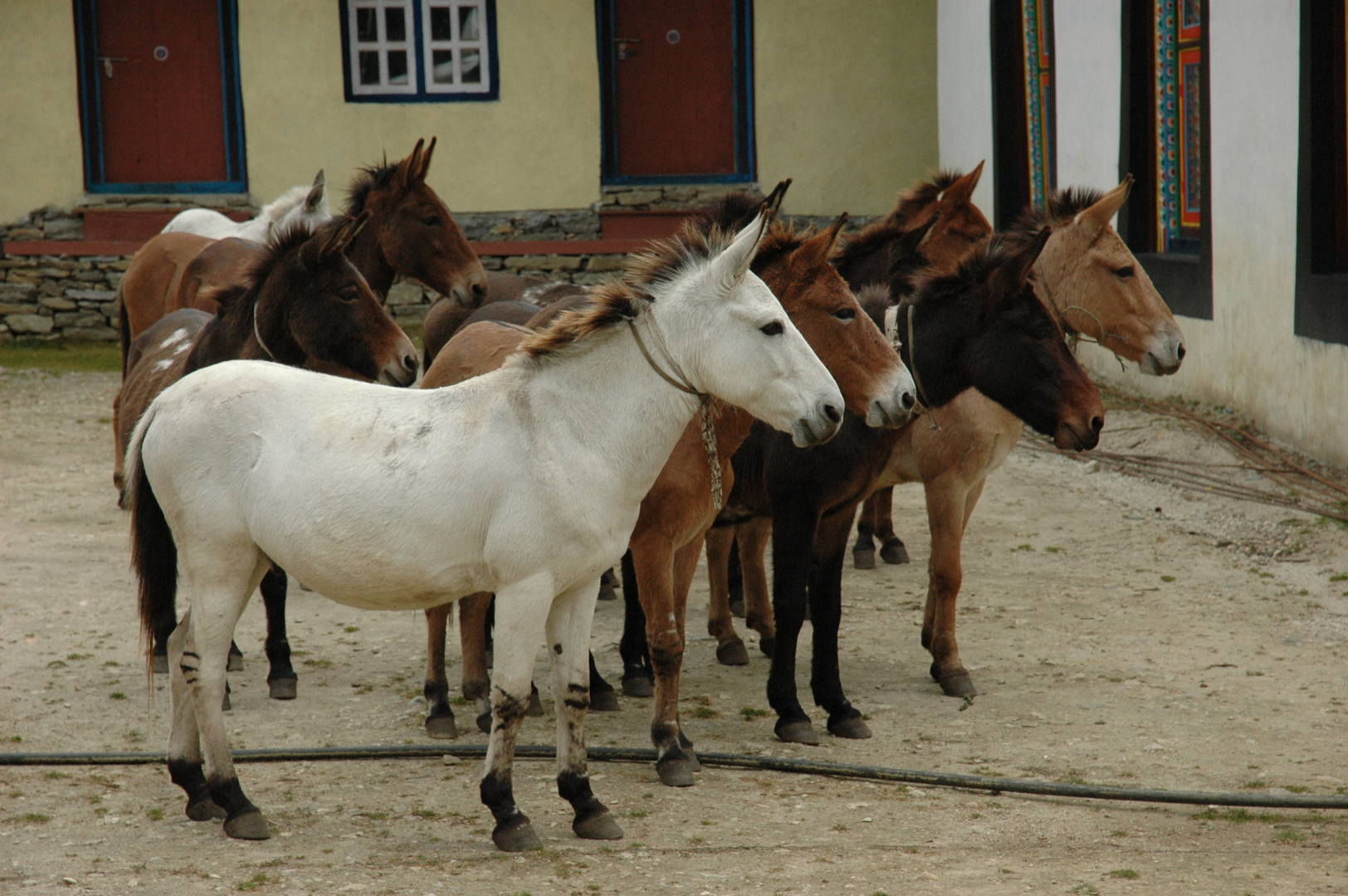
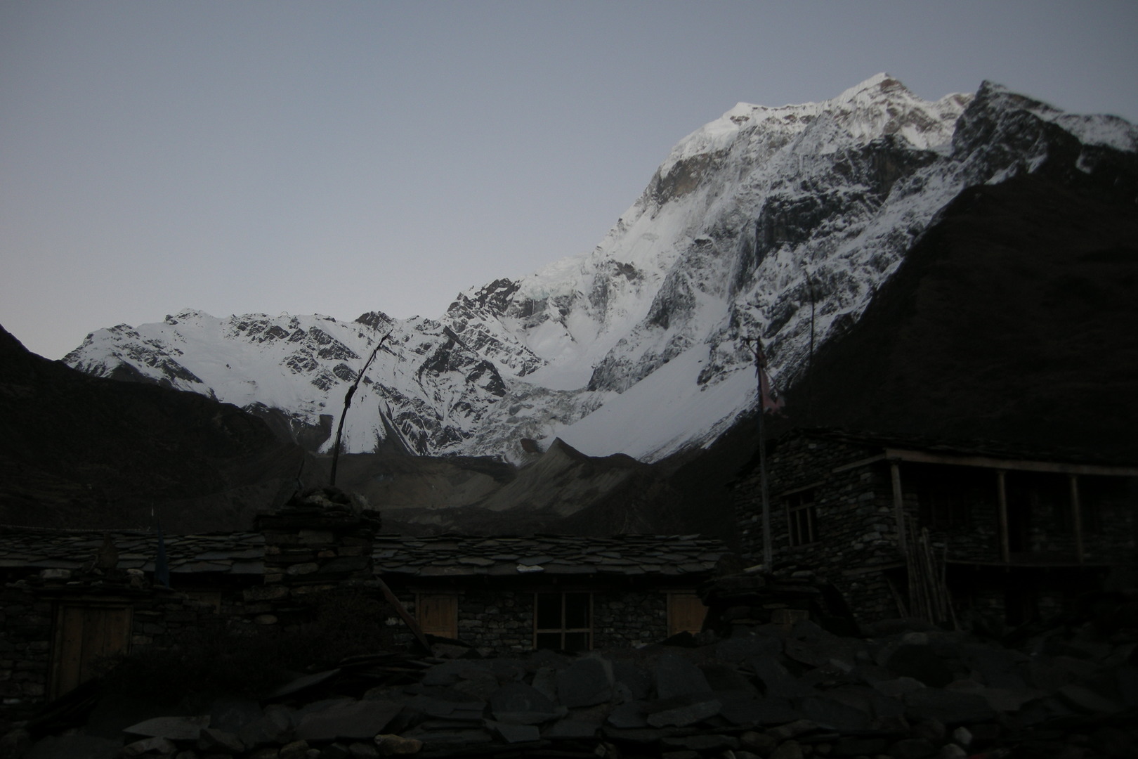
Below Keurenipani :: Shree Sirdibas Hotal :: a bhatti with ambitions
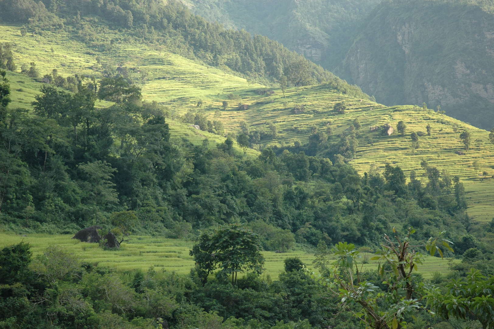
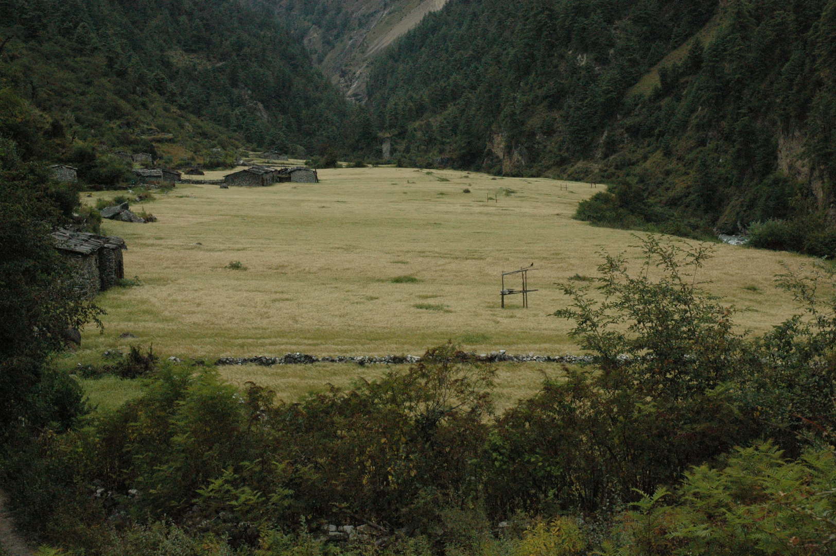
Soti Khola :: a typical Nepali hills landscape…
Soti Khola :: fields on the other side of the Budhi Gandaki
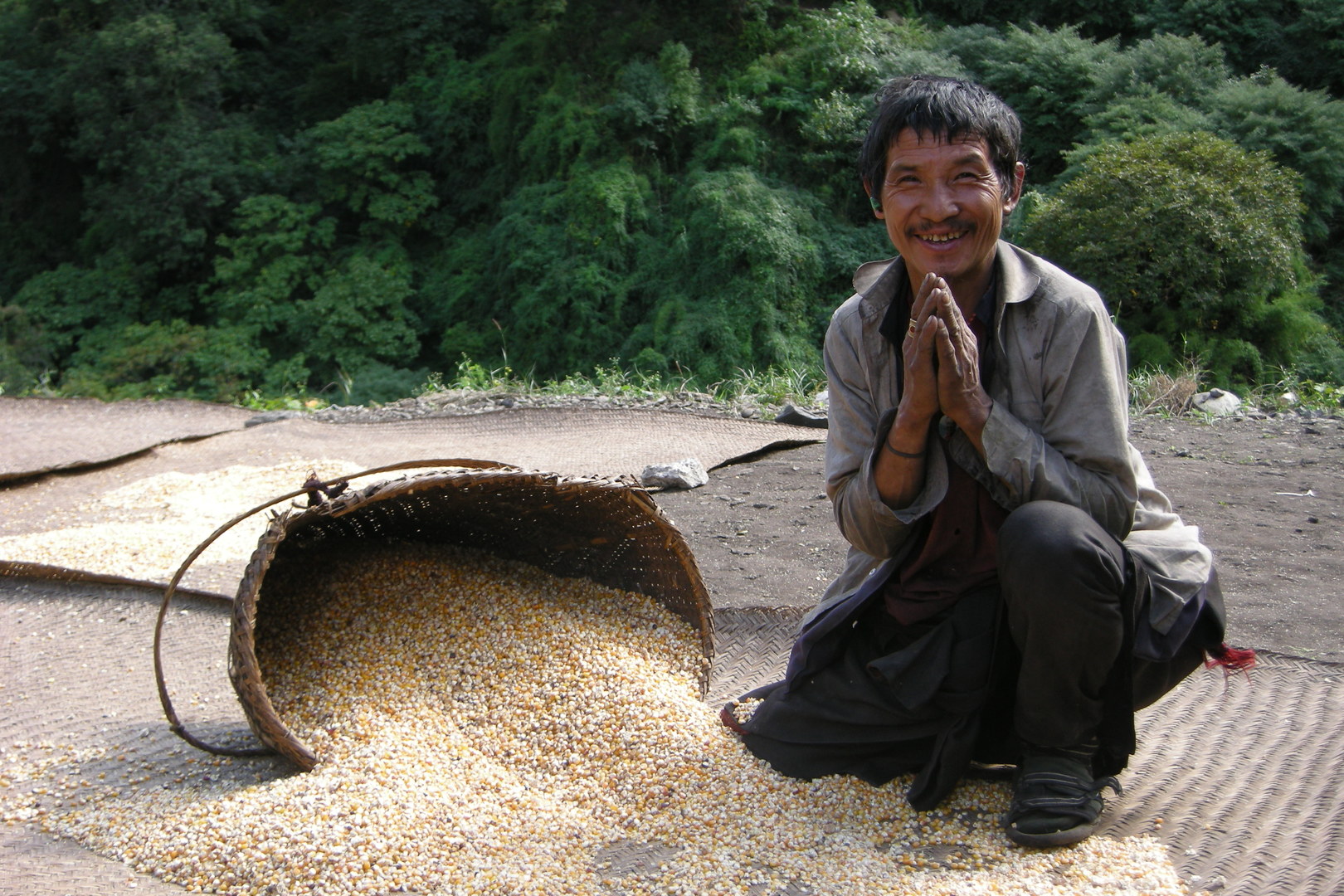
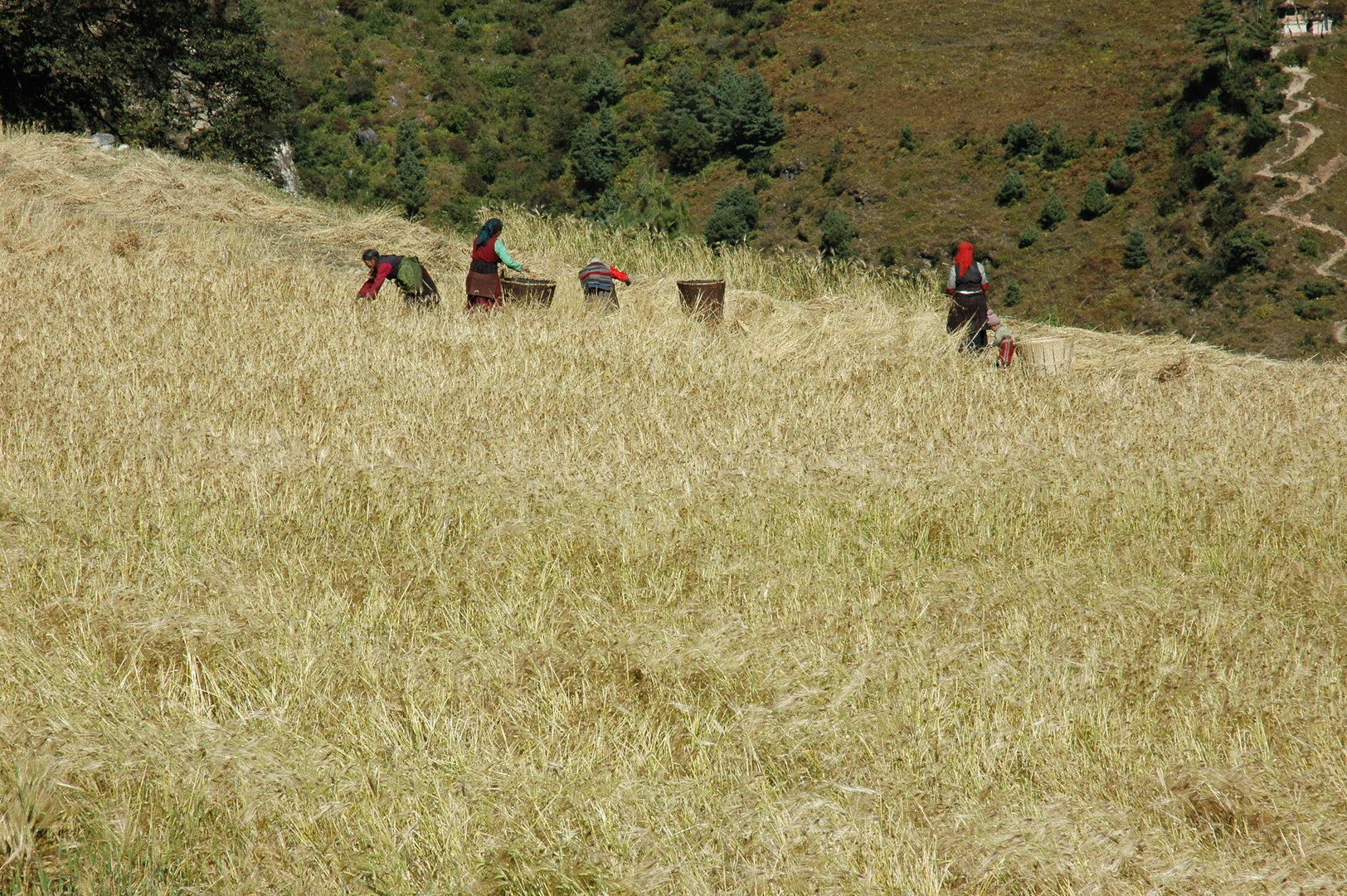
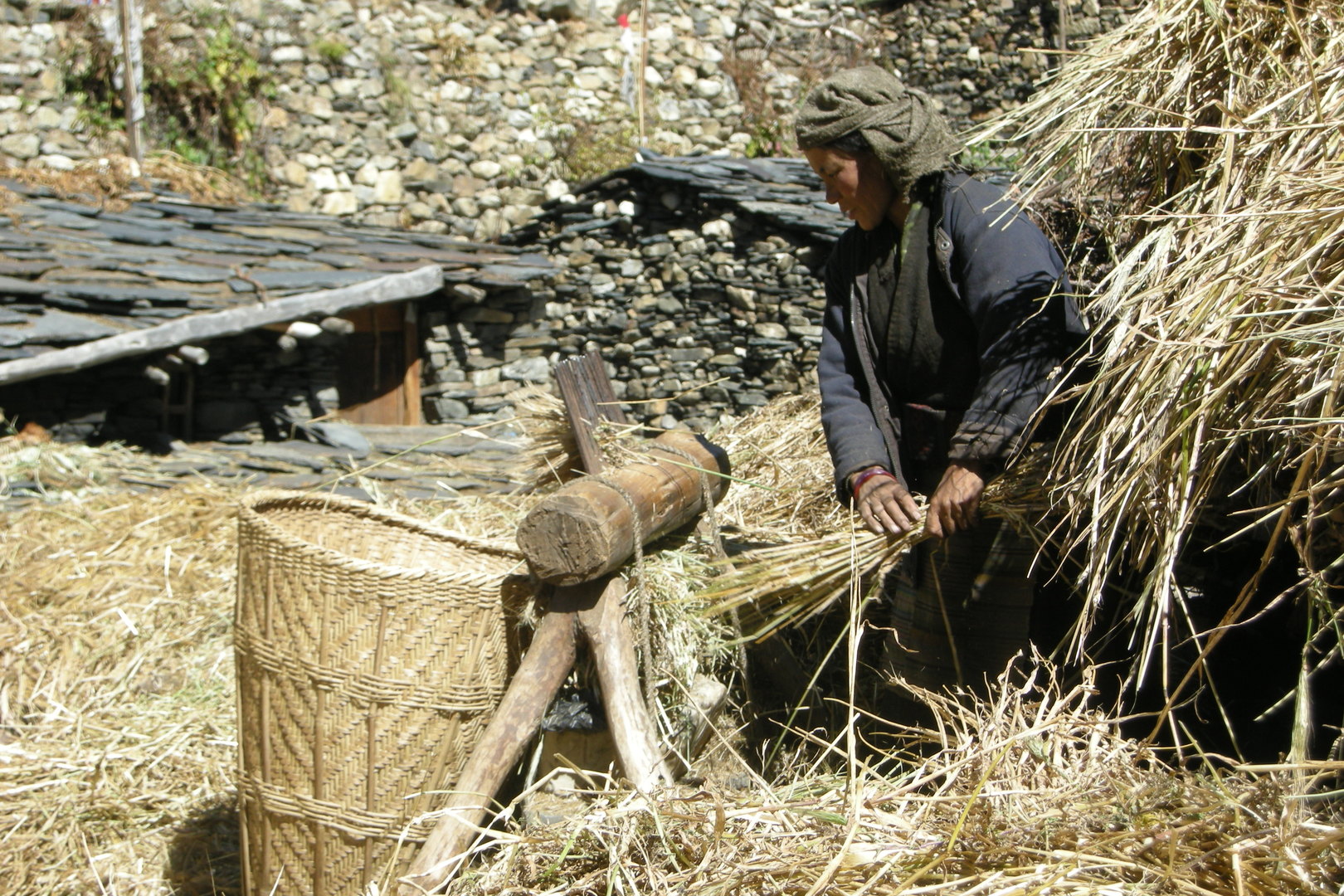
Soti Khola :: harvesting
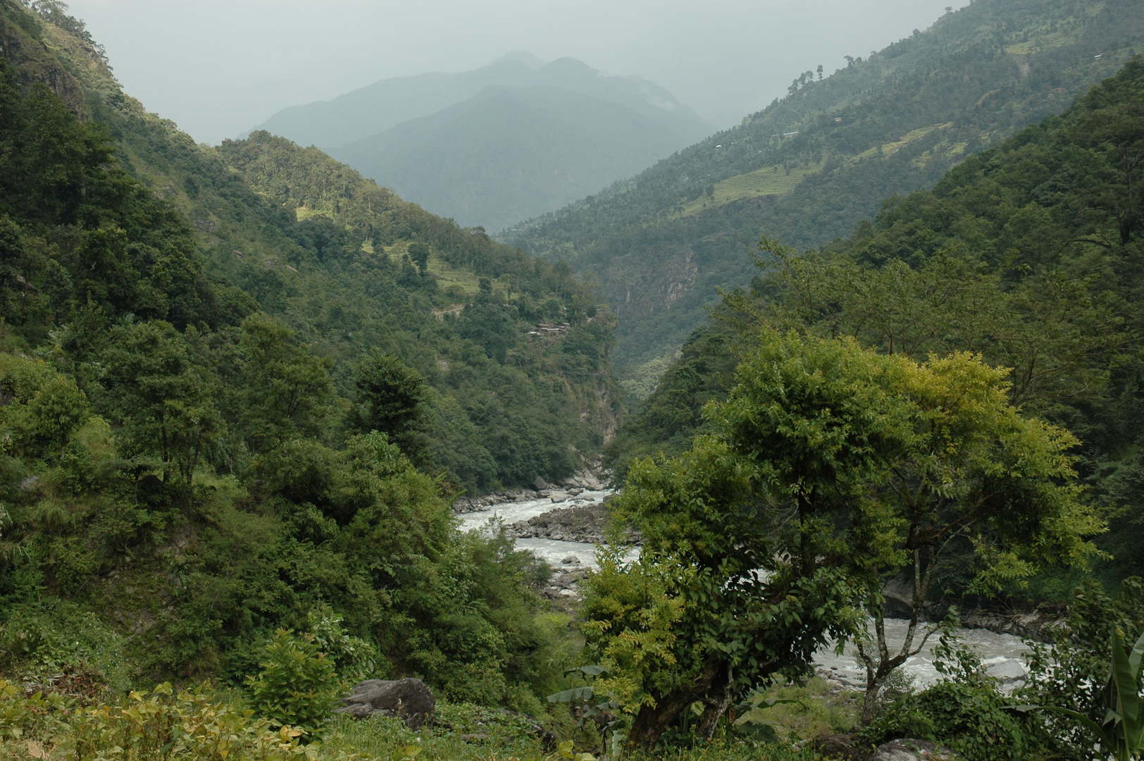
Soti Khola :: the view towards Armala
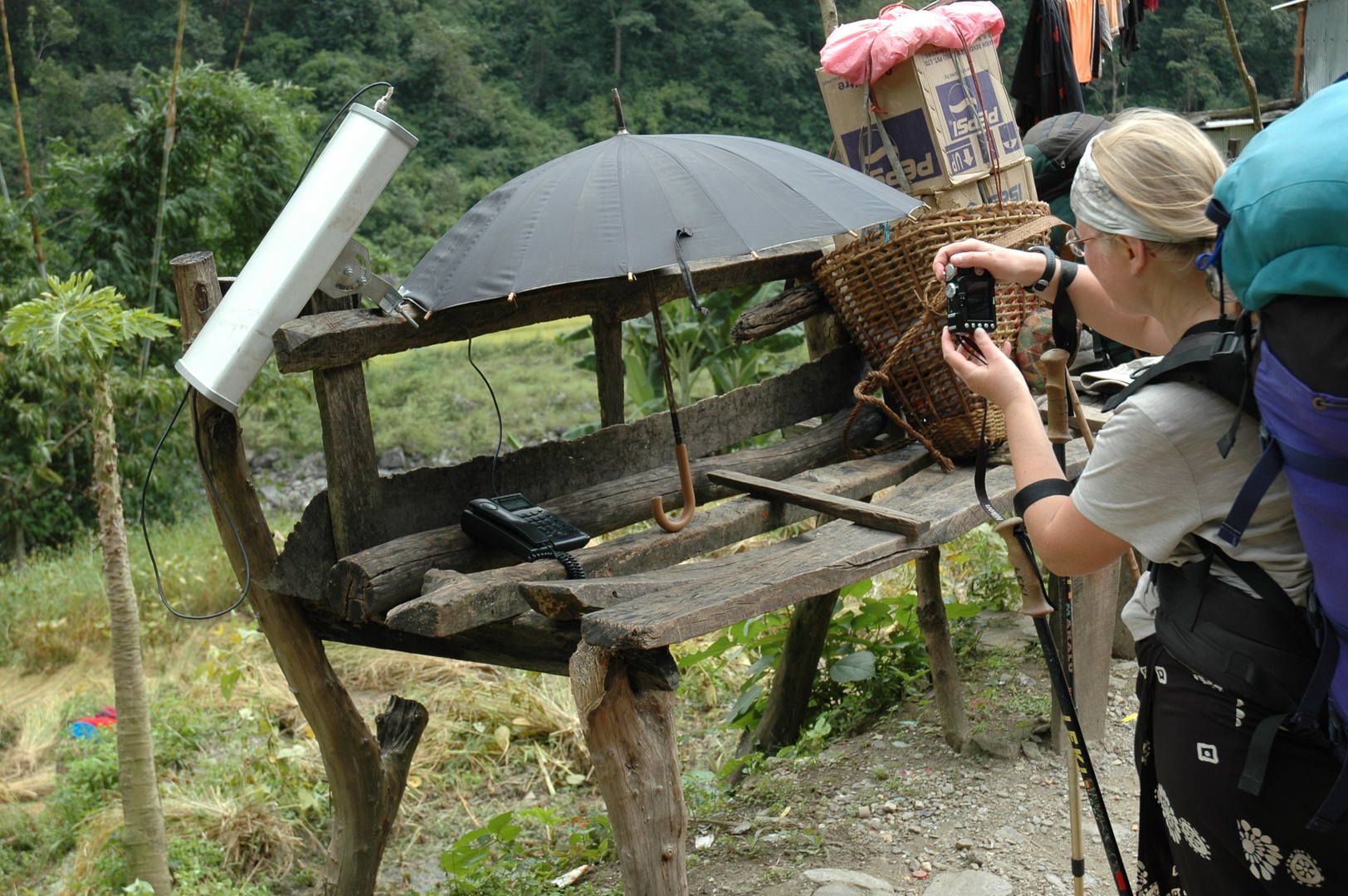
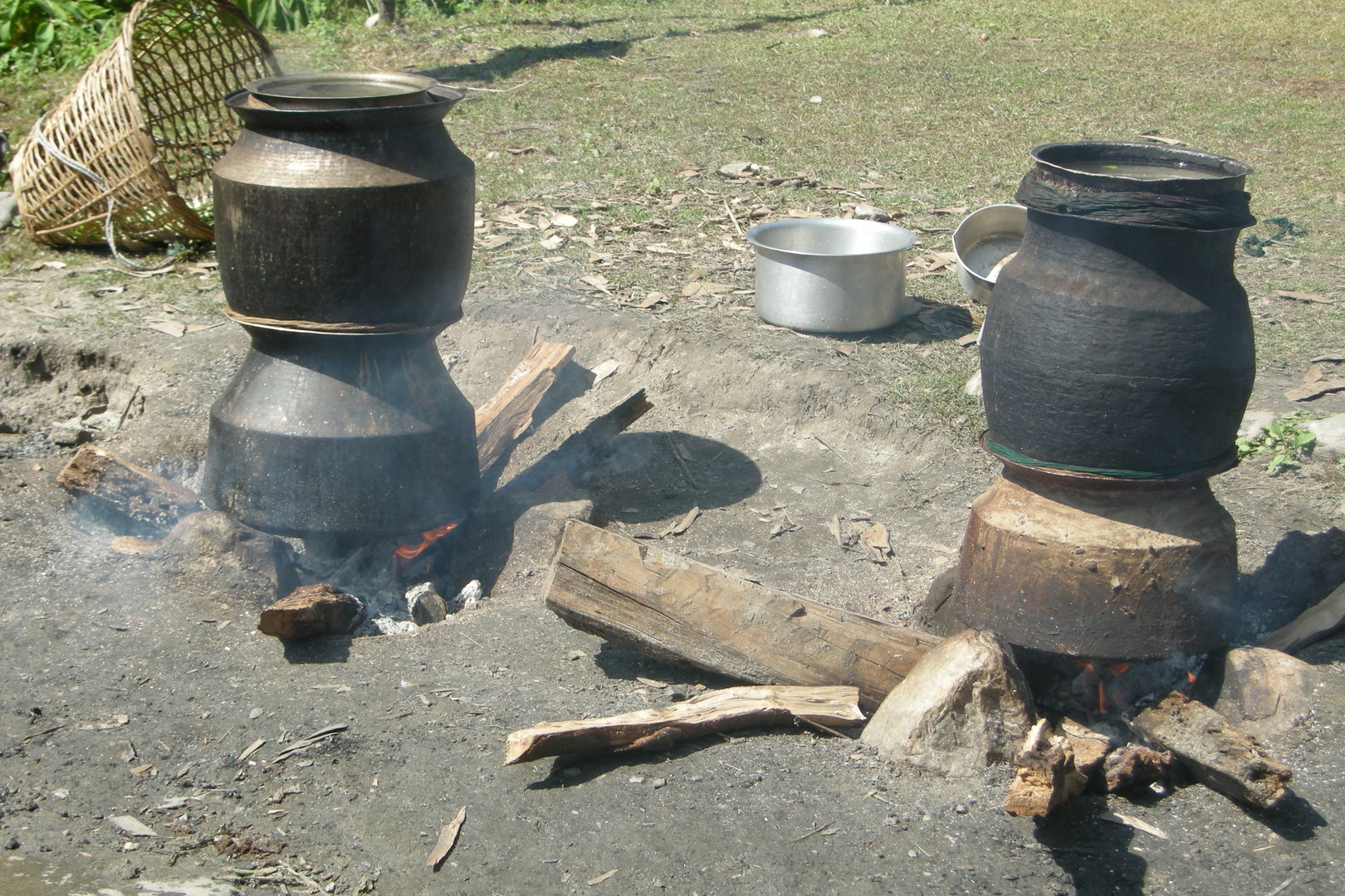
Soti Khola :: the satellite phone available for the public
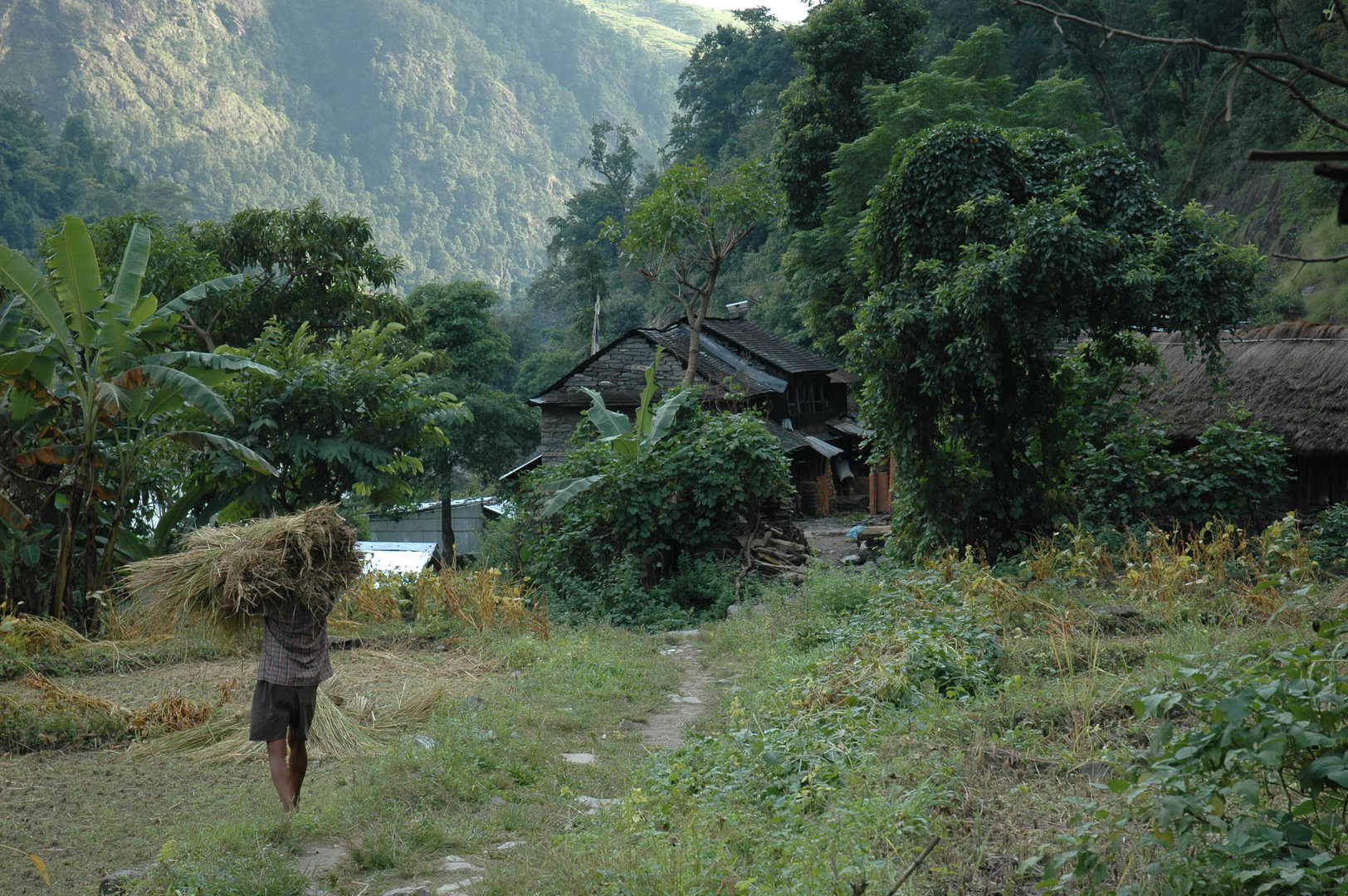
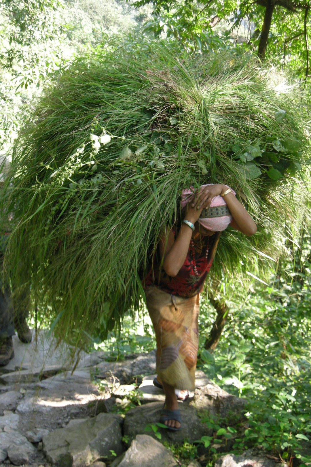
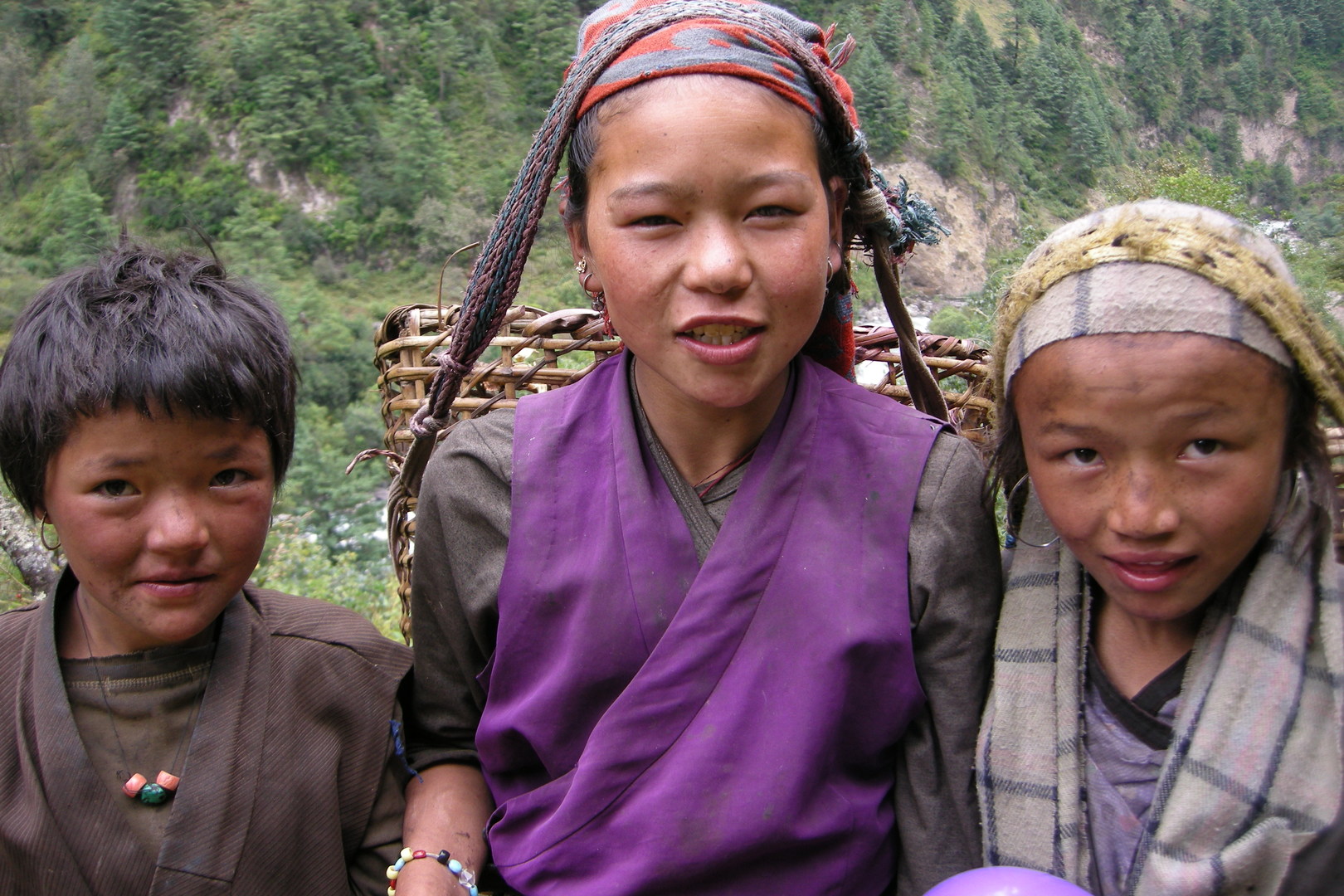
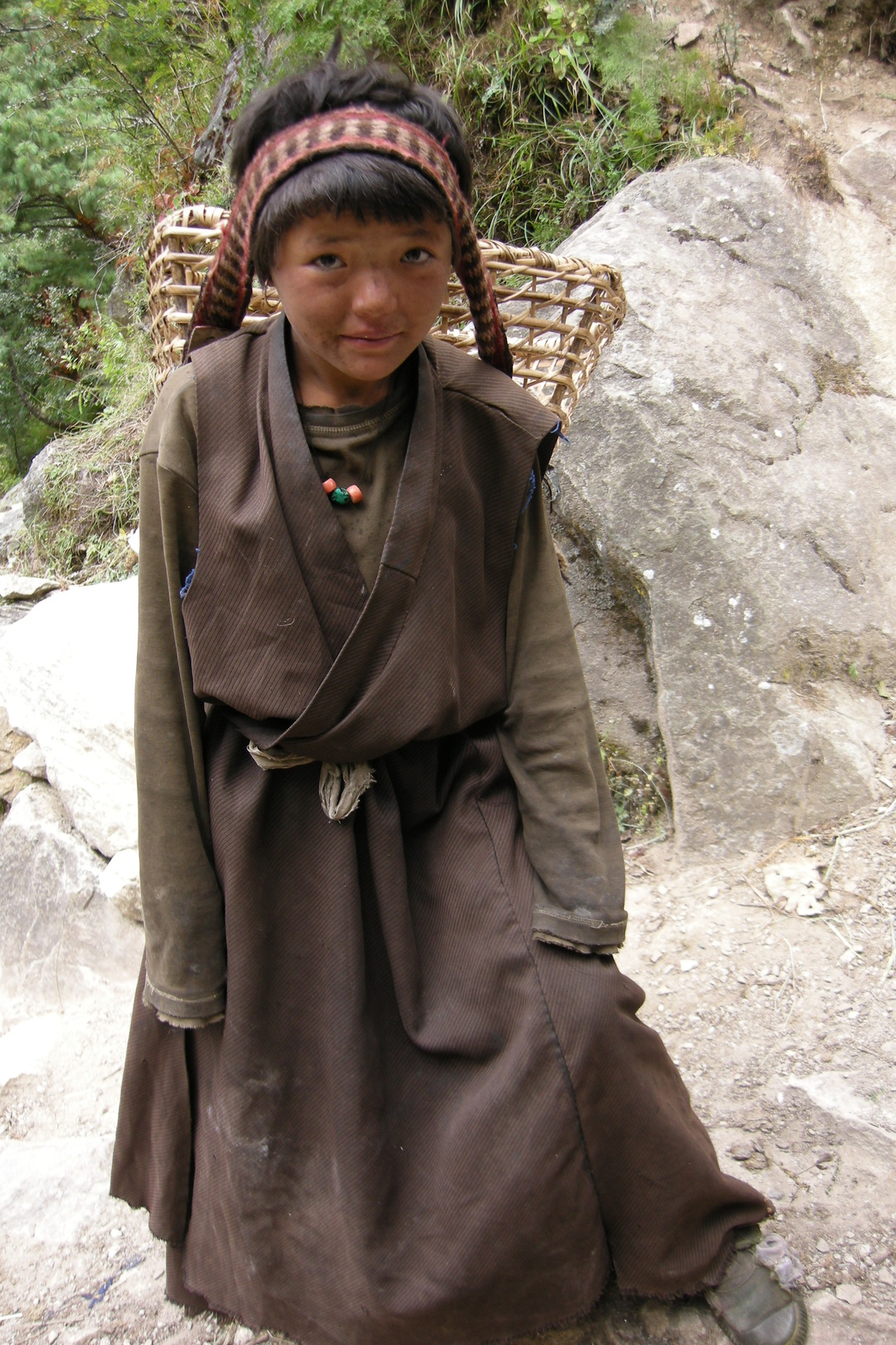
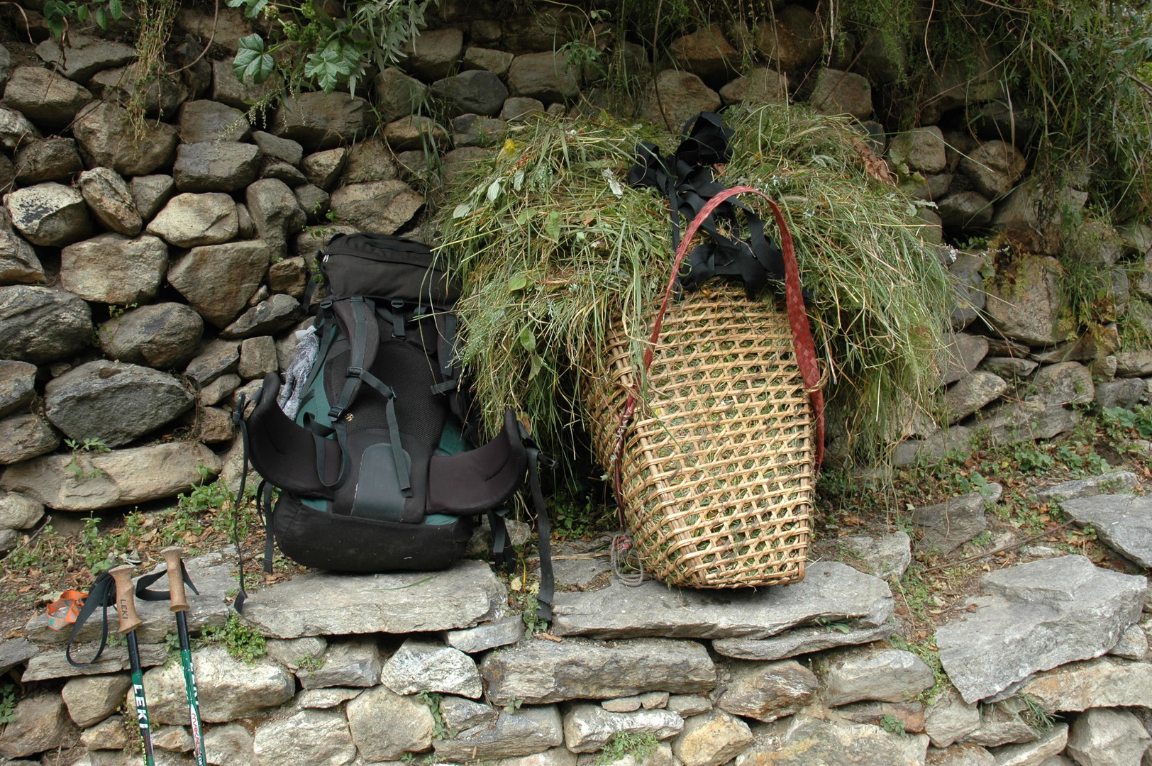
Towards Lapu Besi :: carrying hay
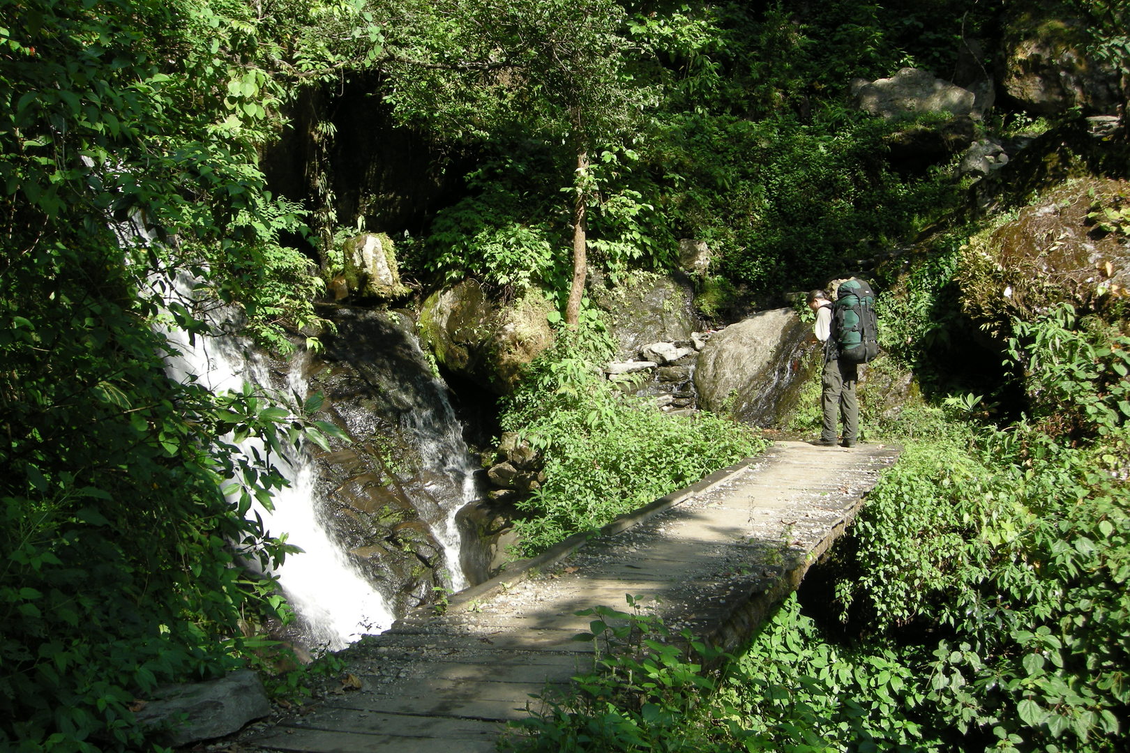
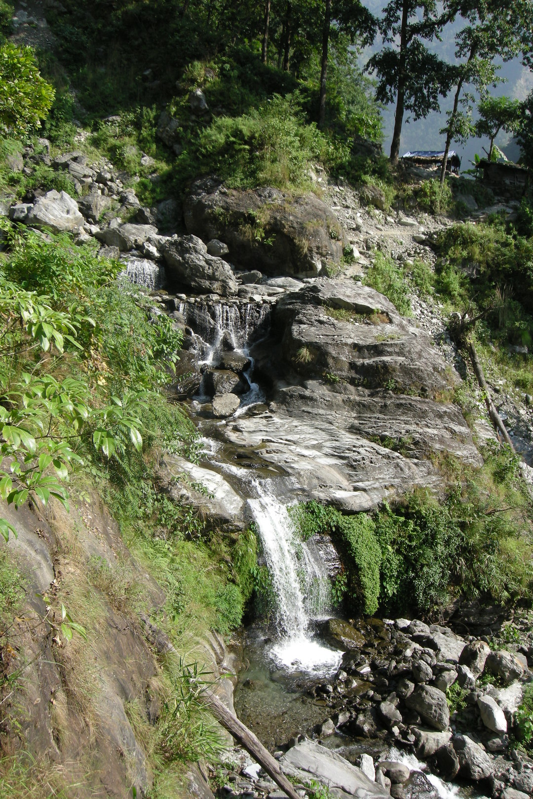
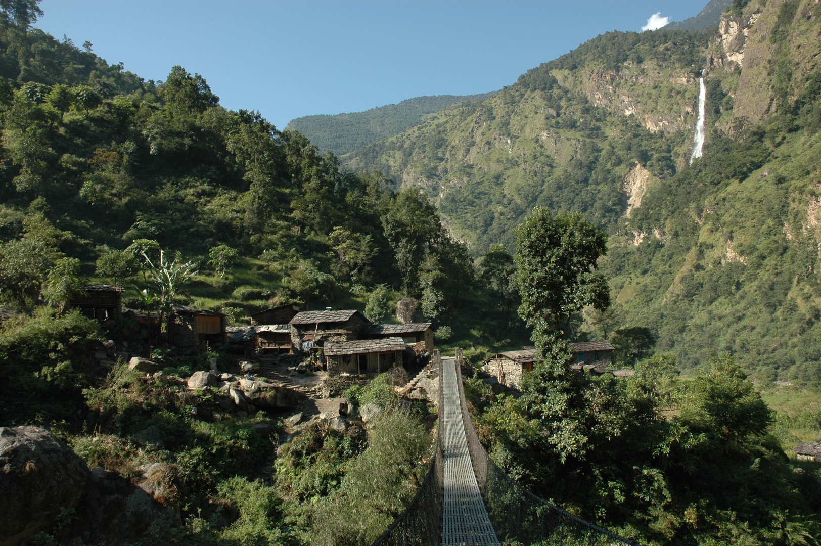
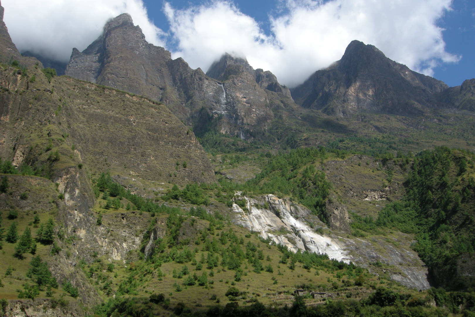
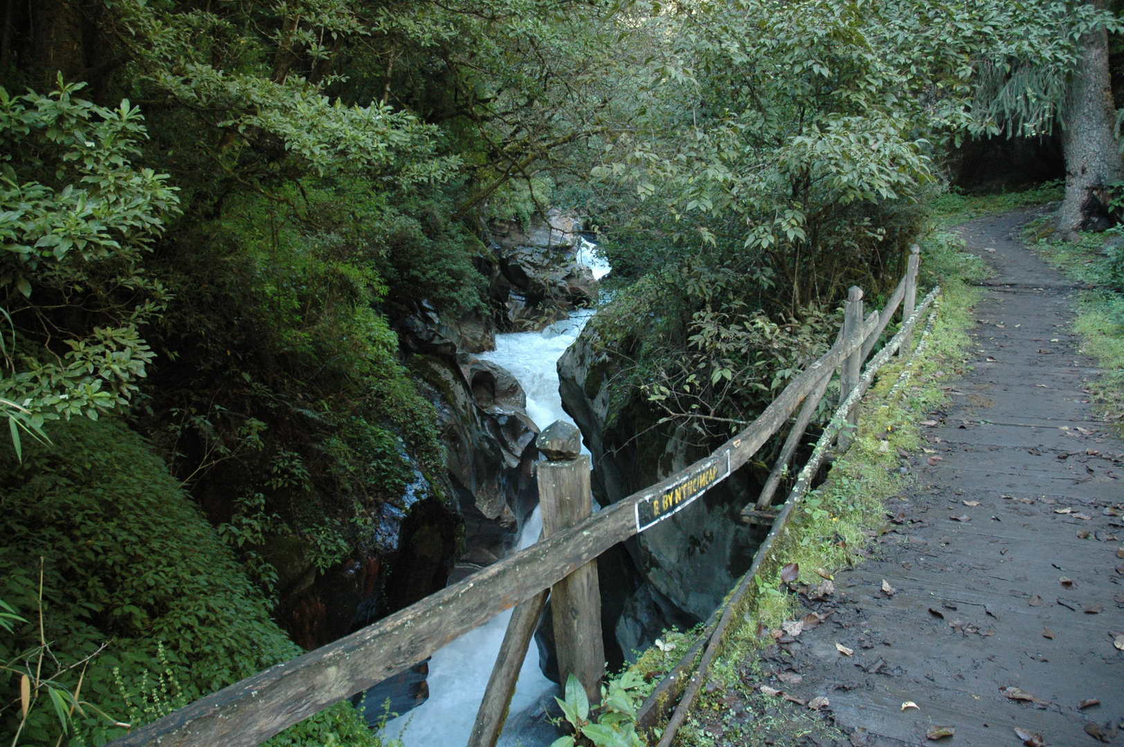
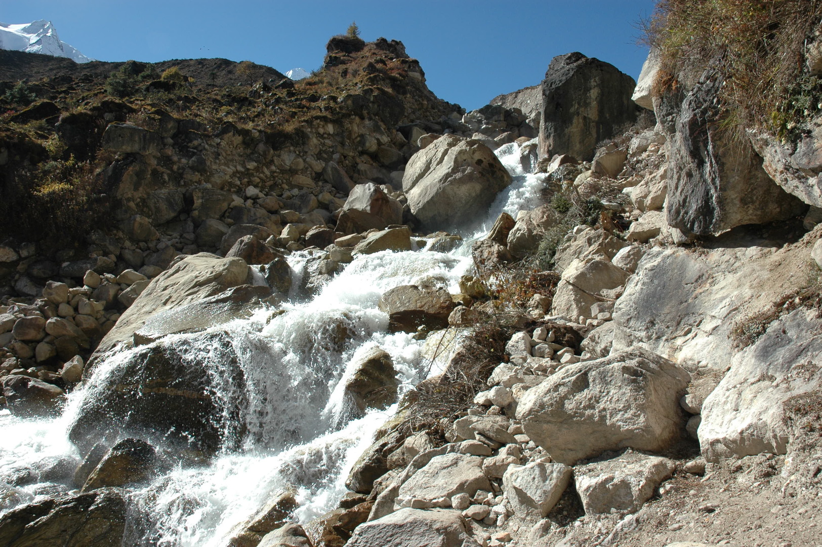
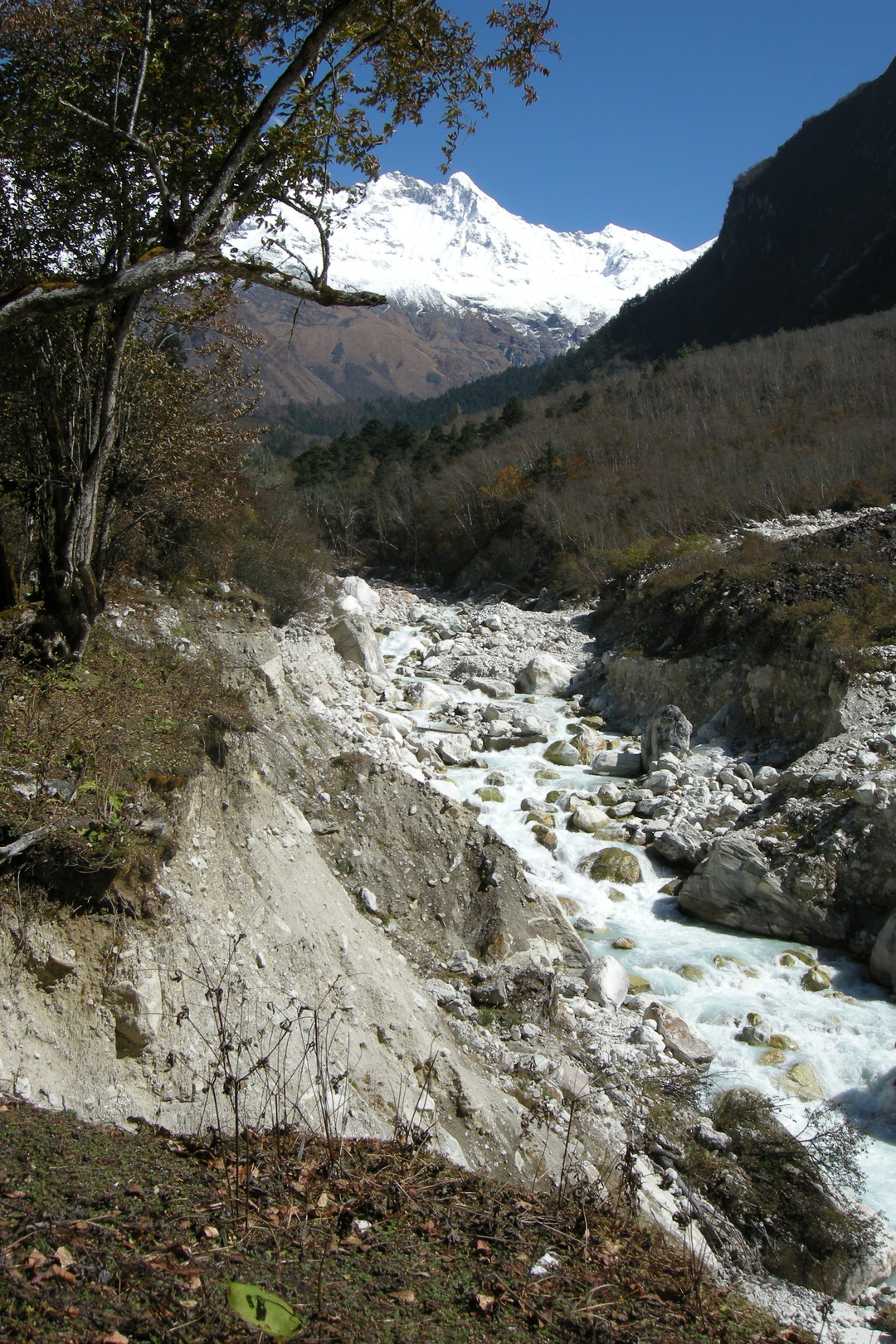
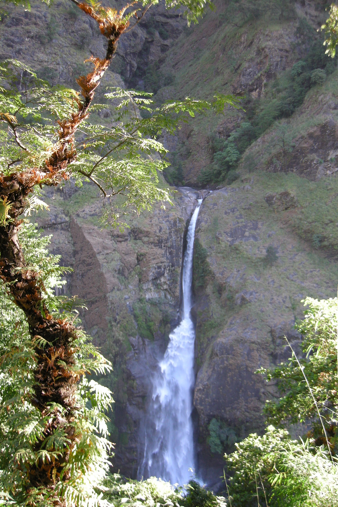
Towards Lapu Besi :: one of the waterfalls
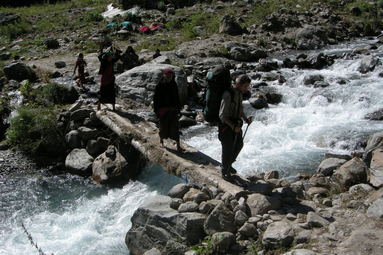
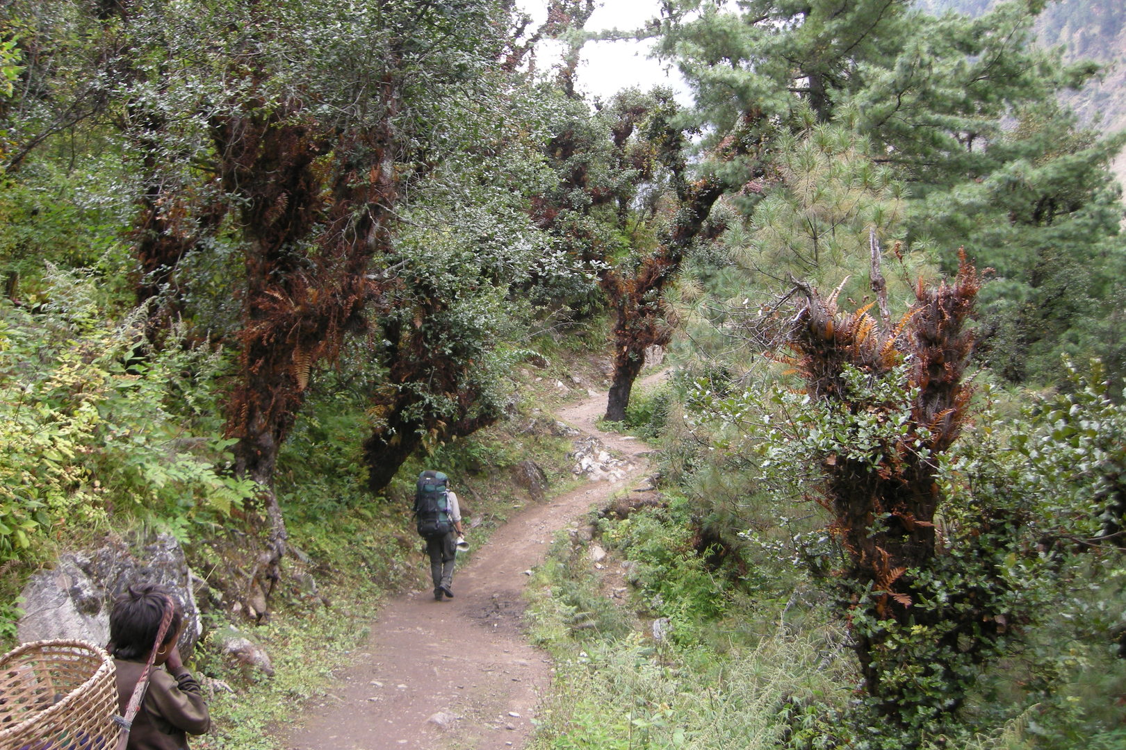
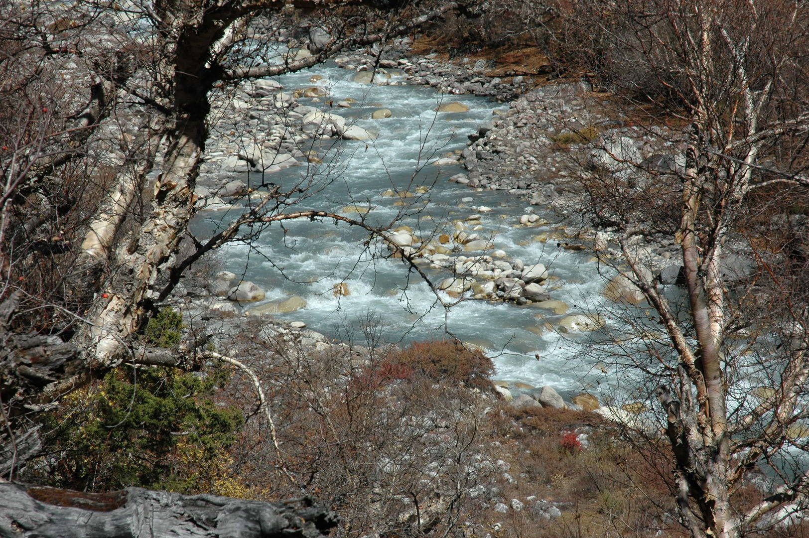
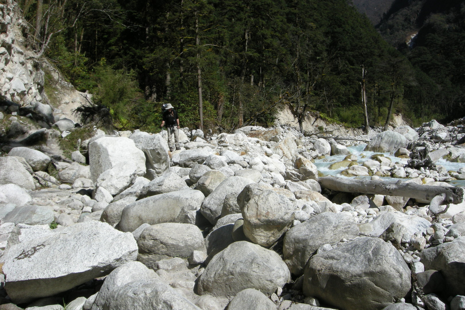
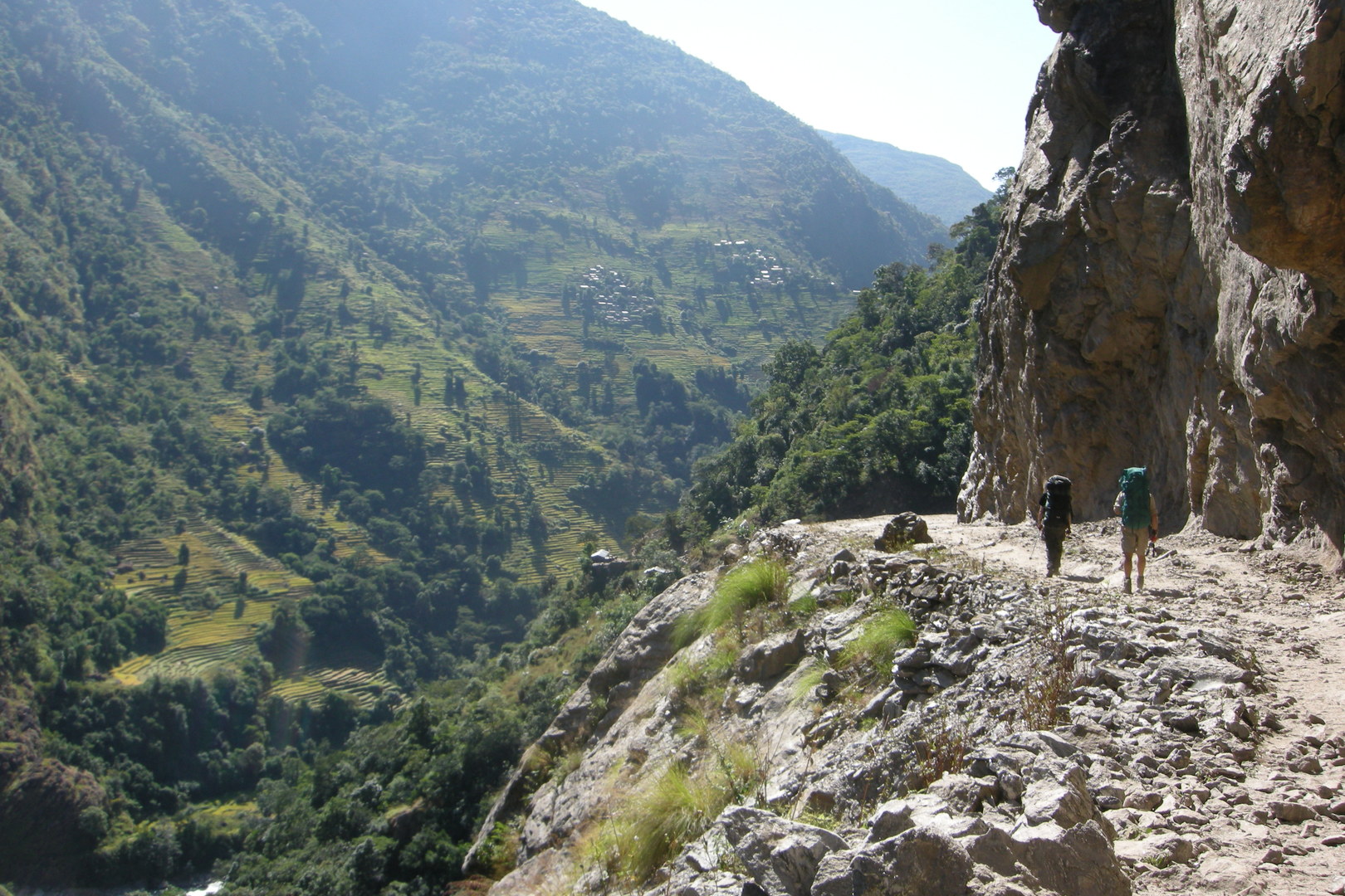
Towards Lapu Besi :: the trail along the noisy river
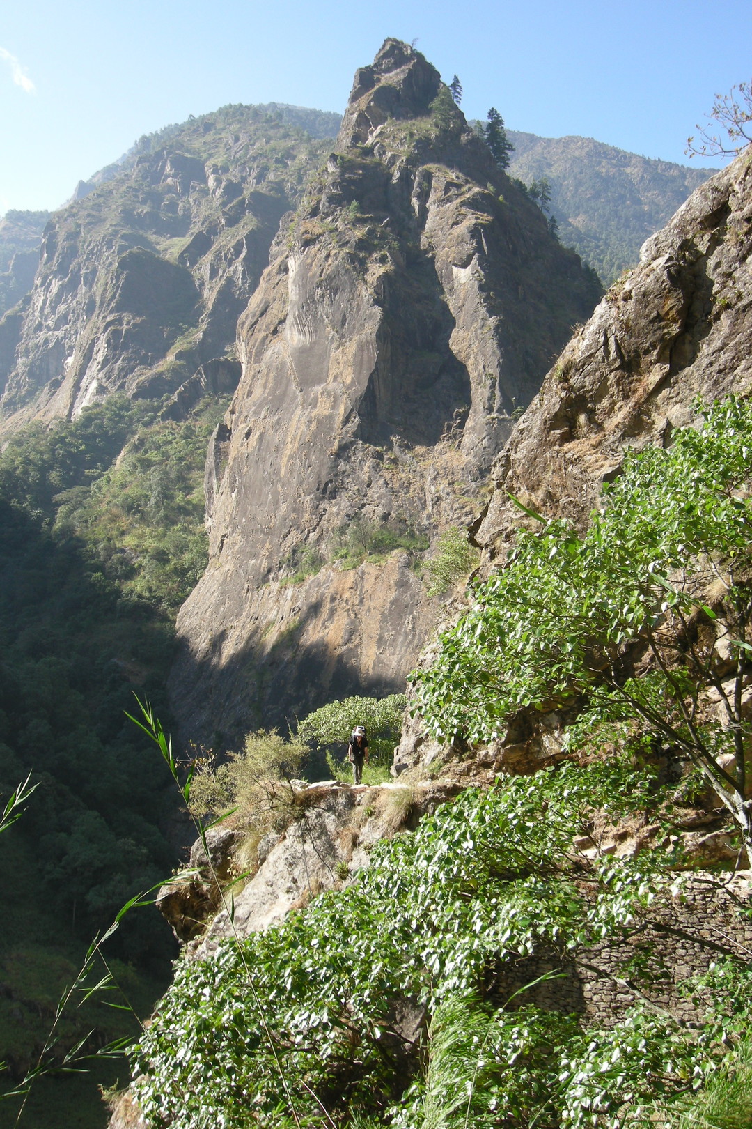
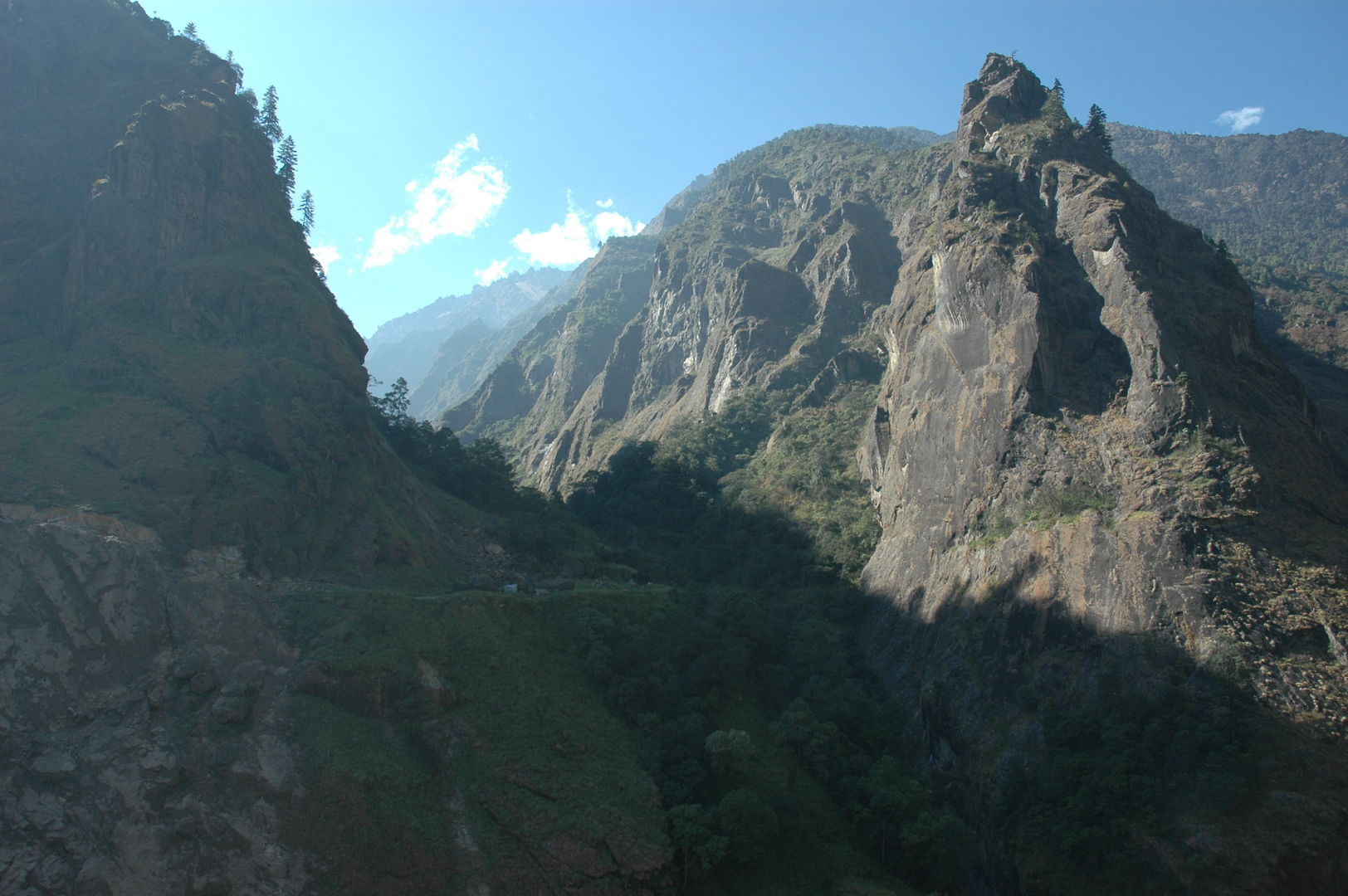
Towards Lapubesi :: one of these ridge climbs in the narrow river valley
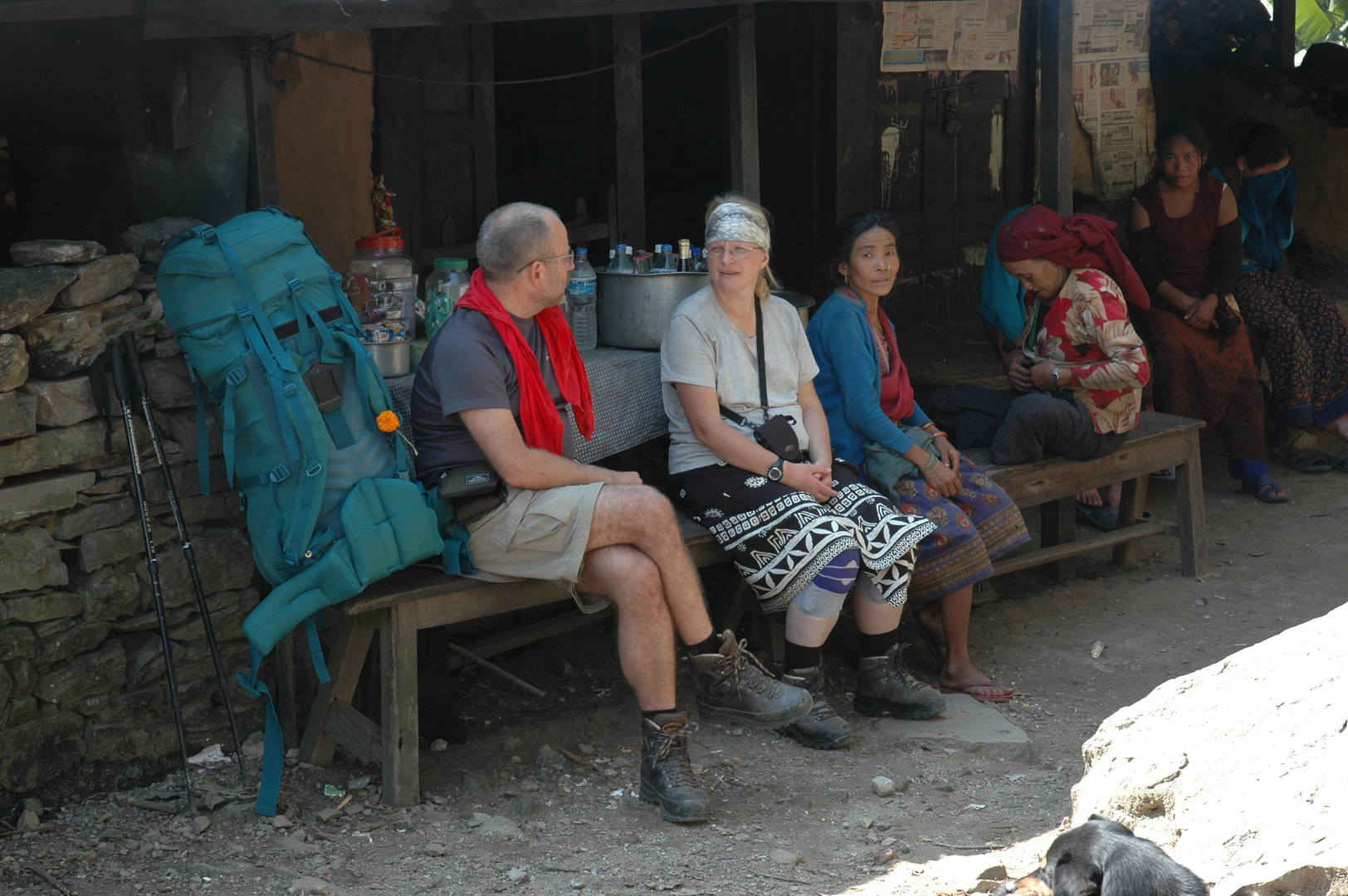
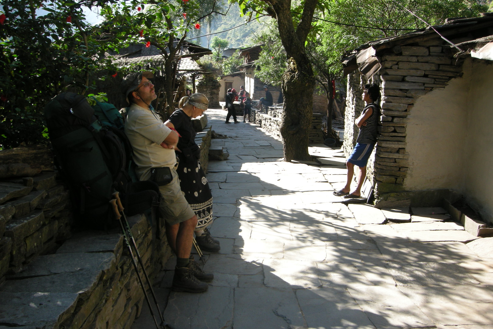
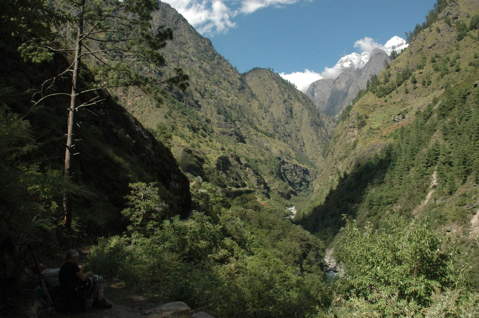
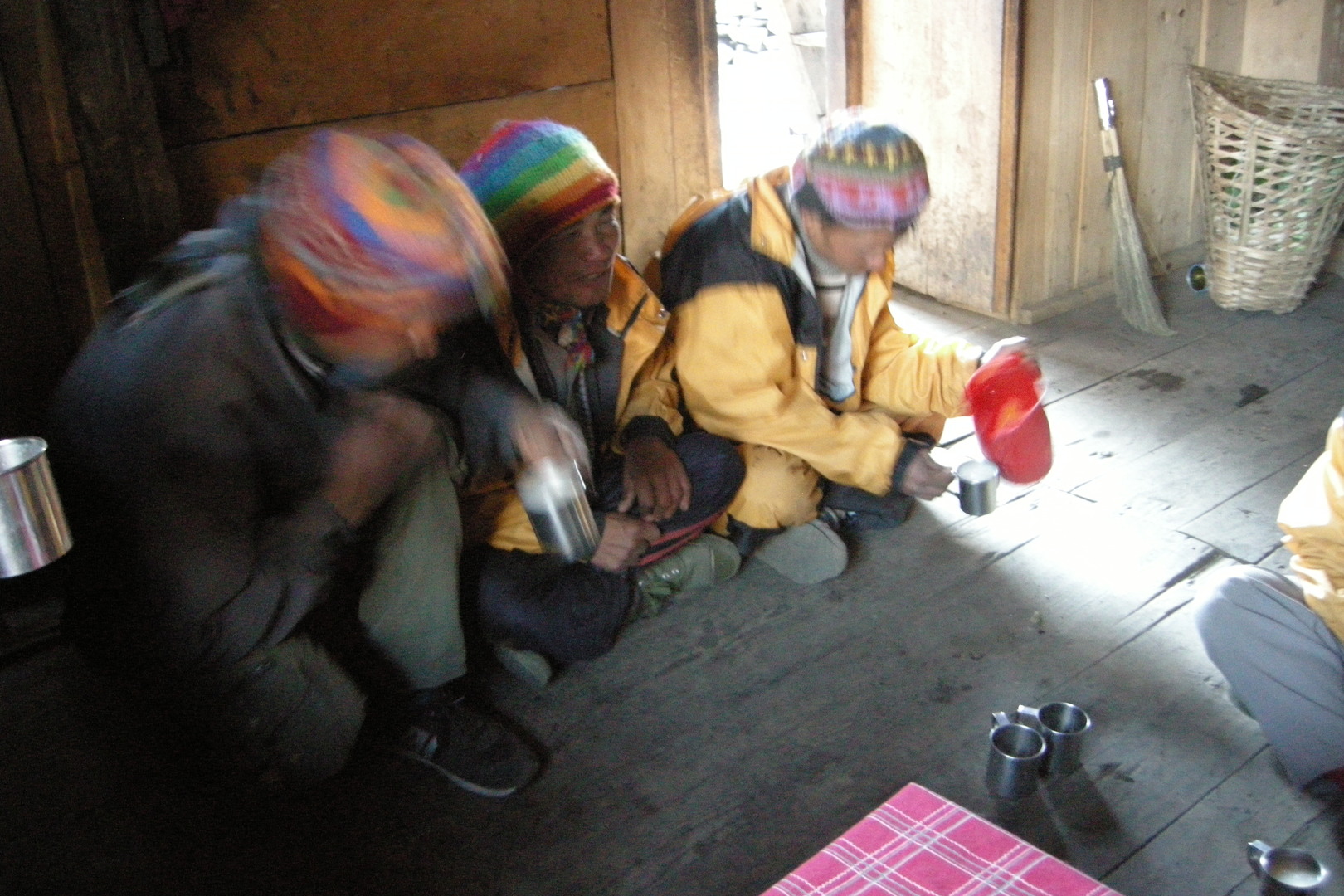
Towards Lapubesi :: resting by a bhatti
Towards Lapu Besi :: the village in sight
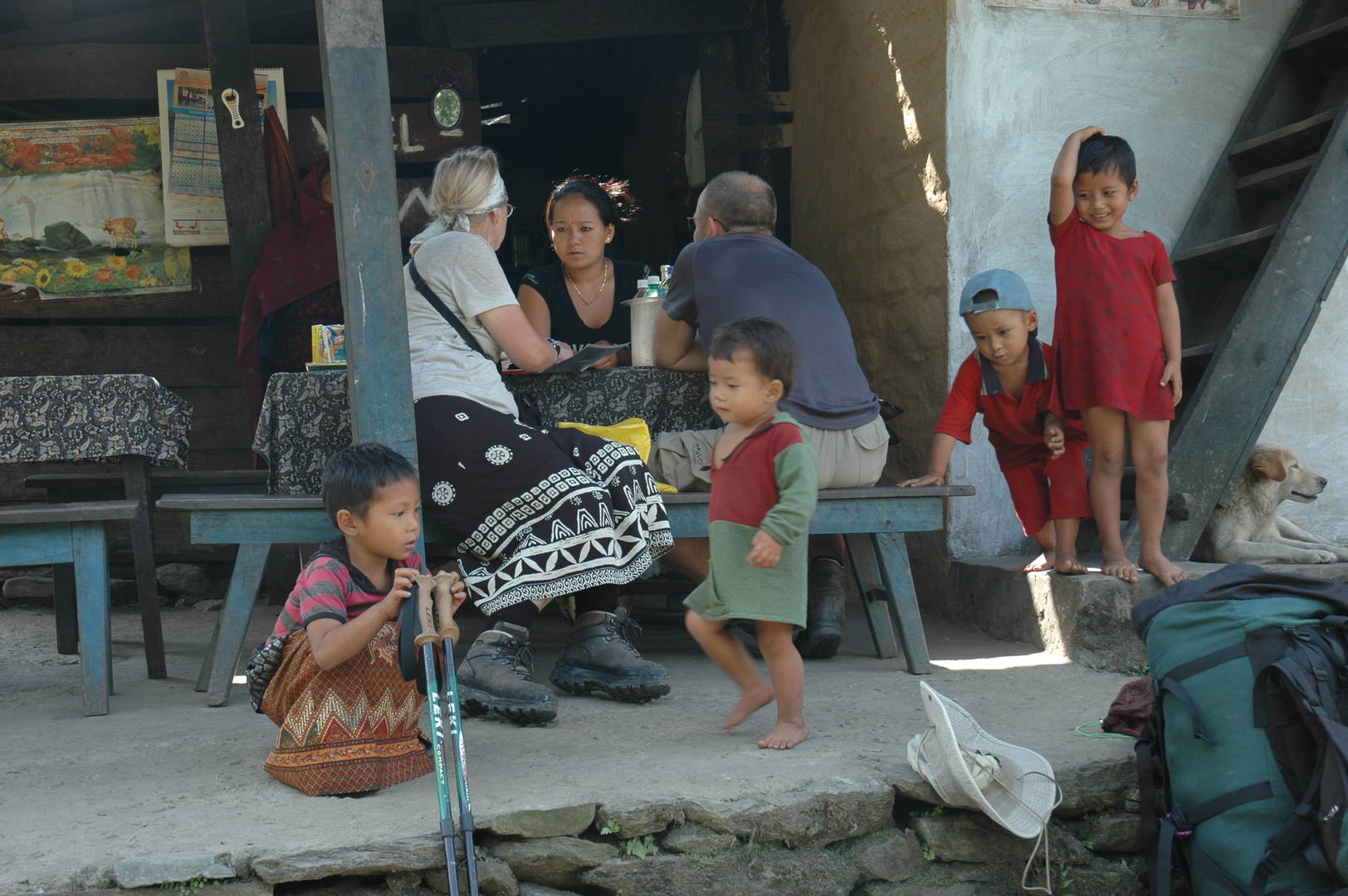
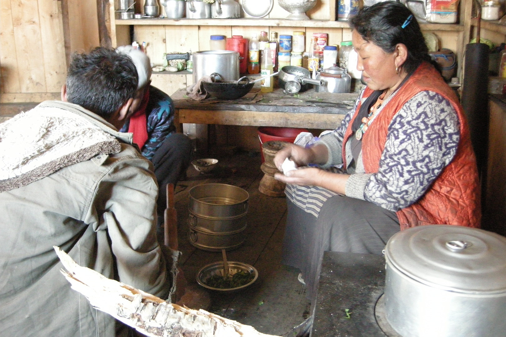
Lapu Besi :: setting the lunch menu in a lodge
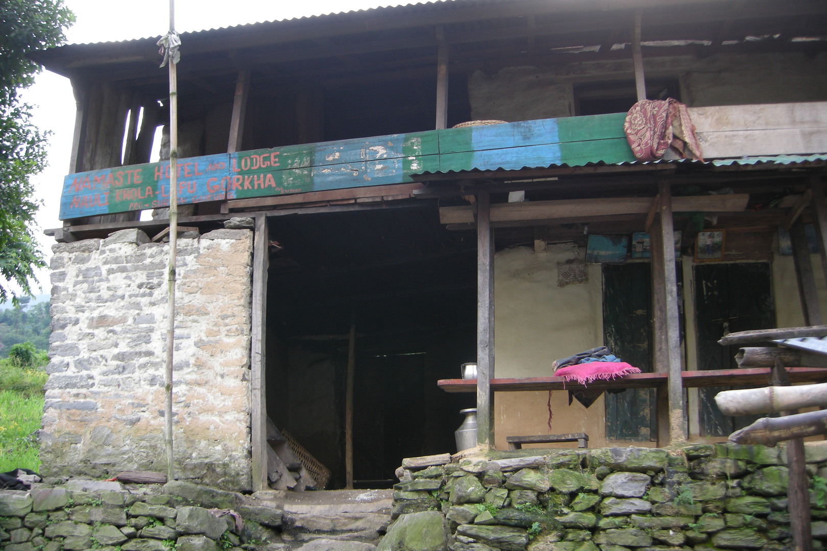
Nauli Khola :: a welcoming lodge
Nauli Khola :: the bridge and the fresh, active landslide on the left bank
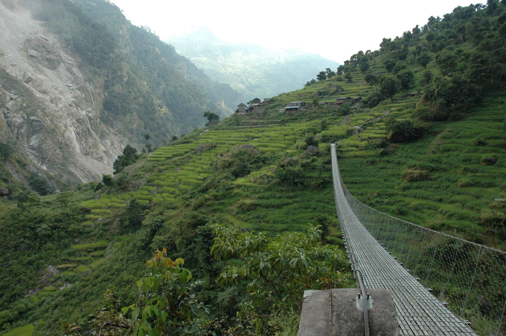
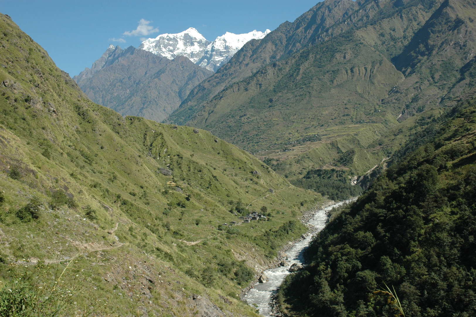
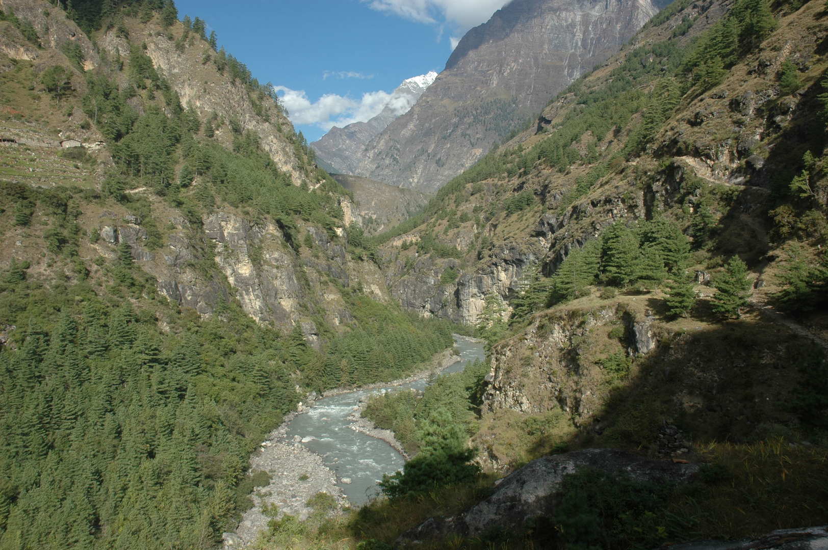
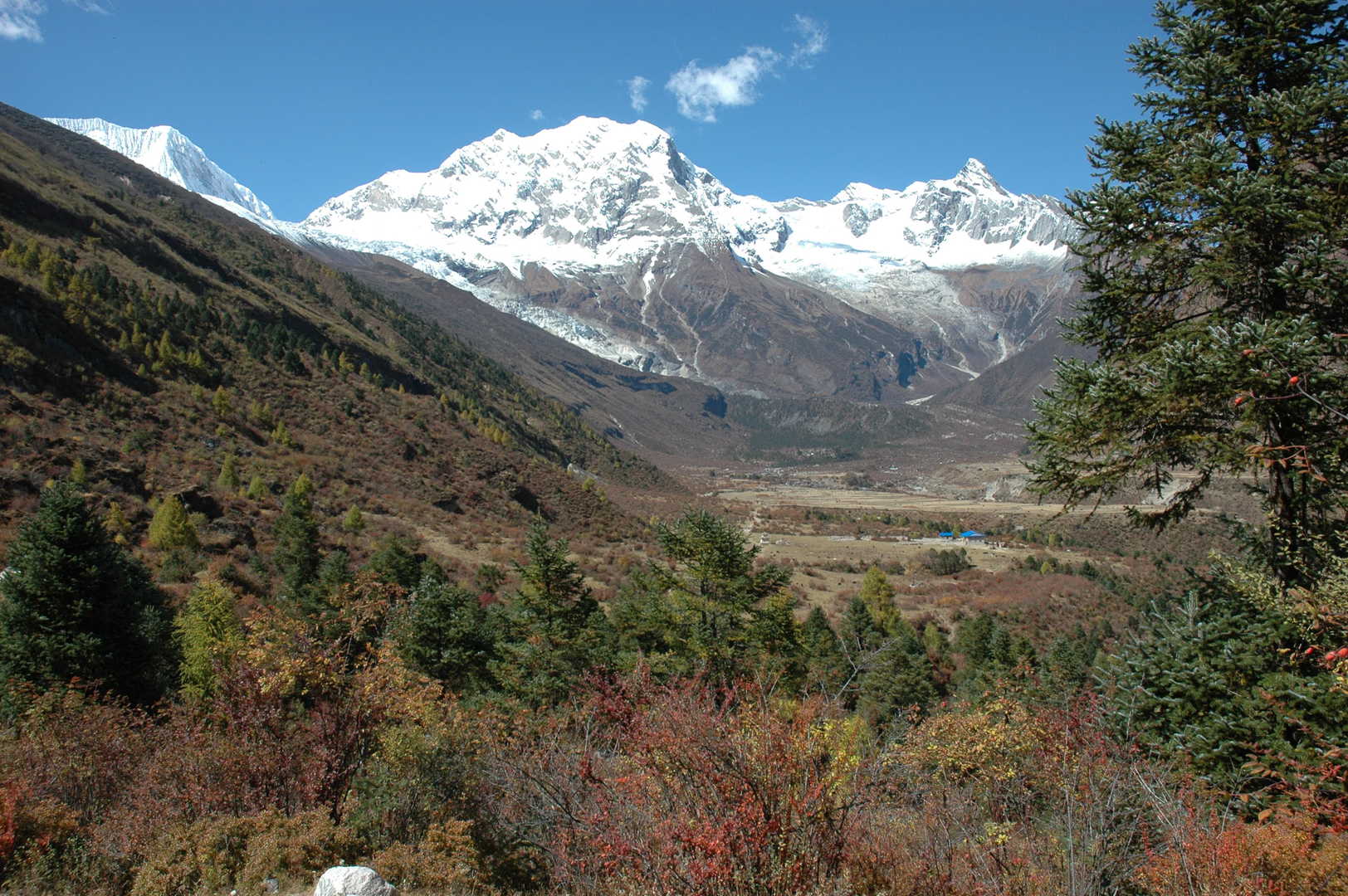
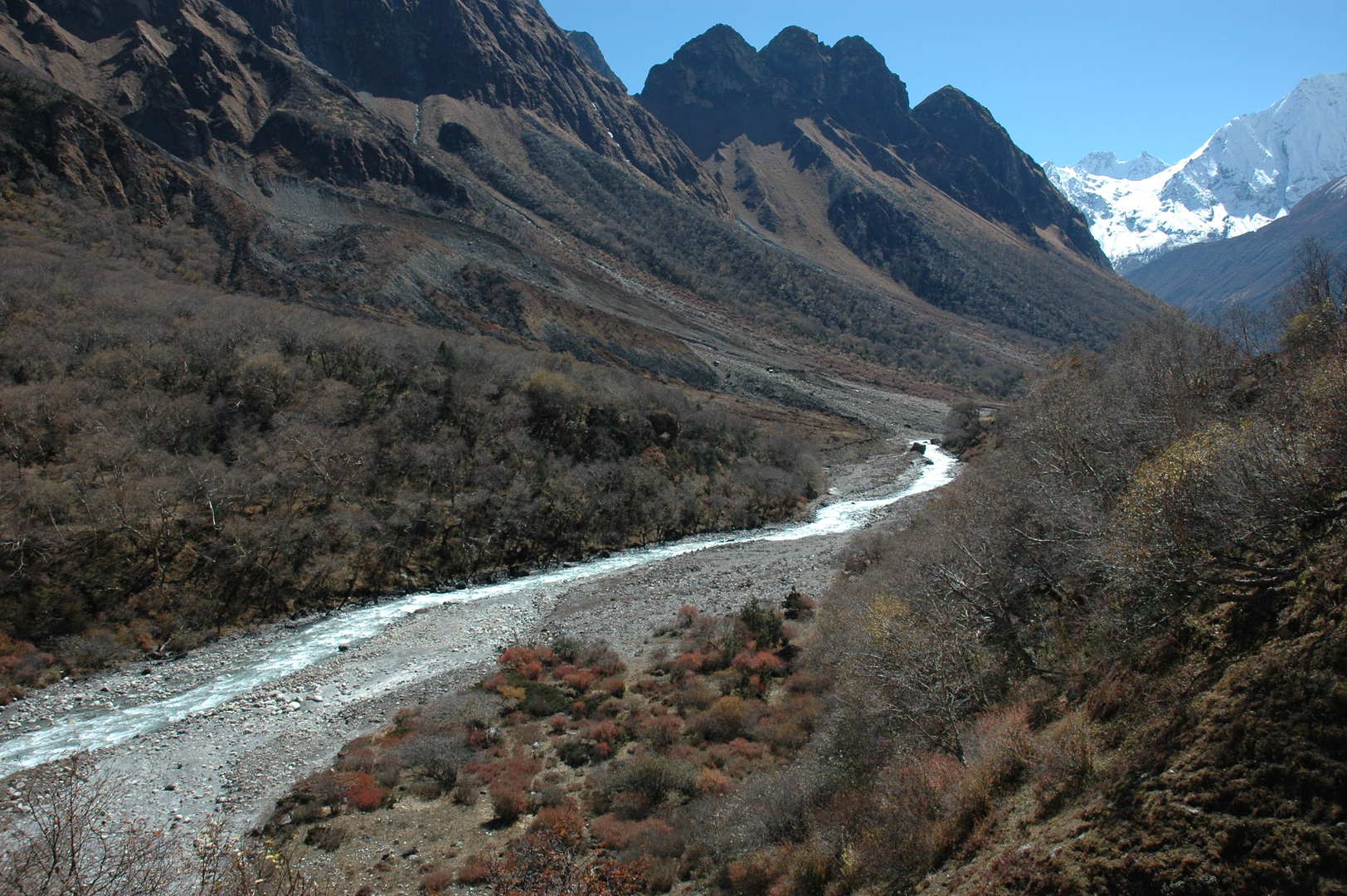
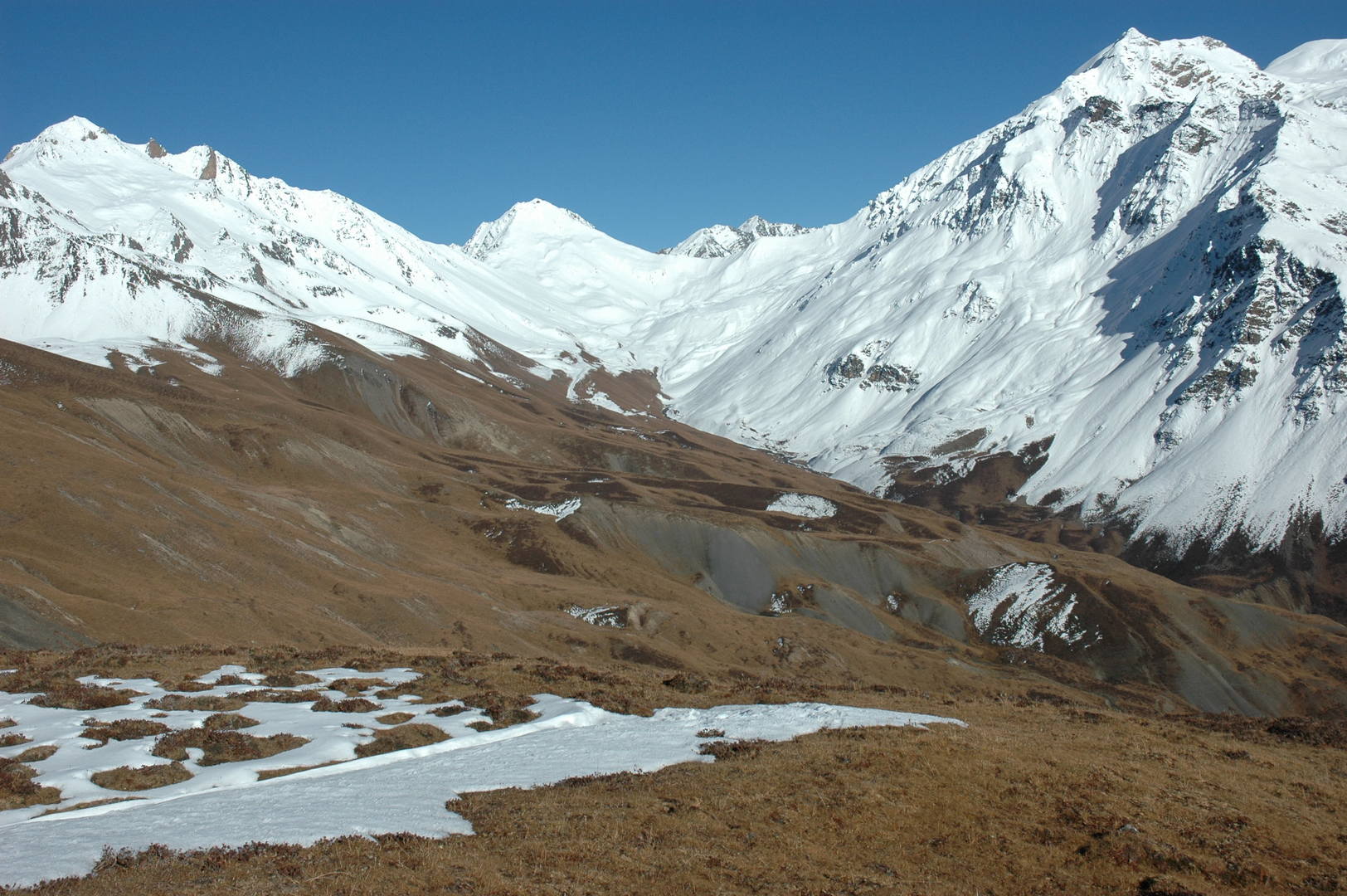
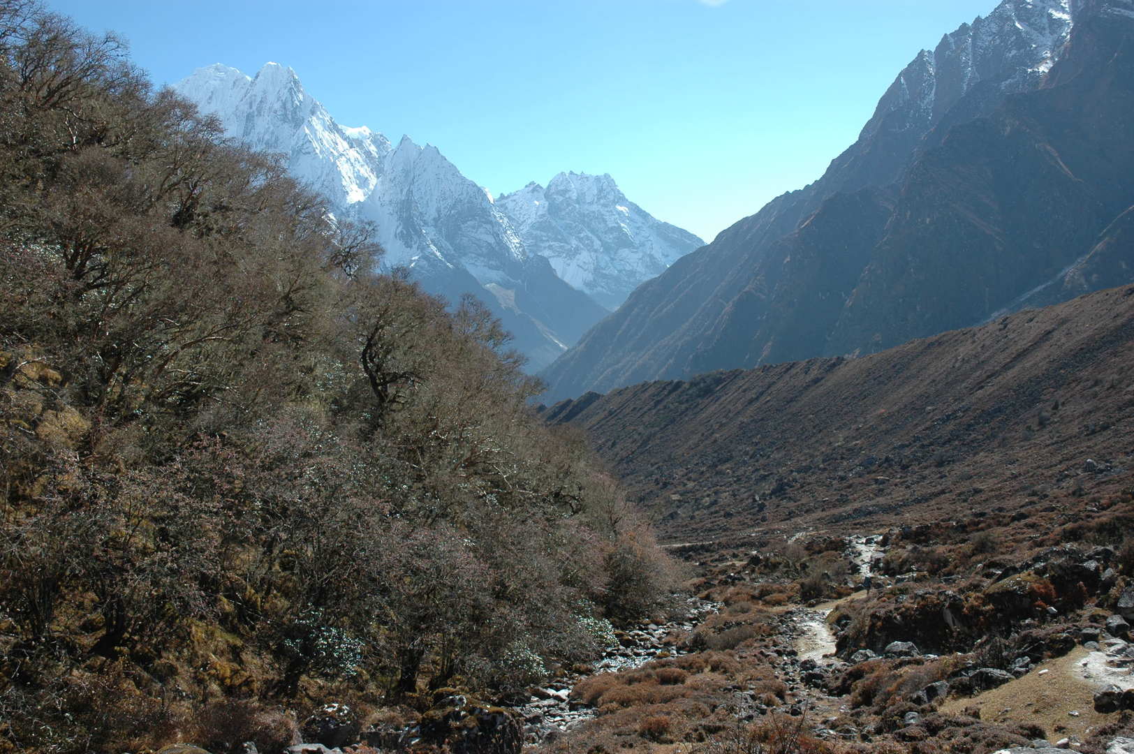
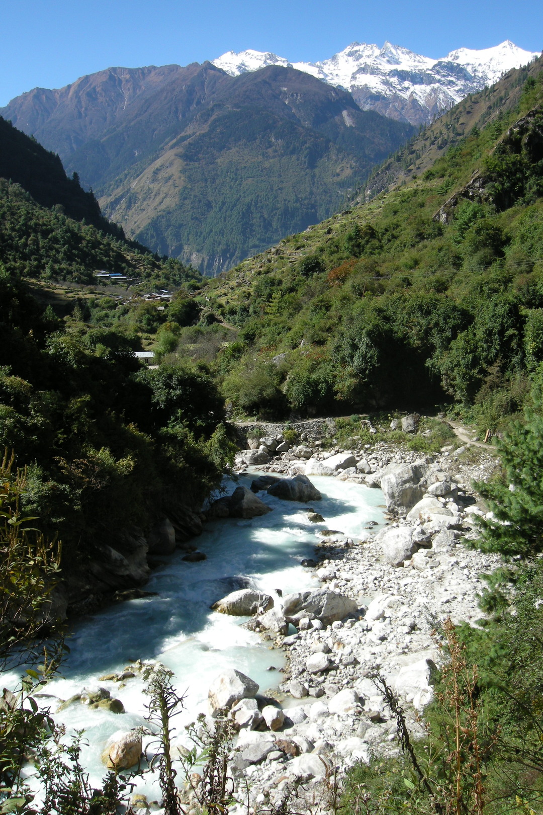
North of Nauli Khola :: the Buddhi Gandaki valley broadens
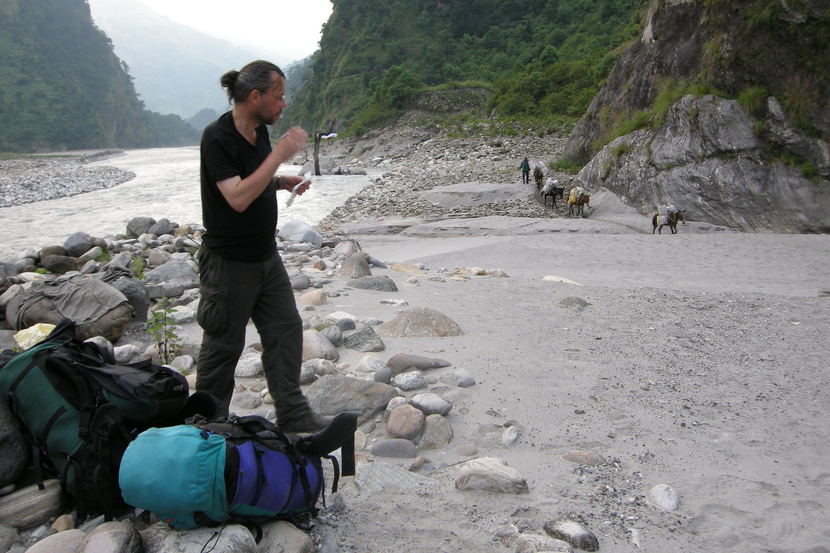
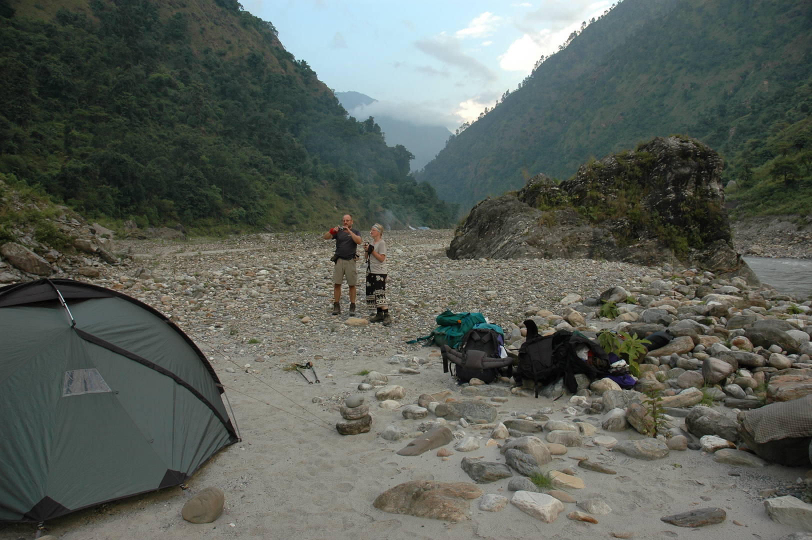
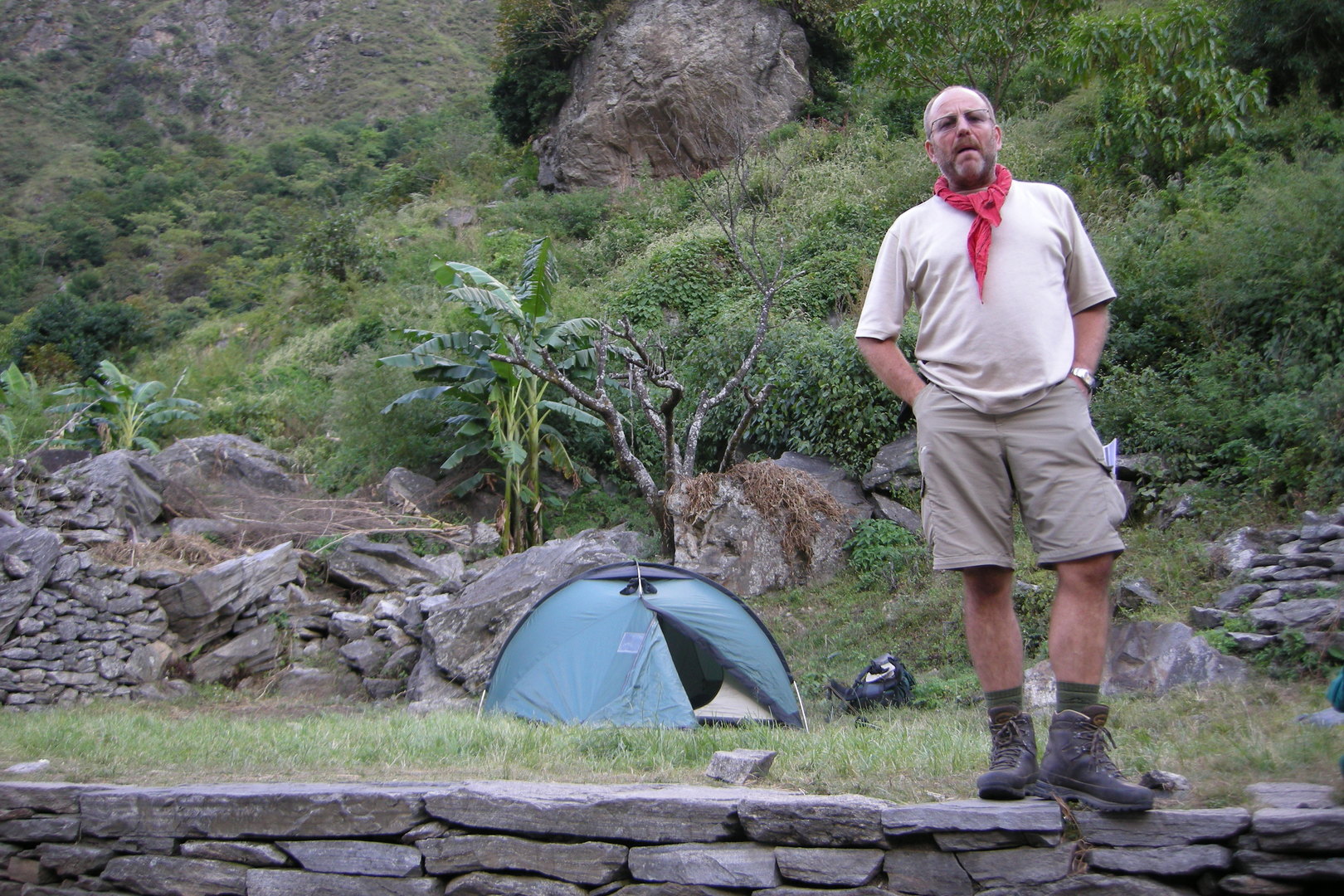
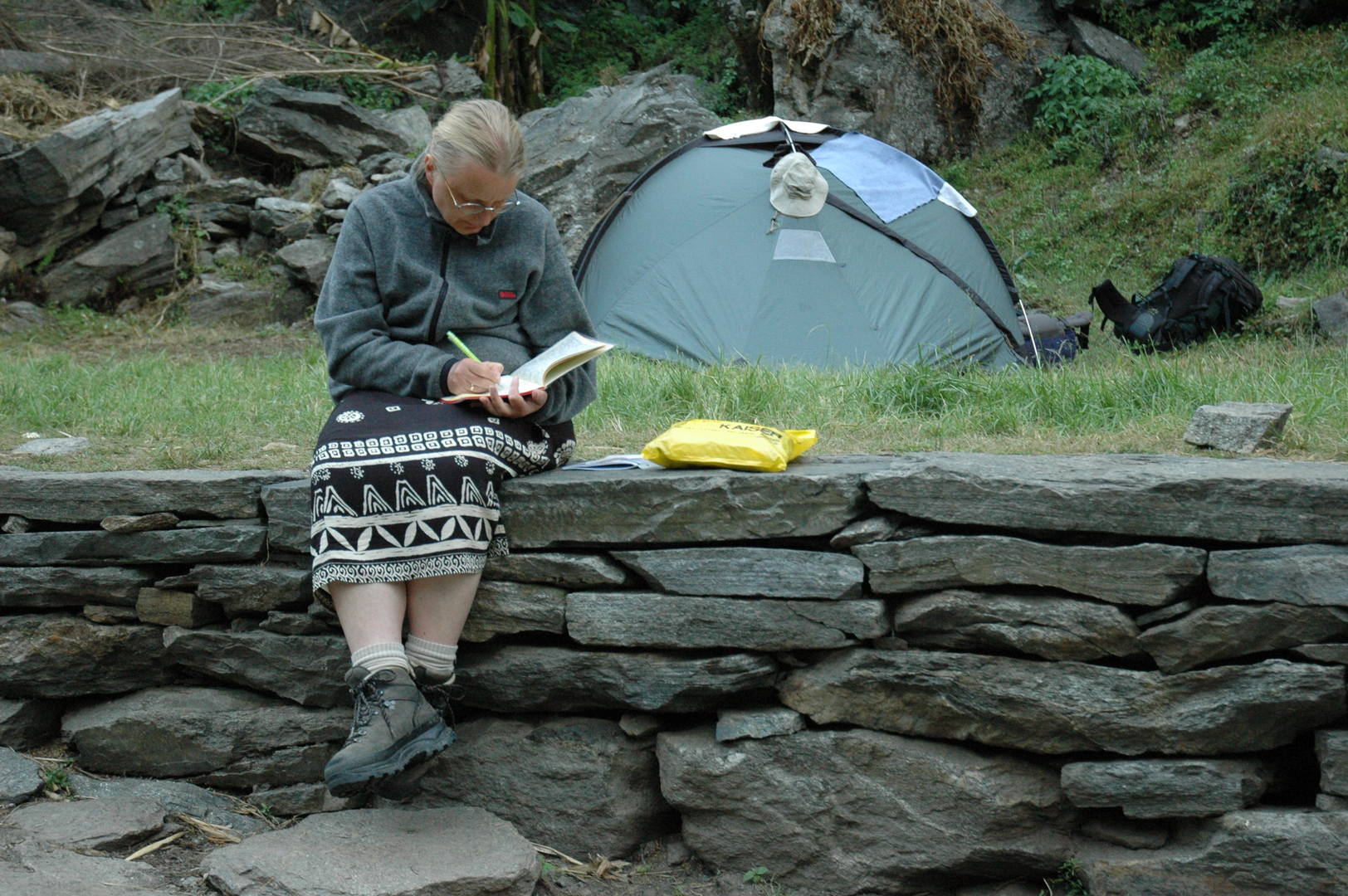
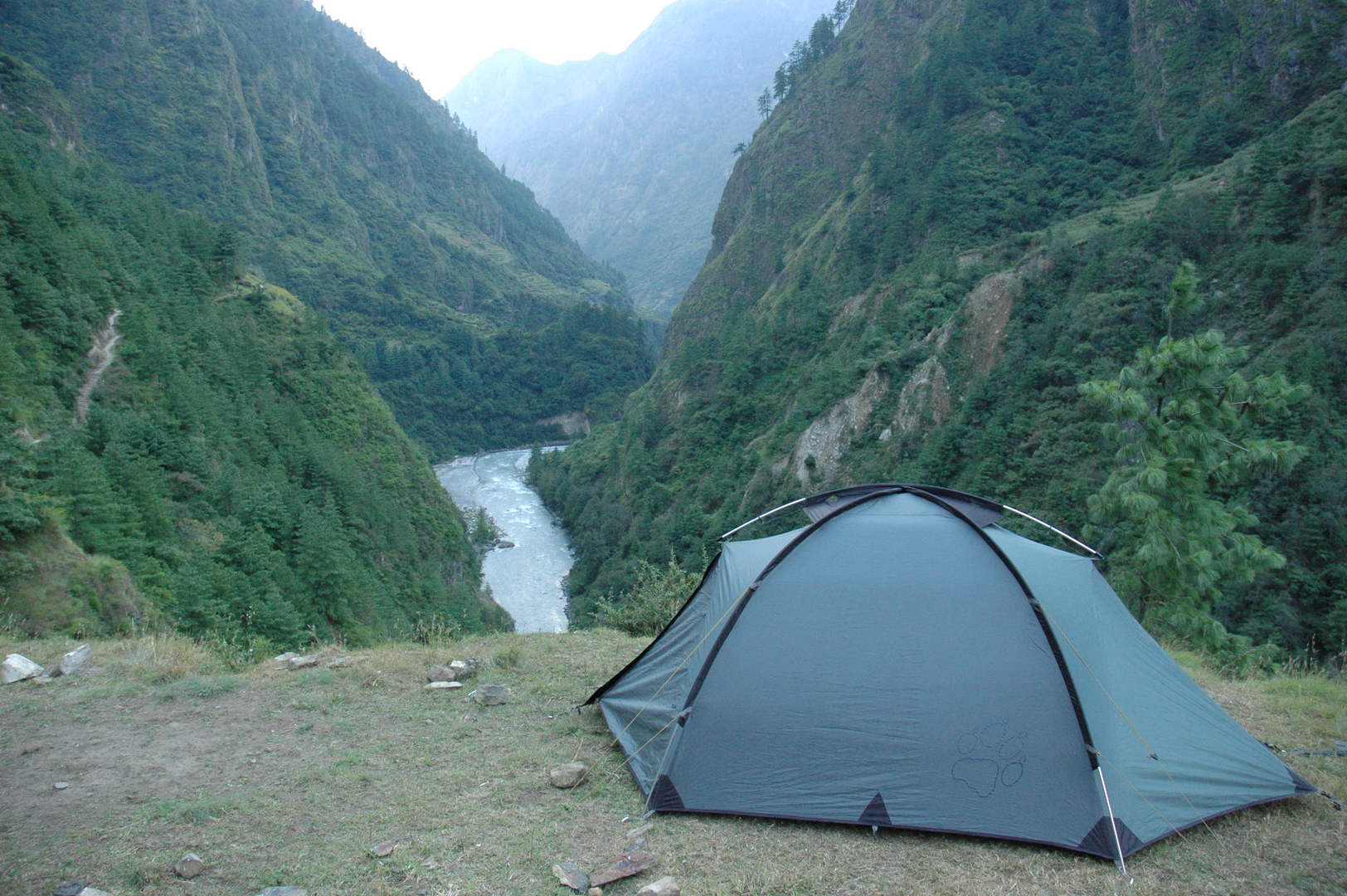
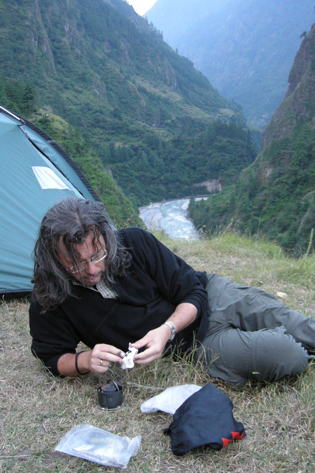
By Khanibesi :: beach camping
By Khanibesi :: beach camping
By Khanibesi :: beach camping
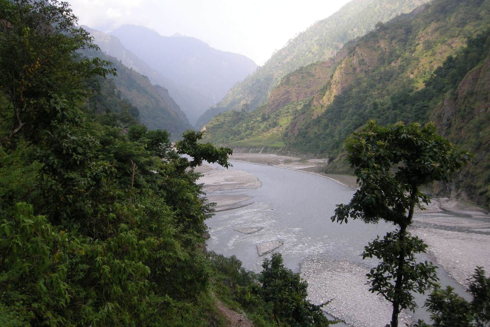
By Machha Khola :: looking north
Khorlabesi
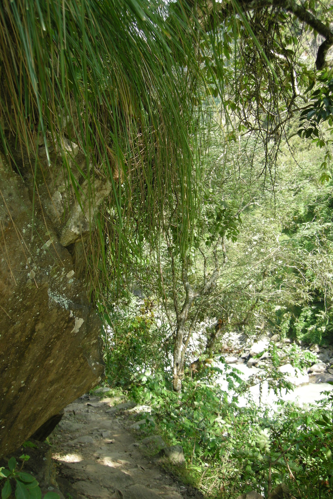
By Lisyapu
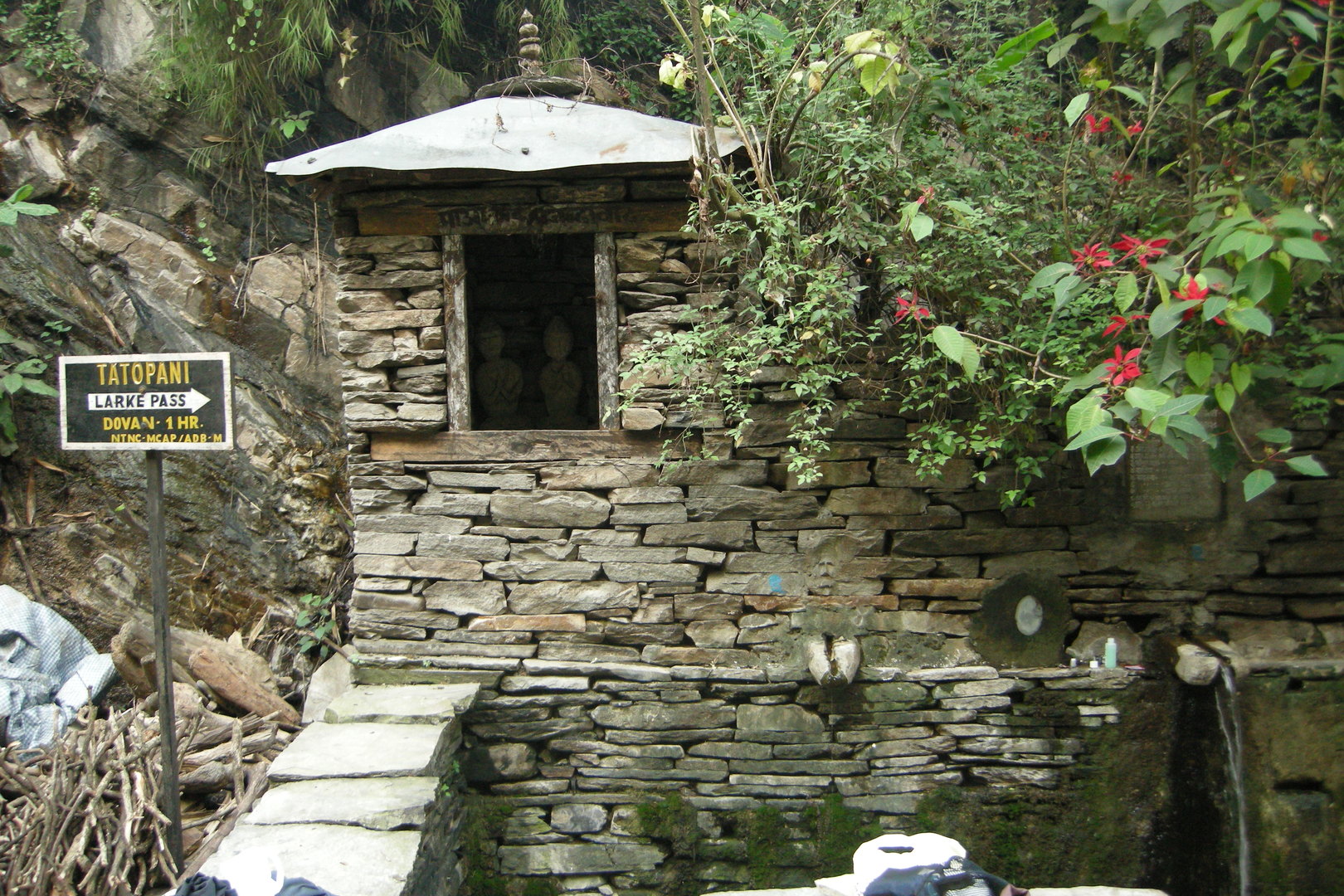
Tatopani :: Gods guarding the hot sources
Tatopani :: the main street
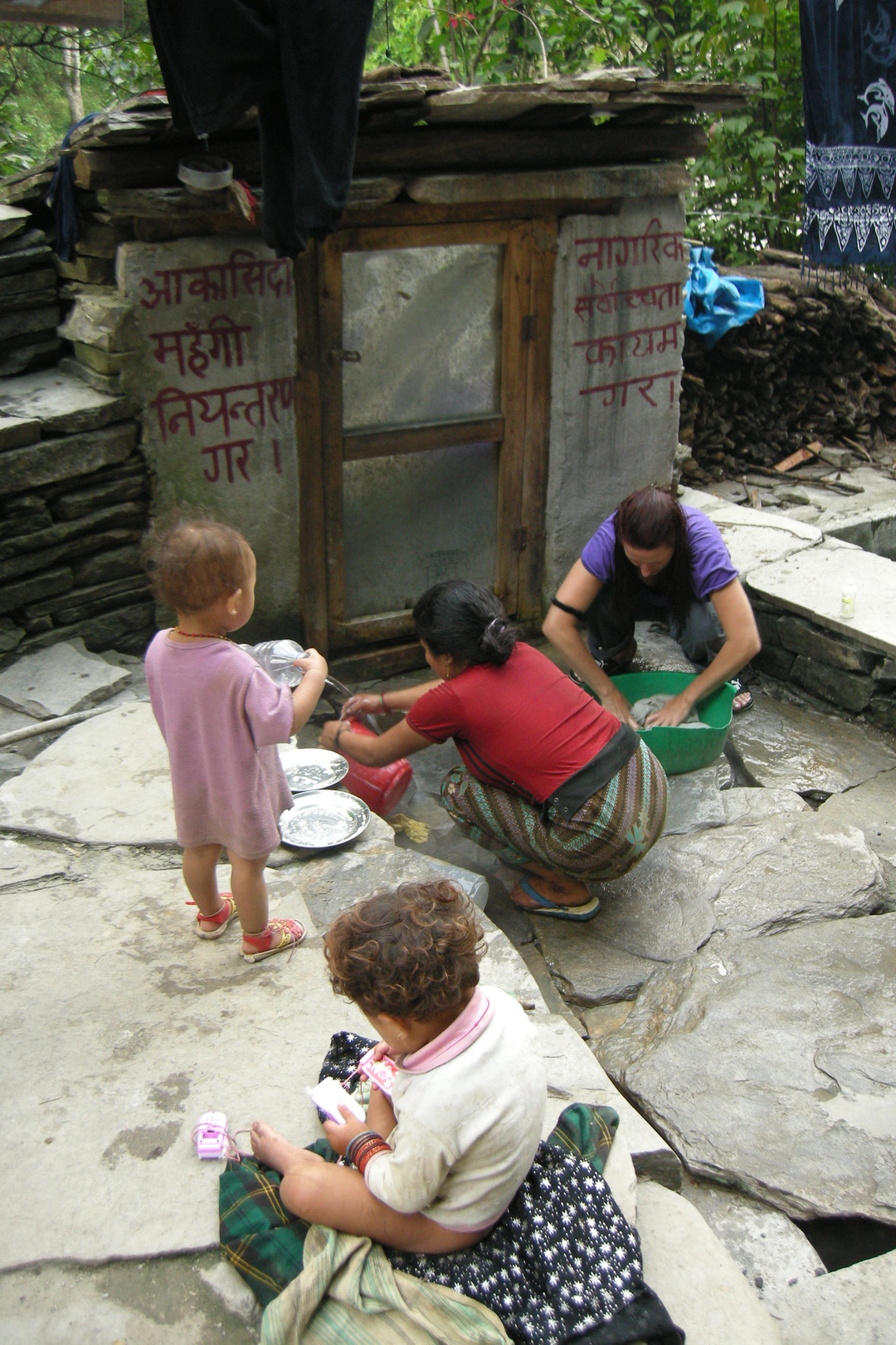
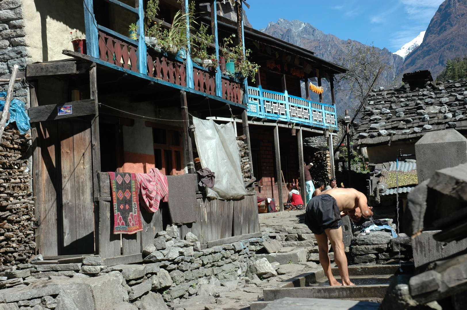
Tatopani :: the wash day by a toilet adorned with Maoist slogans
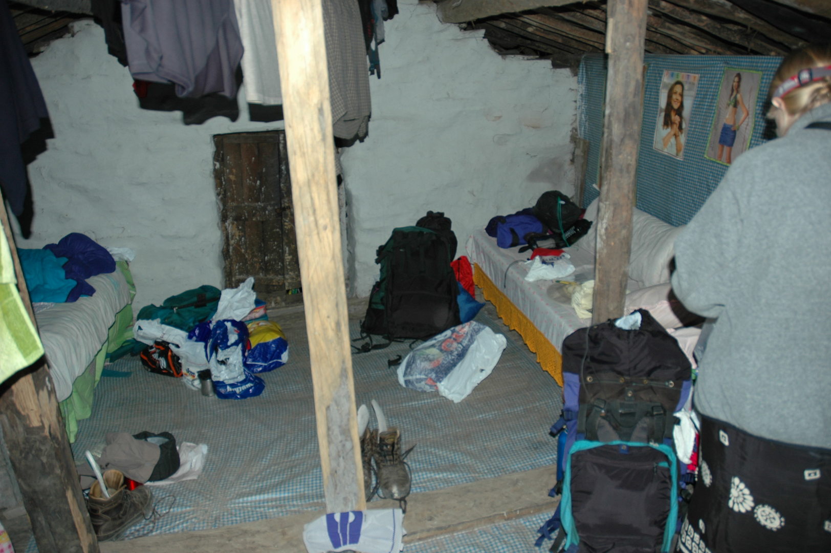
Tatopani :: sleeping upstairs
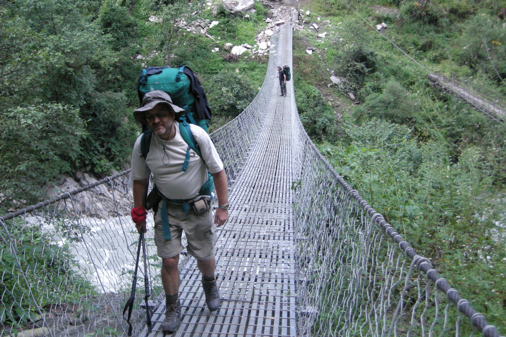
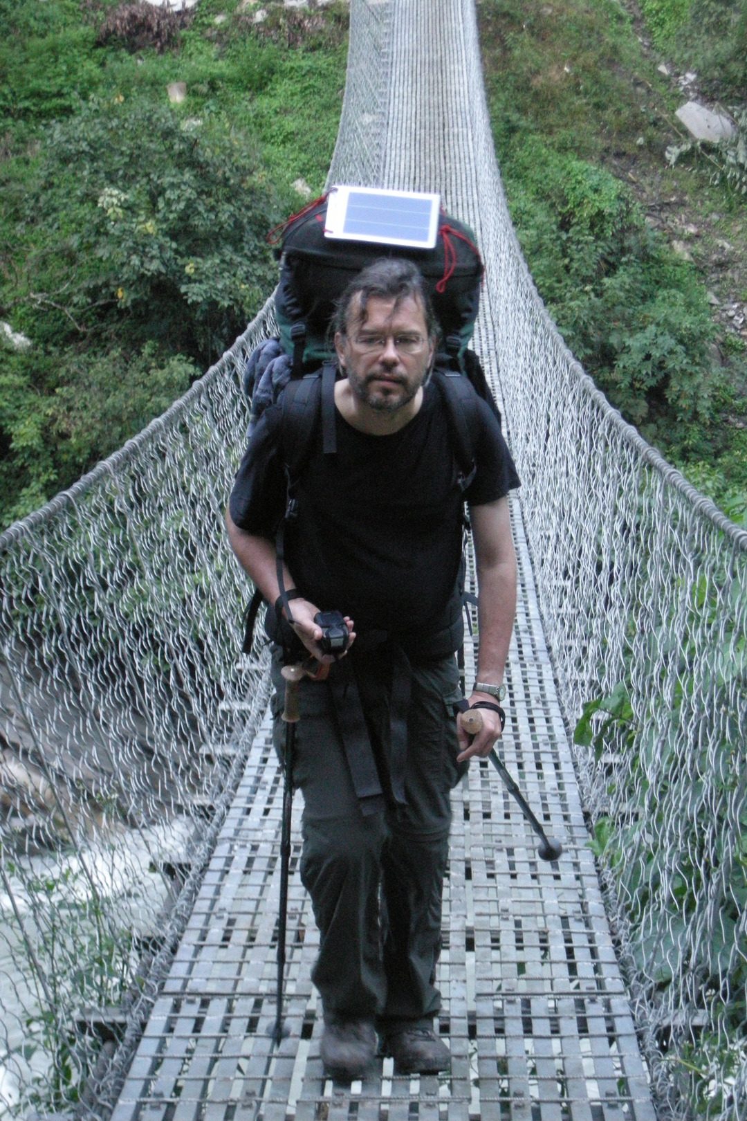
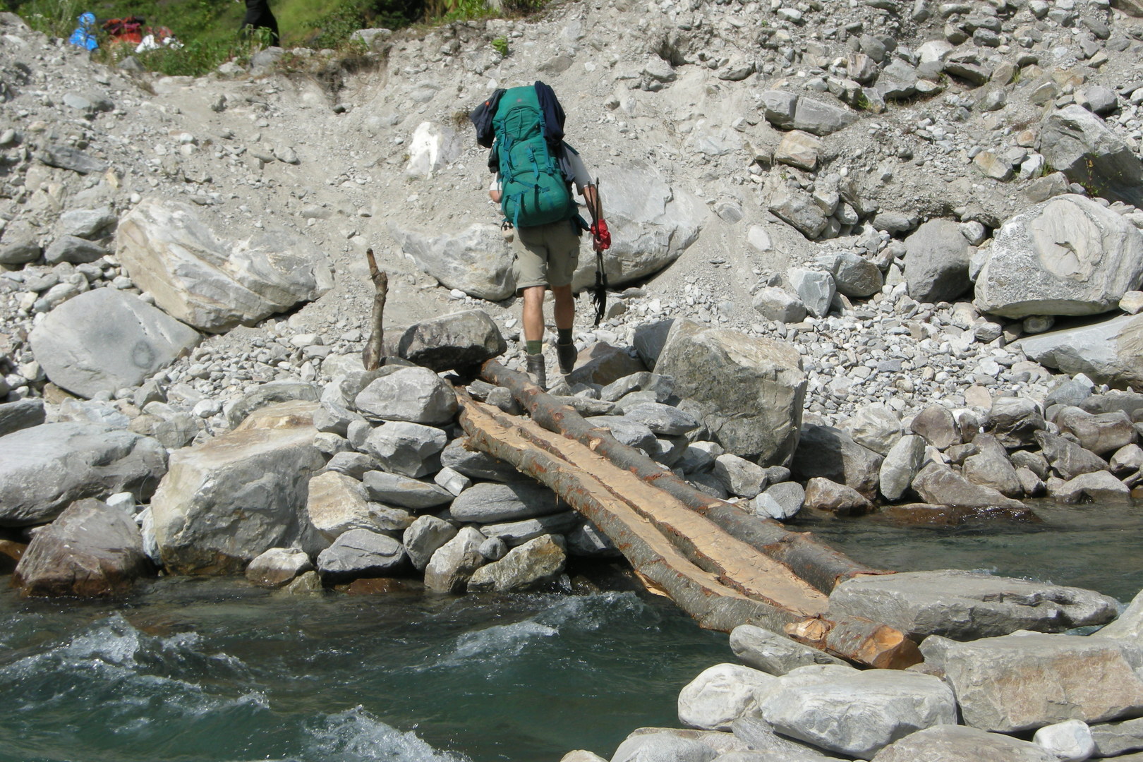
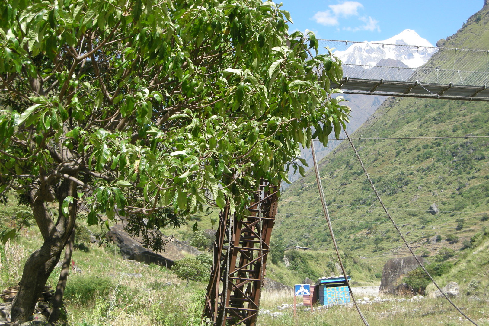
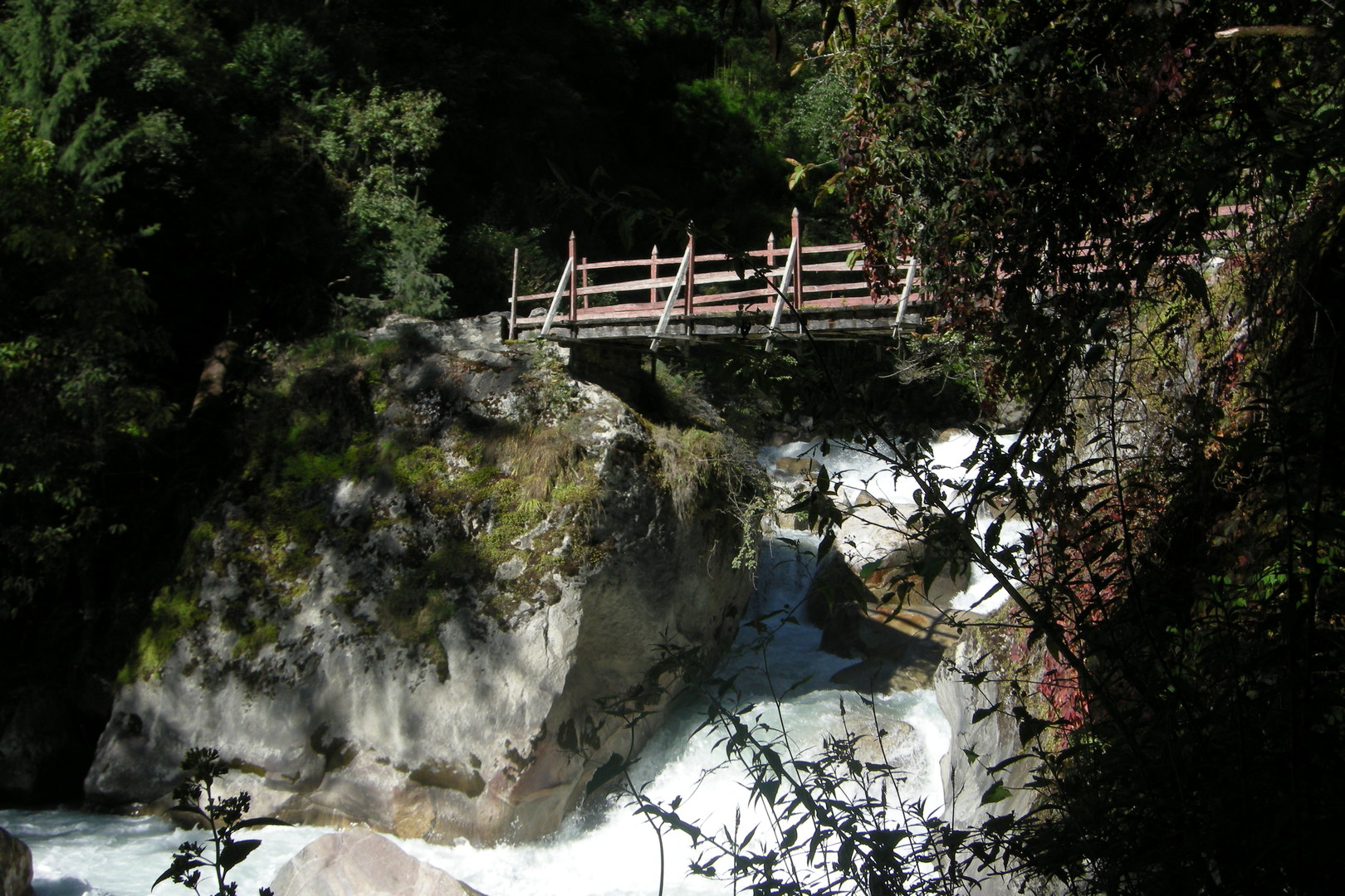
South of Dobhan :: crossing Buddhi Gandaki over one of these new bridges
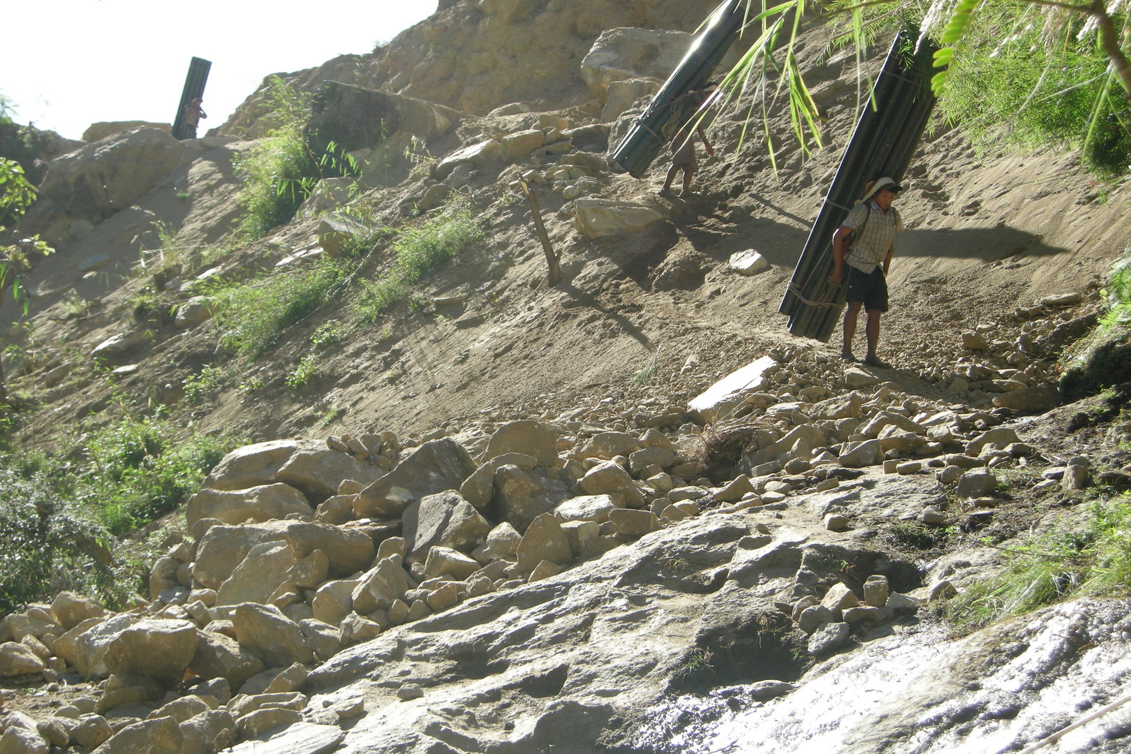
South of Dobhan :: loading the batteries everywhere!
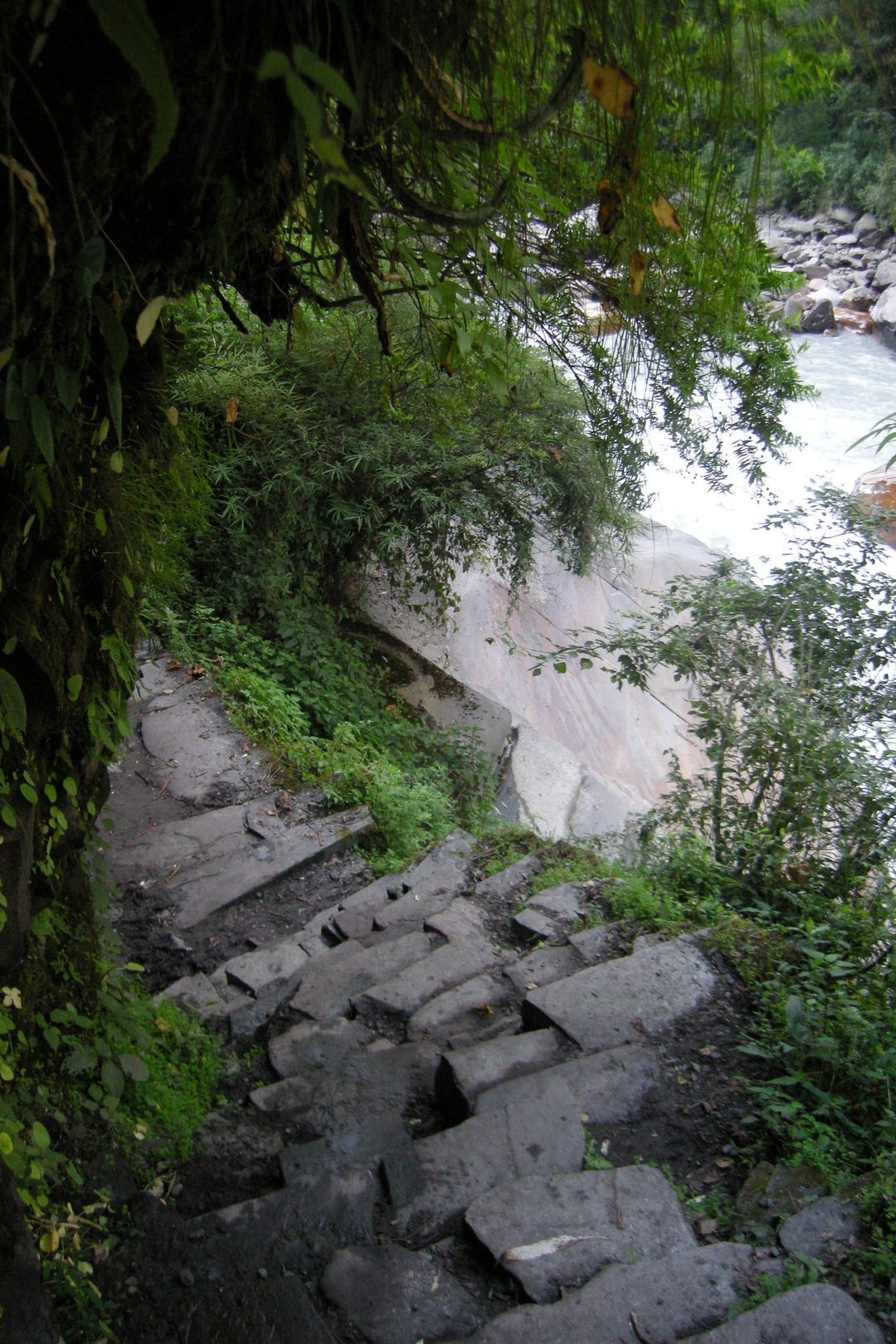
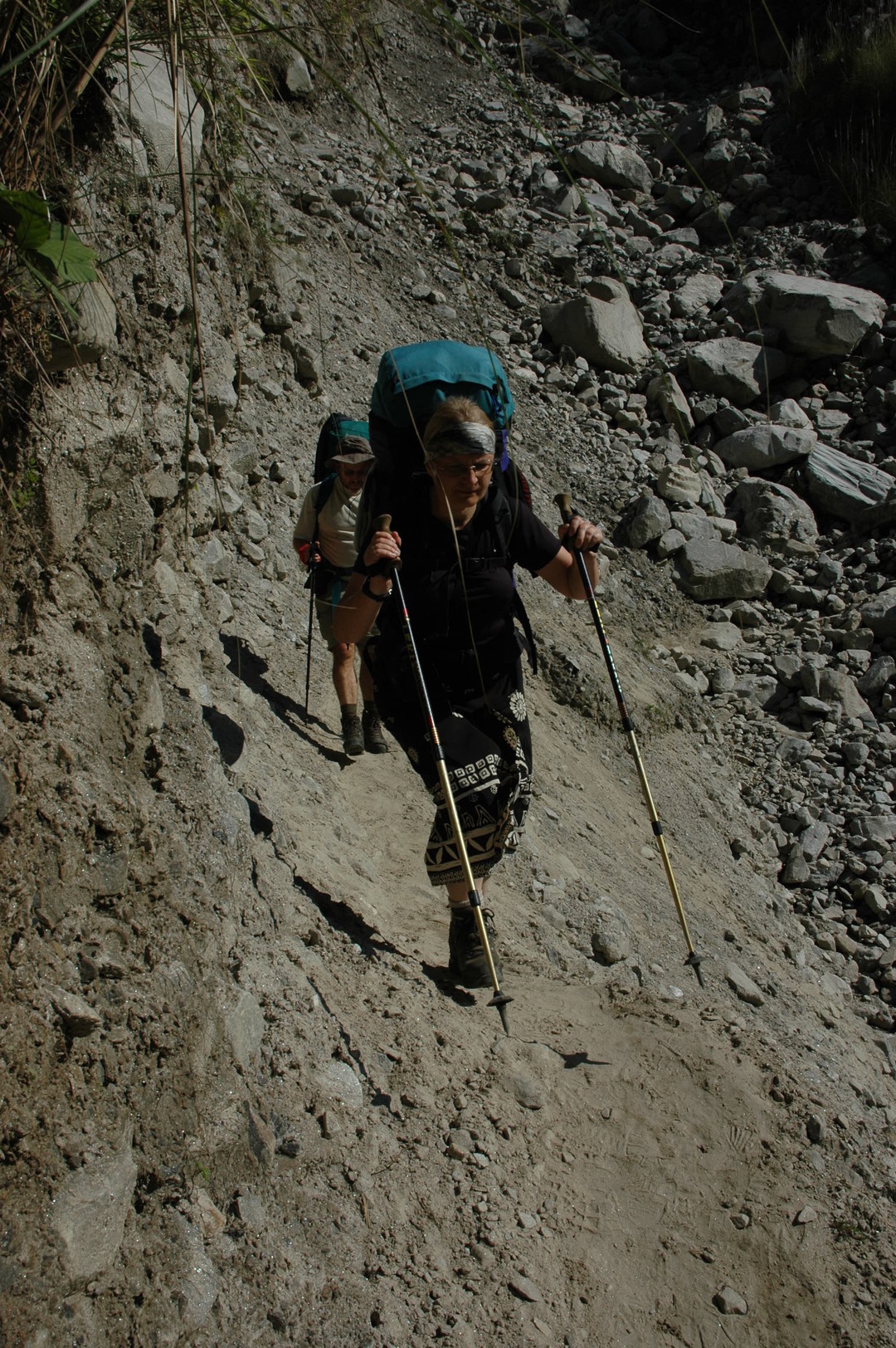
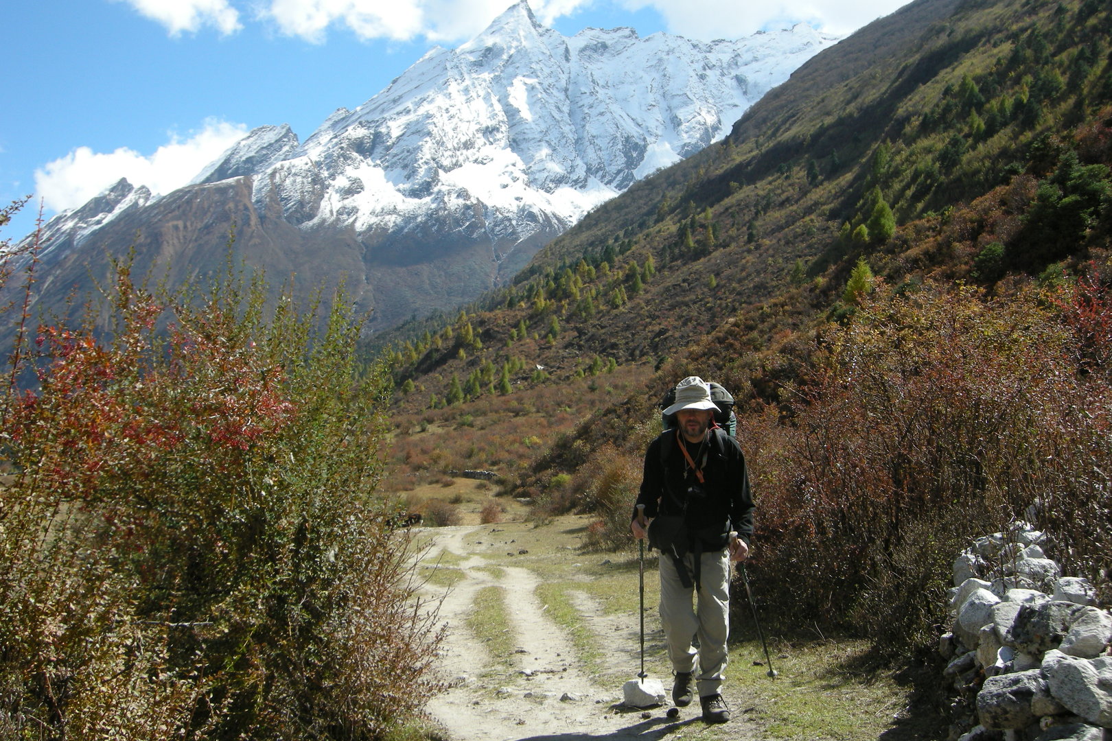
South of Dobhan :: the trail
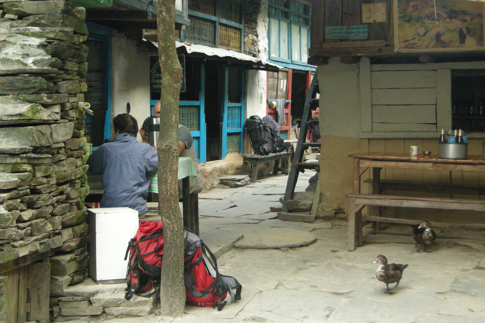
A bhatti before Dobhan :: sorry, girls, it is not always the teatime
Dobhan :: the lodge
Dobhan :: The Dobhan Khola bridge
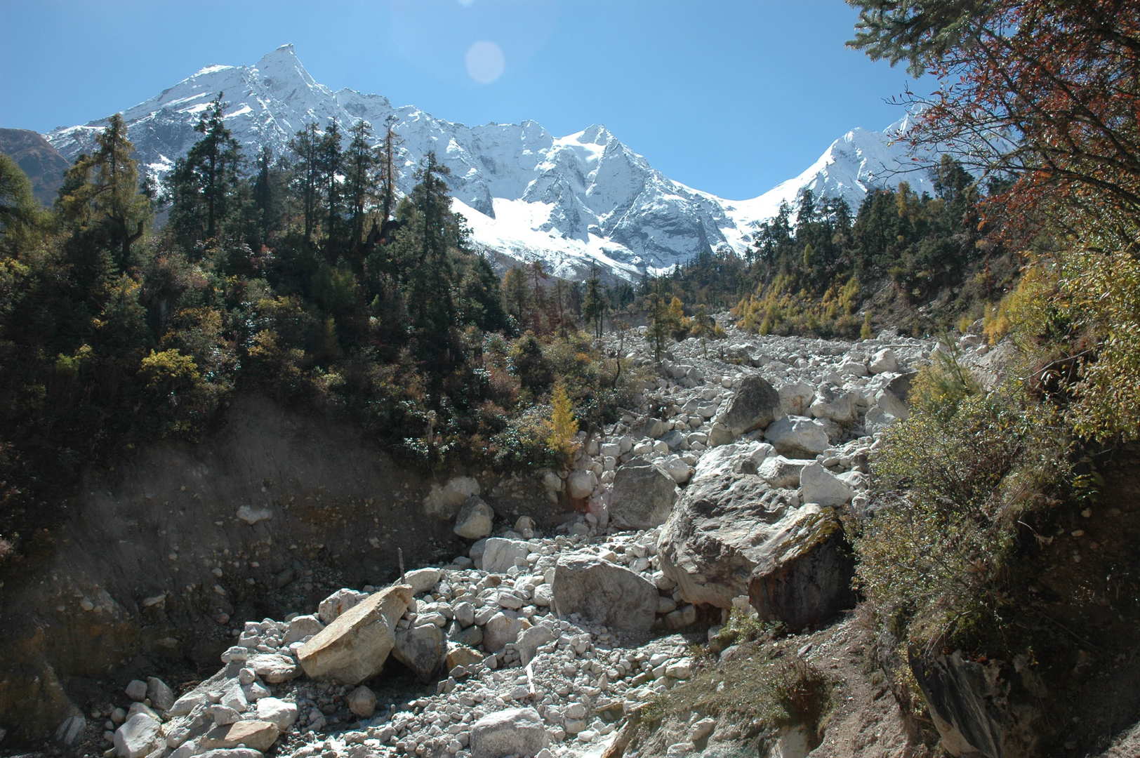
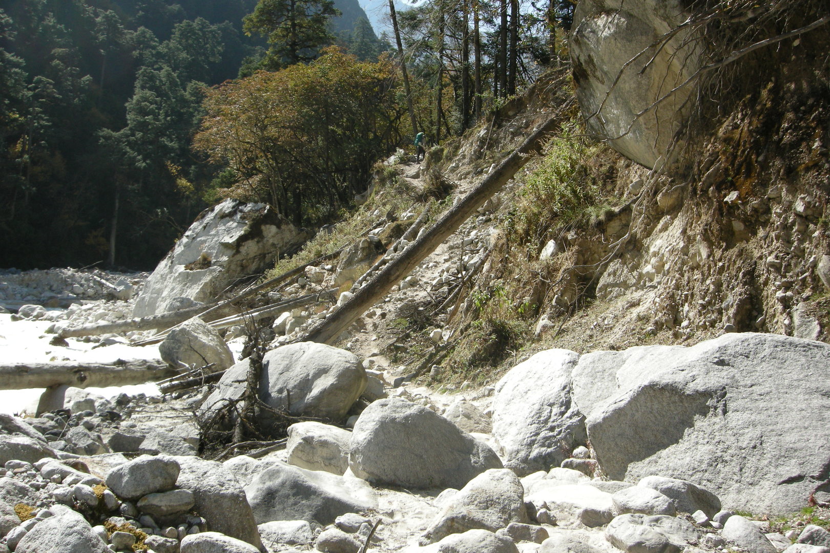
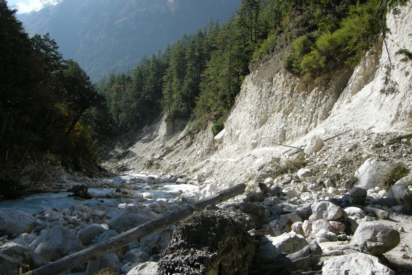
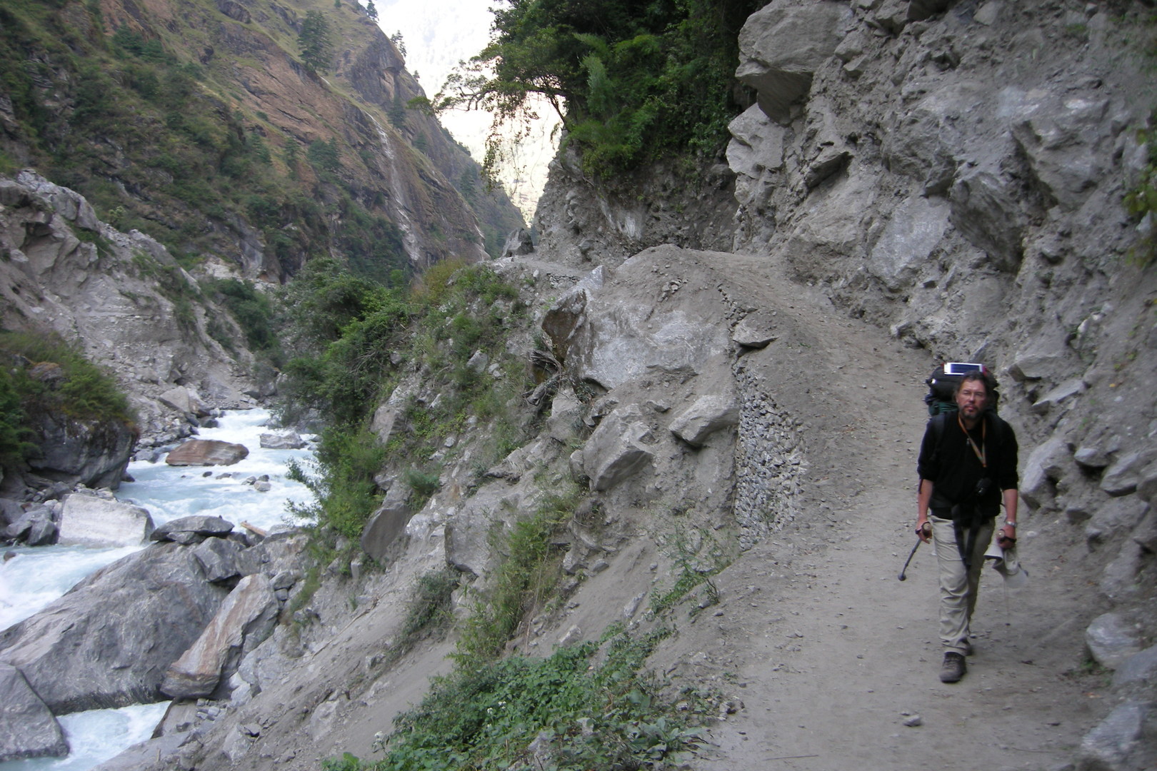
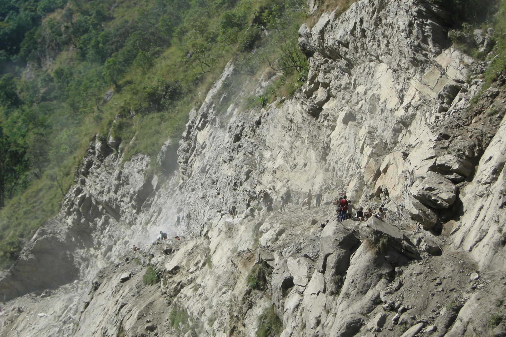
North of Dobhan :: crossing one of these landslides
By Indur
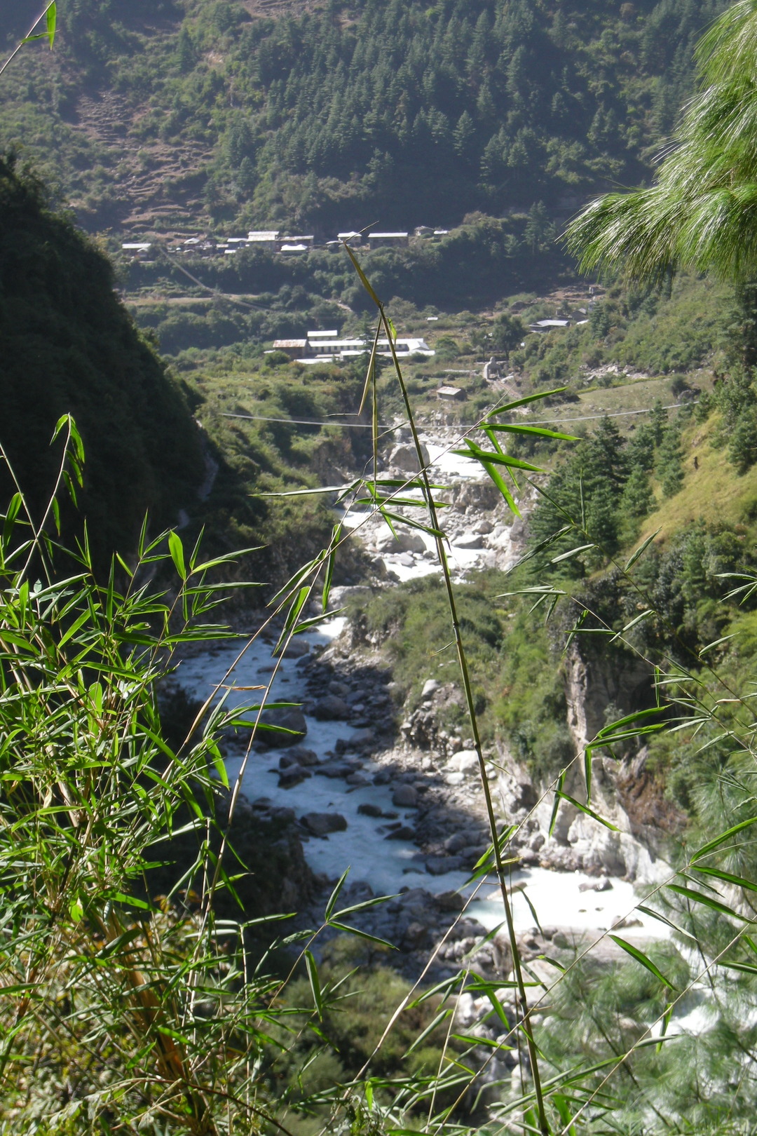
Reaching the Budhi Gandaki and the Yaru Khola confluence
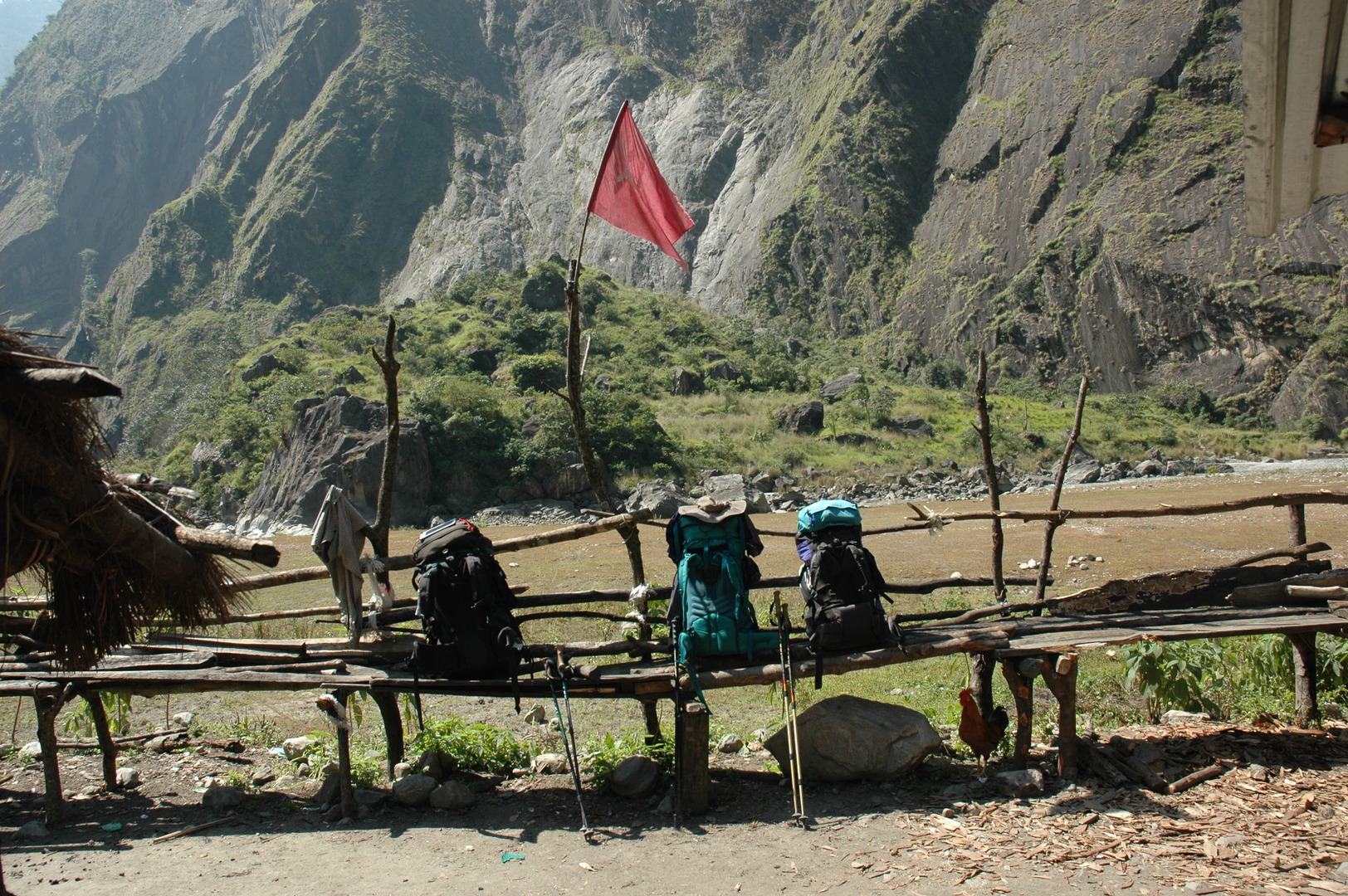
Yaru Khola :: resting under The Red Flag
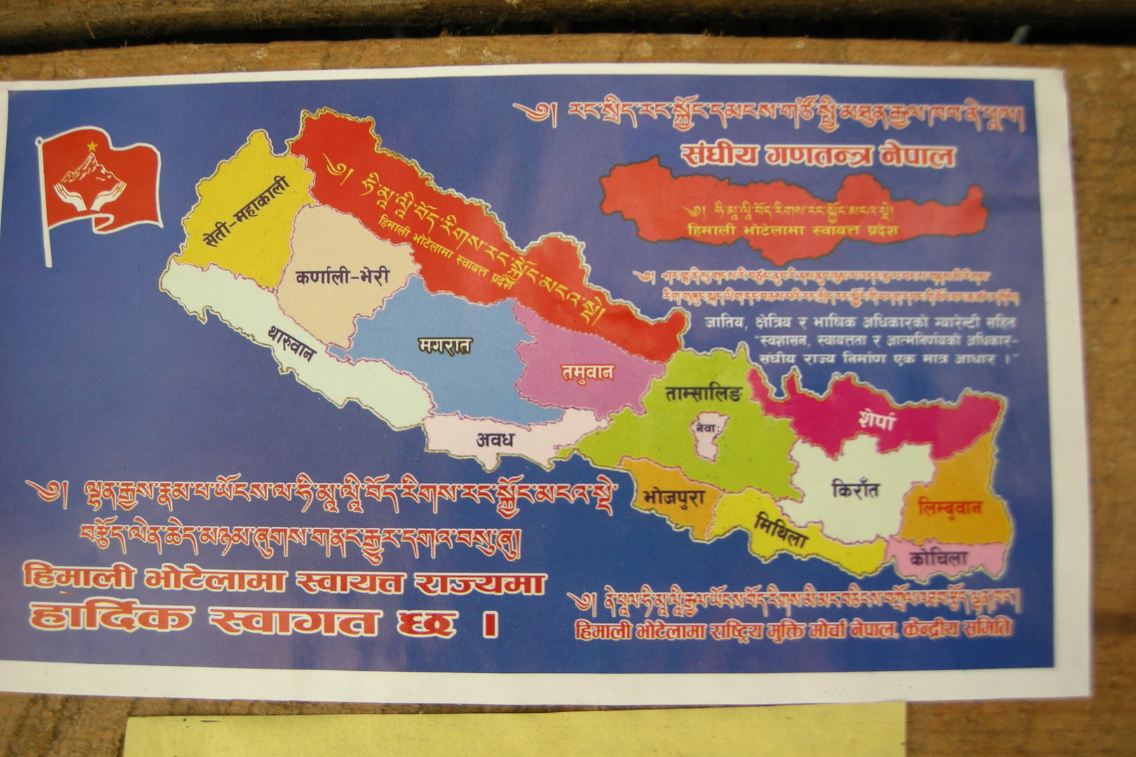
Yaru Khola :: political agitations
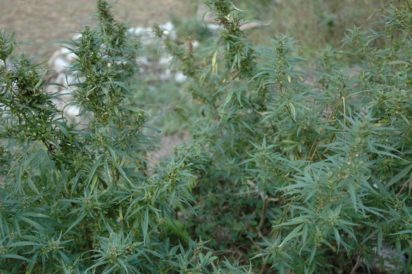
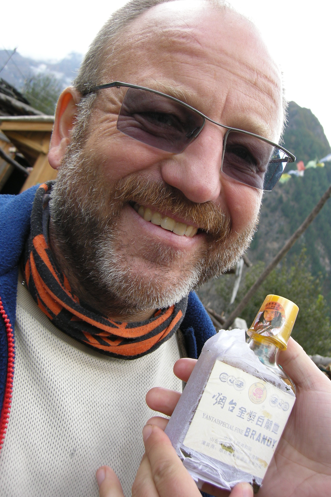
Yaru Khola :: the flame of the revolution :: producing rakshi
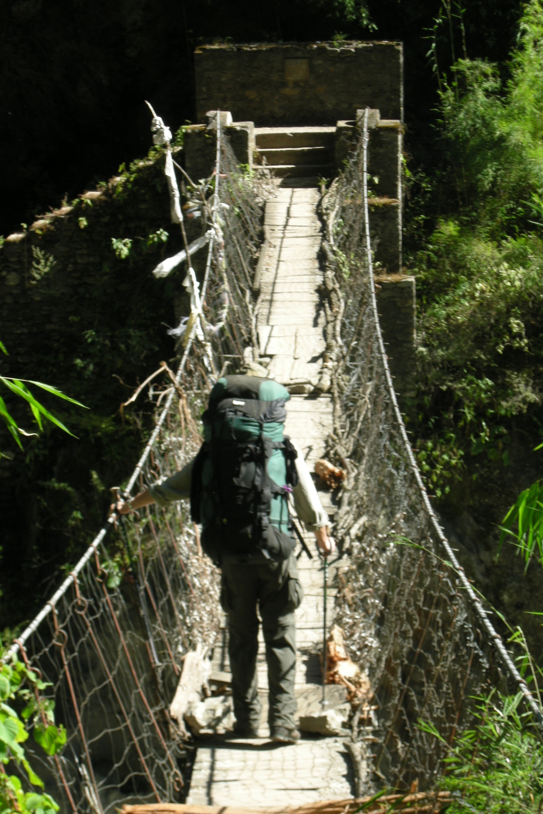
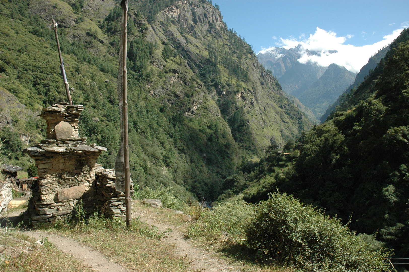
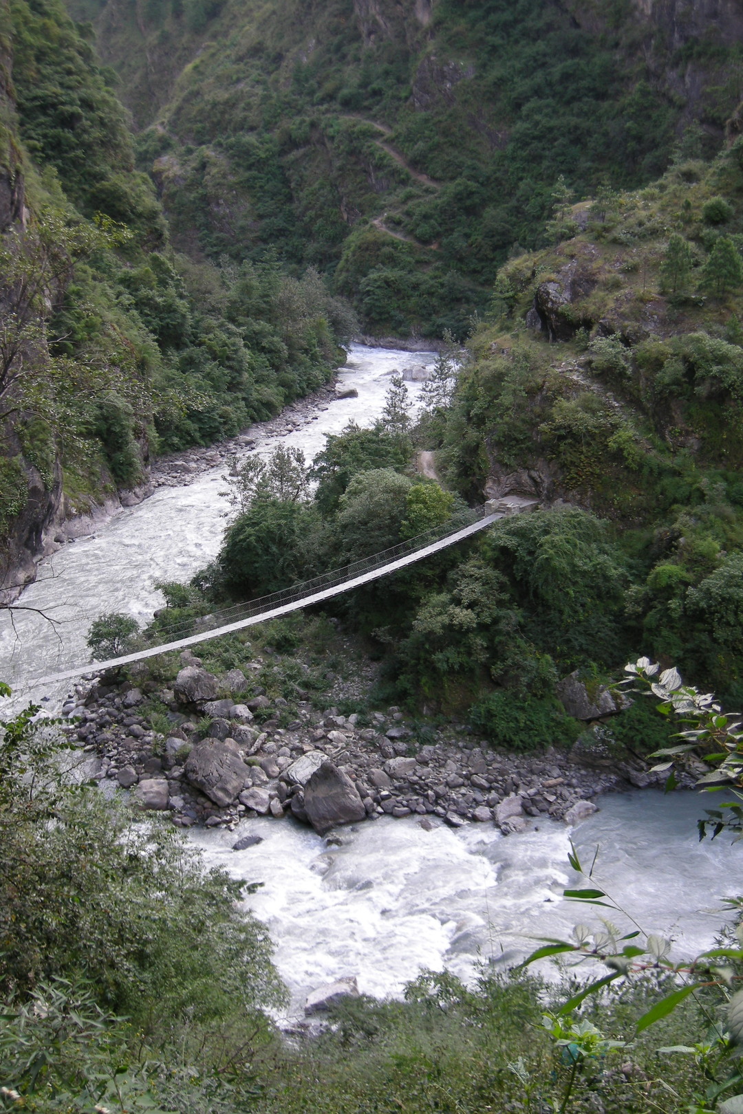
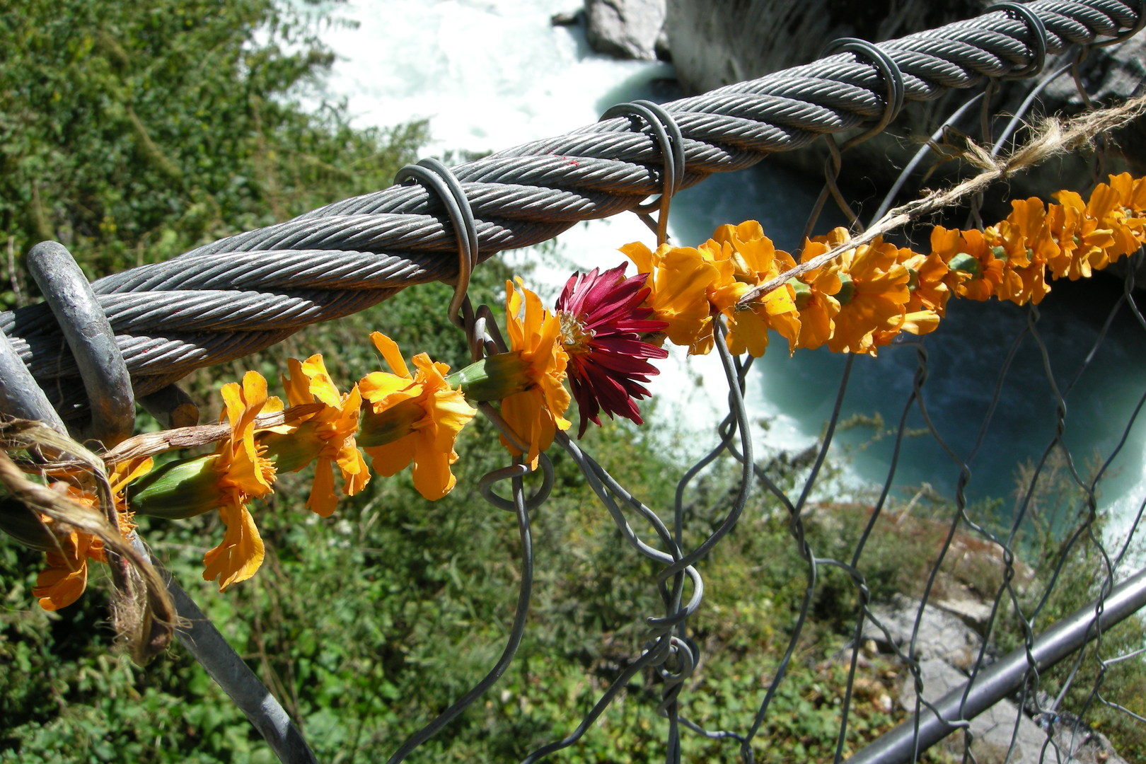
The Yaru Khola outflow :: crossing below the proper bridge
By Lhakpa :: back to the right bank
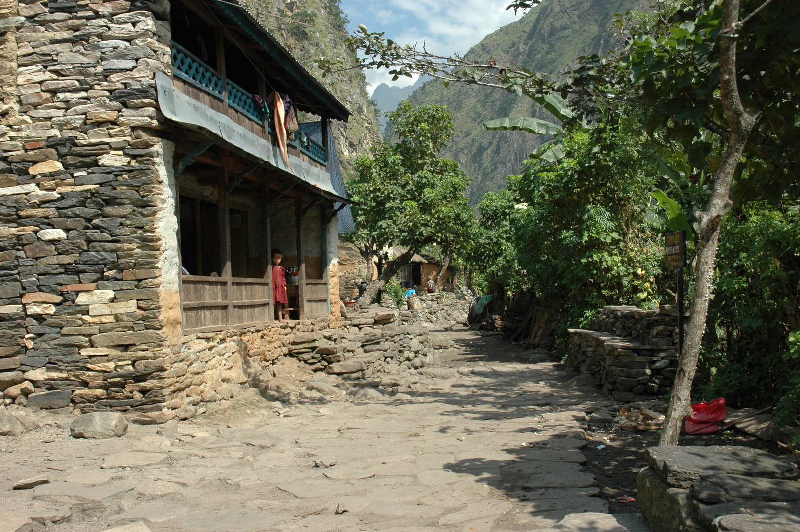
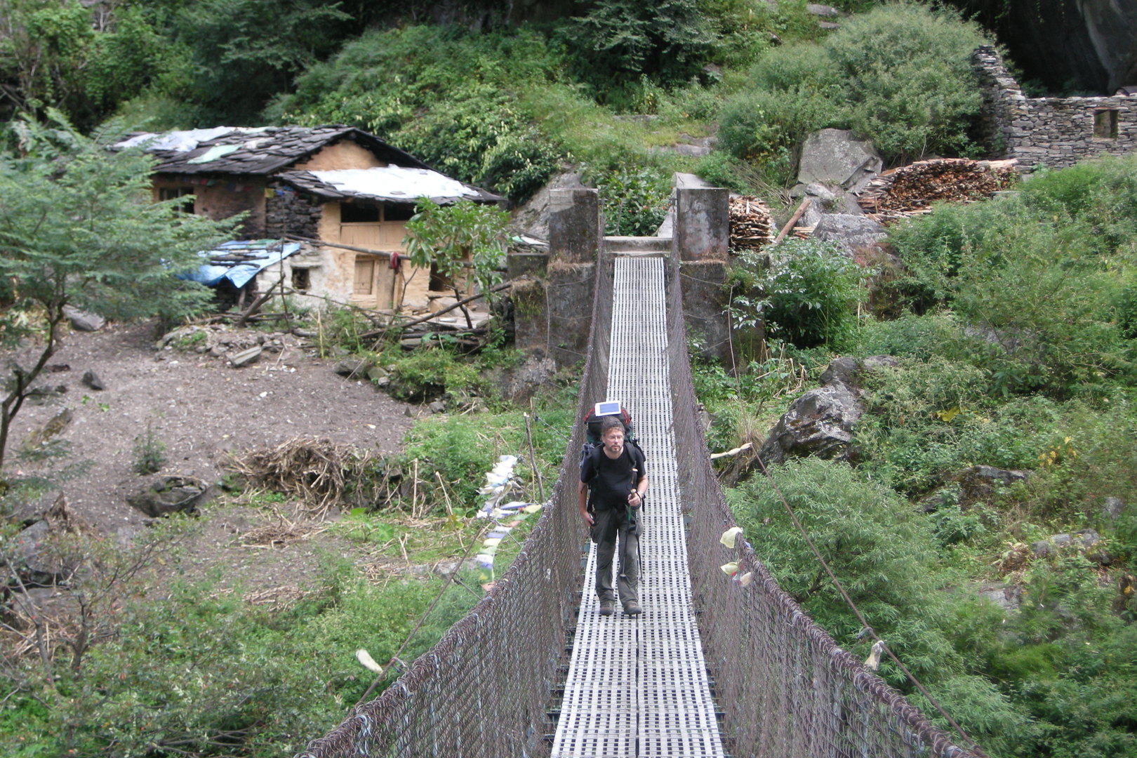
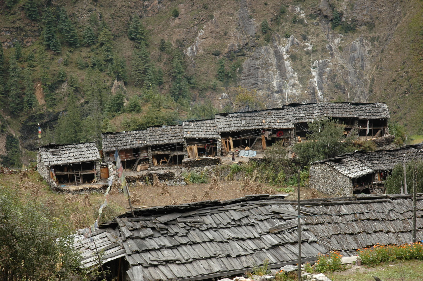
By Lhakpa :: Jagat in sight
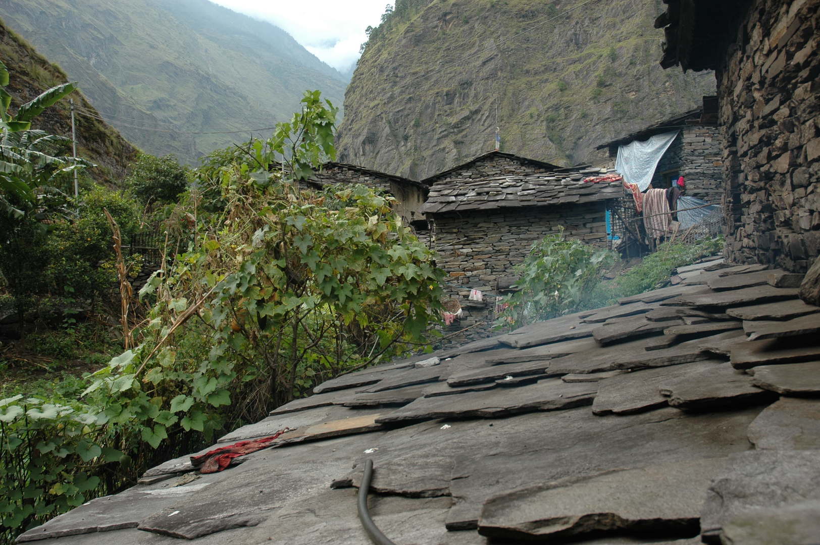
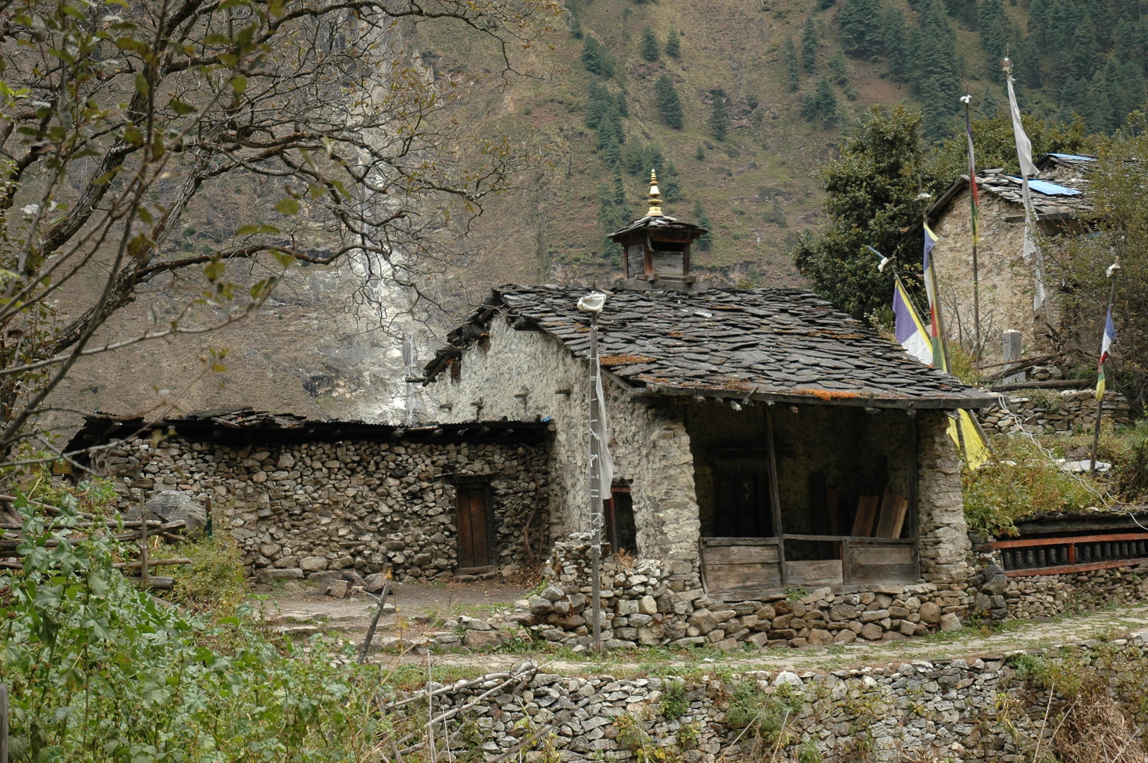
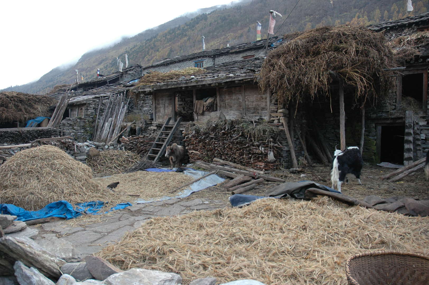
Jagat :: roofs and backyards
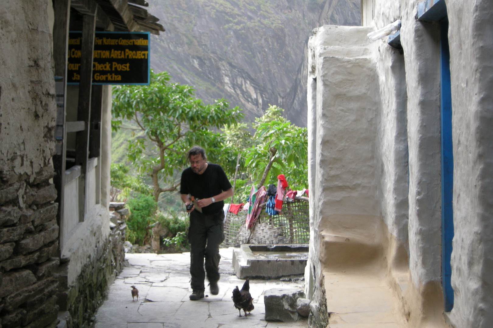
Jagat :: MCAP checkpost :: checkpointed
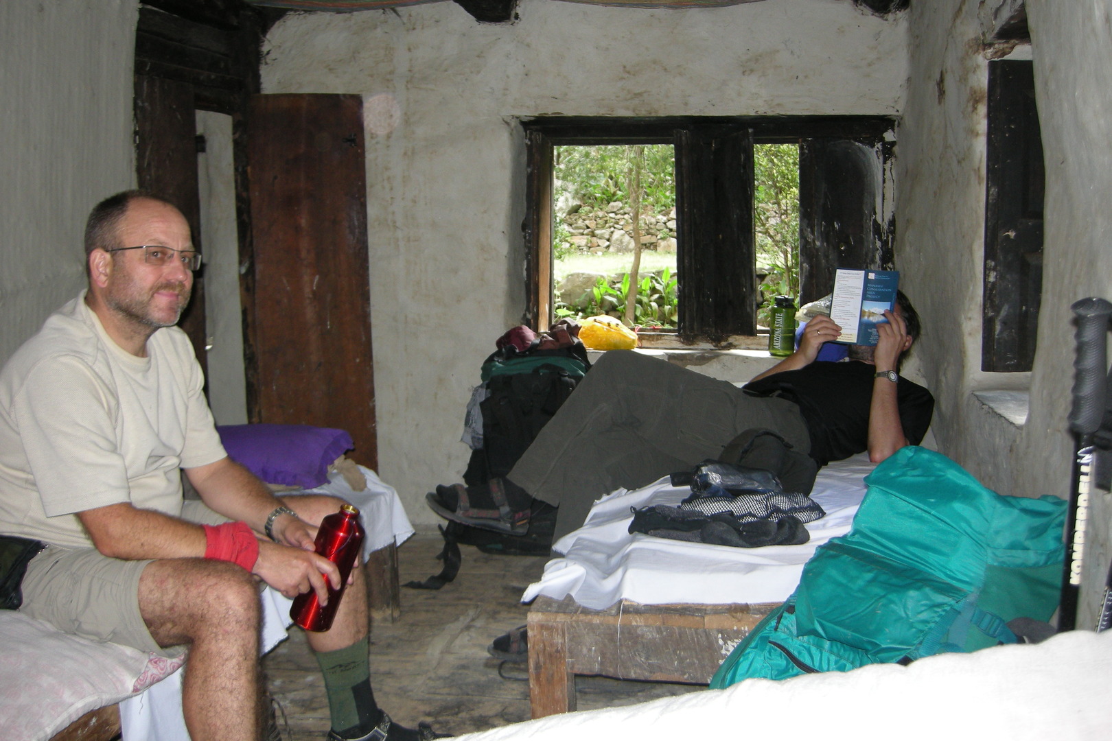
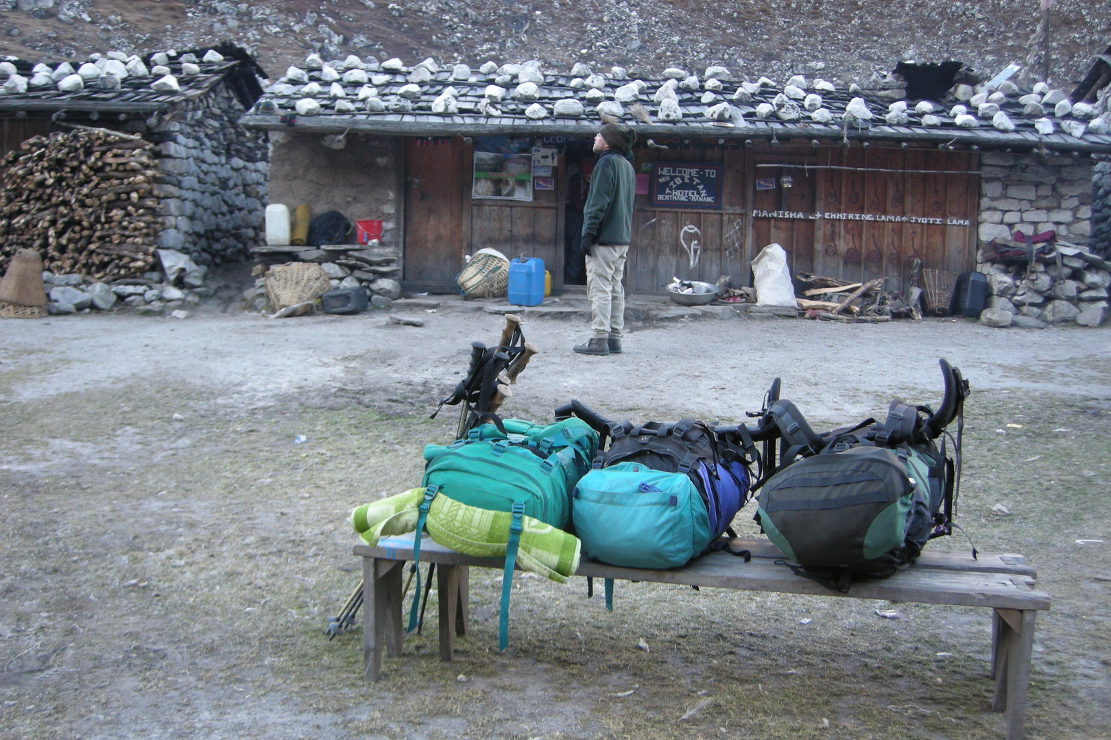
Jagat :: all lodge suite comforts
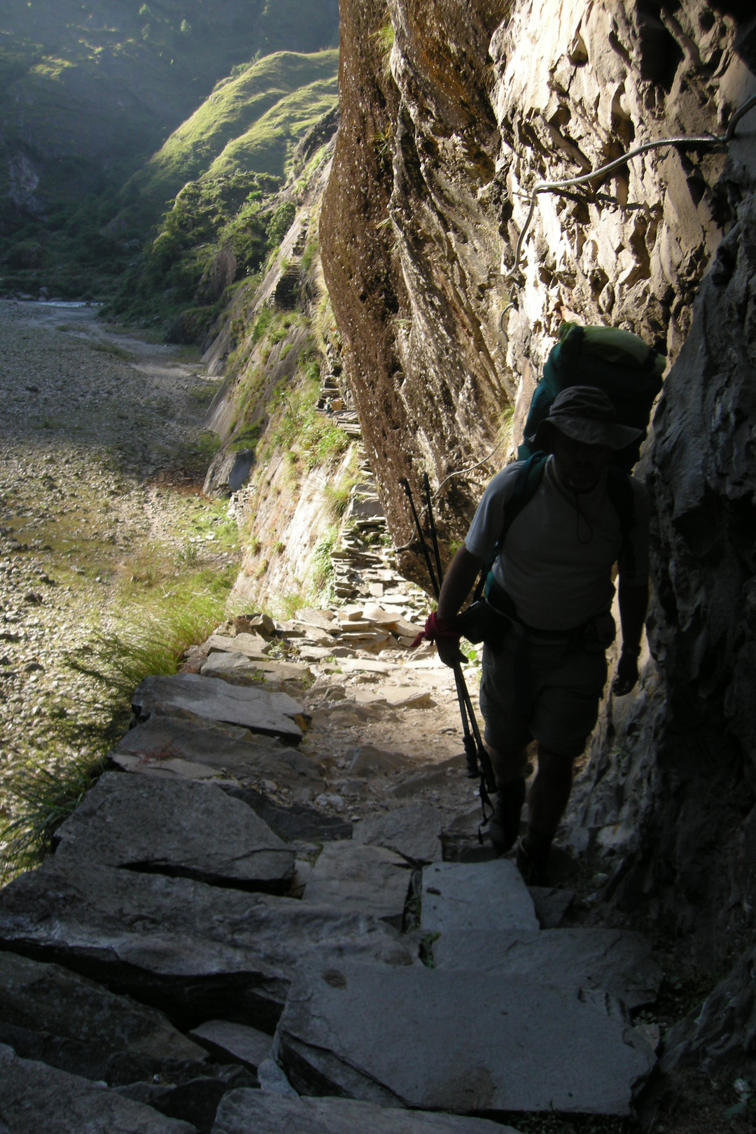
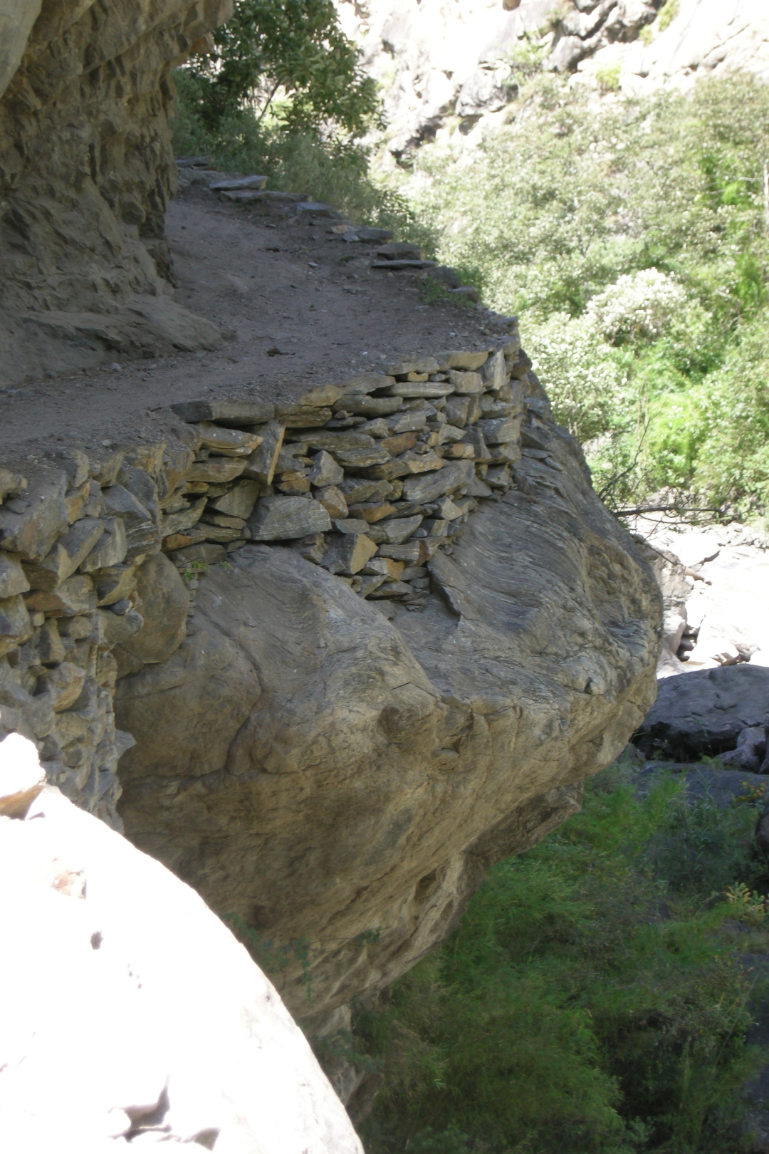
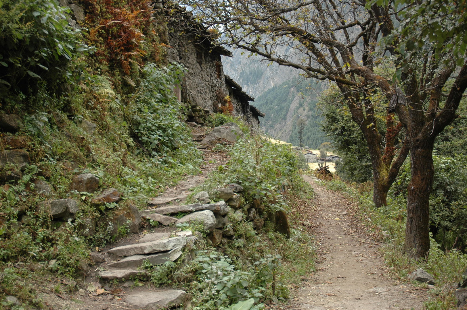
North of Jagat :: on a high trail
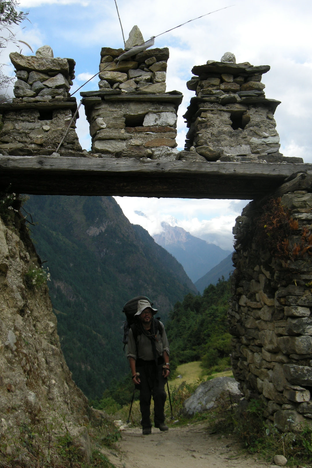
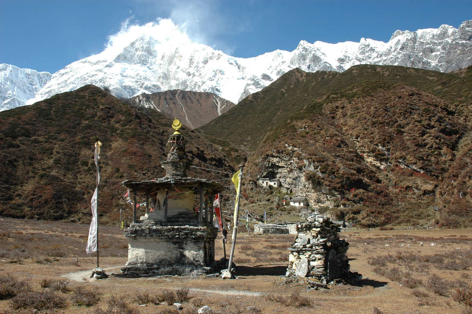
Salleri :: chorten
Salleri :: chautaraa
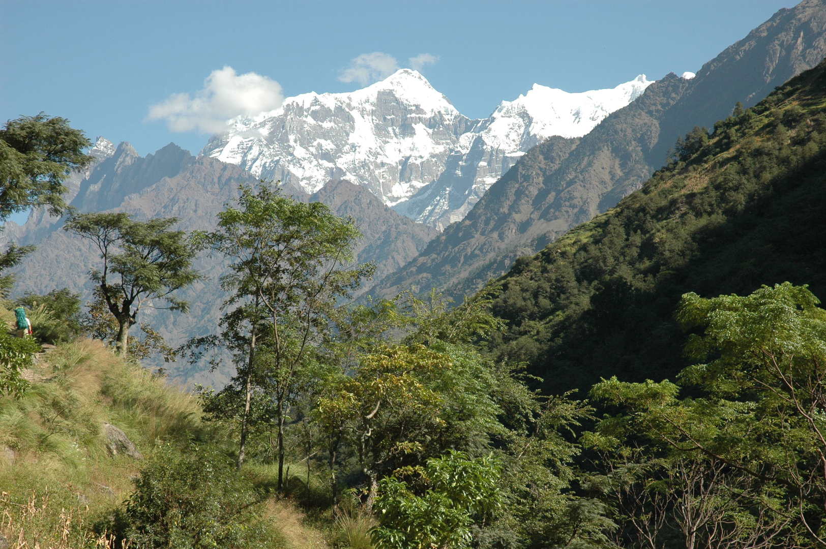
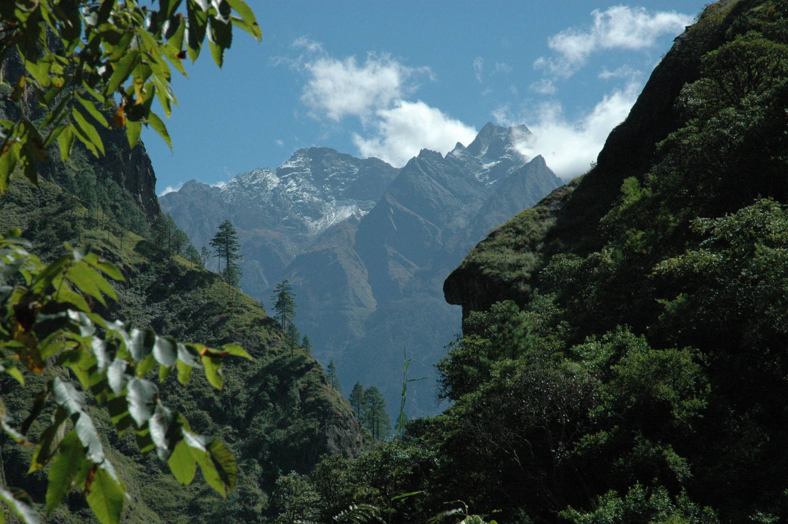
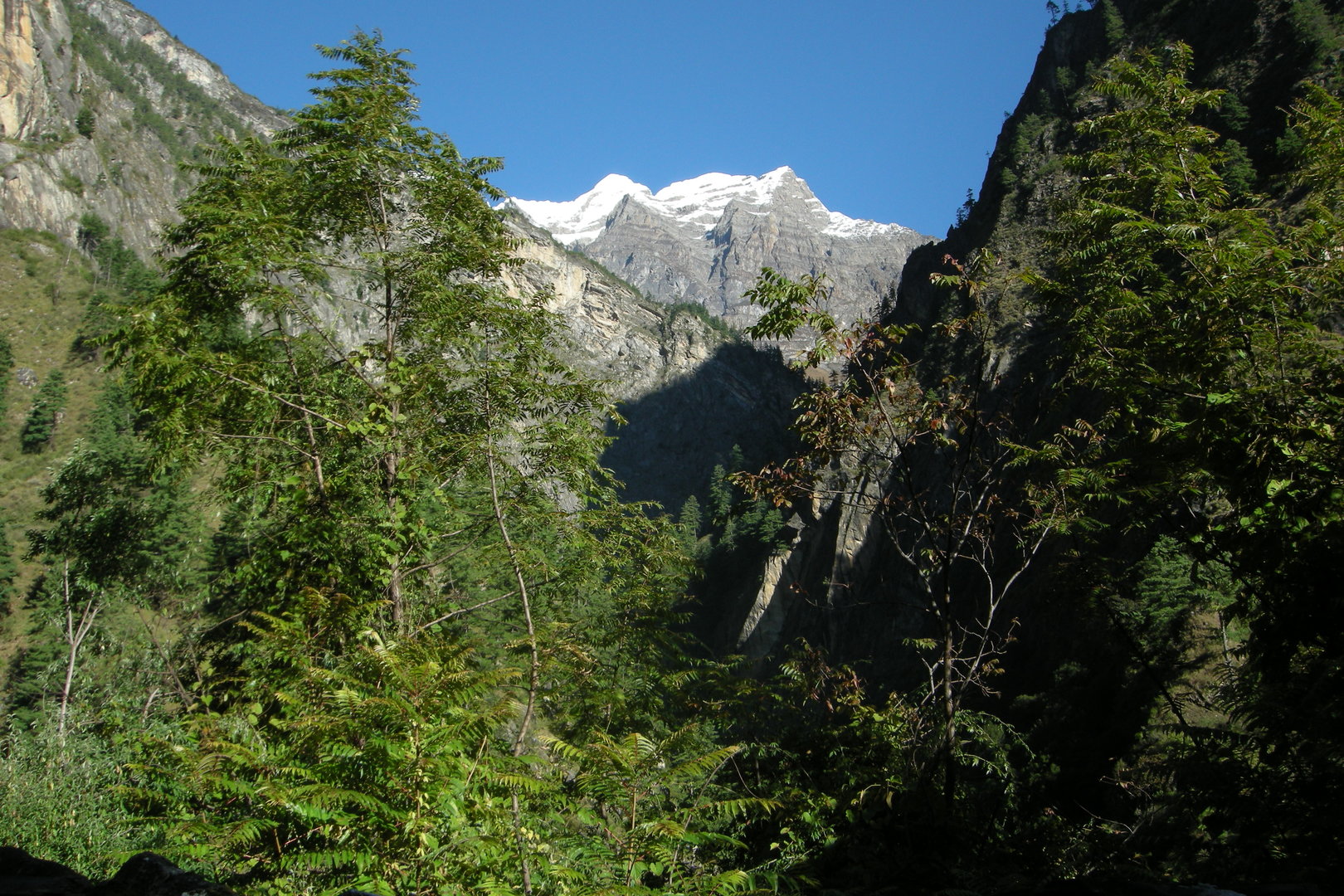
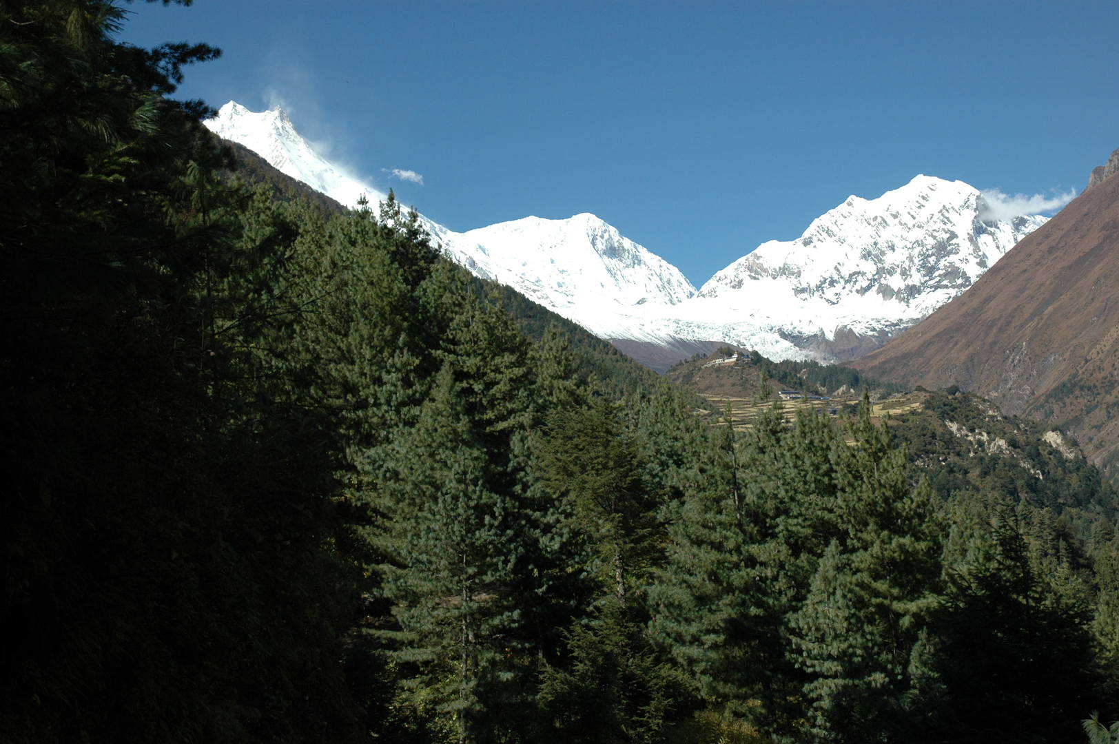
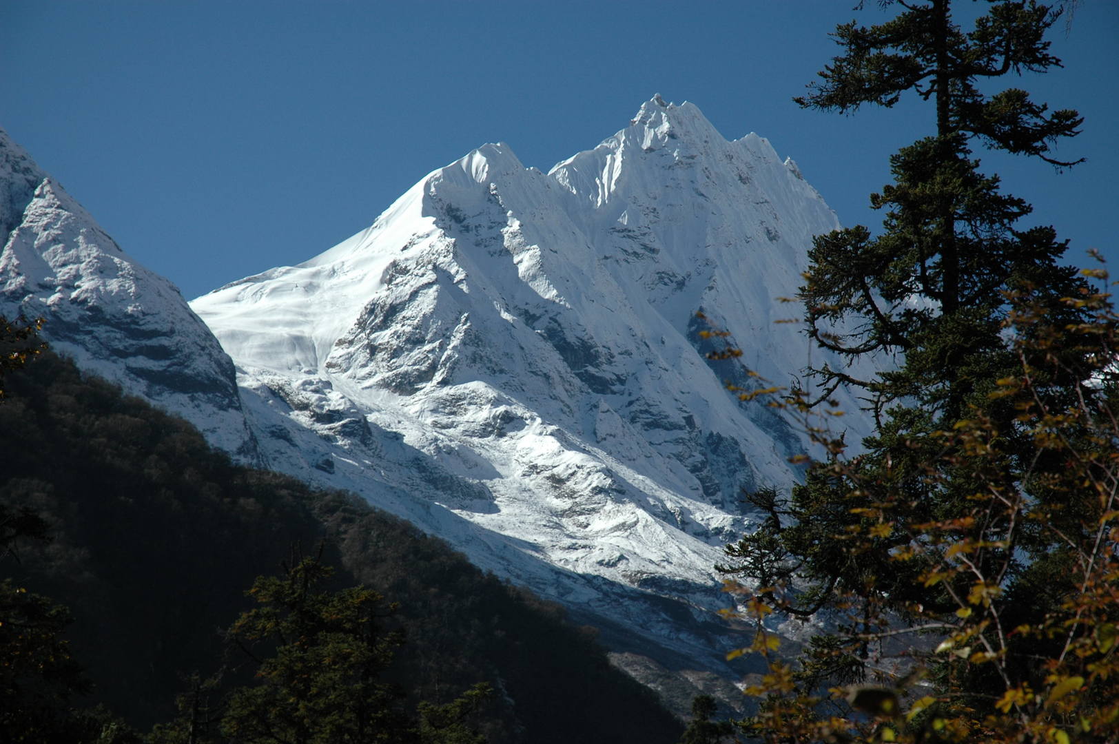
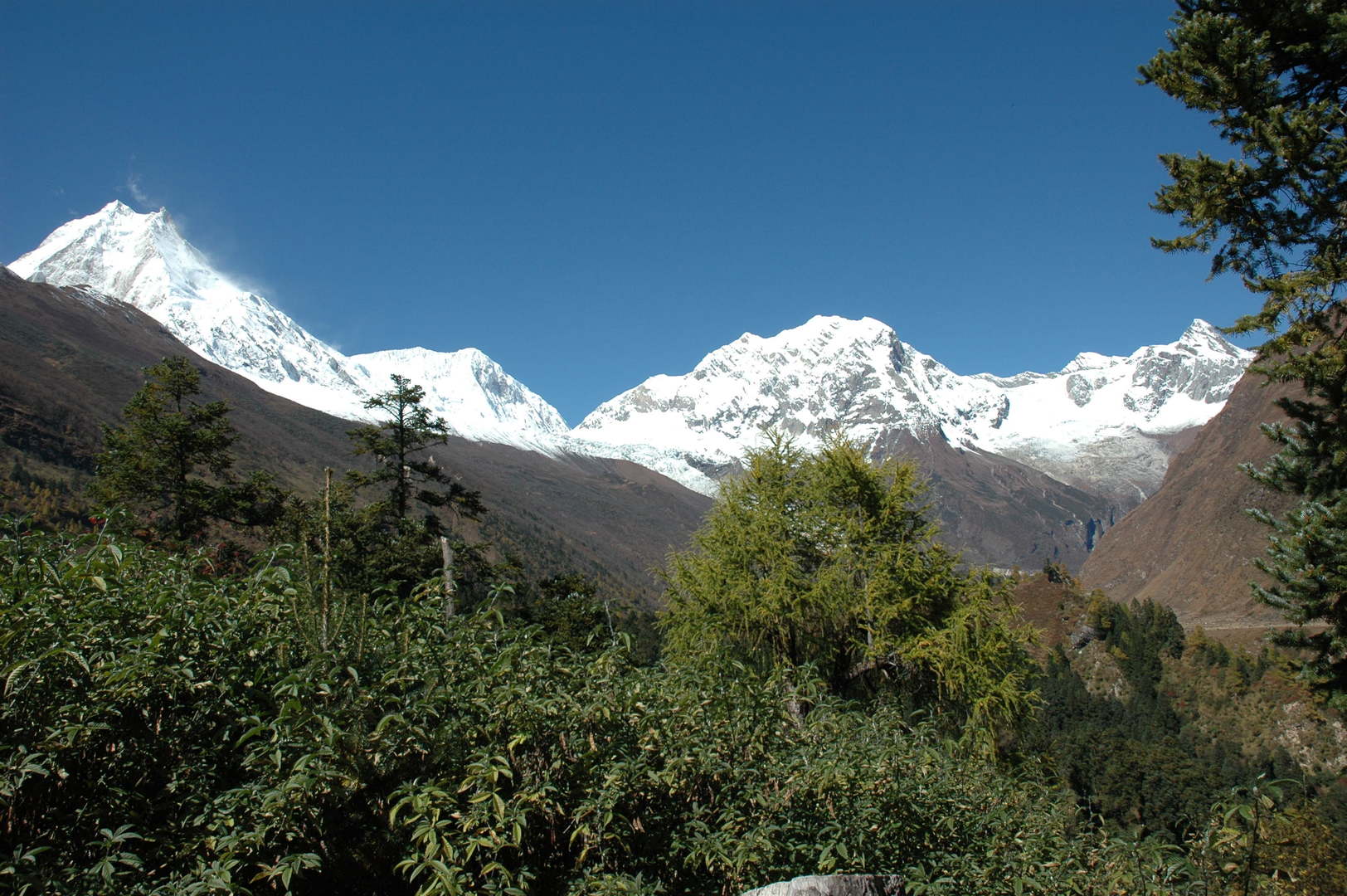
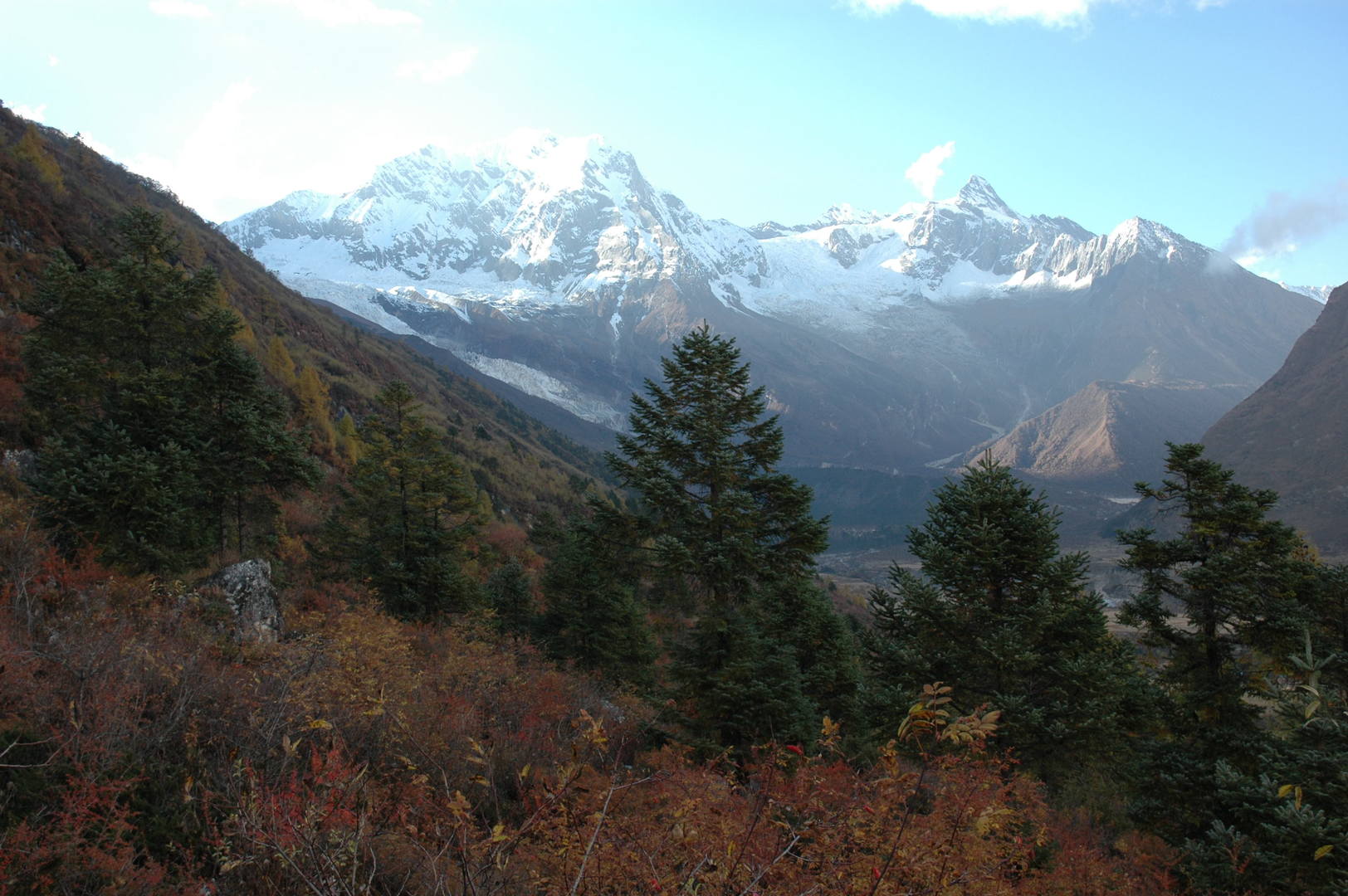
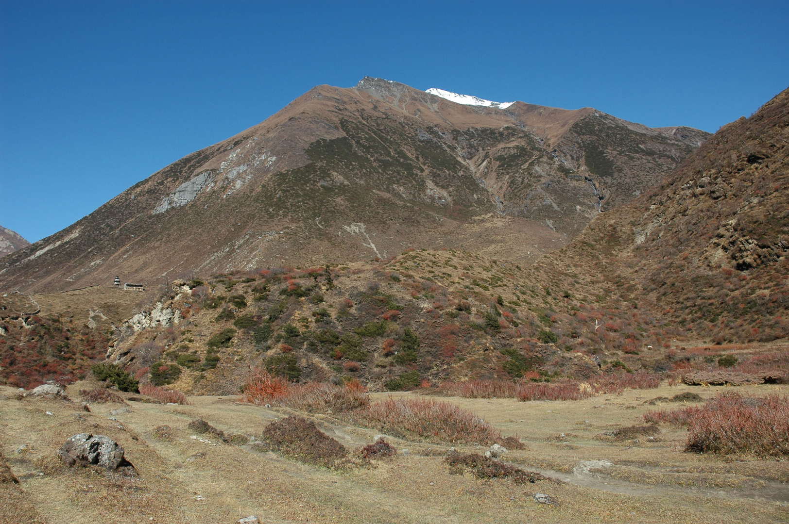
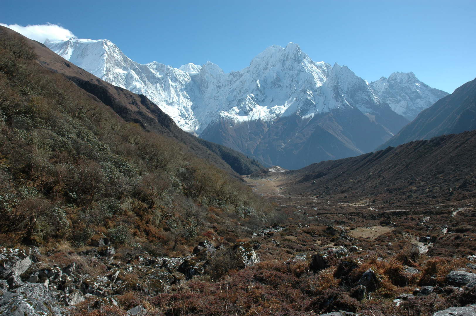
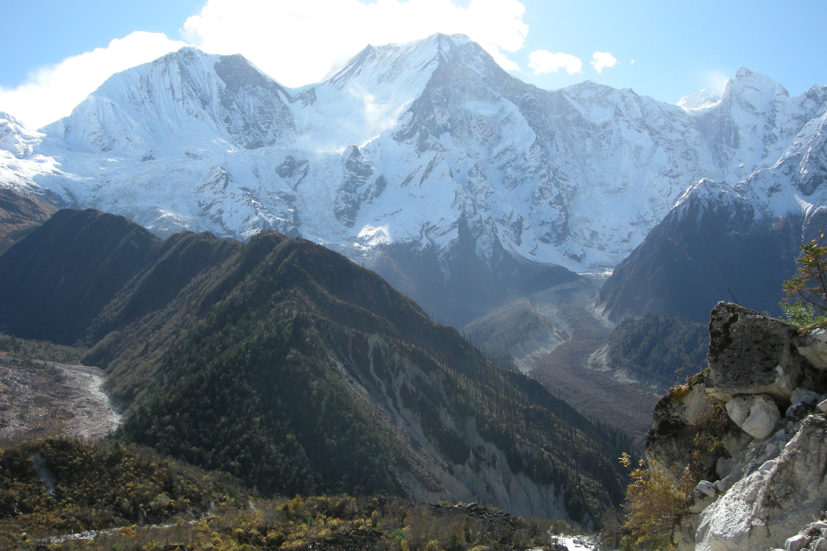
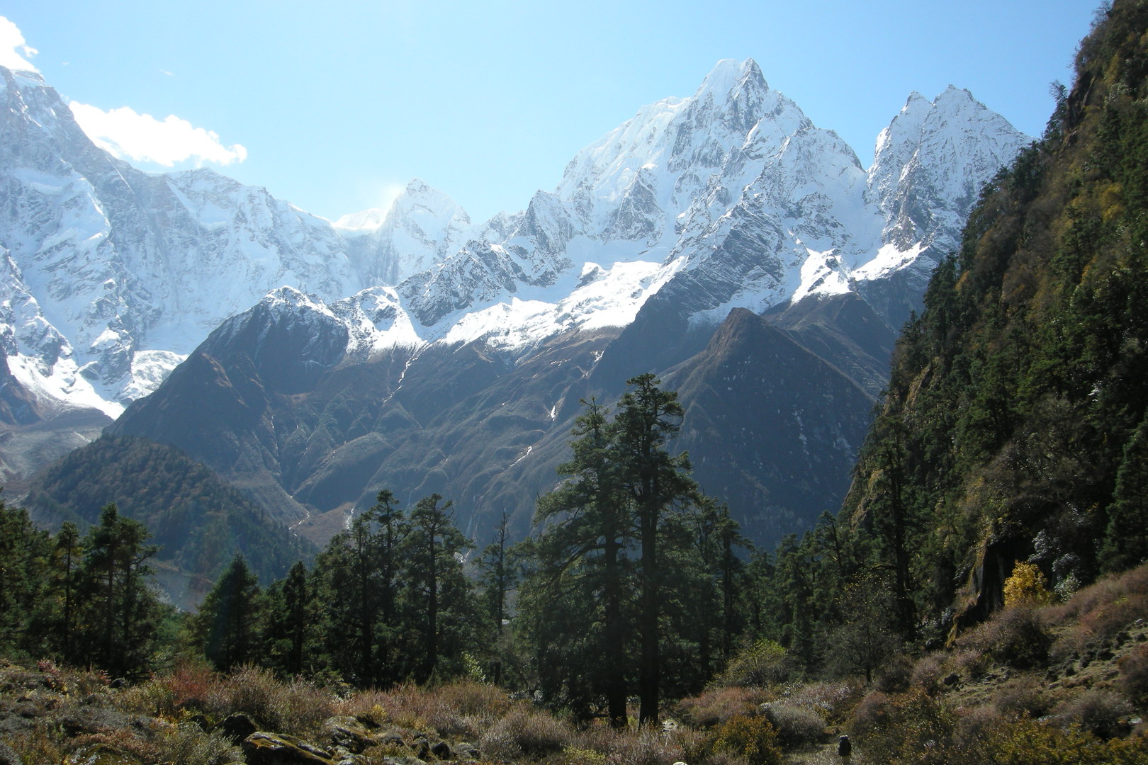
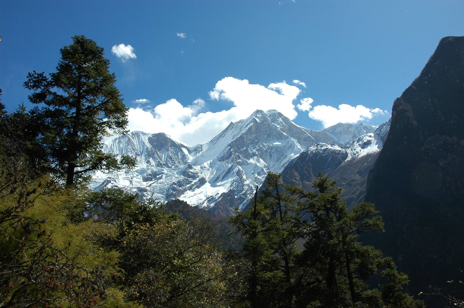
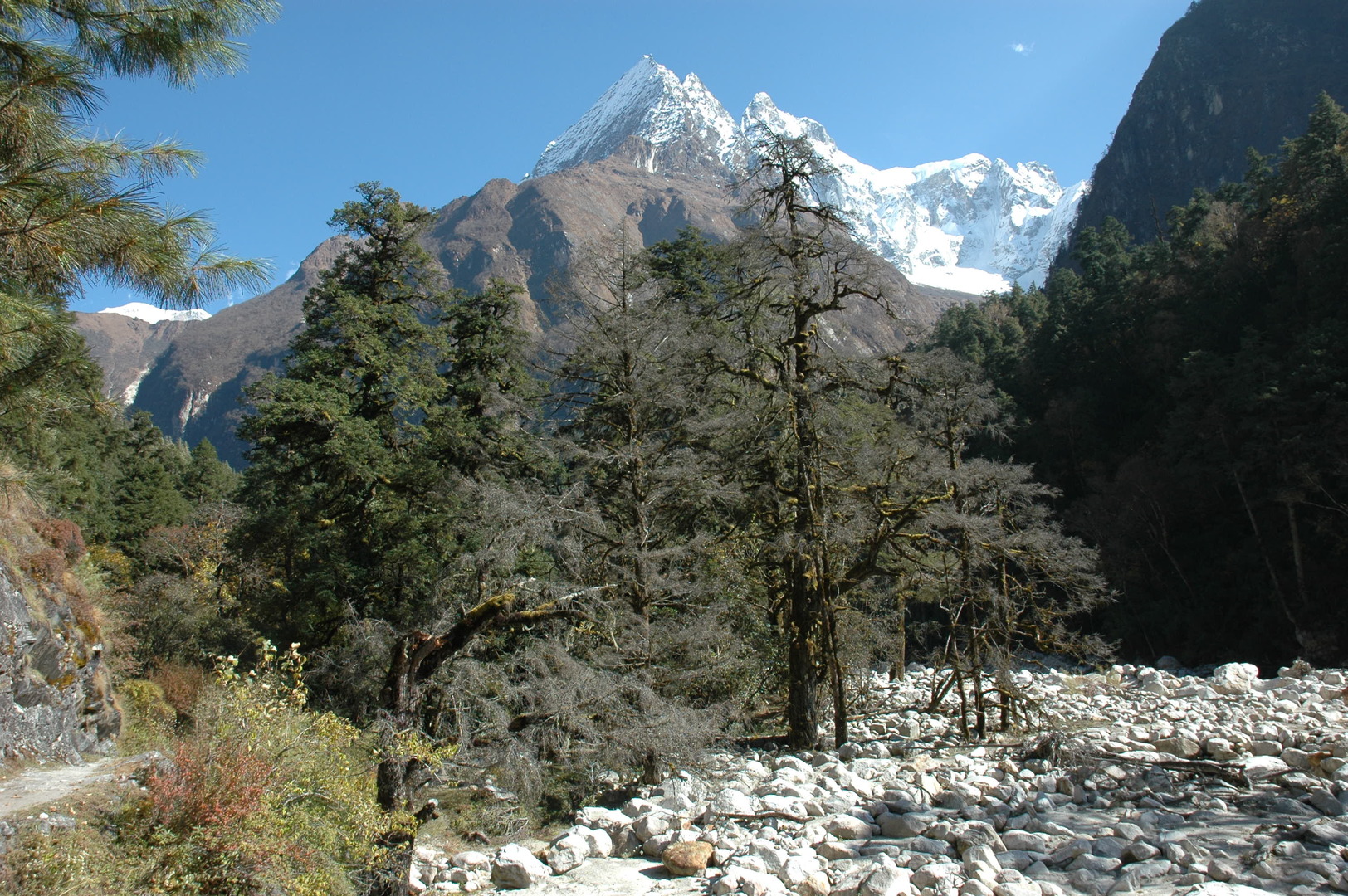
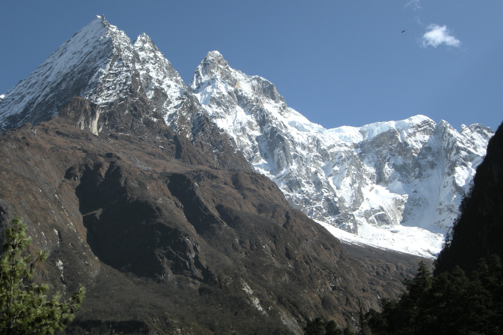
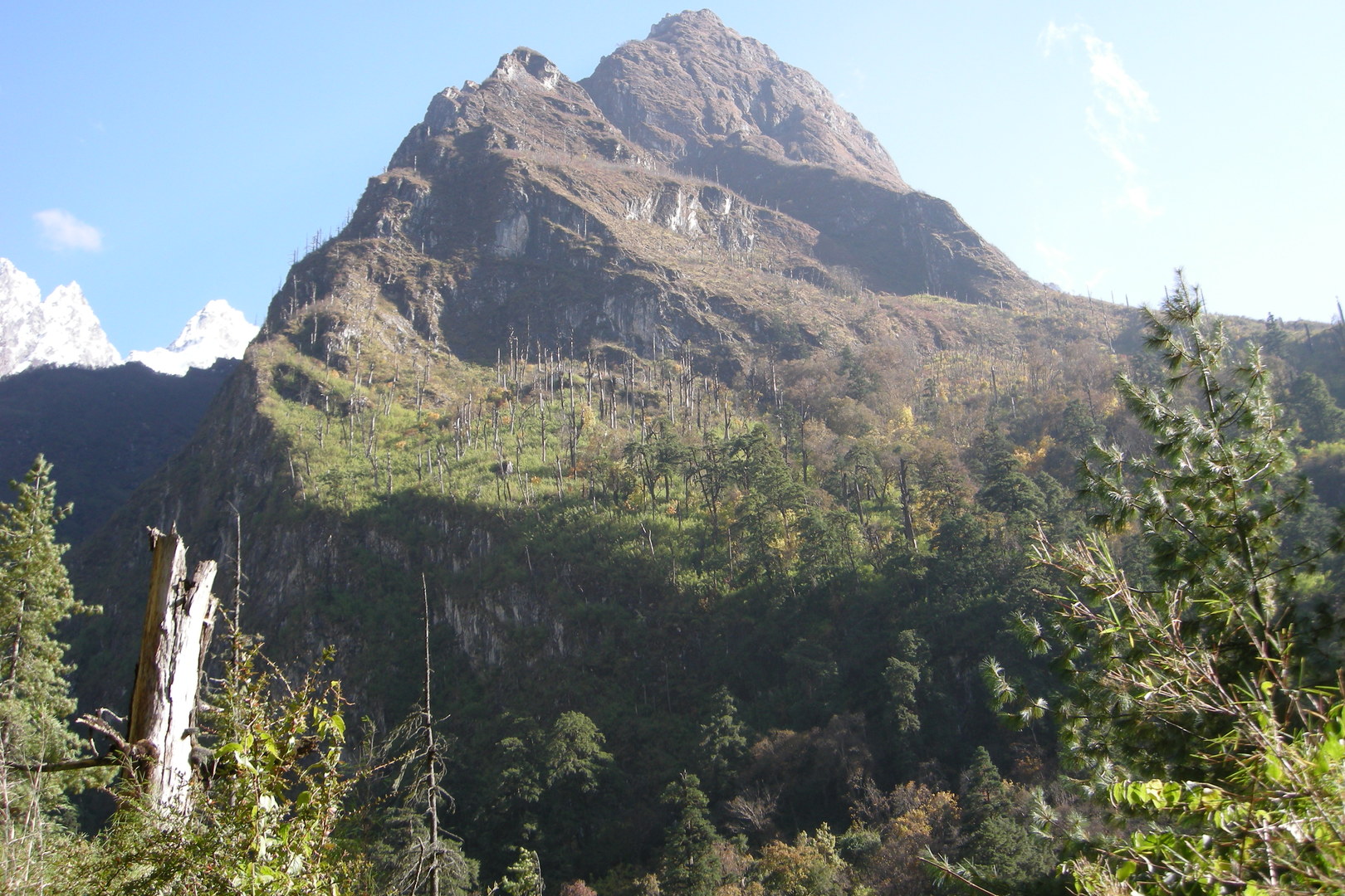
By Paimo :: Sringi Himal views
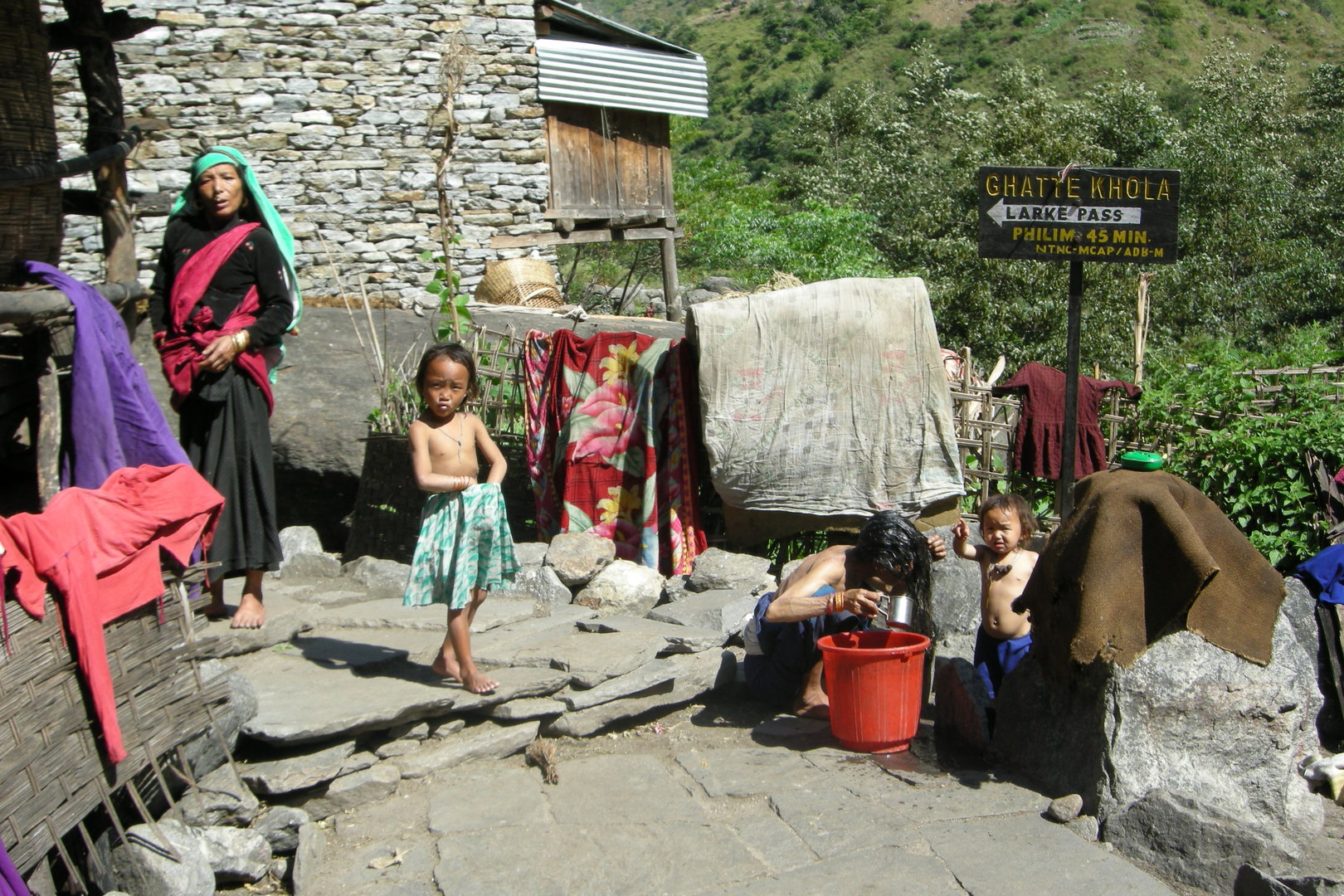
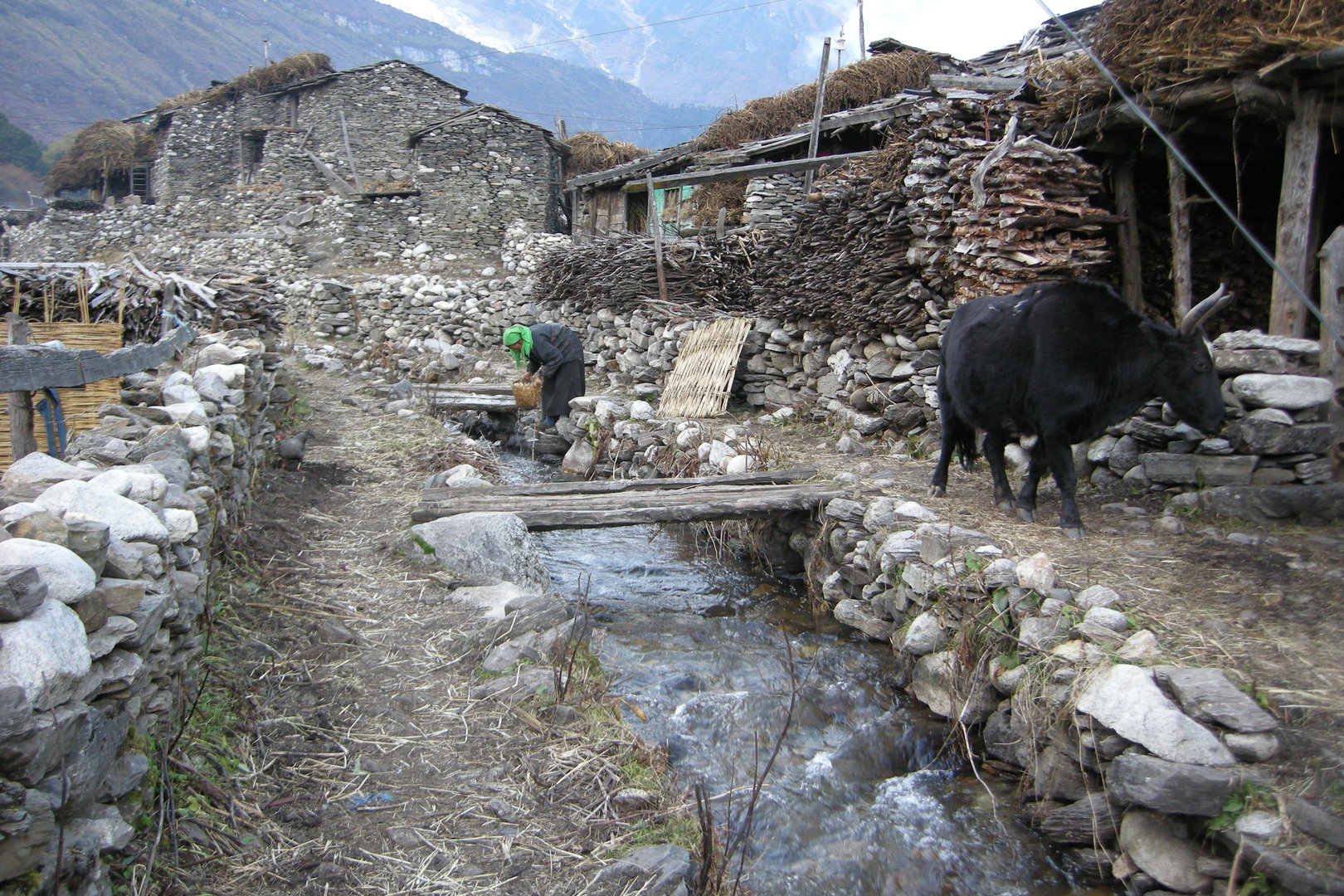
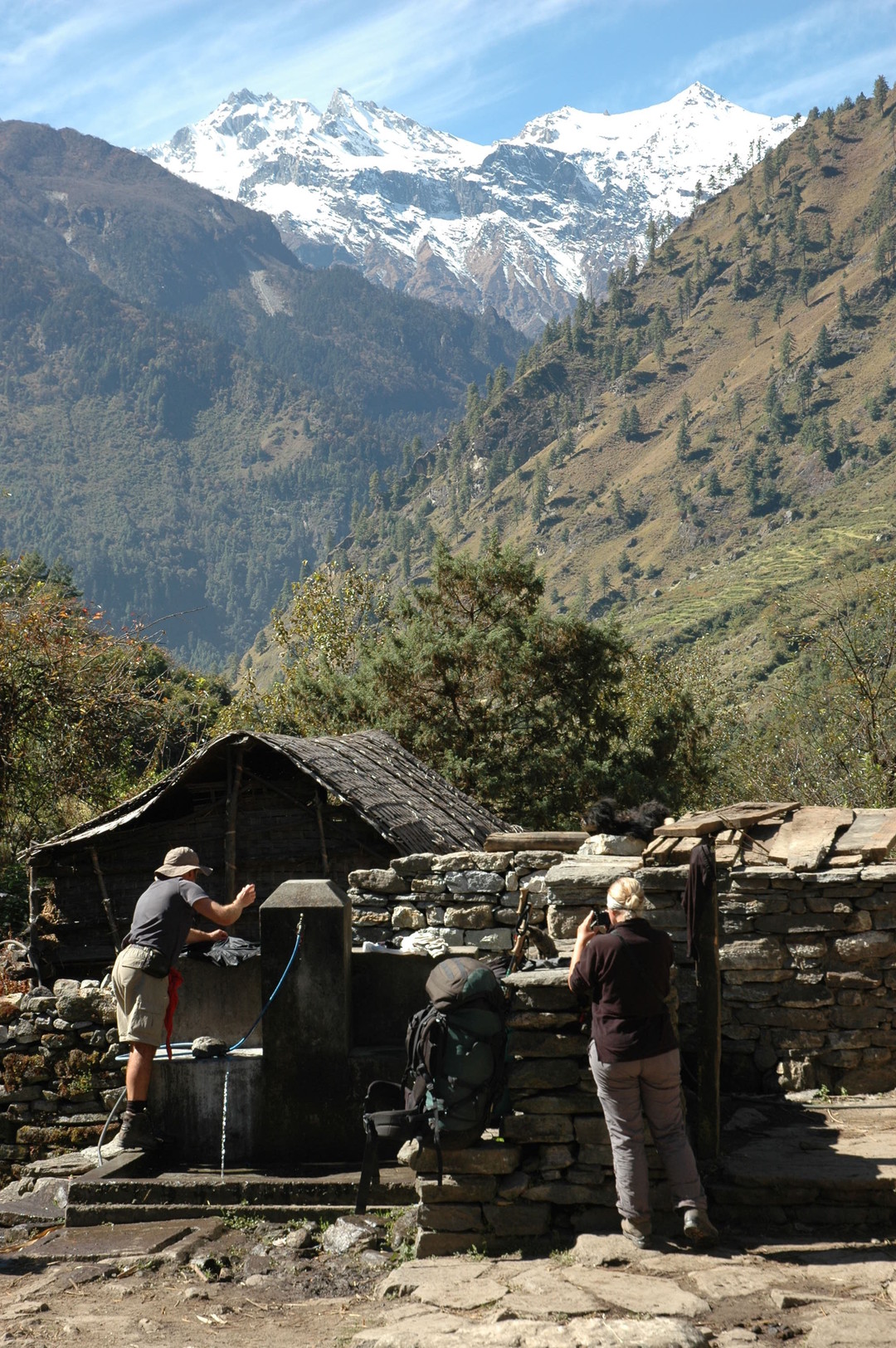
Ghatta Khola :: midday wash
Ghatta Khola :: crossing
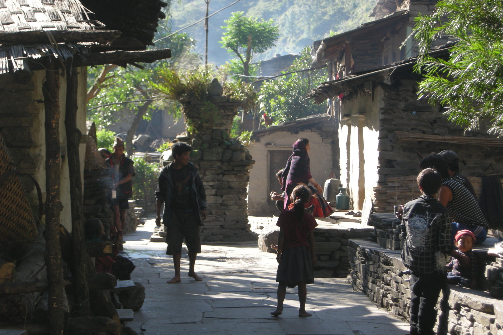
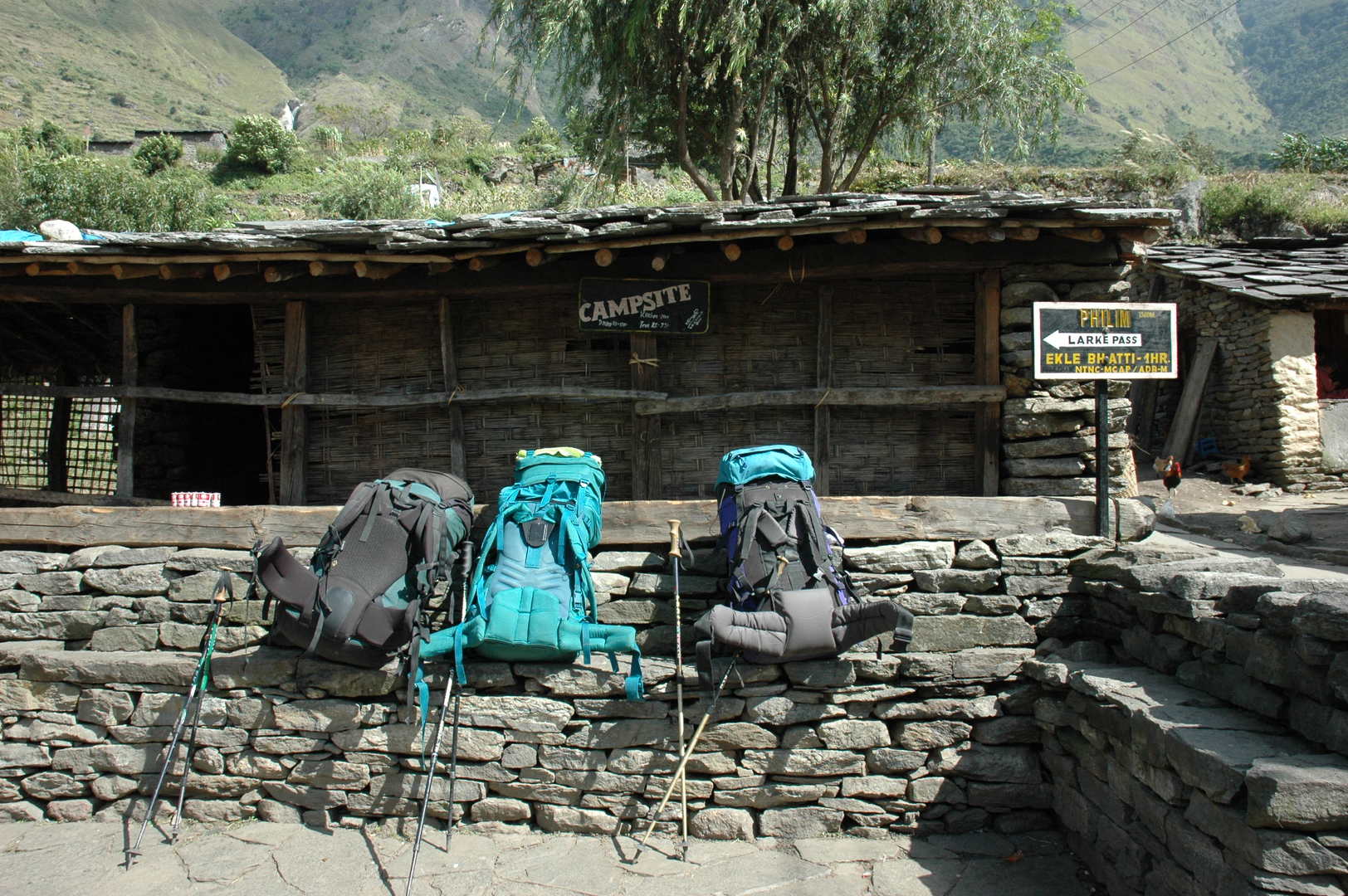
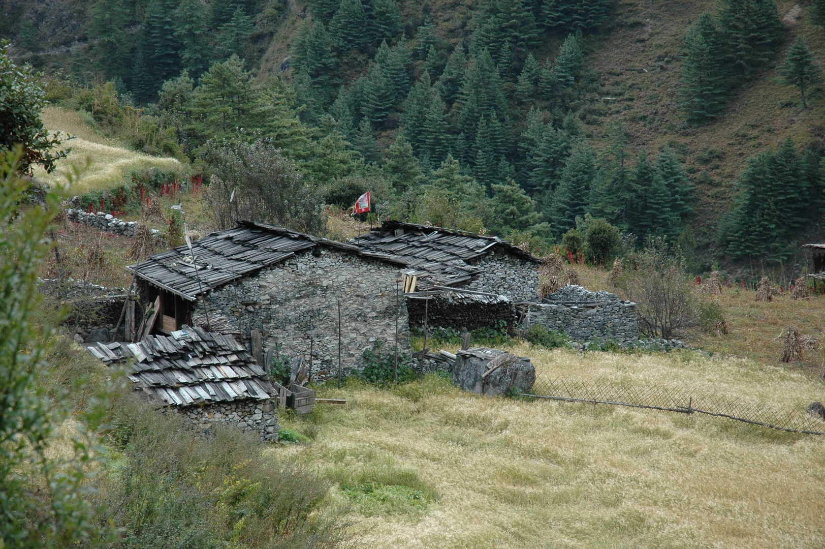
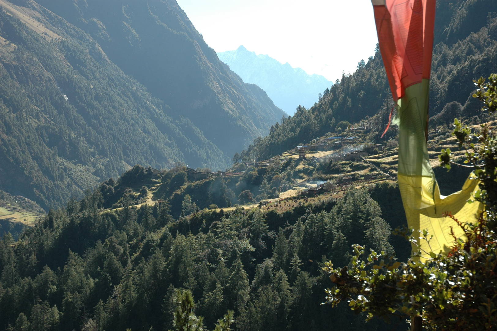
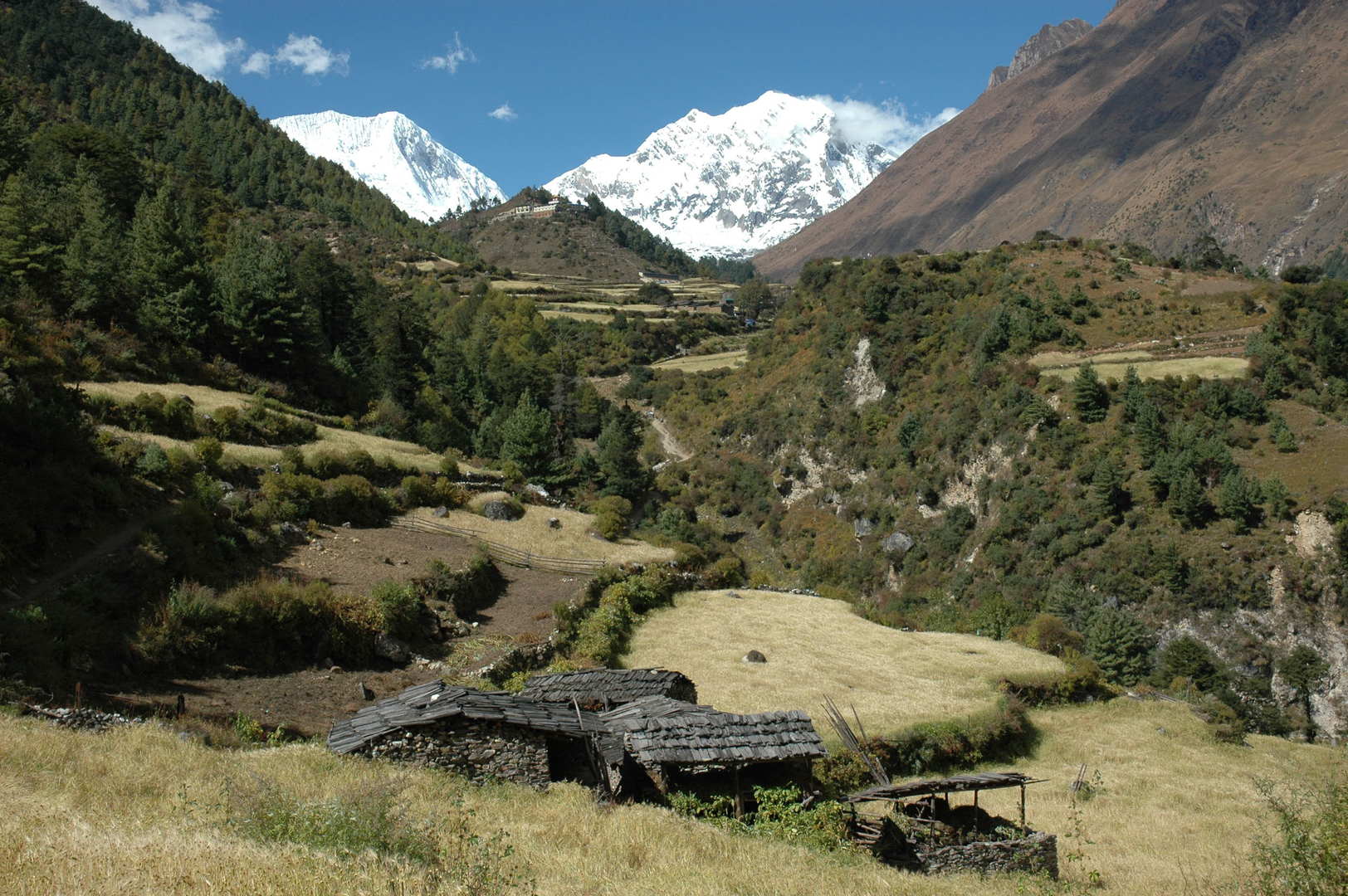
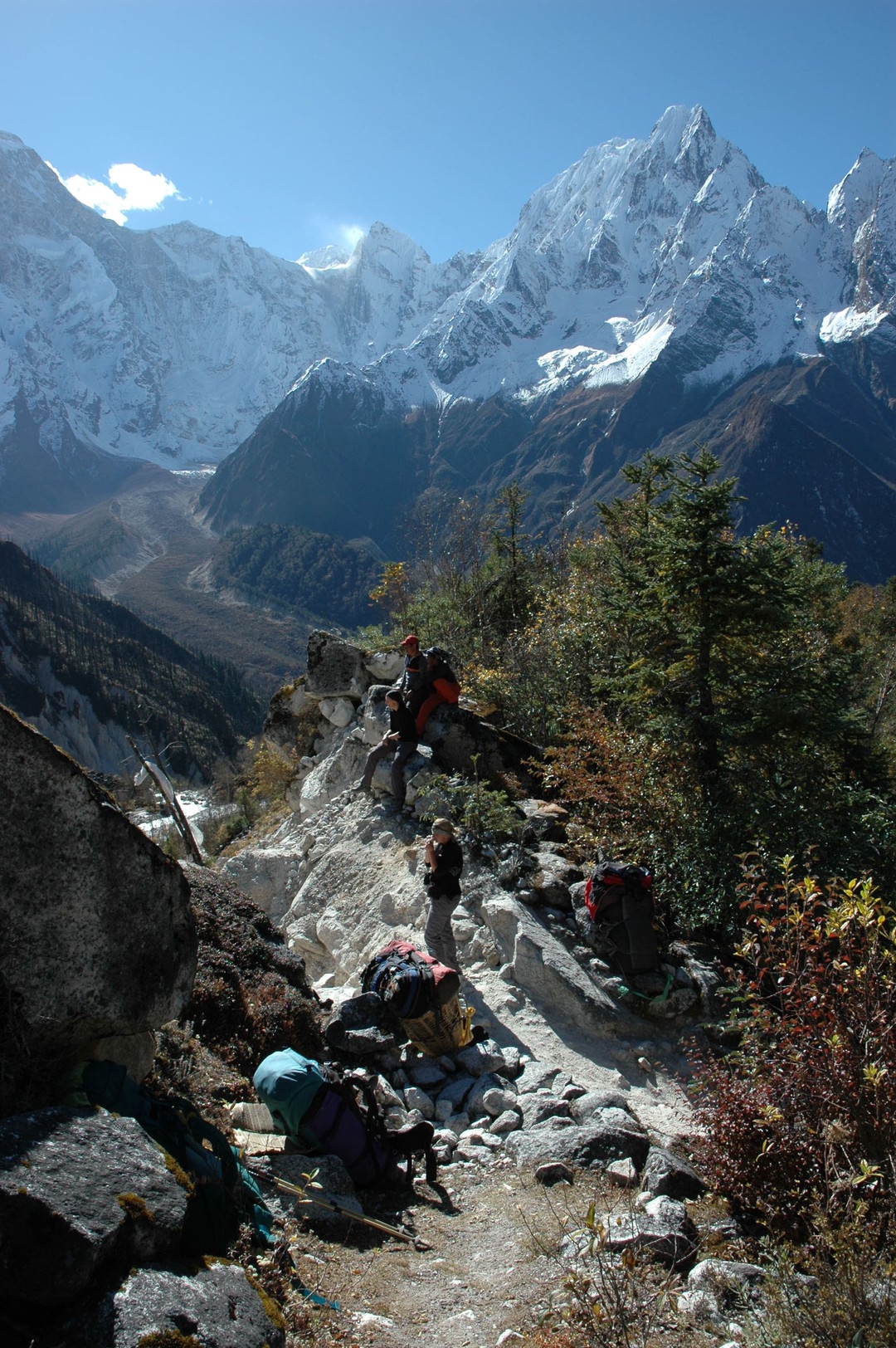
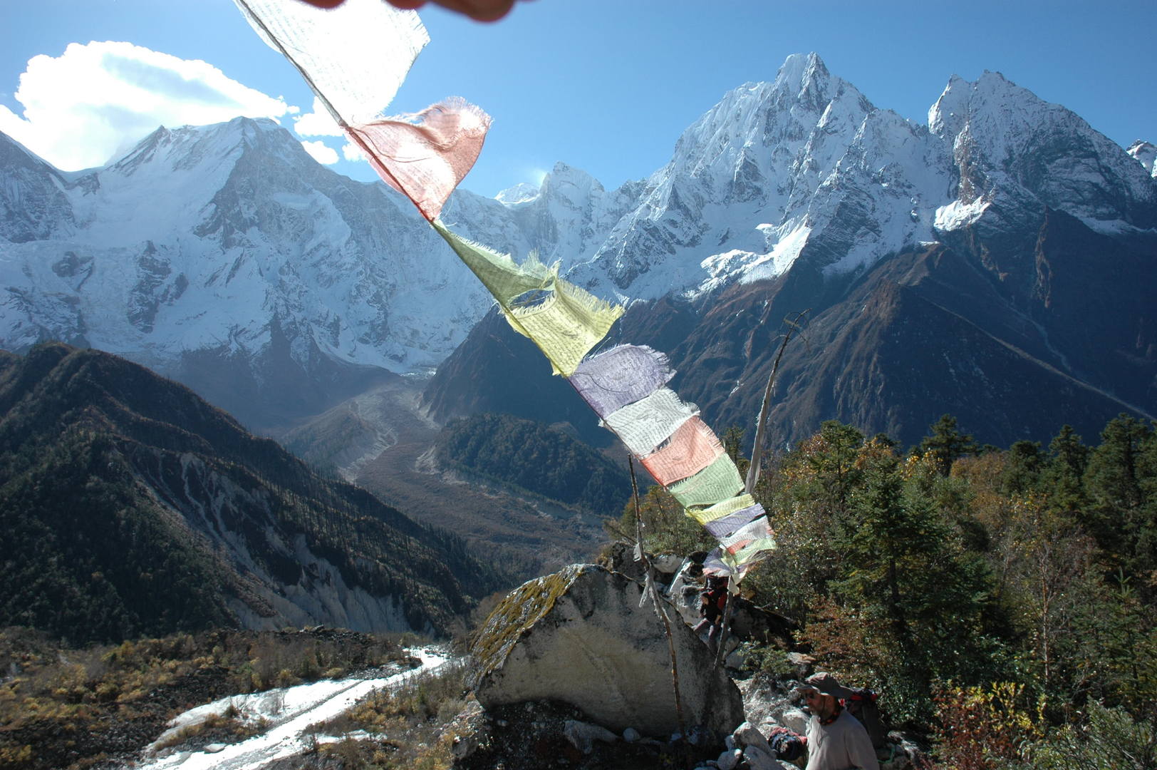
Towards Sirdibas and Philim, the latter on the other side
By Nagjur :: the police is watching you
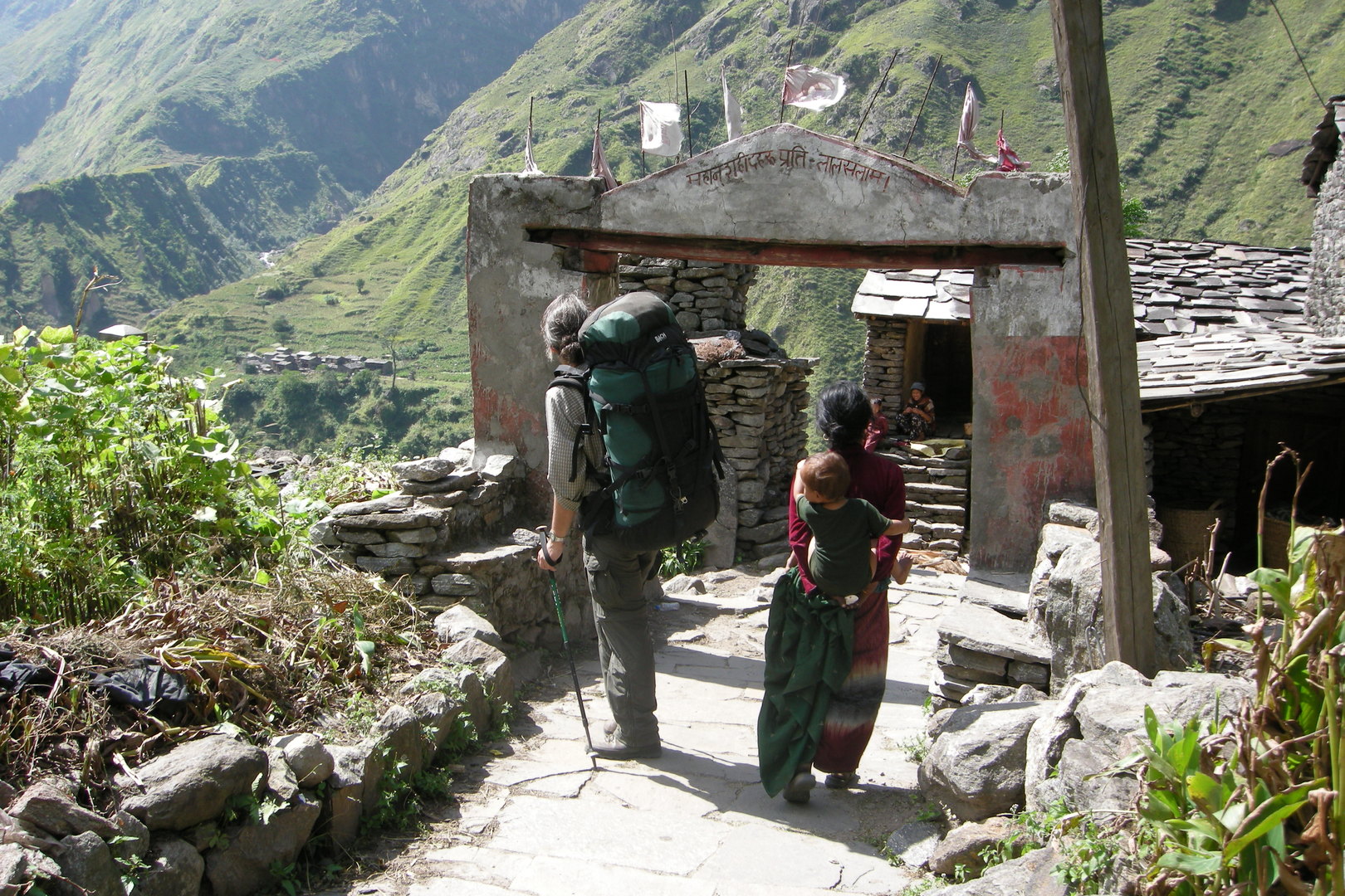
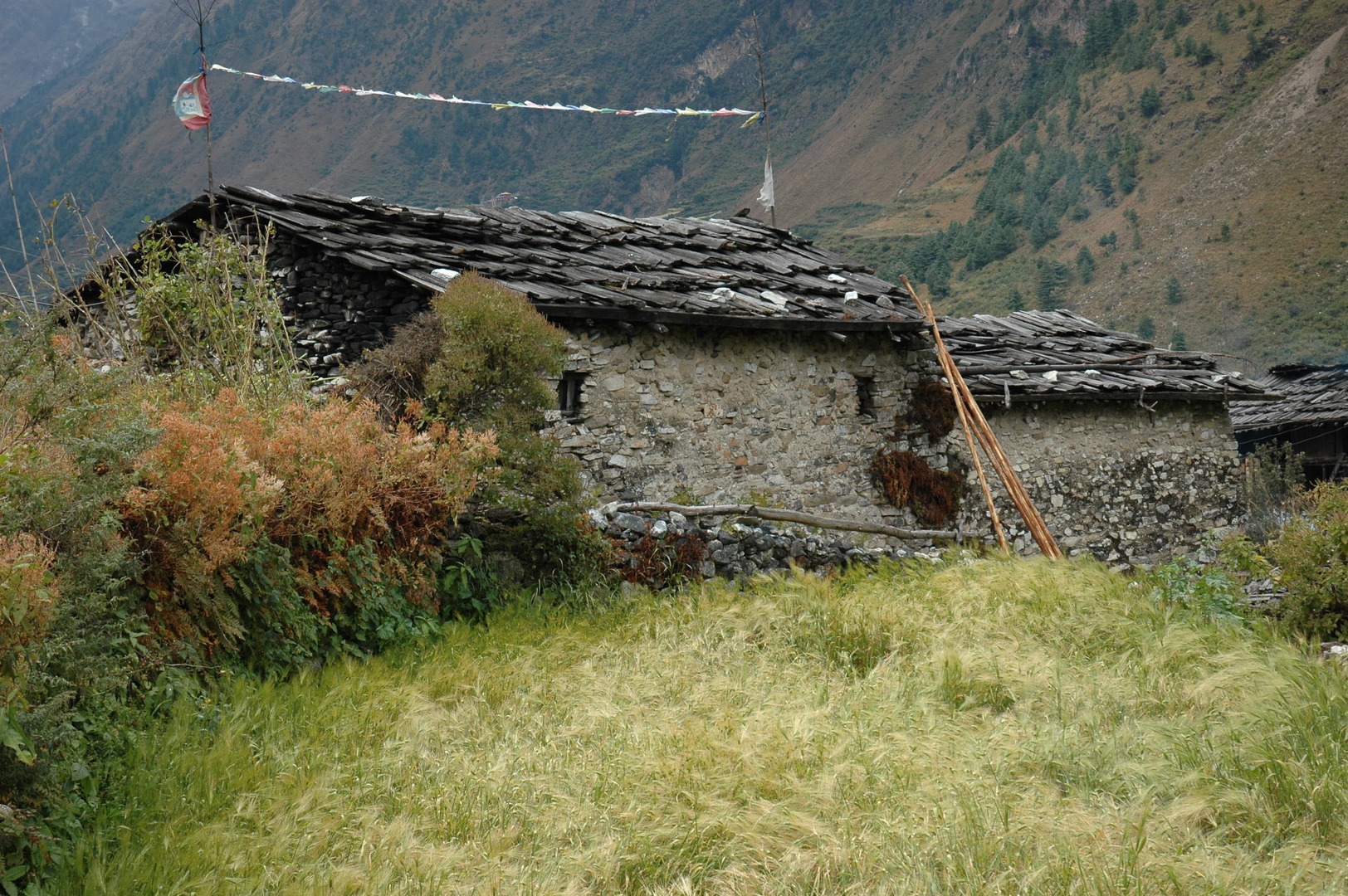
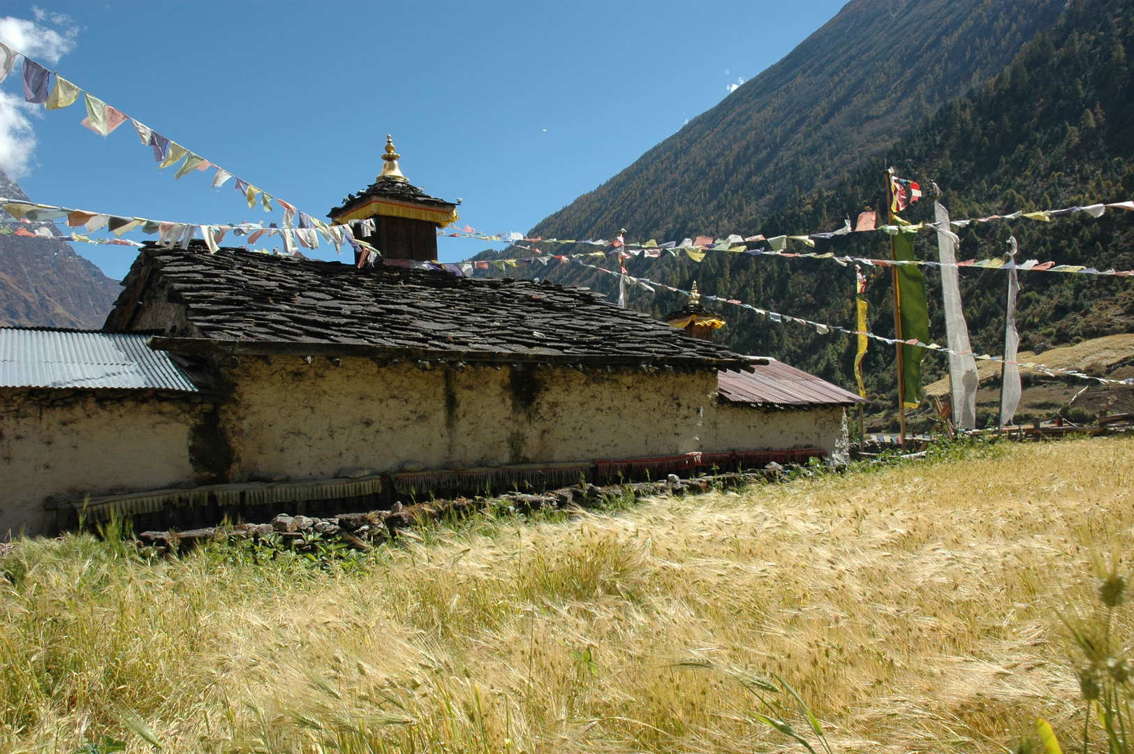
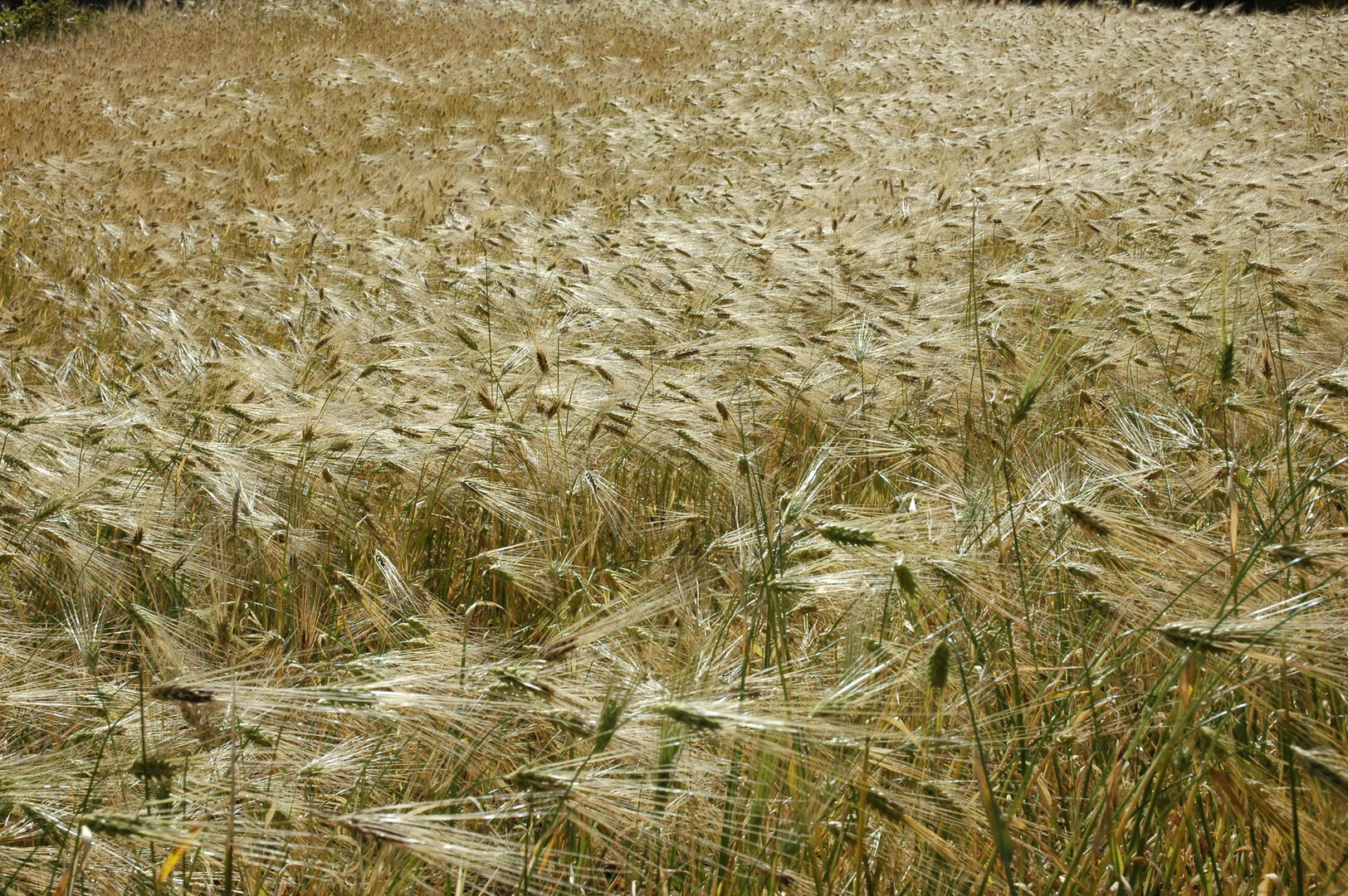
Philim :: the entrance Red Prayer Flags chorten
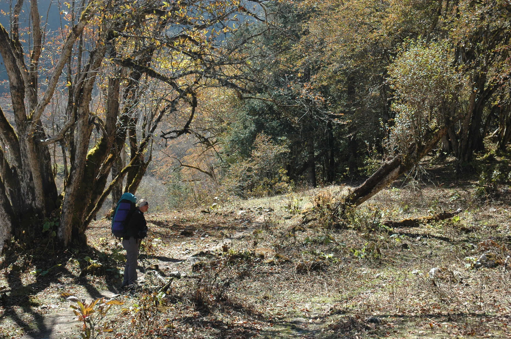
Philim :: resting
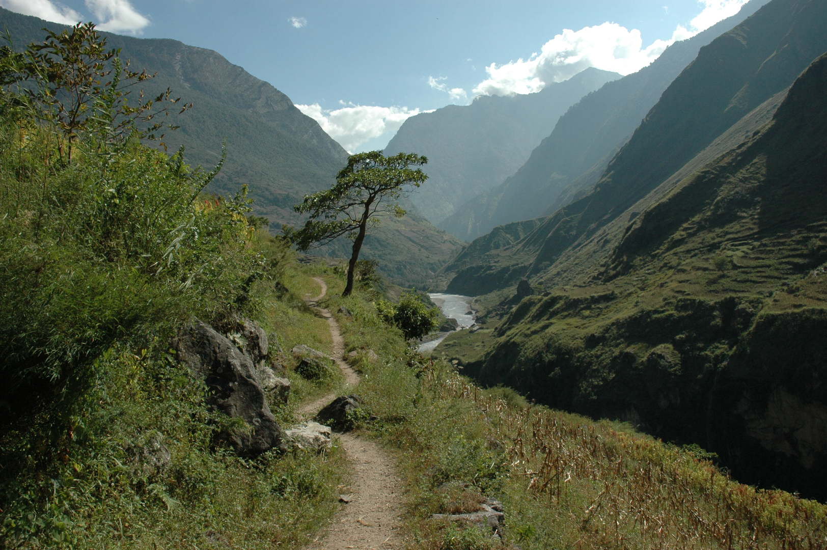
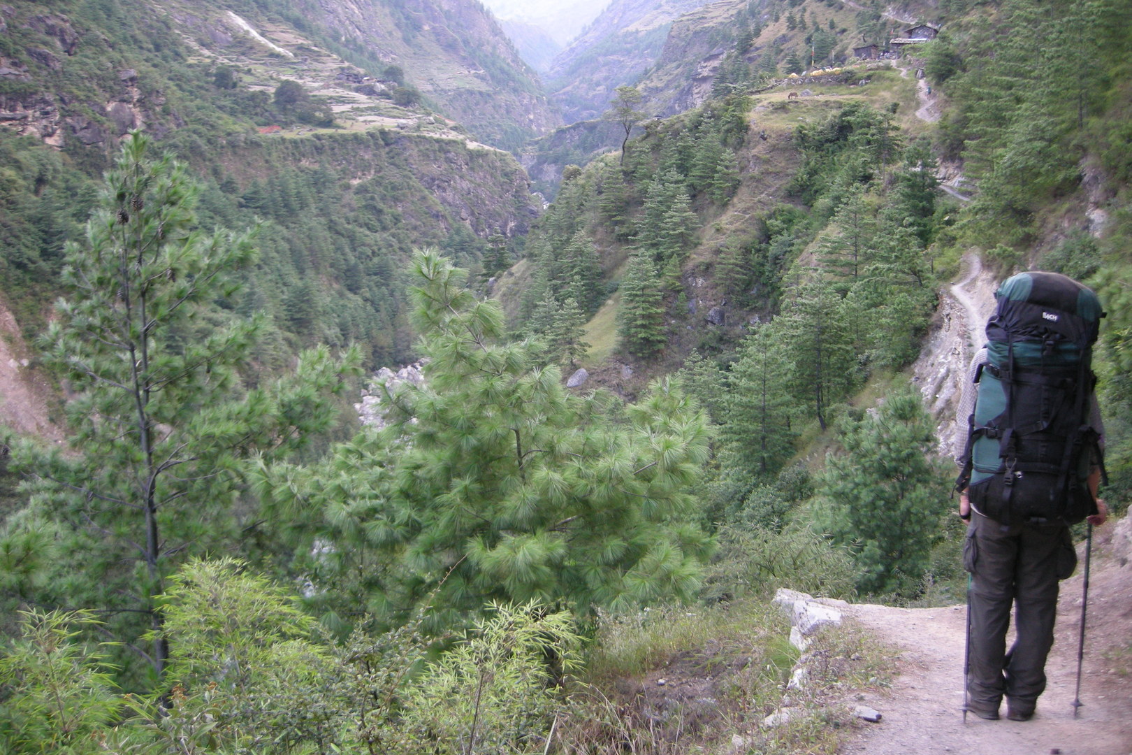
On the trail to Ekle Bhatti :: looking south
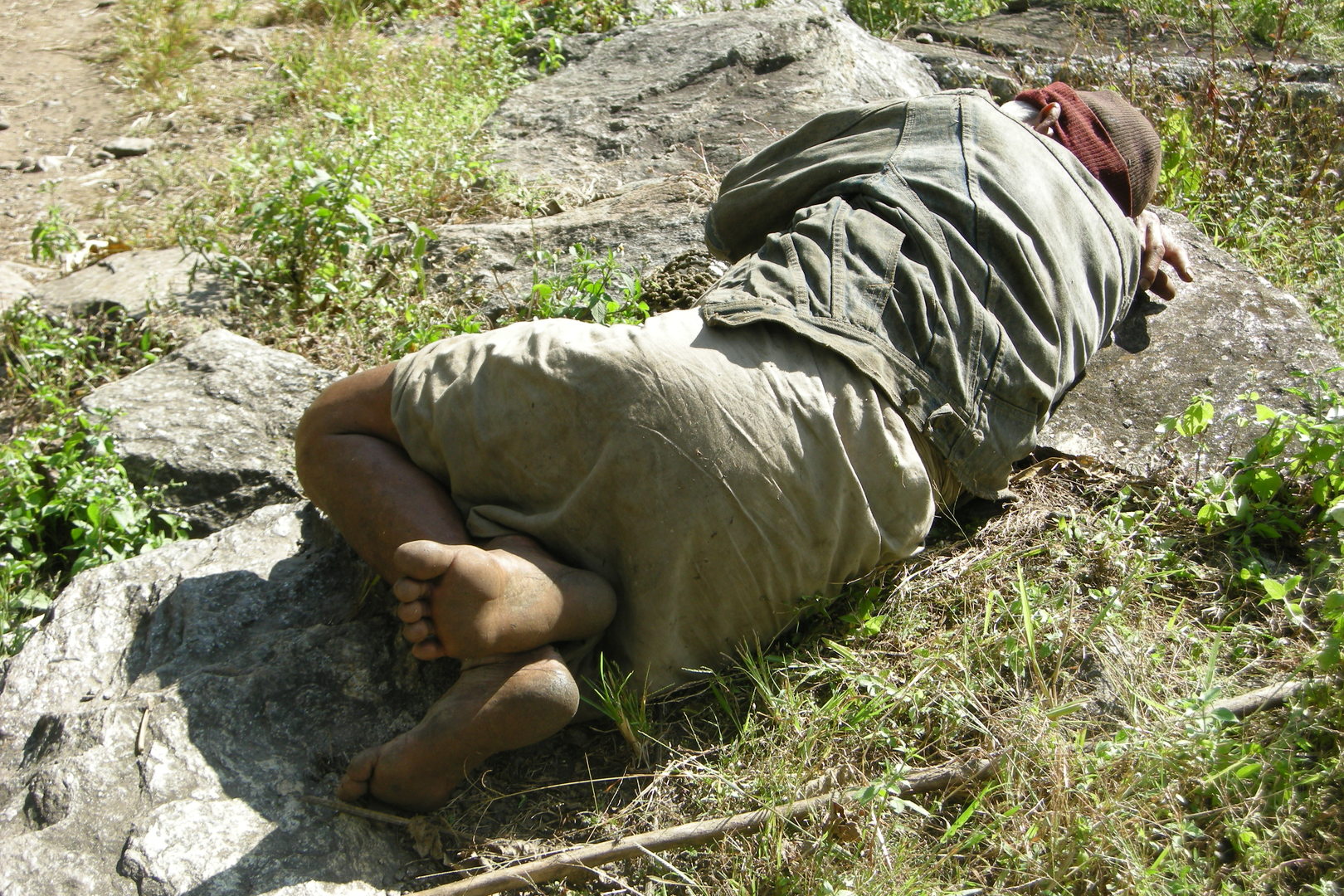
On the trail to Ekle Bhatti :: a sleeping villager
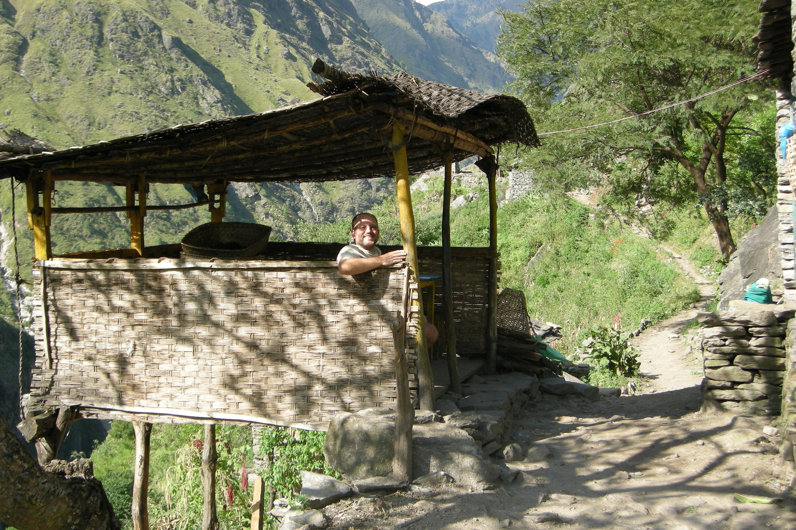
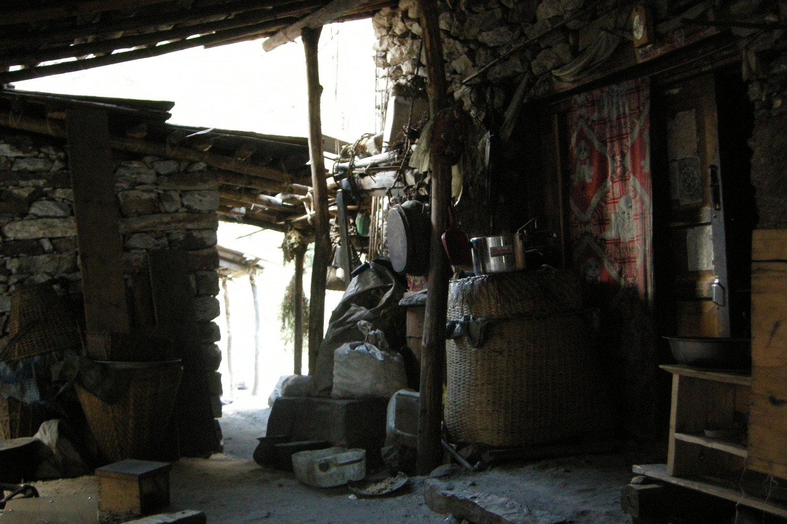
Ekle Bhatti :: a bhatti dining room
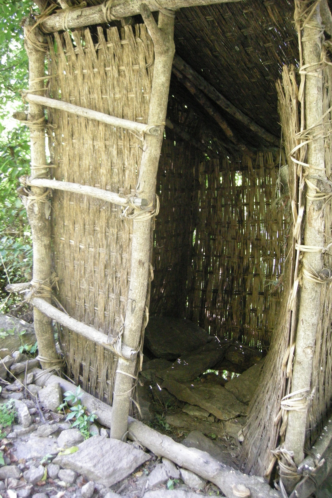
Ekle Bhatti :: and the toilet
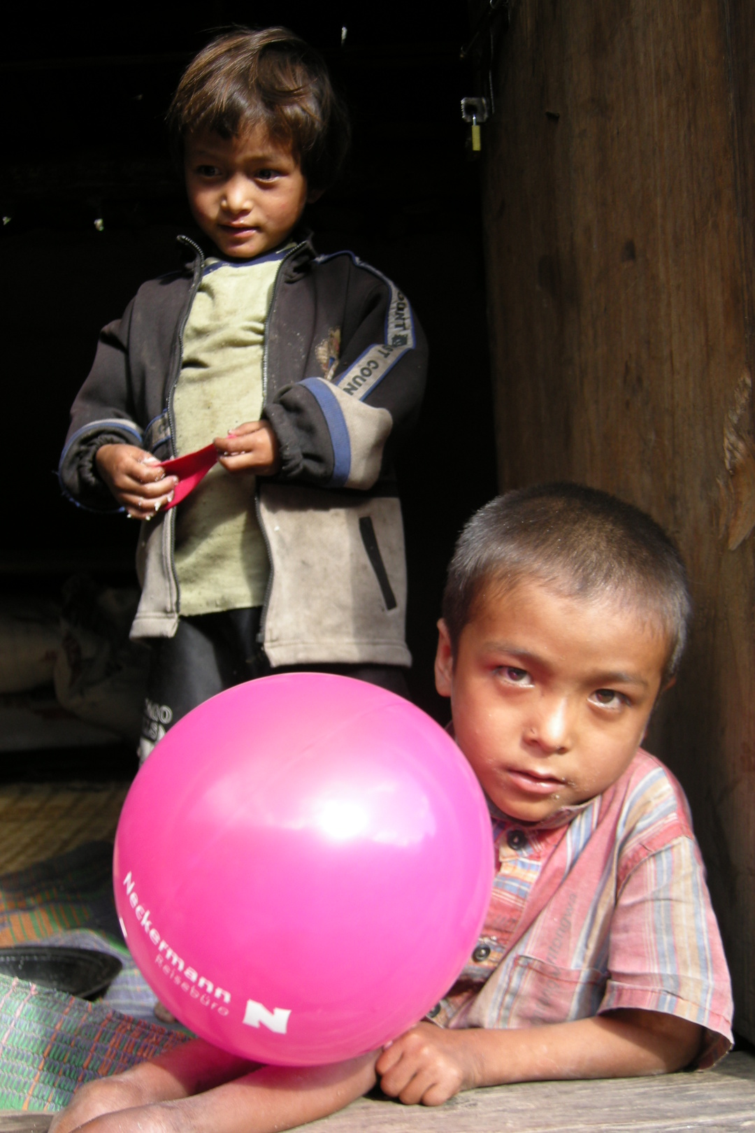
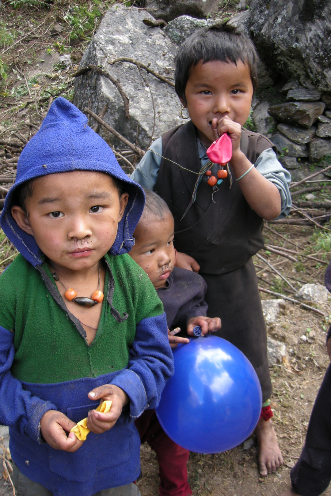
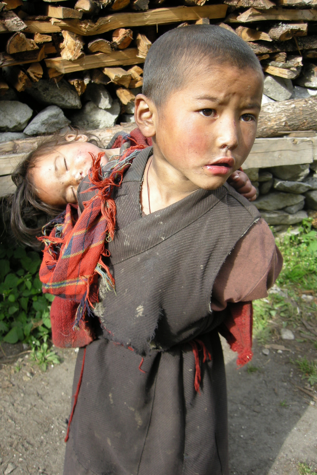
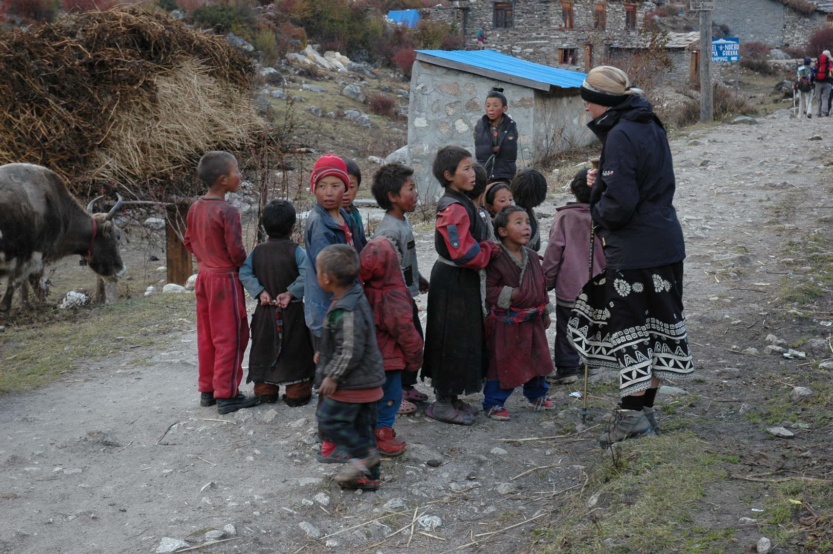
Ekle Bhatti :: children, ballooned
Ekle Bhatti :: ke garne?
Ekle Bhatti :: updating the diary
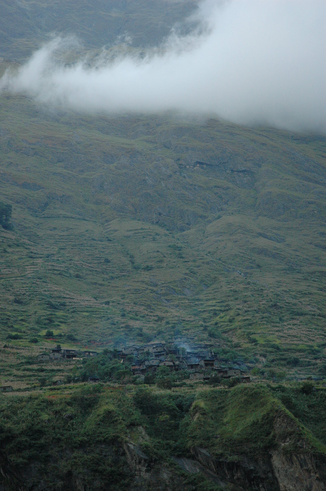
Ekle Bhatti :: the smokes and clouds above Bangsing
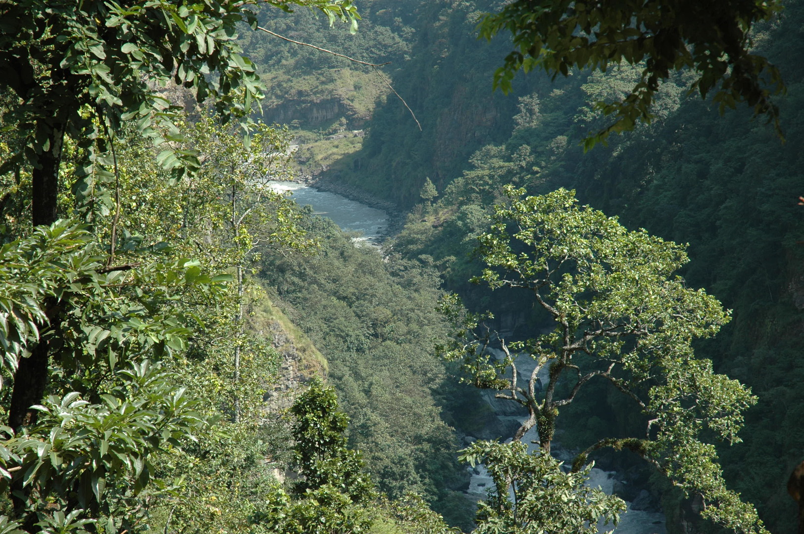
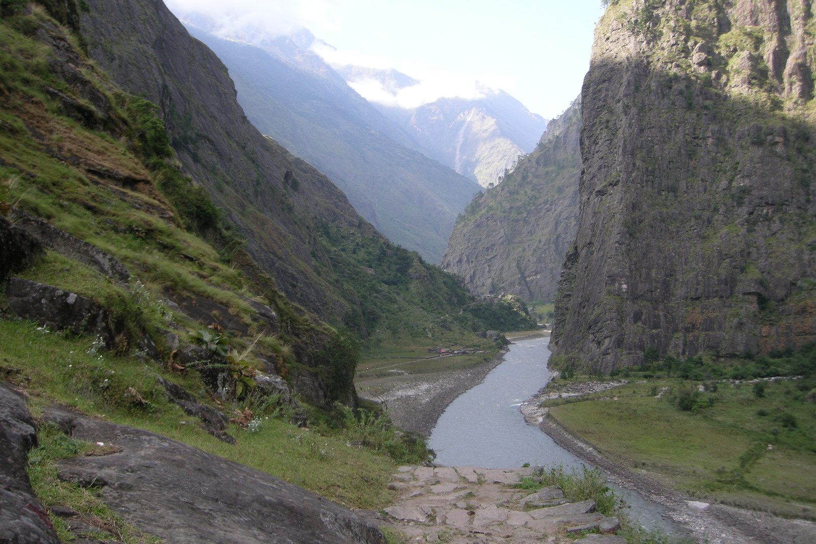
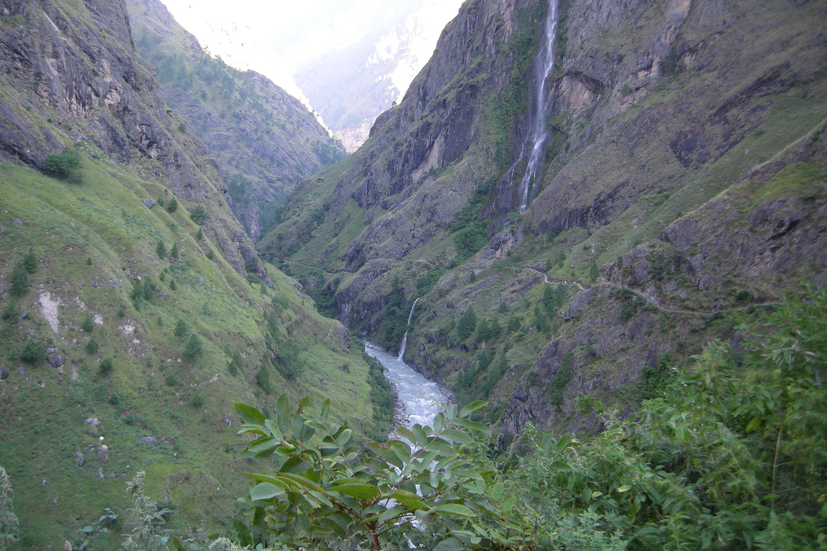
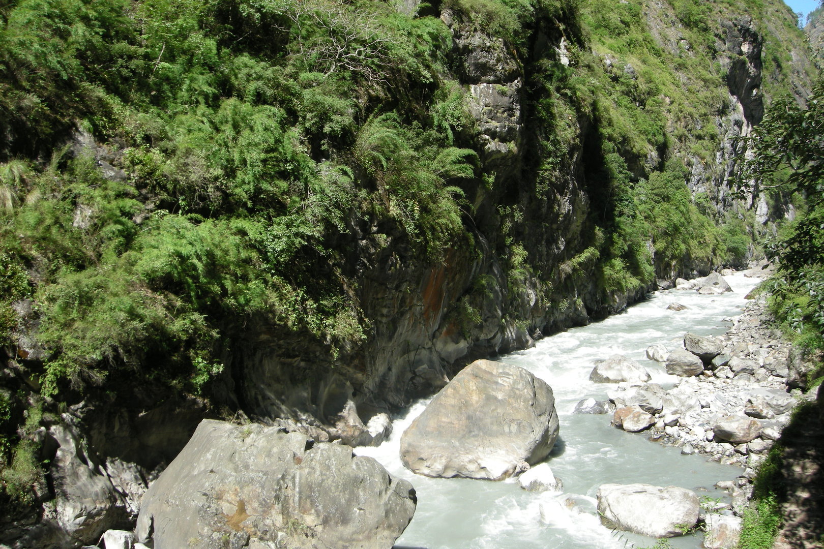
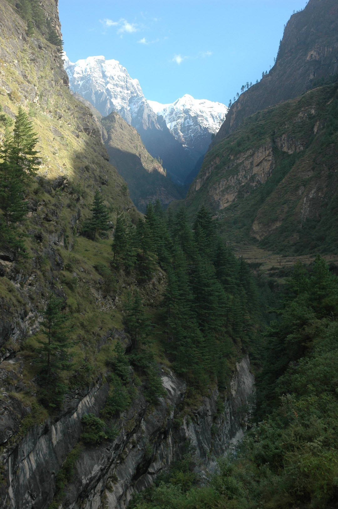
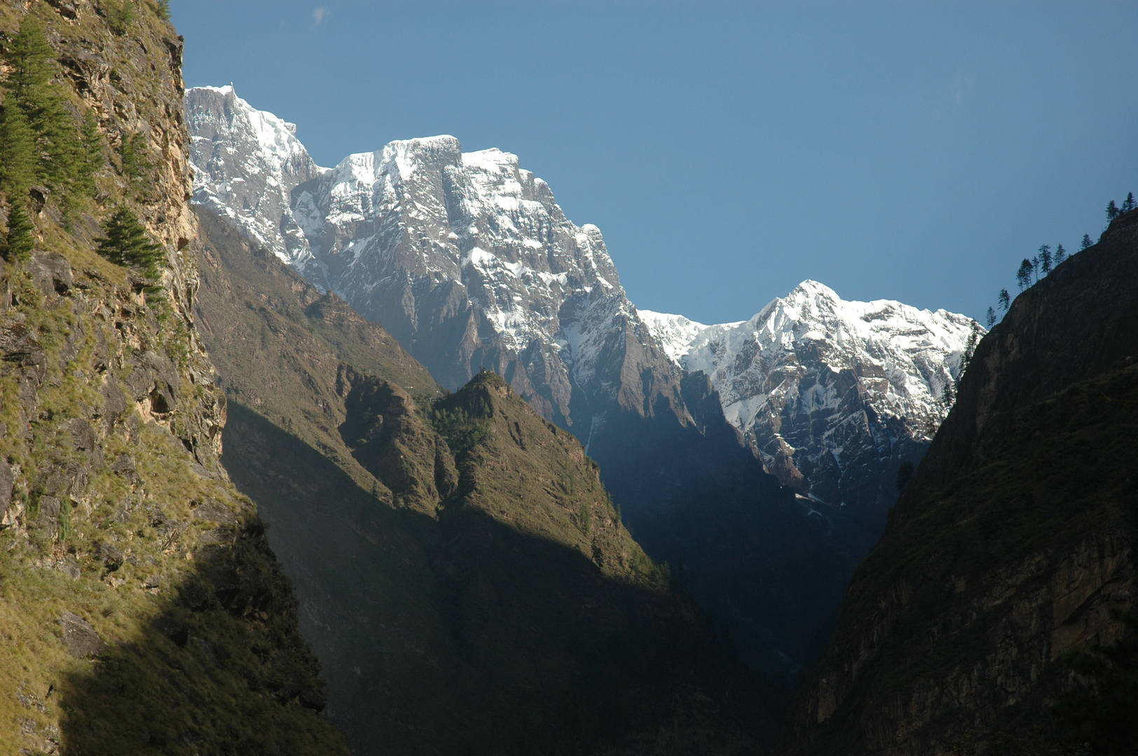
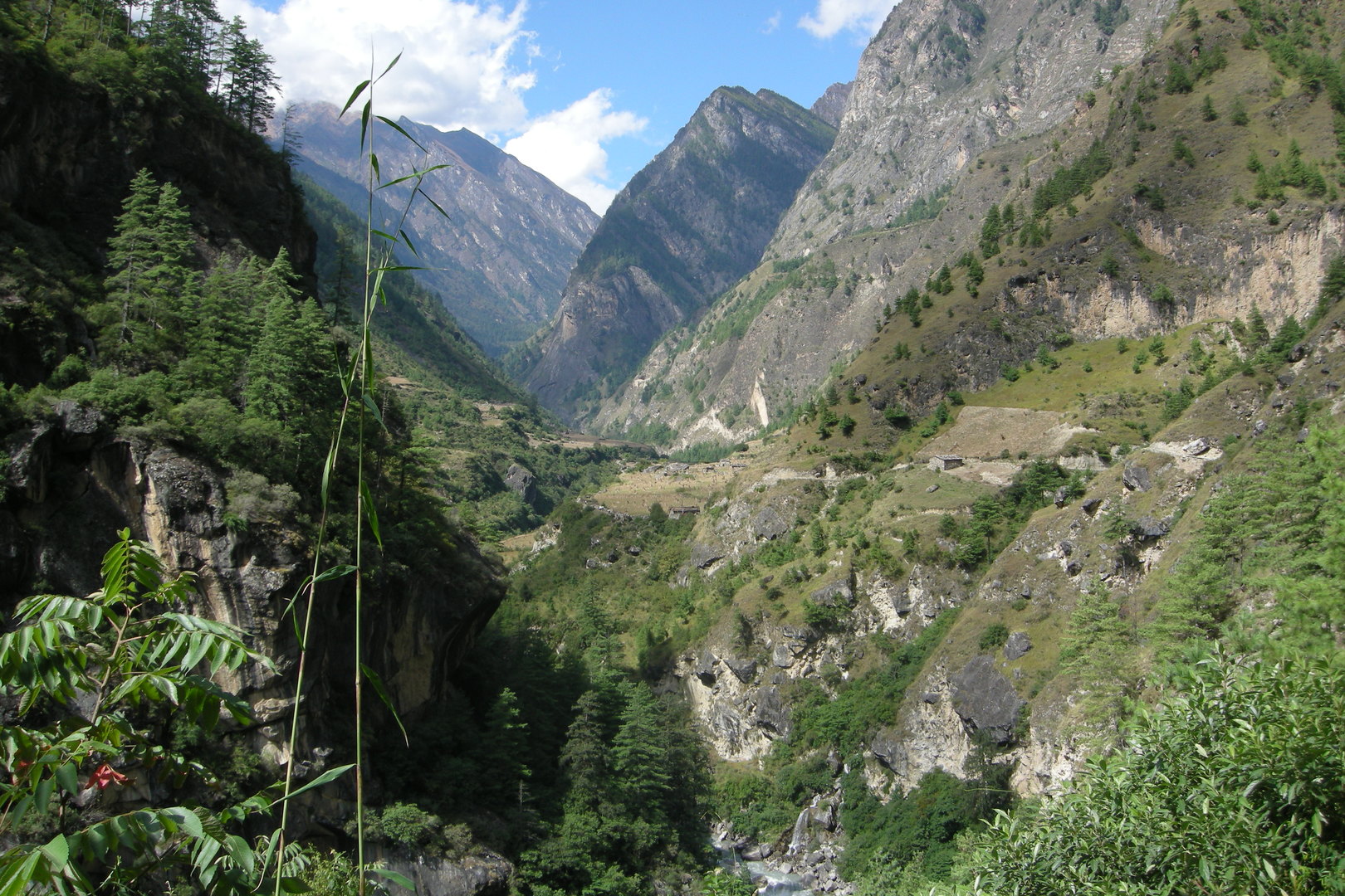
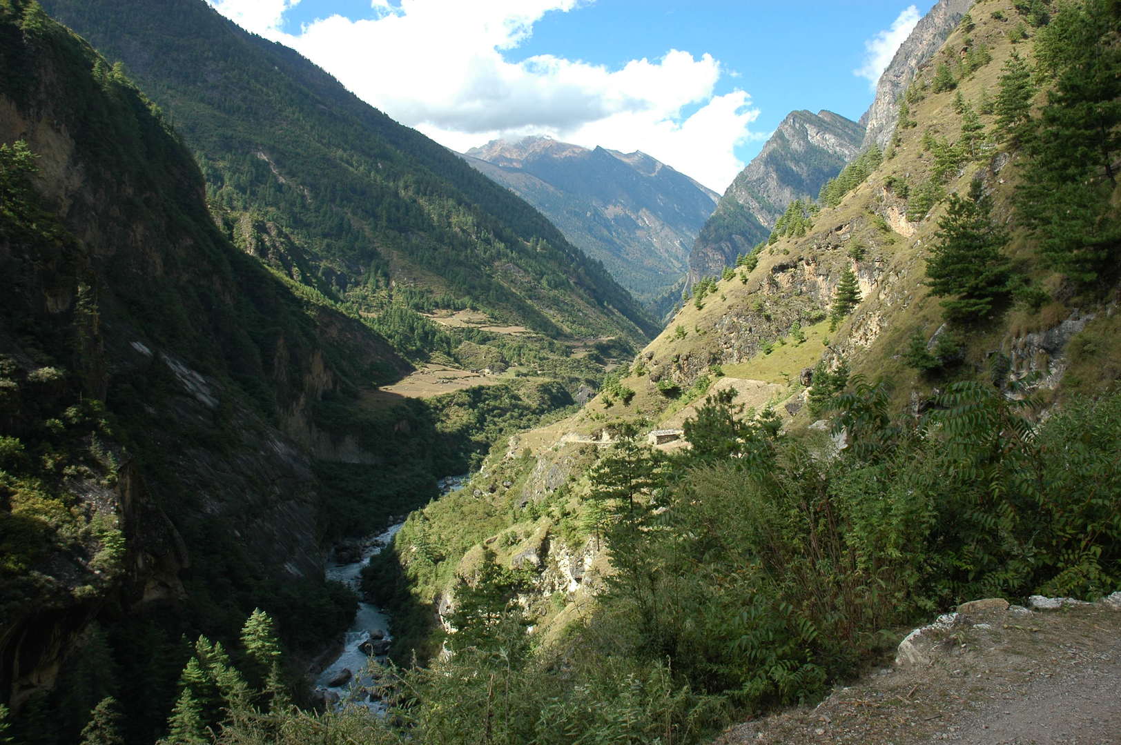
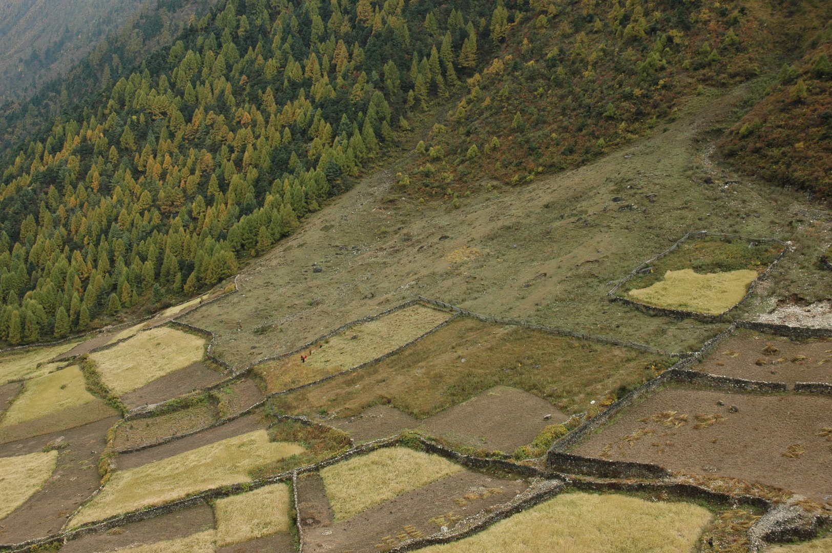
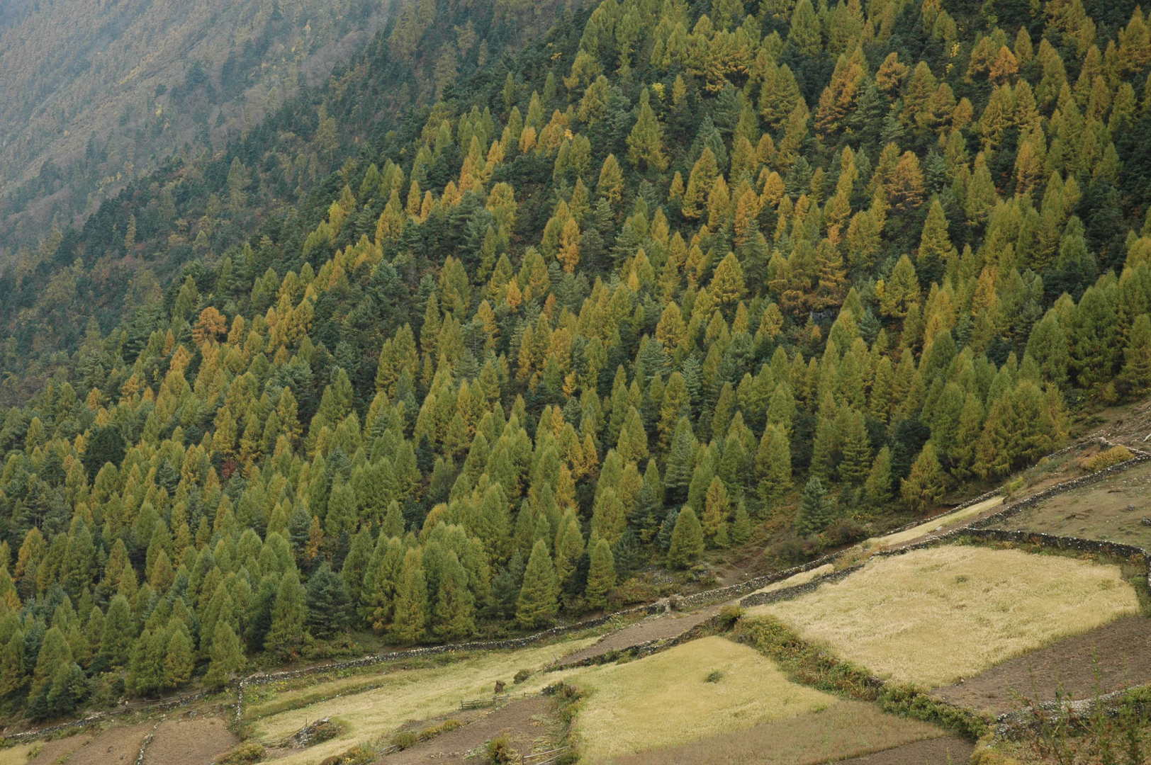
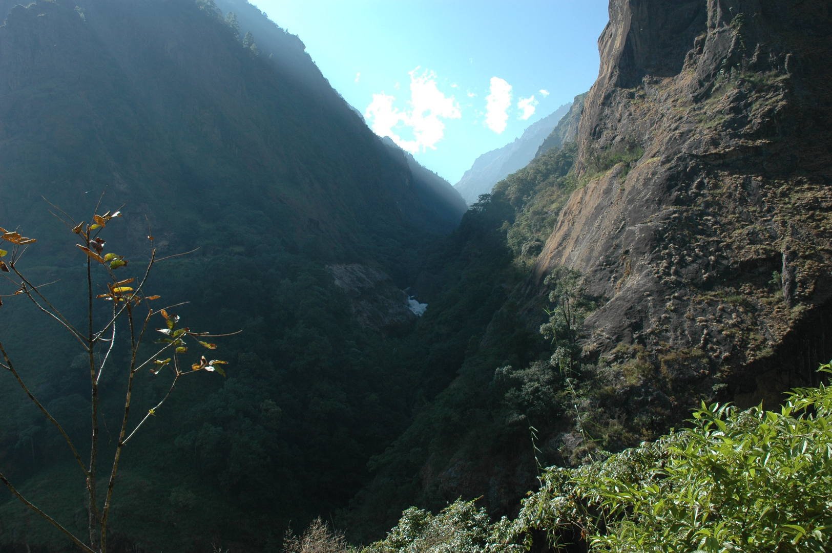
The Budhi Gandaki gorge by Awa :: entering
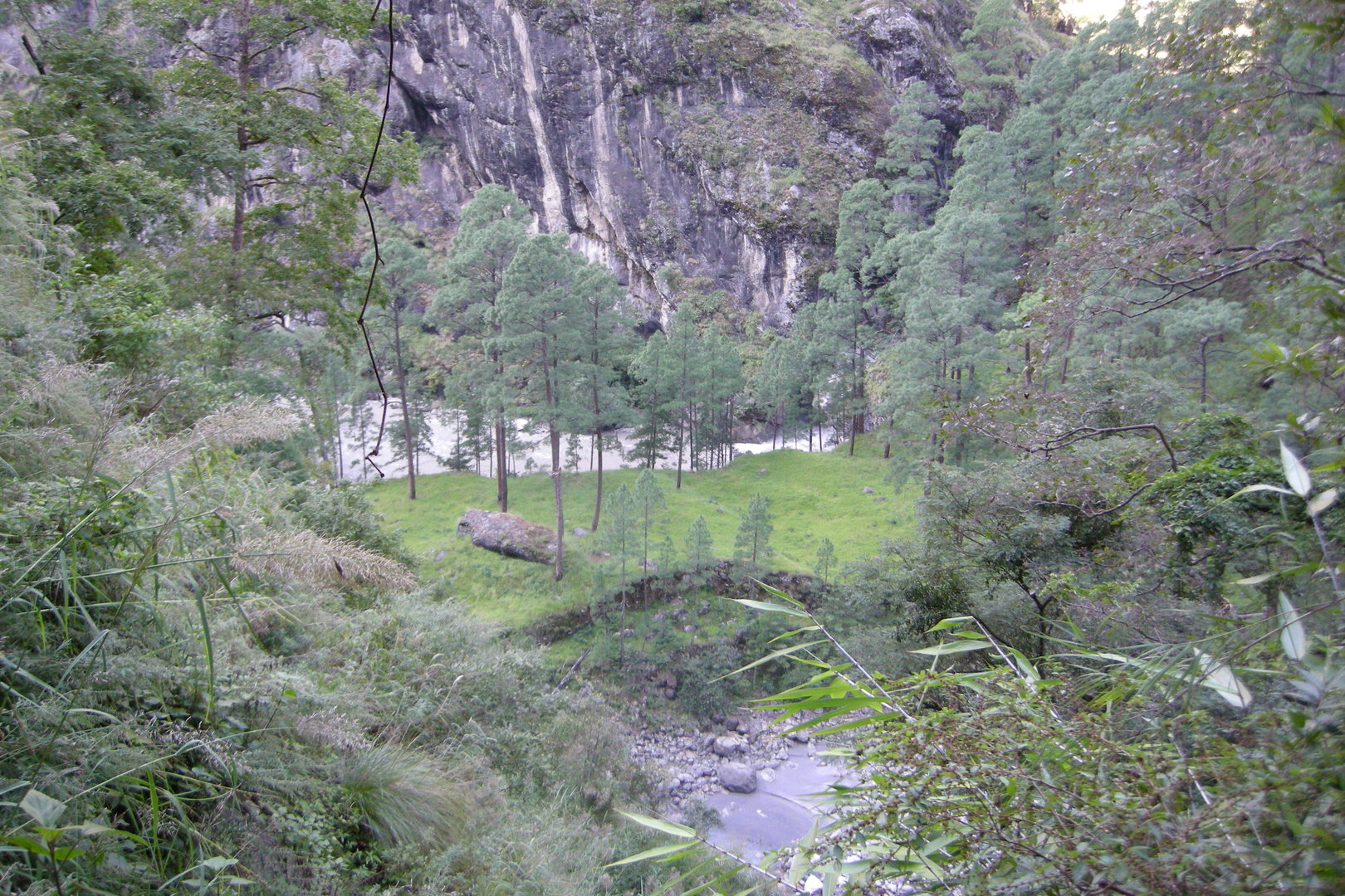
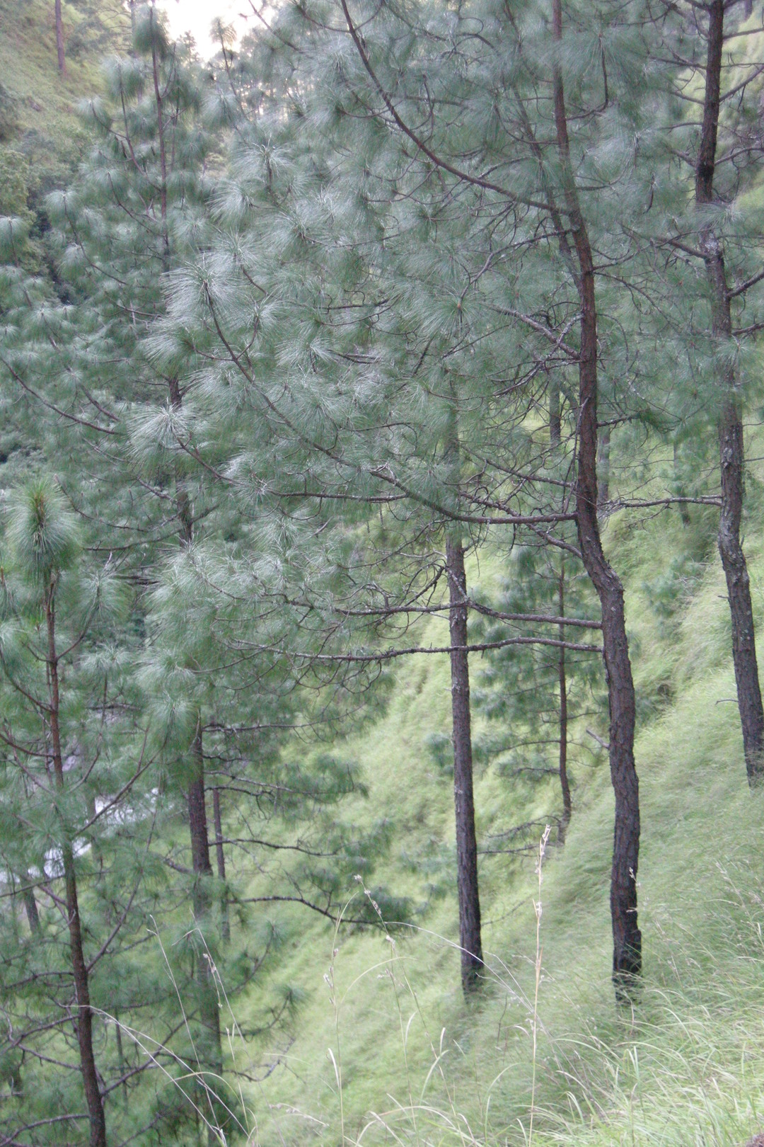
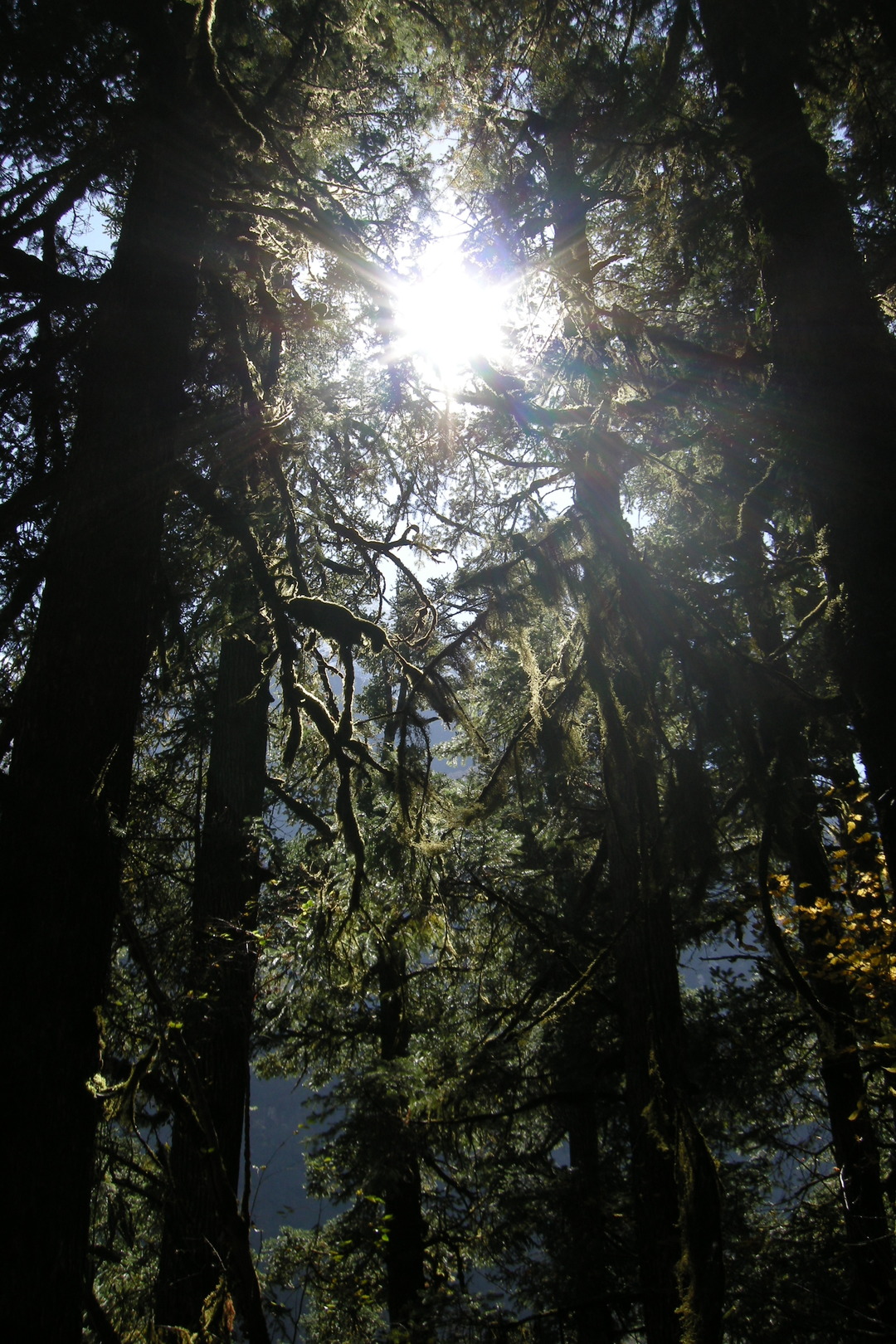
The Budhi Gandaki gorge by Awa :: a pine forest
The Budhi Gandaki gorge by Awa :: a pine forest
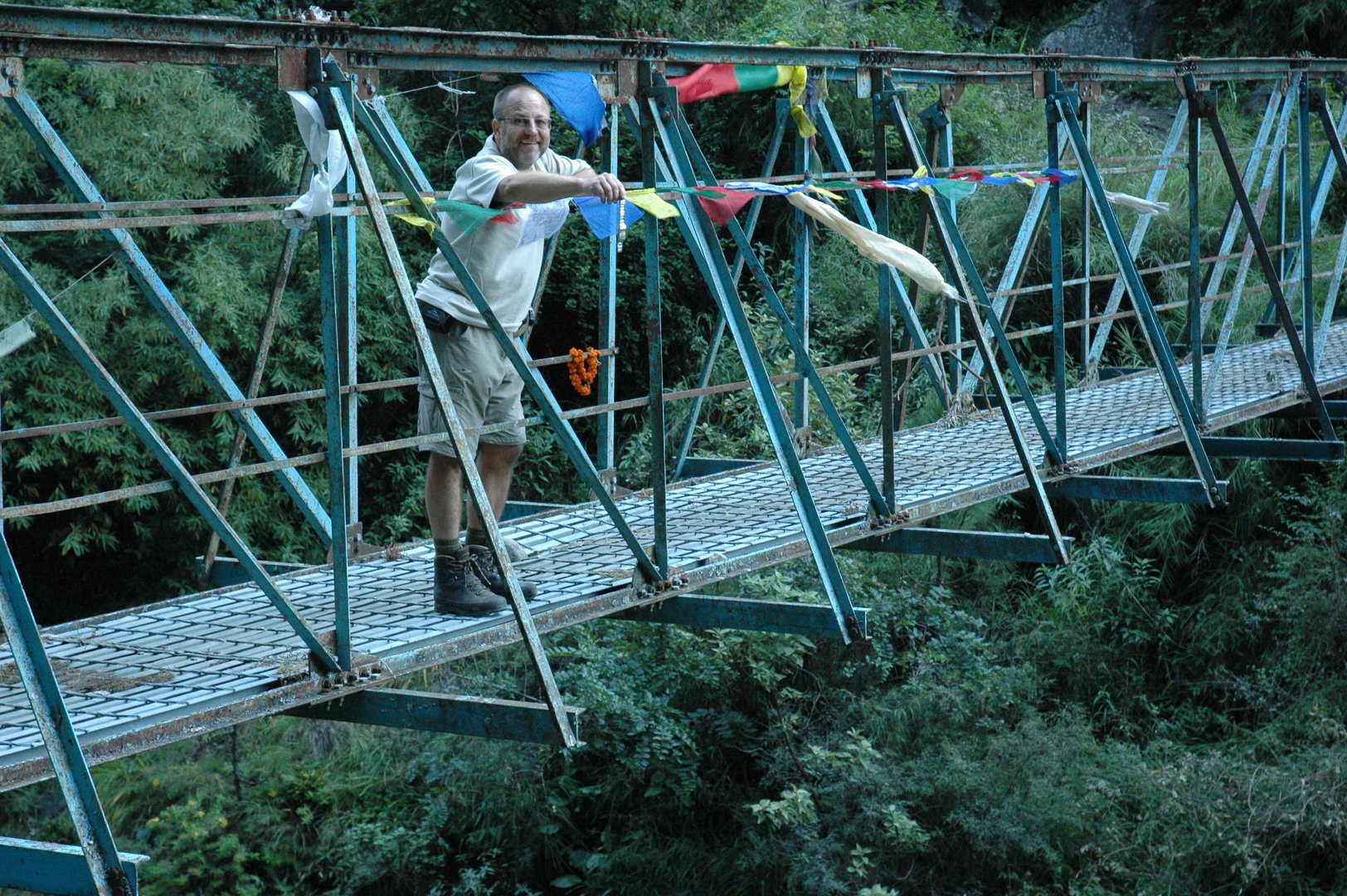
The Budhi Gandaki gorge by Awa :: the blue metal bridge :: getting rid of the useless watch
The Budhi Gandaki gorge by Nyak
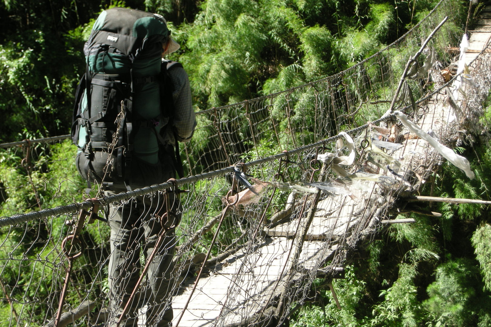
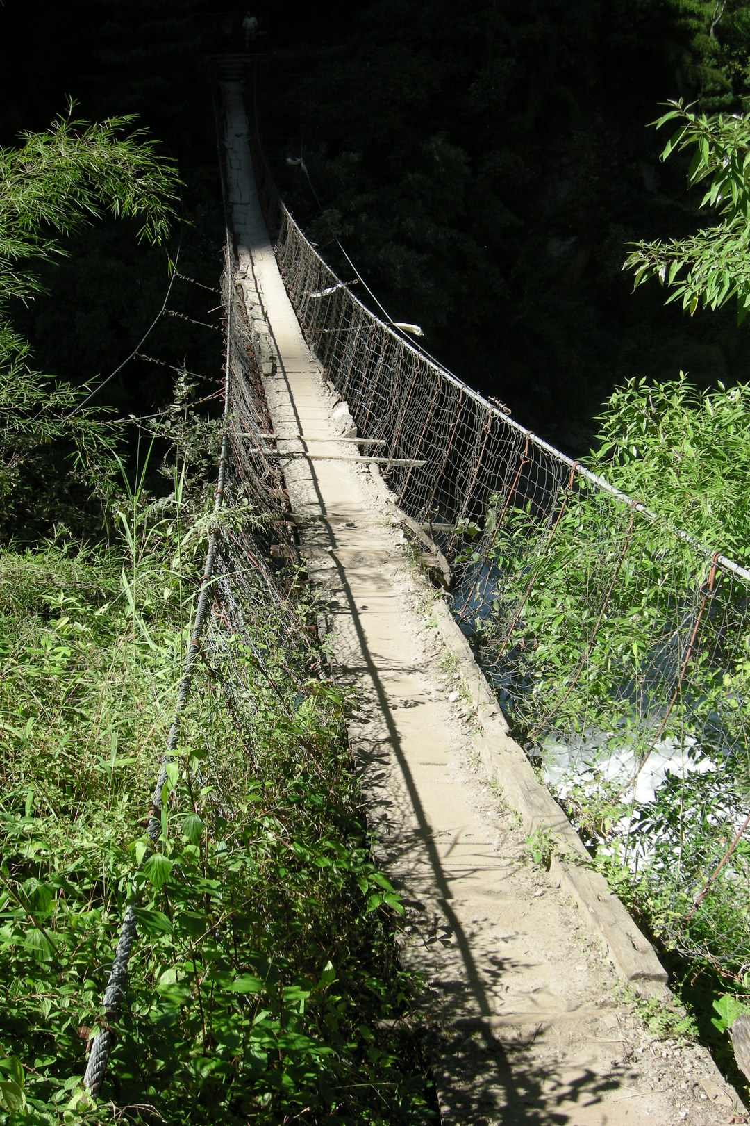
The Budhi Gandaki gorge by Nyak :: the first bridge :: oh, just cross and forget it
The Budhi Gandaki gorge by Nyak :: the first bridge :: oh, just cross and forget it
The Budhi Gandaki gorge by Nyak :: the first bridge :: shaky
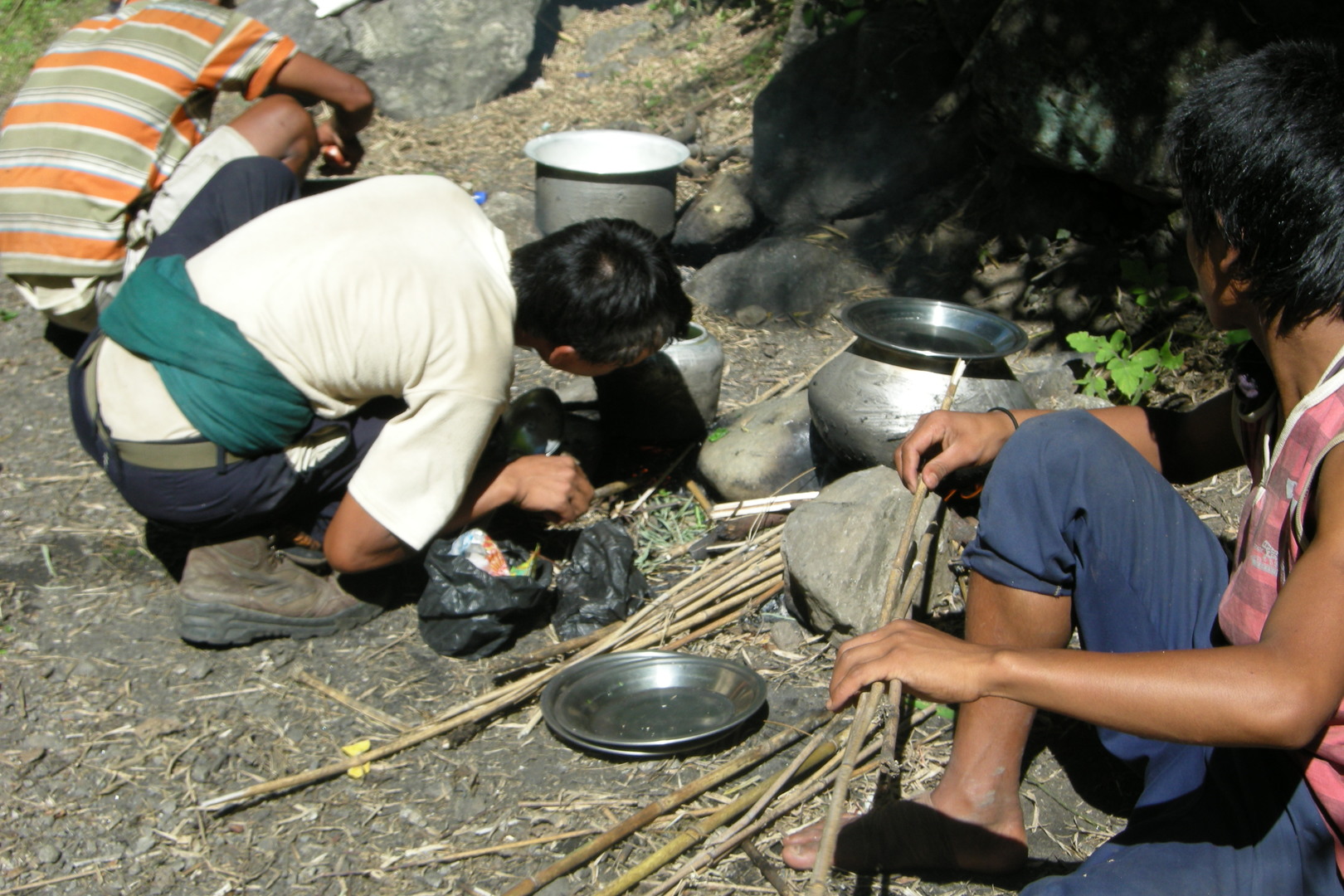
The Budhi Gandaki gorge by Pewa :: porters cooking
The Budhi Gandaki gorge by Pewa :: the second bridge :: oh, this one as well…
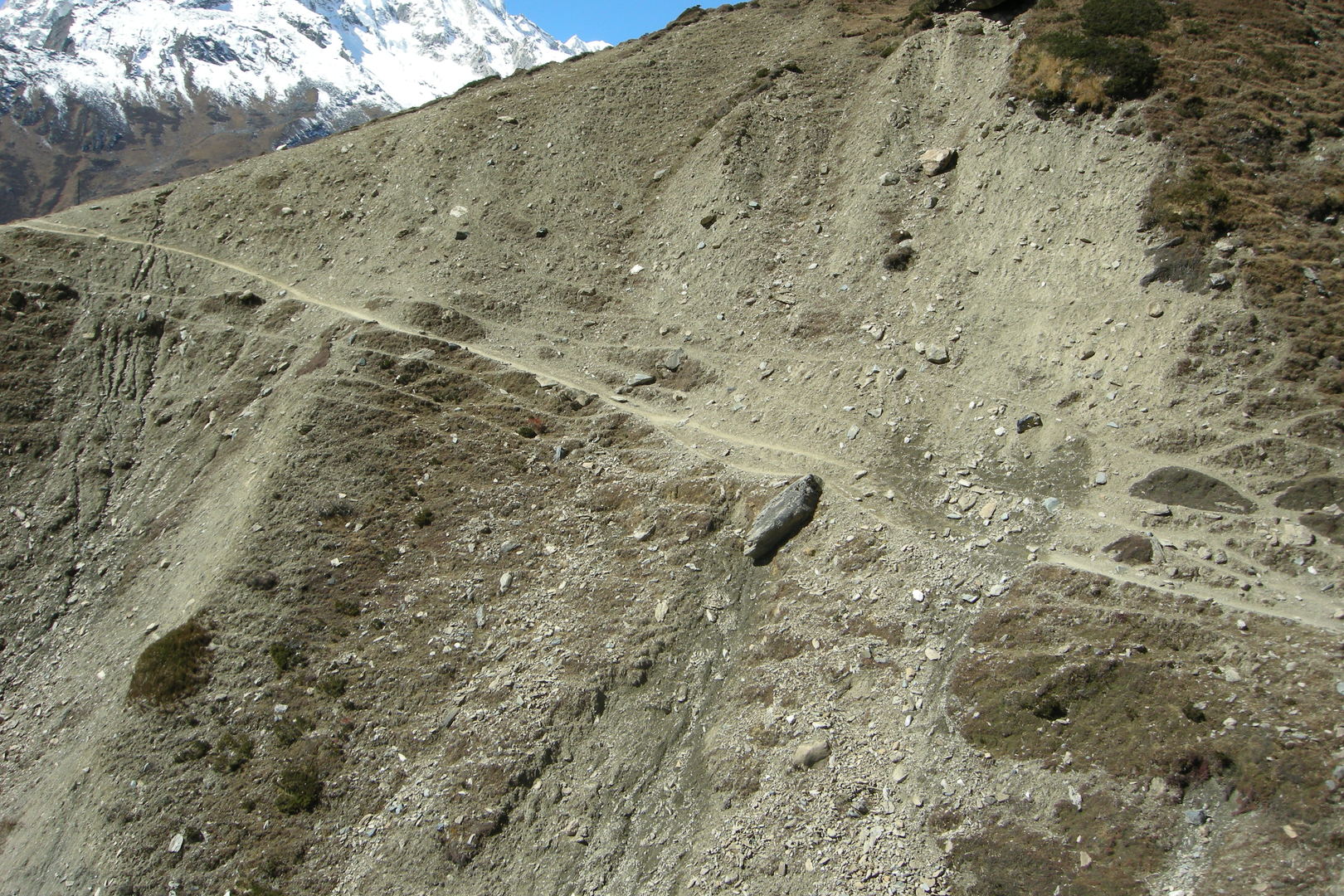
The Budhi Gandaki gorge by Pewa :: the trail
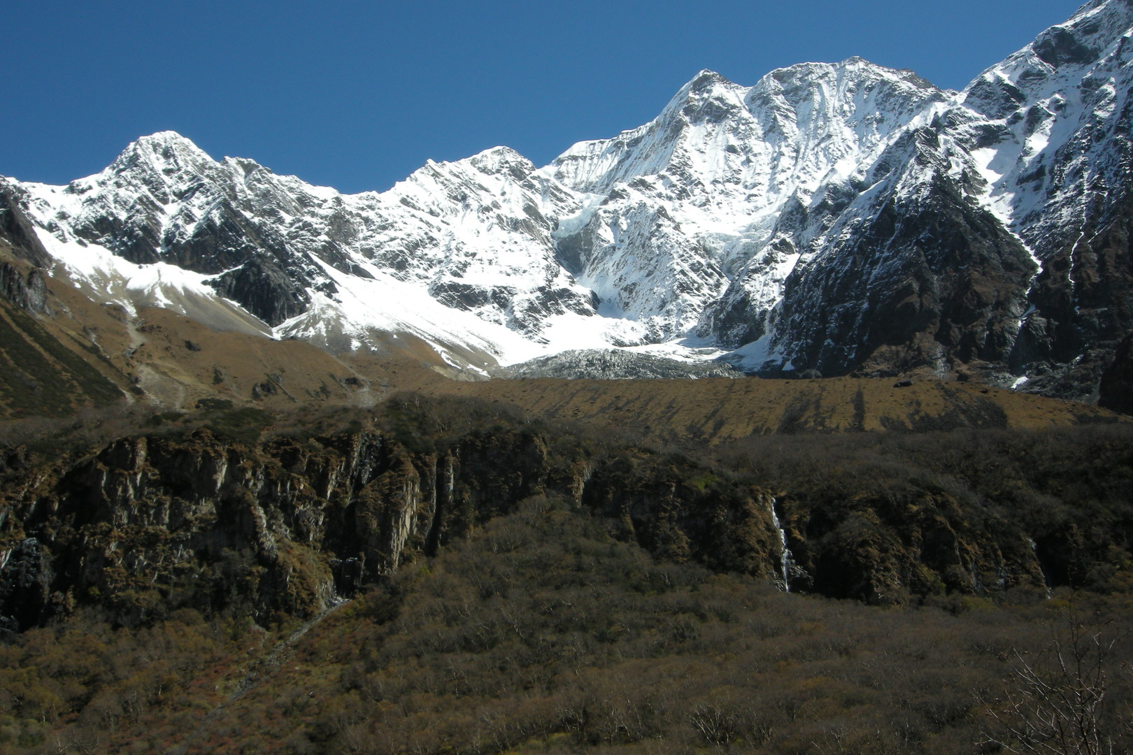
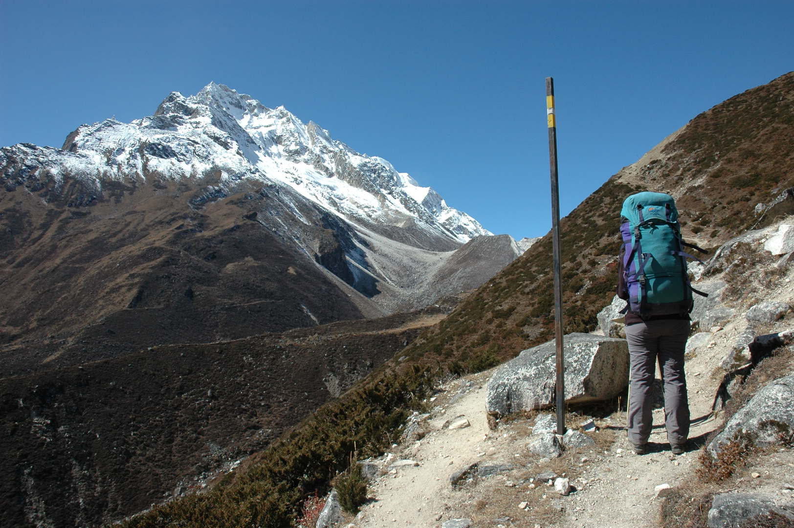
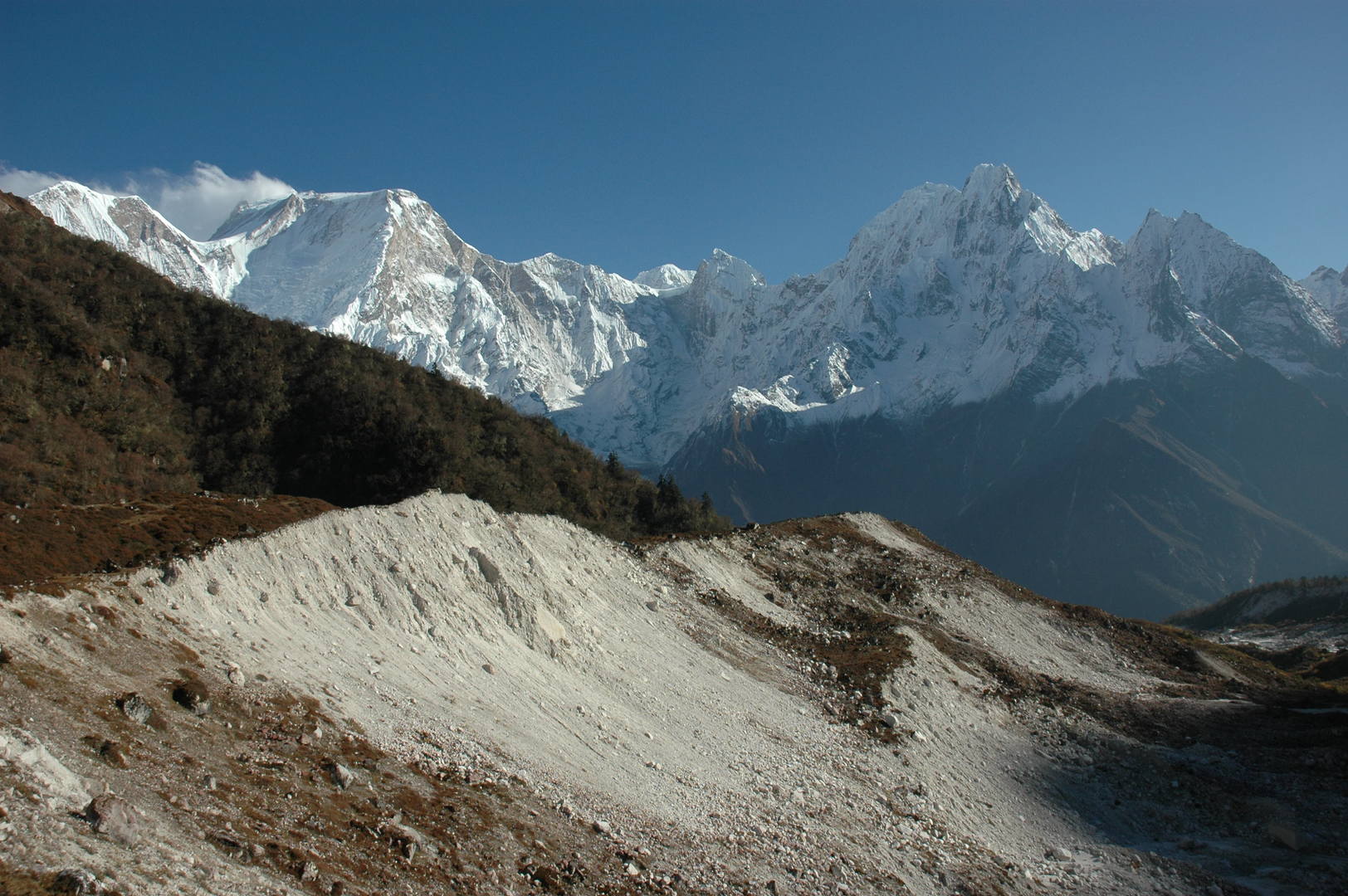
The Budhi Gandaki gorge by Pewa :: the view north :: the Tibetan border mountains
The Budhi Gandaki gorge by Pewa :: the view east :: the Ganesh Himal
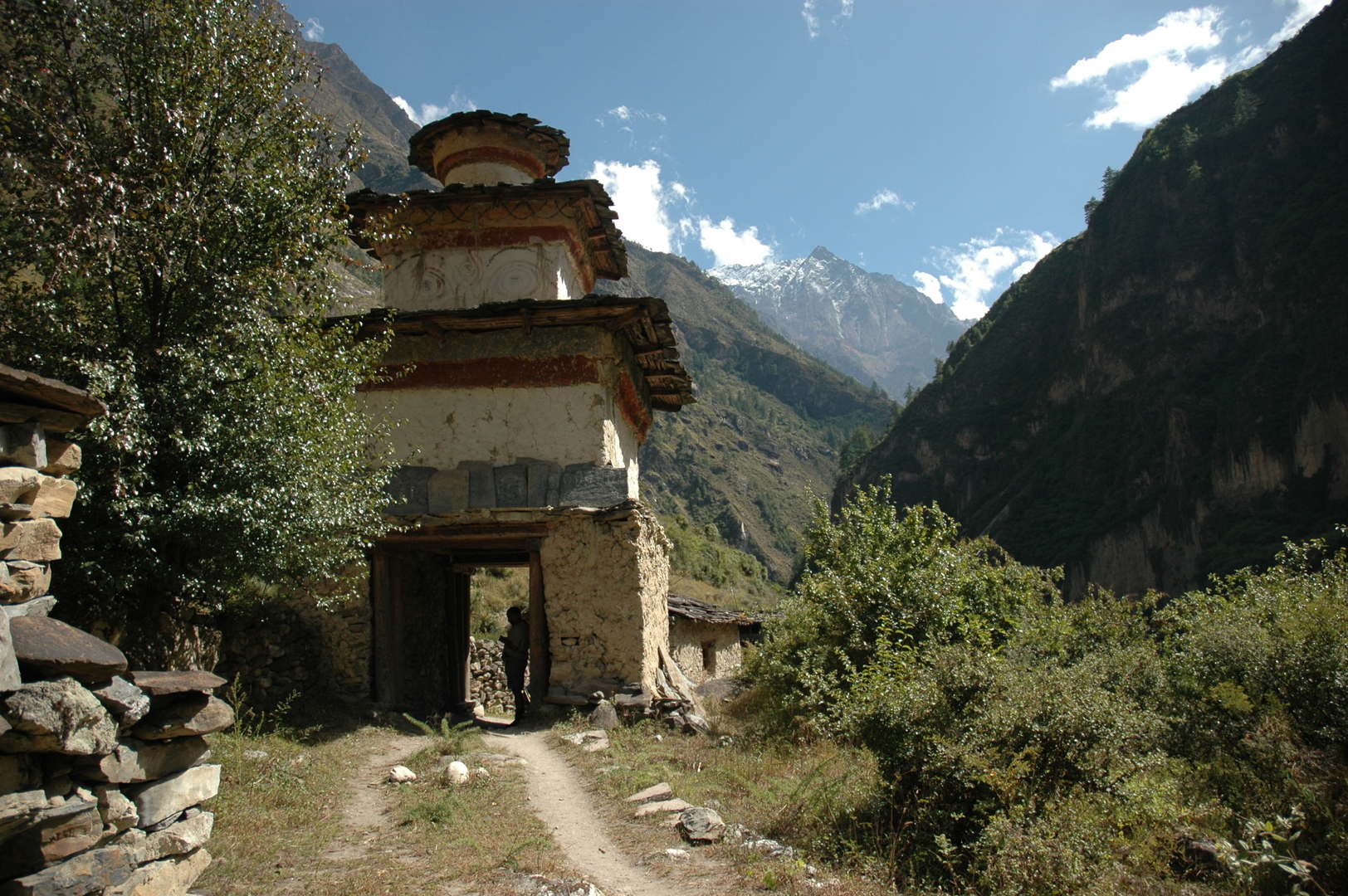
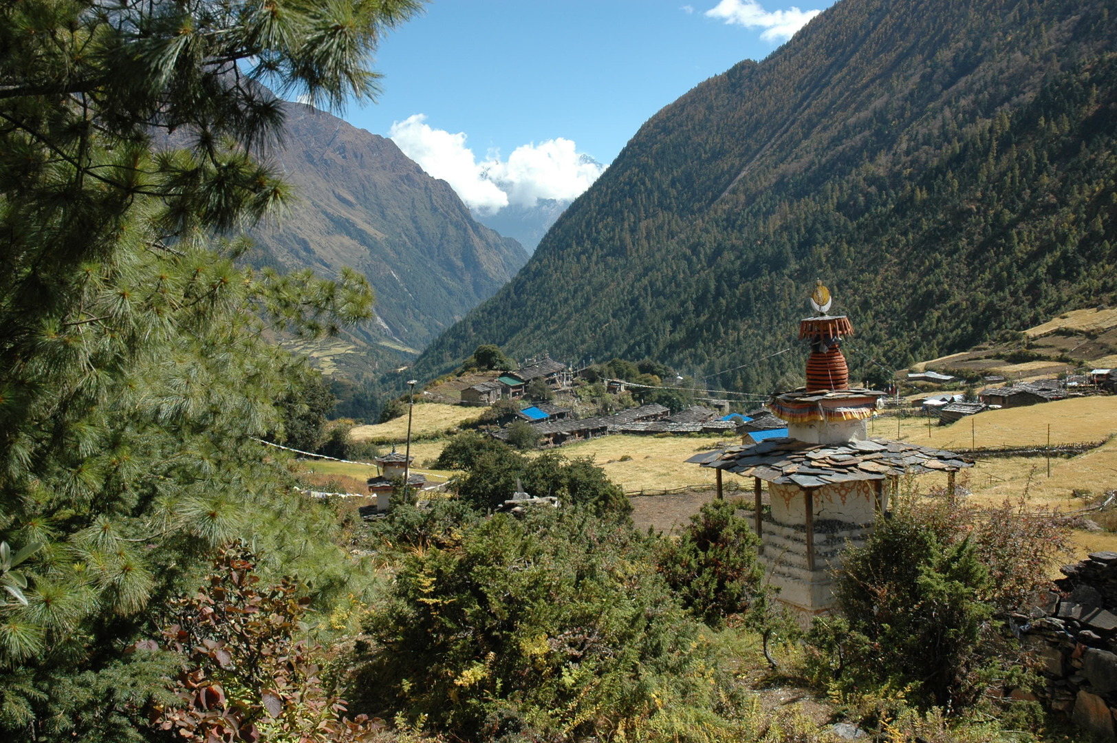
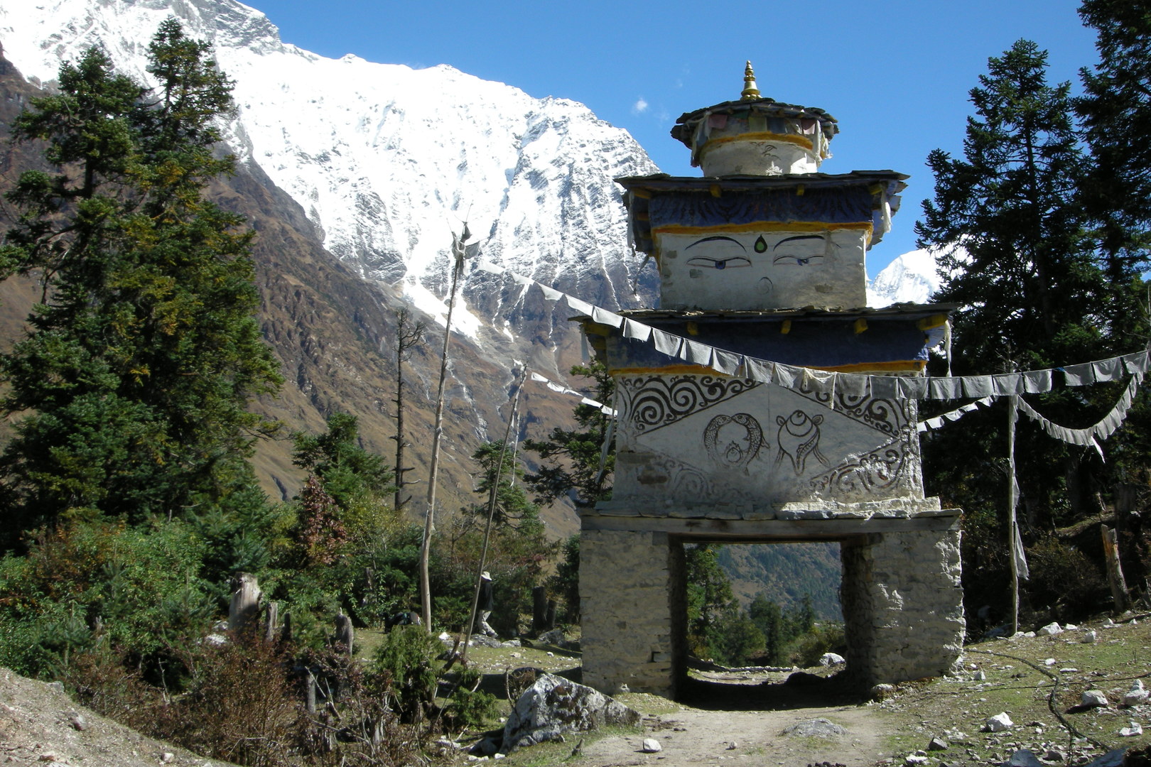
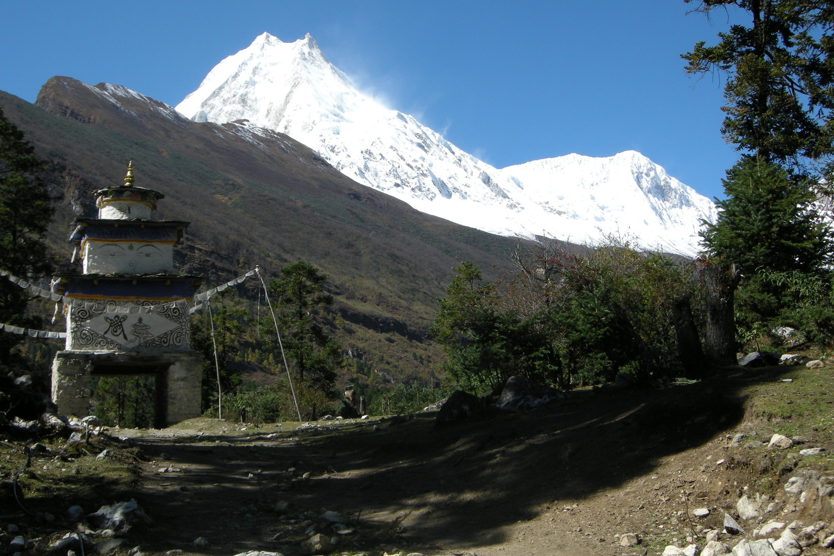
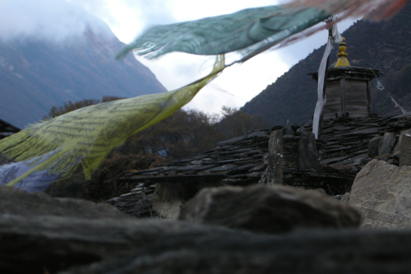
Deng :: the entrance chorten
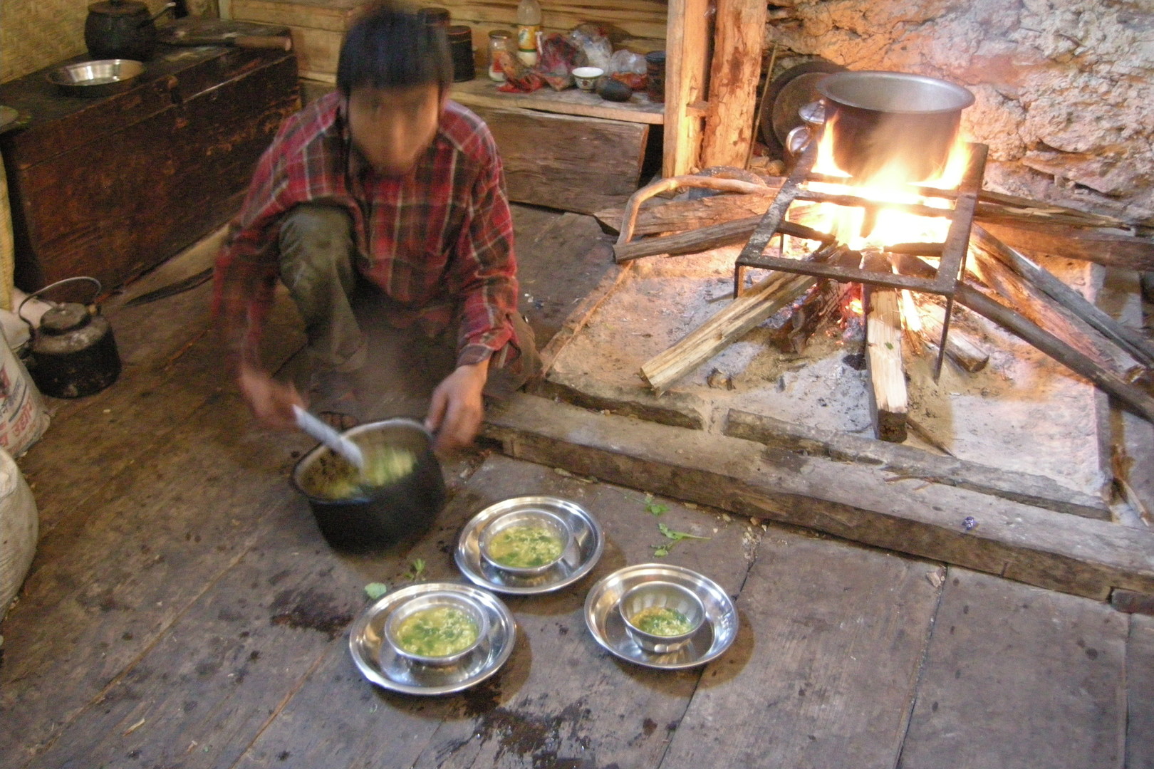
Deng :: the noodle soup is ready
Deng :: Namaste!
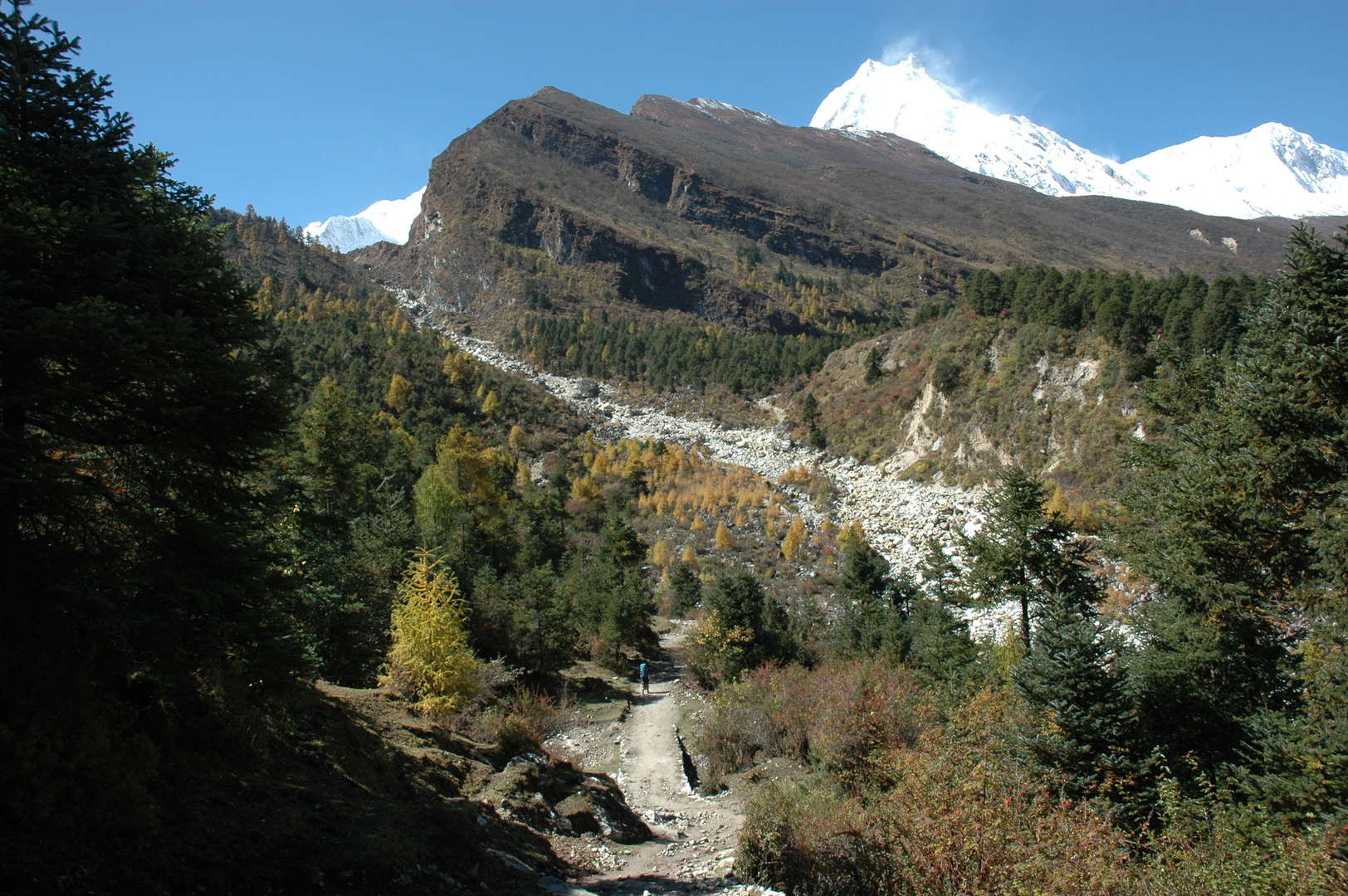
Ranagaon :: the third bridge and the trail from Deng
Ranagaon :: just climbed to the village, Deng fields behind
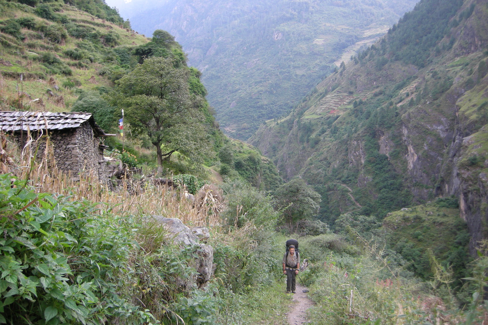
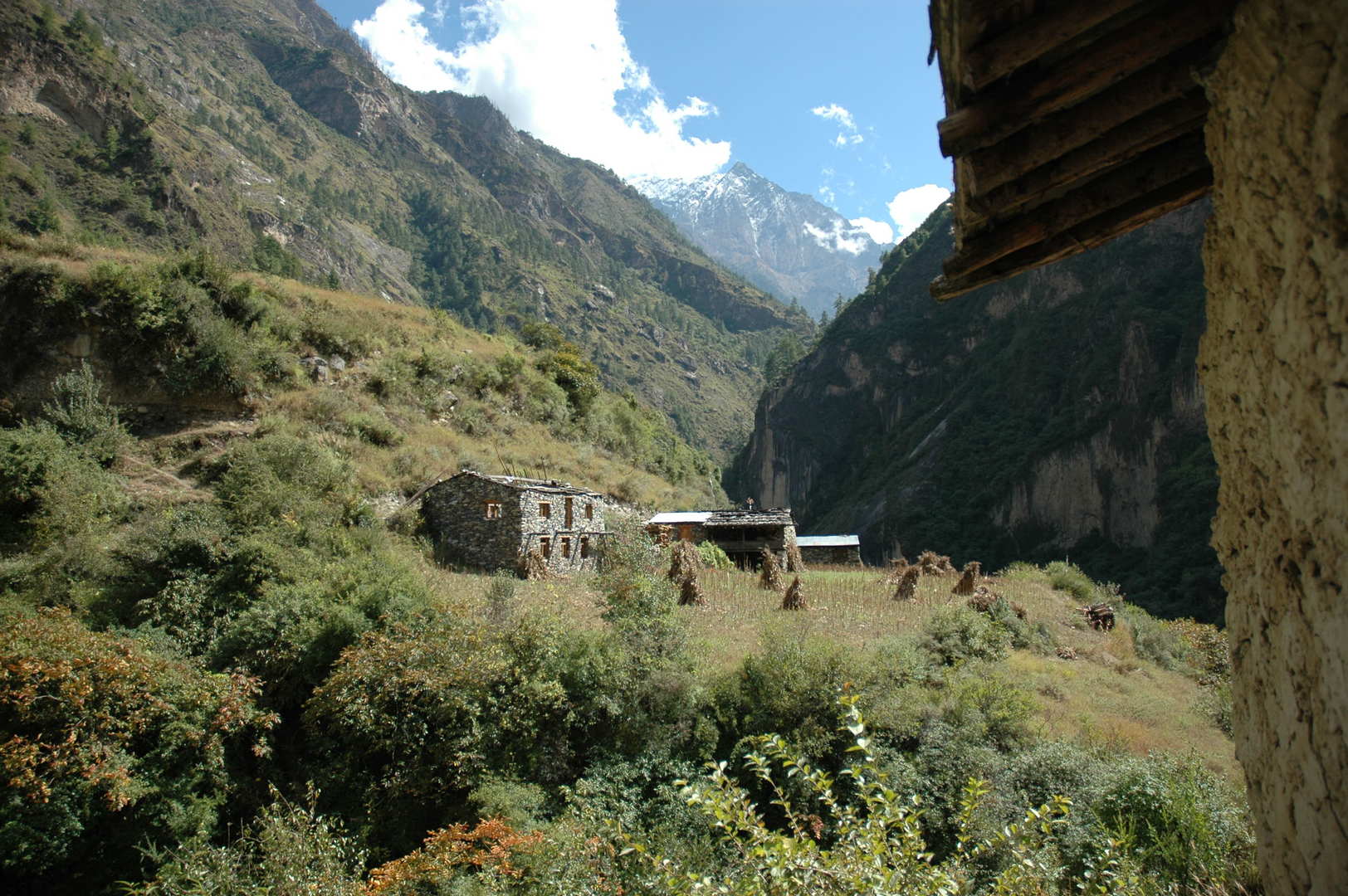
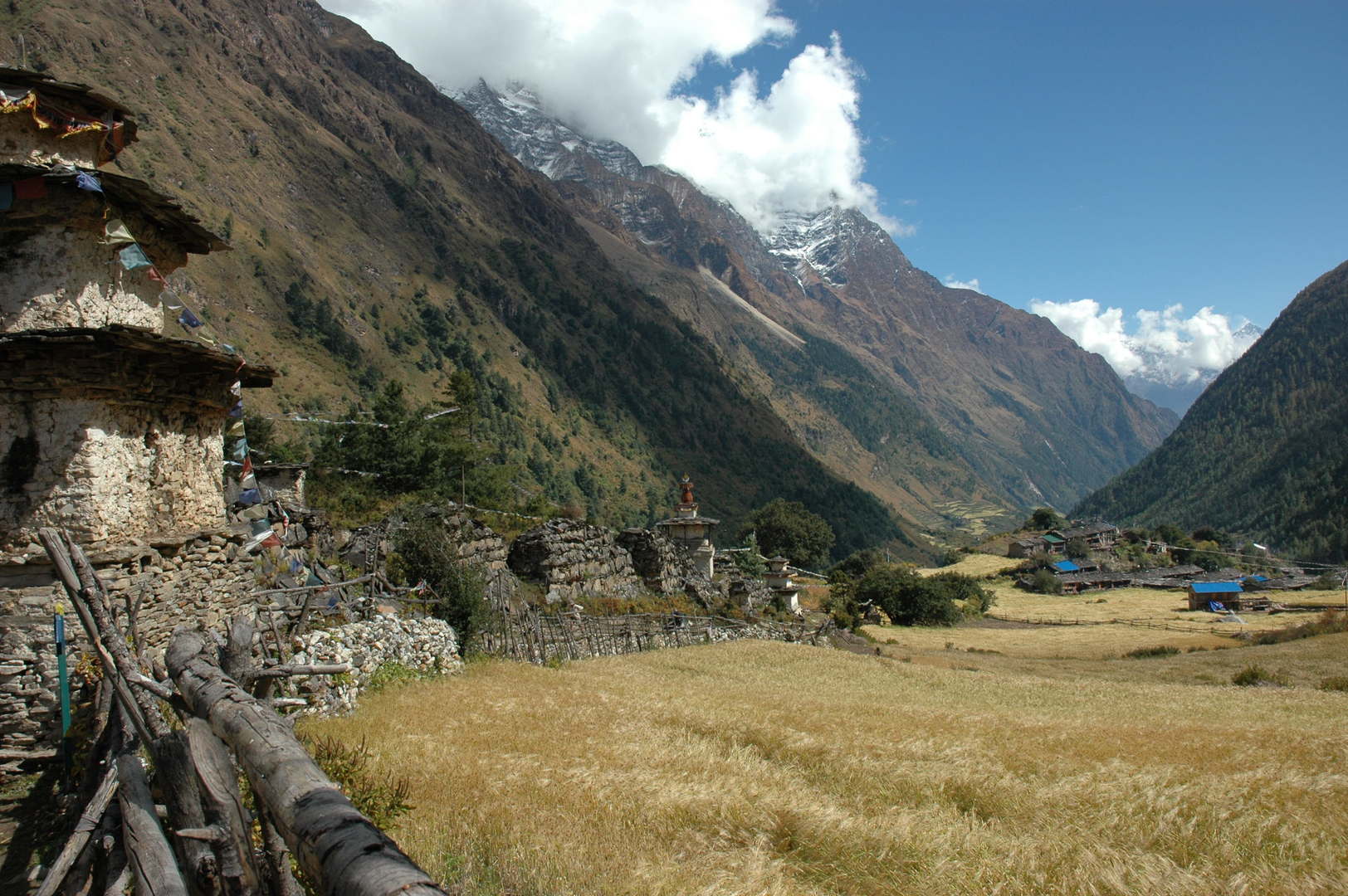
Bihi Phedi :: traversing to the bhatti in sight, the village of Sip on the other side
Bihi Phedi :: camped by a steep slope
Bihi Phedi :: repair in despair :: the stove clogged
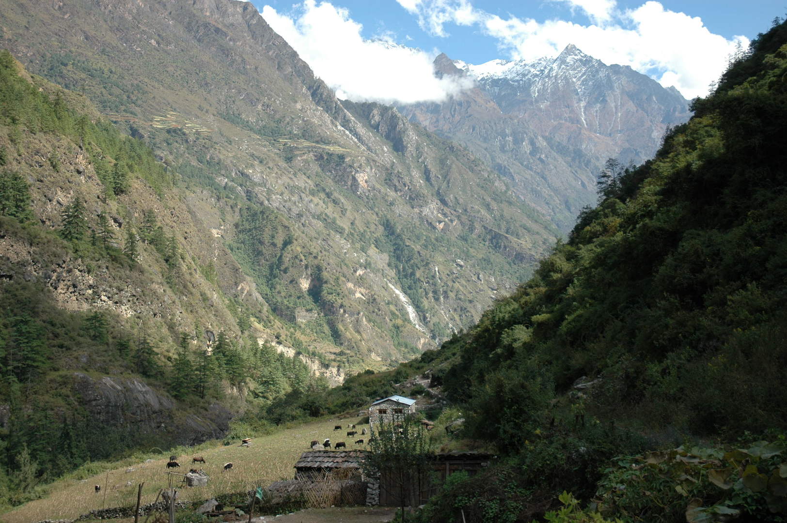
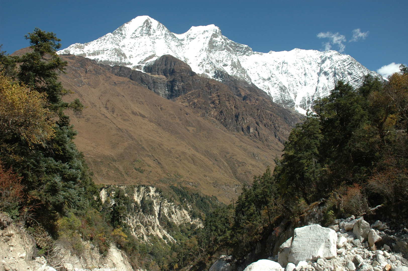
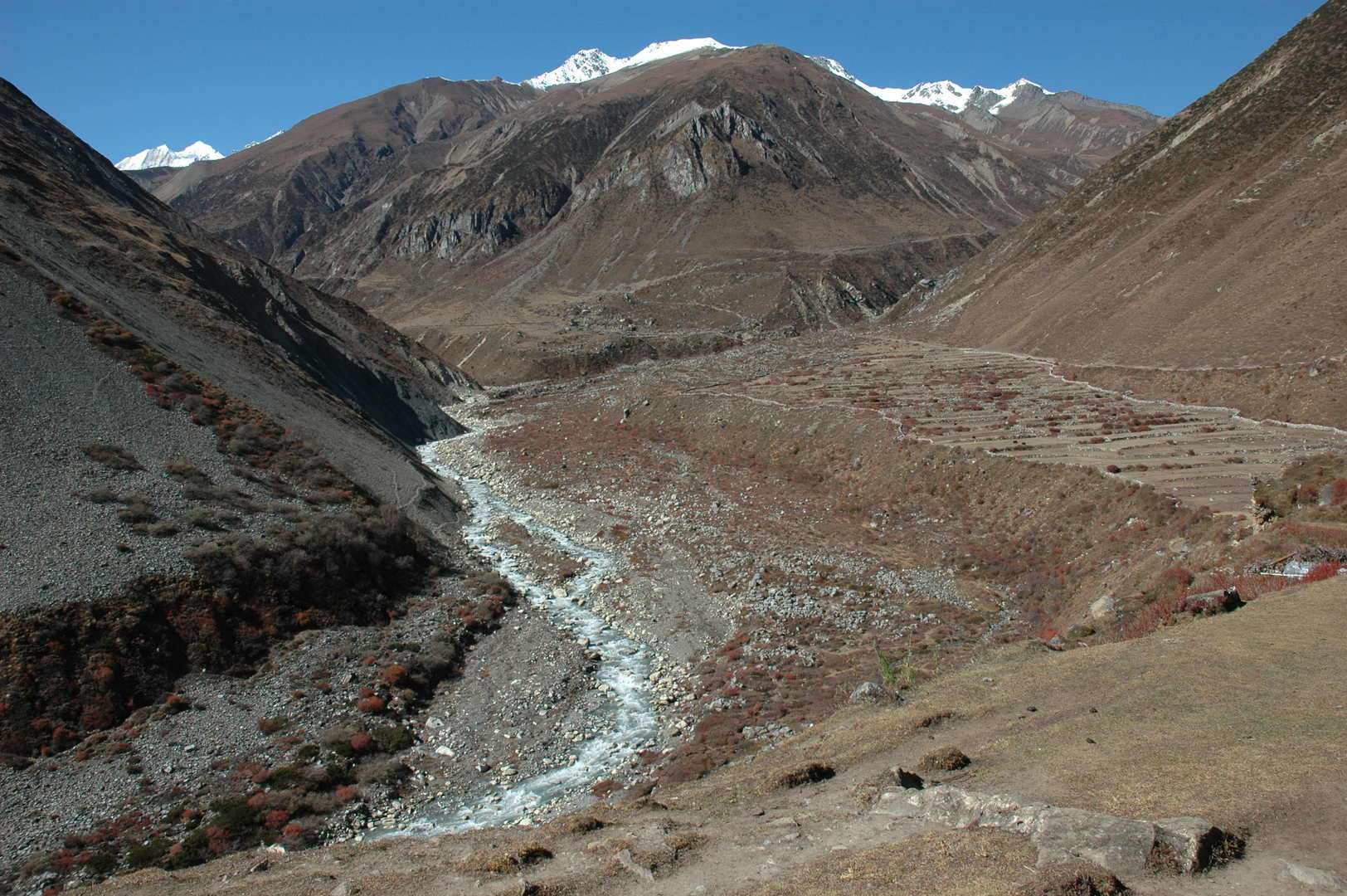
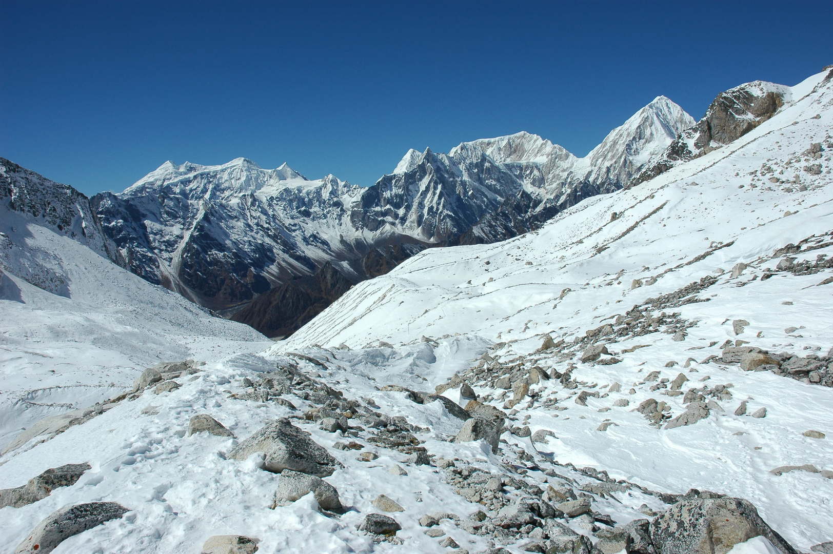
West of Bihi :: The Budhi Gandaki valley leads now westwards
West of Bihi :: looking north, up the Serang Khola gorge
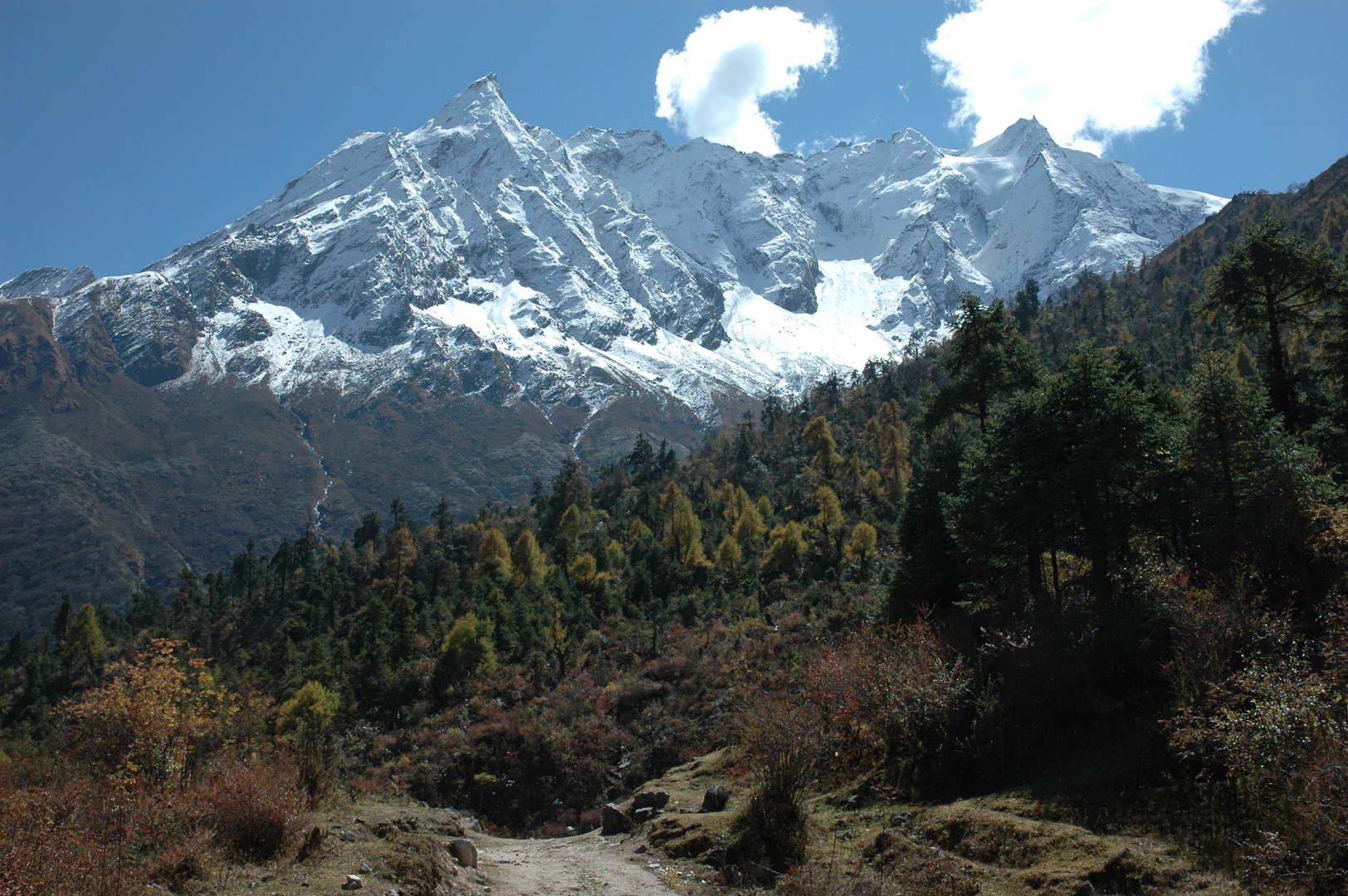
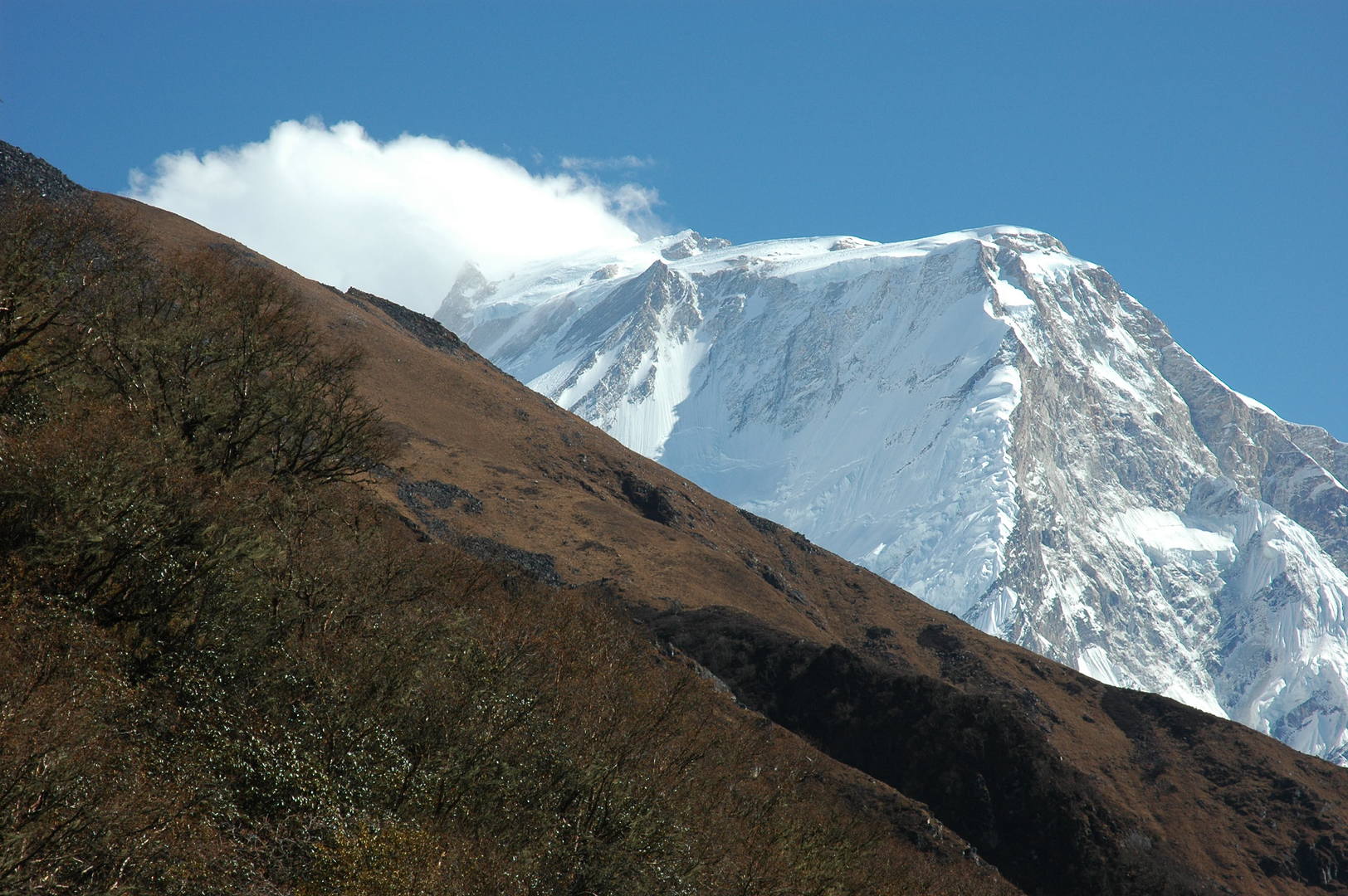
West of Bihi :: Dwijen Himal, mountains on the Tibetan border
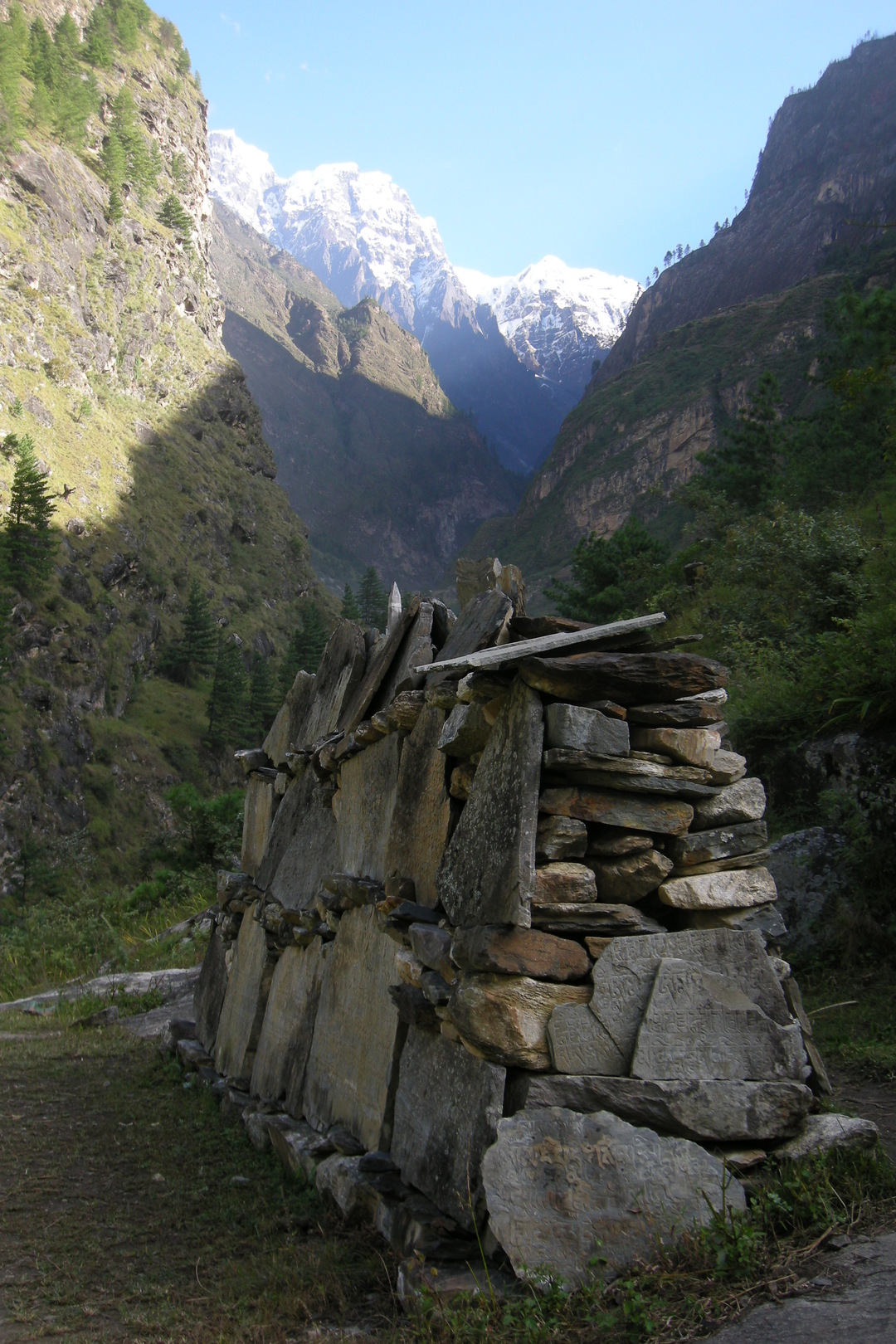
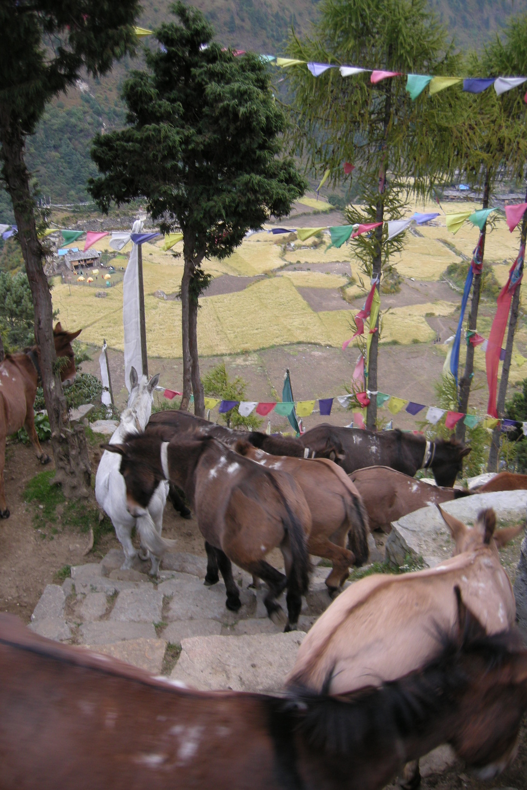
West of Bihi :: mani walls are already everywhere
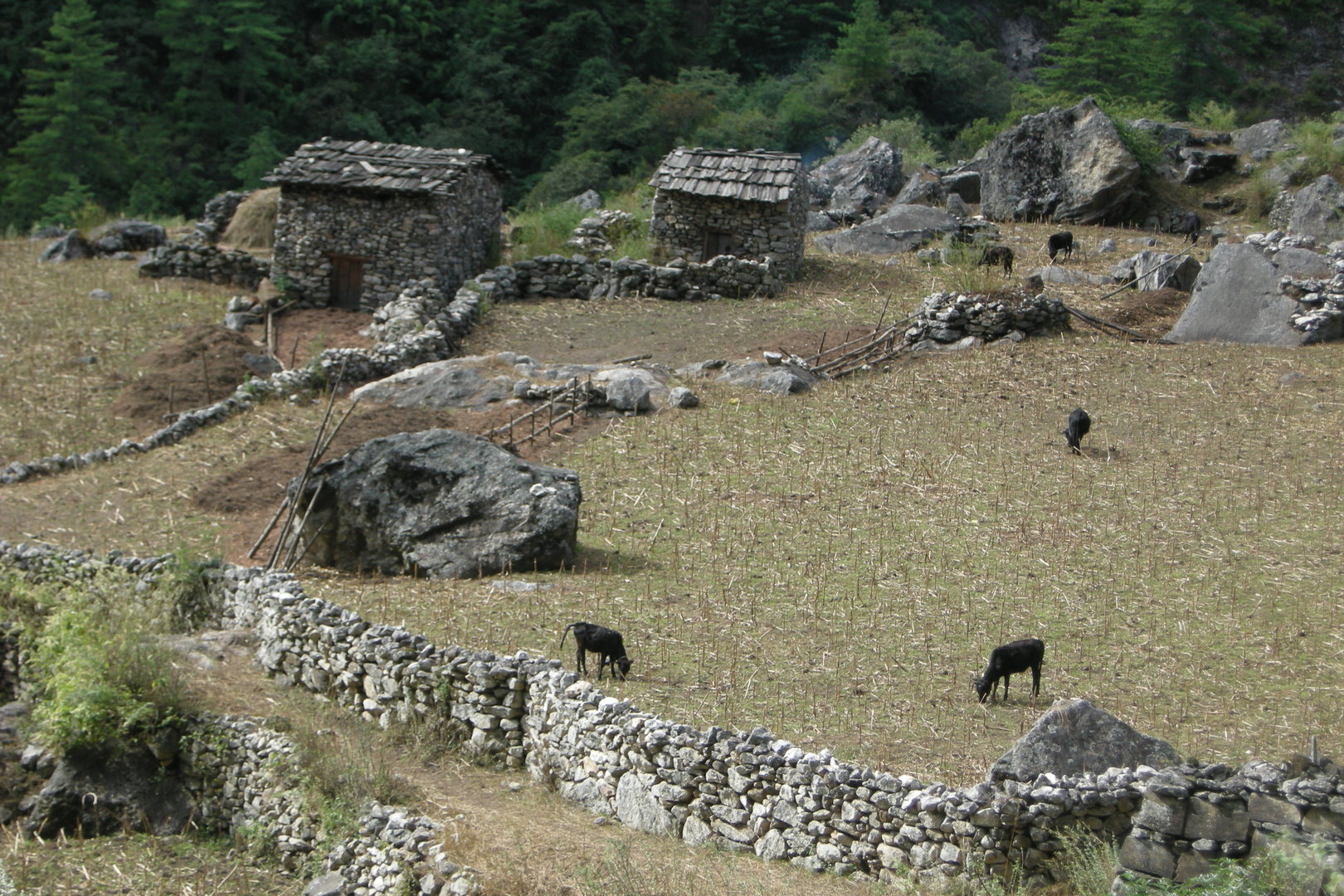
Bur :: fields
Bur :: a mani wall decorations…
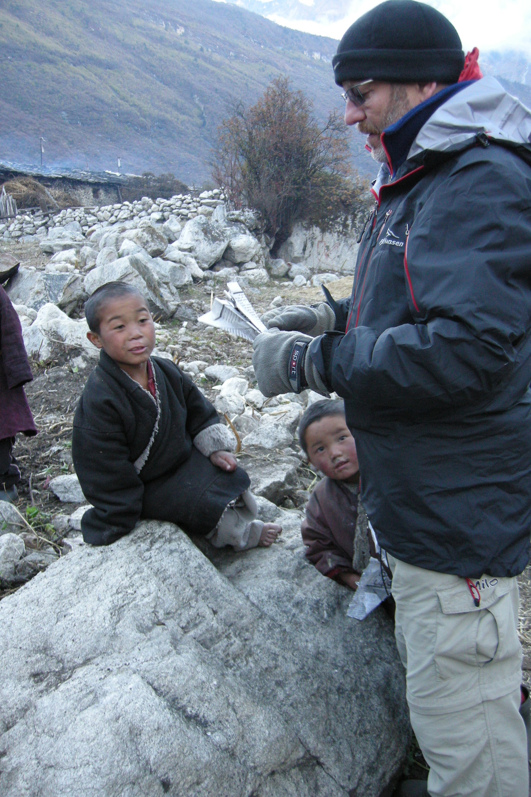
Bur :: children, balooned
Approaching Ghap
Approaching Ghap
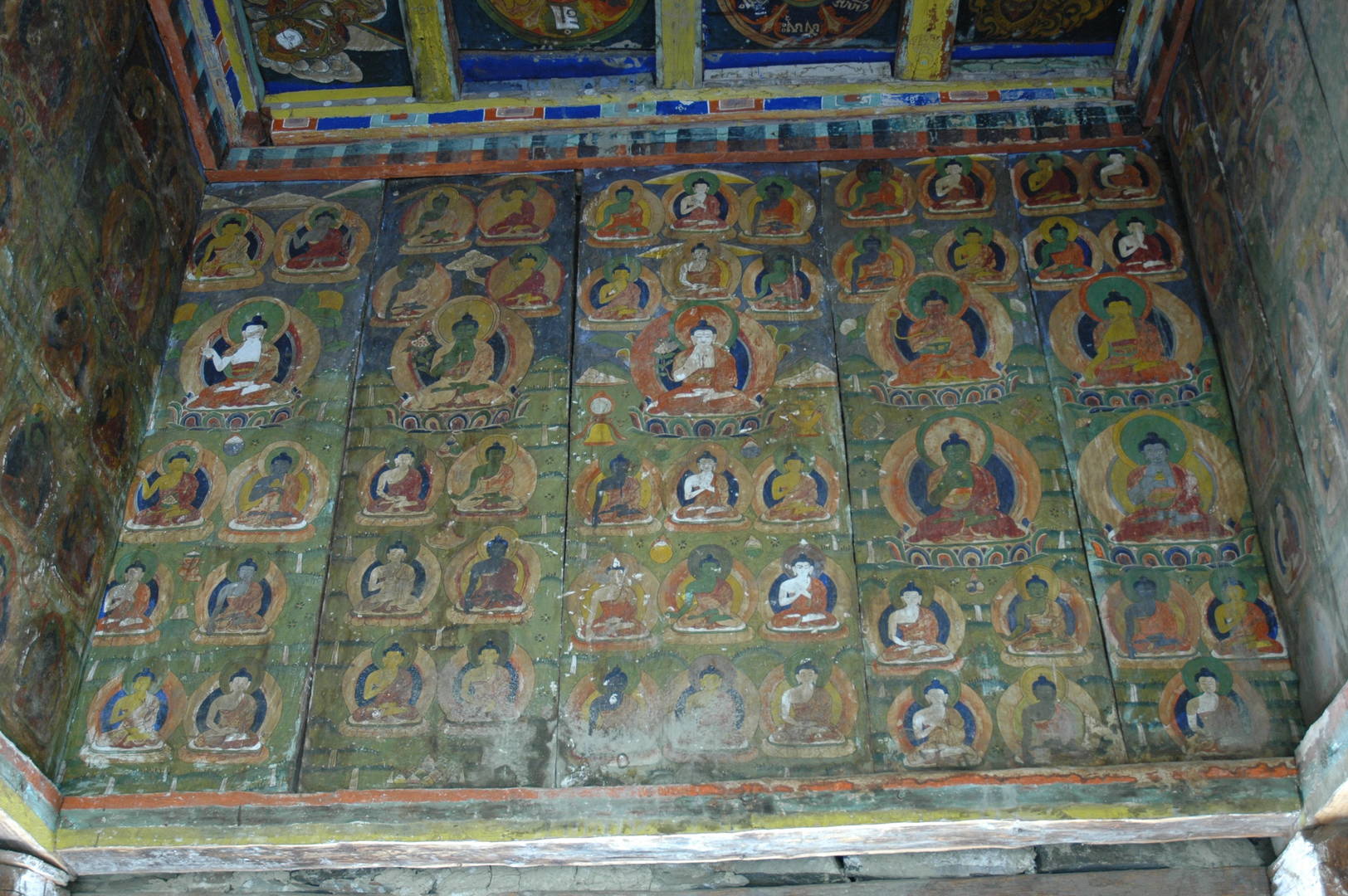
Ghap :: the exit chorten to the west
Ghap :: the exit chorten to the west :: paintings
Ghap :: looking east
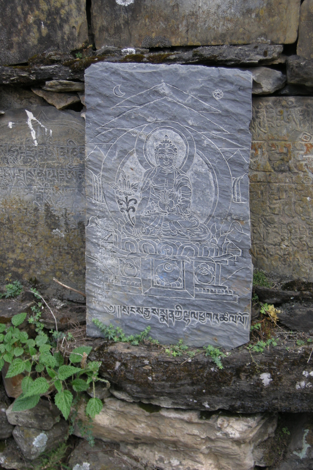
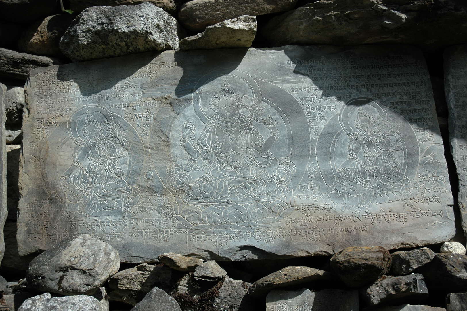
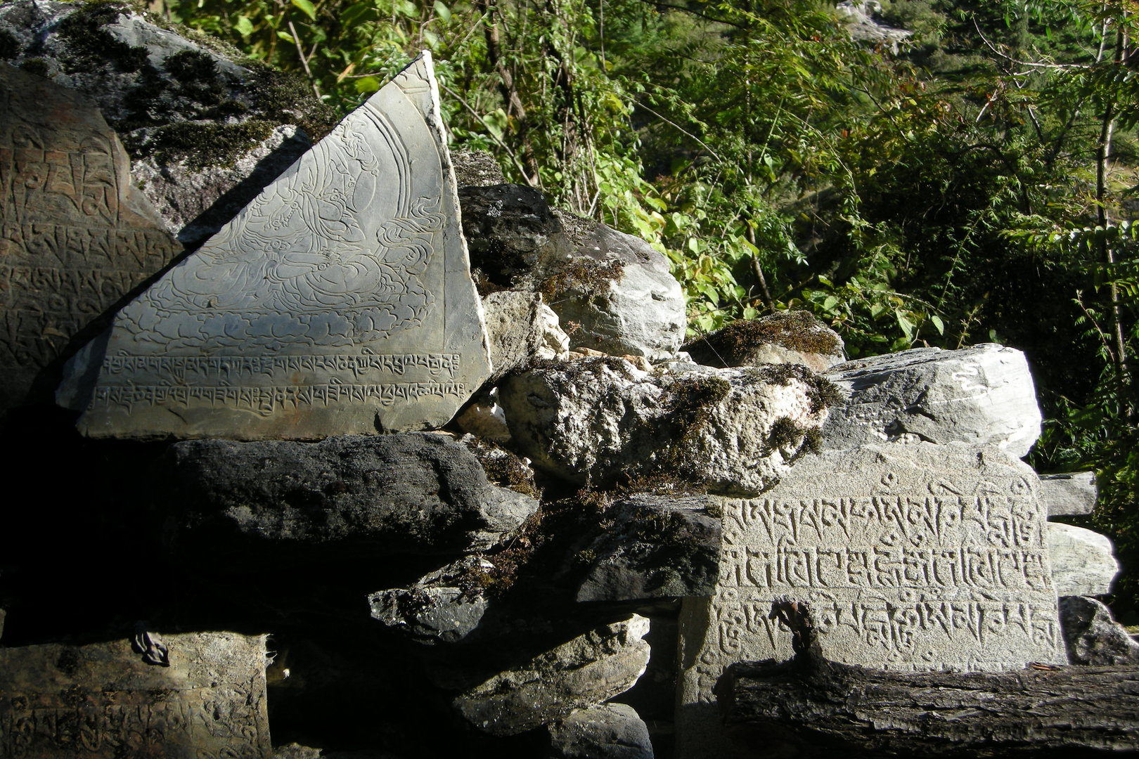
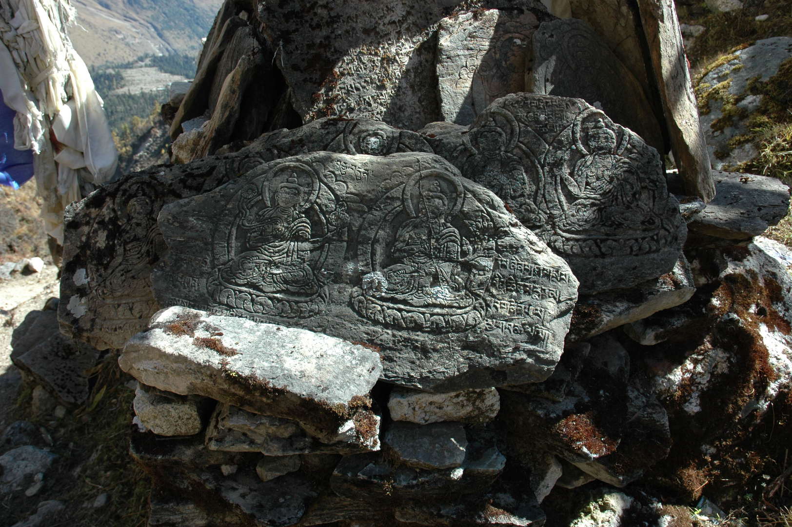
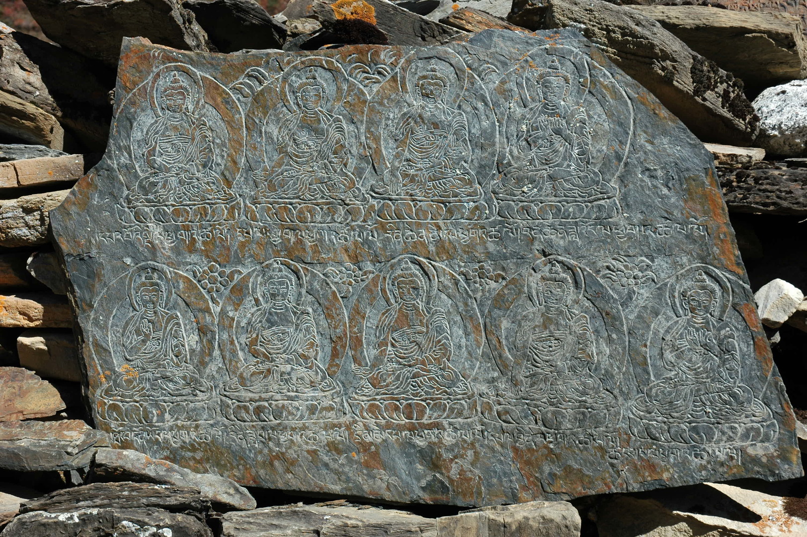
Ghap :: fine carvings on a mani wall :: Taras
Ghapsya :: fine carvings on a mani wall :: Tara
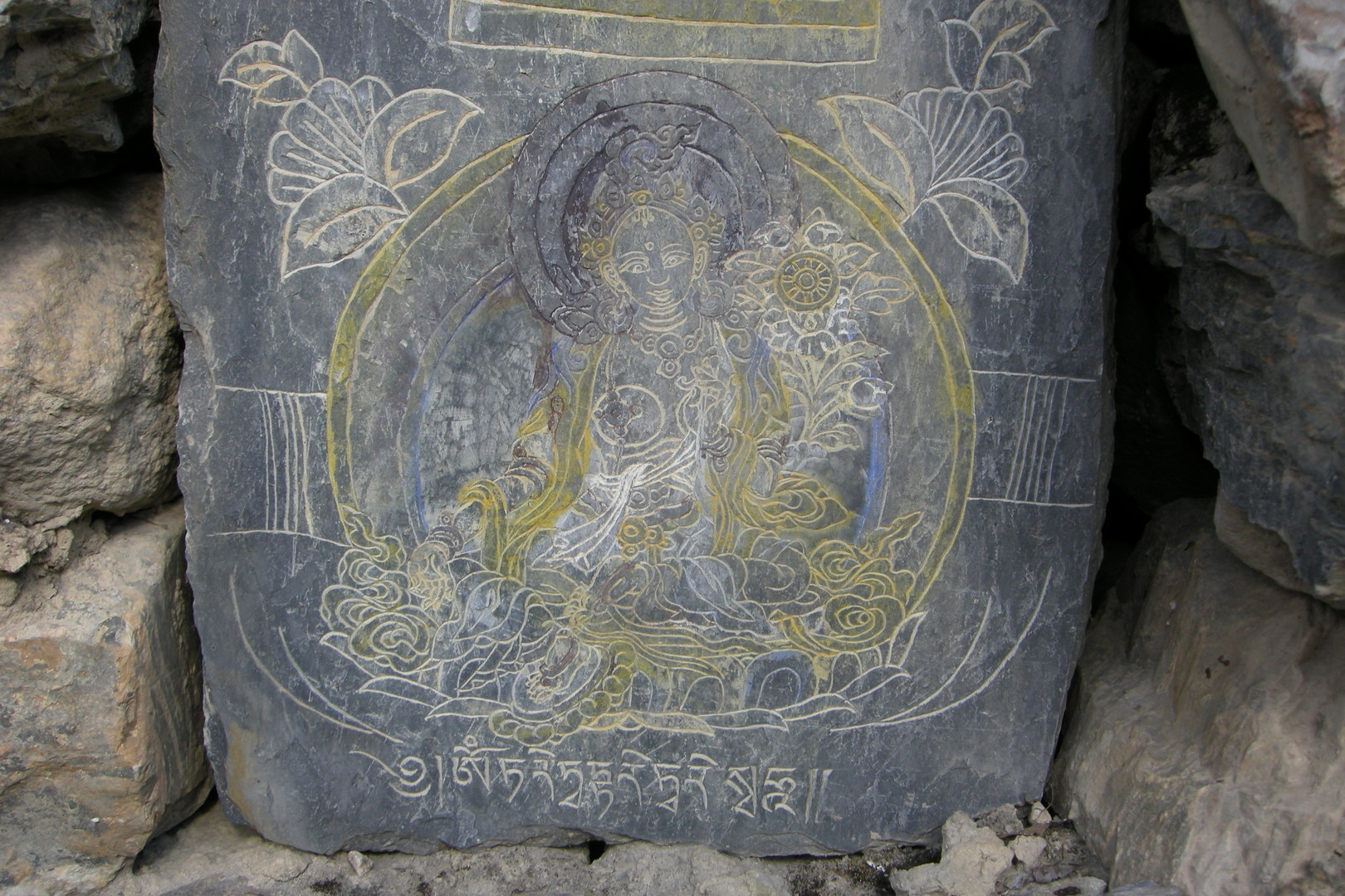
Ghapsya :: fine carvings on a mani wall :: Buddhas
Ghapsya :: fine carvings on a mani wall :: the holy texts…
Ghapsya :: mountains north of Gap – Tanji Himal
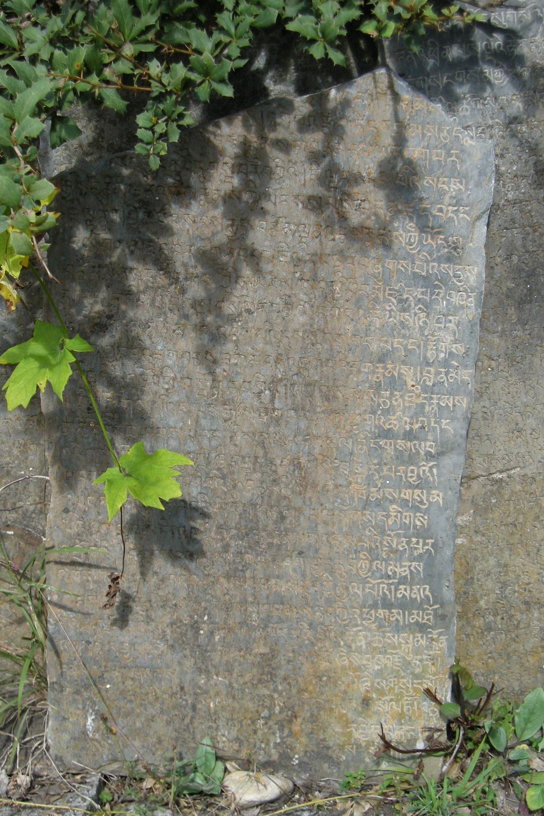
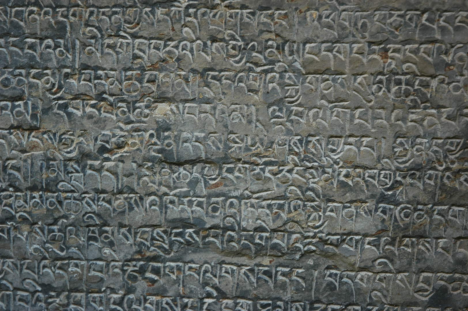
Ghapsya :: scripture…
Ghapsya :: and the vein…
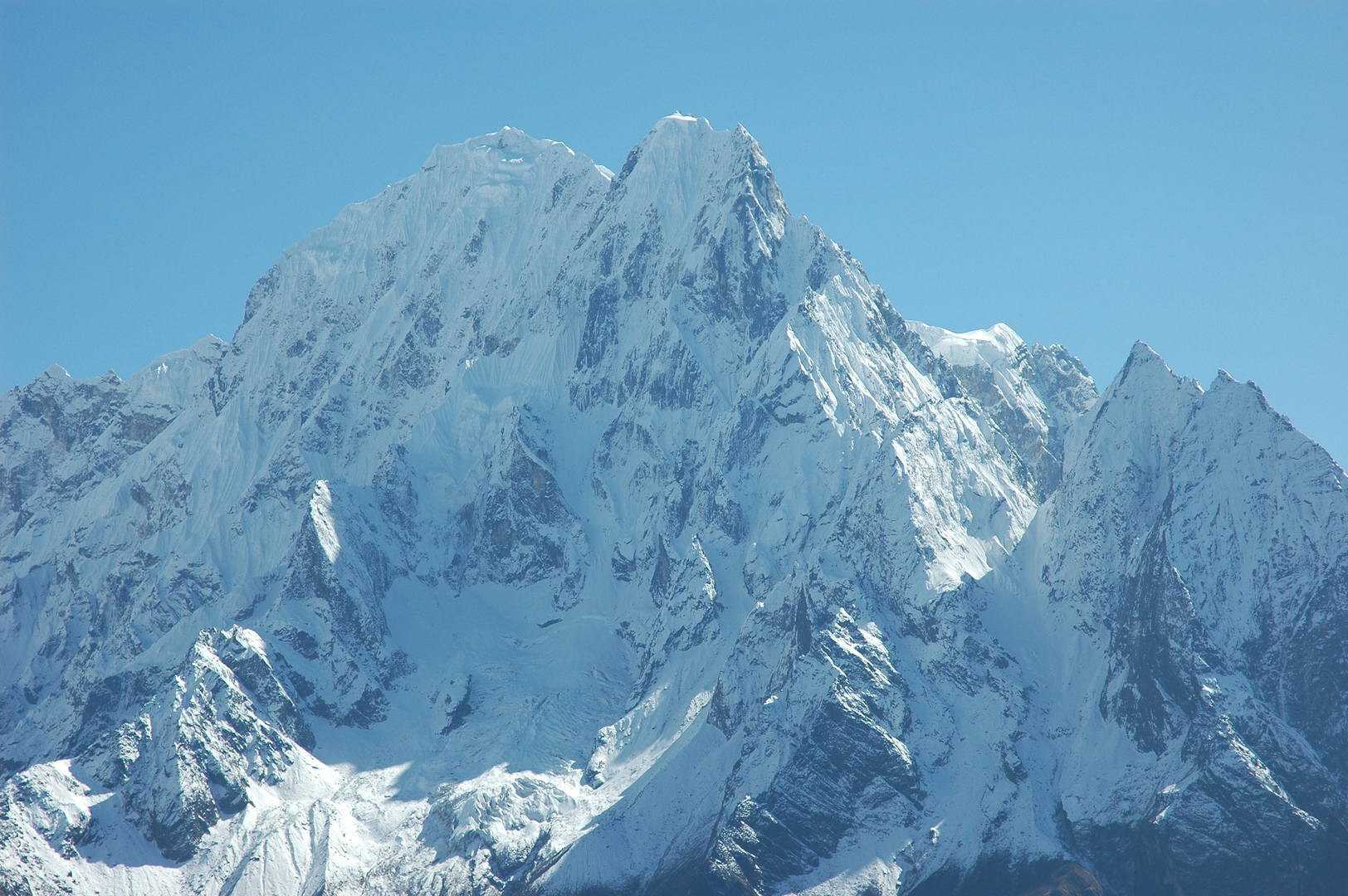
Ghapsya :: looking east :: the Sringi Himal
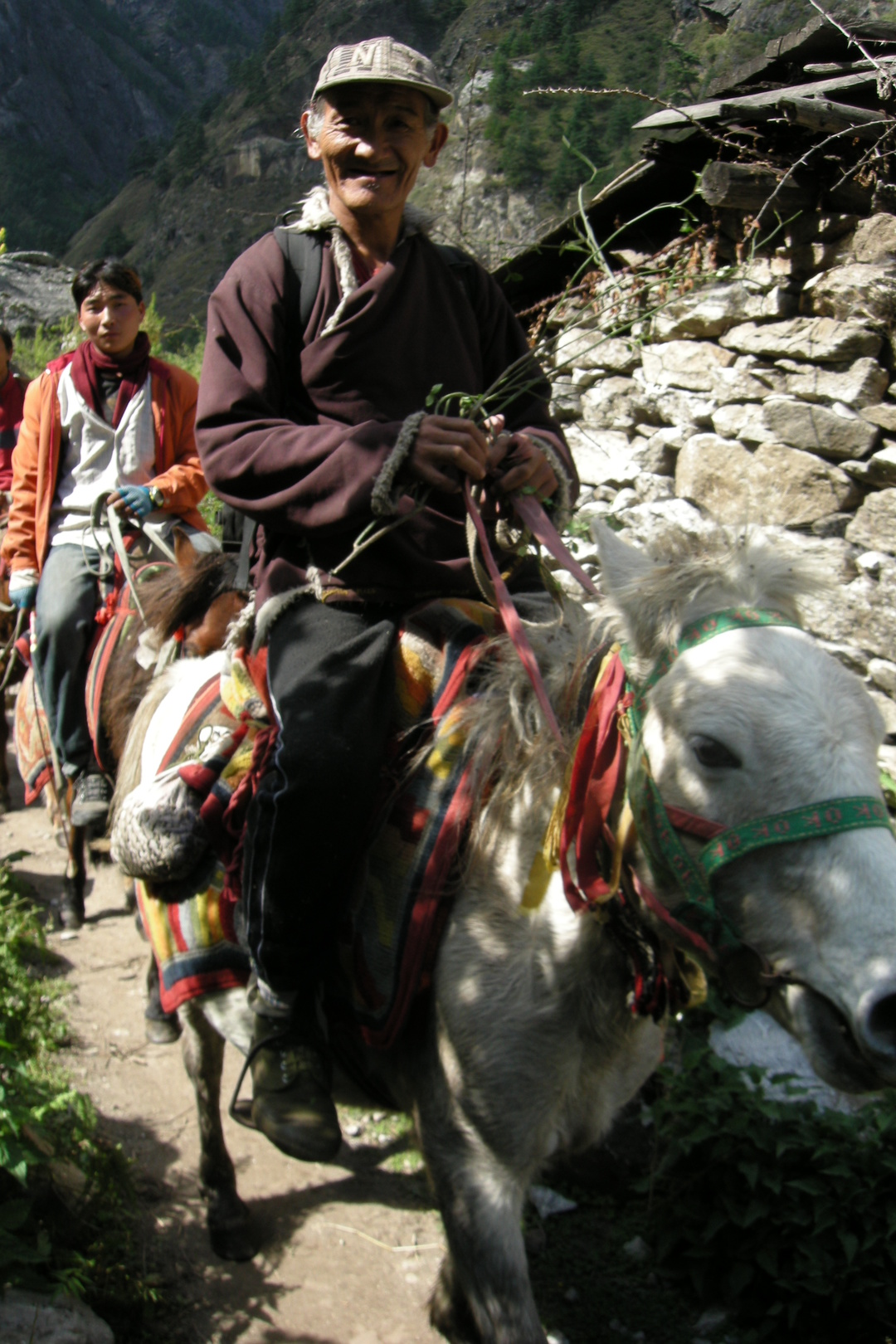
Ghapsya :: riders
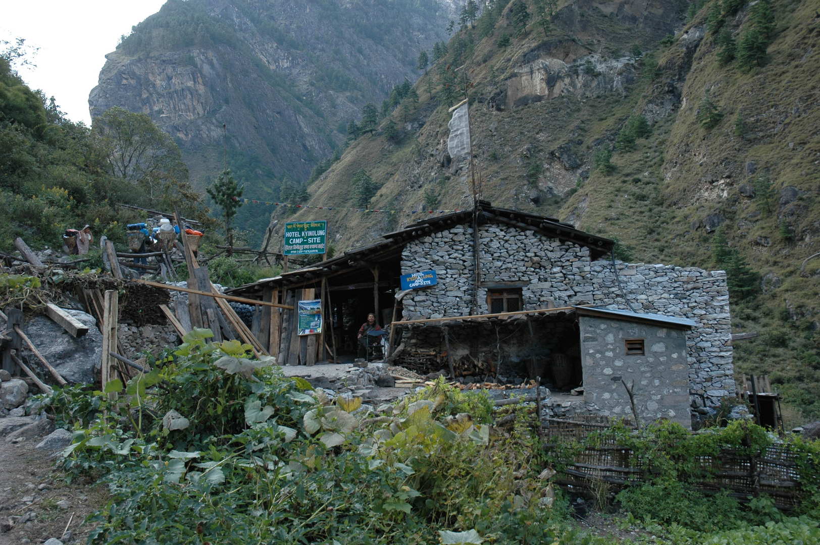
Ghapsya :: Hotel Kyimolung :: get involed: www.projectlama.org
Ghapsya :: Hotel Kyimolung :: household
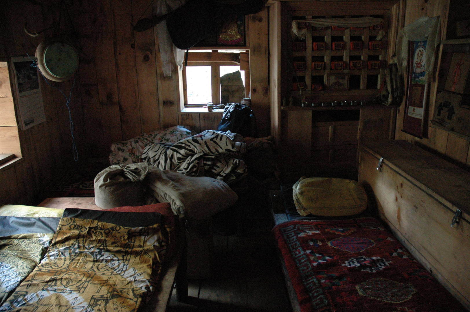
Ghapsya :: Hotel Kyimolung :: sleeping in the prayer room
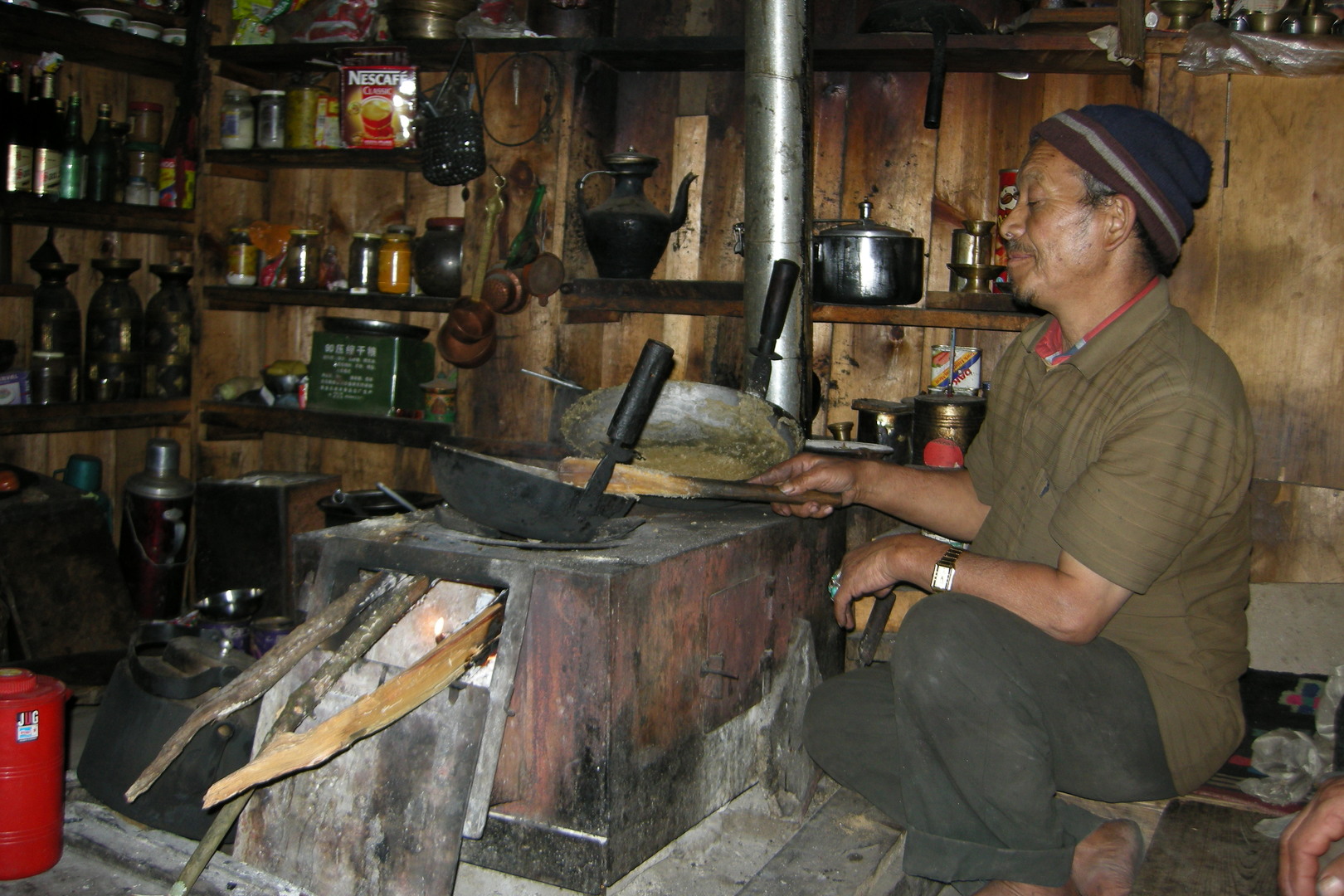
Ghapsya :: Hotel Kyimolung :: cooking happily
Opposite the Tom Khola valley :: its upper part in Tibet
Opposite the Tom Khola valley :: mani walls
By Thorje :: the bridge almost without railings to the left Buddhi Gandaki bank
By Thorje :: the famous natural arch bridge
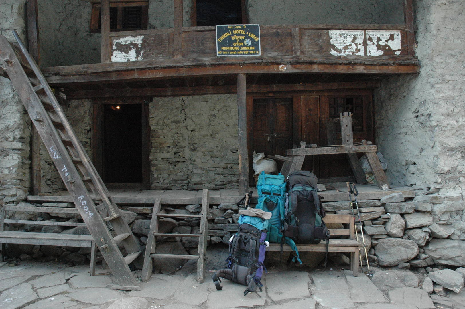
The Budhi Gandaki valley east of Namrung :: back to the right bank
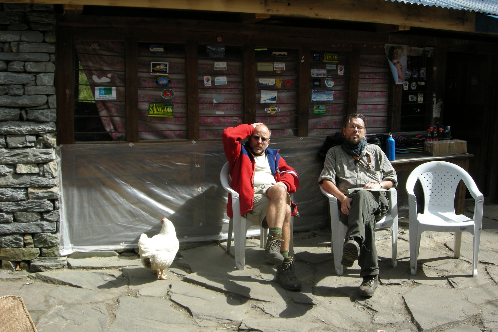
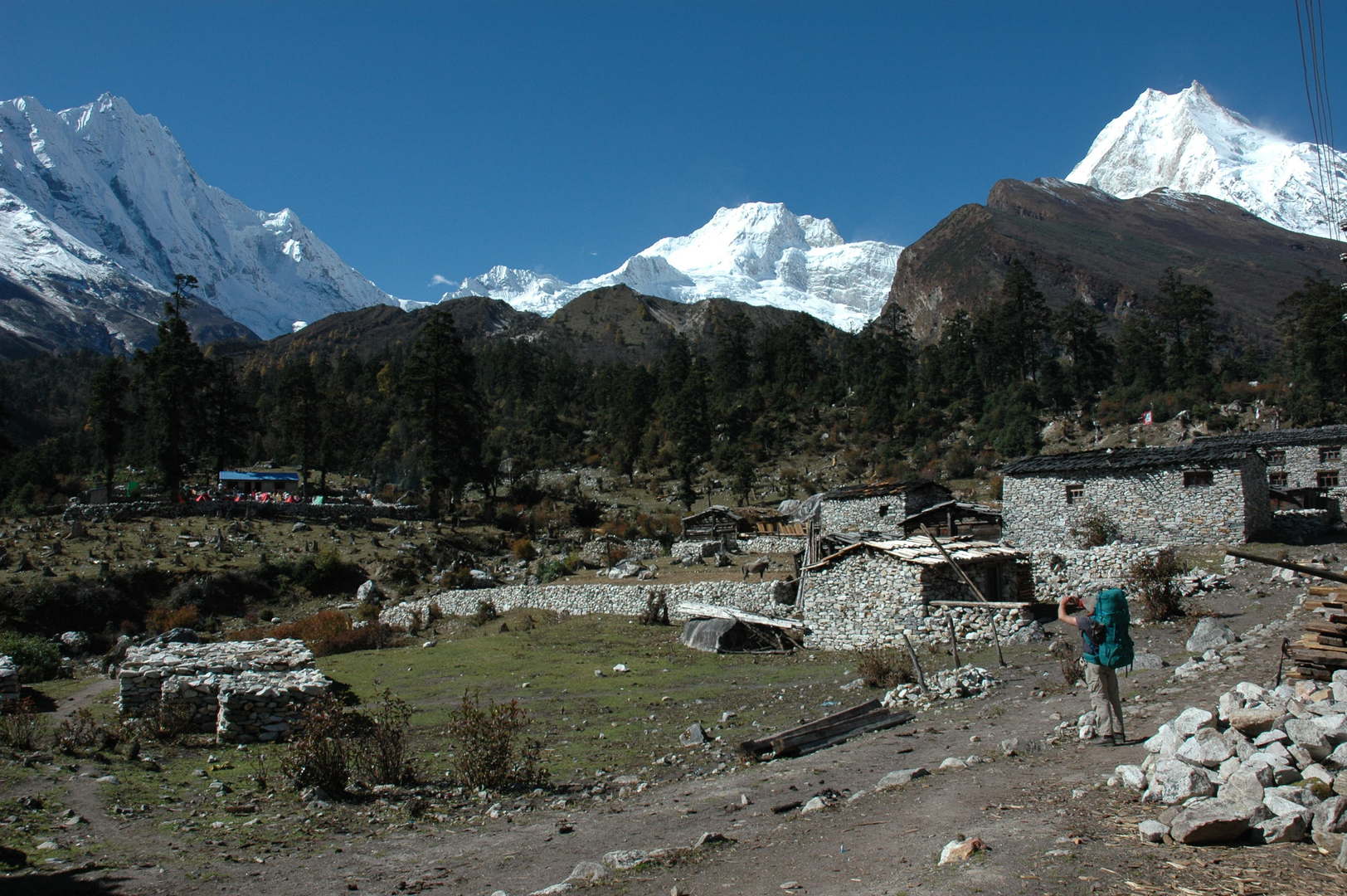
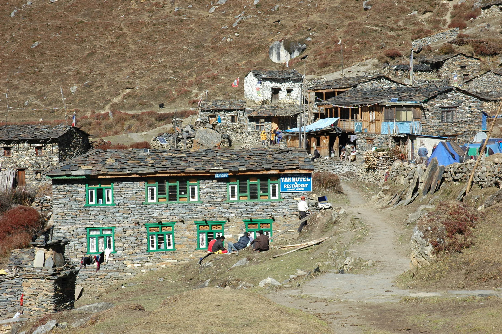
Namrung :: arrived for a lunch
Namrung :: seated comfortably
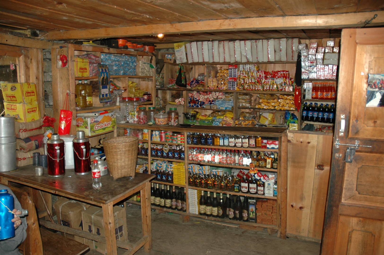
Namrung :: the rich lodge shop
Bharjang :: mani walls
Bharjang :: fields with guarding platforms
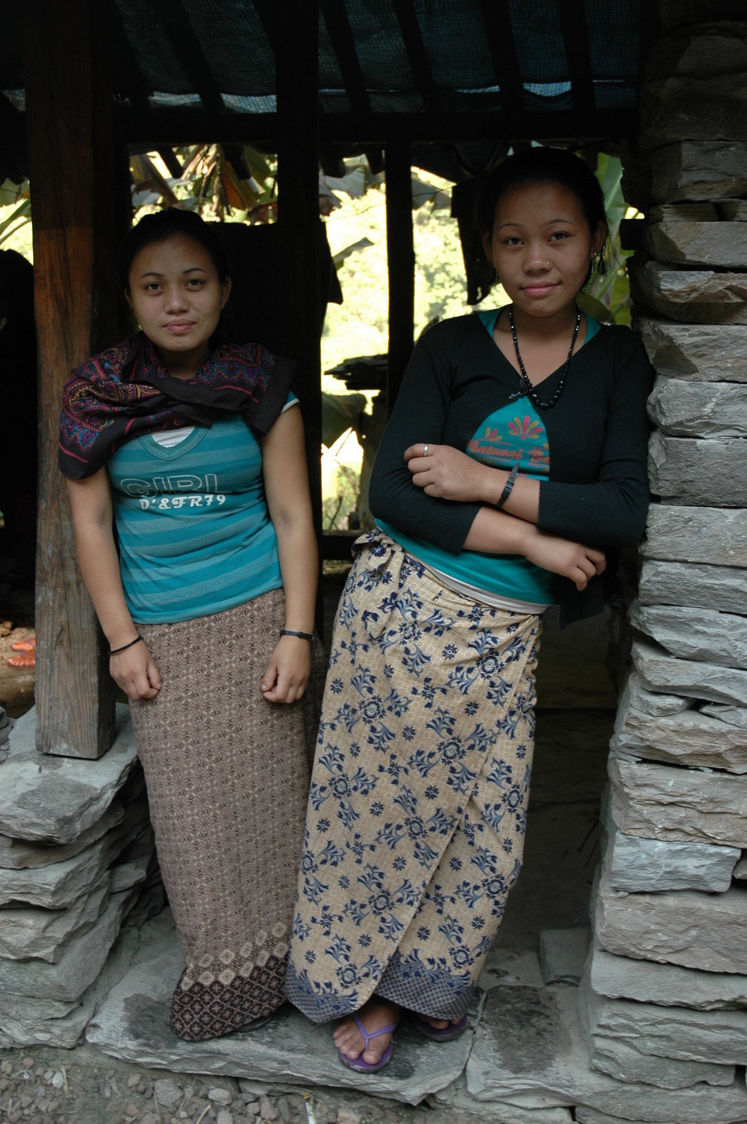
Bharjang to Lihi :: girls
Bharjang to Lihi :: one of the girls
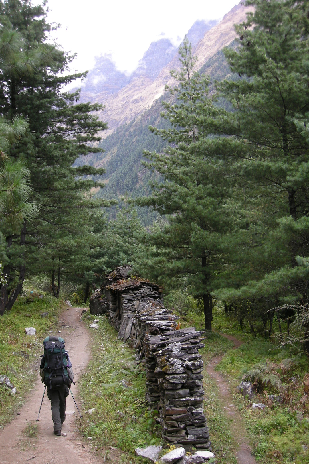
Bharjang to Lihi :: a forest stretch
Lihi :: entering the village
Lihi :: the village gompa
Lihi :: houses
Lihi :: houses
Lihi :: houses
Lihi :: in the village
Lihi :: in the village
Lihi :: in the village
Lihi :: at a chautraraa
Lihi :: autumn
Lihi :: autumn
Lihi :: our lodge, we slept in the shop building to the right
Lihi :: begging children
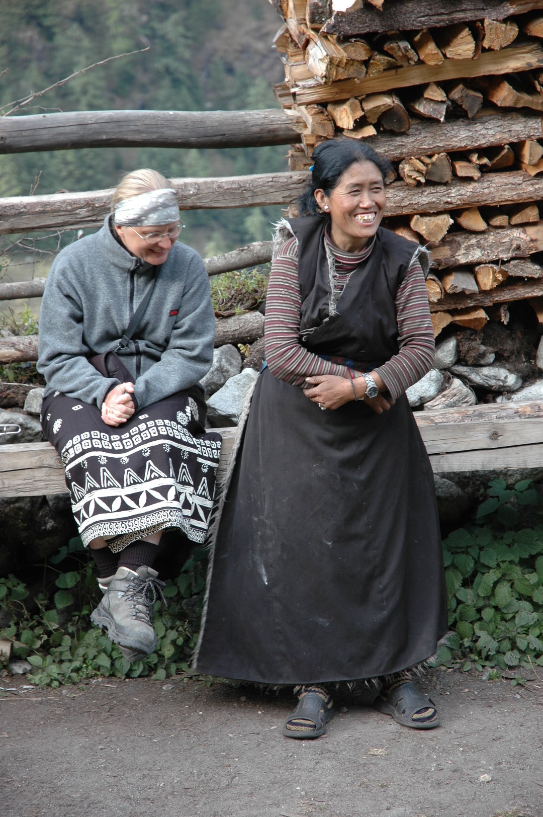
Lihi :: laughing with the lodge owner
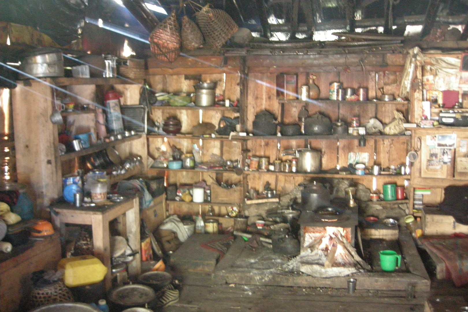
Lihi :: our hostess kitchen
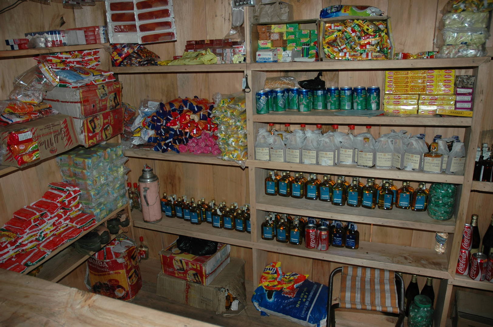
Lihi :: the shop we have slept in
Lihi :: if they do care to smuggle, we do care to drink
Lihi :: clouds gather in the Hinang valley
Kutang Himal in the morning
Syogaon :: looking back towards Lihi
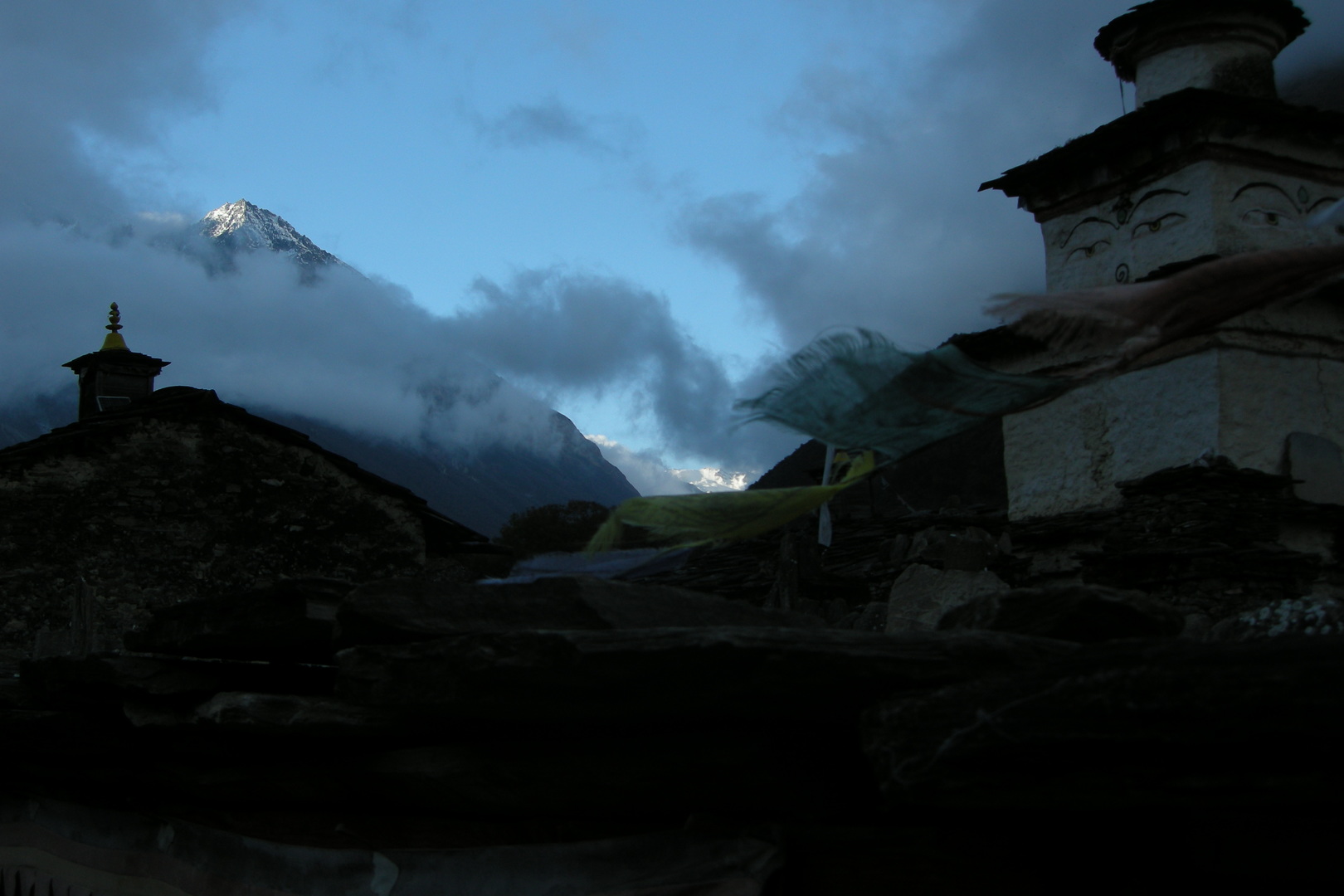
Syogaon :: the entrance chorten
Syogaon :: the entrance chorten :: Kutang Himal
Syogaon :: the entrance chorten :: Kutang Himal, autumn colours
Syogaon :: harvest
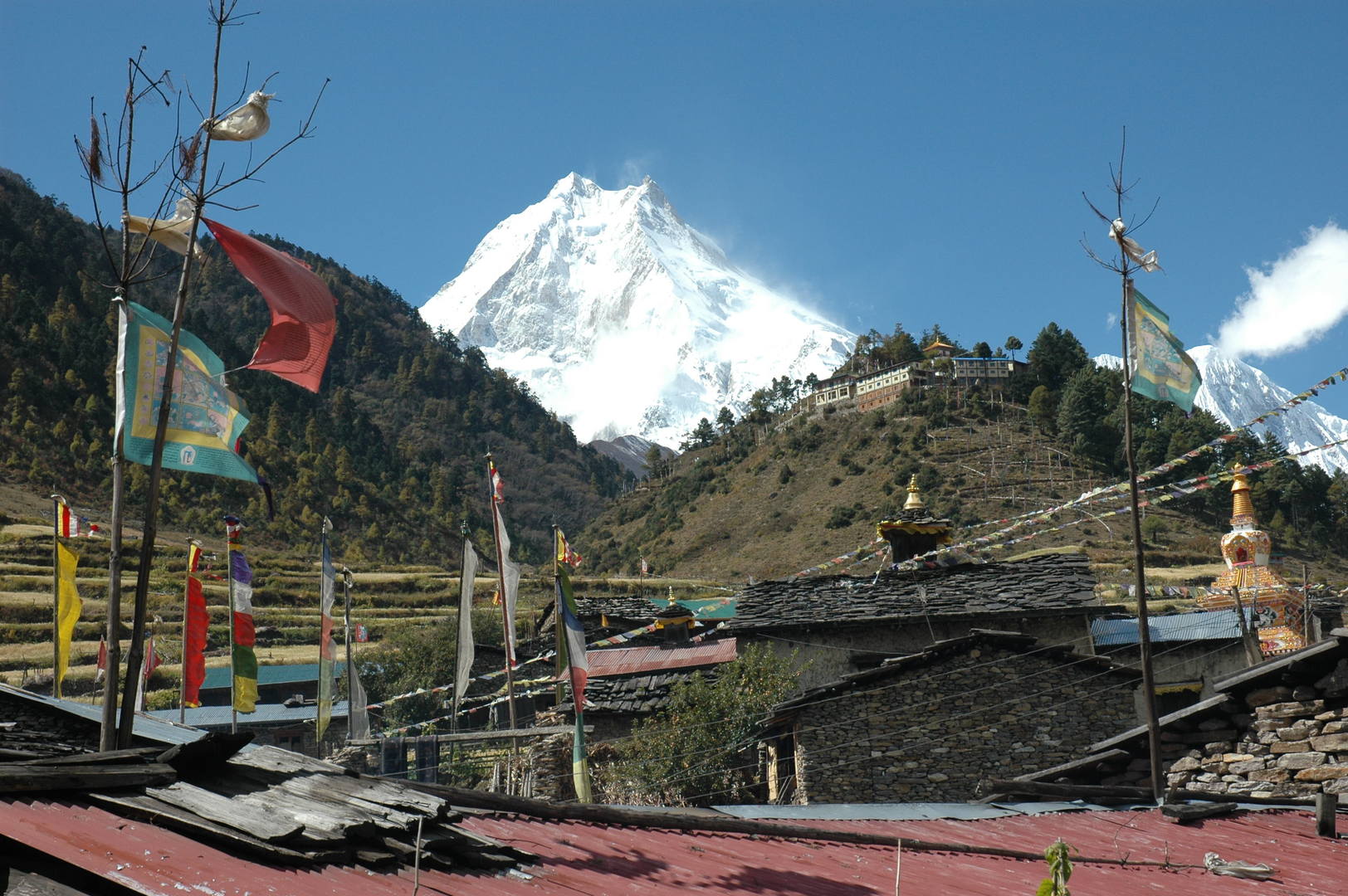
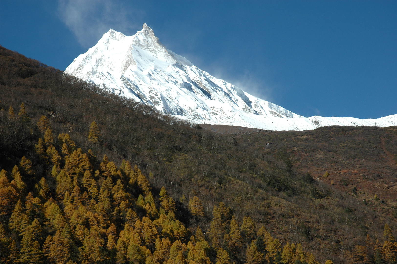
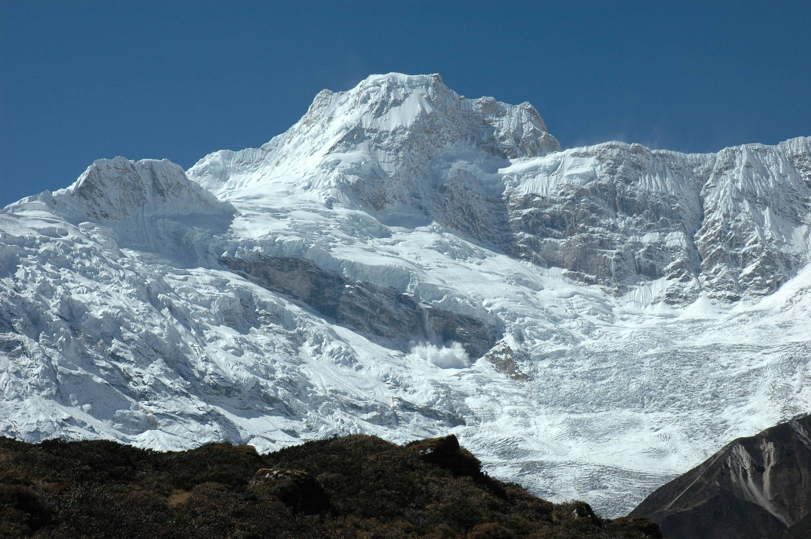
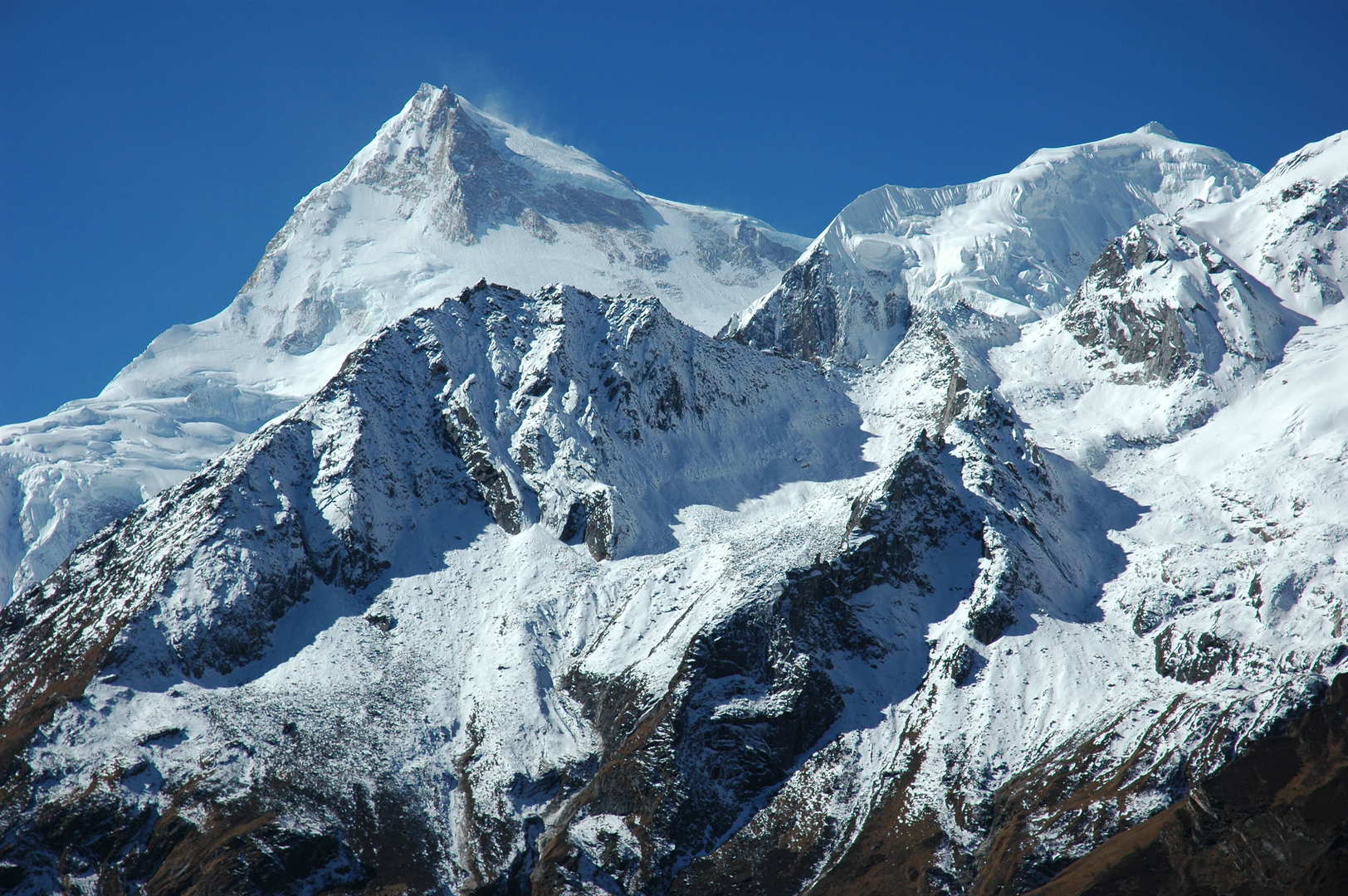
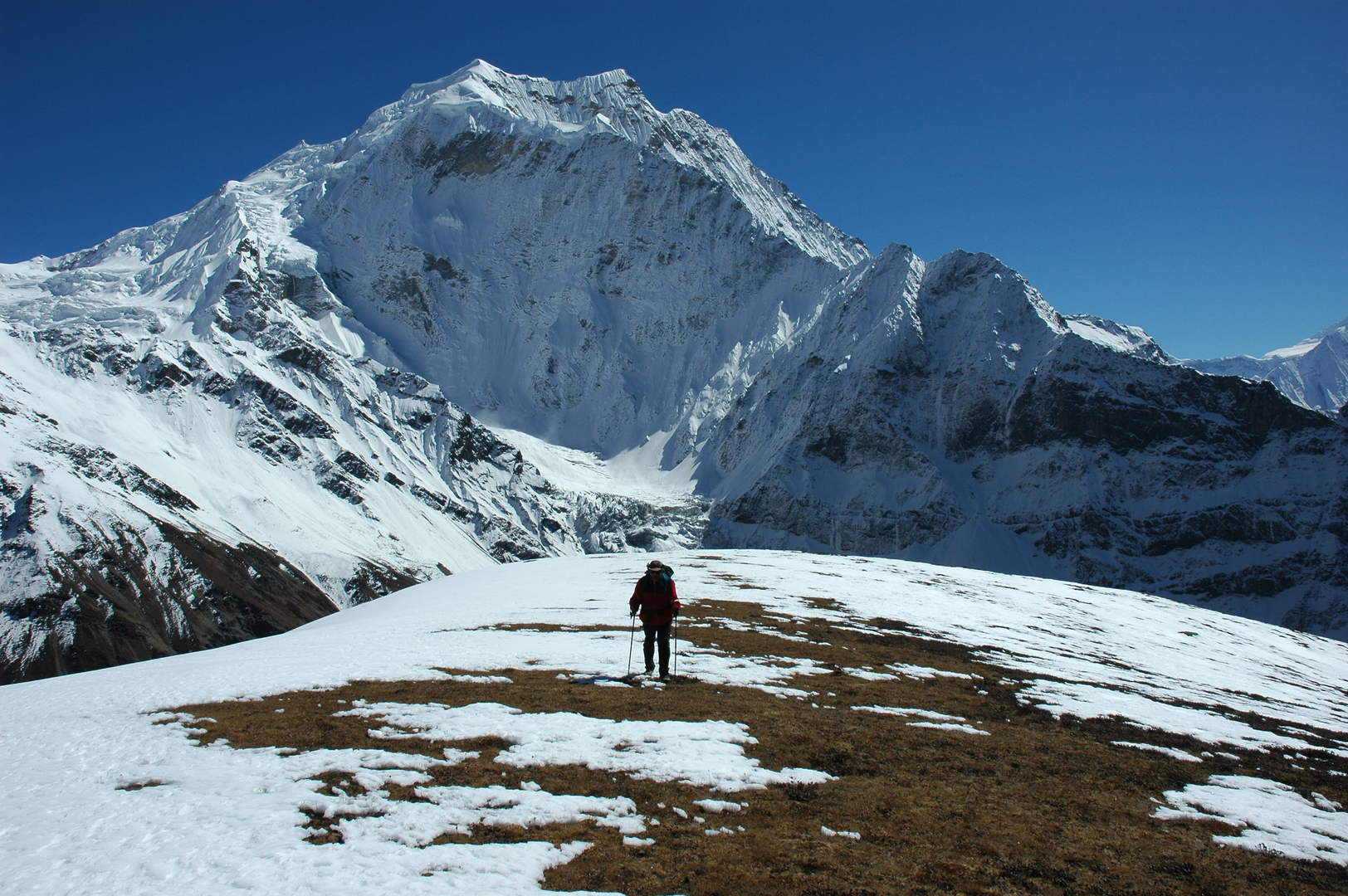
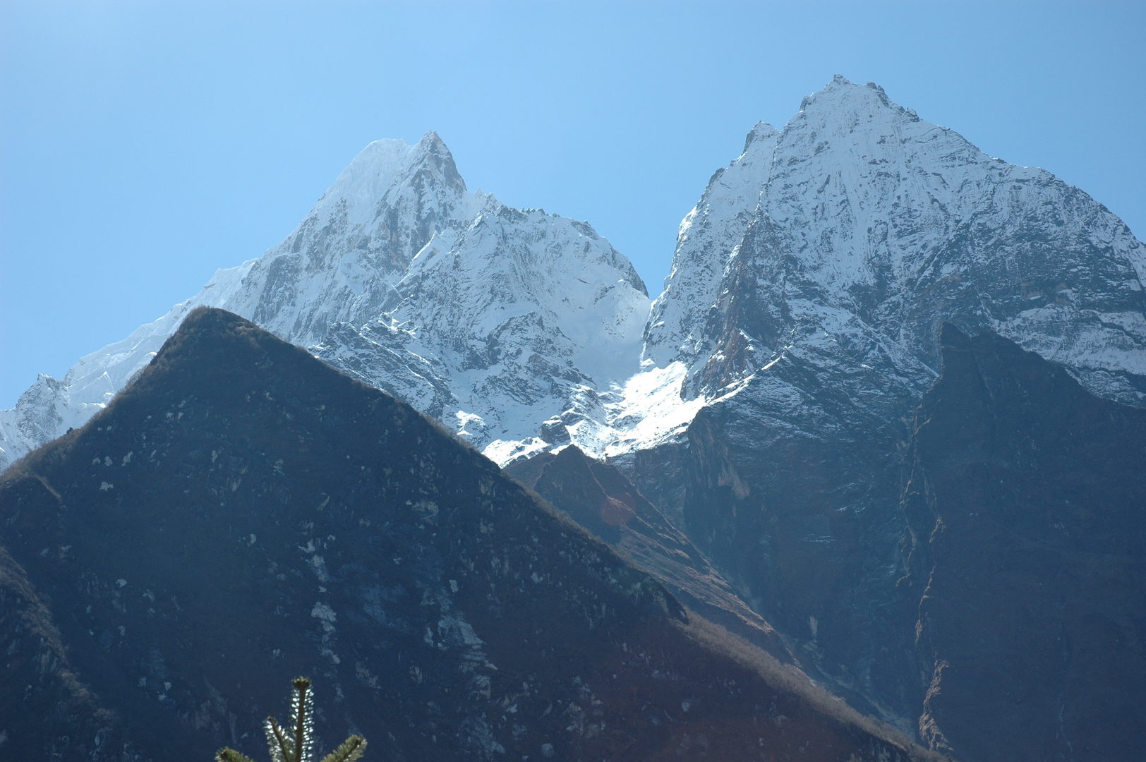
Approaching Lho :: the famous first Manaslu top view
Lho :: approaching
Lho :: the lower (village) Gompa
Lho :: fields
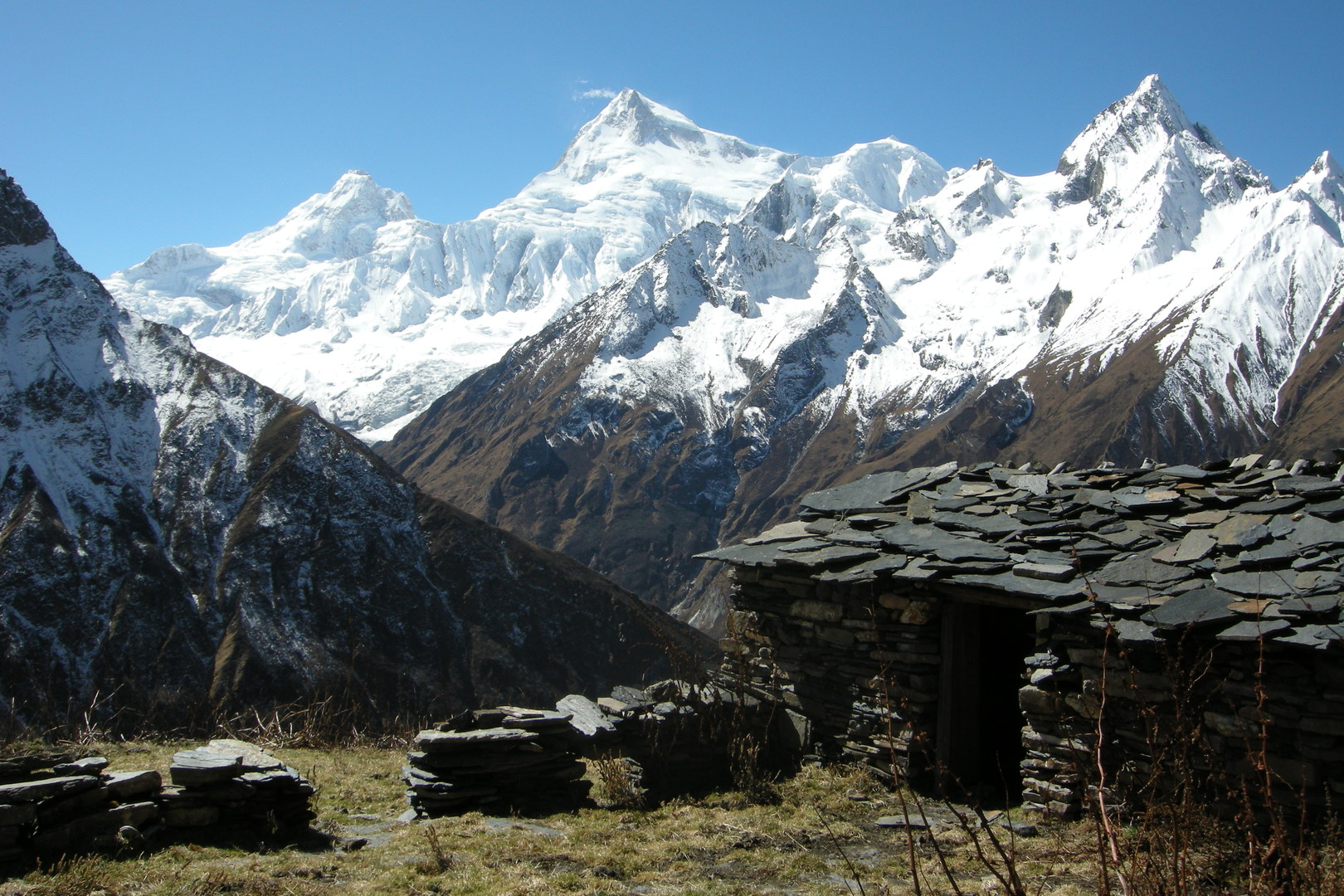
Lho :: the omni-present Manaslu over the village roofs :: Gompa to the right
Lho :: exit chortens and mani walls
Lho :: exit chortens and mani walls
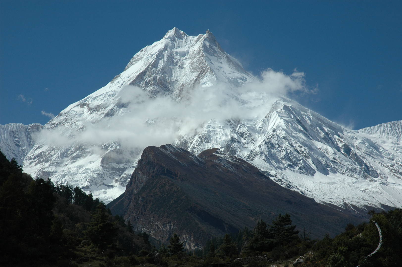
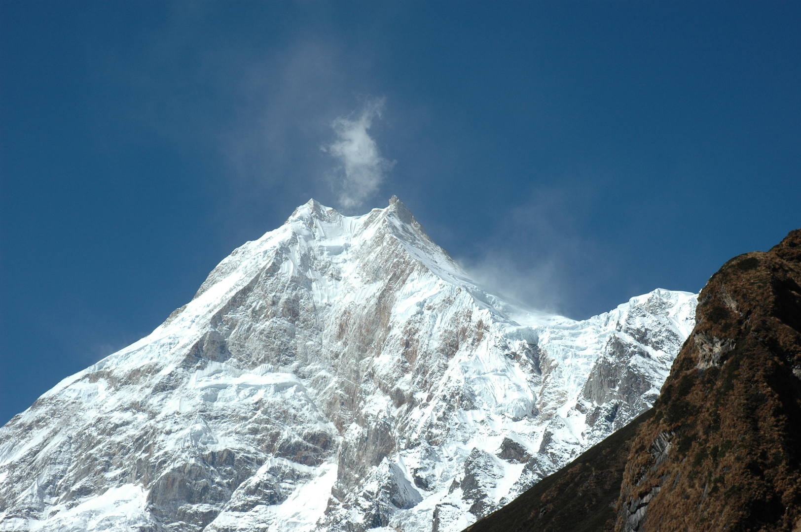
Lho :: Manaslu zoomed…
Lho :: upper reach of the fields
Lho :: fields at the forest boundary
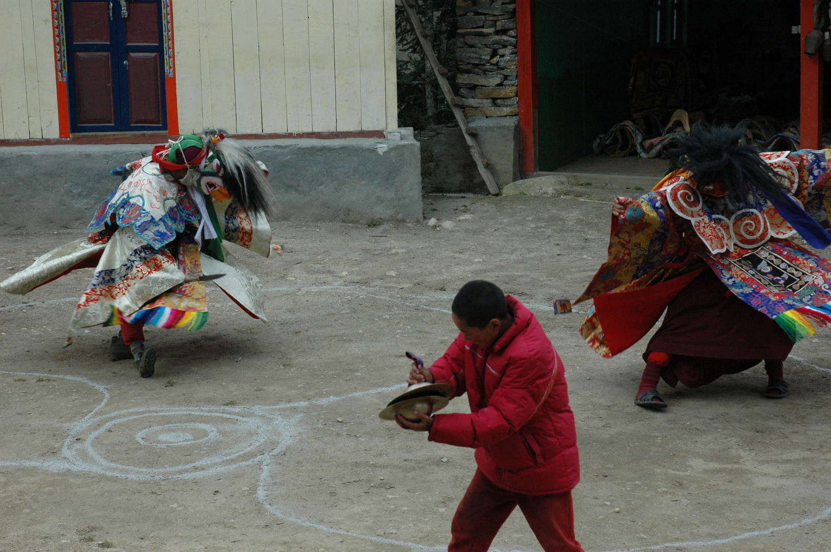
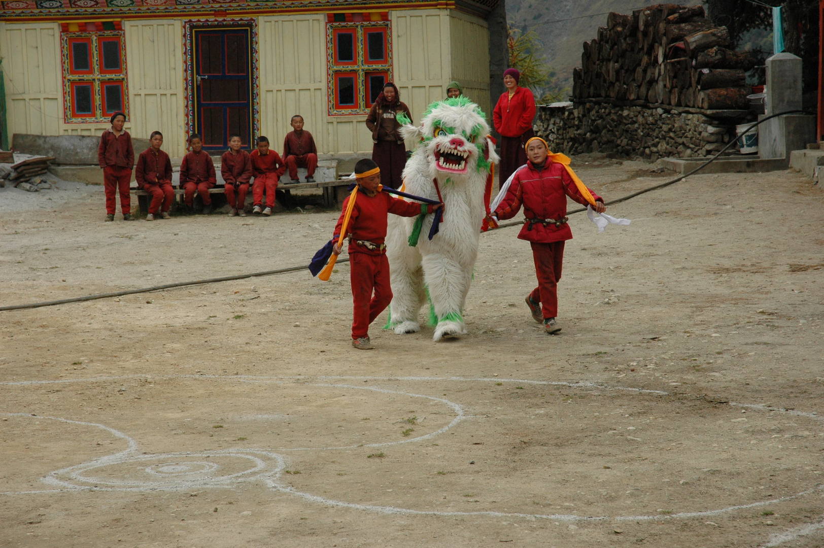
Lho Gompa :: training ritual dances
Lho Gompa :: dancing with the lion
Lho Gompa :: the public, watching
Lho Gompa :: the public, leaving
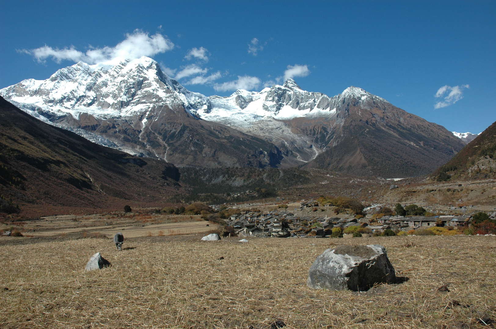
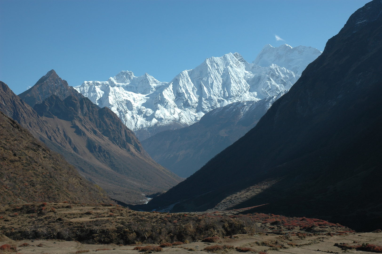
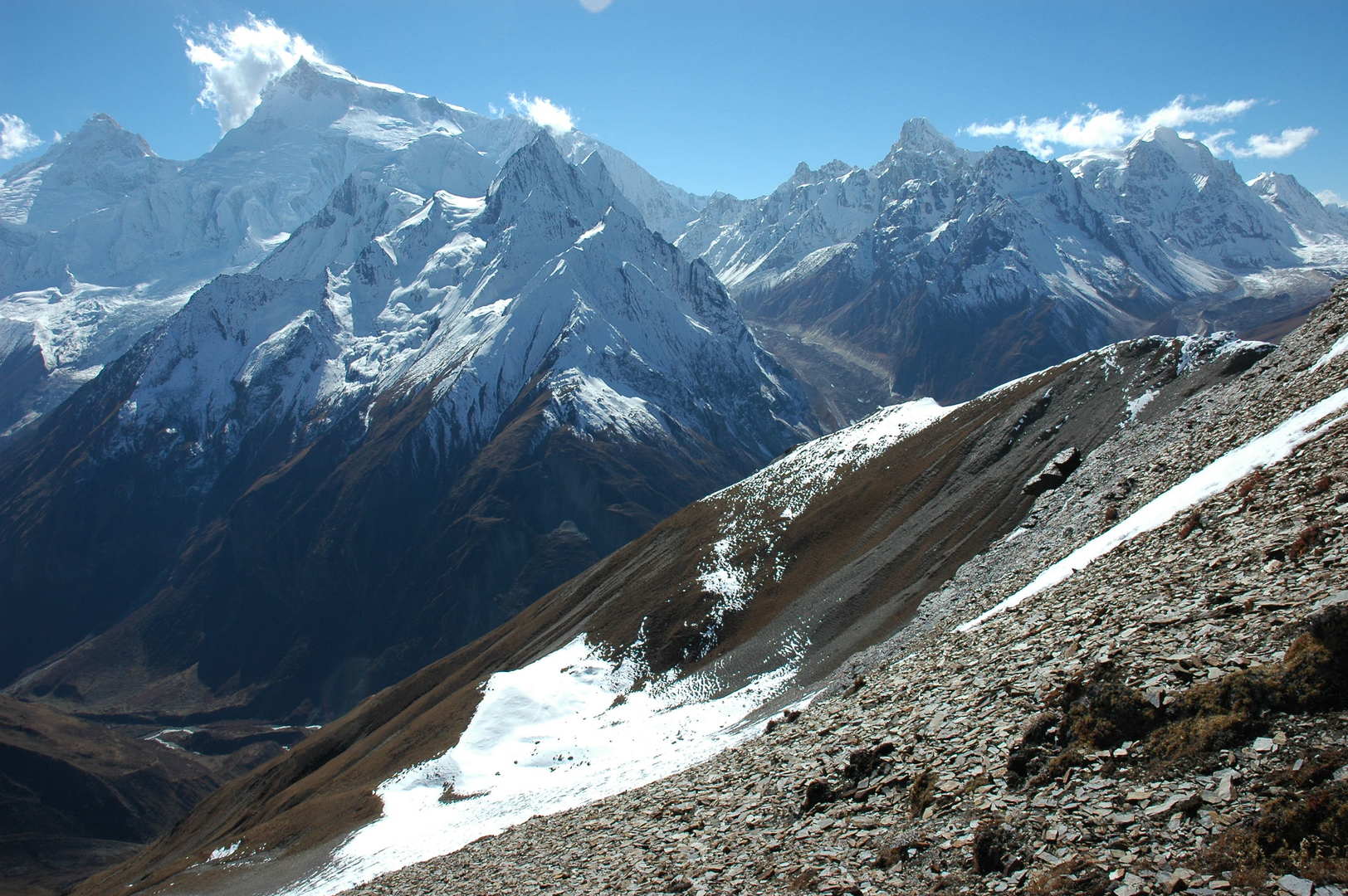
Syala :: the peaks parade over the messy village :: Simnang Himal, Nadi Chuli, Manaslu
Syala :: Taningga Danda
Syala :: Simnang Himal
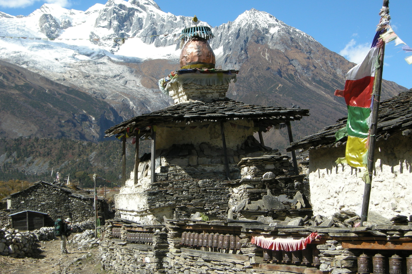
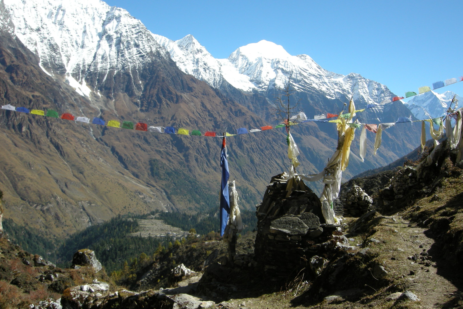
Syala :: the exit chorten
Syala :: the exit chorten
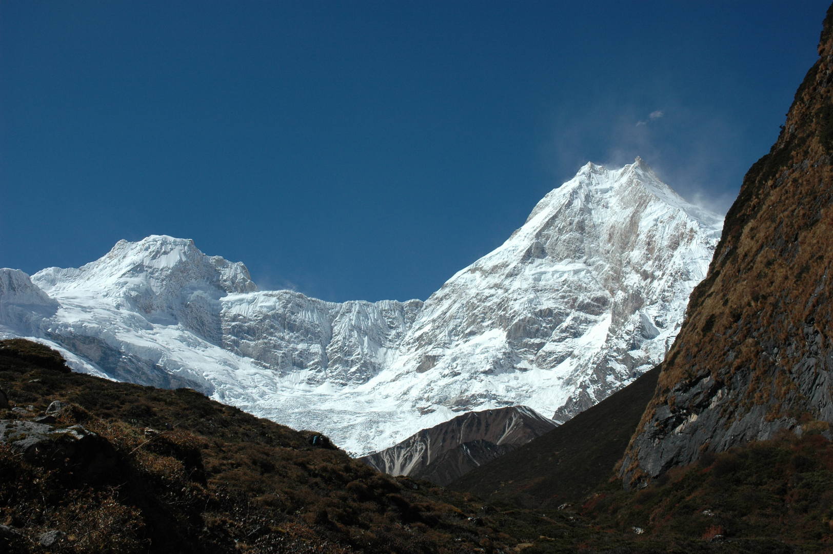
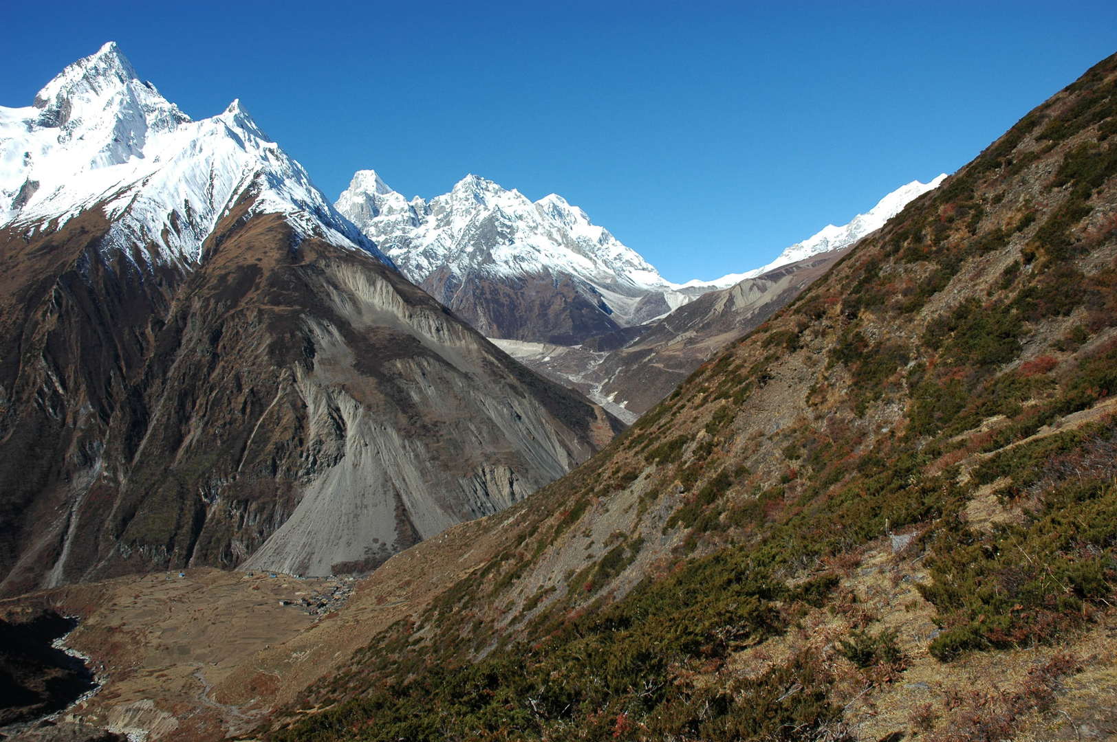
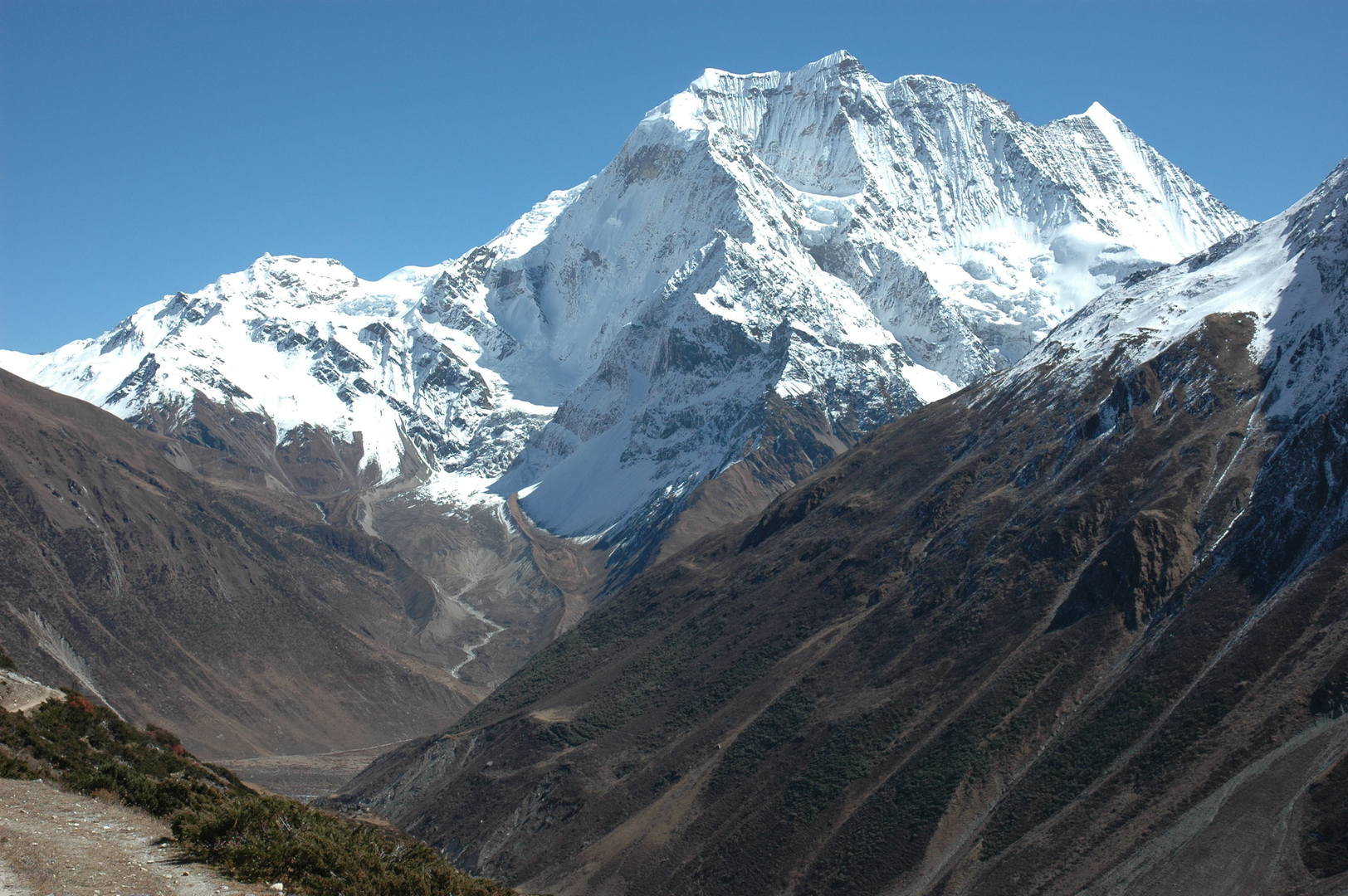
The Numla Khola valley :: Manaslu
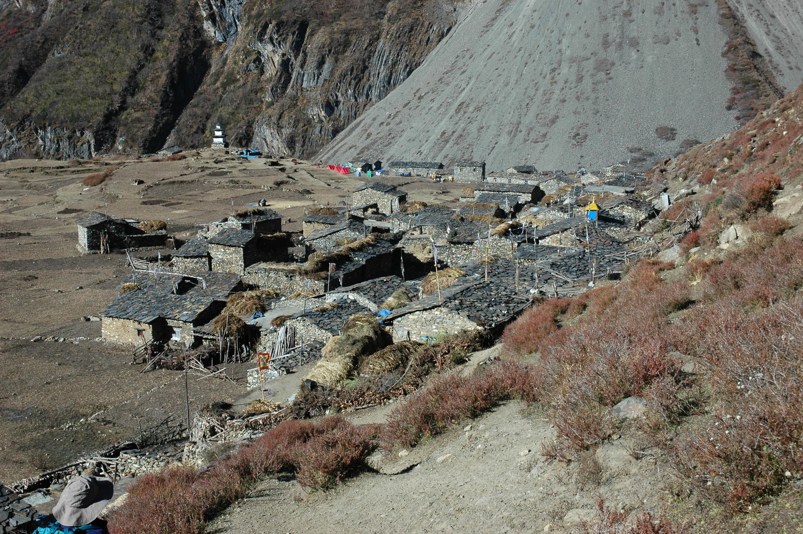
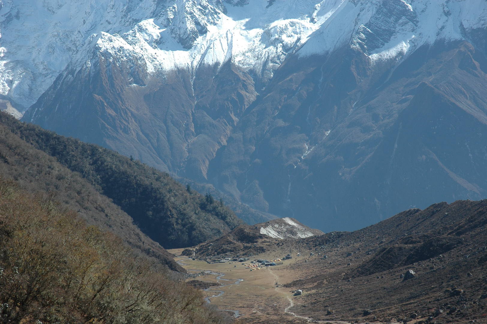
The Numla Khola valley :: Samagaon surroundings
The Numla Khola valley :: Kutang Himal :: Samdo, Khayang
The Numla Khola valley :: Taningga Danda, Simnang Himal
West of the Numla Khola :: Taningga Danda
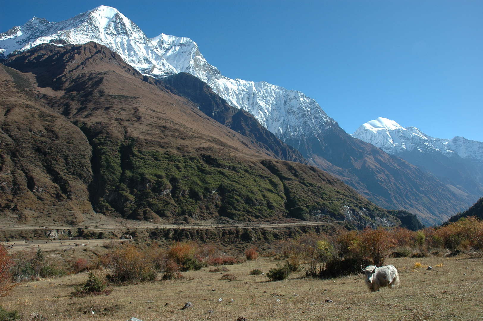
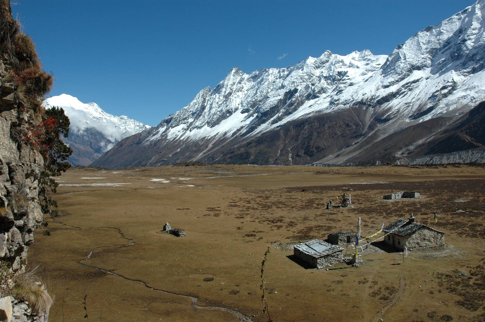
West of the Numla Khola :: towards Samagaon pastures
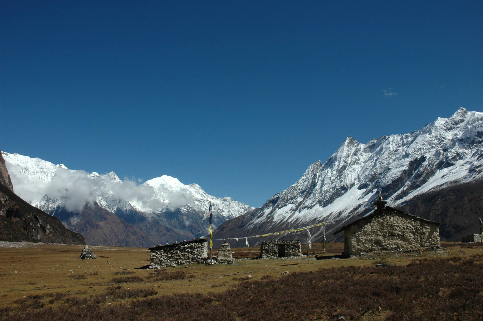
By Samagaon pastures
By Samagaon pastures :: happy life?
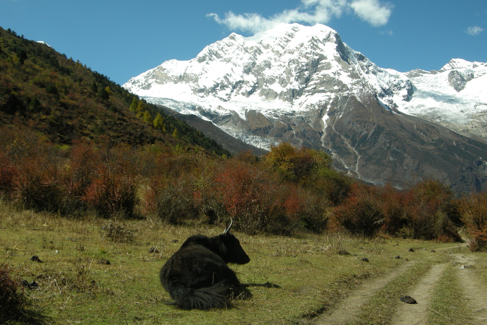
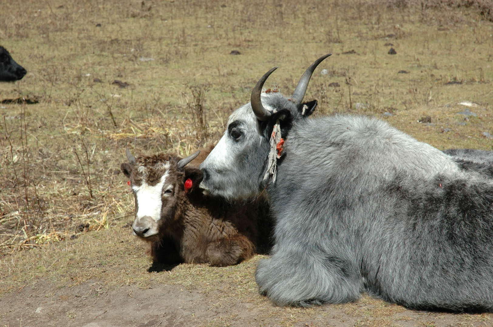
By Samagaon pastures :: yaks or dzos?
Approaching Samagaon from the east, Naike Peak, Yamnang Glacier
Approaching Samagaon from the east, Naike Peak, Yamnang Glacier
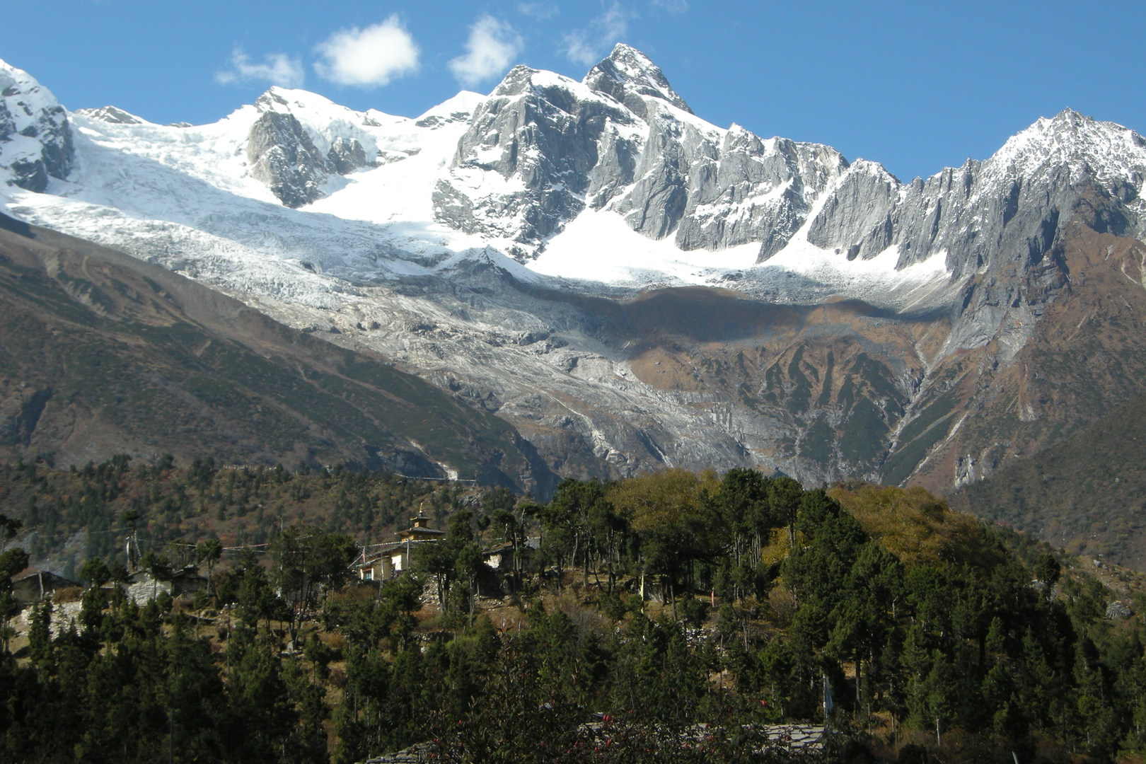
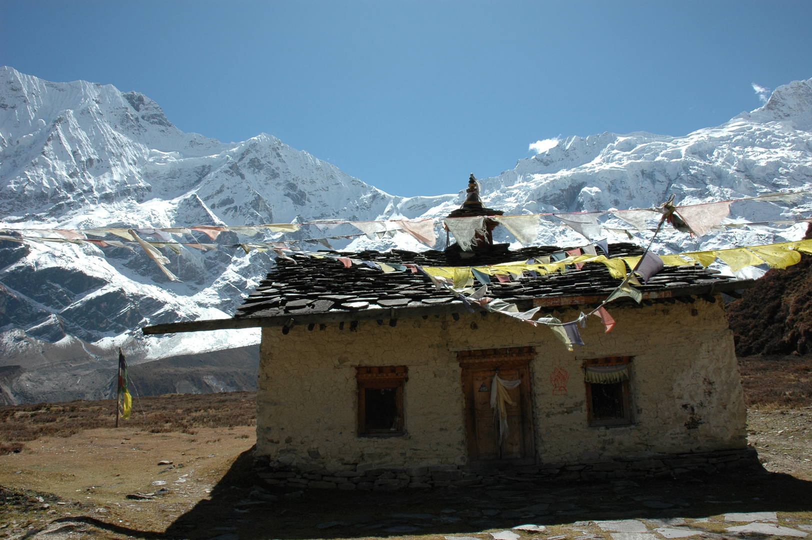
Samagaon :: upper Gompa, Yamnang Glacier
Samagaon :: upper Gompa
Samagaon :: houses
Samagaon :: the stream
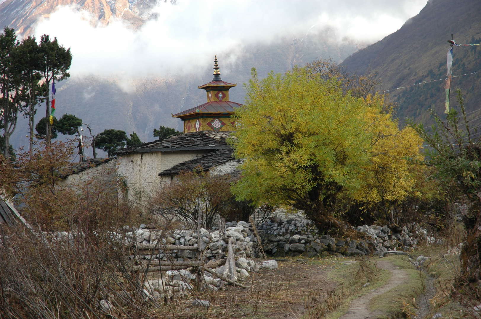
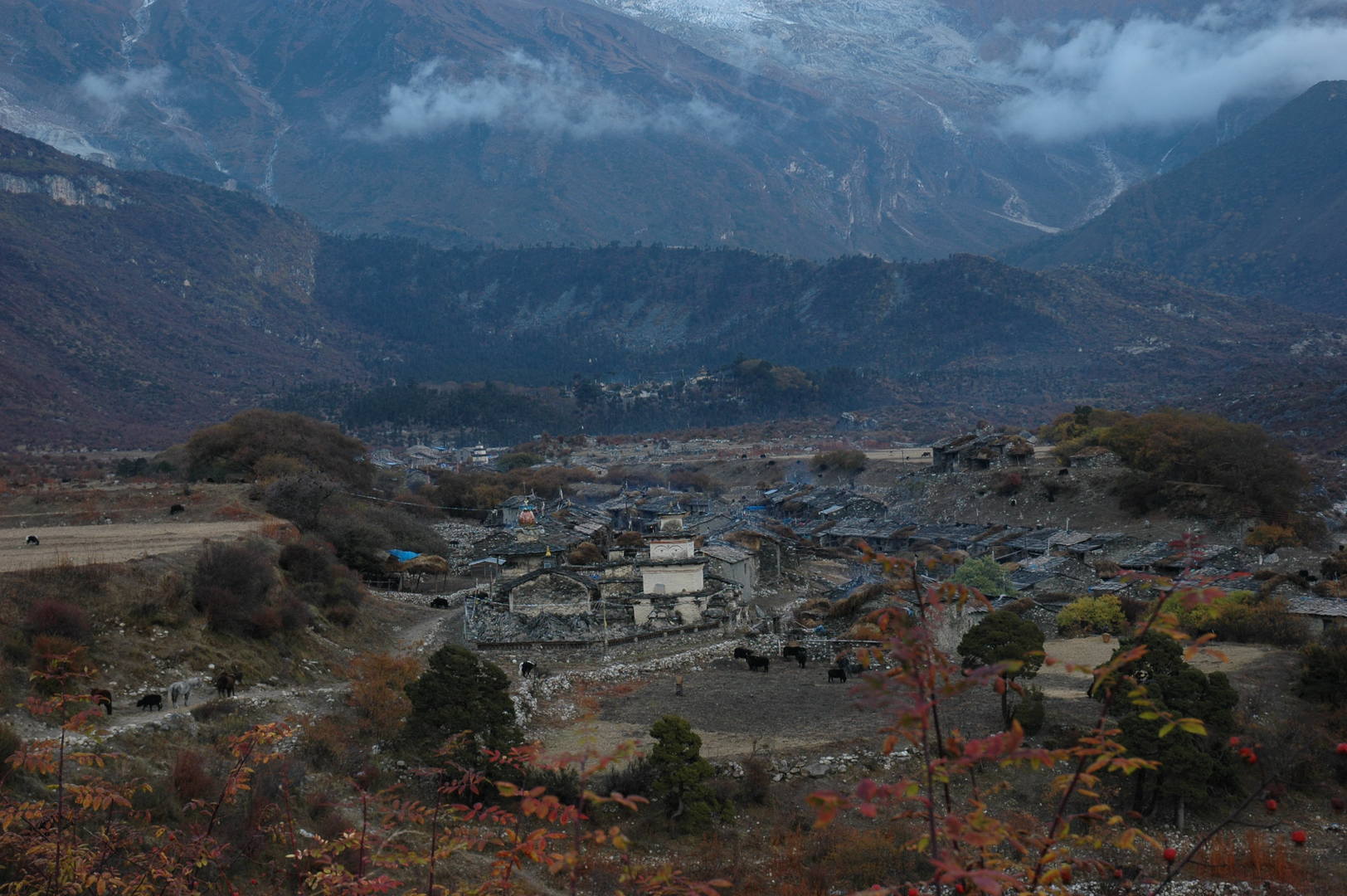
Samagaon :: the village
Samagaon :: the village
Samagaon :: examining foreign languages
Samagaon :: let them fly
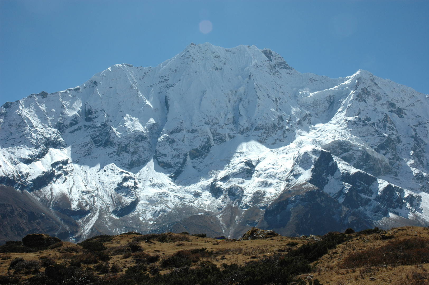
Samagaon :: the eye-catching Manaslu, what else…
Samagaon :: Kutang Himal
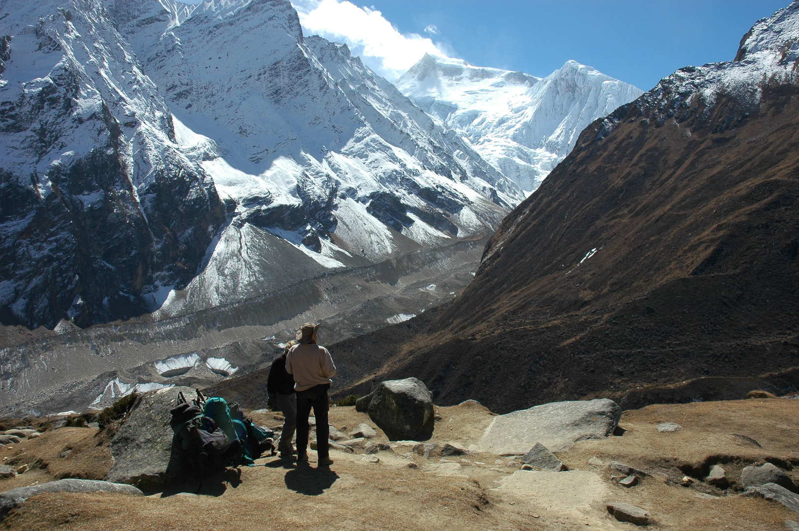
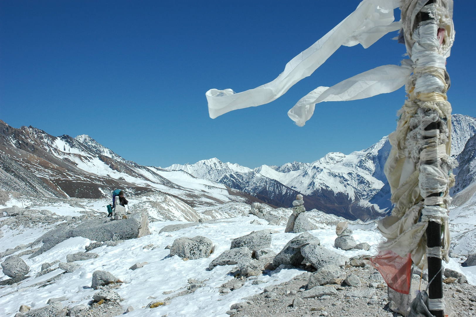
The Numla Khola valley :: upstream
The Numla Khola valley :: a mani wall
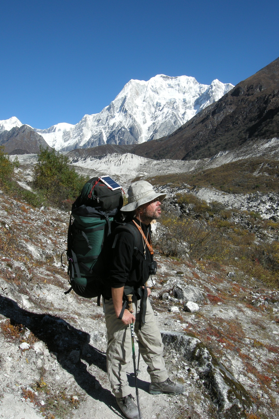
Towards Pungyen :: looking back towards Kutang Himal
Towards Pungyen :: Nadi Chuli (Peak 29), Manaslu
Towards Pungyen :: Nadi Chuli
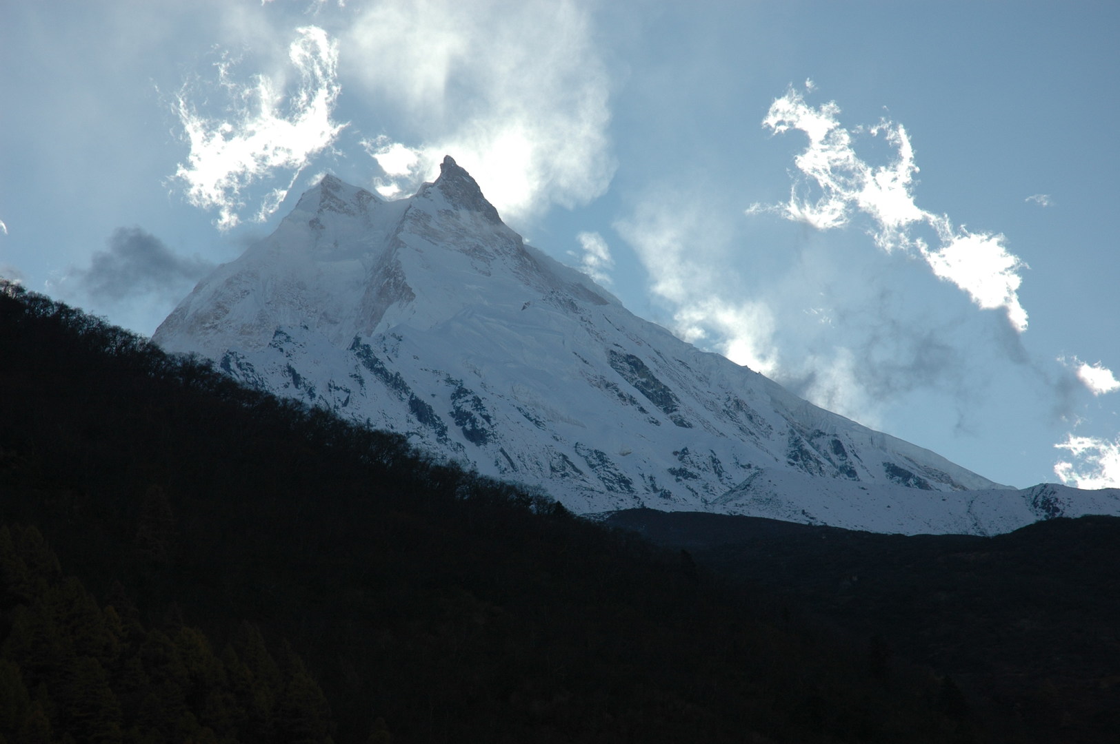
Towards Pungyen :: Manaslu top
Pungyen :: Simnang Himal
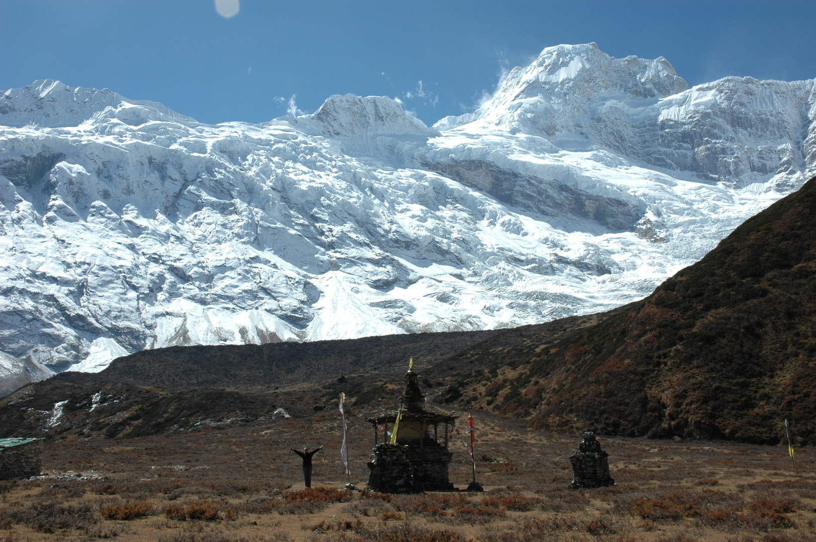
Pungyen :: reached the Gompa chorten
Pungyen :: Gompa
Pungyen :: the lower gompa buildings
Pungyen :: one of the gompa buildings – what a surrounding
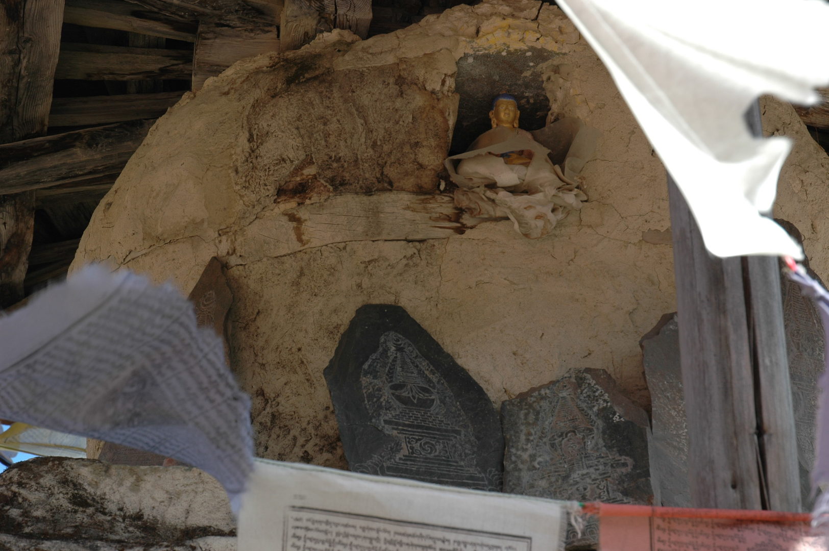
Pungyen :: the view from the cave gompa
Pungyen :: statues
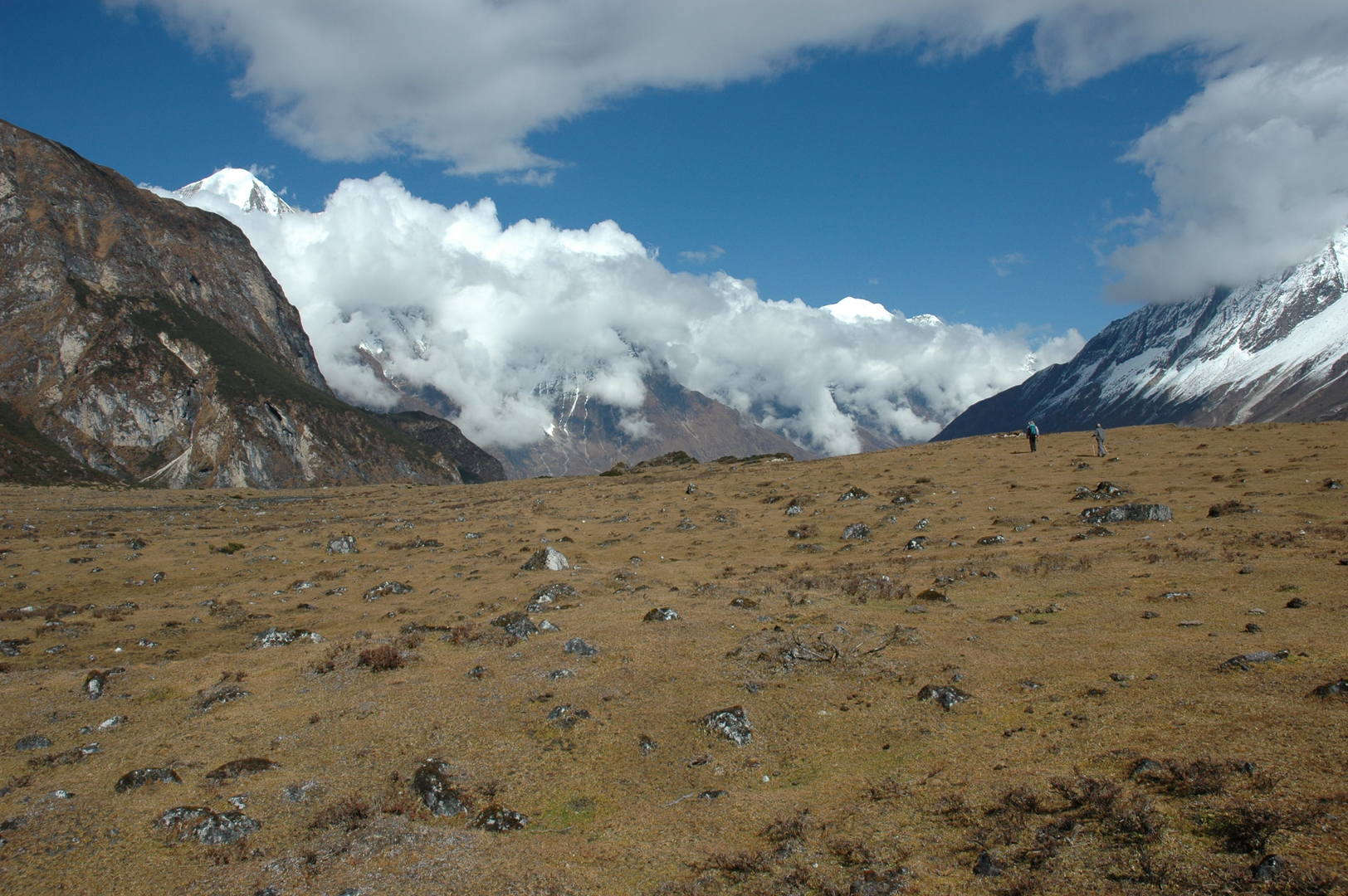
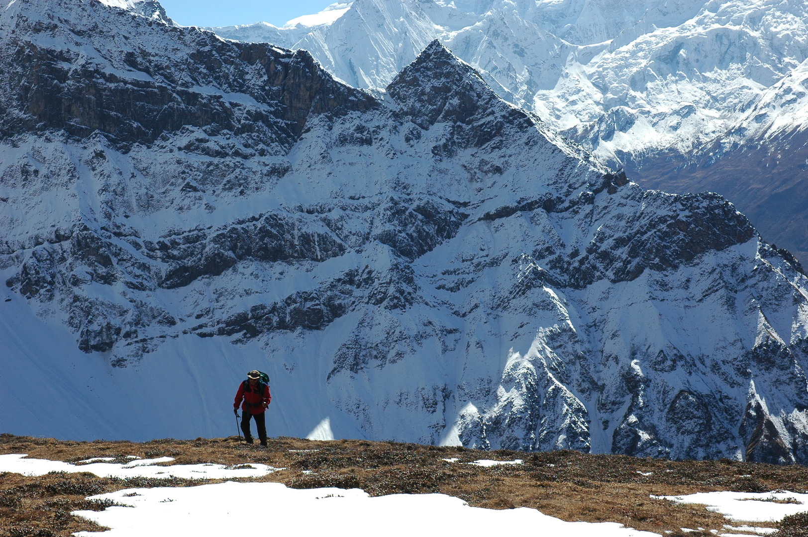
Pungyen :: going back through the kharka meadows
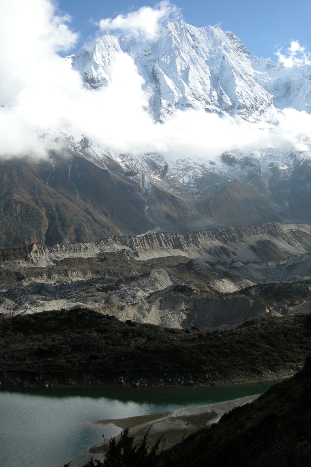
Pungyen :: lakes
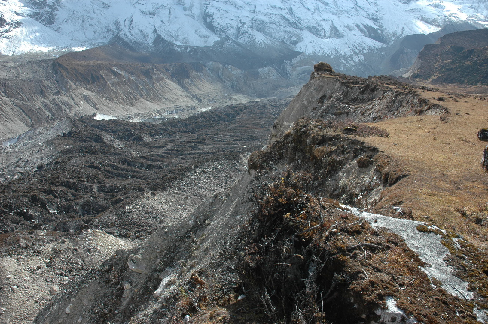
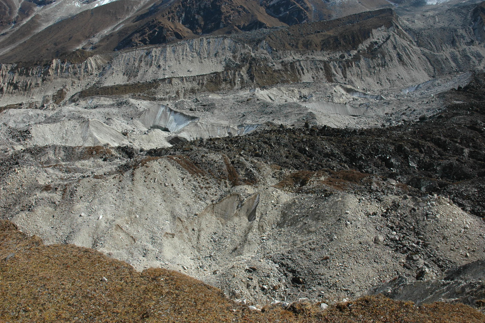
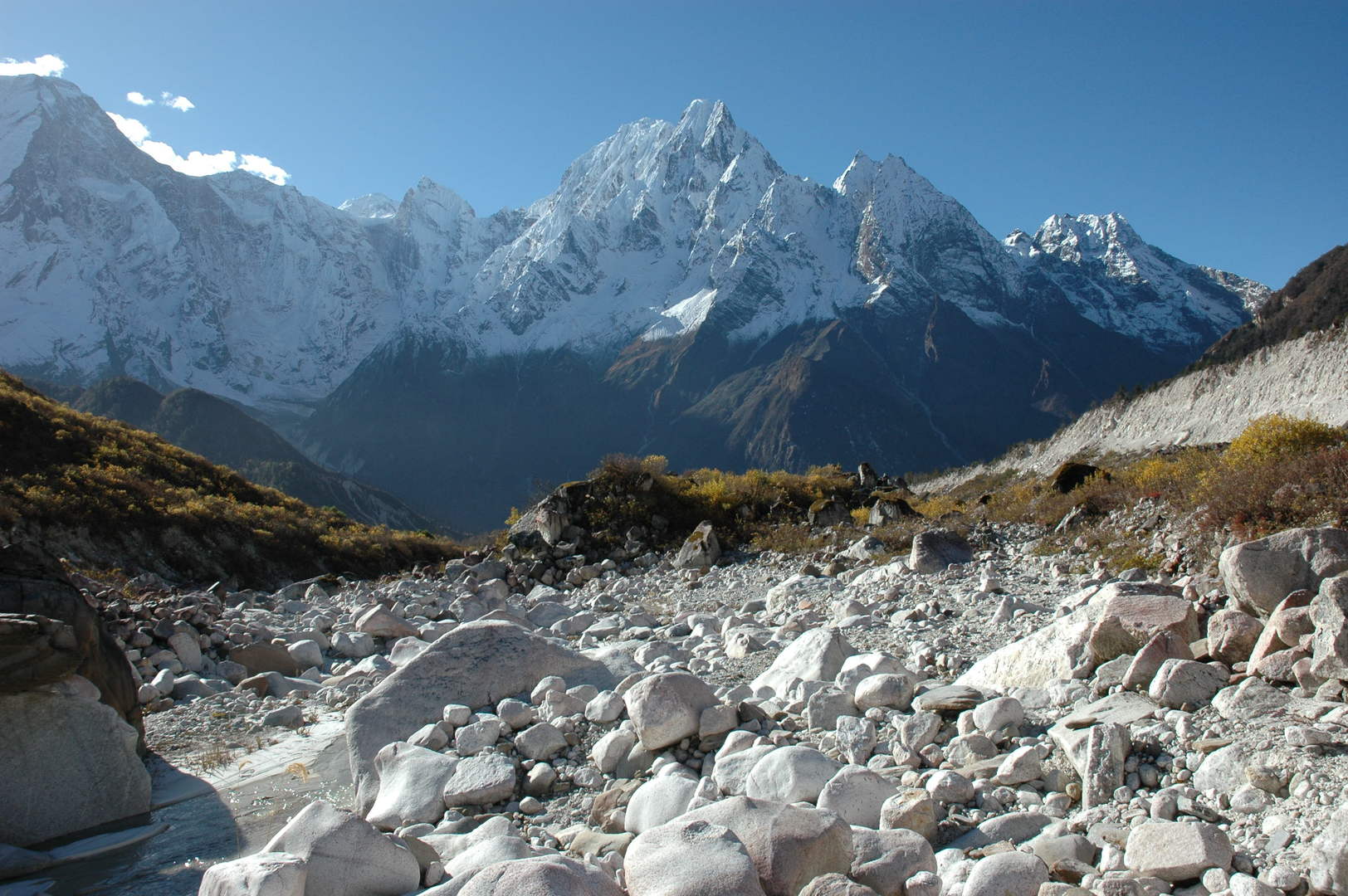
Pungyen :: the glacier morraines
Pungyen :: the glacier body
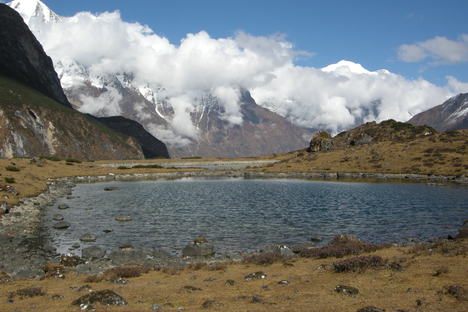
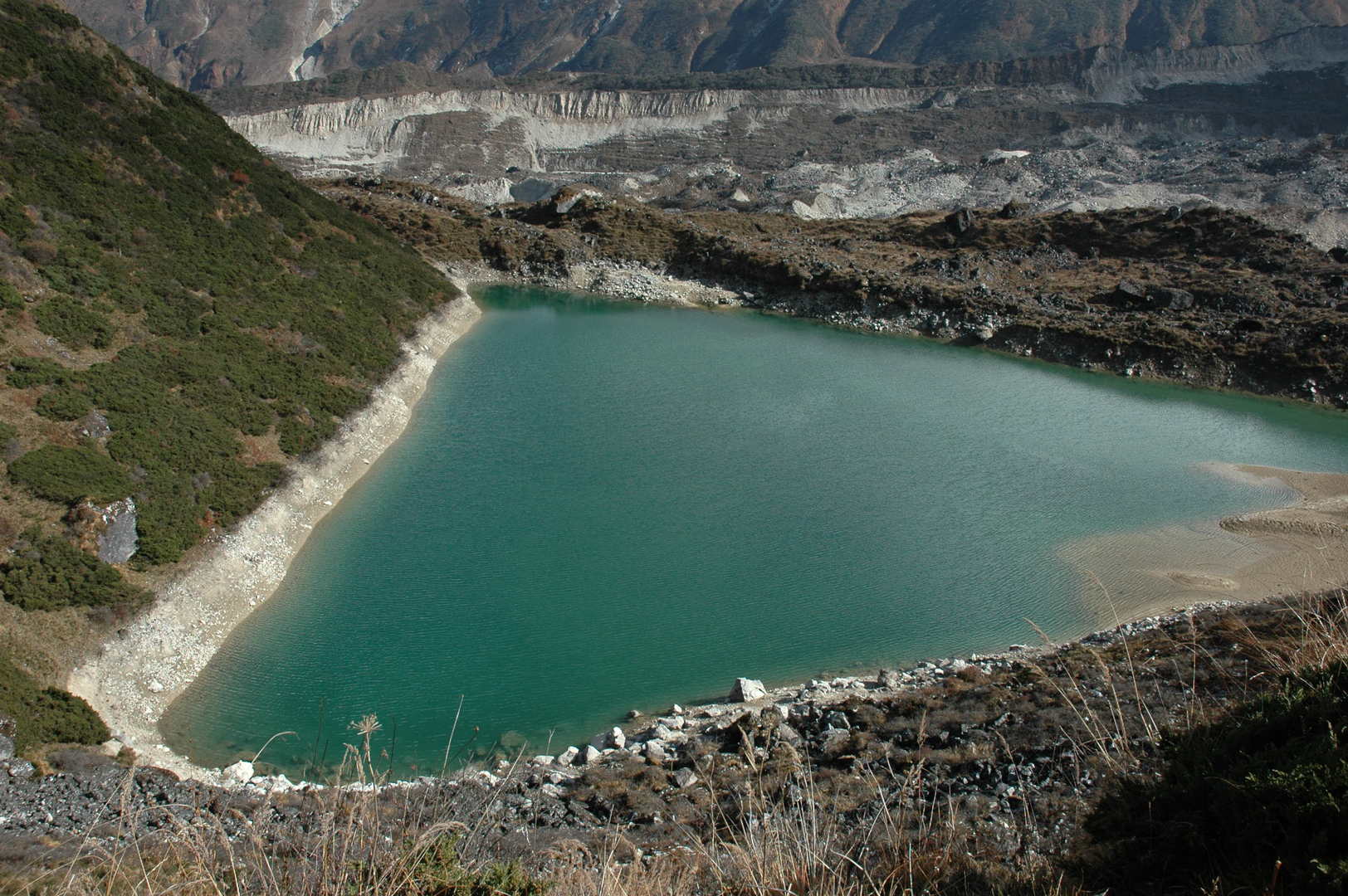
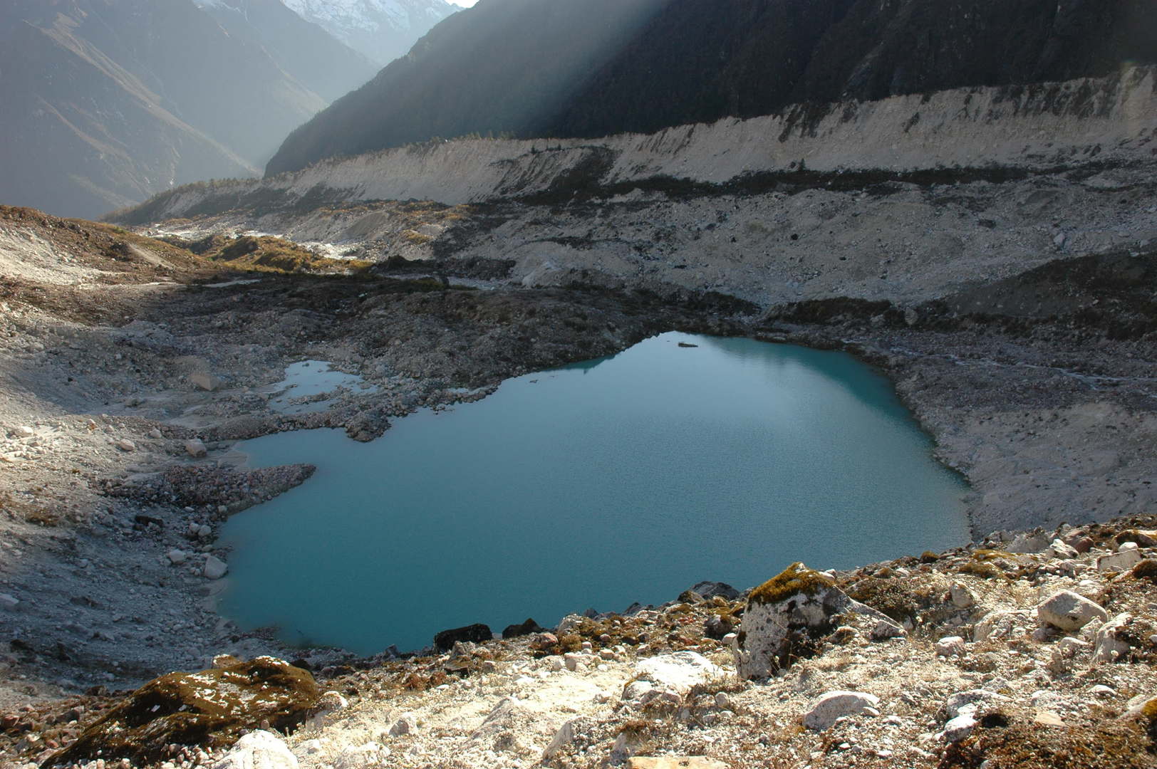
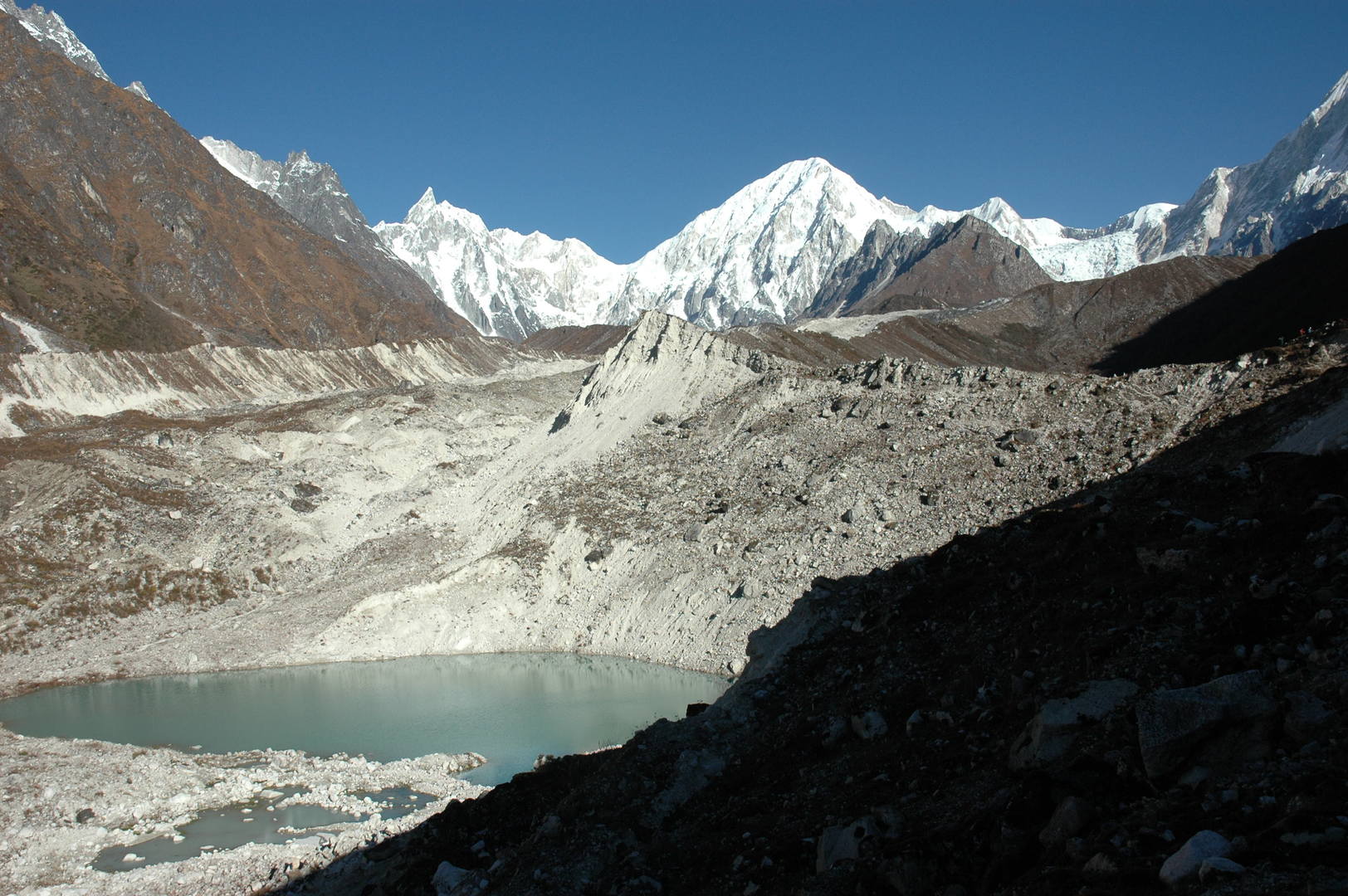
Pungyen :: the green glacier morraine lake
Pungyen :: the green glacier morraine lake surroundings
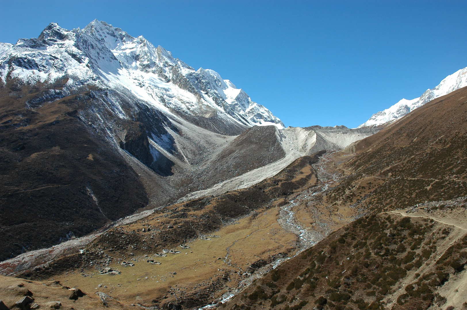
The Numla Khola valley :: downstream
Approaching Samagaon :: Naike Peak in the autumn surroundings
Samagaon :: the village in autumn moods
Samagaon :: Manaslu, again and again…
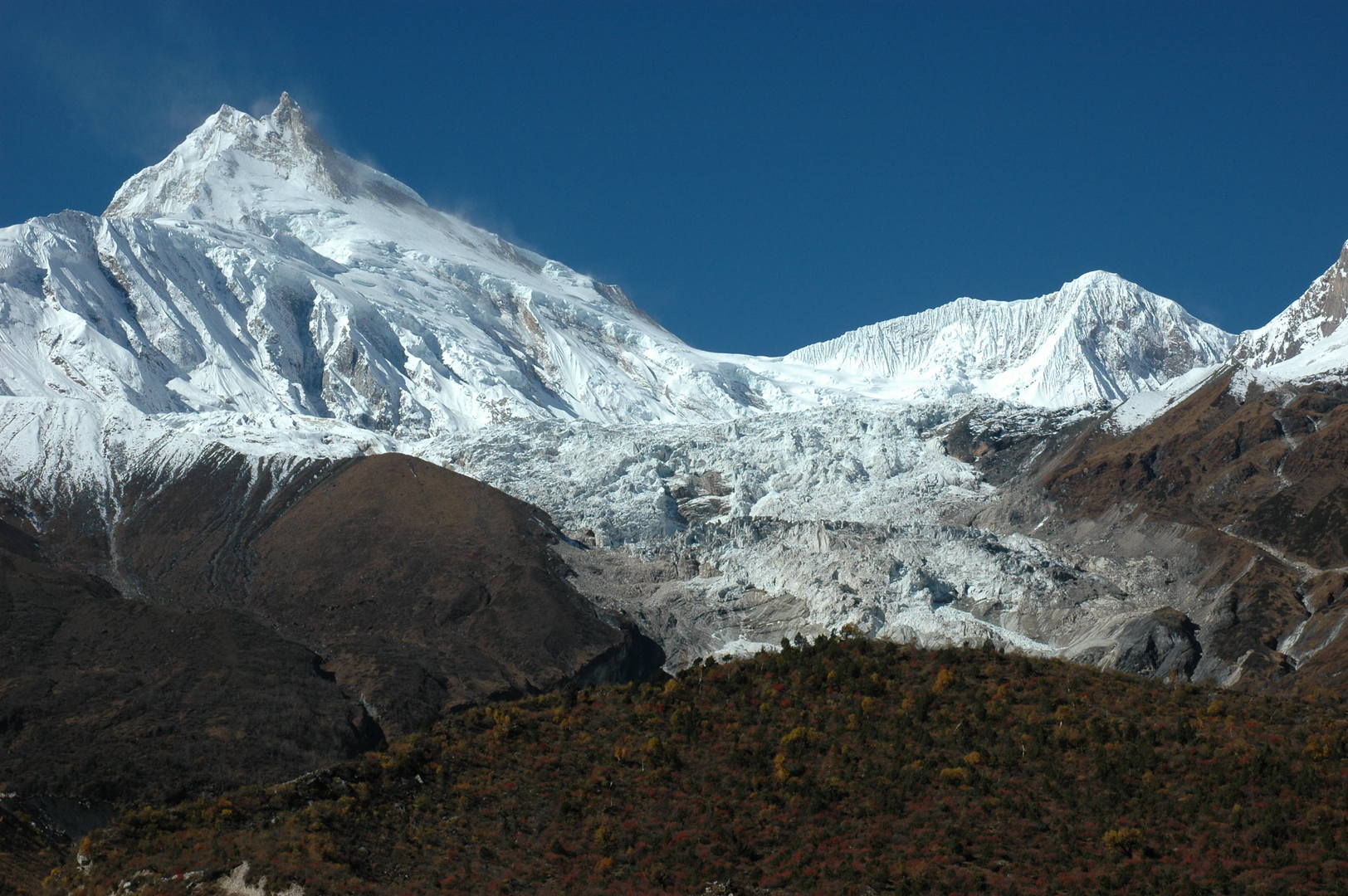
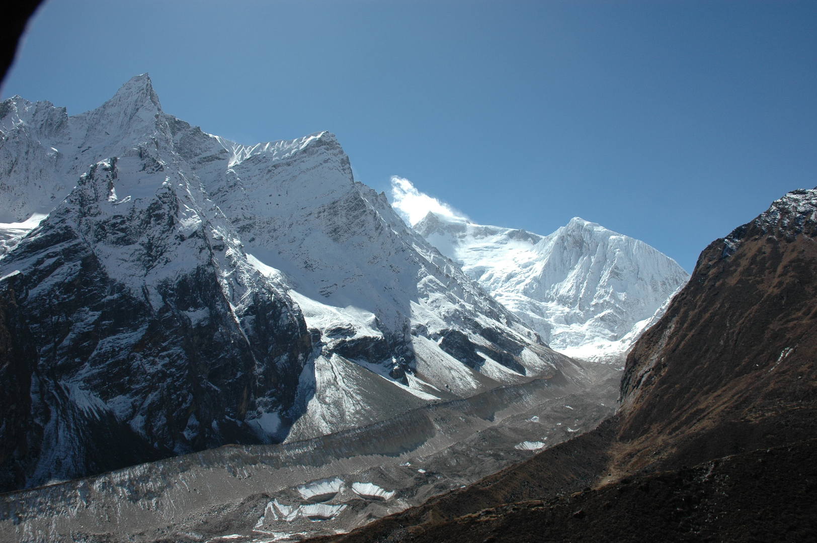
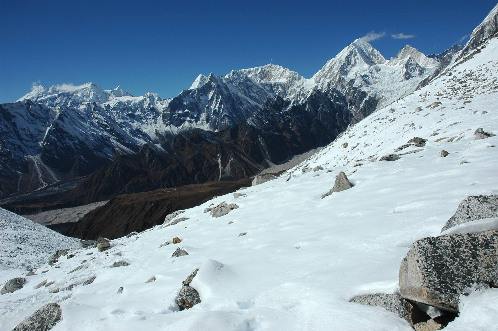
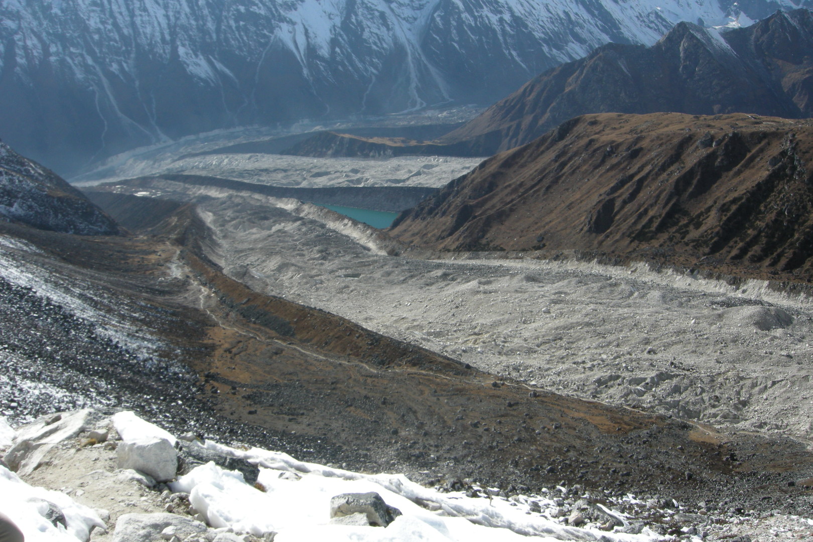
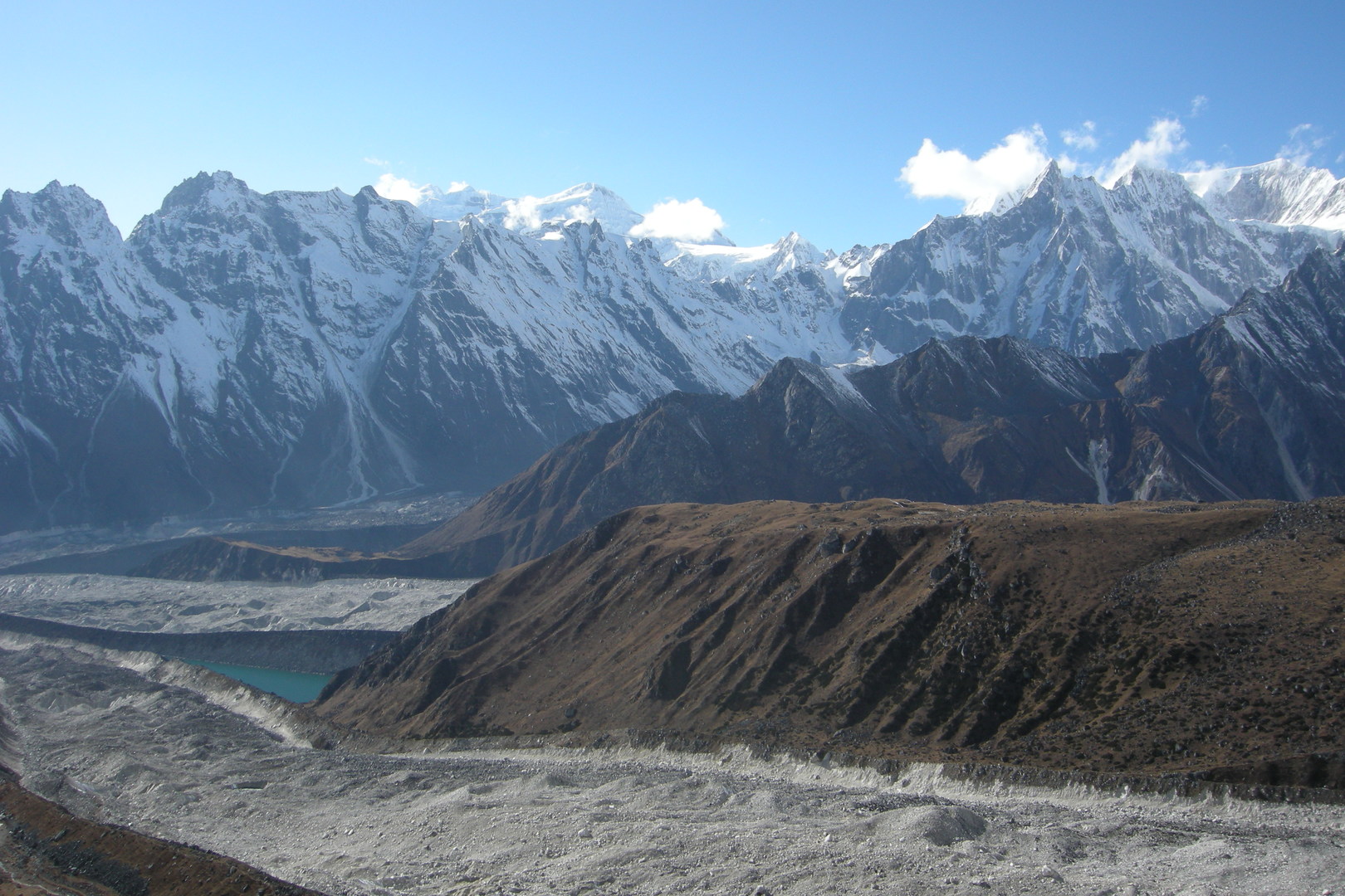
Towards Samdo :: the edge of the Manaslu Glacier frontal morraine
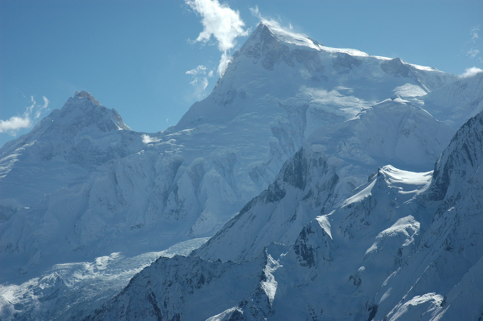
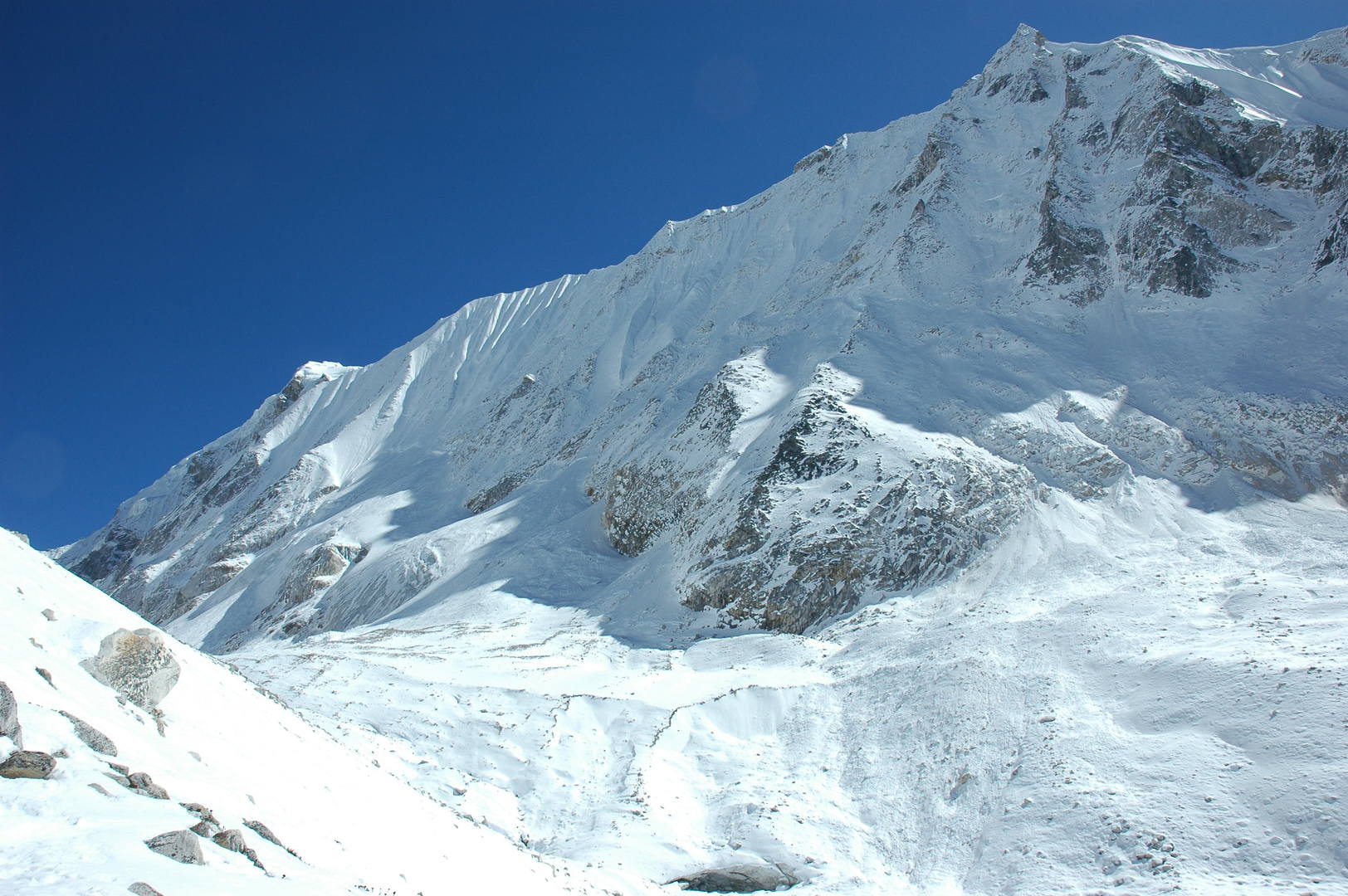
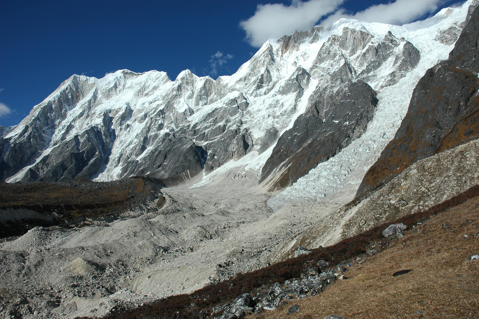
Towards Samdo :: Manaslu top and the Manaslu Glacier fall
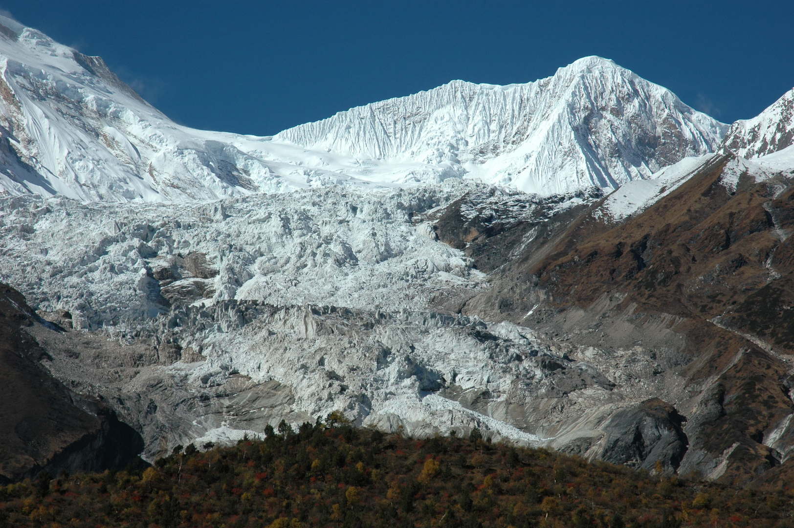
Towards Samdo :: The Manaslu Glacier fall zoomed
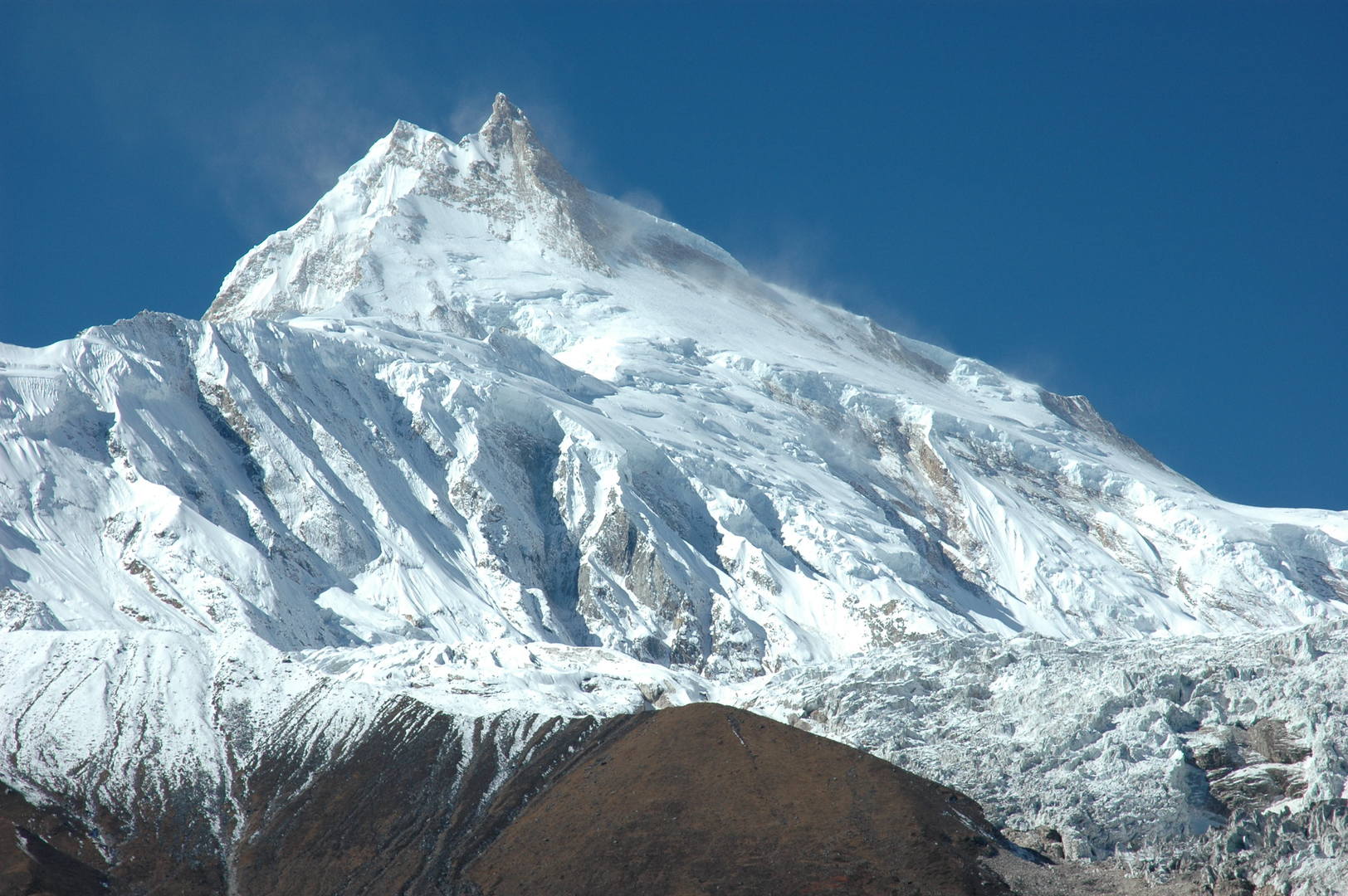
Towards Samdo :: Manaslu top zoomed :: the classical route
On the trail to Samdo :: looking south
On the trail to Samdo :: the upper Budhi Gandaki
On the trail to Samdo :: Panpoche Himal
On the trail to Samdo :: the upper Budhi Gandaki
On the trail to Samdo :: Buddhas on a mani wall
By Samdo :: the village entrance chorten in sight, Samdo Ri above
By Samdo :: crossing Budhi Gandaki just below the village
Samdo :: looking towards Larkya Bazaar ruins
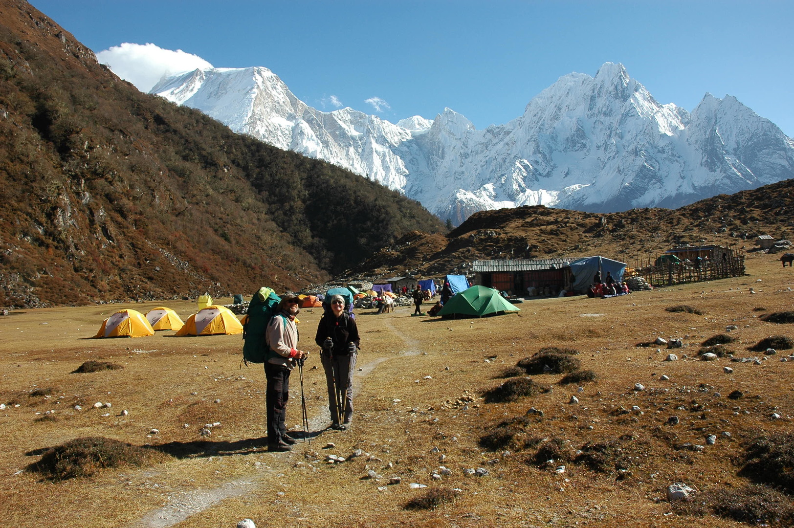
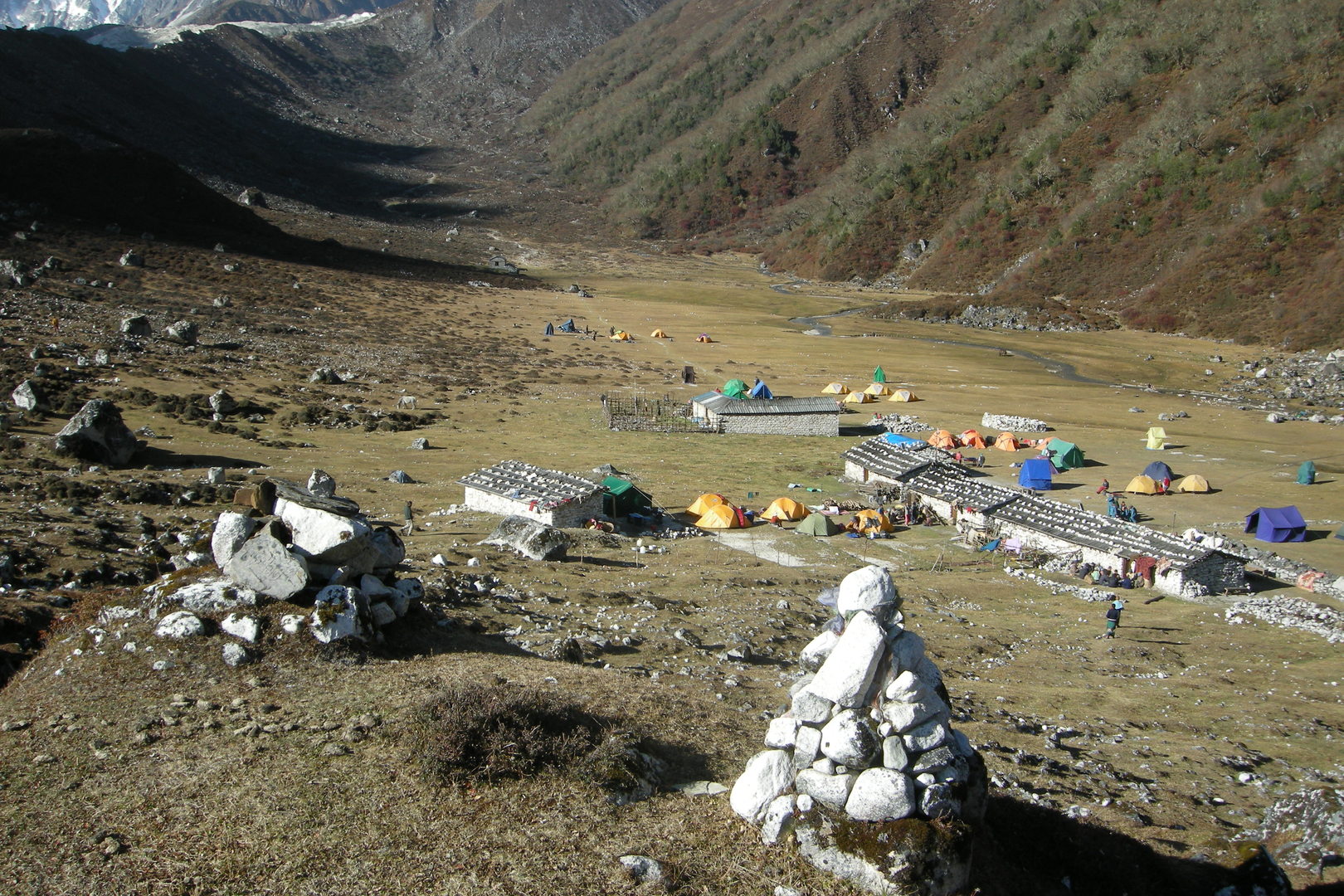
Samdo :: the lower village part with lodges
Samdo :: the view south towards Baudha and Himalchuli over the Simnang Himal
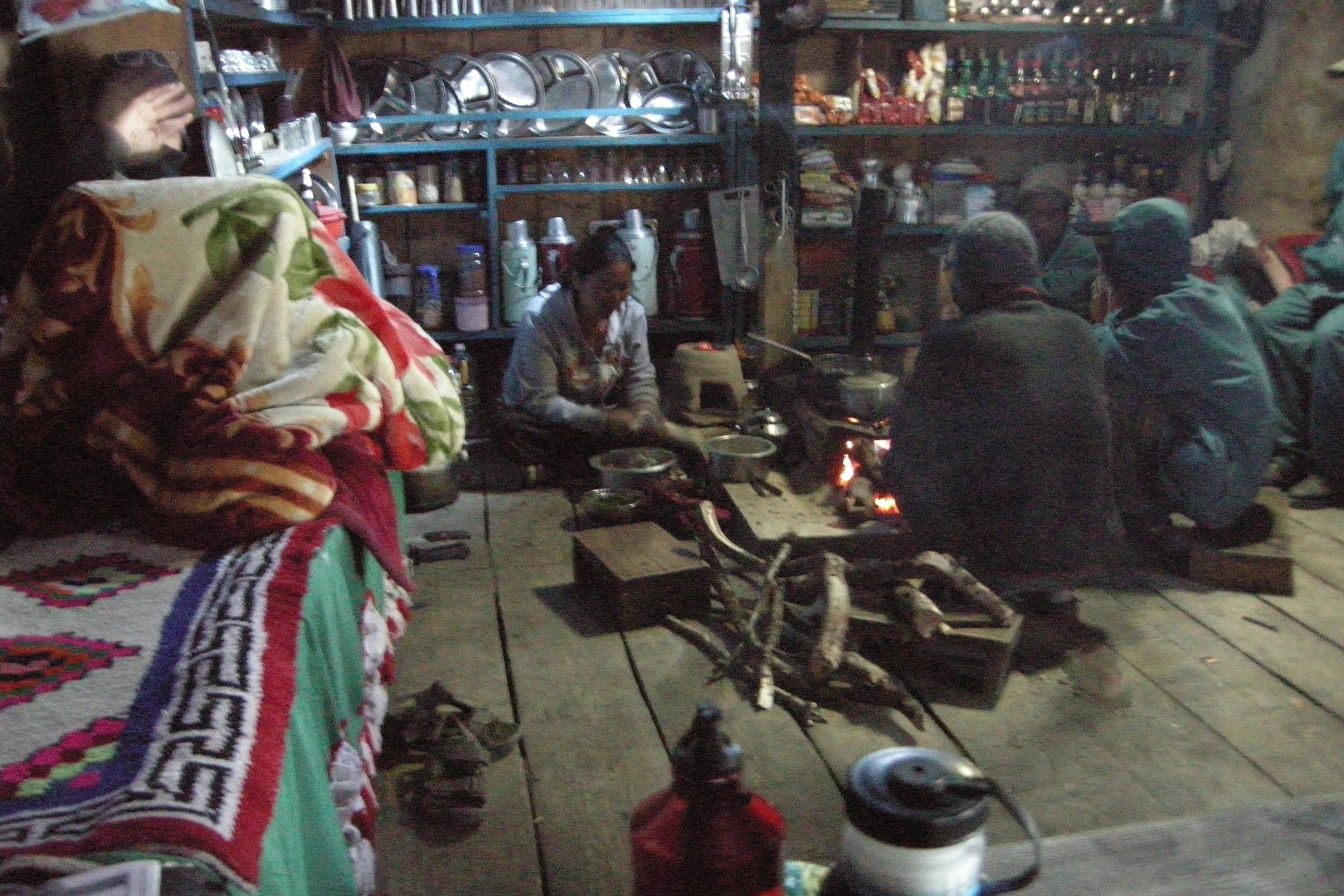
Samdo :: in the Tibetan Twins lodge kitchen
Samdo :: in the Tibetan Twins lodge kitchen
Samdo :: the evening
Samdo :: in the upper village
Samdo :: in the upper village
East of Samdo :: the whole village
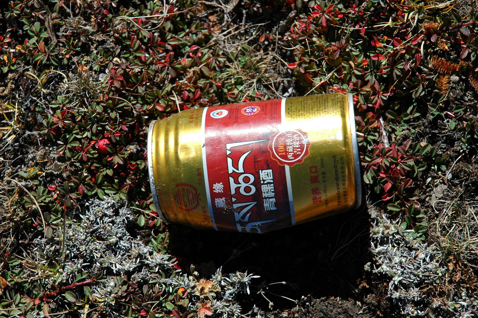
East of Samdo :: the trail to Tibet :: a witness – the Lhasa Beer can
East of Samdo :: the Naike and Larkya Peaks appear
East of Samdo :: Manaslu over the Naike Peak side ridges
East of Samdo :: Byalikharka
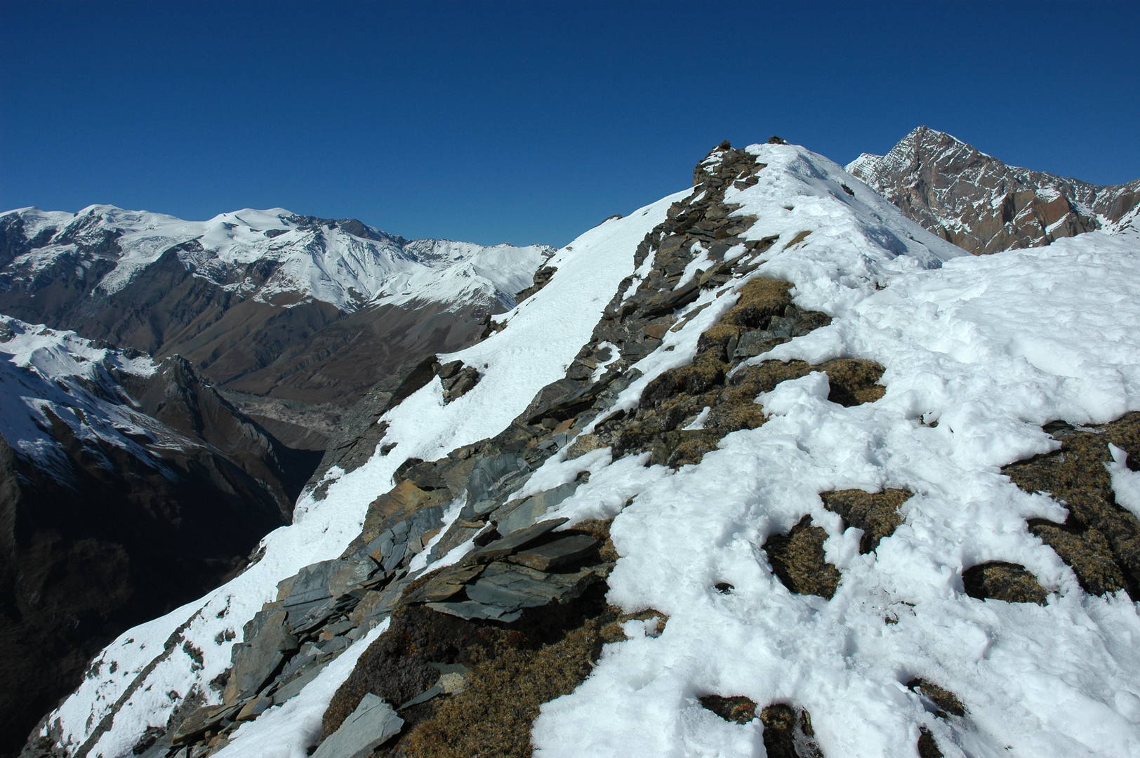
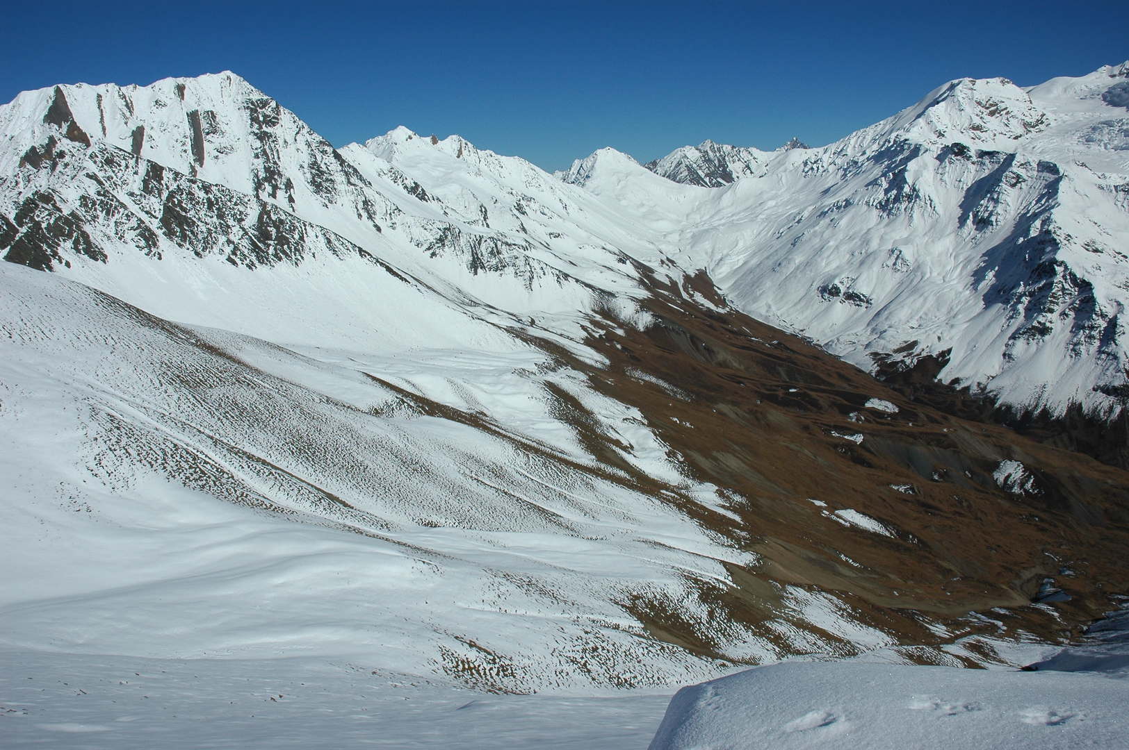
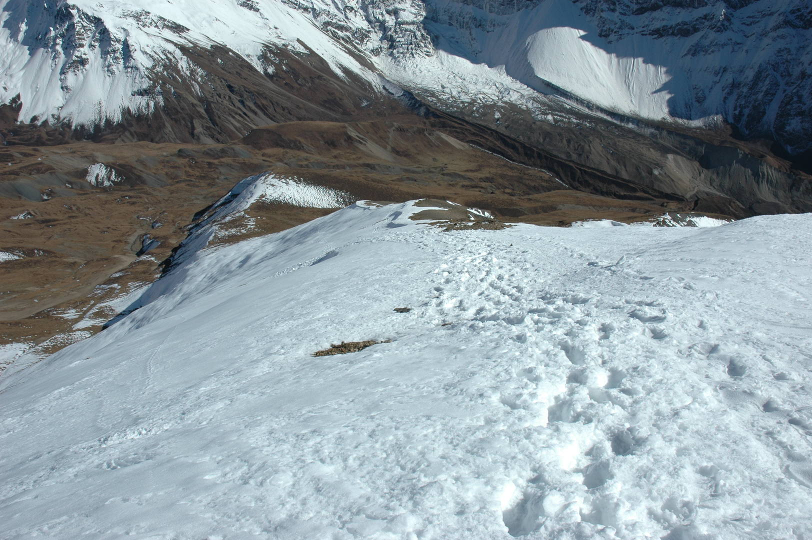
Samdo Ri approach :: the mild eastern slopes
Samdo Ri approach :: climbing slowly…
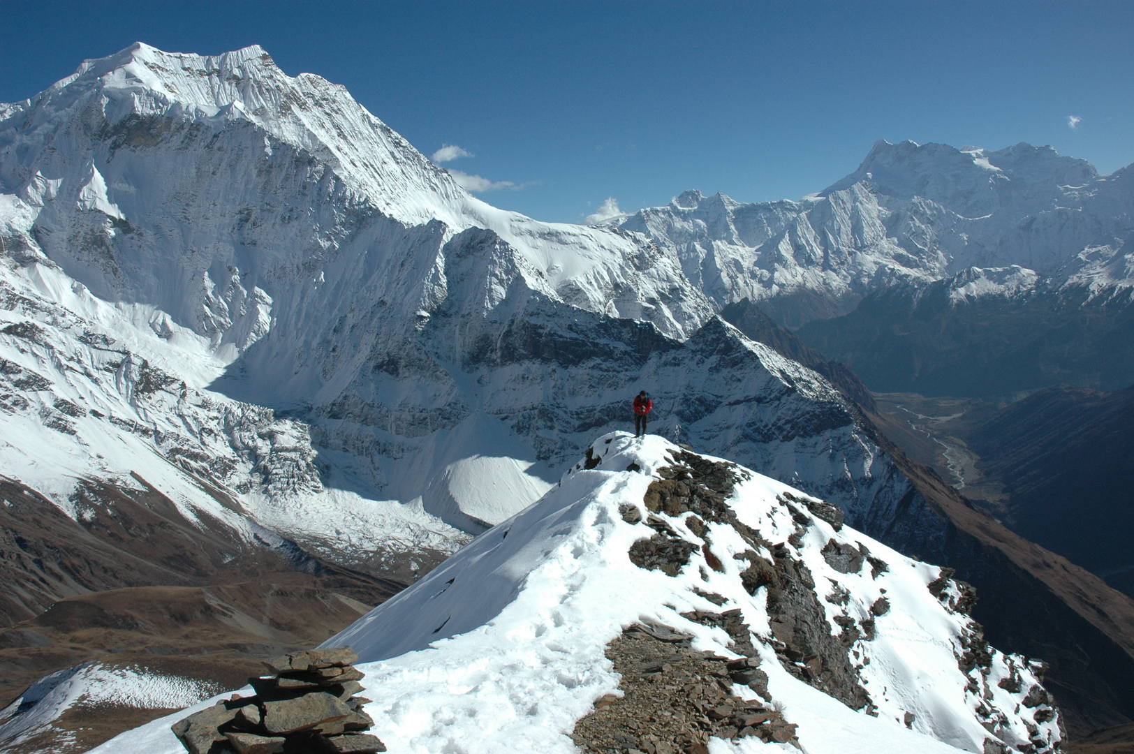
Samdo Ri approach :: the characteristic Samdo Peak behind
Samdo Ri approach :: the view towards Manaslu (behind) and Naike Peak (in front)
Samdo Ri :: the last heavy steps to the top of the hill
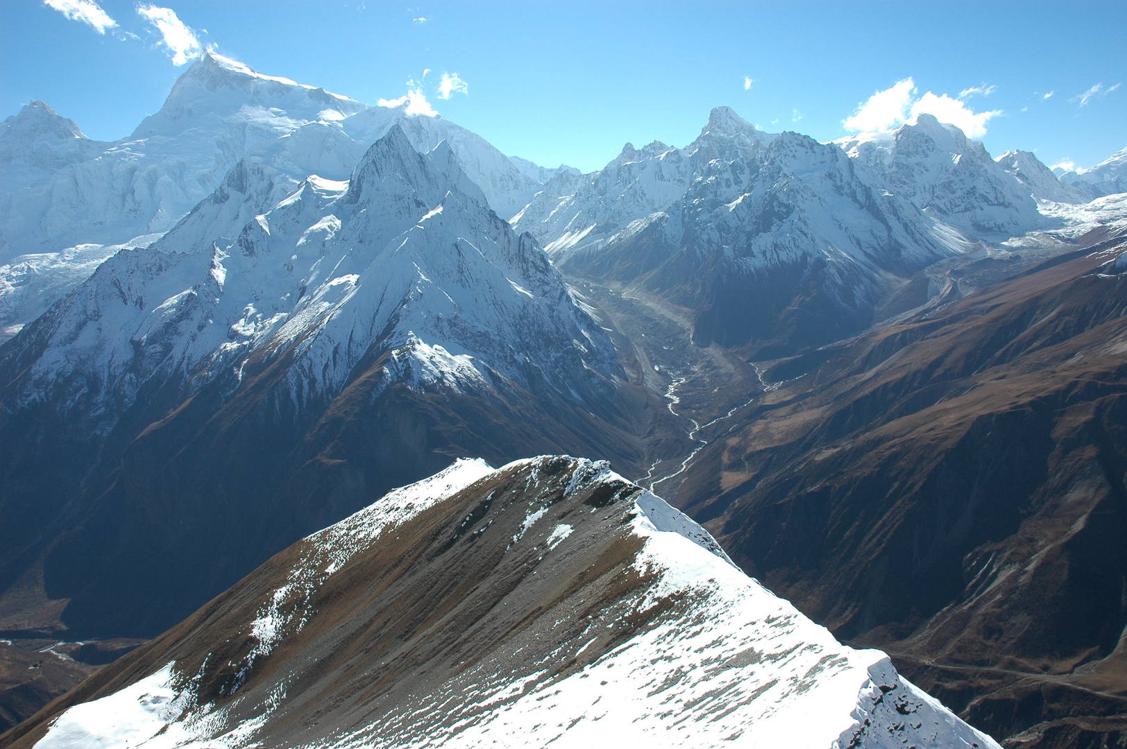
Samdo Ri :: the view SE, Samdo Peak, the valley with Samagaon, the Himalchuli behind the Simnang Himal
Samdo Ri :: the view SW, Manaslu over the Naike Peak, Larkya Himal
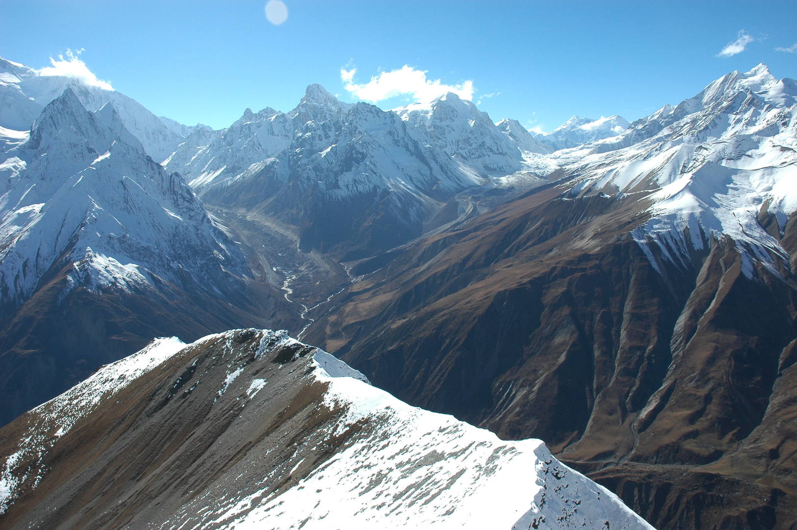
Samdo Ri :: the view W, Larkya La approach, valleys of Syacha and Larkya Glaciers
Samdo Ri :: the view NW, Cho with Himlung Himal behing, Gyala, Fukang Glacier
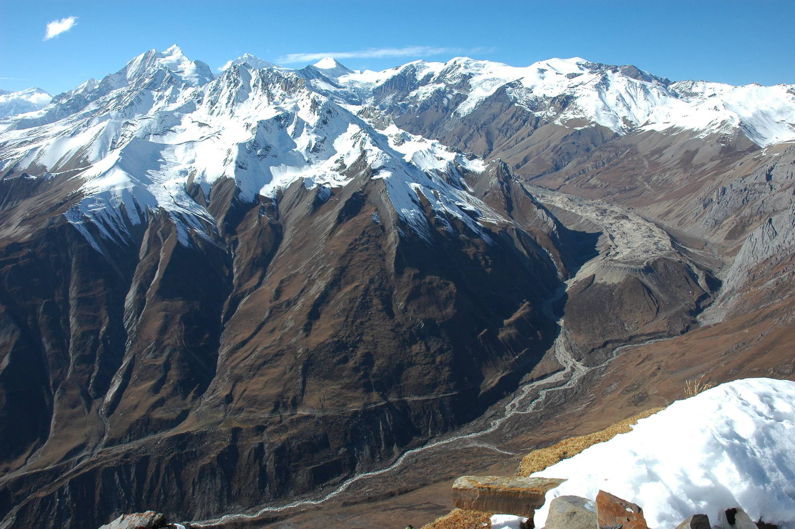
Samdo Ri :: the view N, Swelokhan and Lajyung Himal – the Tibetan border
Samdo Ri :: the view E, Tasa Peak, Lajyung La and Hayang La surroundings
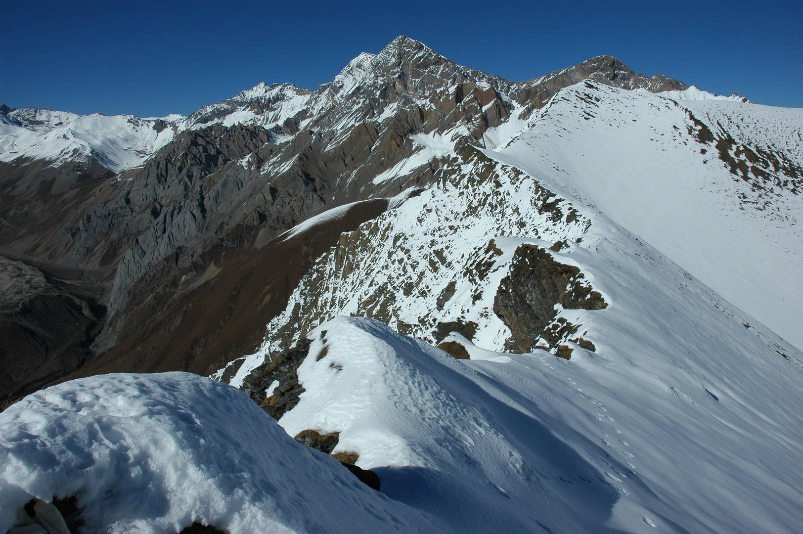
Samdo Ri :: the trail to Larkya La zoomed, Kang Guru Himal behind
Samdo Ri :: Manaslu zoomed
Samdo Ri descent :: going down, down
Samdo Ri descent :: the old trade route via Lajyung La and Hayang La leading to Tibet
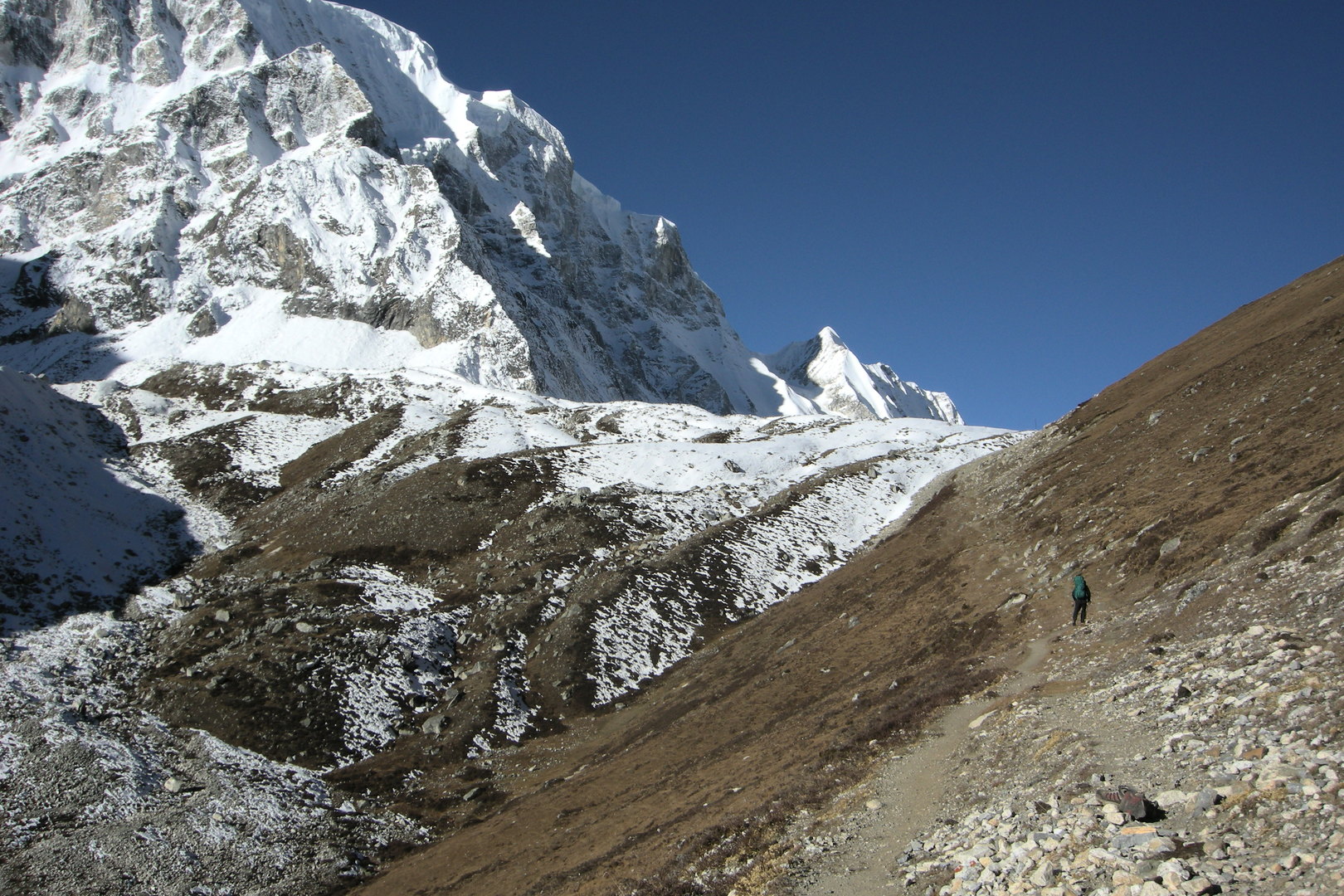
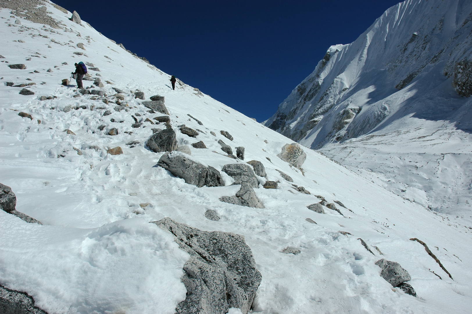
Larkya Phedi approach :: one of the first steel poles marking the route :: Larkya Peak behind
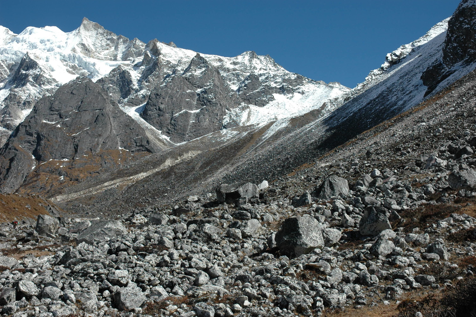
Larkya Phedi approach :: eroded slopes
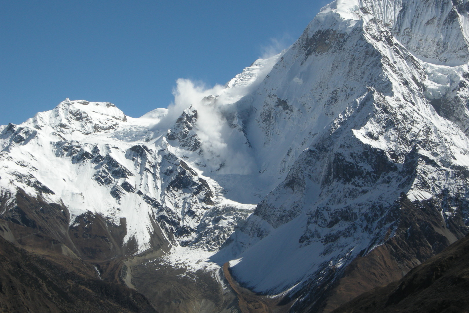
Larkya Phedi approach :: an avalanche on the Samdo Peak slopes
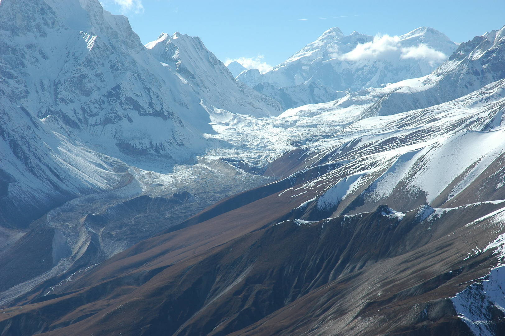
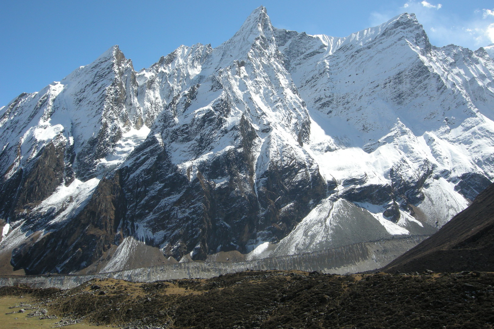
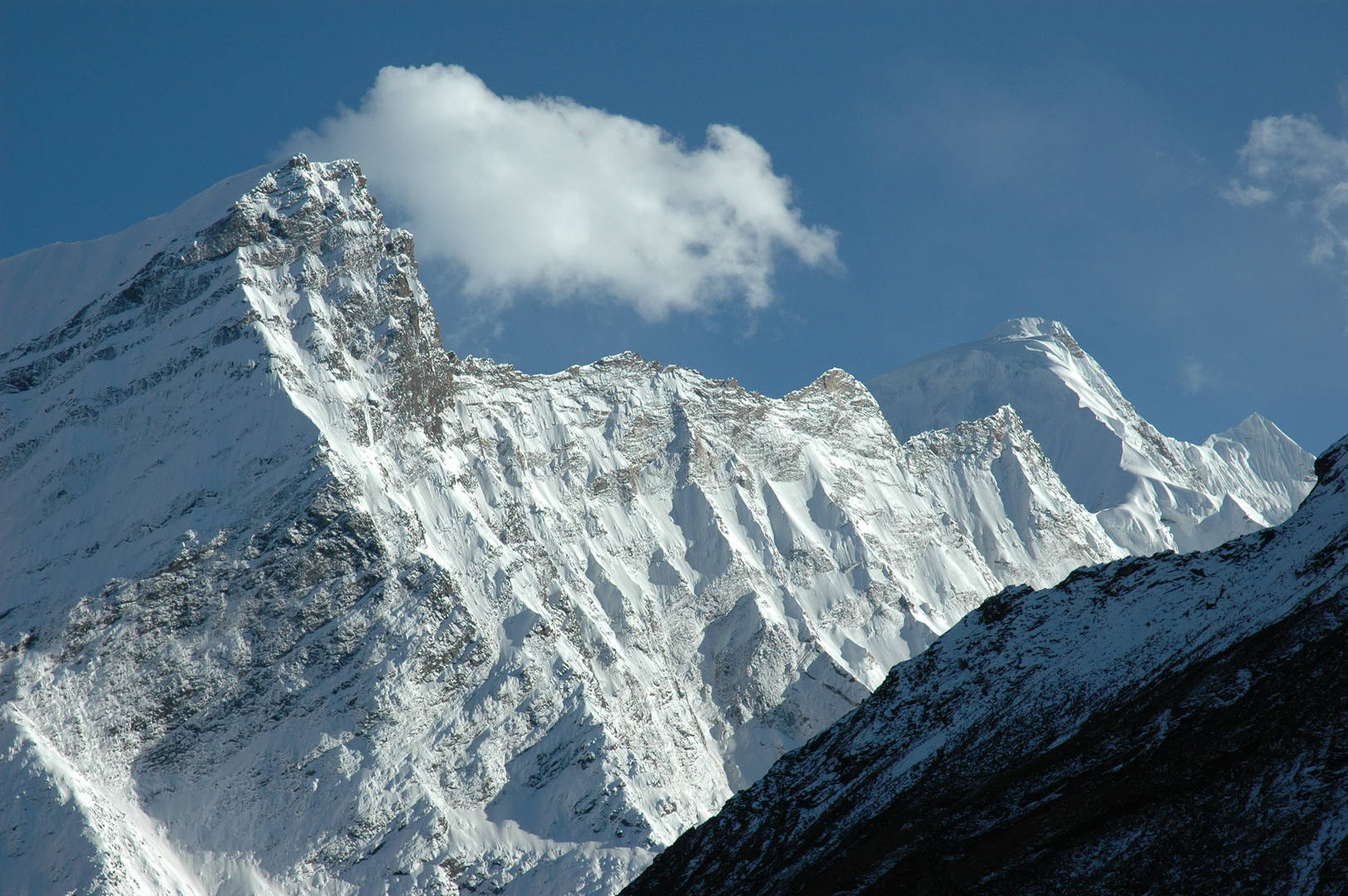
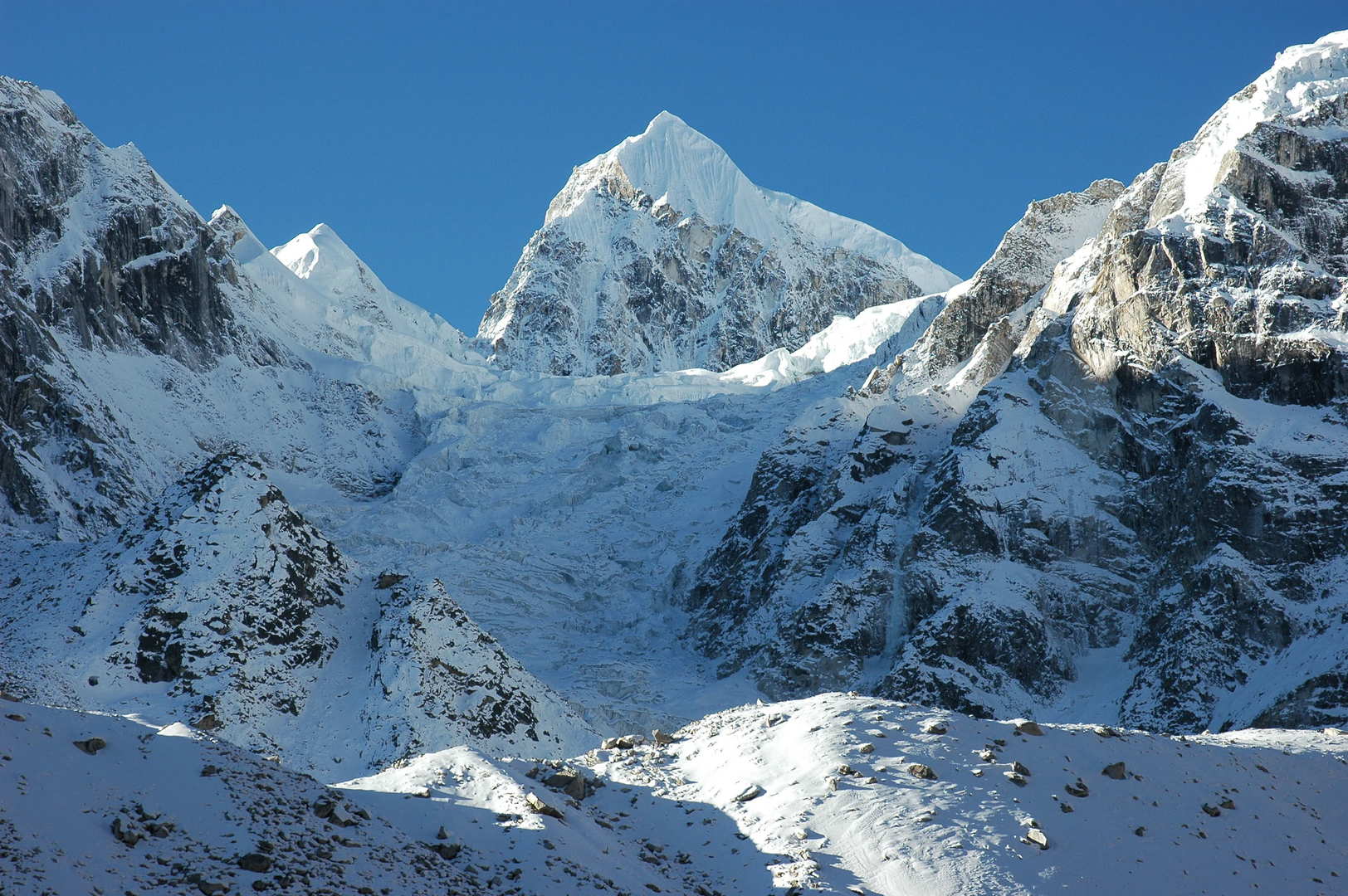
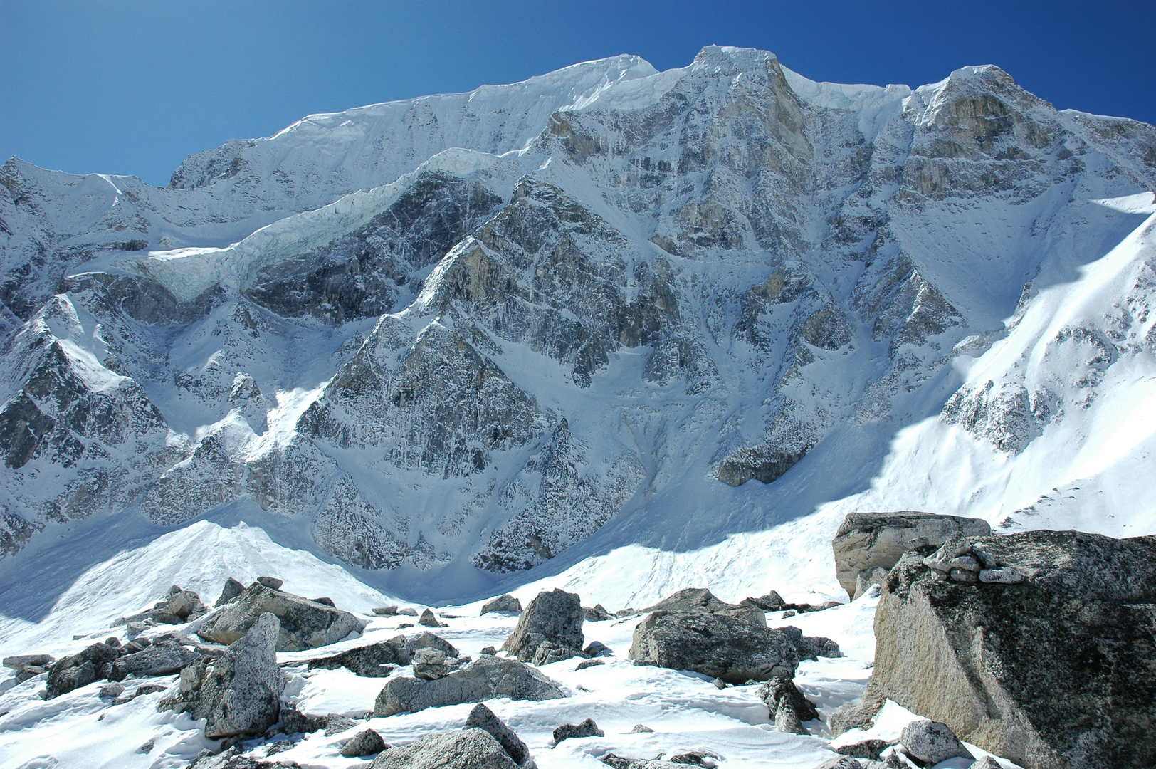
Larkya Phedi approach :: Syacha Glacier, Naike Peak ridges above, Manaslu North
Larkya Phedi approach :: Samdo Peak
Larkya Phedi approach :: Syacha Glacier, Manaslu North
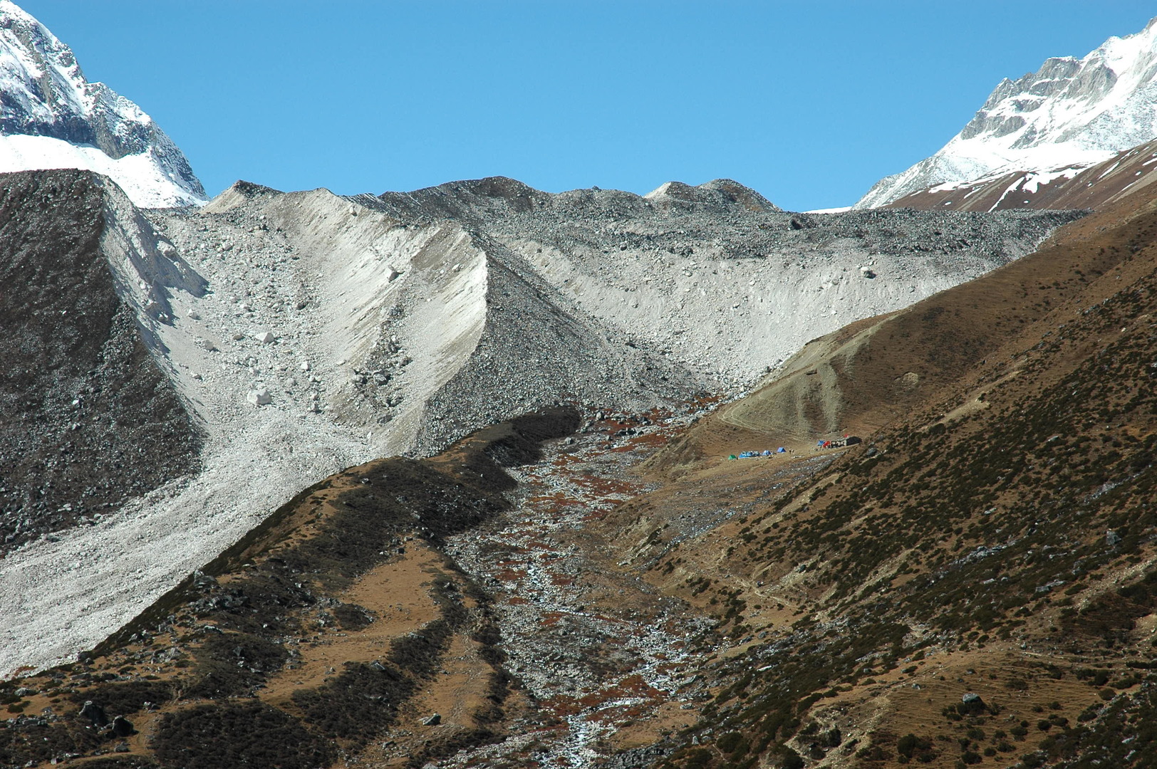
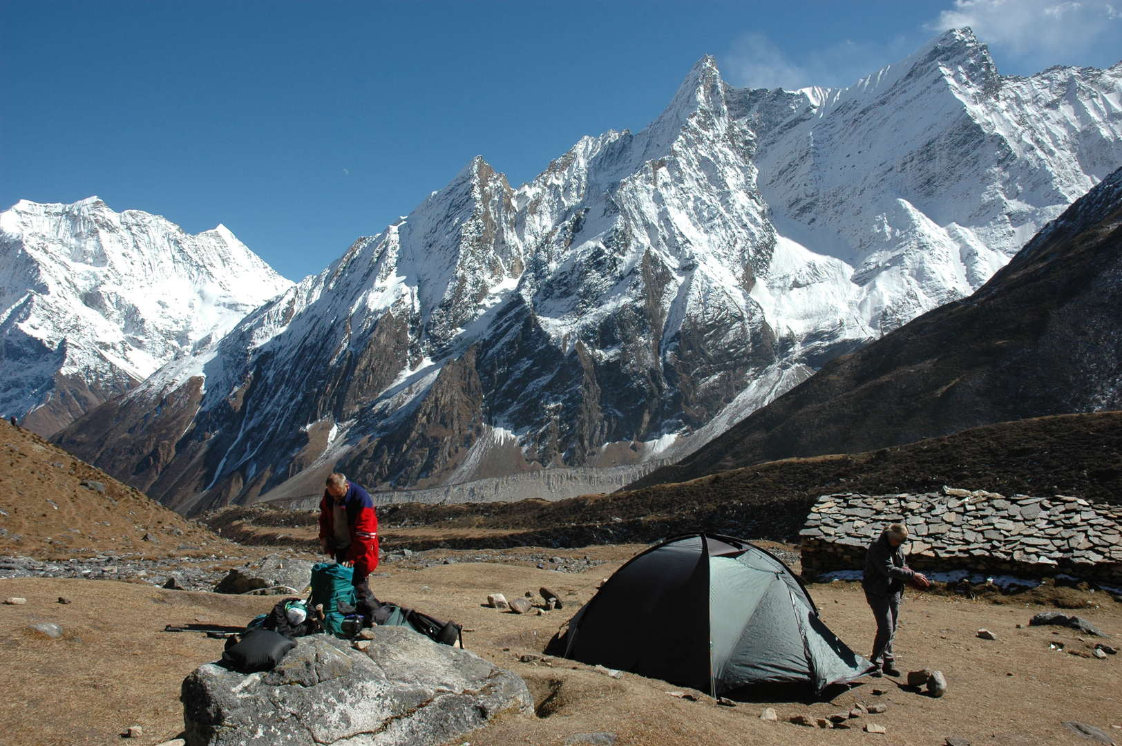
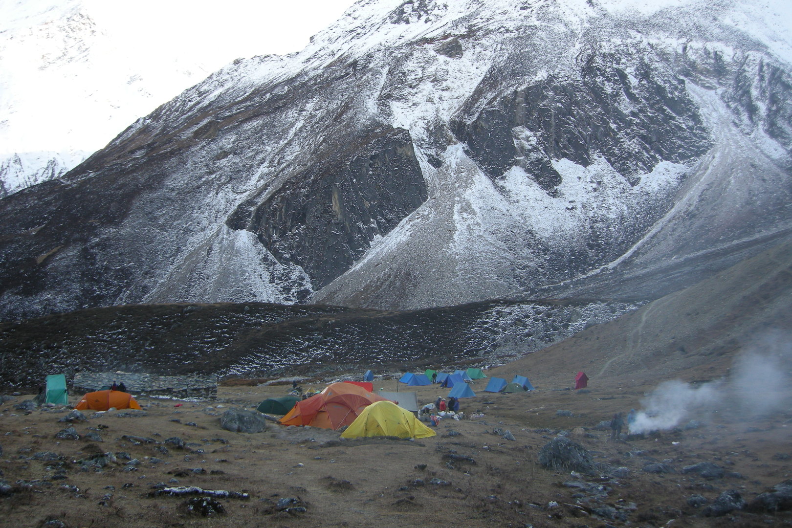
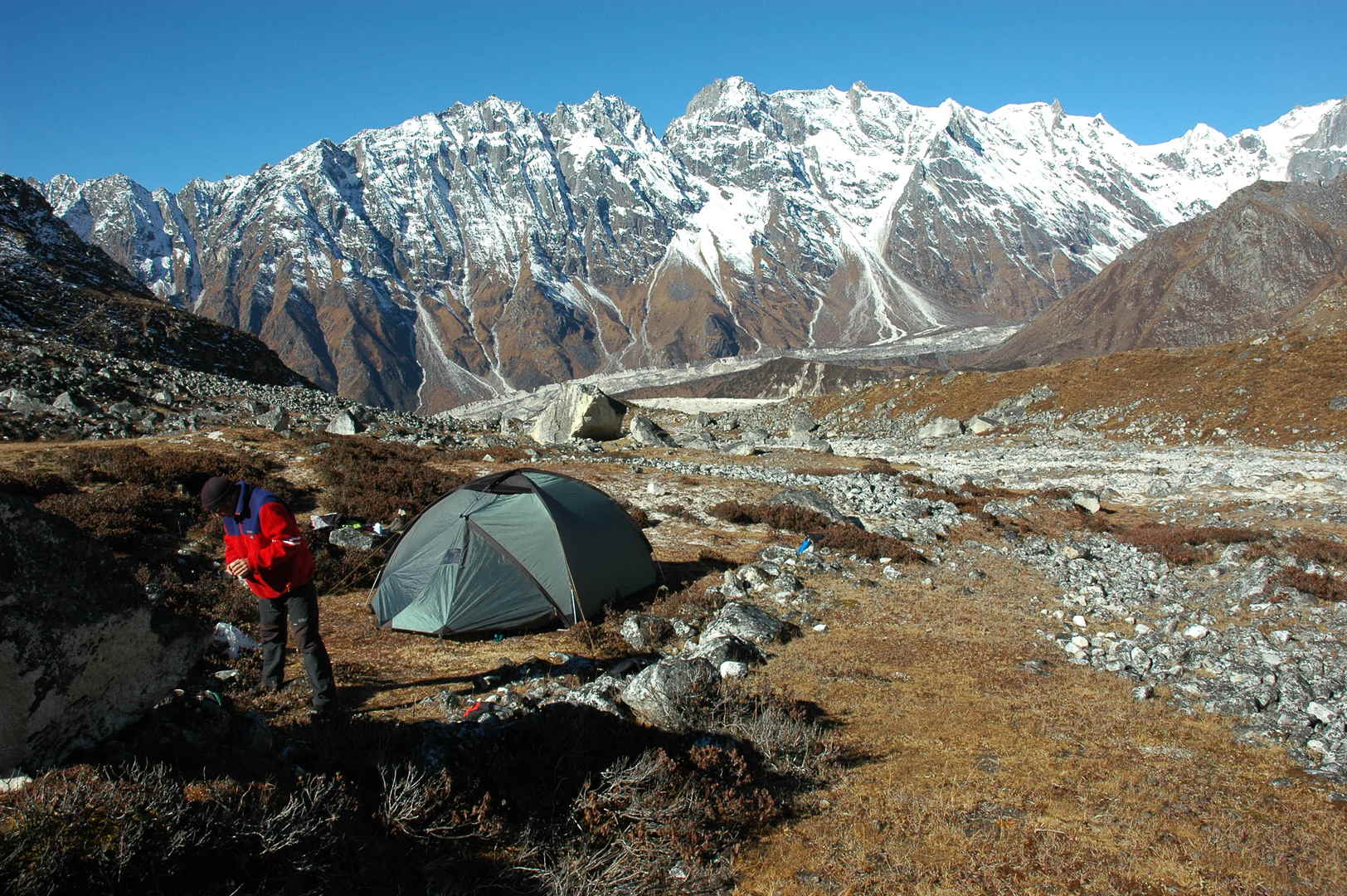
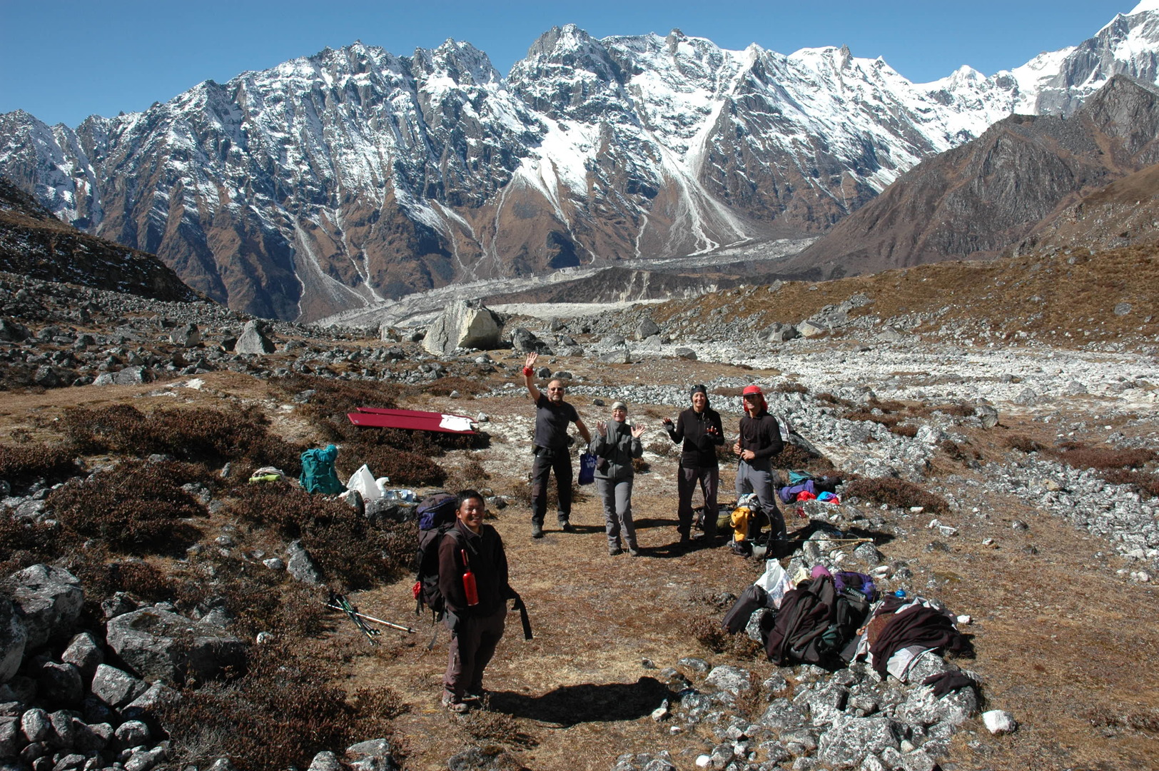
Larkya Phedi approach :: the campsite in sight, just below the glacier front morraine
Larkya Phedi approach :: the campsite in sight, zoomed
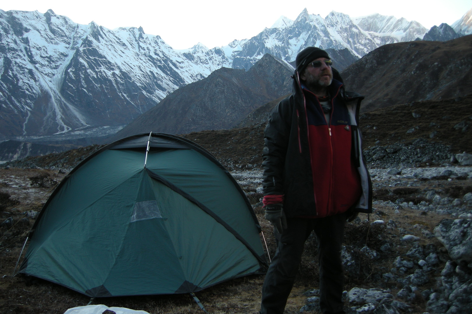
Larkya Phedi :: the campsite surroundings :: Naike Peak ridges over the Syacha Glacier morraines
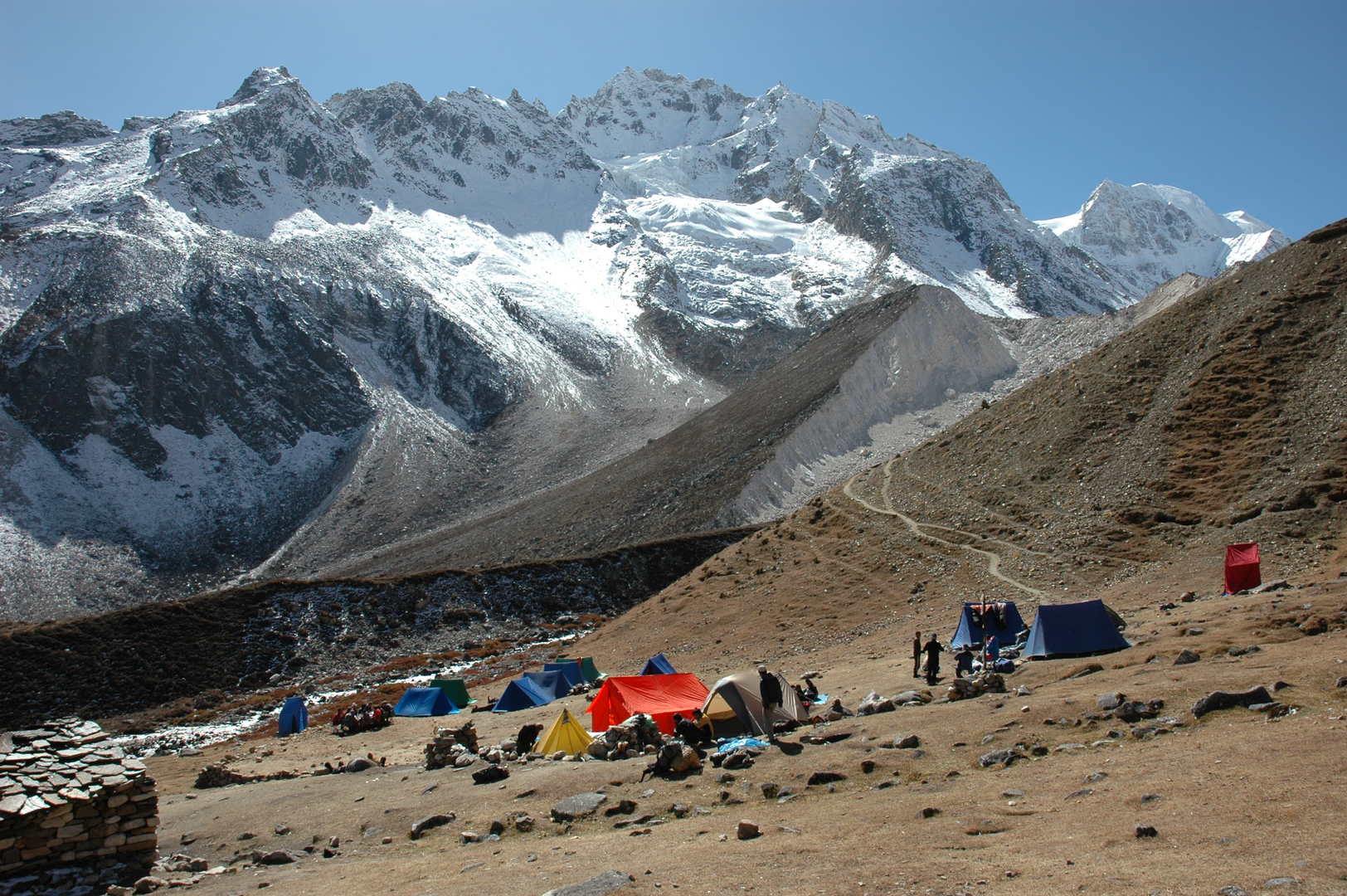
Larkya Phedi :: the campsite
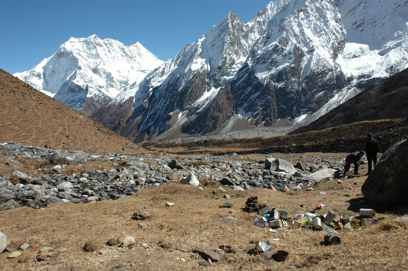
Larkya Phedi :: the industrial trekking pollution
Larkya Phedi :: the campsite in the sun, Samdo Peak, Naike ridges
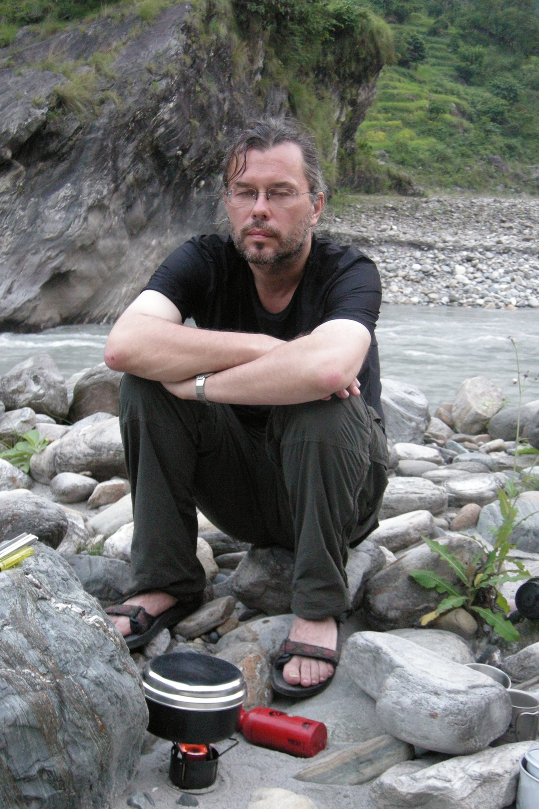
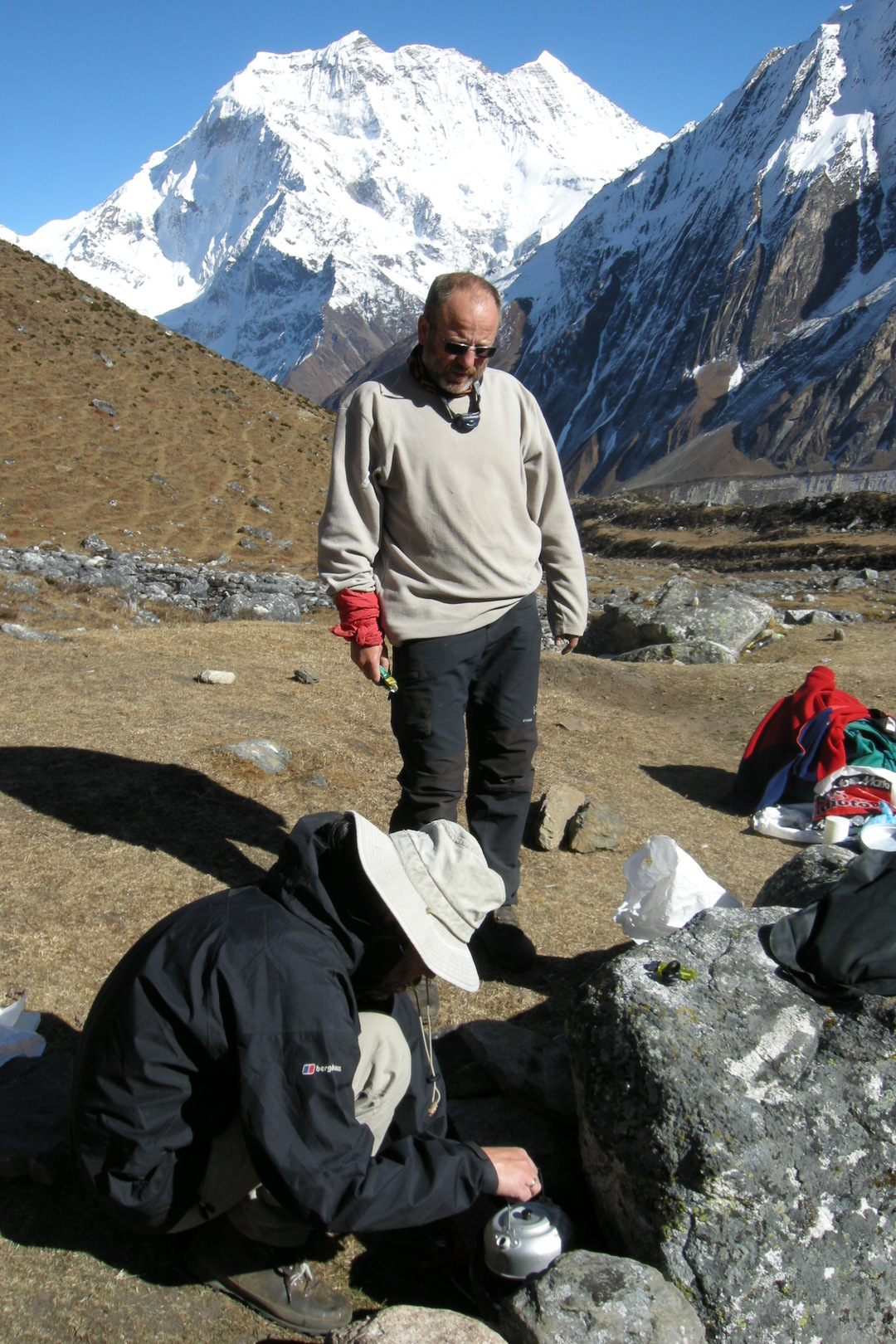
Larkya Phedi :: cooking
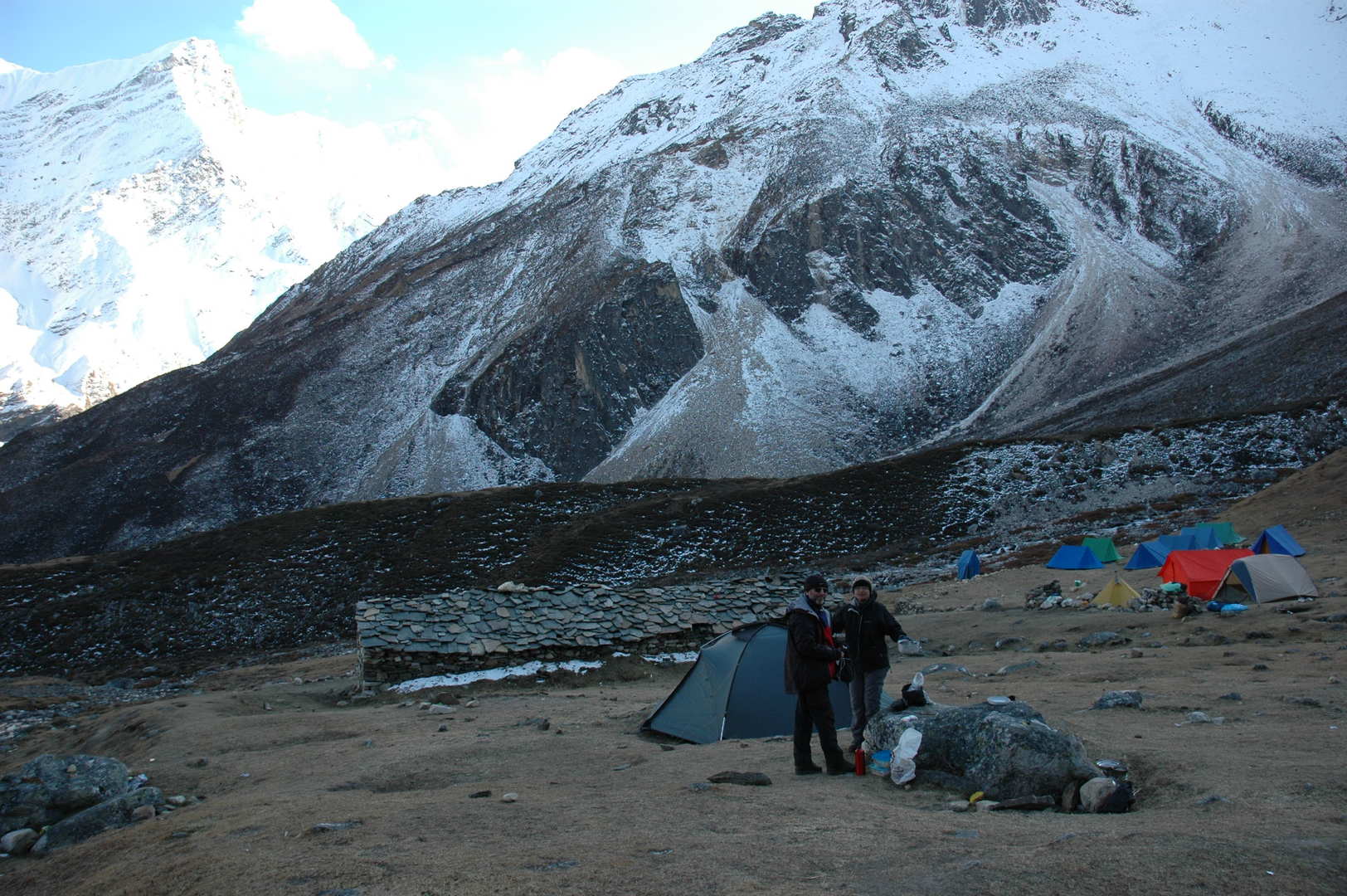
Larkya Phedi :: the campsite in the shadow
Larkya Phedi :: Naike, still in the sun
Larkya Phedi :: the slowly freezing camp
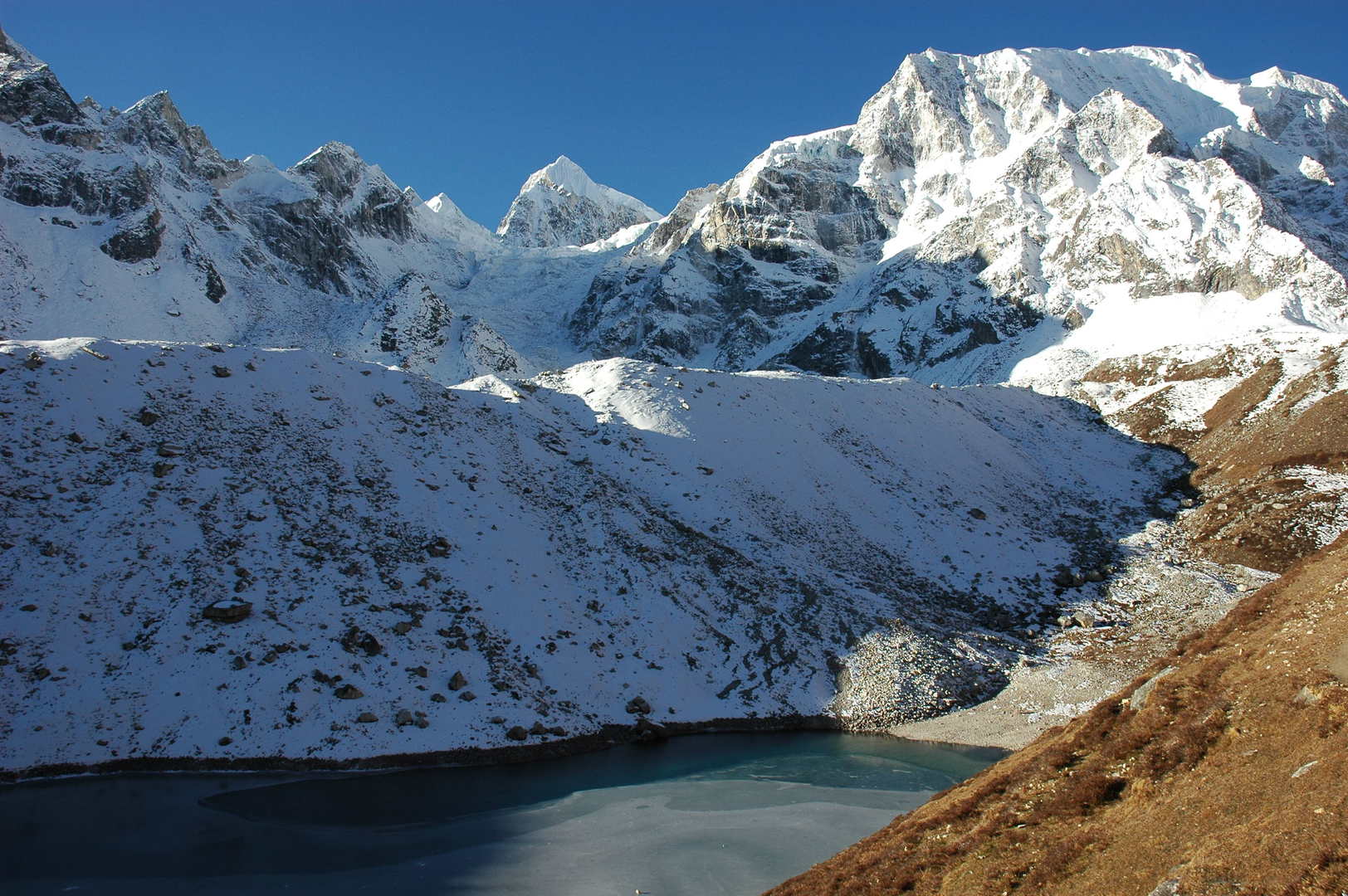
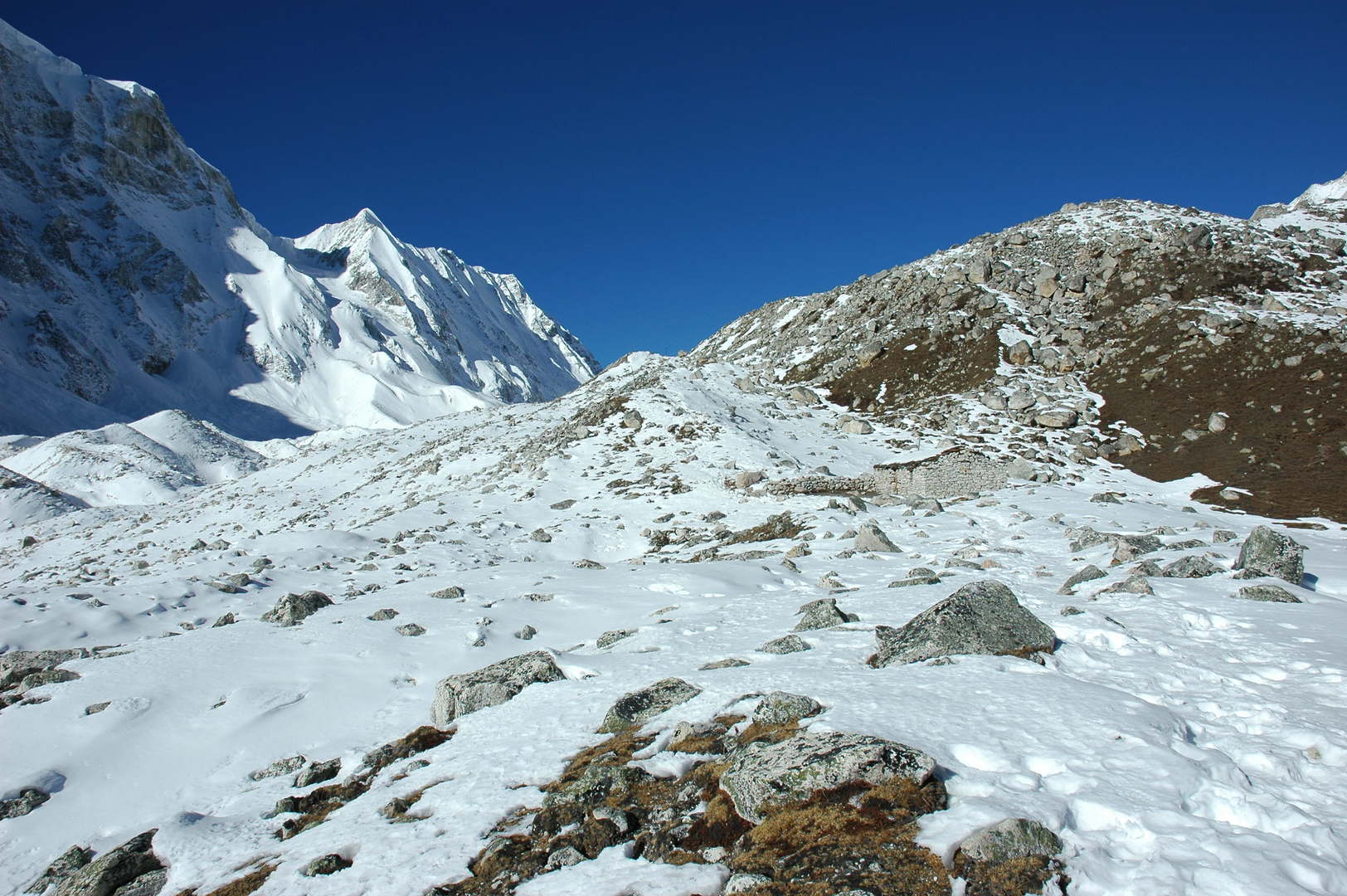
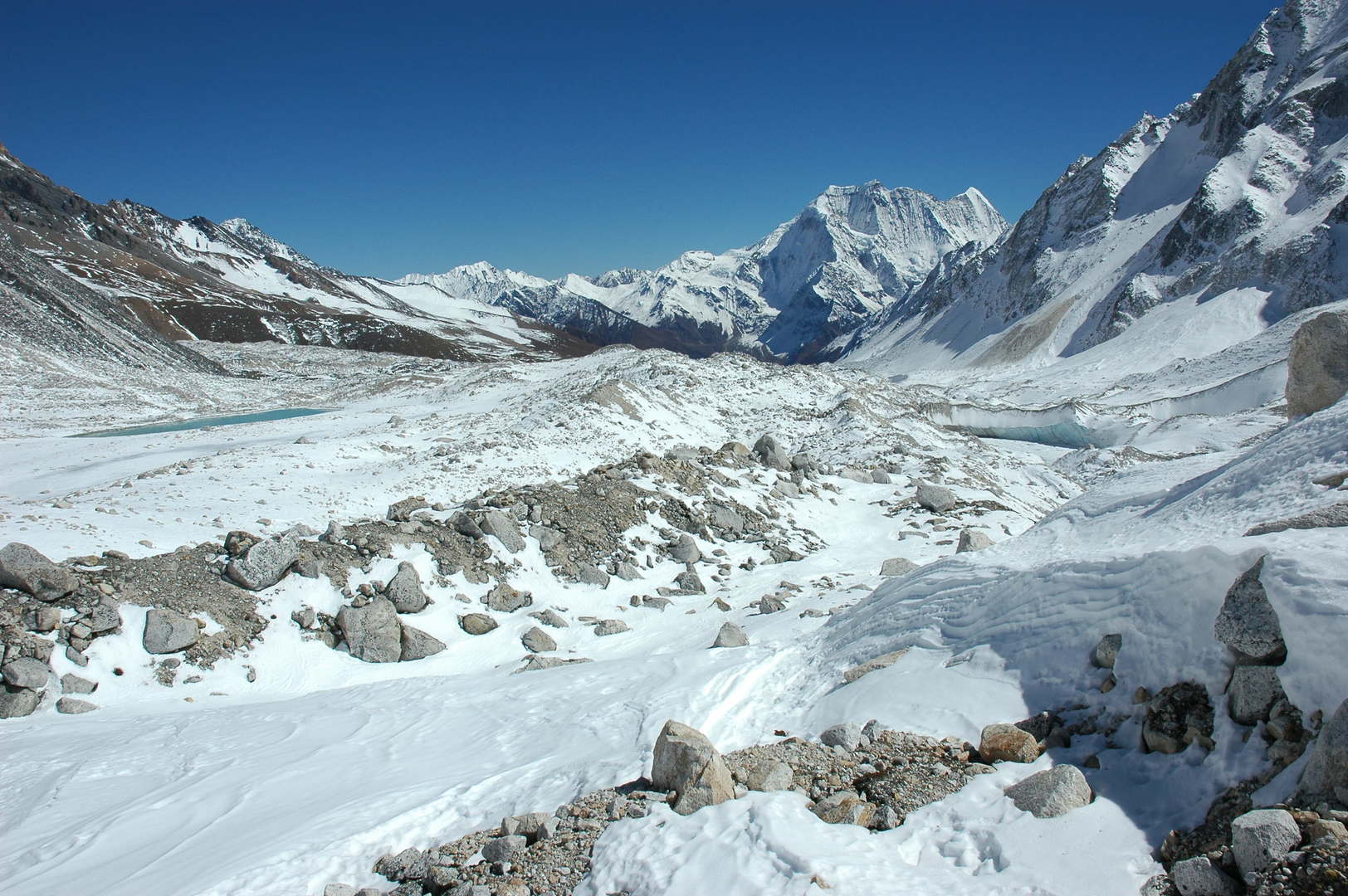
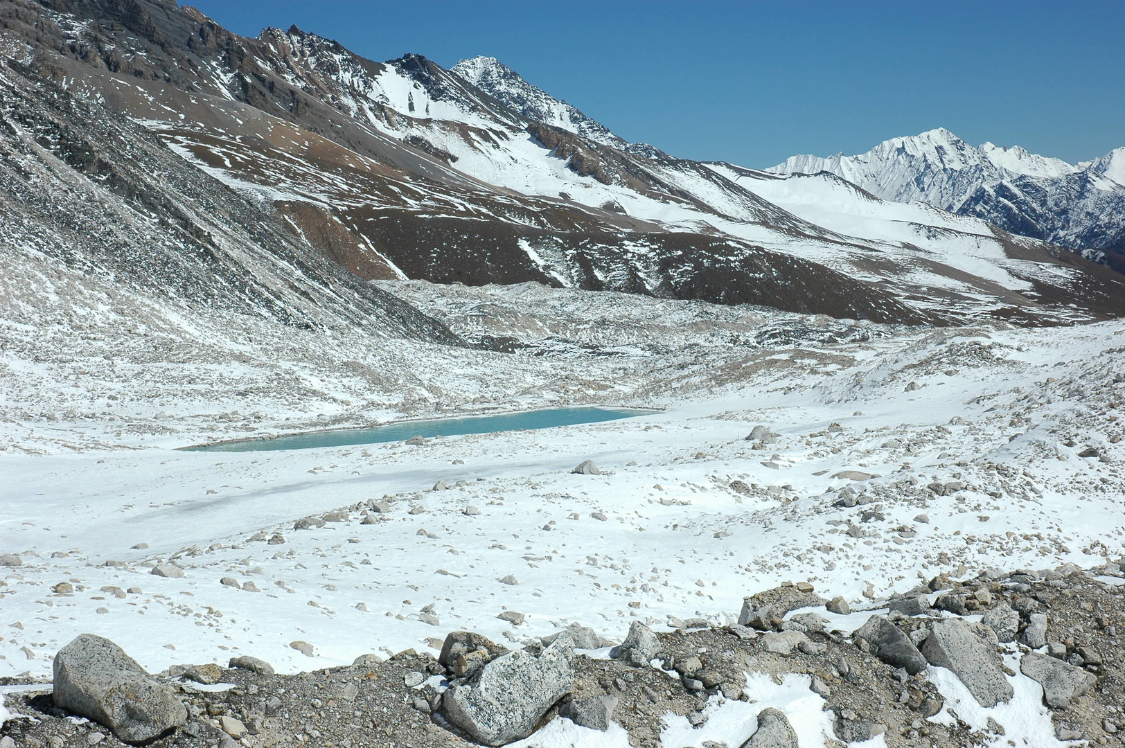
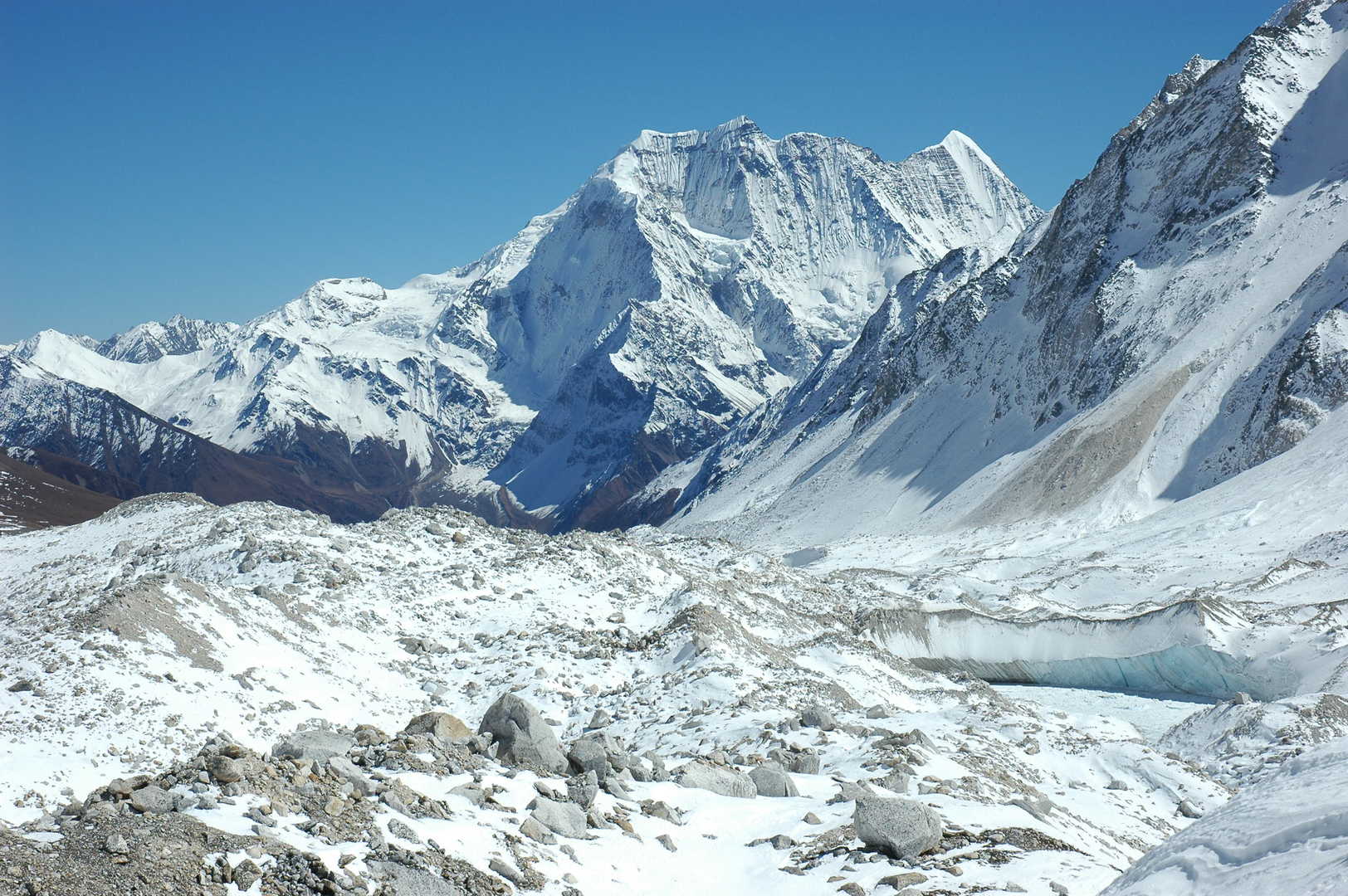
Larkya La approach :: the first green lake
Larkya La approach :: Peak 6146 to the south
Larkya La approach :: leaving the lake towards the glacier
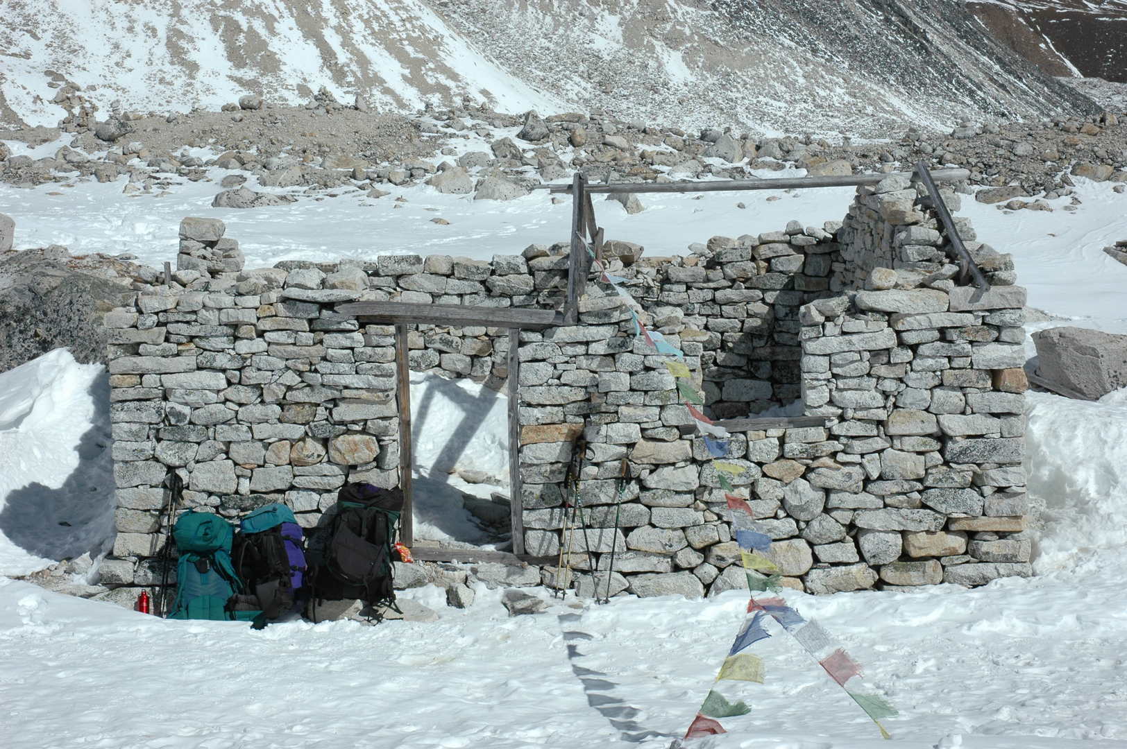
Larkya La approach :: a (new?) shelter by 4900m
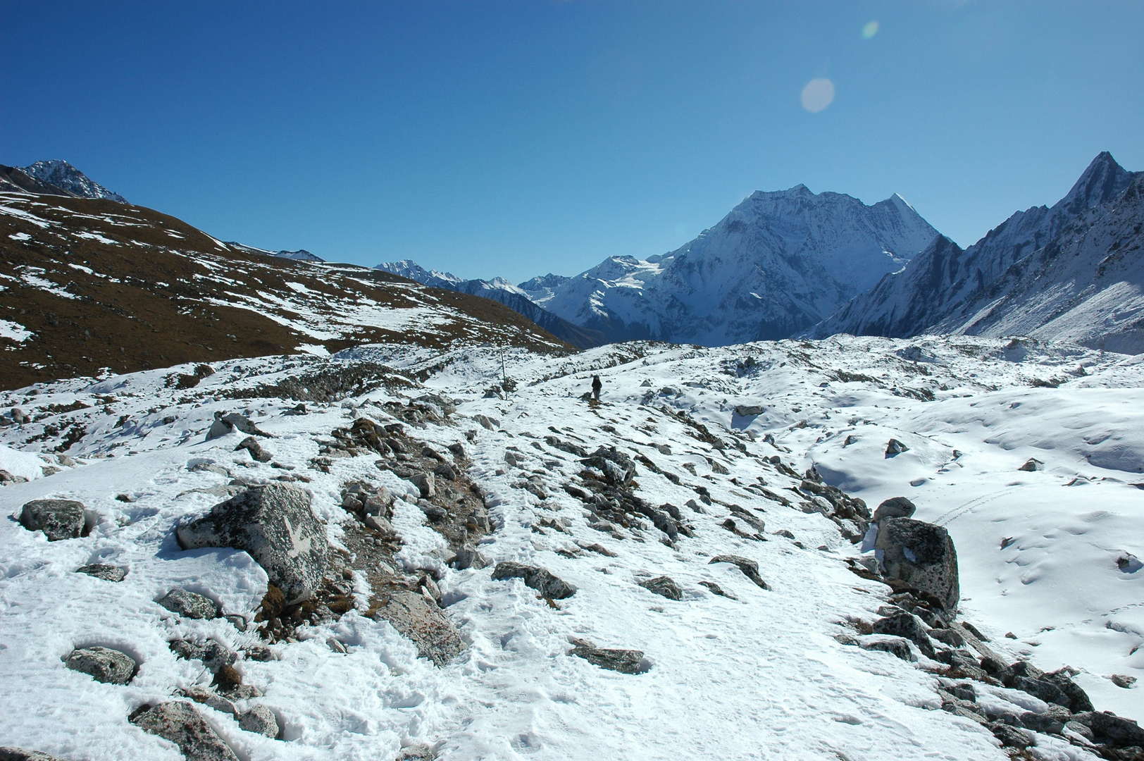
Larkya La approach :: following the northern Larkya glacier morraines
Larkya La approach :: what do -you- want here?
Larkya La approach :: following the northern Larkya glacier morraines
Larkya La approach :: where is the pass?
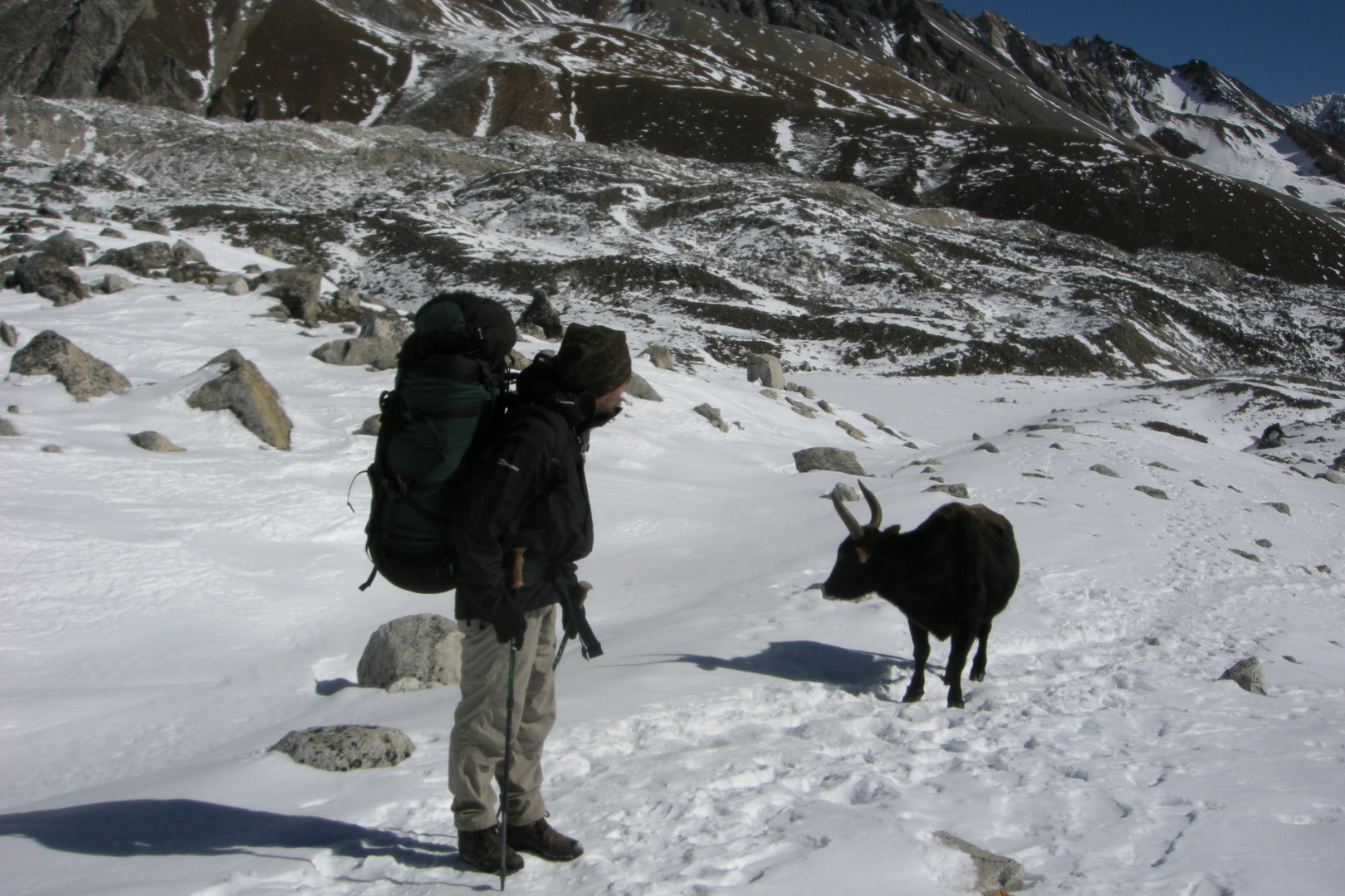
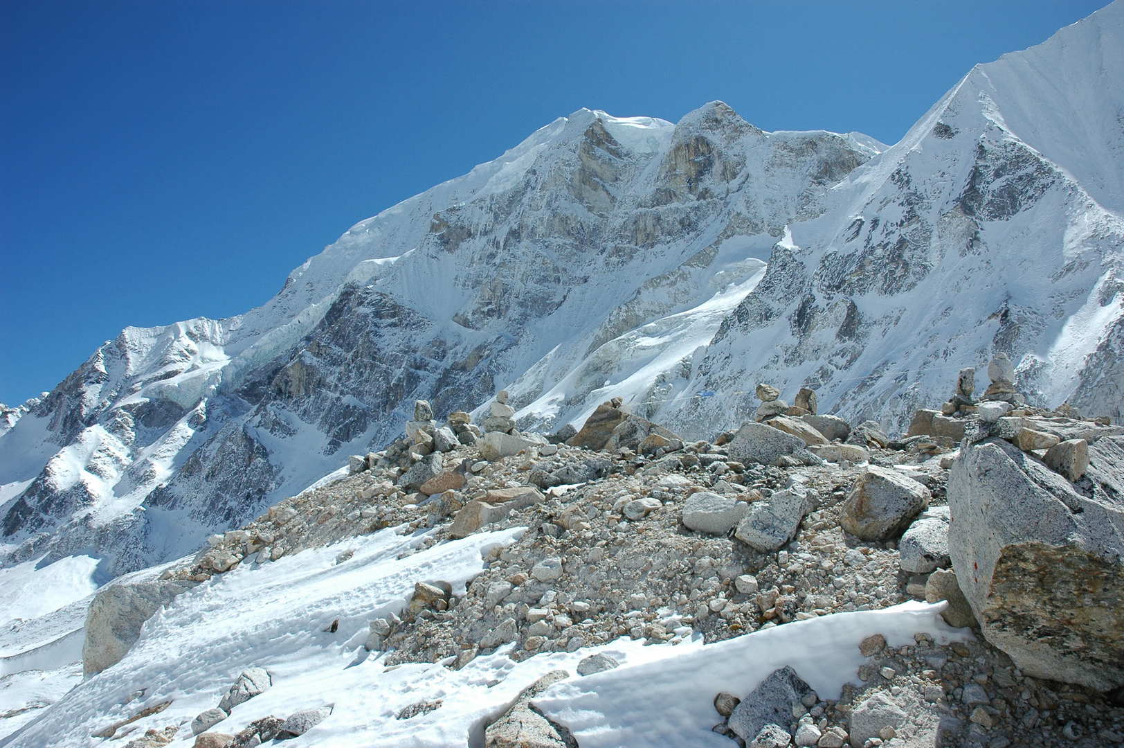
Larkya La approach :: on the side morraine, Larkya Peak slopes
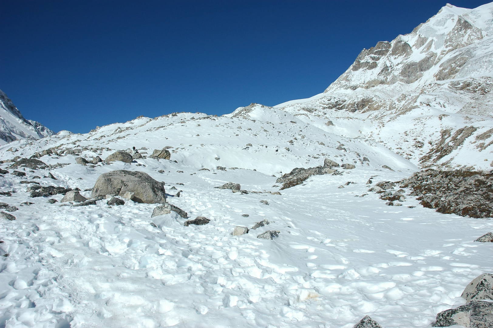
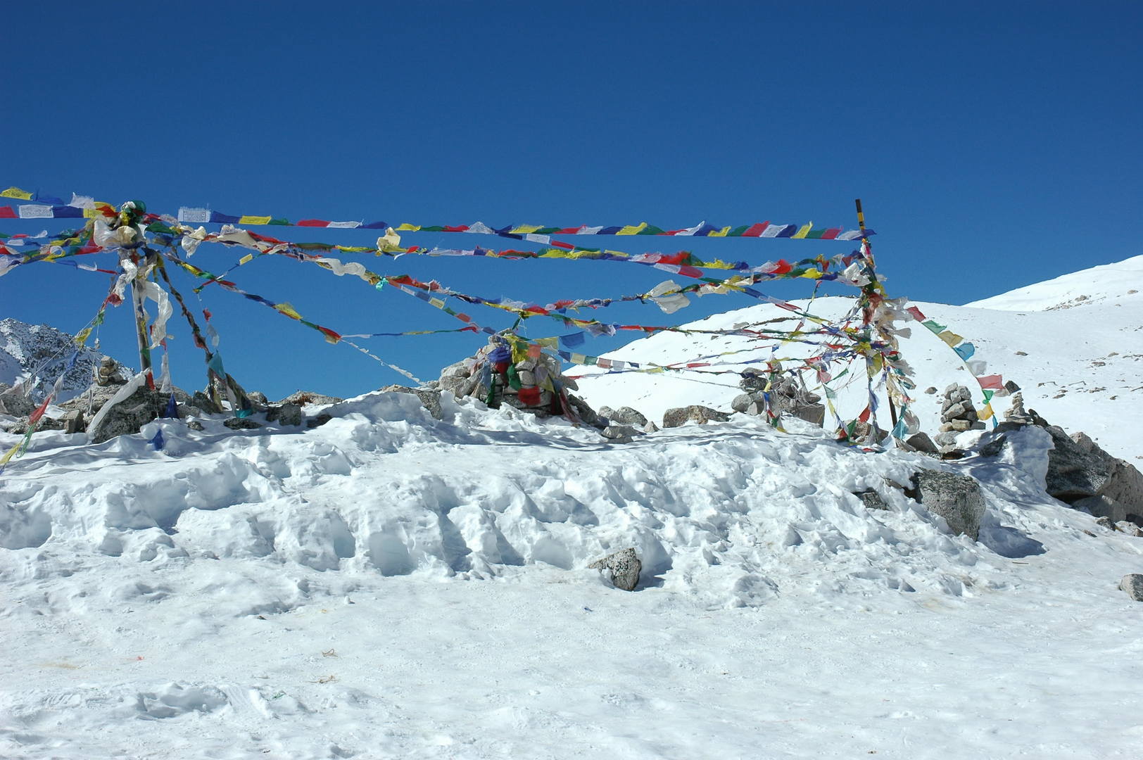
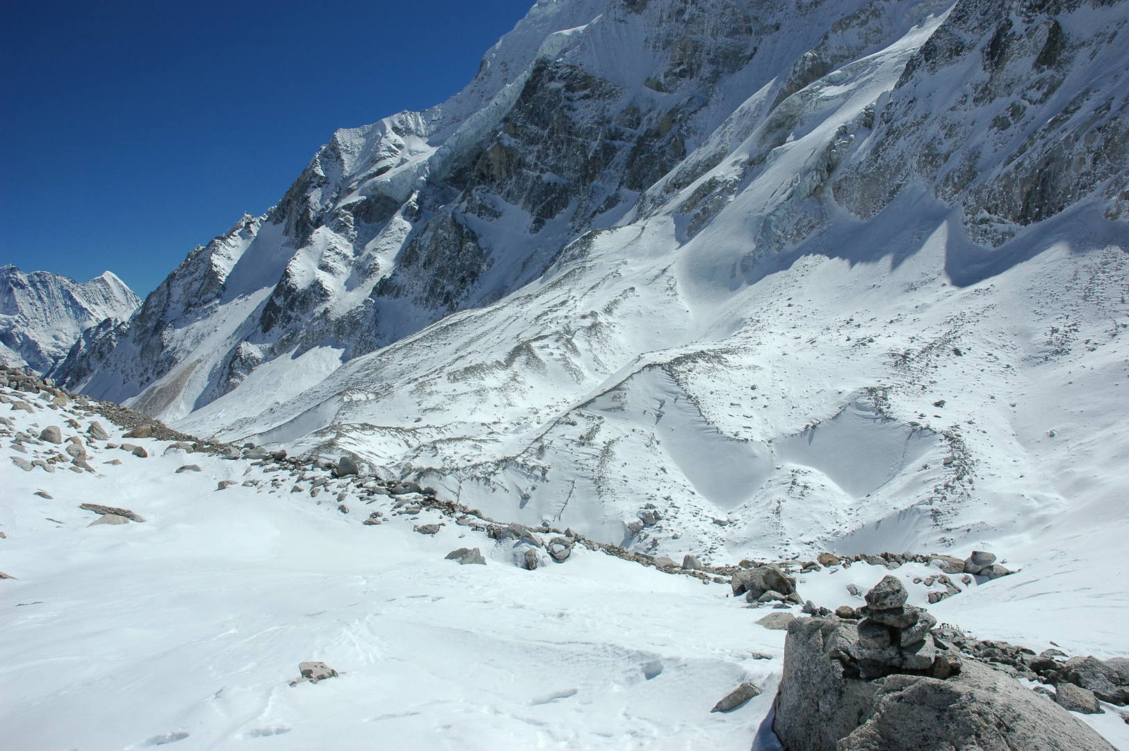
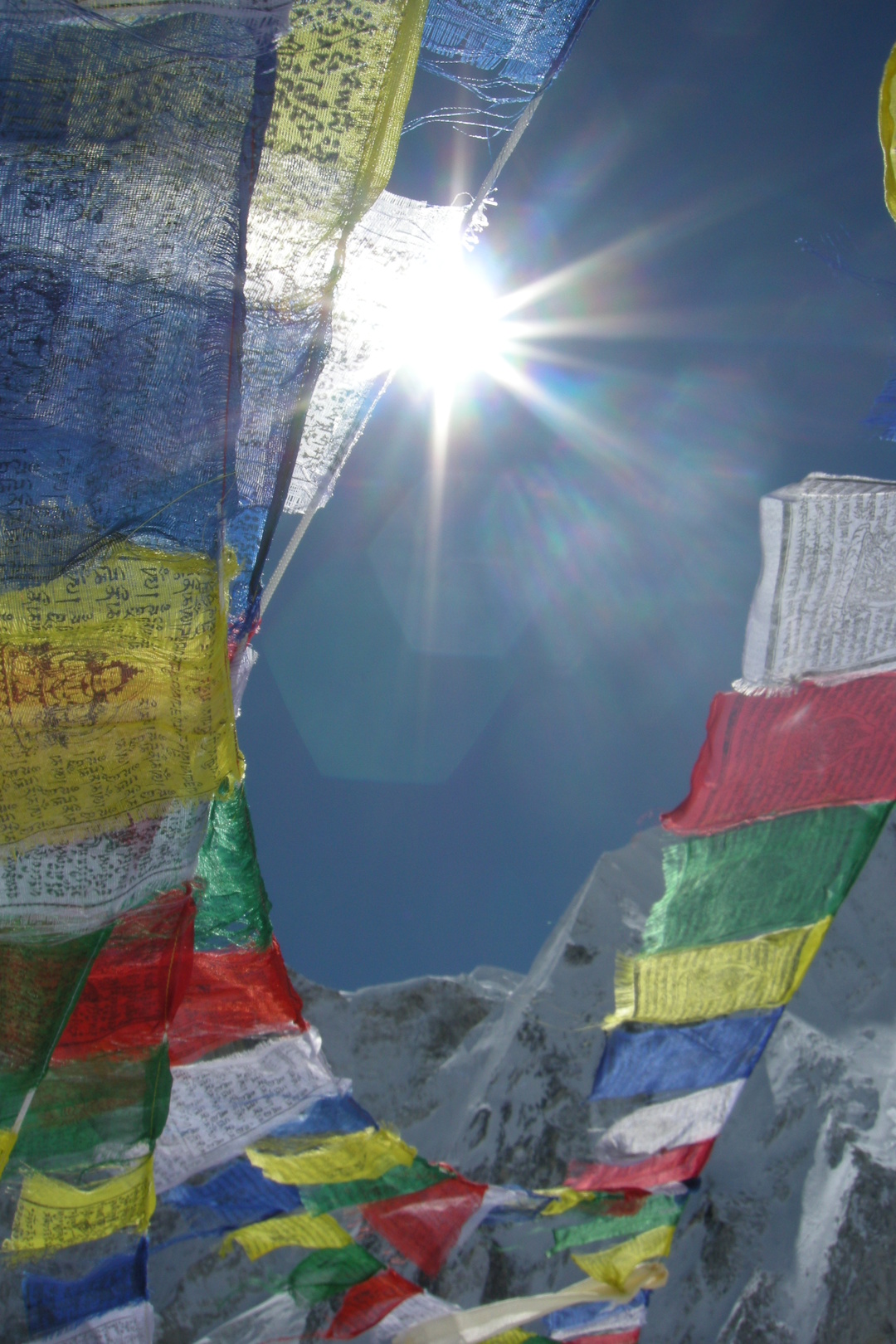
Larkya La :: lung-ta, the prayer flags on the highest place
Larkya La :: the destroyed shelter
Larkya La :: looking to the glaciated pass below
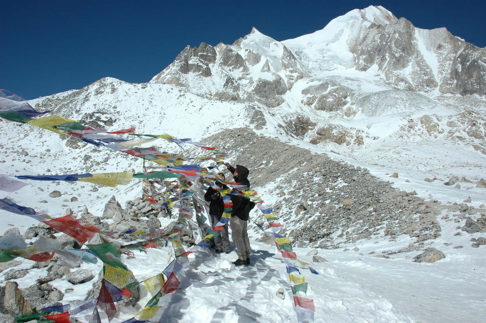
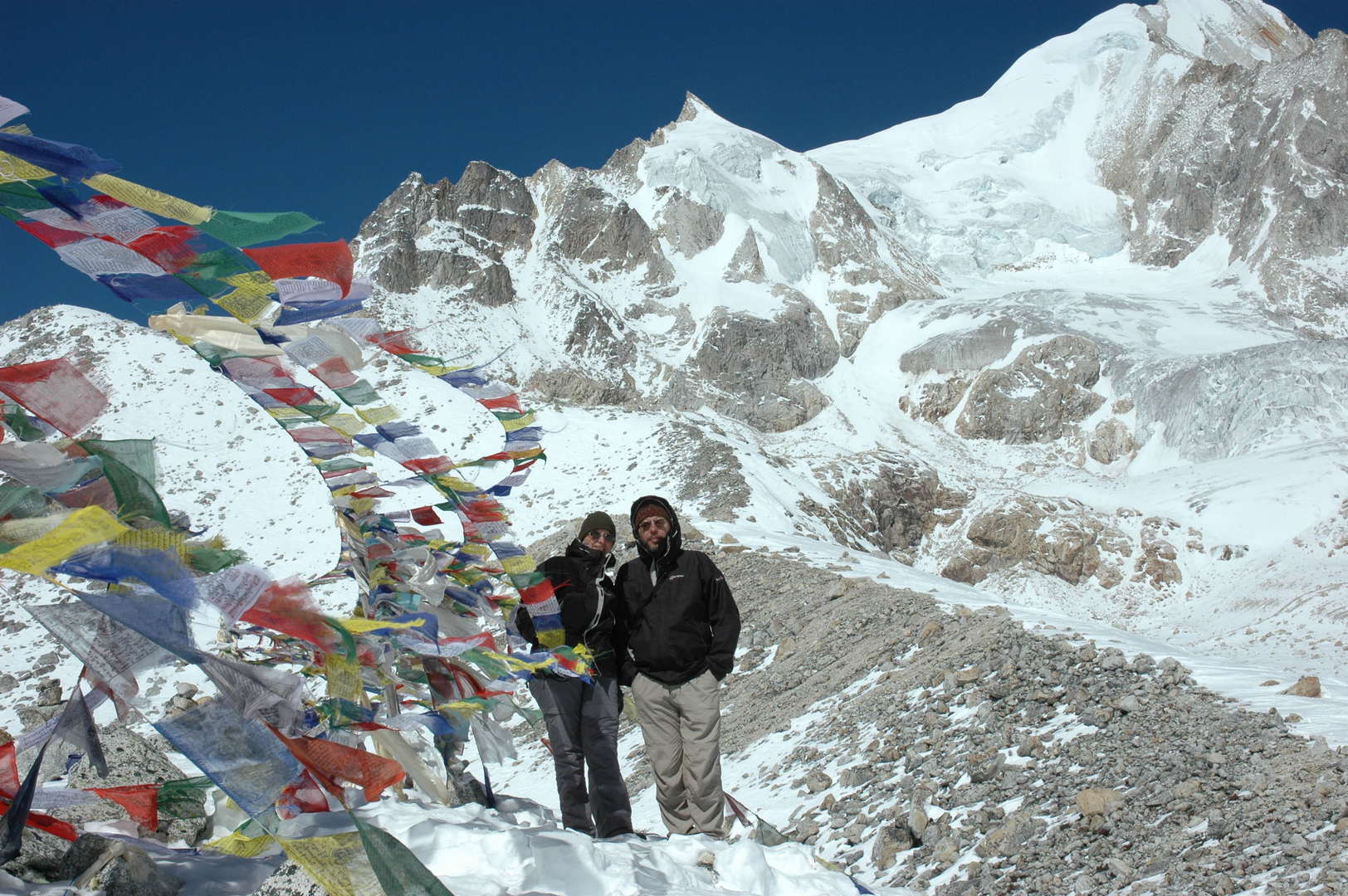
Larkya La :: adding our flags…
Larkya La :: adding our flags…
Larkya La :: lung-ta
Larkya La :: the obligatory top photo
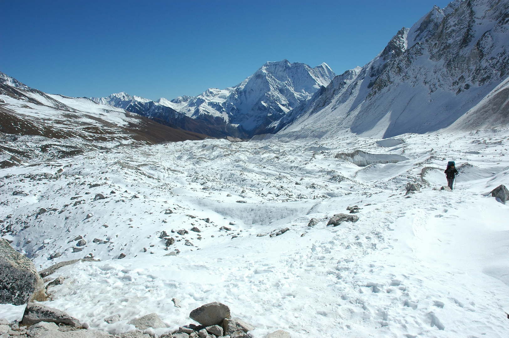
Larkya La :: looking east :: the frozen lakes in the retreat area, morraines, Larkya Glacier, Samdo Peak…
Larkya La :: the lakes in the glacier retreat area
Larkya La :: the Larkya Glacier
Larkya La :: Larkya Peak slopes
Larkya La :: looking west :: Kang Guru Himal, Tilje, Gyaji Kang, Nemjung
Descend from Larkya La :: descending along a morraine, an iron pole with katas
Descend from Larkya La :: the slippery descent traversing steep snowed scree slopes
Descend from Larkya La :: Larkya Peak slopes
Descend from Larkya La :: Kang Guru Himal, Tilje, Gyaji Kang, Nemjung, Himlung Himal
Descend from Larkya La :: three glaciers junction to form Bimtang Glacier – Kechhakyu, Ponkar and Sapudada
Descend from Larkya La :: Kang Guru Himal behind the Tibikle Panlemu ridges :: the green is Ponkar Tal
Descend from Larkya La :: Cheo Himal over the upper Salpudada Glacier
Pheriche :: the camp
Pheriche :: the western Larkya La approach
Pheriche :: freezing :: it is time for sleep
Pheriche :: visitors in the camp
Thonbuche Kharka :: descending towards Bimtang meadows, reached the tree line
Thonbuche Kharka :: Manaslu, Phungge Himal (above) and Bimtang (below) in sight
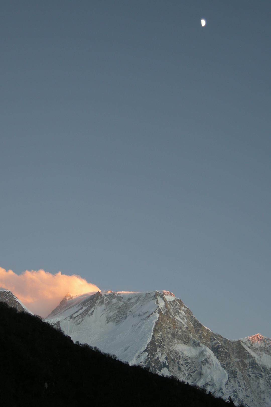
Thonbuche Kharka :: Manaslu with the usual cloud, zoomed
Thonbuche Kharka :: Phungge Himal, zoomed
Thonbuche Kharka :: Bimtang meadows
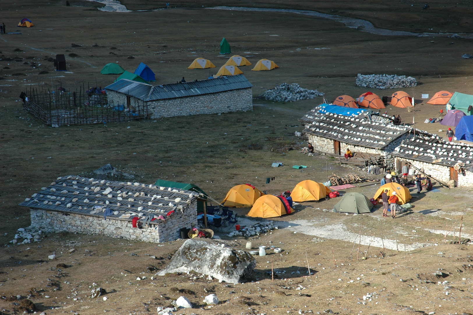
Bimtang :: so many tents…
Bimtang Glacier morraine :: industrial trekking tents and makeshift lodges
Bimtang Glacier :: just another green lake
Bimtang Glacier :: Manaslu, Phungge Himal
Bimtang :: sun sets behind the ridges, shadows reach the seasonal village
Bimtang :: in a lodge kitchen
Bimtang :: the last sun rays on Manaslu
Bimtang :: ready to leave the village – but where is the sun?
Bimtang Glacier :: the lake below Bimtang, Tilje Peak and Nemjung behind
Bimtang Glacier :: the view south towards Phungge Himal
Bimtang Glacier :: climbing the right morraine
Bimtang Glacier :: at the high side morraine :: the real woods begin here
Bimtang Glacier :: the Dudh Khola outflow with the (damaged) bridge
Bimtang Glacier :: at the high side morraine :: Manaslu, Phungge Himal
Bimtang Glacier :: at the high side morraine :: the Manaslu western slopes view
The upper Dudh Khola Valley :: entering the woods
The upper Dudh Khola Valley :: in the woods
The upper Dudh Khola Valley :: in the woods
The upper Dudh Khola Valley :: western slopes of the Manaslu Himal :: part one
The upper Dudh Khola Valley :: western slopes of the Manaslu Himal :: part two
The upper Dudh Khola Valley :: in the woods
The upper Dudh Khola Valley :: in the woods
The upper Dudh Khola Valley :: Phungge Himal zoomed
The upper Dudh Khola Valley :: promised – the last view of Manaslu
The upper Dudh Khola Valley :: down by the river :: eroded banks
The upper Dudh Khola Valley :: dense woods
The upper Dudh Khola Valley :: following the river
The upper Dudh Khola Valley :: following the river
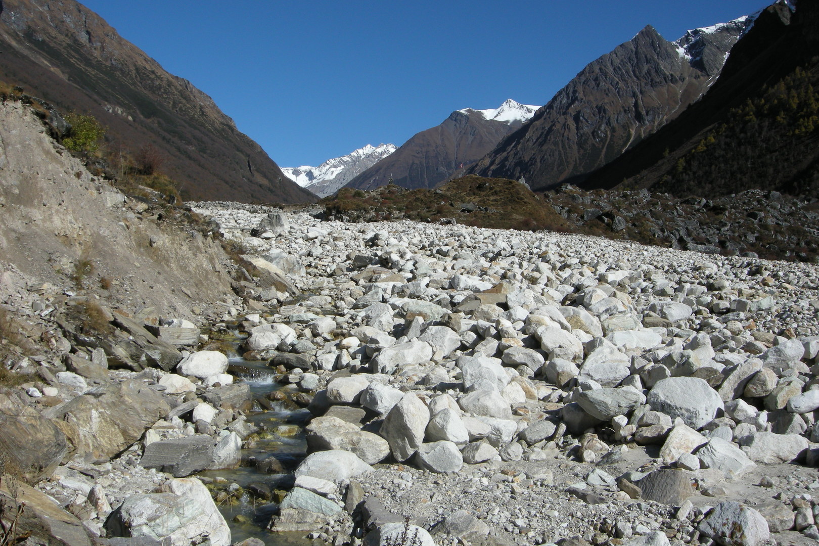
The upper Dudh Khola Valley :: the boulders in the river valley
The upper Dudh Khola Valley :: looking up to the white peaks
The upper Dudh Khola Valley :: along an eroded stretch
The upper Dudh Khola Valley :: leaving a nasty stretch behind
The upper Dudh Khola Valley :: looking up to a burned forest
Gho :: the new lodge luxuries
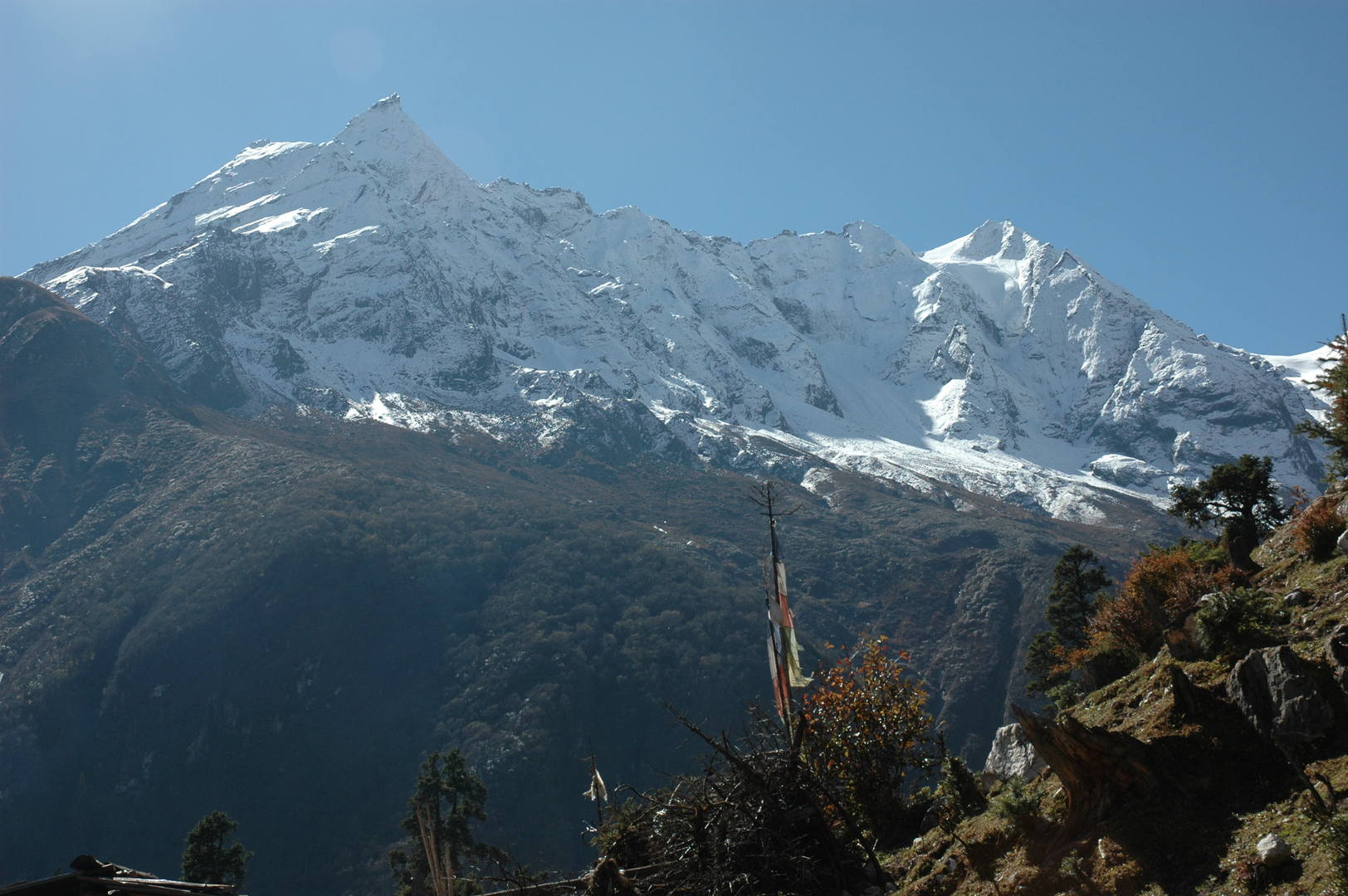
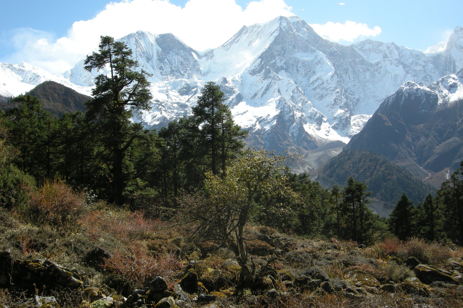
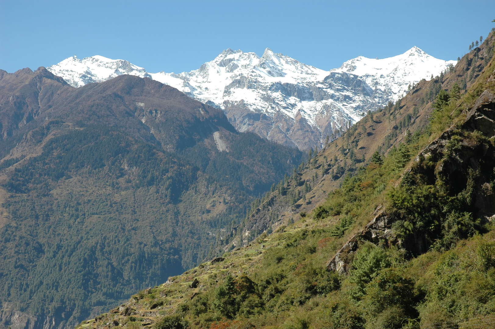
Gho :: Lamjung Himal in the Annapurnas in sight
Towards Tilje, Lamjung Himal in the Annapurnas above
Dudh Khola, the Milk River
Tilje :: the washing day
Tilje :: the washing day :: we too
Tilje :: the bridge decorated for a festival
Thonje and Dhorapani in sight :: joining the crowded Annapurna Circuit soon
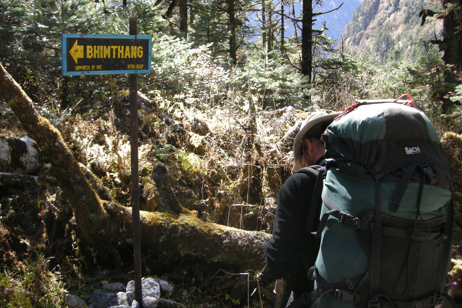
Dhorapani (Thonje part) :: The Manaslu Circuit ends :: go back?
Towards Kharte
South of Kharte :: industrial landscapes on the new road to Manang
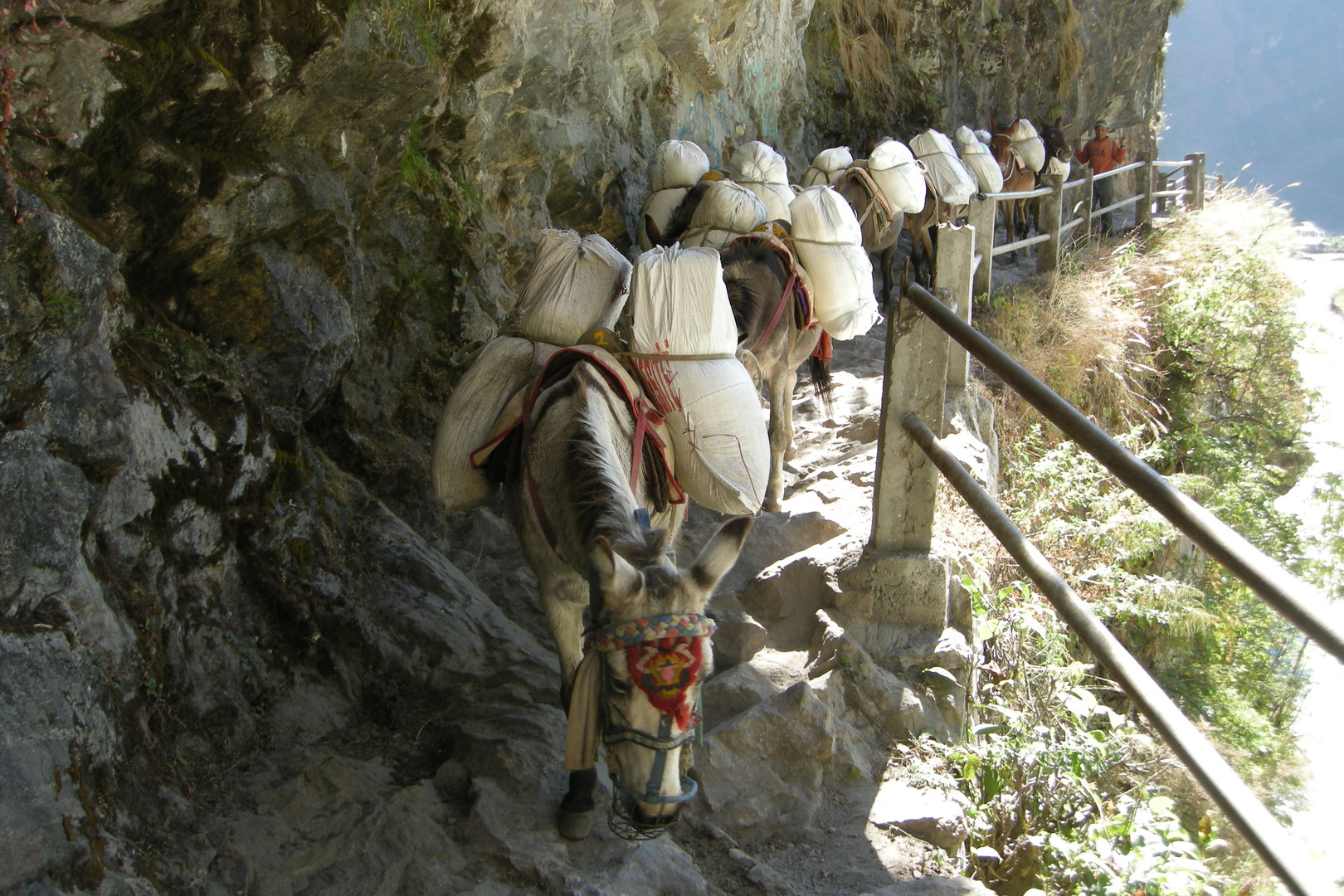
North of Tal :: a mule caravane to Manang
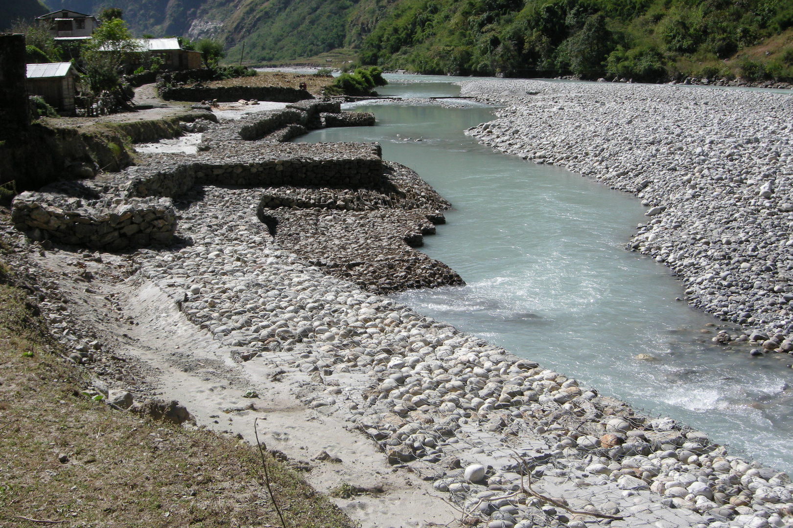
Tal :: securing the lodge investments against the Marsyangdi forces
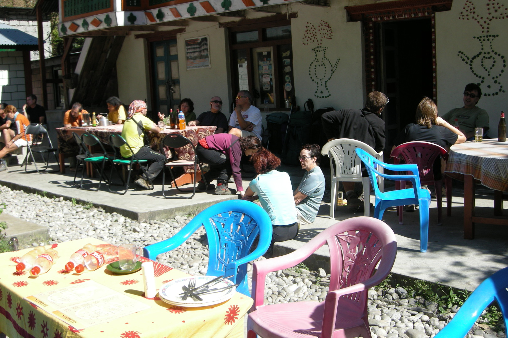
Tal :: the consumers of the trekking industry
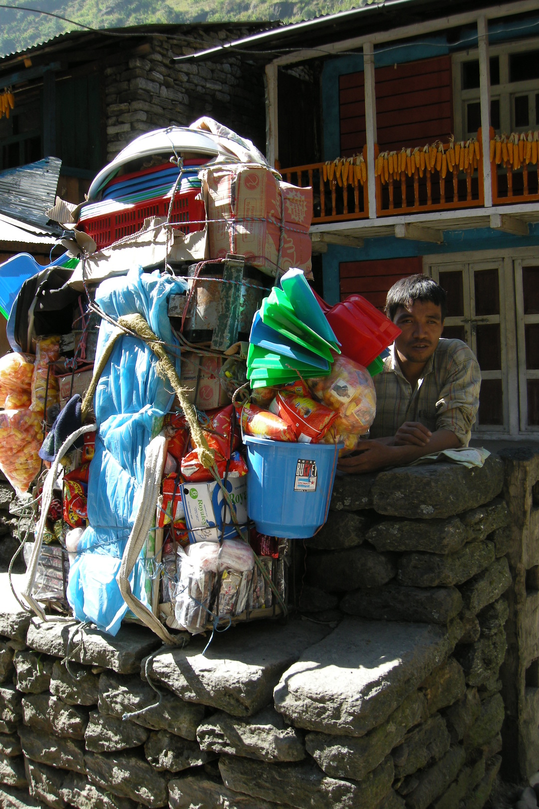
Tal :: one of the porters for consumer goods going up the Marsyagdi
Tal :: why are they closed? :: too strong the competition?
Tal :: the Annapaurna Circuit circus in the pure form
South Tal :: the Marsyangdi
South of Tal :: the Marsyangdi enters her falls
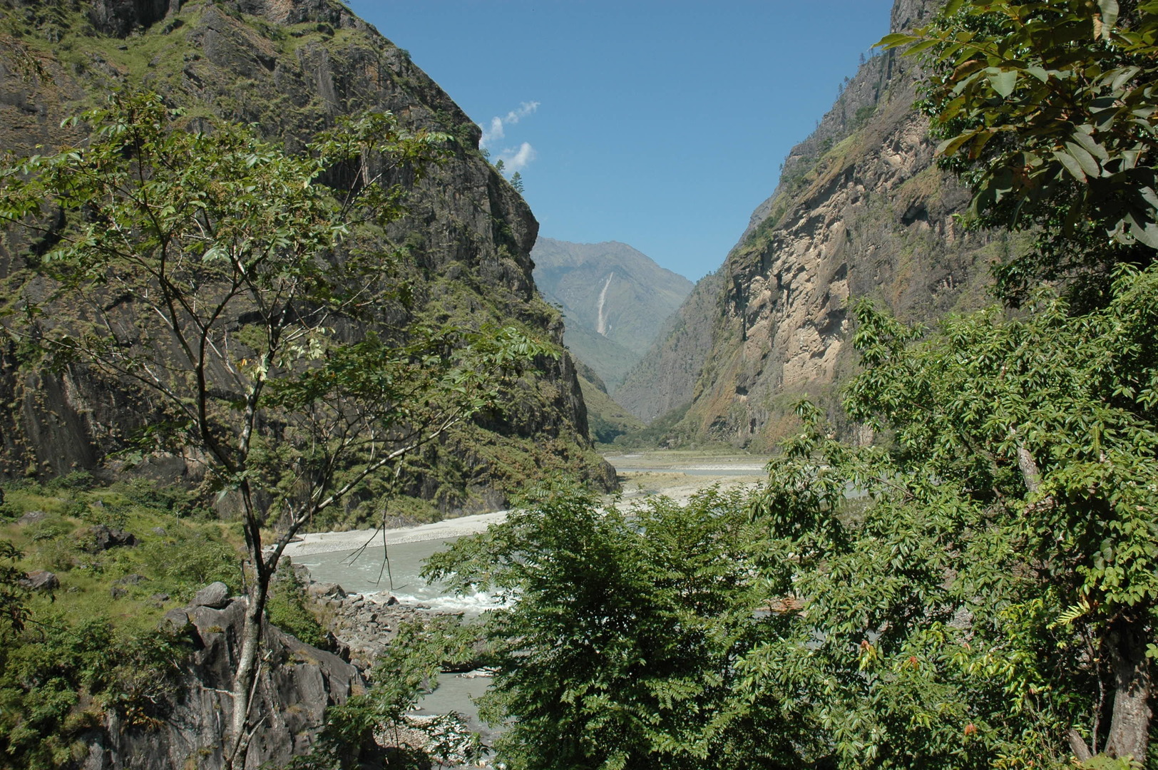
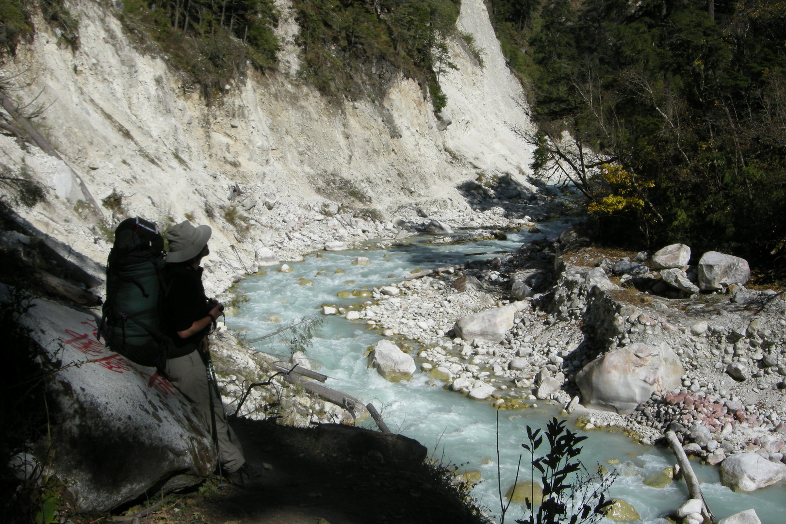
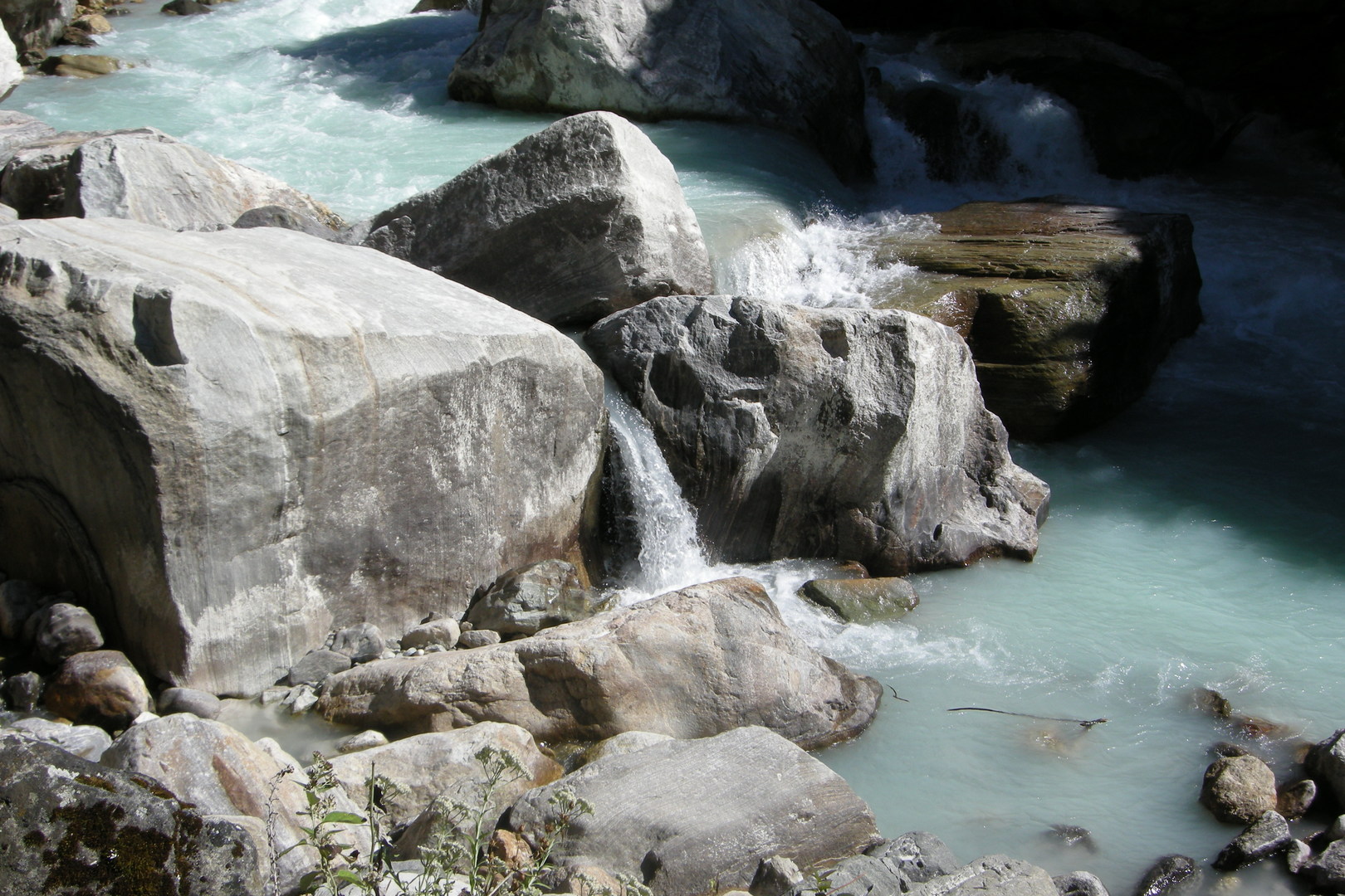
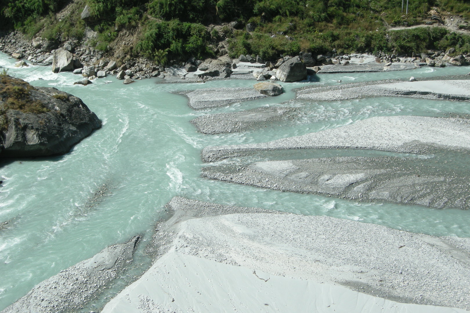
South of Tal Phedi :: the Marsyangdi falls, similar to the Buddhi Gandaki below the Yaru Khola confluence
Myardi Khola outflow to the Marsyangdi (opposite) :: the high trail
Myardi Khola outflow to the Marsyangdi :: the front of the new road works
Reached Chamje :: why not to stay here?
South of Chamje :: a well described waterfall opposite
From Jagat to Syange :: The famous Annapurna Circuit reduced… to a dirt road
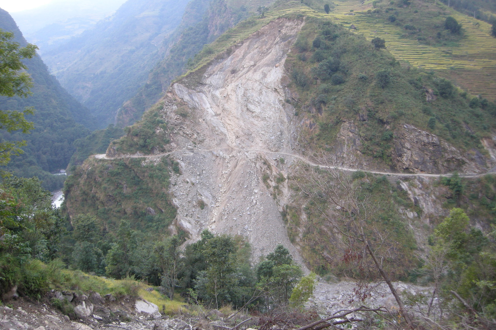
From Jagat to Syange :: trying to break through a man-made landslide with the new road
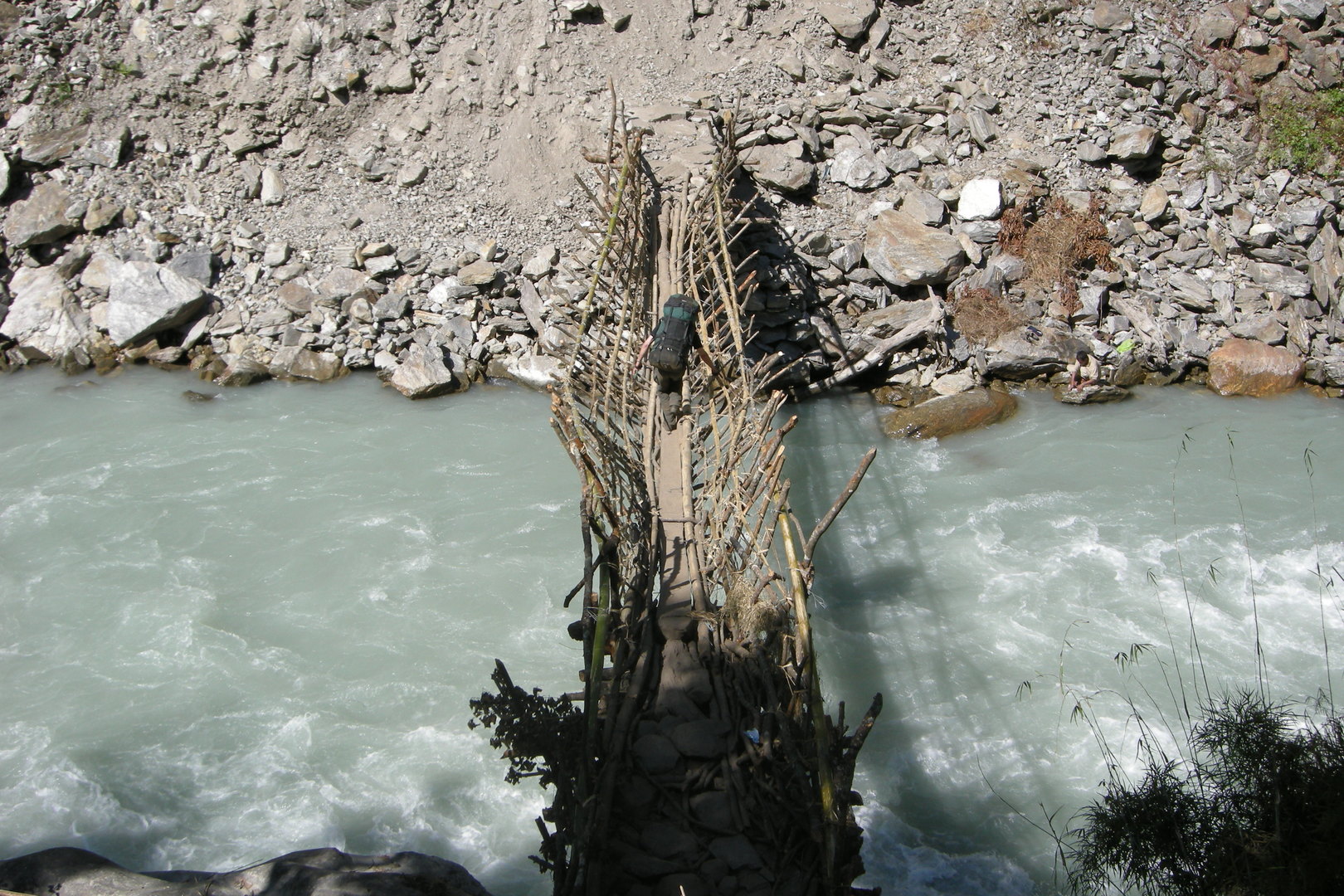
From Jagat to Syange :: a makeshift bamboo bridge over the Marsyangdi :: circumventing the landslide
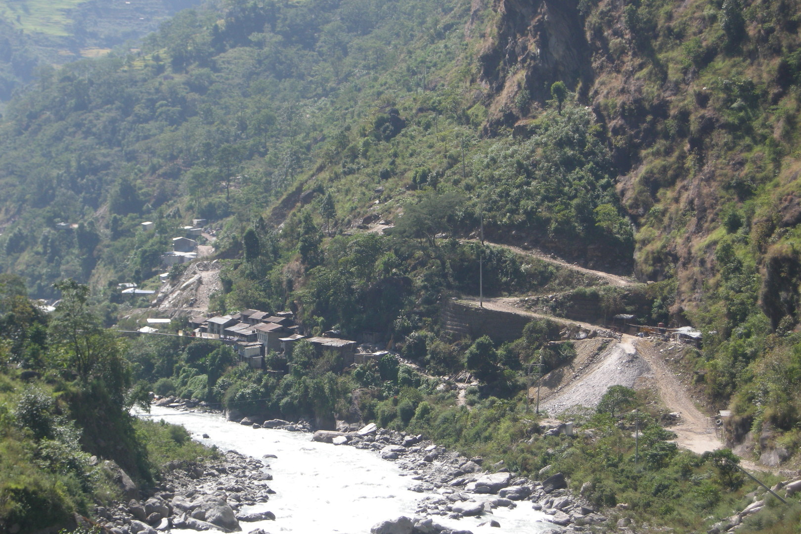
Syange :: the proud new roadhead, presently not reachable due to a landslide below
Syange :: in the range of the mobile phone antennas
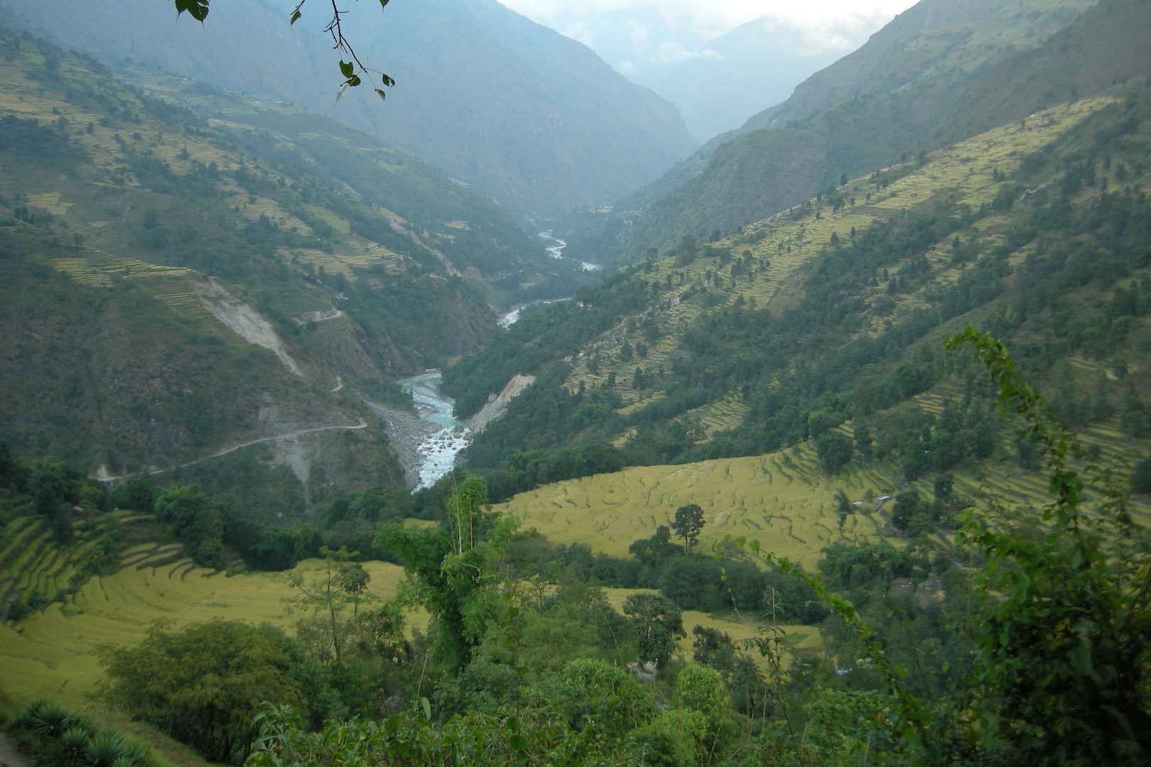
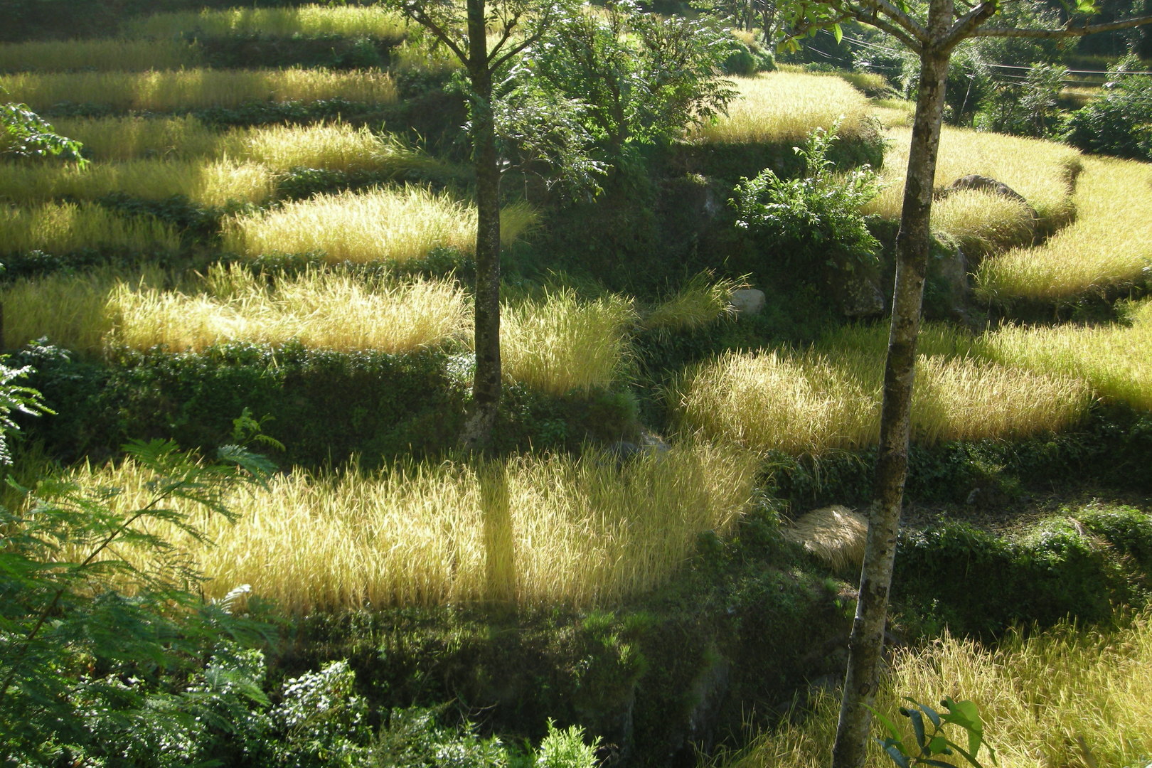
By Ghermu :: rice fields terraces
Ghermu :: The characteristic Bahundanda Hill in sight
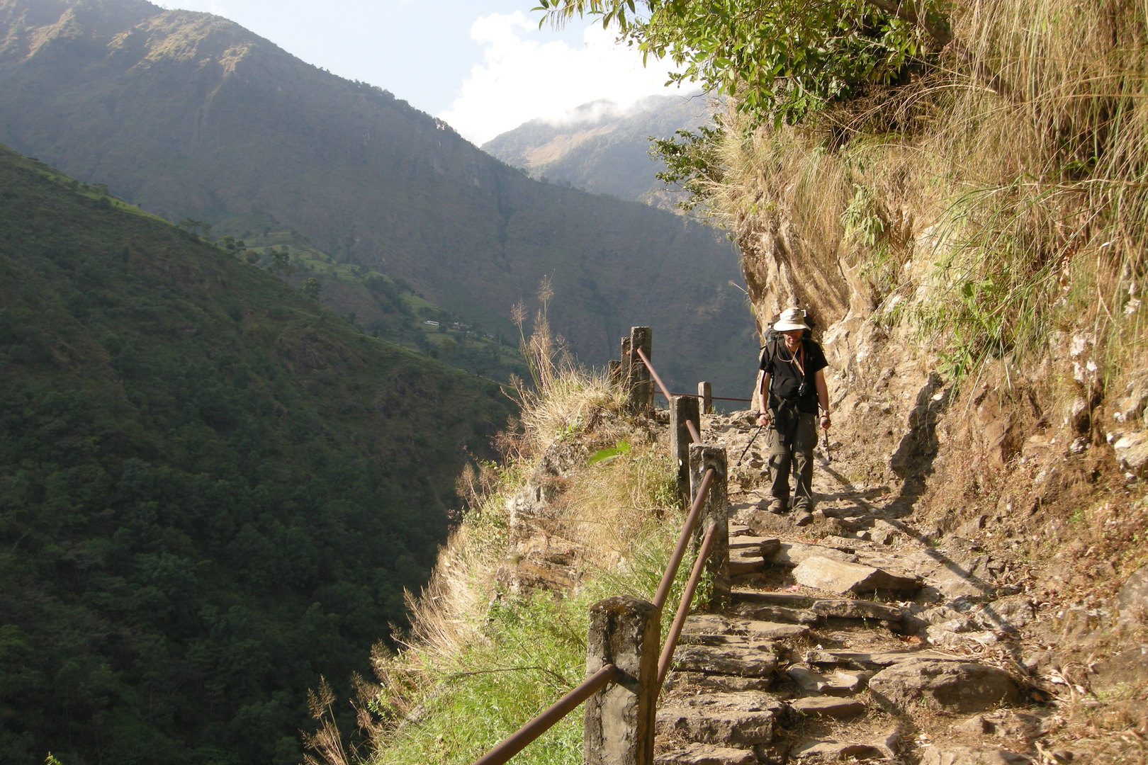
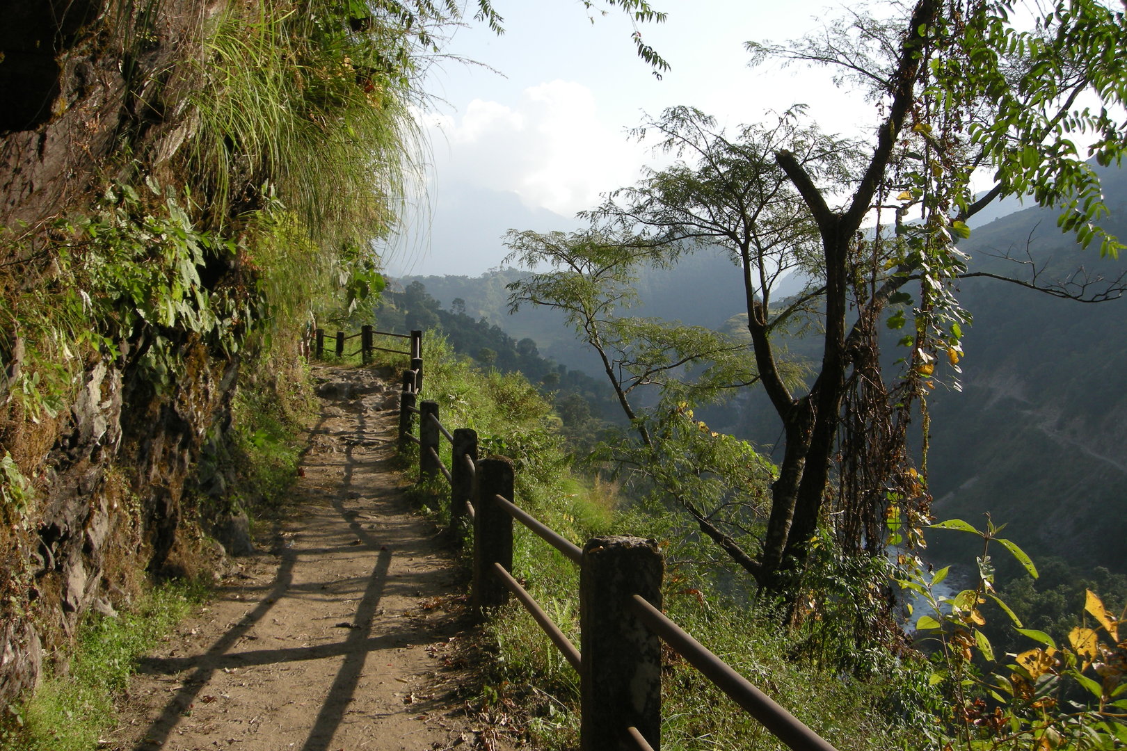
Southbound to Bahundanda :: a trail stretch with railings
Southbound to Bahundanda :: a trail stretch with railings
By Bahundanda :: just another landslide caused by the new road works opposite
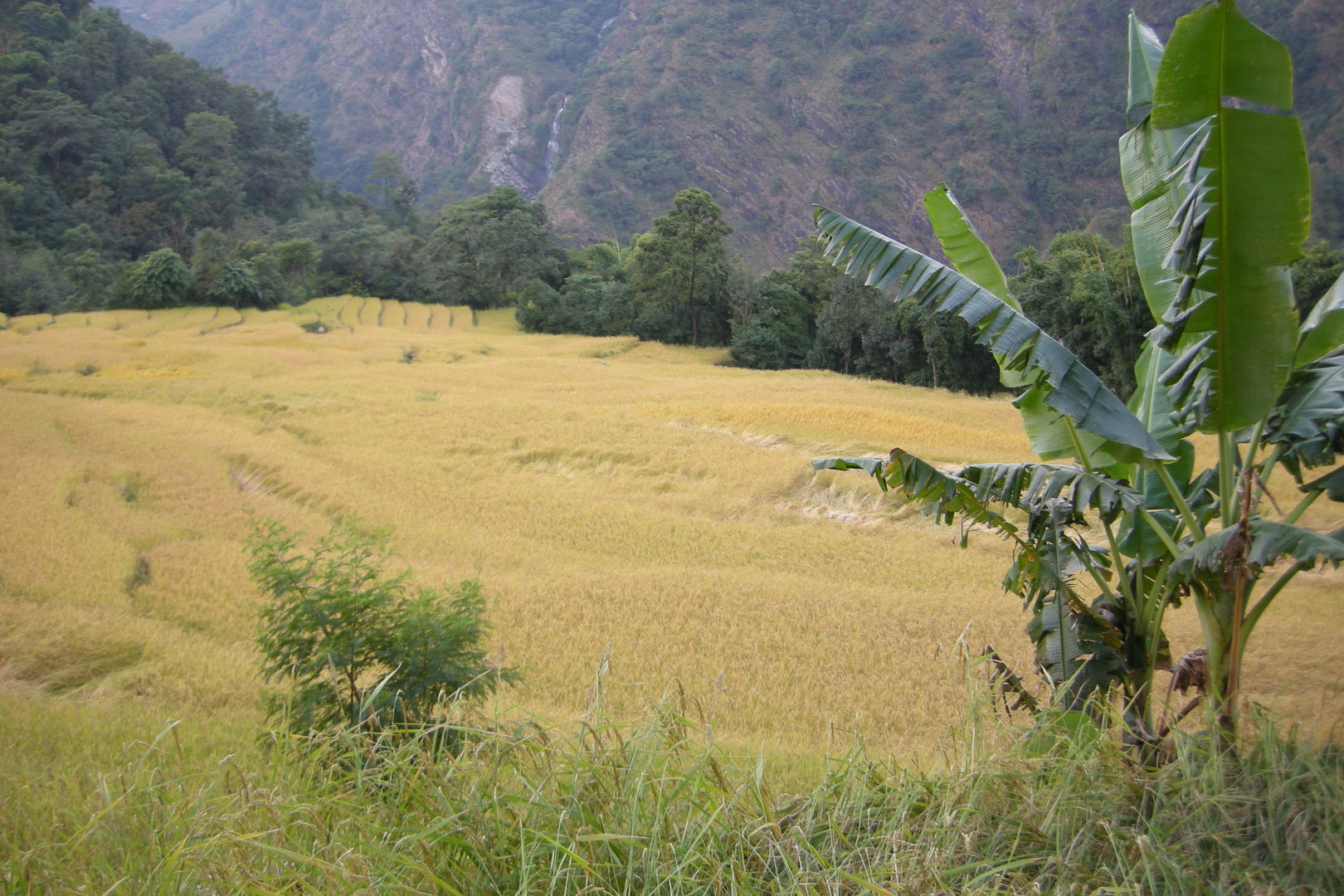
By Bahundanda :: ricefields
Climbing the Bahundanda Hill :: the view north
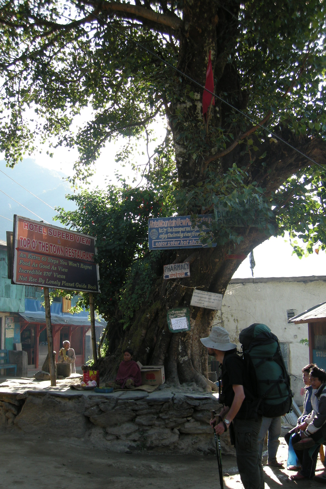
Bahundanda :: the old friend – the bodhi tree in the middle of the village
Bahundanda :: looking south from the hill towards Ngadi
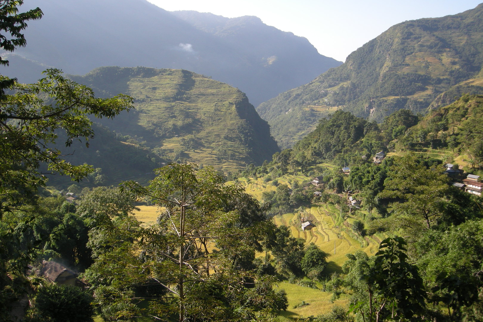
By Lampata :: rice fields
South of Ngadi :: the last Himalchuli view
Bhulbule :: the Marsyangdi bridge, the last one
The road to Besisahar :: Ganesh and Buddha :: please help us…
Bandipur :: looking back over the Marsyangdi Valley towards the far Manaslu Himal