
Enjoying the Christmas week on La Palma, re-visited after twenty years.
Staying just below the Caldera edge in the suburbs of Los Llanos de Aridane still dominated by banana plantages, we made quite a few excursions by car and by foot all over the island. Re-visiting the it after almost two decades of absence we had to state that it has now much, much better roads, quite a lot of surprisingly luxurious fincas hidden here or there, a thriving and slightly alternative expat scene and fancy restaurants. The traffic lights in Los Llanos came by surprise, but they seem to be necessary now — the traffic is now much higher that 20 years ago, but still nothing to make you nervous. Anyway, La Palma remains my favourite of all the Canaries, still the best one for unstrained hiking, any time of year…
The picture galleries below (the same content, different resolution) illustrate a few trips of a very varios character and from very different parts of the island.
- Gallery (162 images)
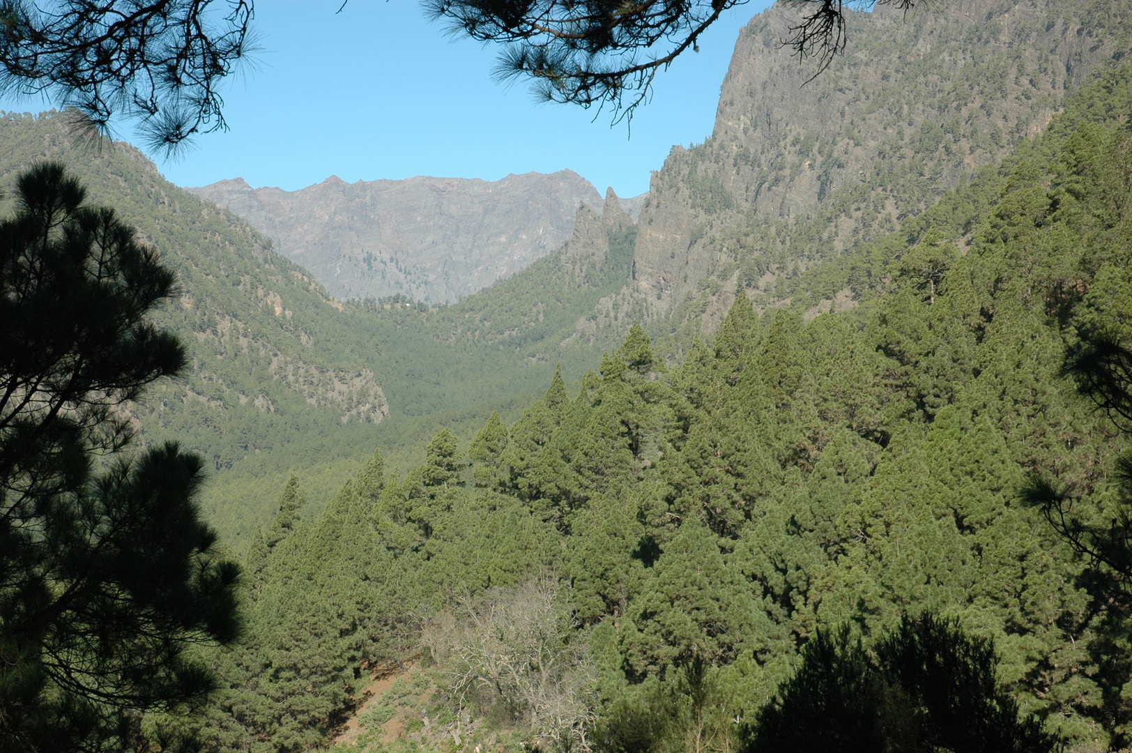 Cumbre Nueva :: above Eremita :: Cumbrecita pass above the Riachuelo valley, Caldera ridge behind
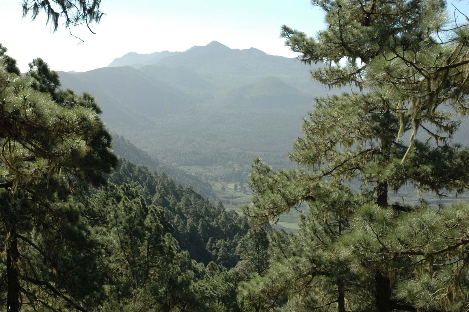 Cumbre Nueva :: above Eremita :: Cumbre Vieja volcanoes in sight
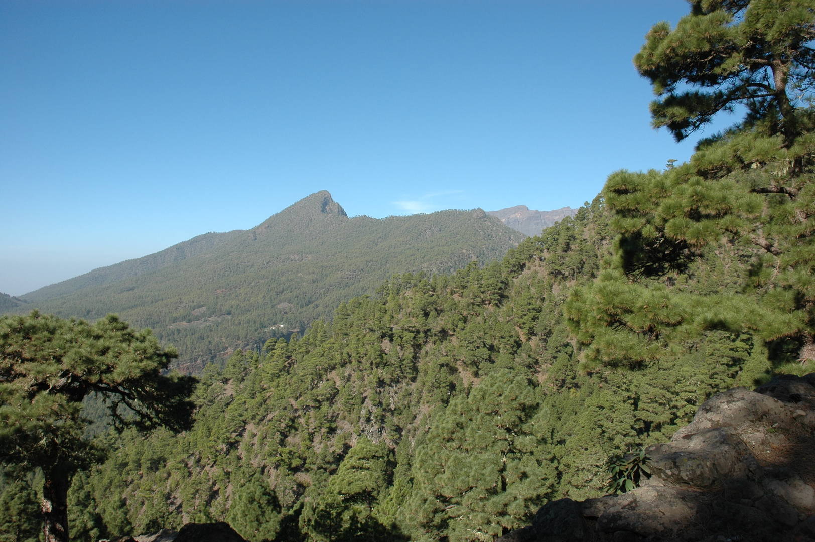 Cumbre Nueva :: below the Reventón pass :: Pico Bejenado
 Cumbre Nueva :: below the Reventón pass :: the Aridane valley and the ocean
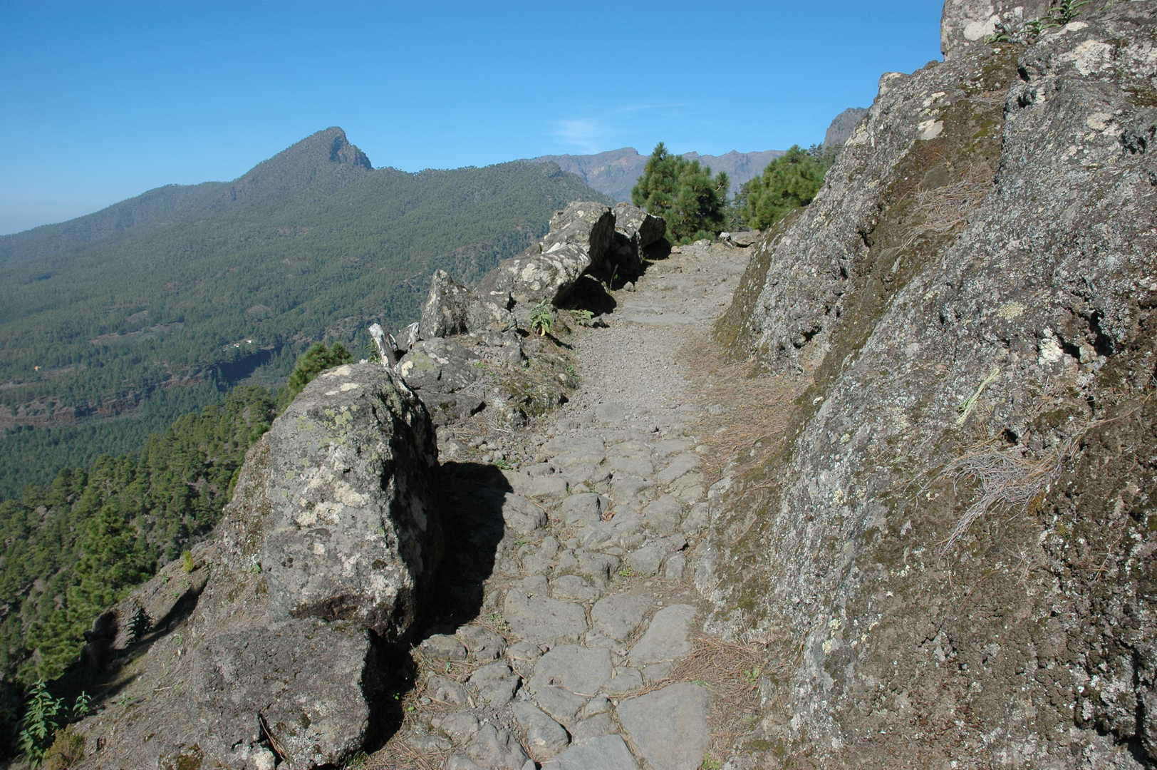 Cumbre Nueva :: the old royal trail (camino real) to the Reventón pass
 Cumbre Nueva :: on the Reventón pass
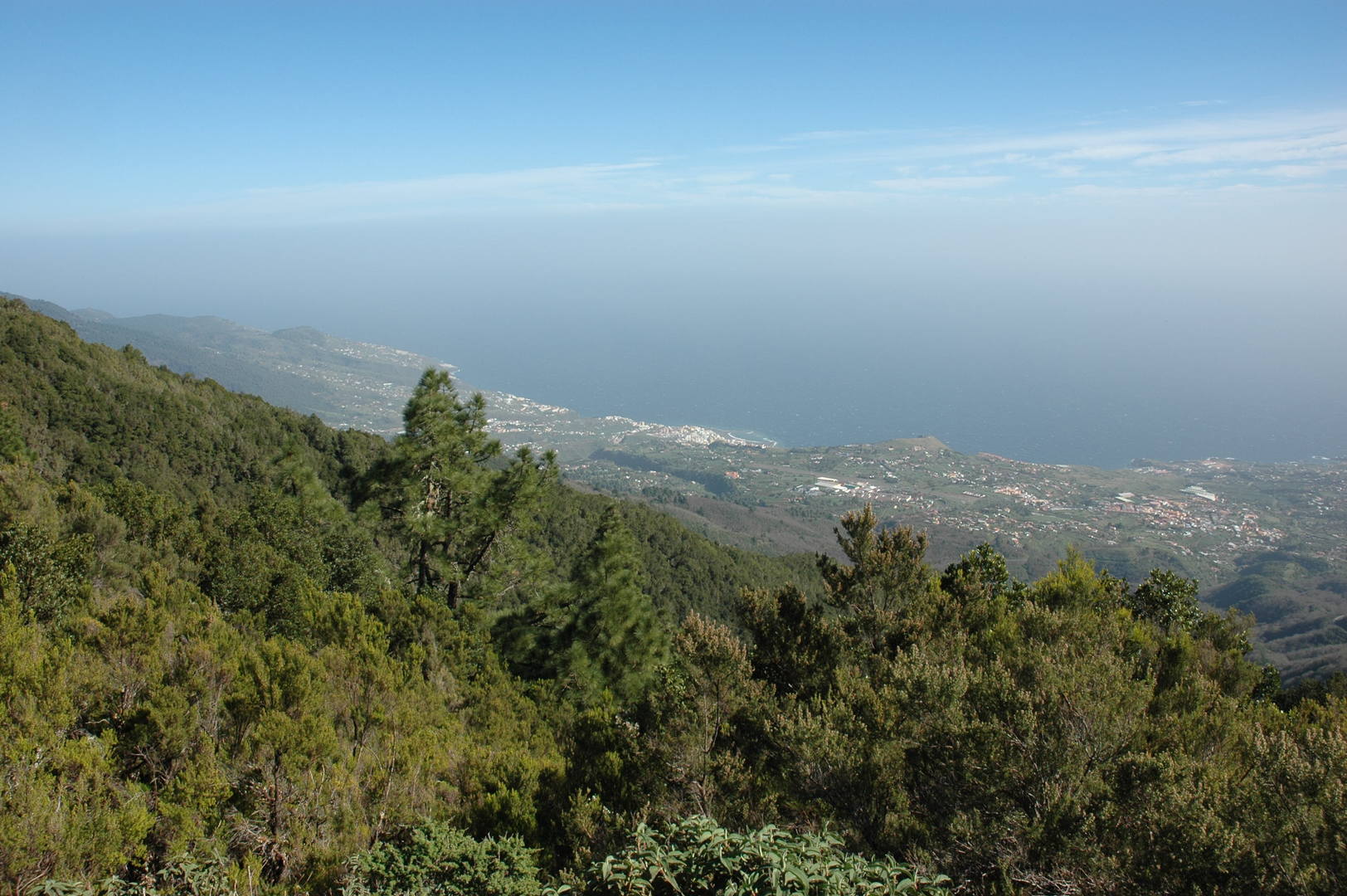 Cumbre Nueva :: Reventón pass :: the view towards the east coast with Santa Cruz de La Palma
 Cumbre Nueva :: Llano del Jable :: Montaña Quemada volcano
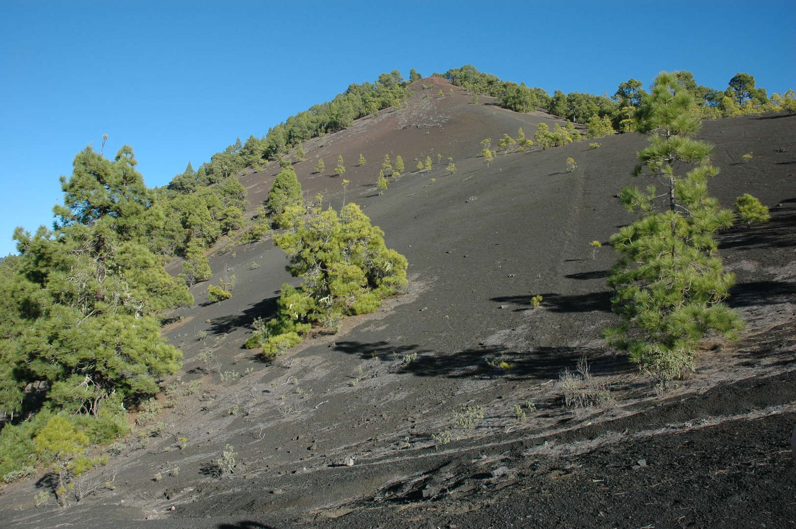 Cumbre Nueva :: Llano del Jable :: Montaña Quemada
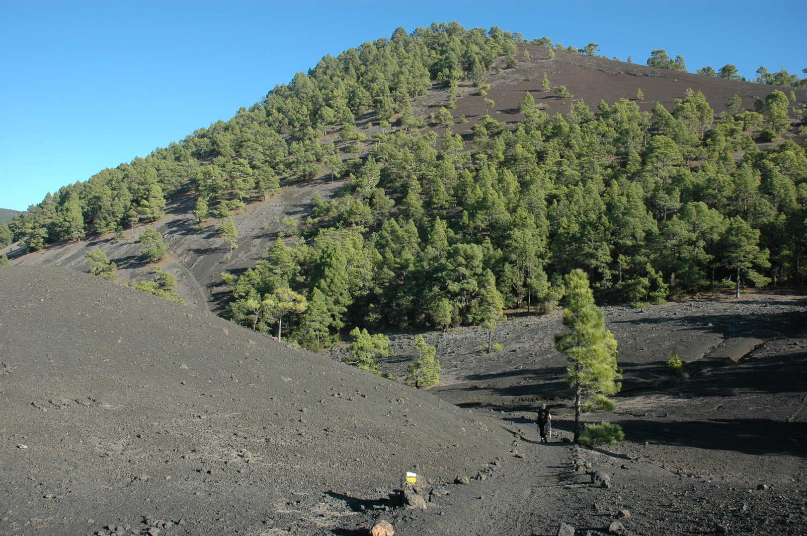 Cumbre Nueva :: Llano del Jable :: Montaña Quemada
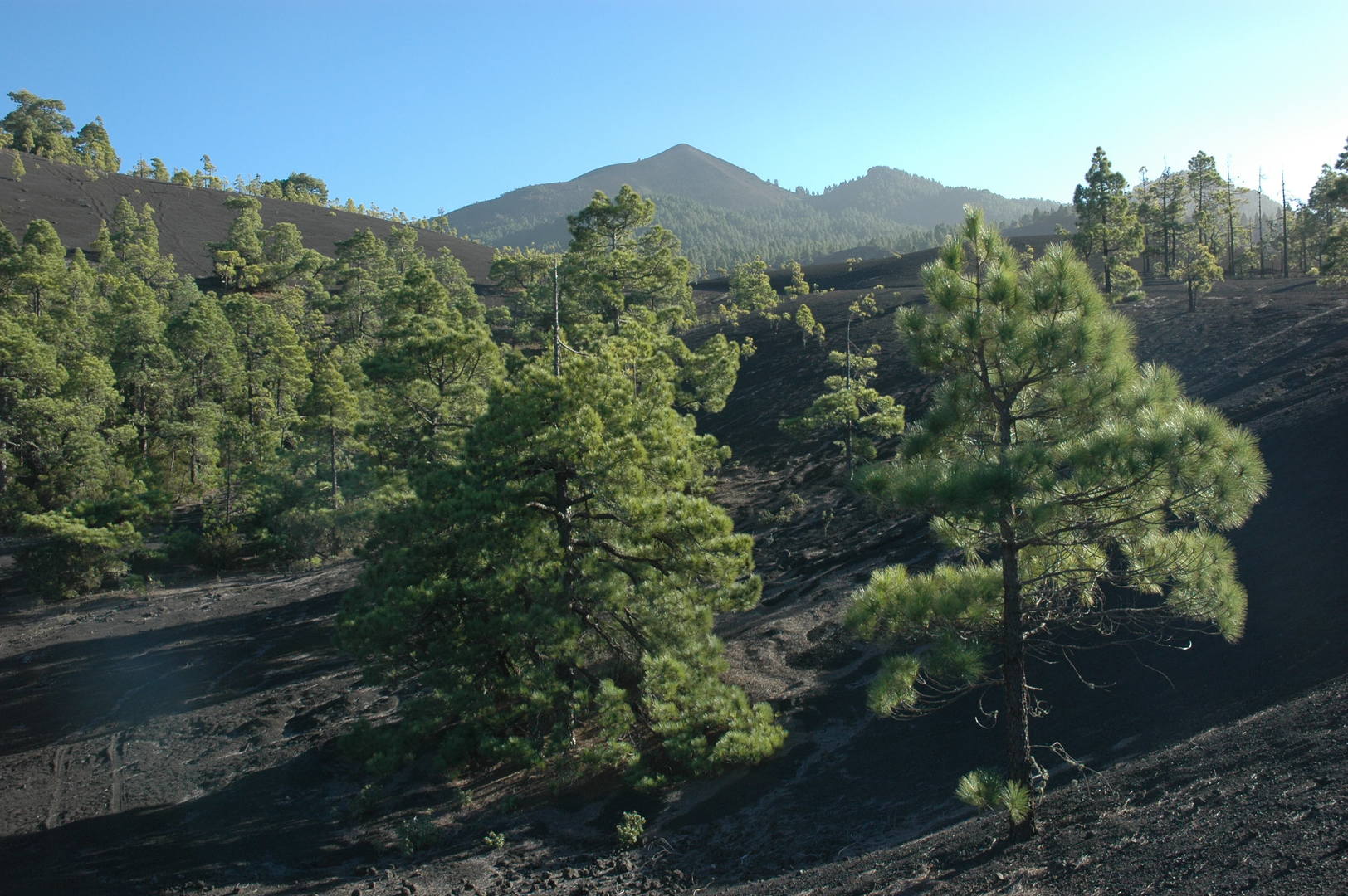 Cumbre Nueva :: Llano del Jable :: Looking up to Pico Bregoyo in Cumbre Vieja
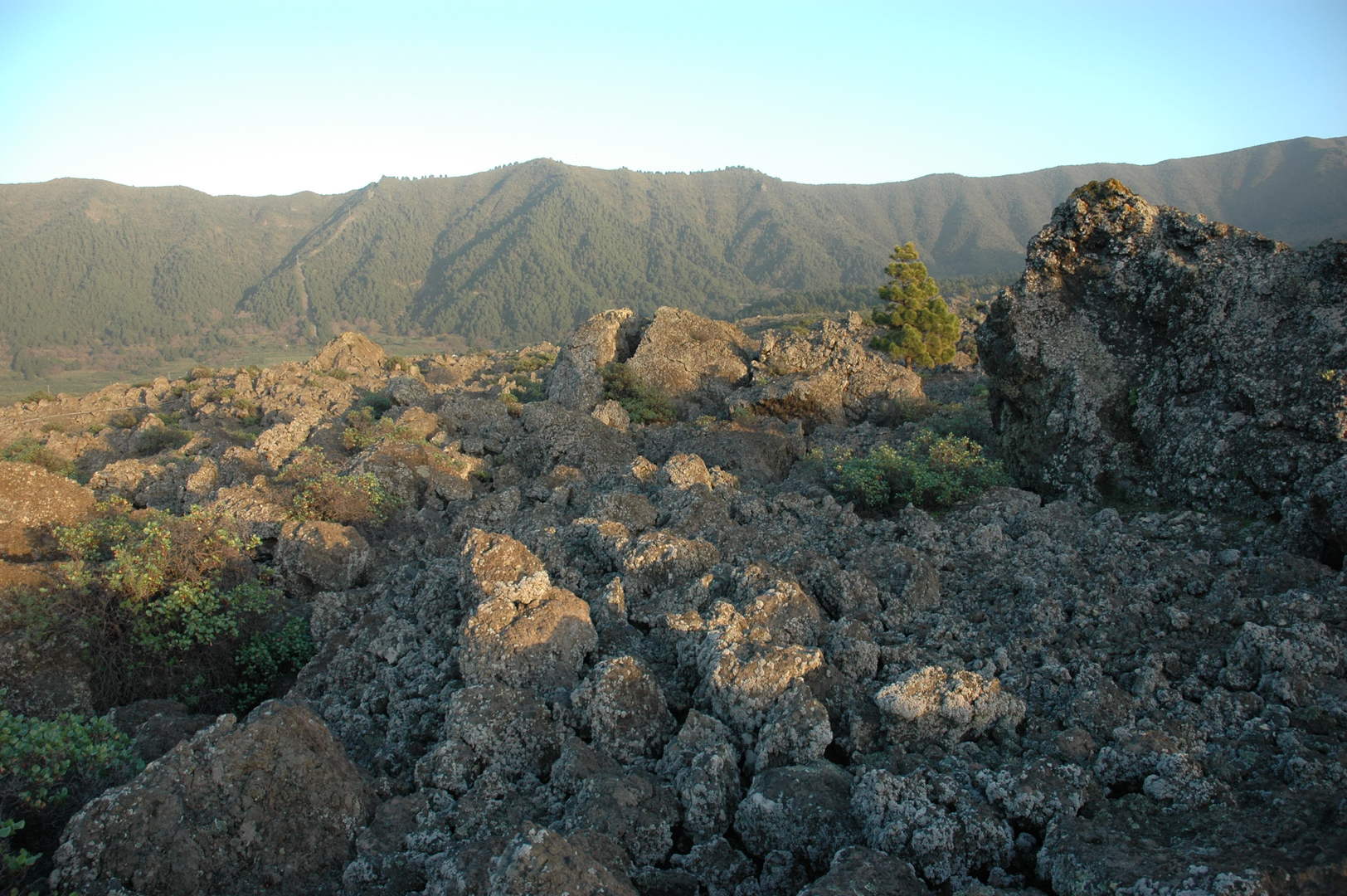 Cumbre Nueva :: looking back towards the Cumbre from lowest lava fields down by El Paso
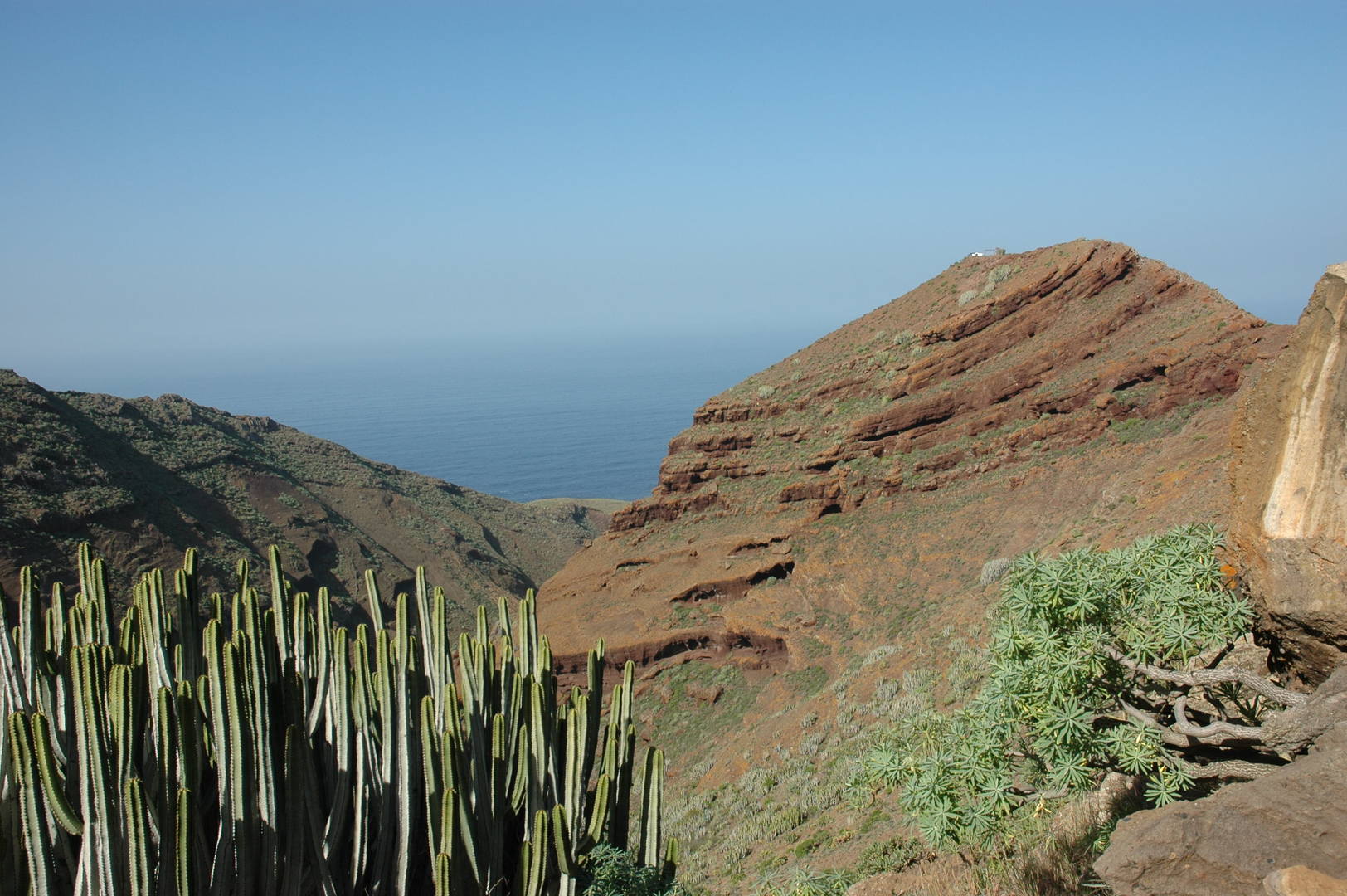 By El Mudo :: Barranco de Domingo Diaz, Cerro the Cerradero
 By El Mudo :: the top of Cerro del Cerradero :: looking down to Punta de Rabisca
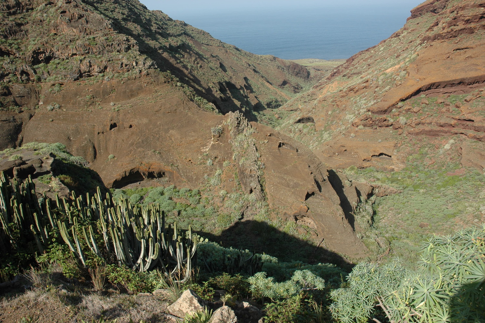 By El Mudo :: Barranco de Domingo Diaz below
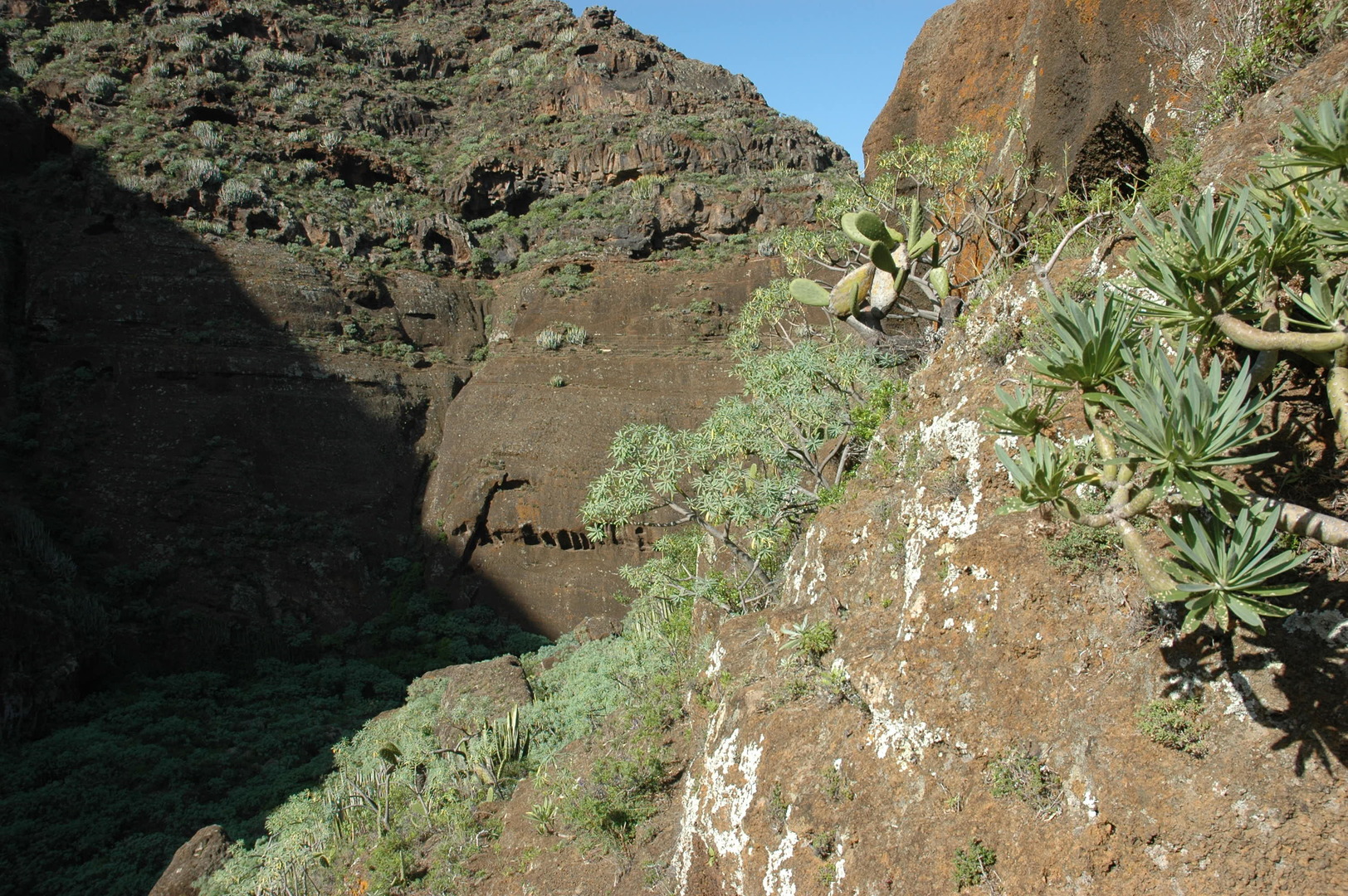 By El Mudo :: high sun-shadow contrasts in the Barranco de Domingo Diaz
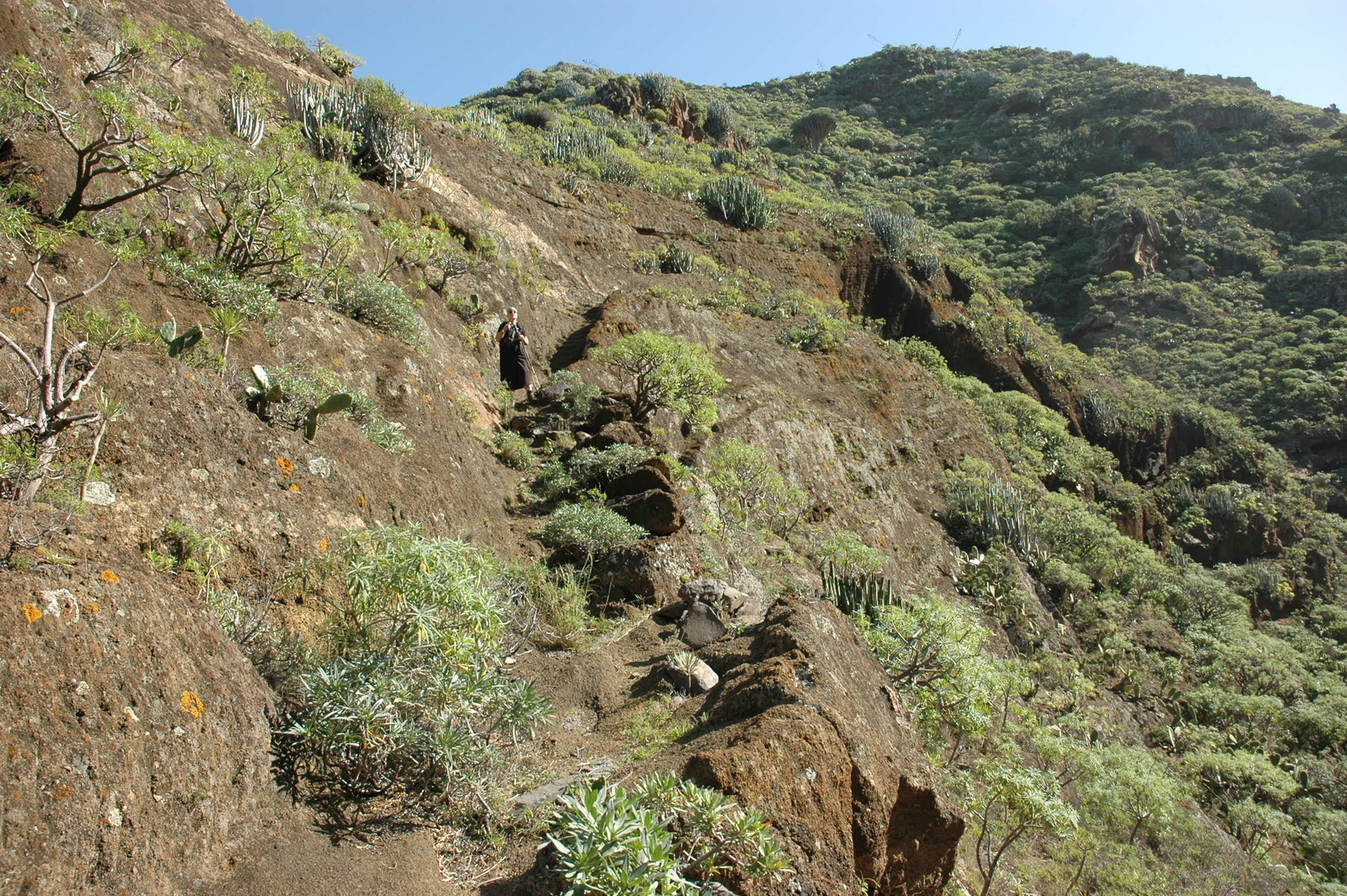 By El Mudo :: descending along a rock ledge to the Barranco de Domingo Diaz
 By El Mudo :: the overgrown bottom of Barranco de Domingo Diaz
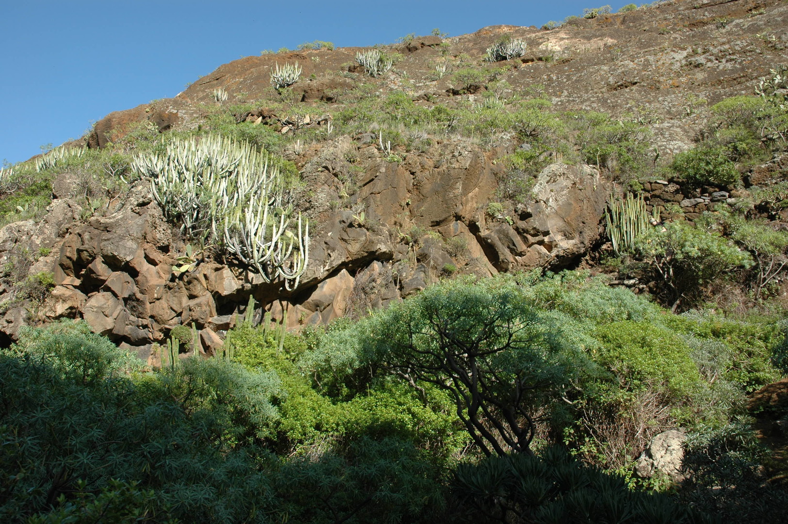 By El Mudo :: slopes of the Barranco de Domingo Diaz
 By El Mudo :: Barranco de Domingo Diaz :: climbing the shadowy other slope
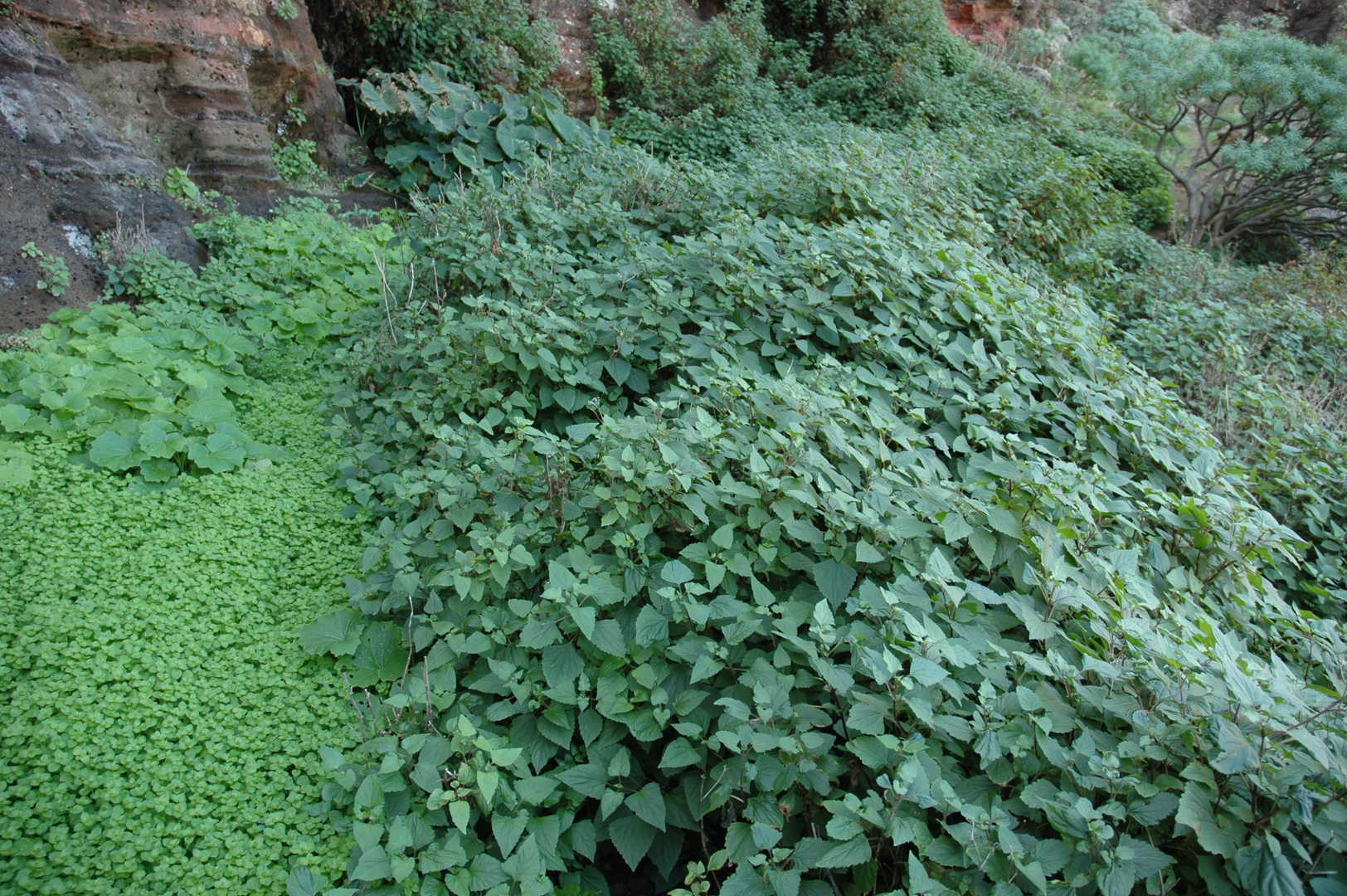 By El Mudo :: Barranco de Domingo Diaz :: an overgrown trail
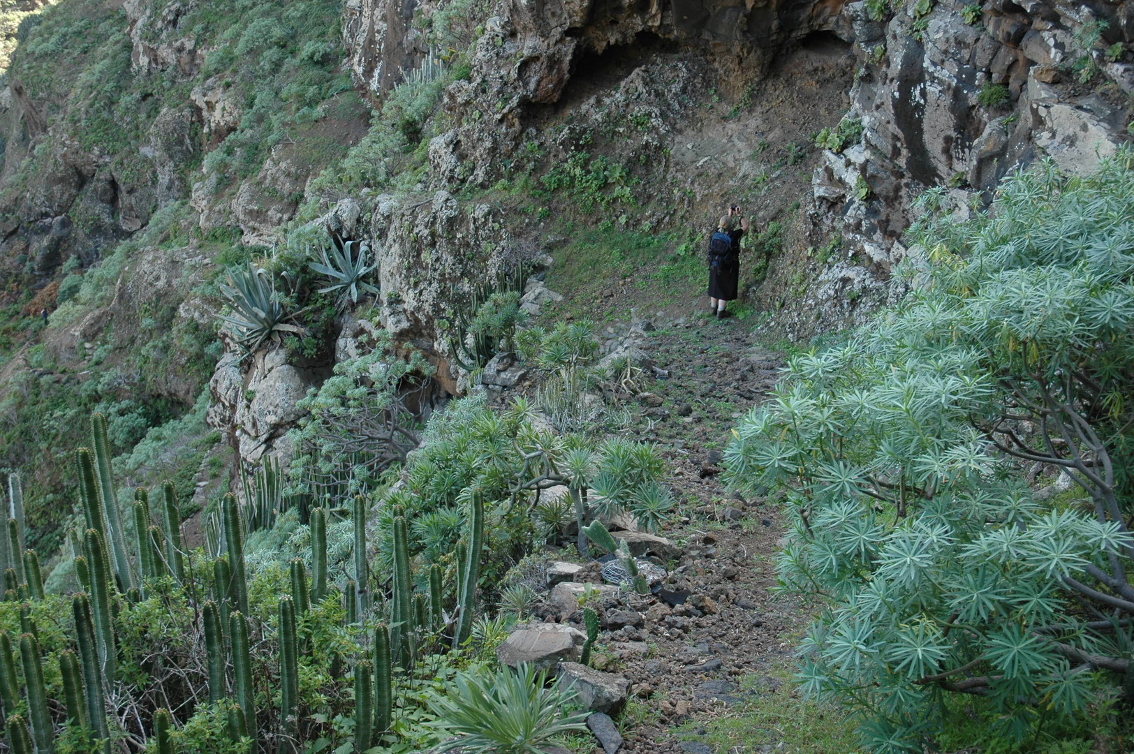 By El Mudo :: Barranco de Domingo Diaz :: traversing out of the canyon
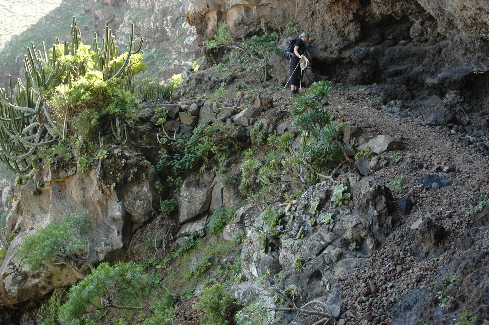 By El Mudo :: Barranco de Domingo Diaz :: traversing out of the canyon
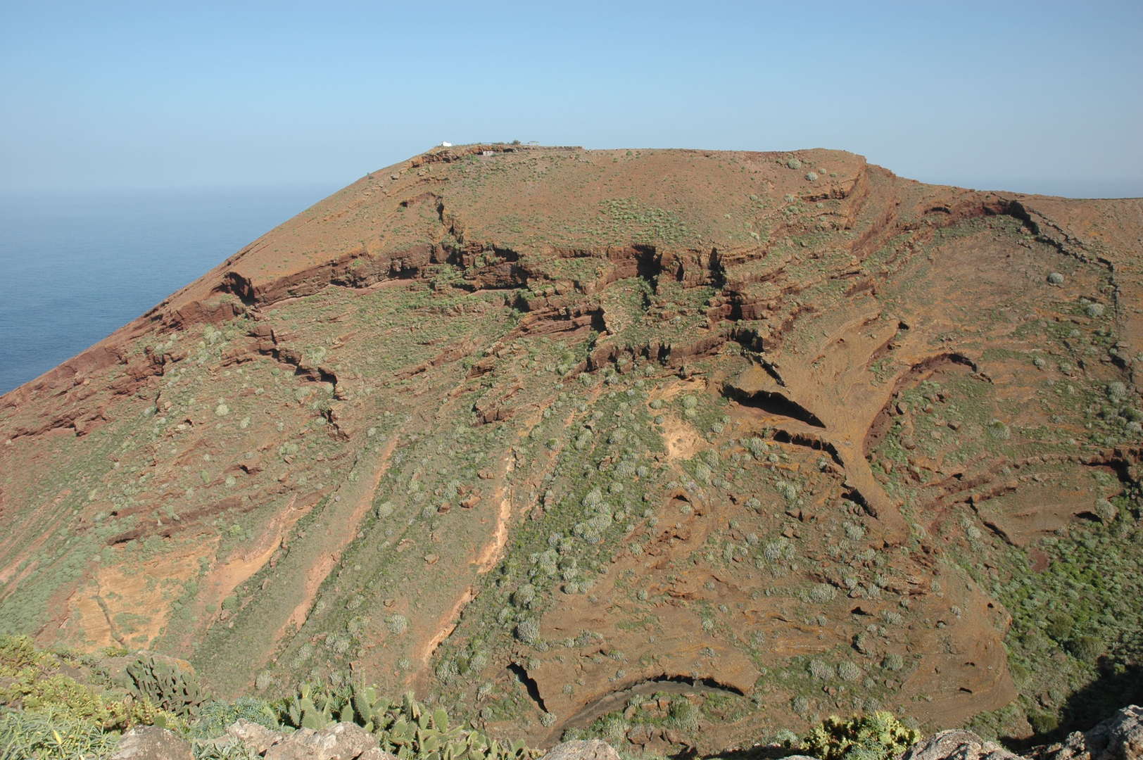 By El Mudo :: Cerro the Cerradero from another side of the Barranco de Domingo Diaz
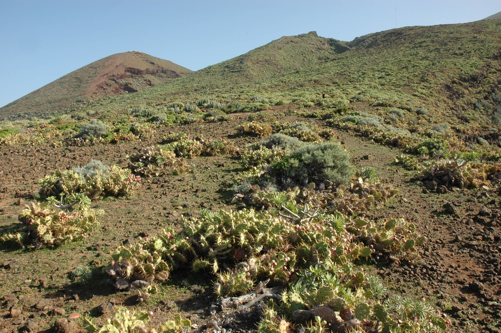 By El Mudo :: slopes of the coast above the Punta del Mudo
 By El Mudo :: Playa de El Mudo by flood
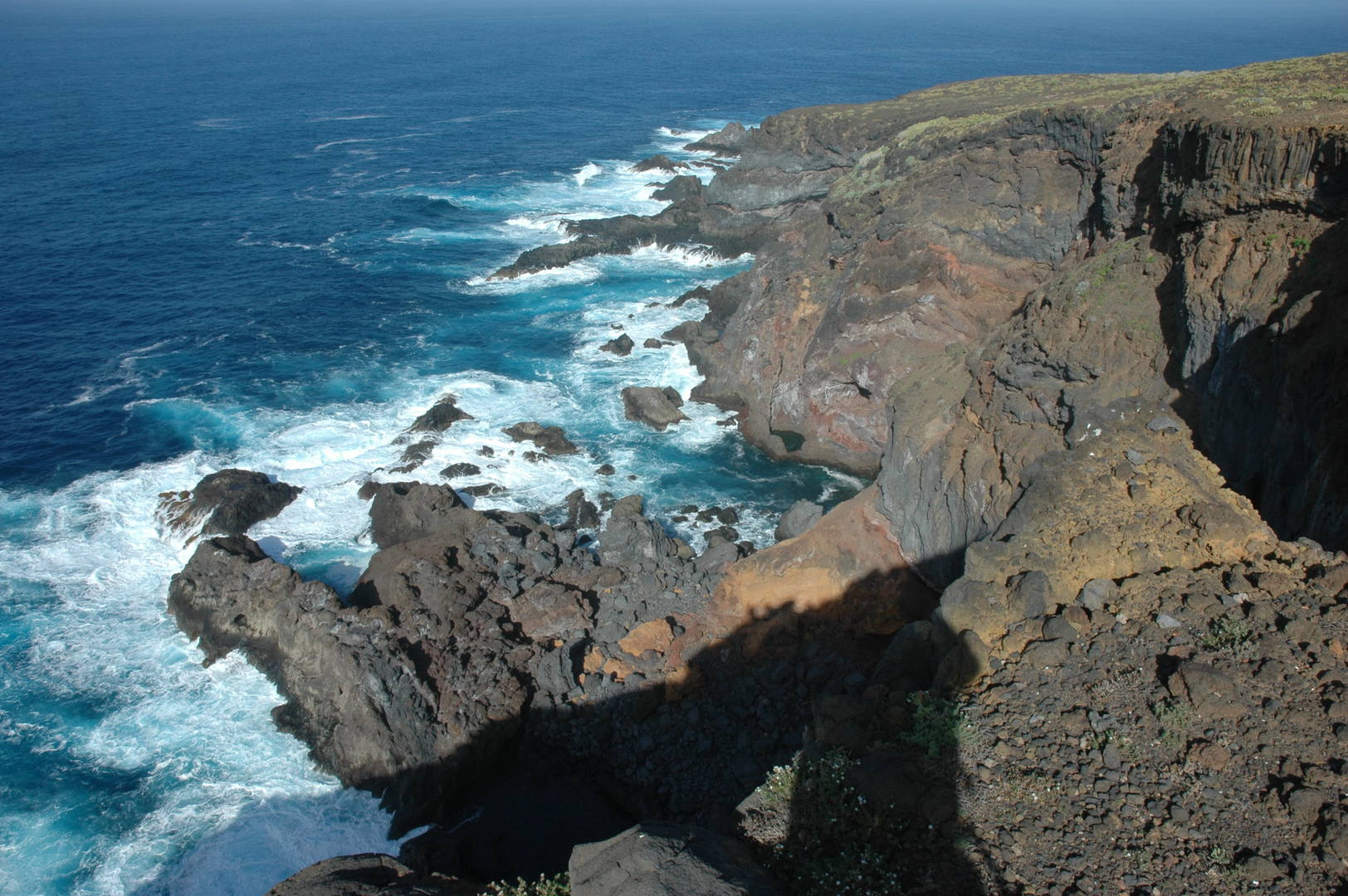 By El Mudo :: The ocean by Punta del Mudo
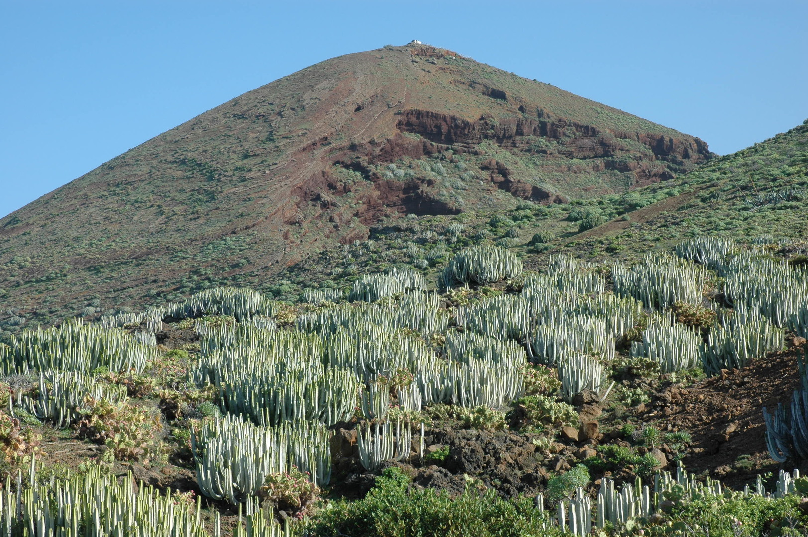 By El Mudo :: turning towards the Cerro the Cerradero again
 El Time :: Aridane valley surounded by the Caldera, Cumbres Nueva and Vieja, Los Llanos below
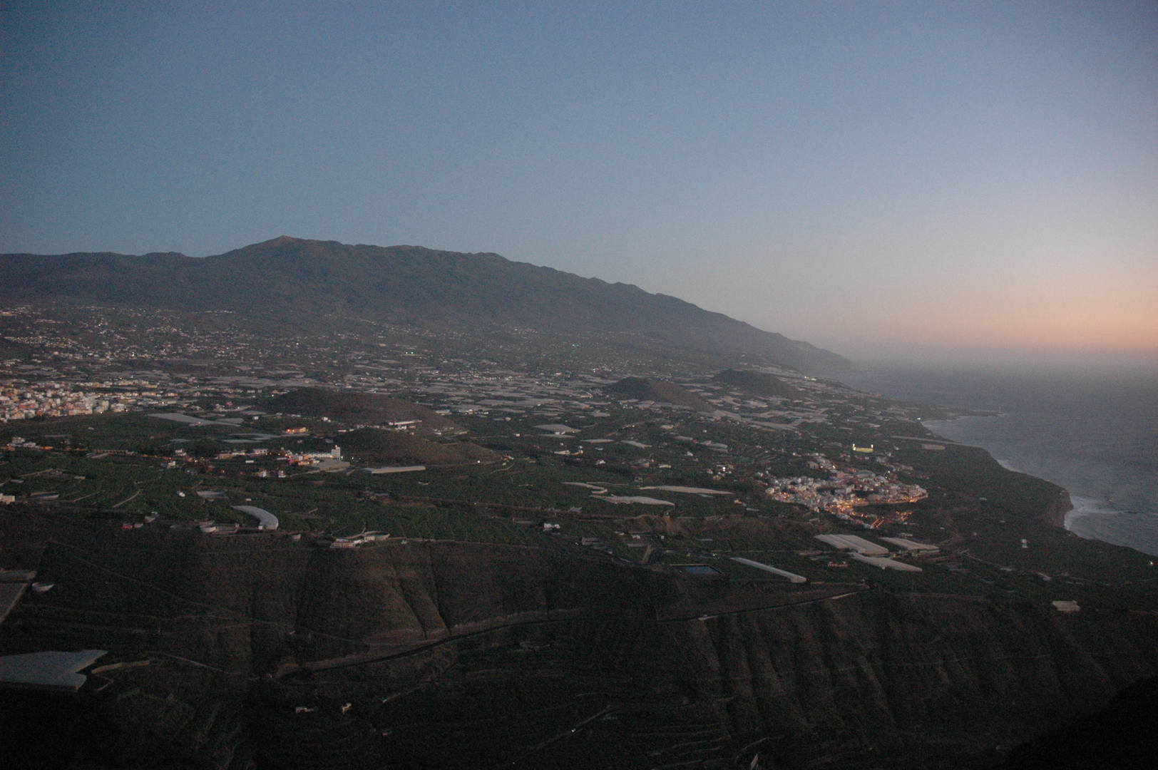 El Time :: Cubre Vieja and banana plantages coast
 El Time :: Tazacorte and the El Hierro island on the horizon
 El Time :: Los Llanos zoomed above the Barranco de las Angustias outlet, El Paso behind
 Cumbre Vieja :: Pico Brigoyo approach :: the far islands of Tenerife and Gomera above the ocean mist
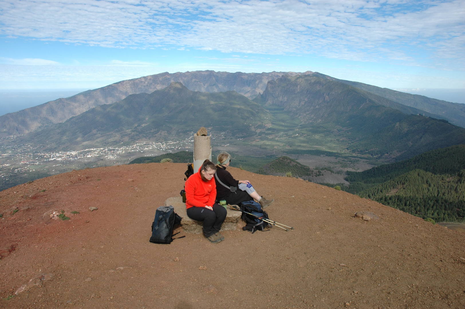 Cumbre Vieja :: Pico Brigoyo top marker
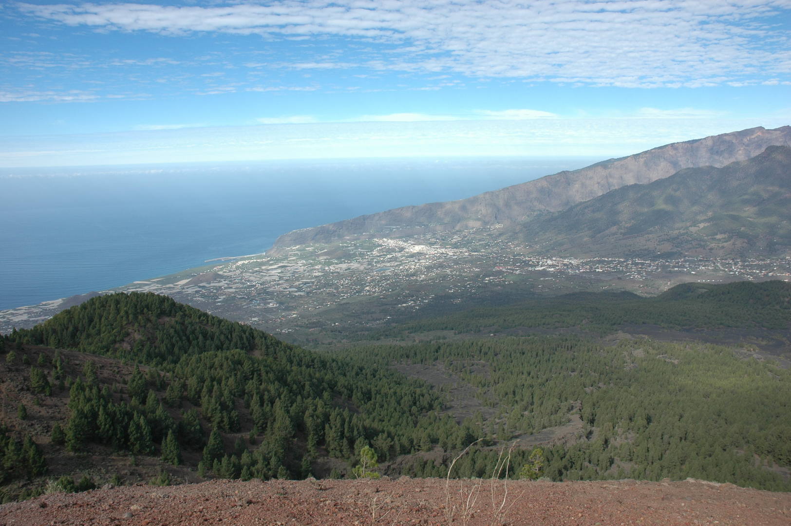 Cumbre Vieja :: Pico Brigoyo view :: west coast, the Aridane valley, Barranco de las Angustias outlet
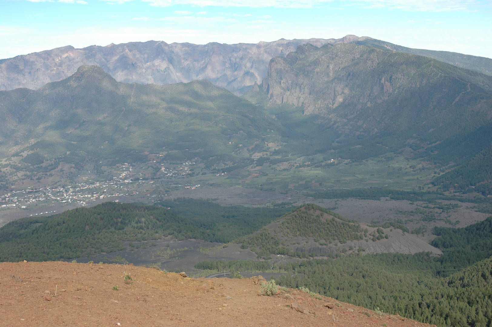 Cumbre Vieja :: Pico Brigoyo view :: Pico Bejenado and the Caldera de Taburiente behind
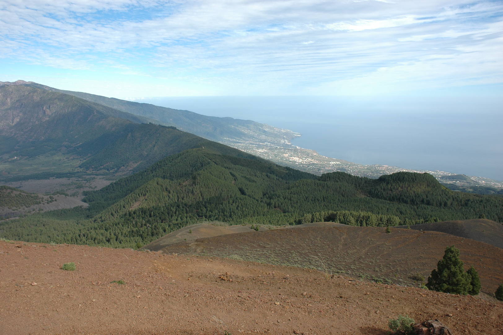 Cumbre Vieja :: Pico Brigoyo view :: Pico de las Nieves, Cumbre Nueva, Santa Cruz de La Palma on the east coast
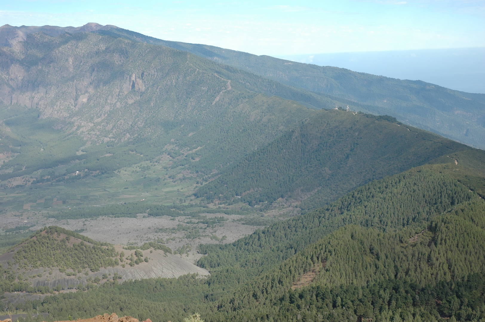 Cumbre Vieja :: Pico Brigoyo :: Pico de las Nieves, Cumbre Nueva and the white dot of Virgen del Pino
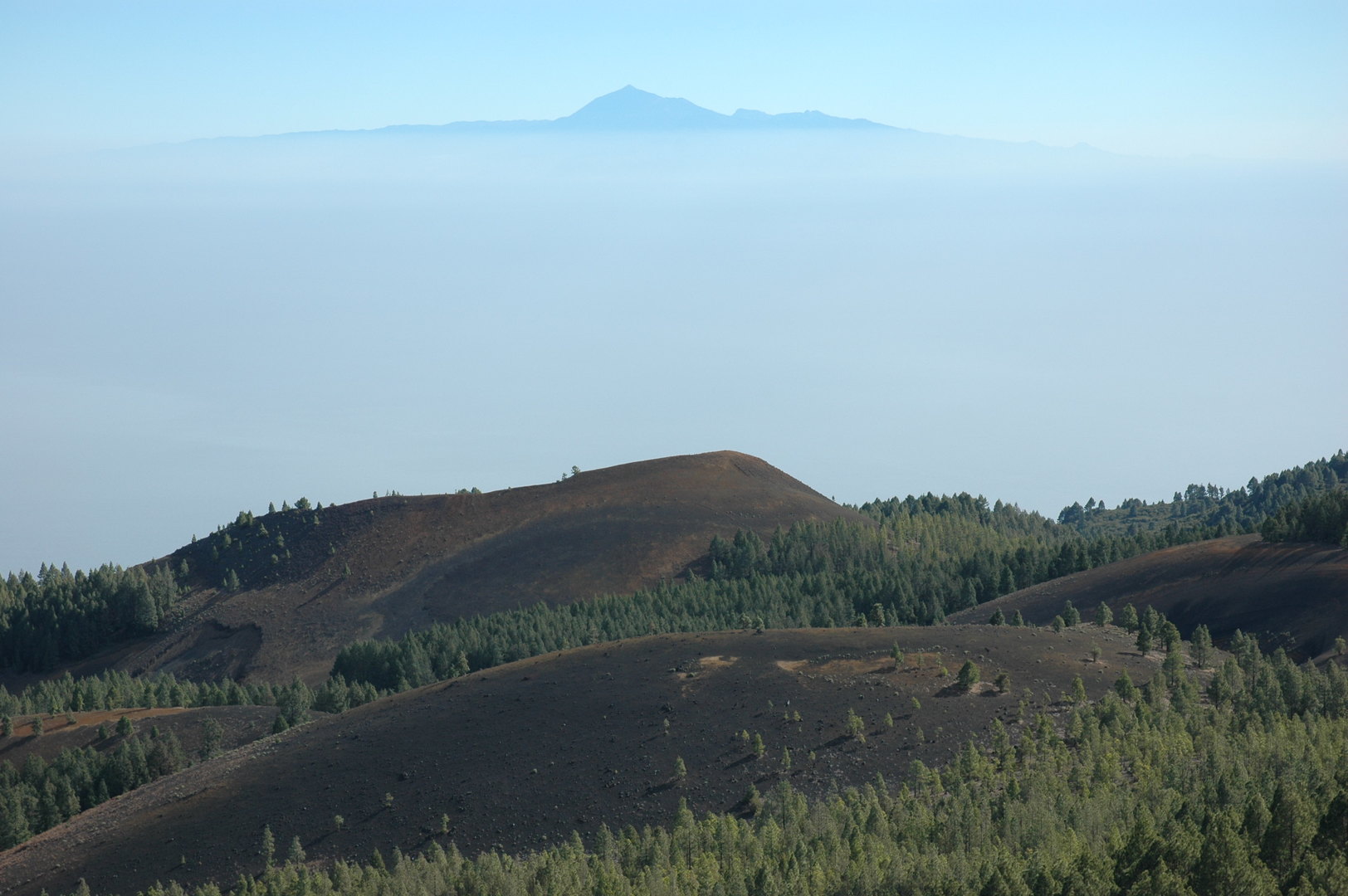 Cumbre Vieja :: Pico Brigoyo :: eastern volcanic slopes and the floating Tenerife
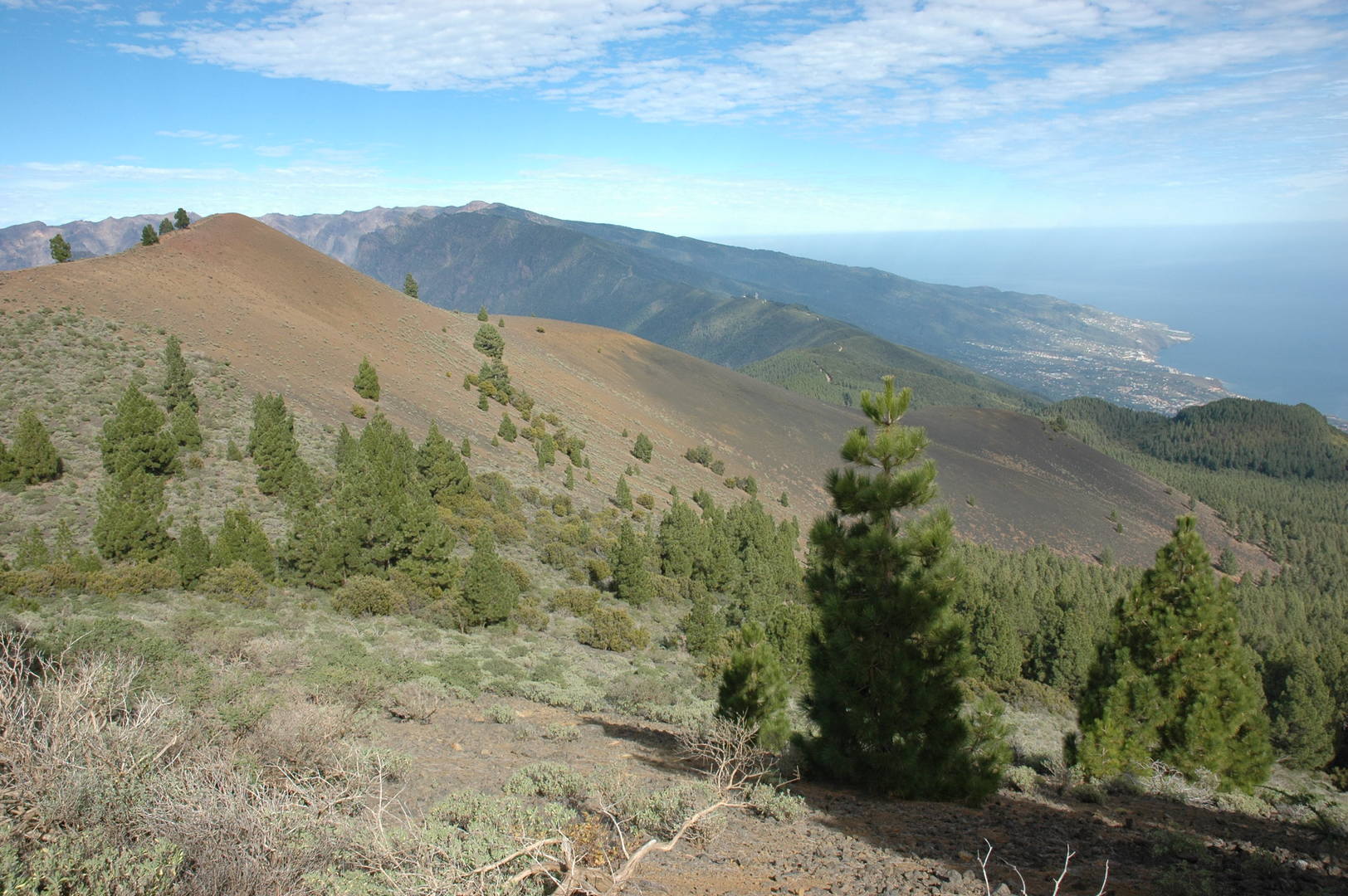 Cumbre Vieja :: Montaña la Barquita :: Pico Brigoyo, Pico de las Nieves, Santa Cruz de La Palma
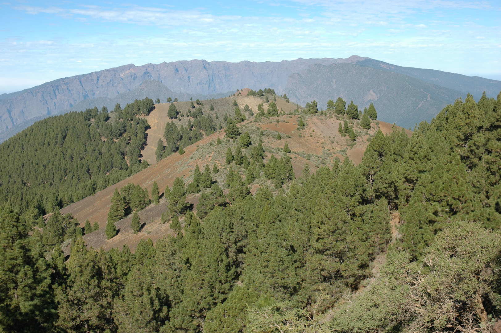 Cumbre Vieja :: Montaña de los Charcas :: the view towards Caldera
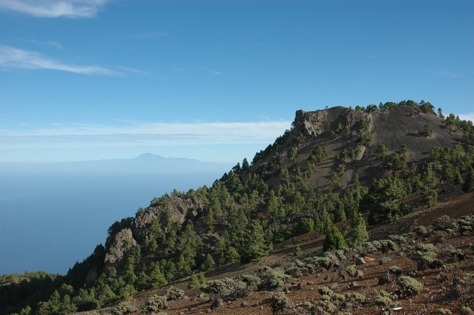 Cumbre Vieja :: opposite Pico Nambroque
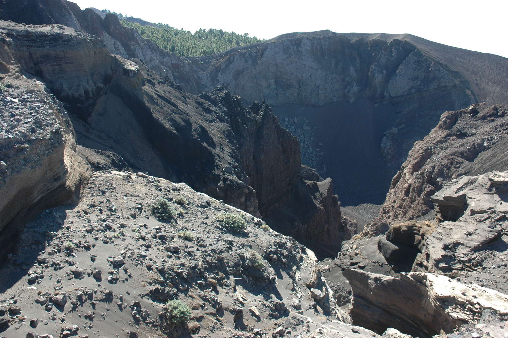 Cumbre Vieja :: the Hoyo Negro crater
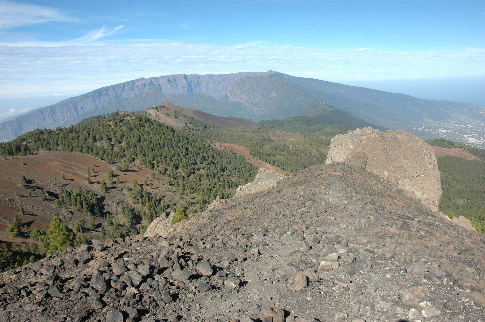 Cumbre Vieja :: Pico Nambroque :: Pico Brogoyo and the Caldera behind
 Cumbre Vieja :: Pico Nambroque :: looking down to the east coast
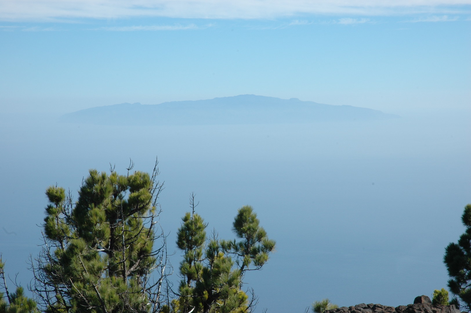 Cumbre Vieja :: Pico Nambroque :: the Gomera island
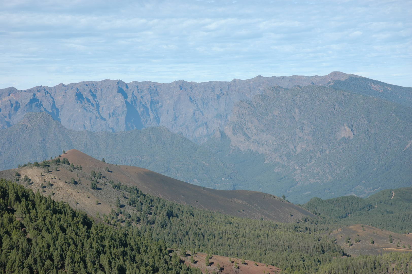 Cumbre Vieja :: Pico Nambroque :: Pico Brigoyo and the Caldera de Taburiente
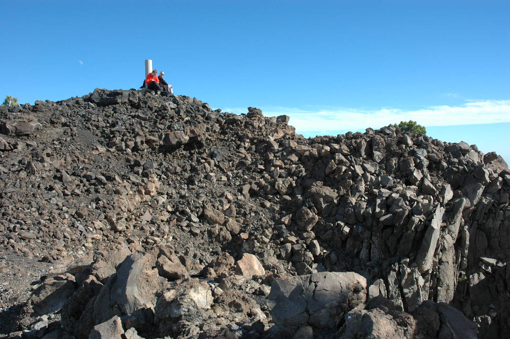 Cumbre Vieja :: Pico Nambroque :: the top marker
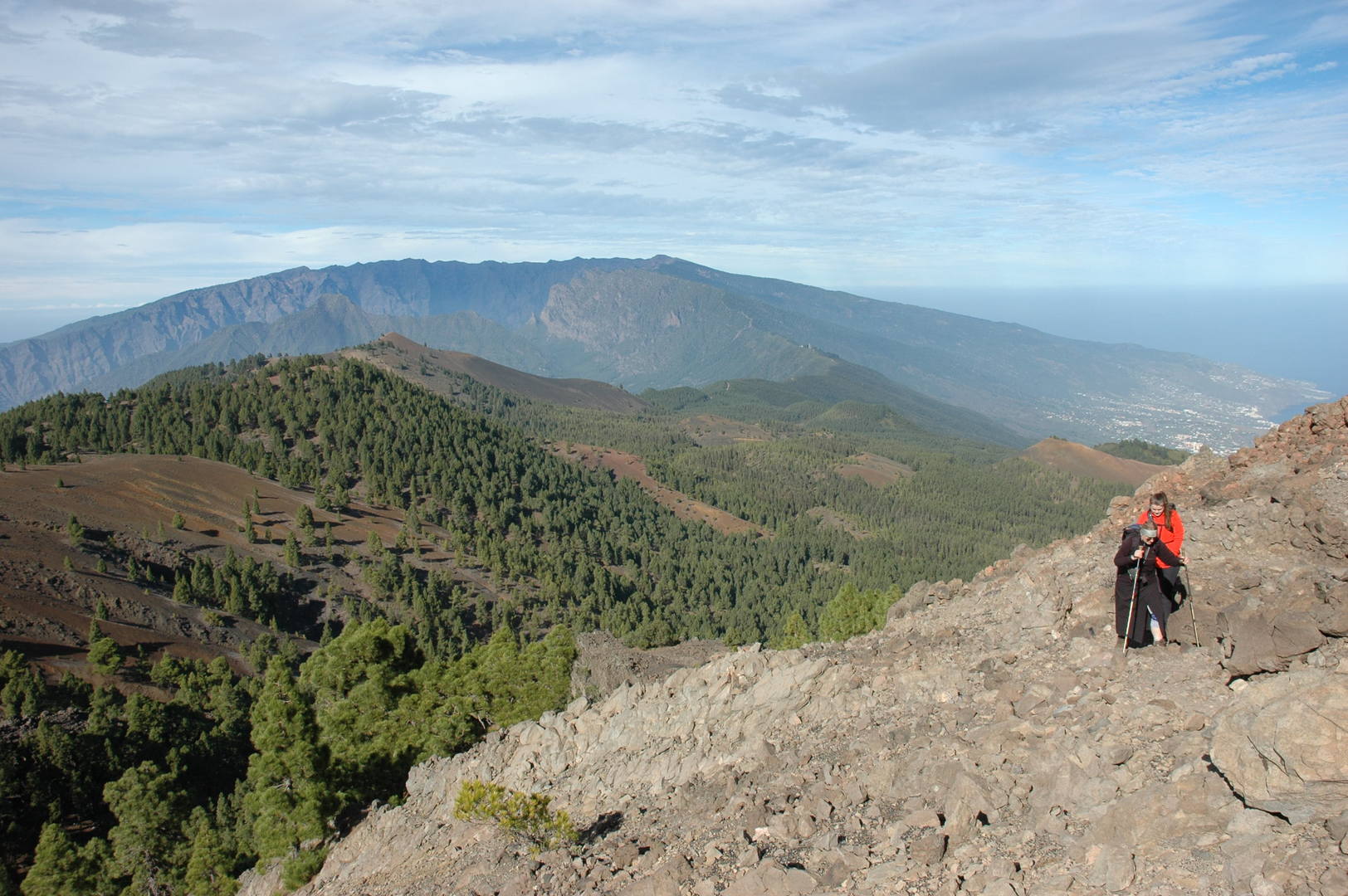 Cumbre Vieja :: descending from Pico Nambroque
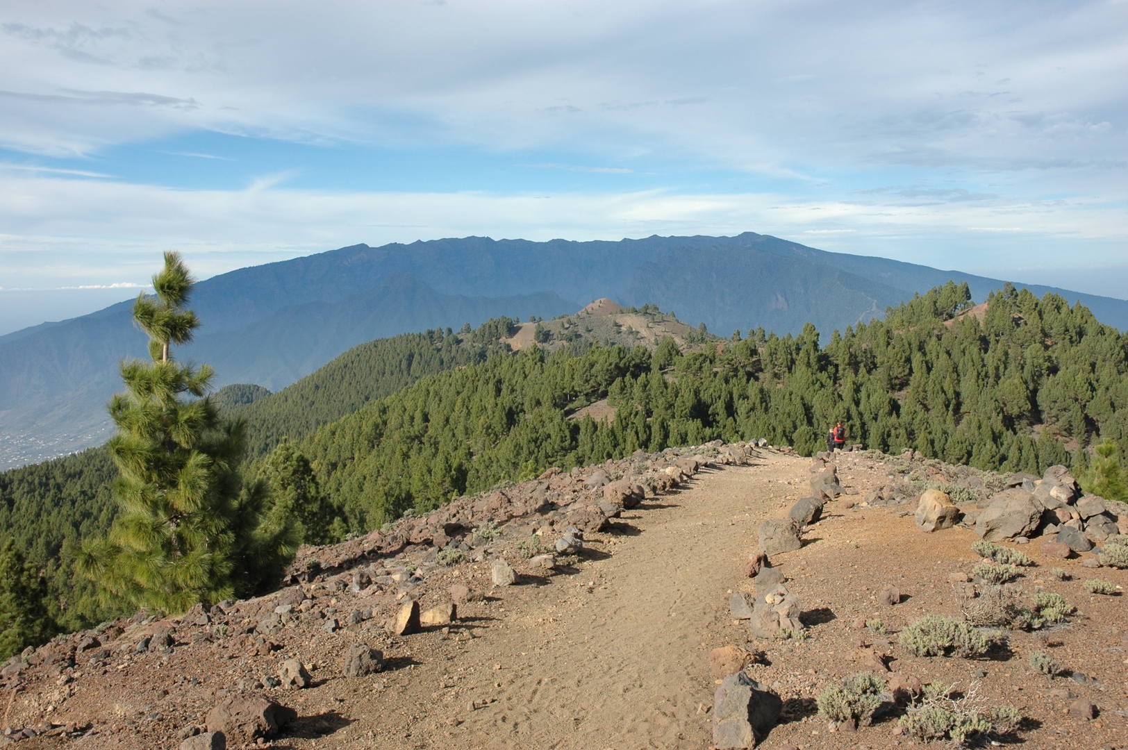 Cumbre Vieja :: going back north on the Cumbre ridge
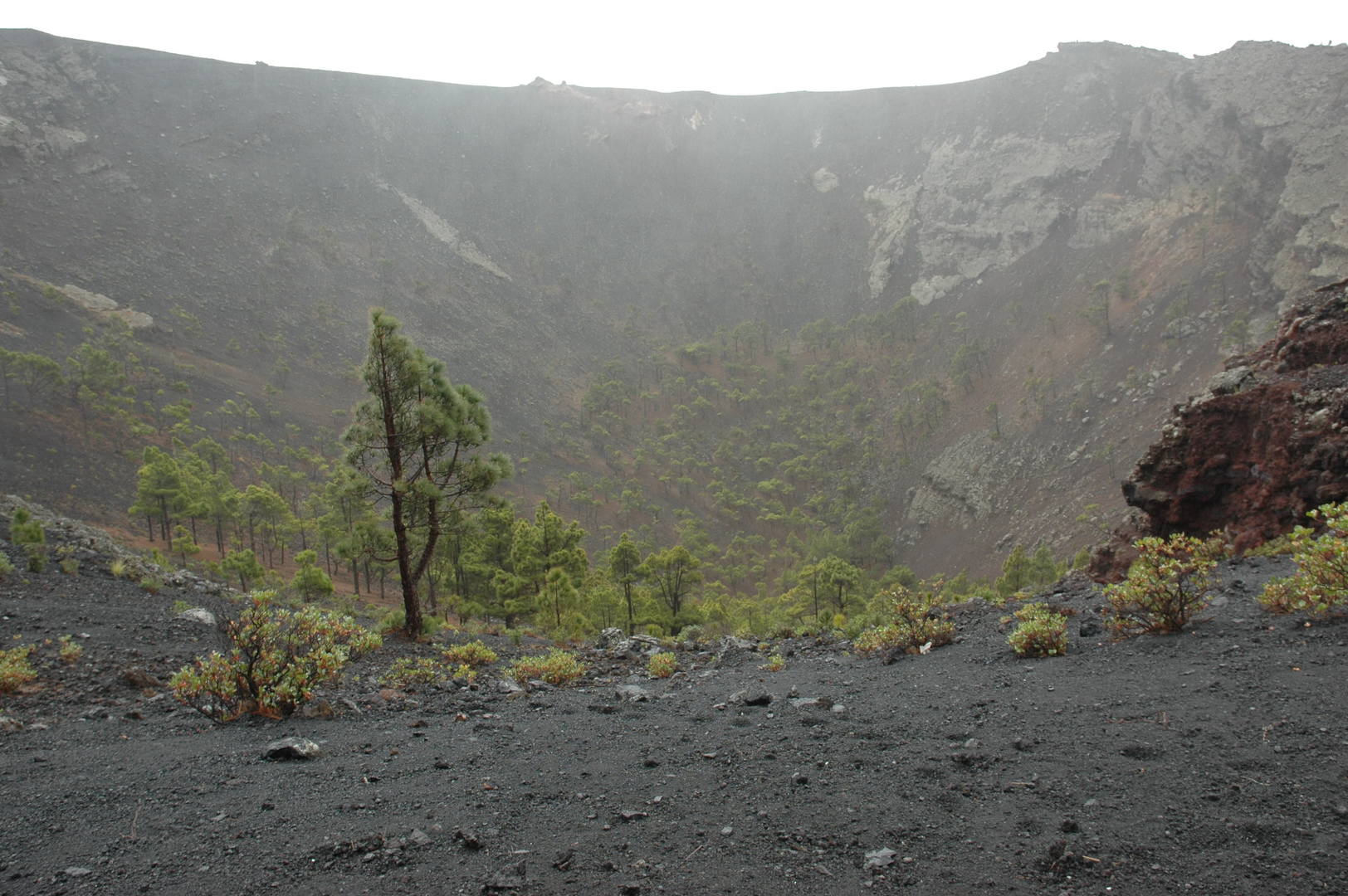 Teneguía :: the inner side of the San Antonio crater
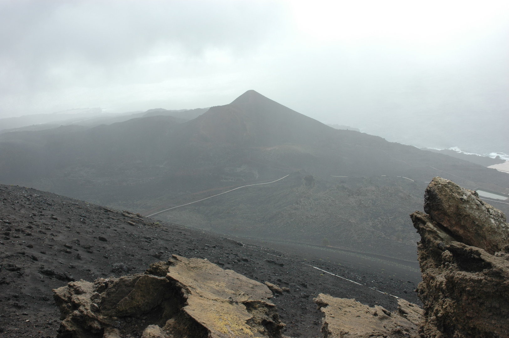 Teneguía :: the Teneguía volcano seen from the San Antonio ridge
 Teneguía :: a rainbow inside the San Antonio crater, the village of Fuencaliente behind
 Teneguía :: climbing towards the Teneguía volcano, San Antonio crater and annoying water pipes behind
 Teneguía :: the view from the top towards Punta de Fuencaliente
 Teneguía :: the top marker, the San Antonio volcano behind
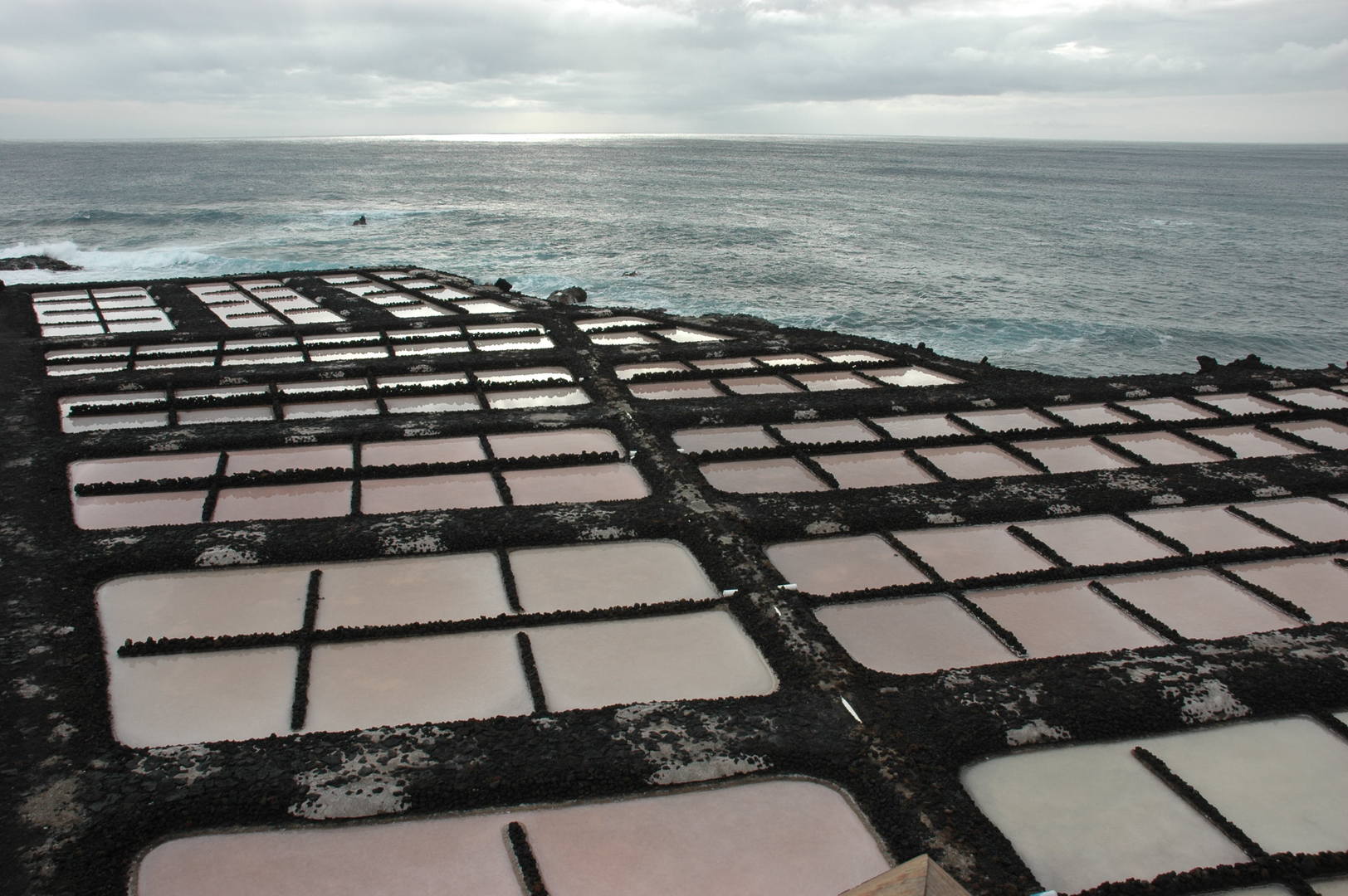 Teneguía :: salinas by Punta de Fuencaliente
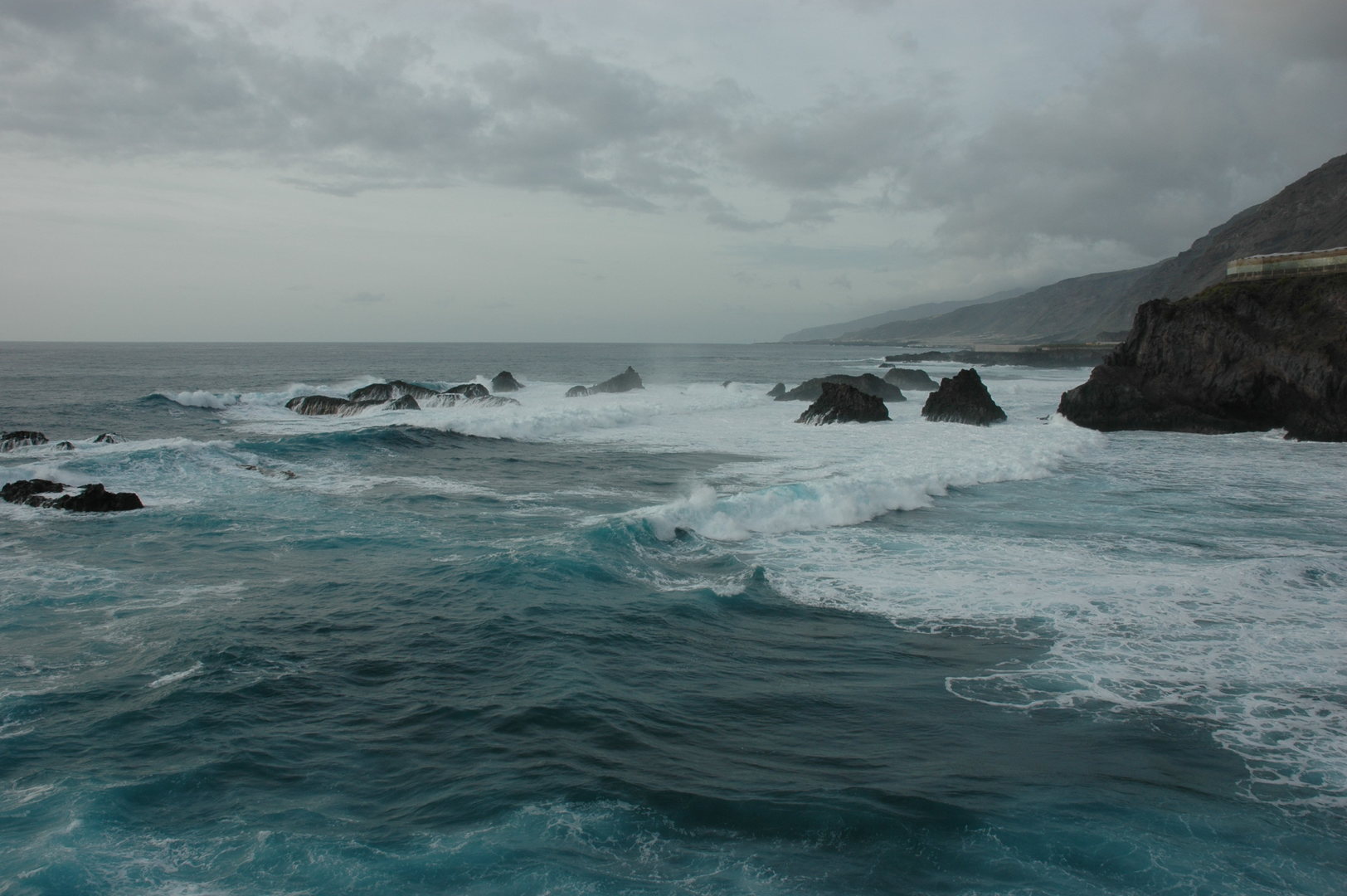 Teneguía :: the sea by Playa de Zamora
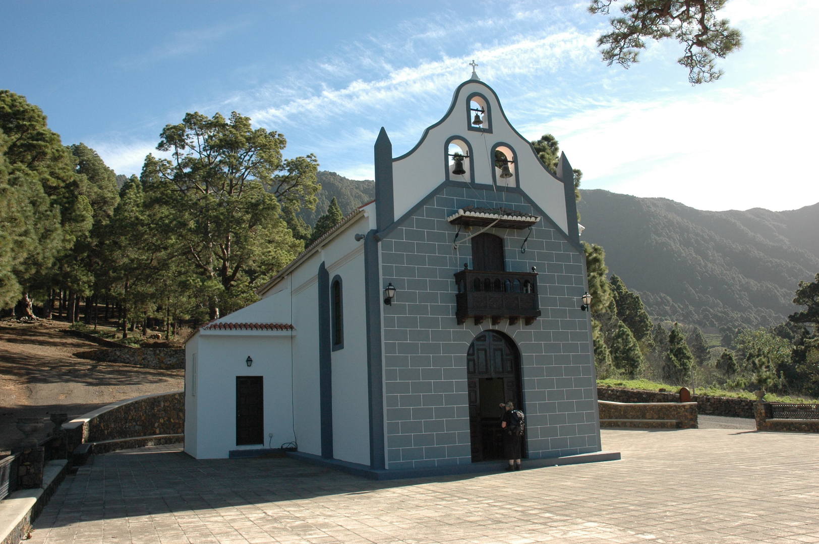
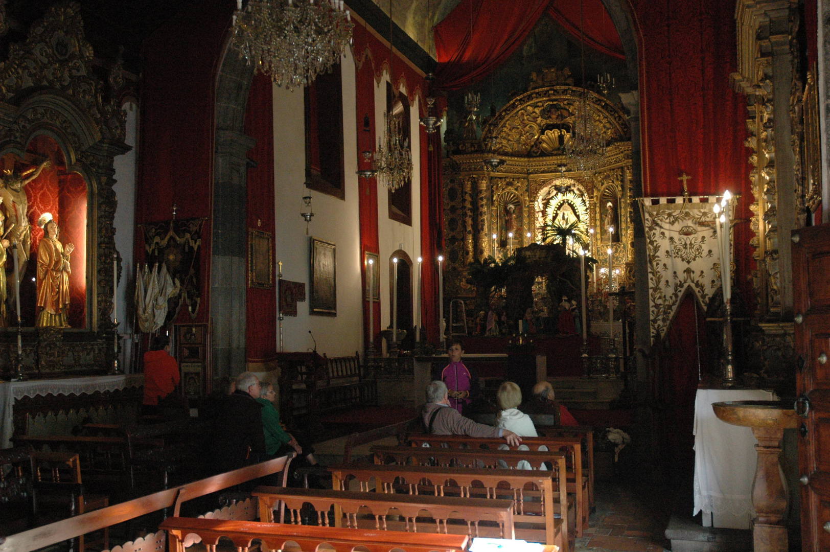 Barranco de la Madera :: Santuario de Nuestra Señora de las Nieves
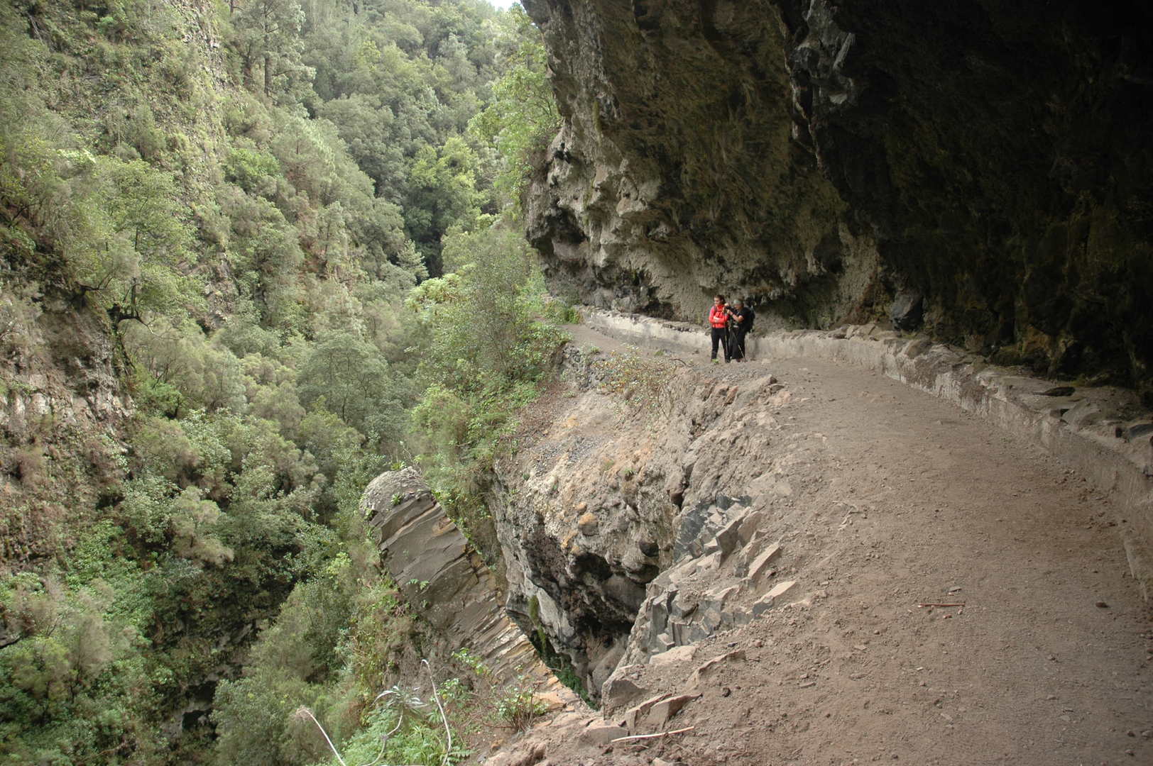 Barranco de la Madera :: in the upper part
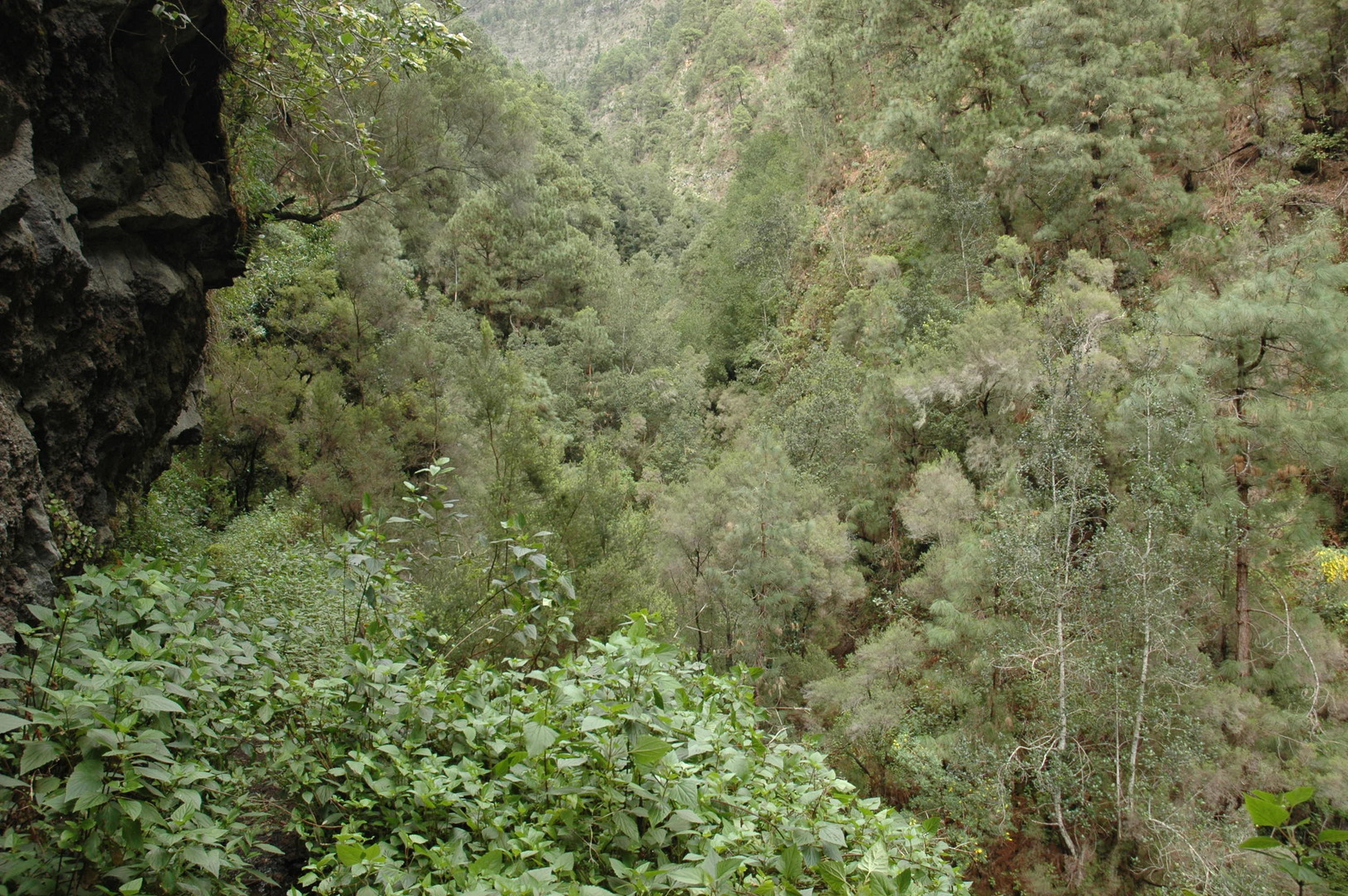 Barranco de la Madera :: the wild canyon bottom
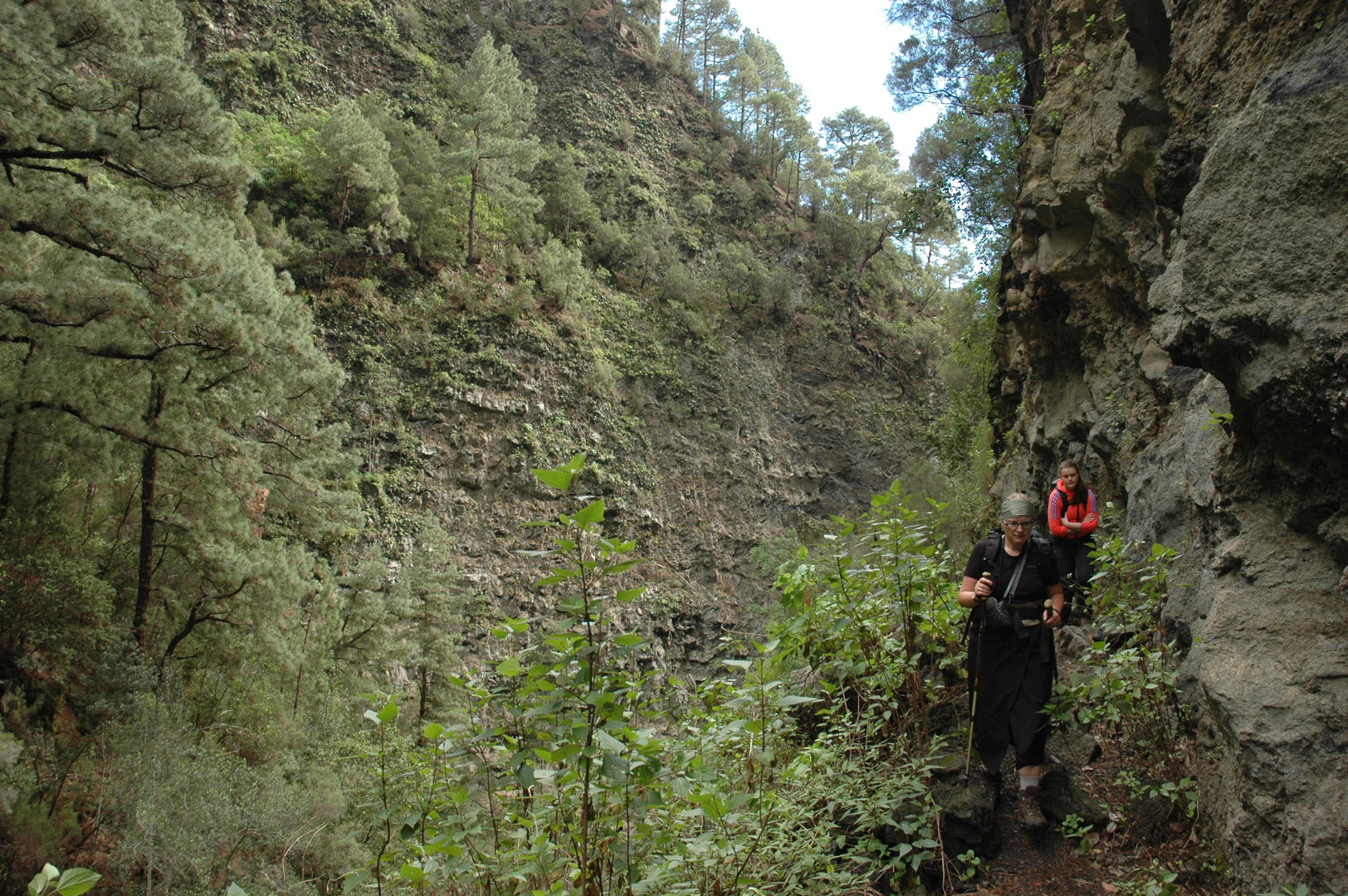 Barranco de la Madera :: the path gets narrower
 Barranco de la Madera :: the end of the valley with the still unseen tunnel entrance
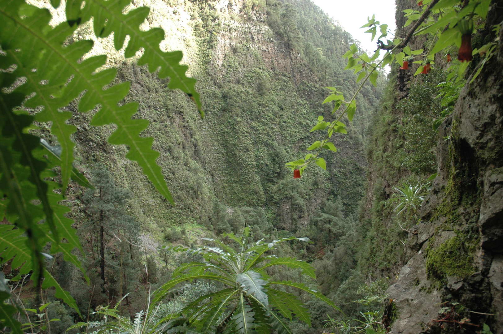 Barranco de la Madera :: looking out of a window in the water channel tunnel
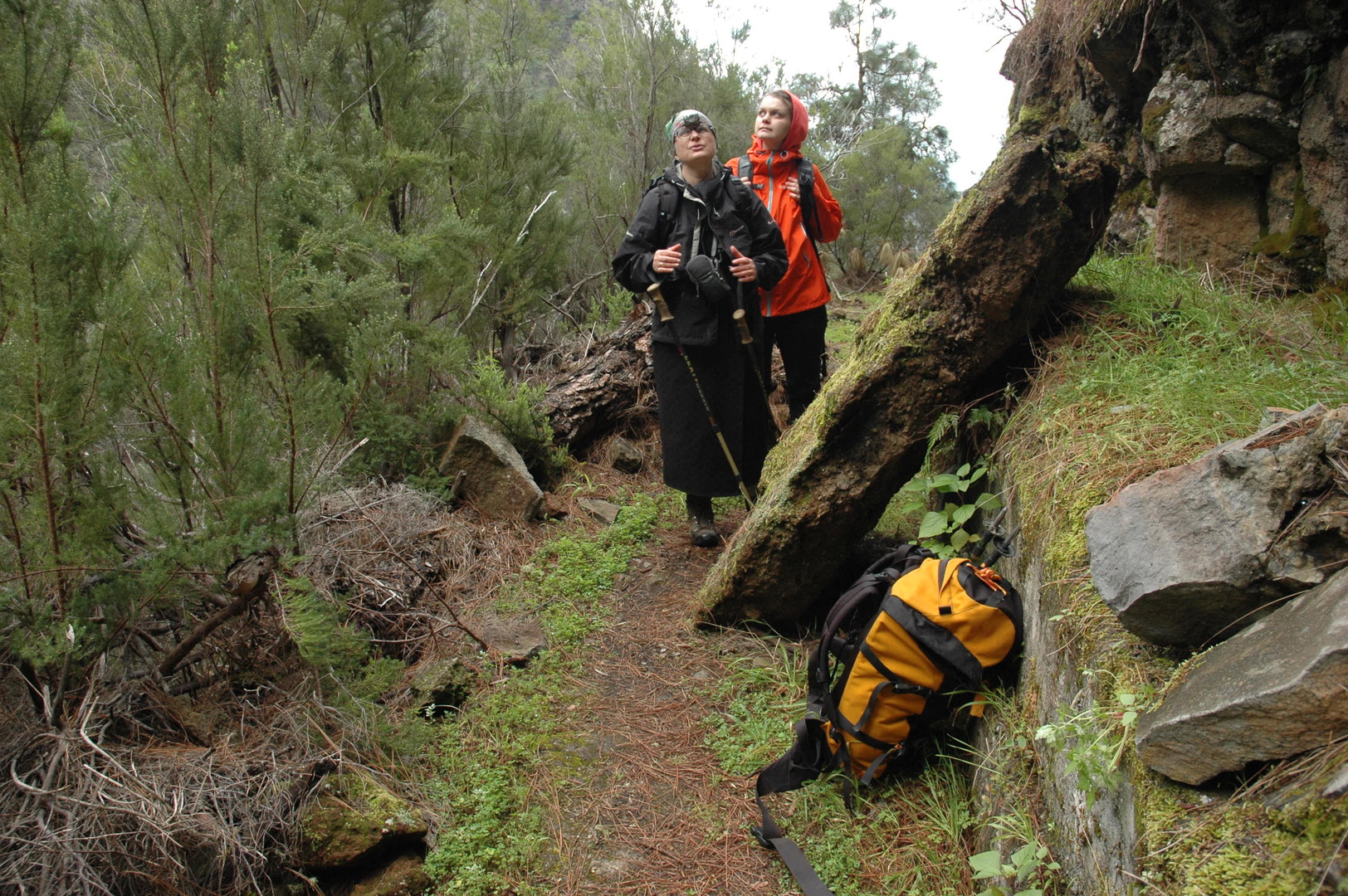 Barranco de la Madera :: out of tunels, with headlamps still on
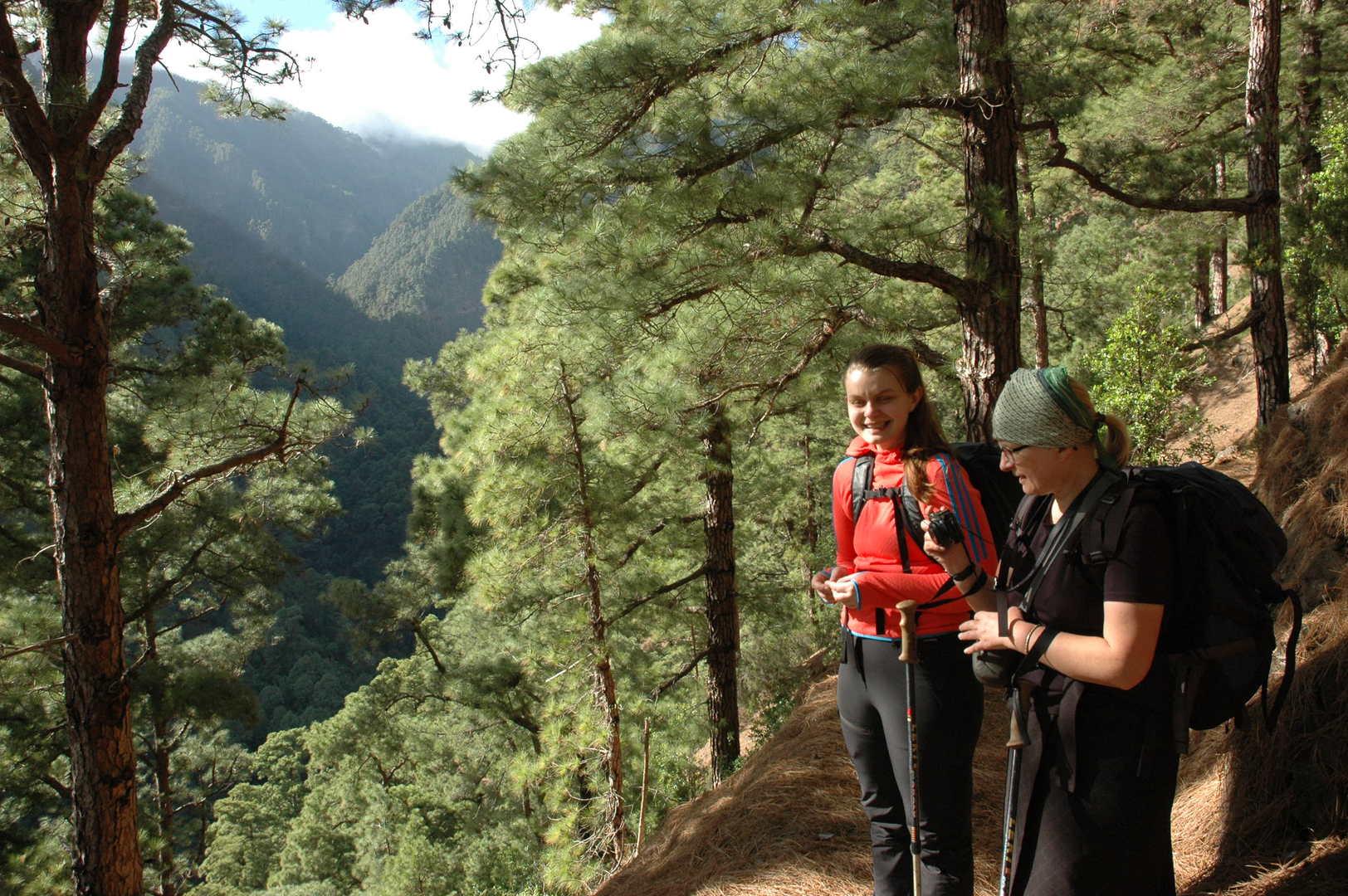 Barranco de la Madera :: descending in pine woods above the Barranco del Rio de las Nieves
 Barranco de la Madera :: Barranco del Rio de las Nieves :: the vegetation boundary
 Barranco de la Madera :: looking up the Barranco del Rio de las Nieves over a private property fence
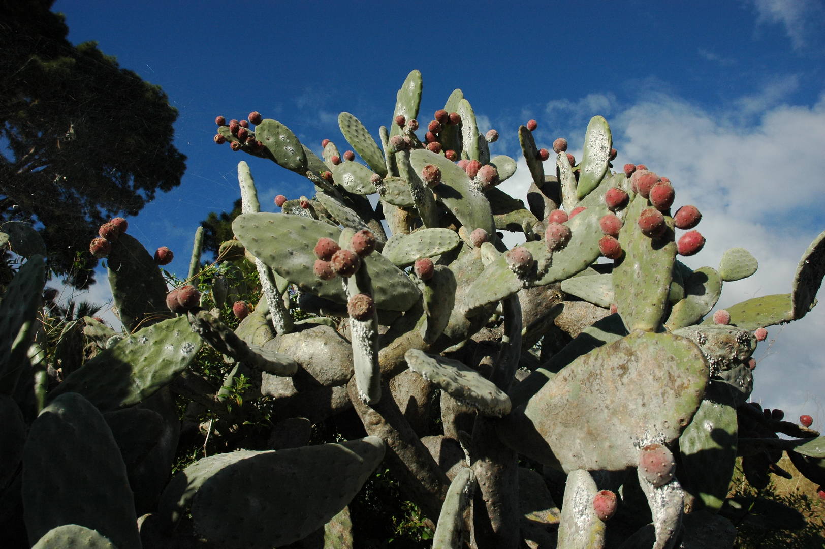 Barranco de la Madera :: cactii
 Pico Bejenado :: in the slopes above the Aridane valley
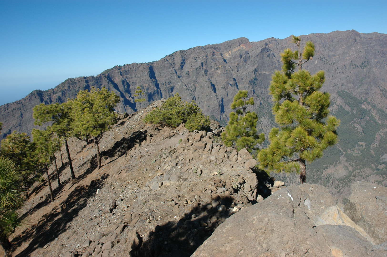 Pico Bejenado :: the top ridge high above the Caldera de Taburiente
 Pico Bejenado :: the caldera ridge from Roque de los Muchachos to Pico de las Nieves
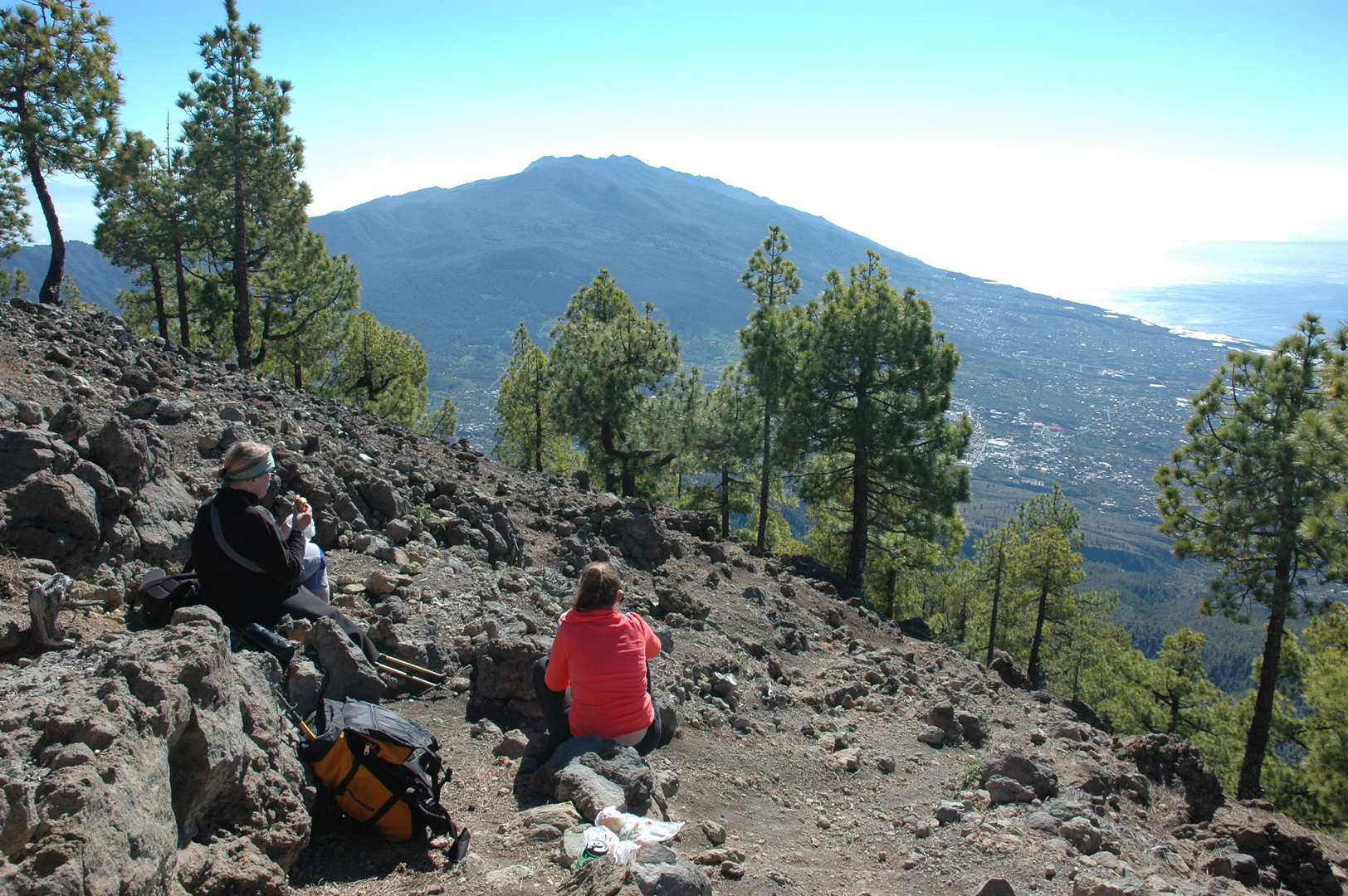 Pico Bejenado :: resting on the top, Cumbre Vieja behind
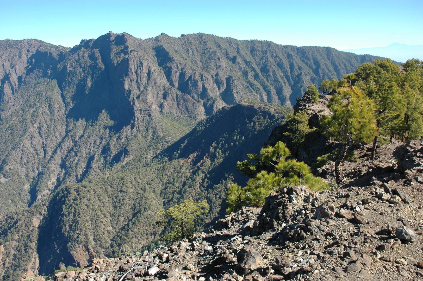 Pico Bejenado :: the view towards the cumbrecita pass below and Punta de los Roques above
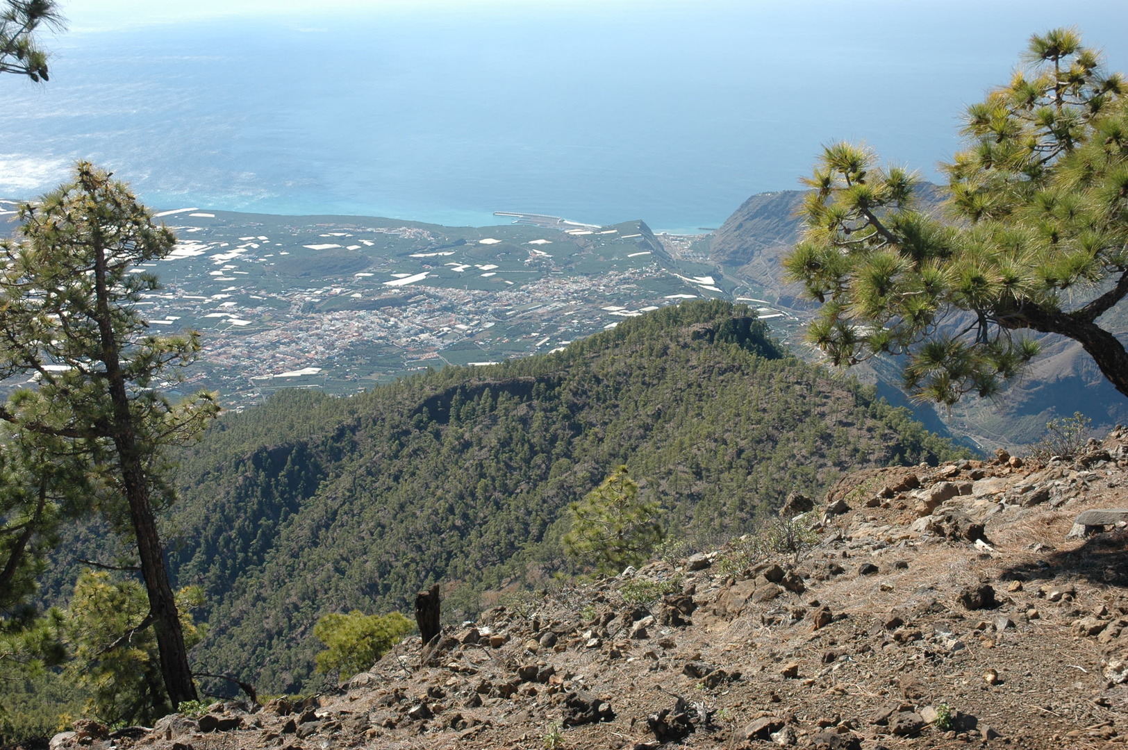 Pico Bejenado :: the view towards the Barranco de las Angustias outlet with Puerto de Tazacorte
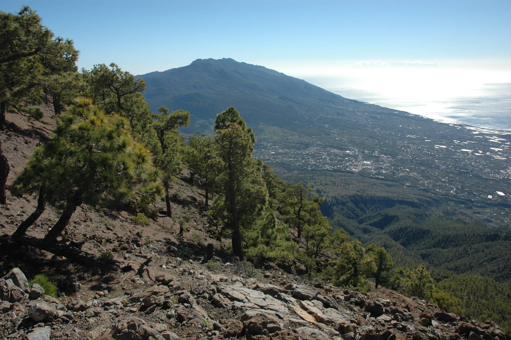 Pico Bejenado :: Cumbre Vieja view, shiny banana plantages, the El Hierro island appears
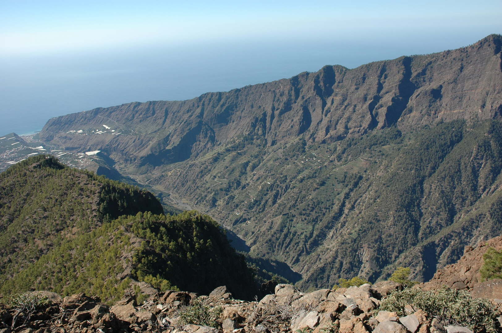 Pico Bejenado :: the lower part of the Barranco de las Angustias
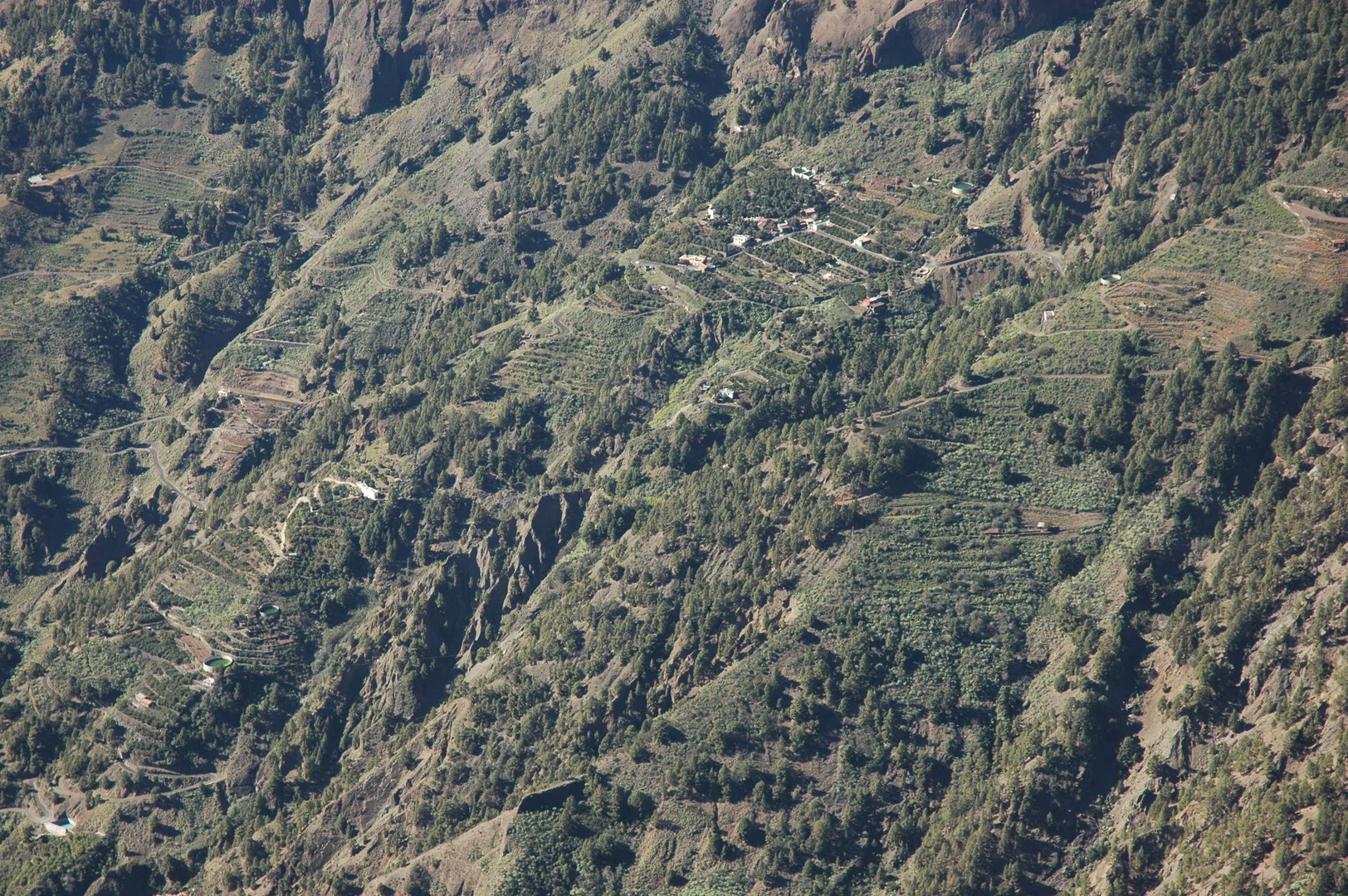 Pico Bejenado :: La Caldera village on the opposite slopes of the Barranco de las Angustias
 Pico Bejenado :: El Rodeo :: Cumbre Nueva, Pico Brigoyo group in the Cumbre Vieja
 Pico Bejenado :: El Rodeo :: looking towards the Cumbrecita
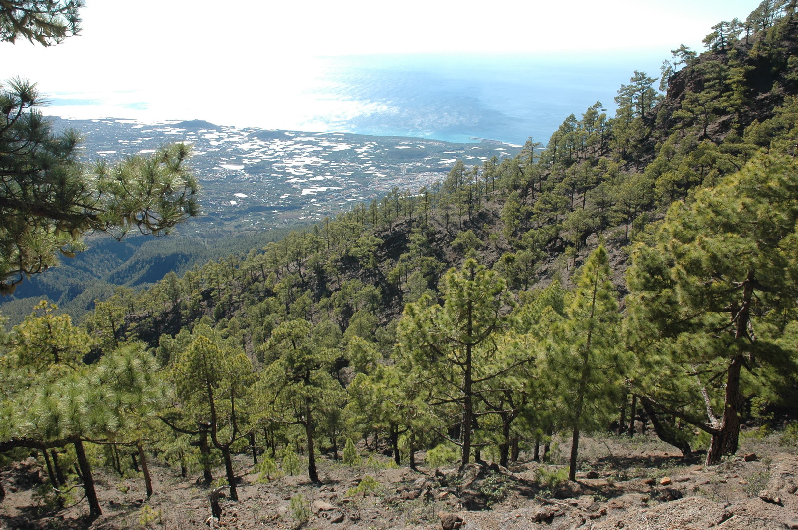 Pico Bejenado :: El Rodeo :: looking towards the Aridane valley
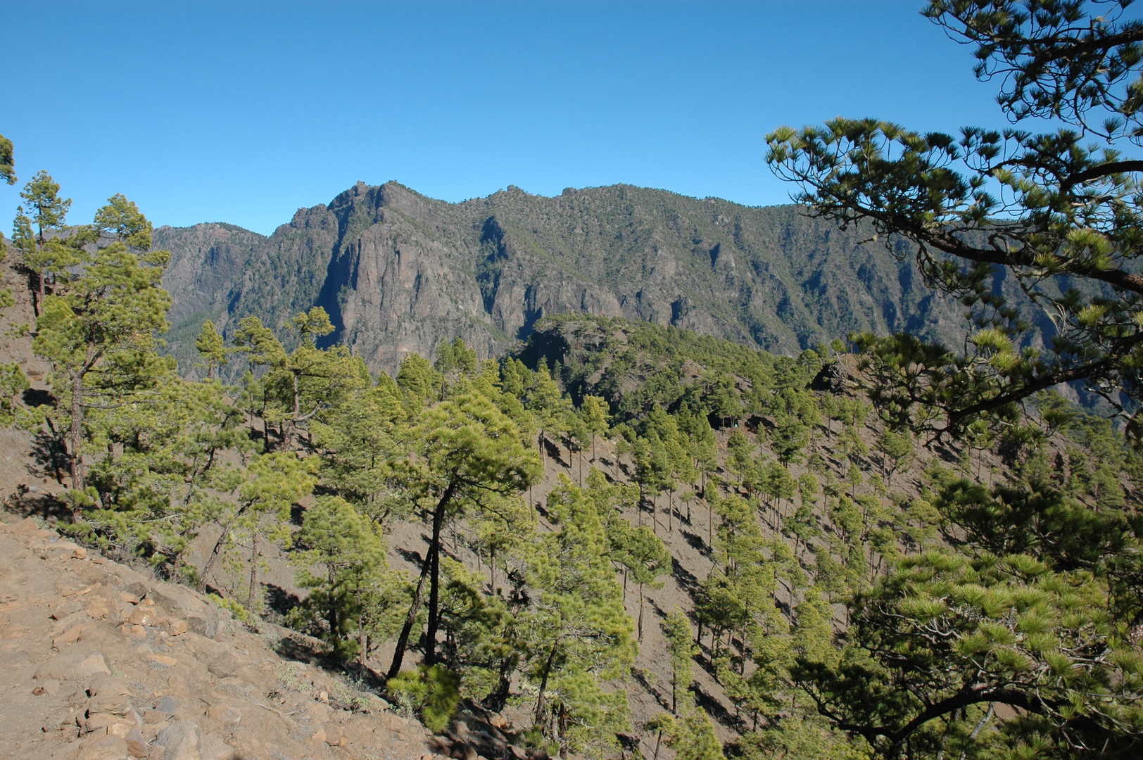 Pico Bejenado :: behind El Rodeo :: Punta de los Roques
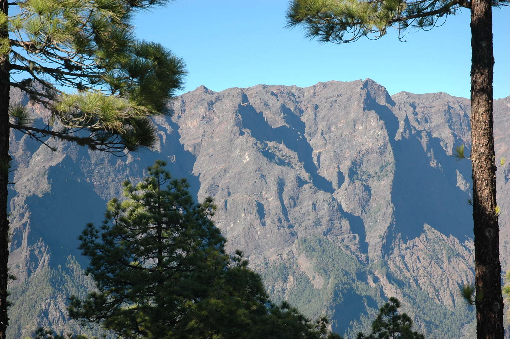 Pico Bejenado :: behind El Rodeo :: Roque de los Muchachos
 Pico Bejenado :: behind El Rodeo :: Caldera ridges
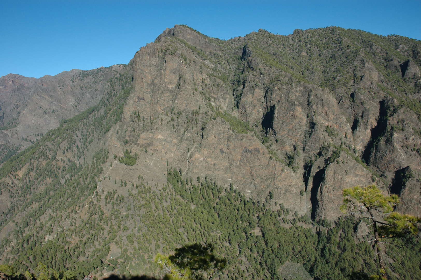 Pico Bejenado :: above Cumbrecita :: Punta de los Roques
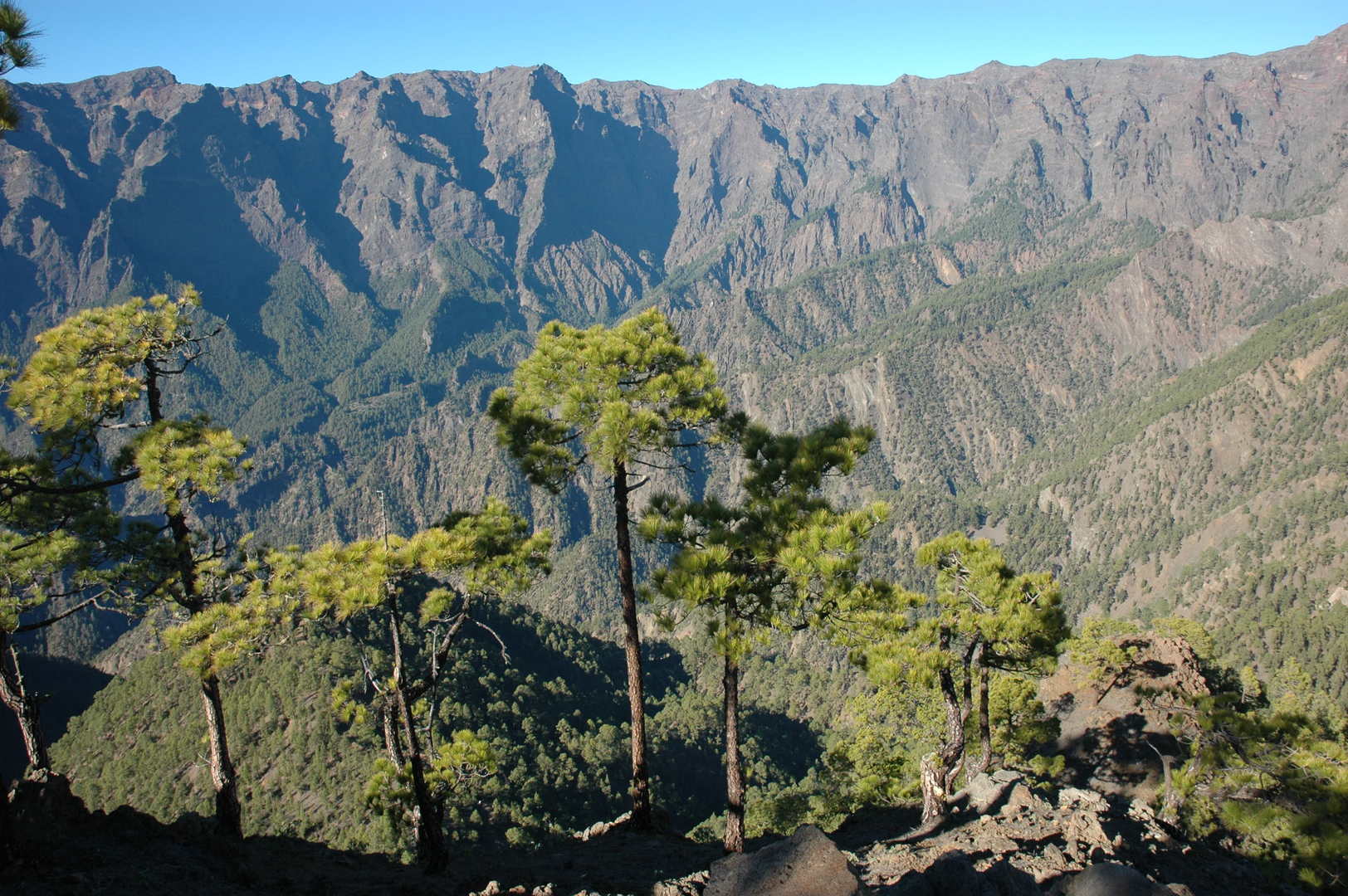 Pico Bejenado :: above Cumbrecita :: looking down to the Caldere interior
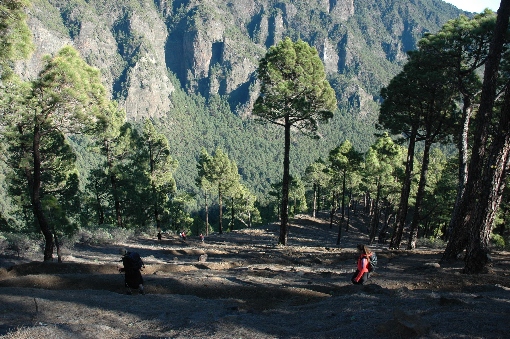 Pico Bejenado :: taking down the ridge above the Riachuelo valley
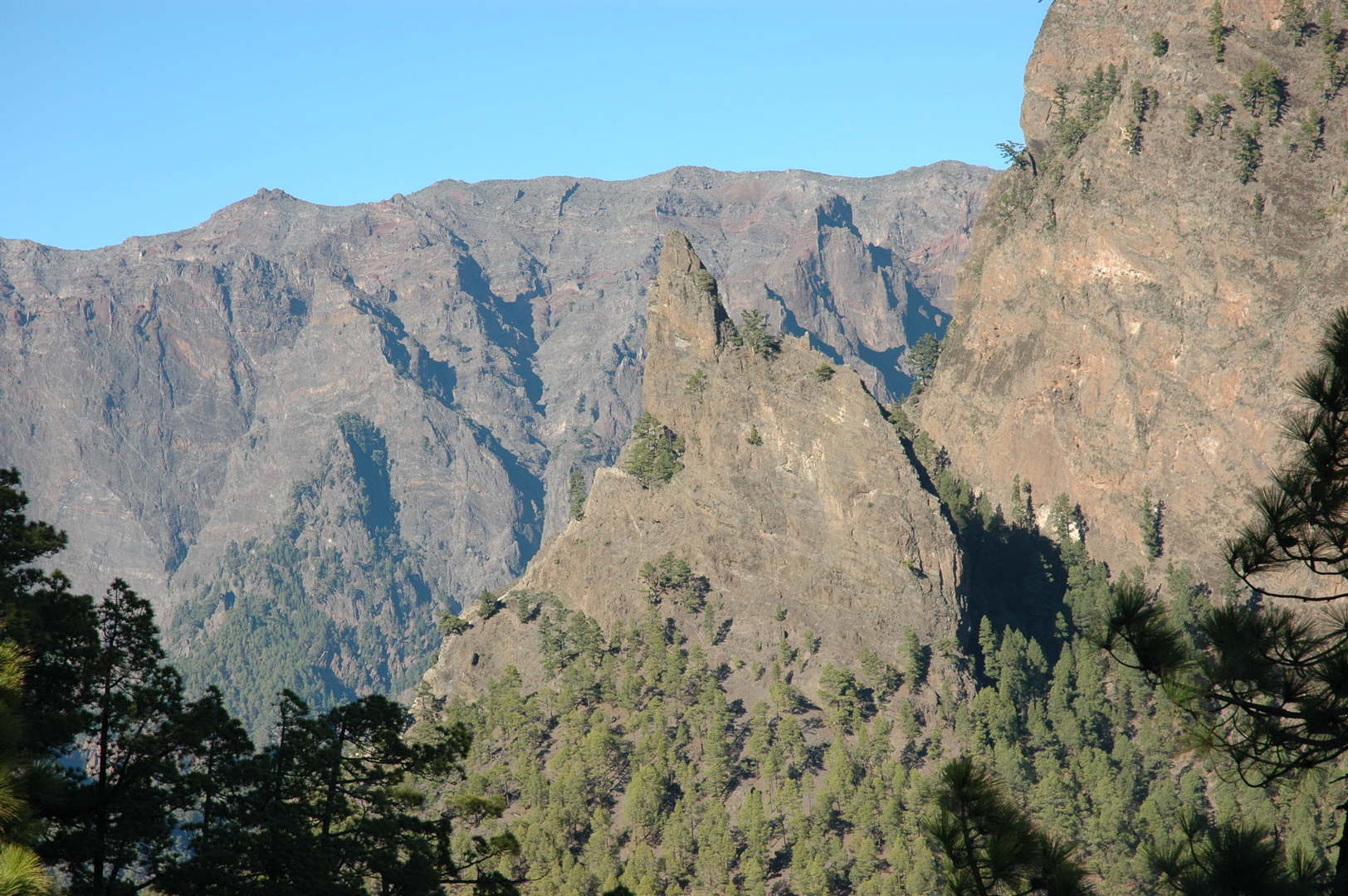 Pico Bejenado :: the characteristic Roques de la Cumbrecita
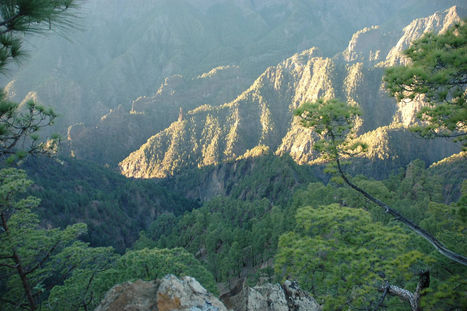 Pico Bejenado :: Mirador de las Chozas :: looking down to the caldera
 Pico Bejenado :: Mirador de las Chozas :: the famous Idafe rock
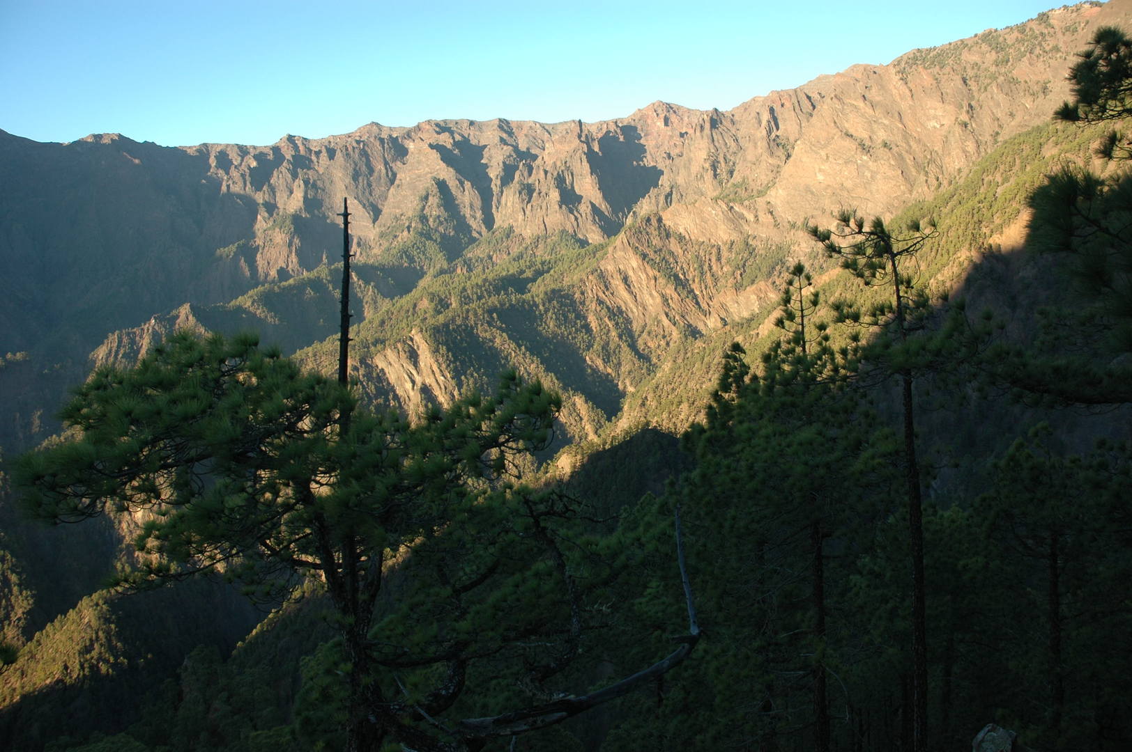 Pico Bejenado :: Cumbrecita :: the sunset
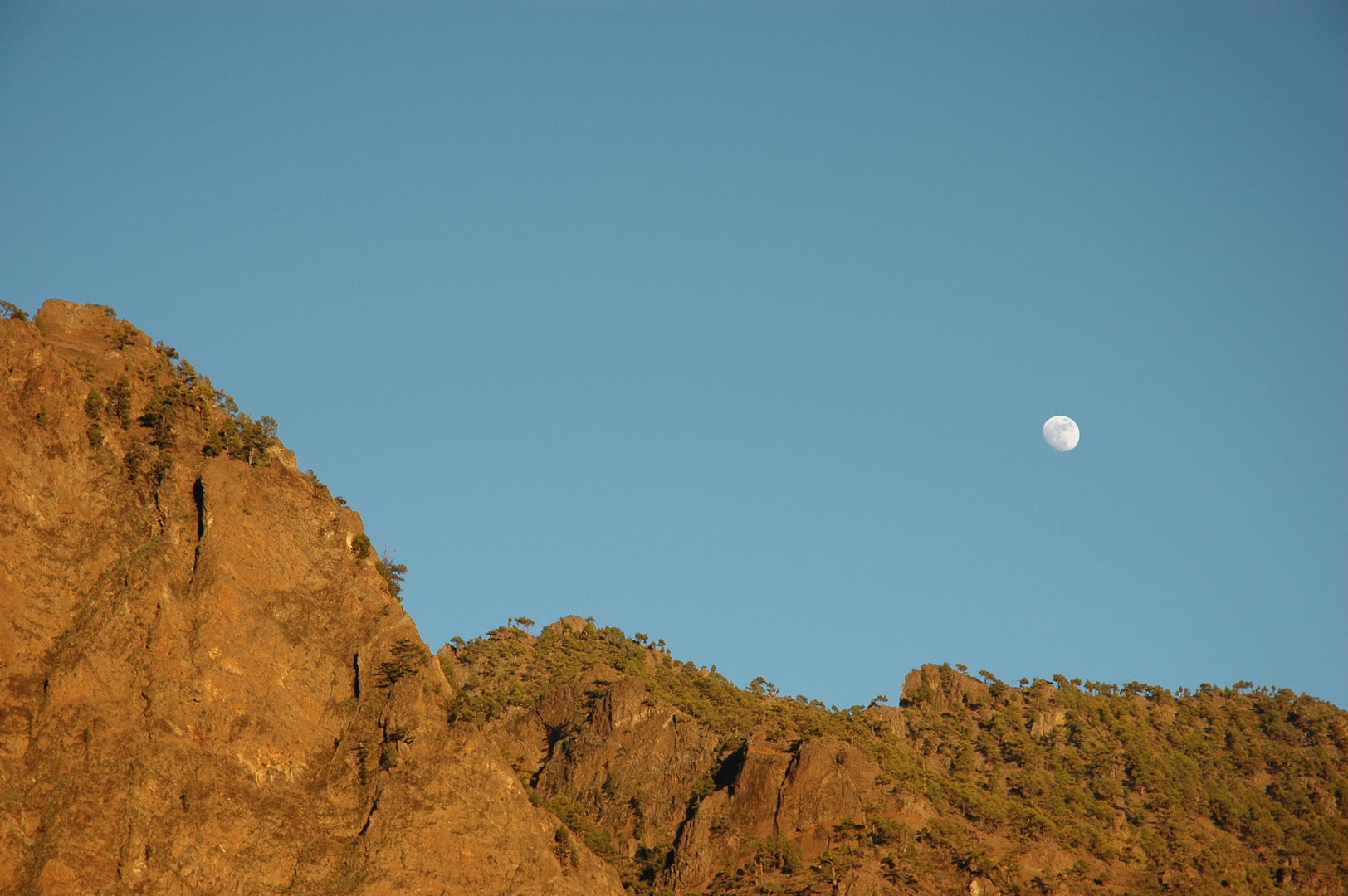 Pico Bejenado :: Cumbrecita :: the moonrise
 Los Llanos :: a christmas tree (replacement)
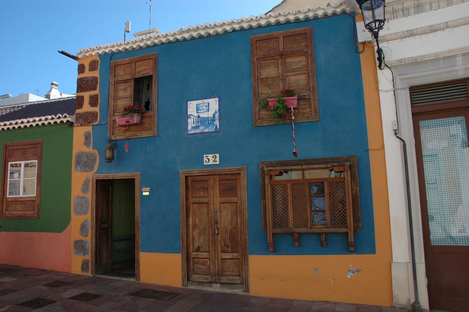 Los Llanos :: a colourful house
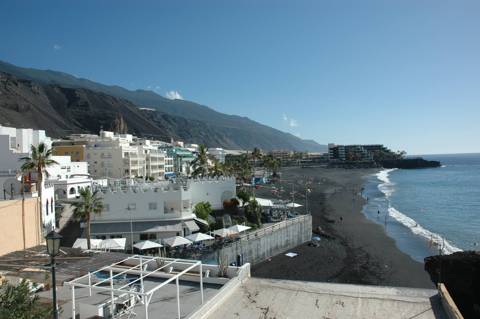 Puerto Naos :: coastal architecture version one
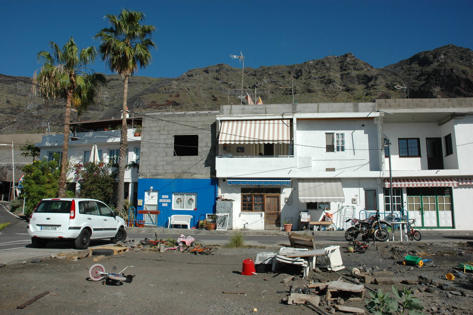 El Remo :: coastal architecture version two
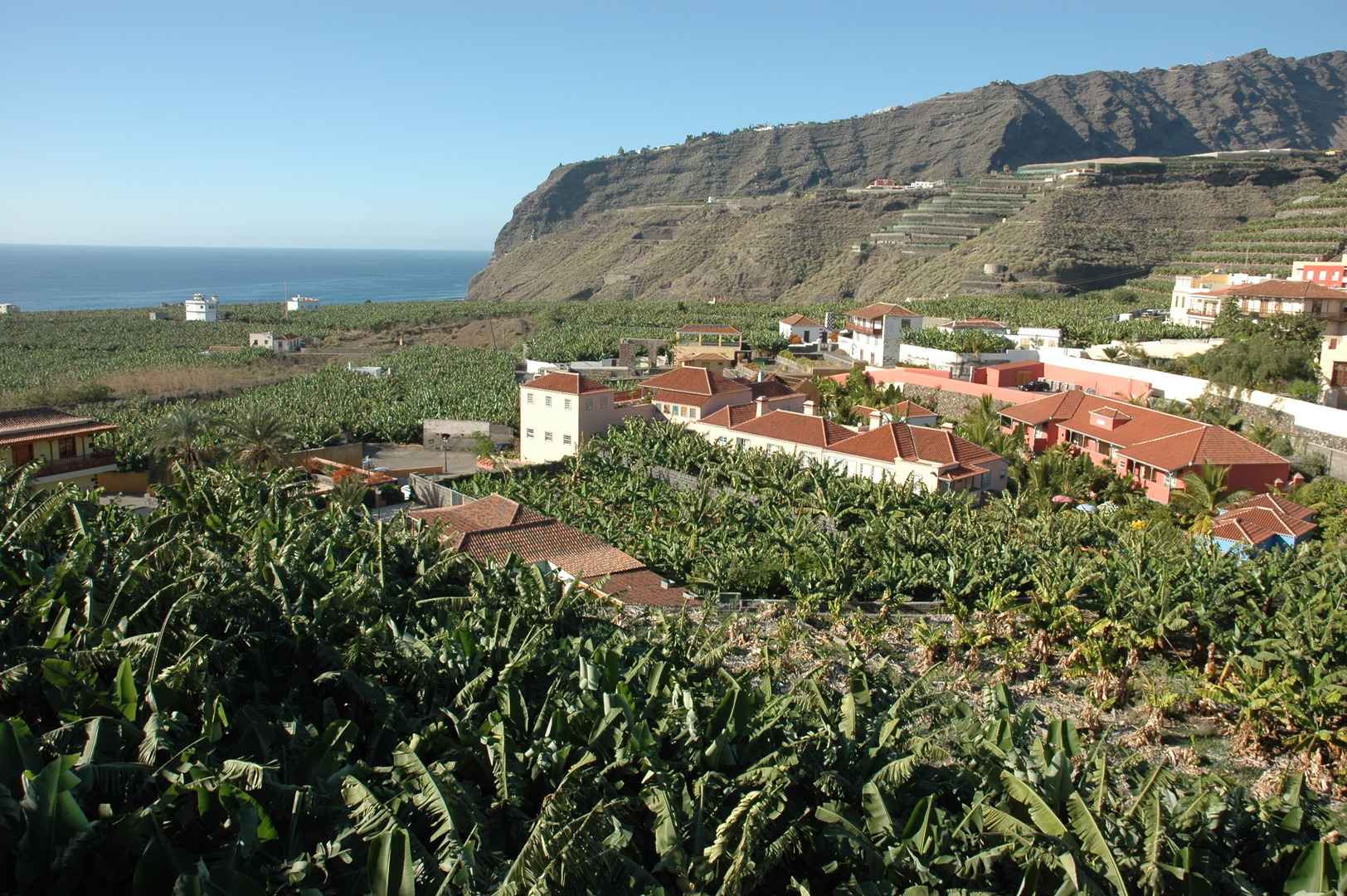 Tazacorte :: banana plantations (and museum)
 Tazacorte :: a banana promenade
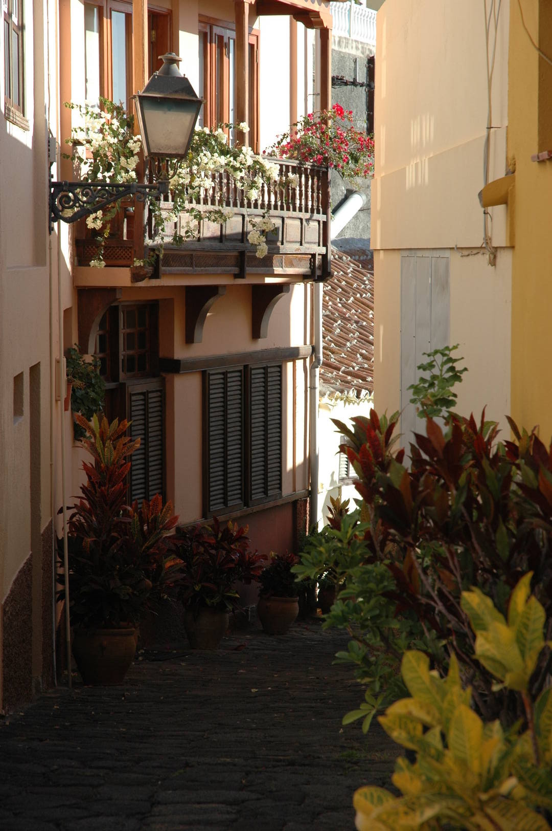 Tazacorte :: a backstreet
 Tazacorte :: small houses
 Puerto de Tazacorte :: coastal architecture version three
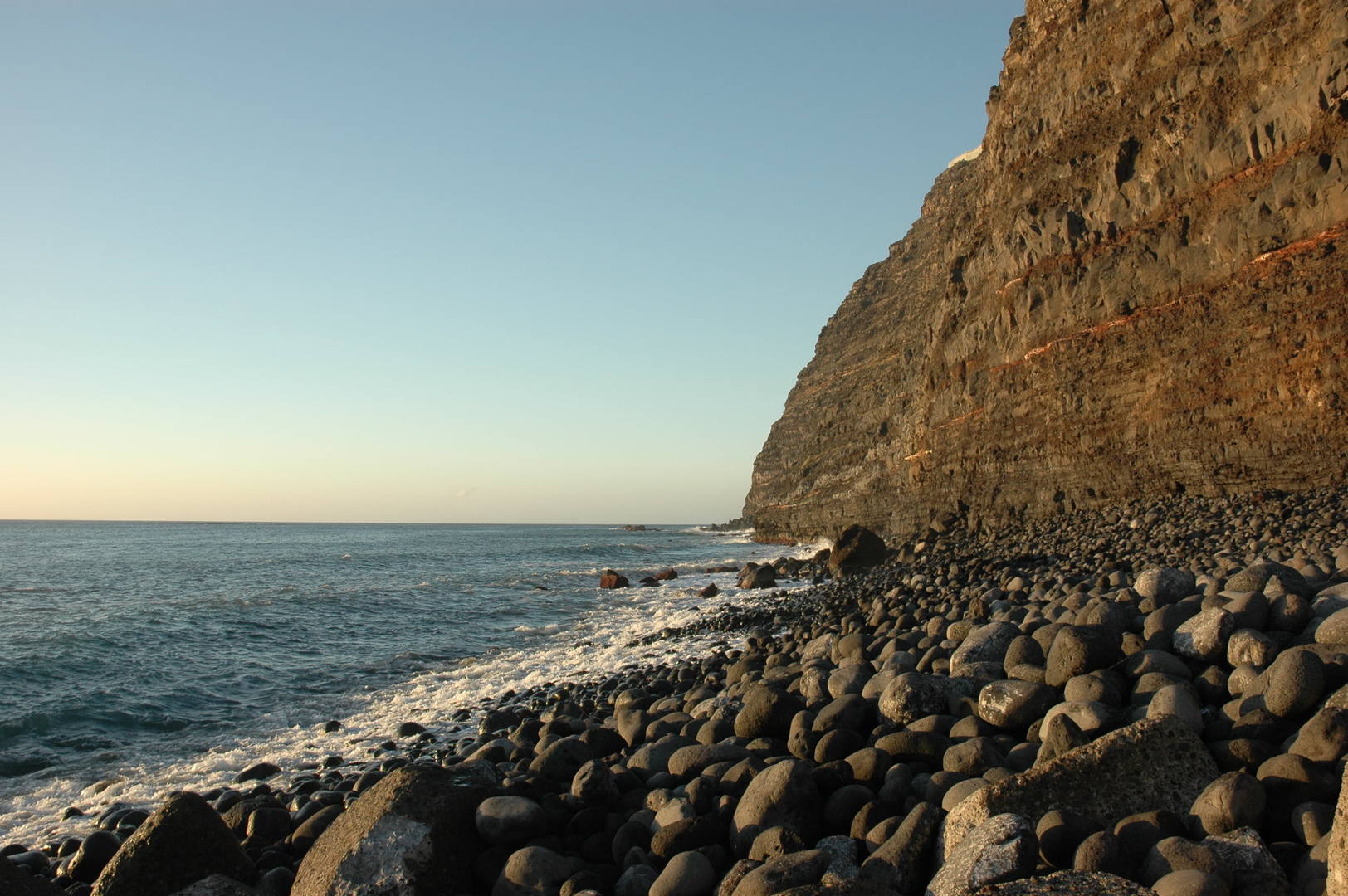 Puerto de Tazacorte :: high coast
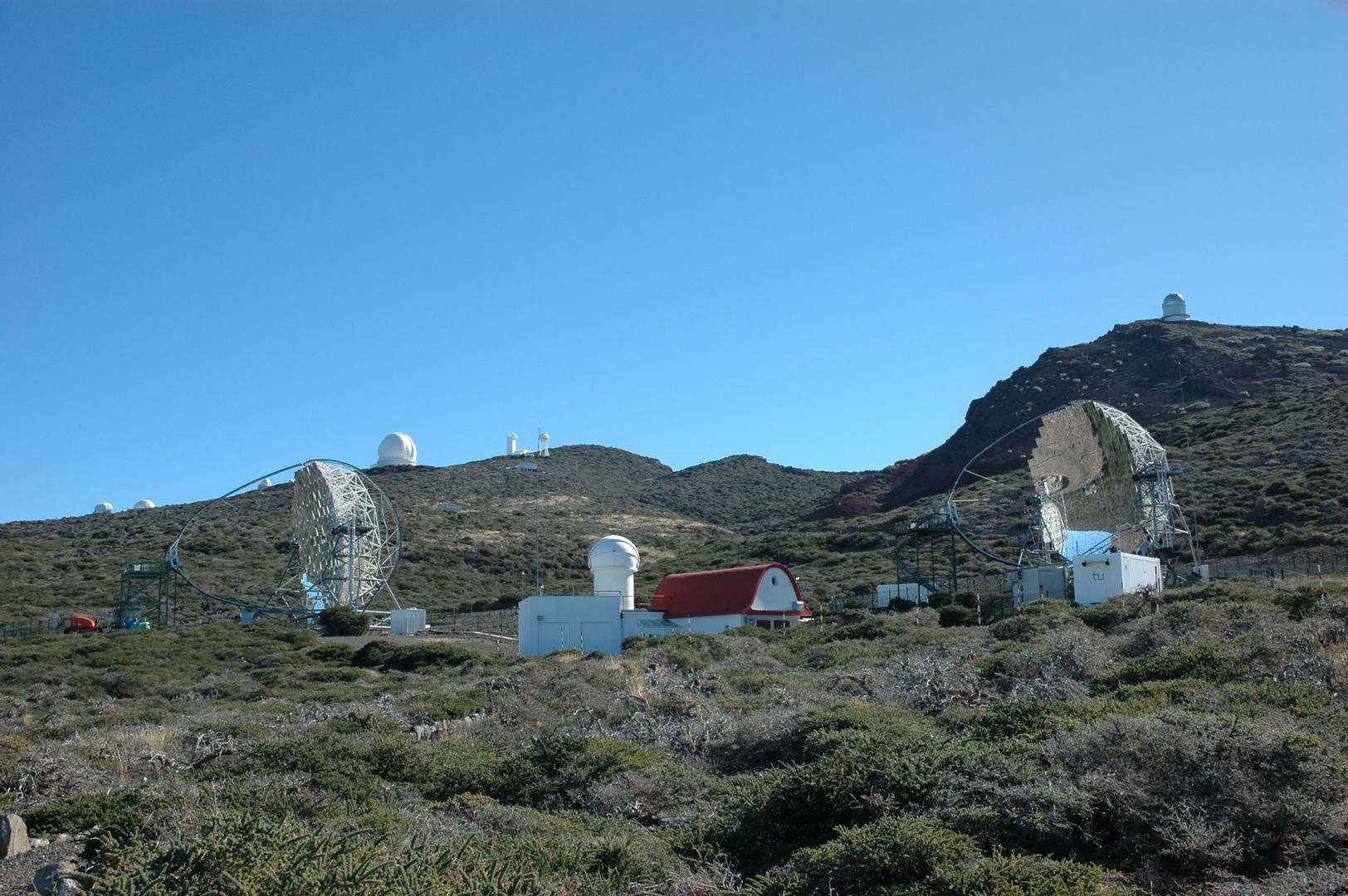 Caldera Ridge :: the astronomic observatories by Roque de los Muchachos
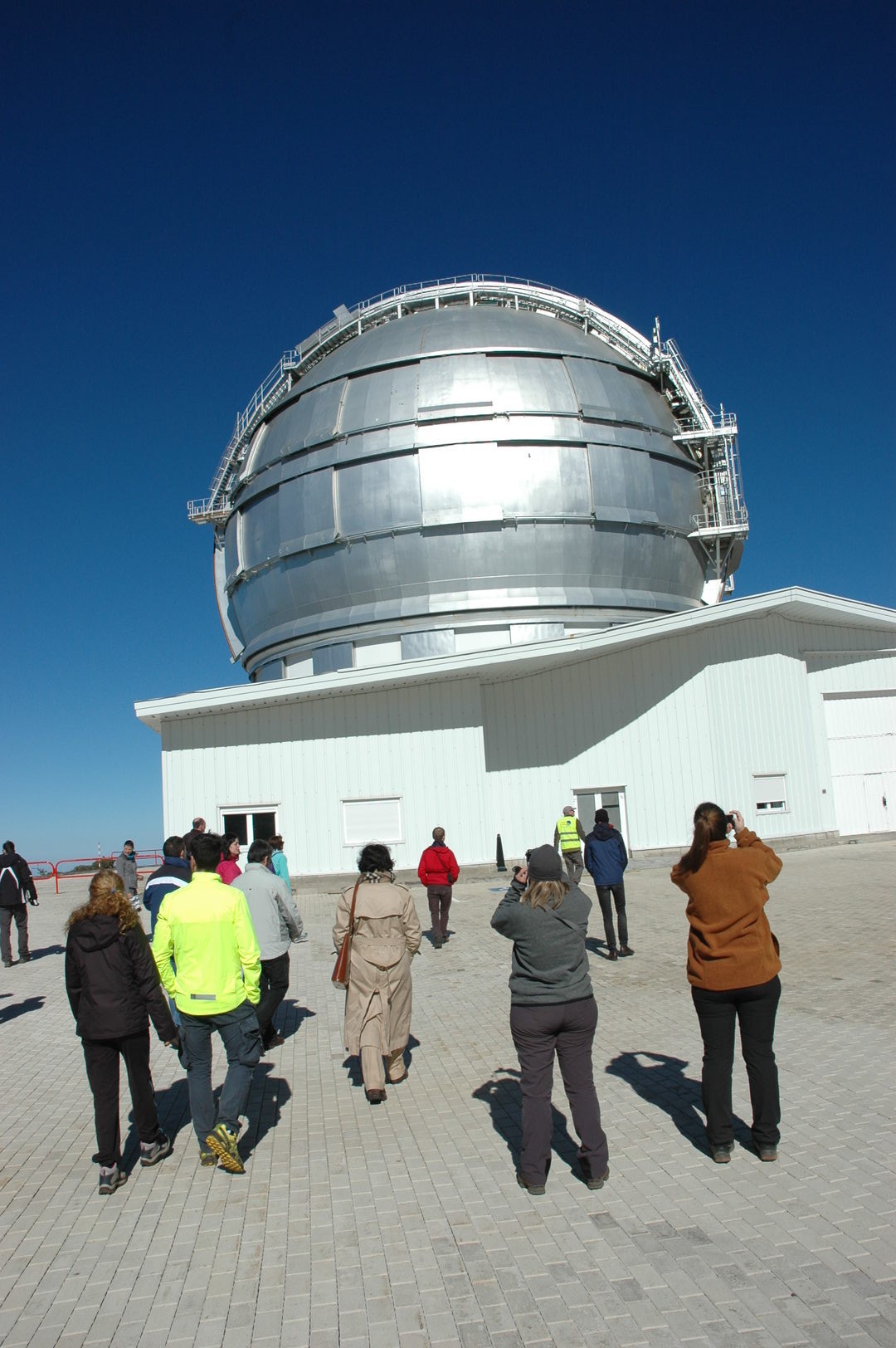 Caldera Ridge :: Gran Telescopio Canarias
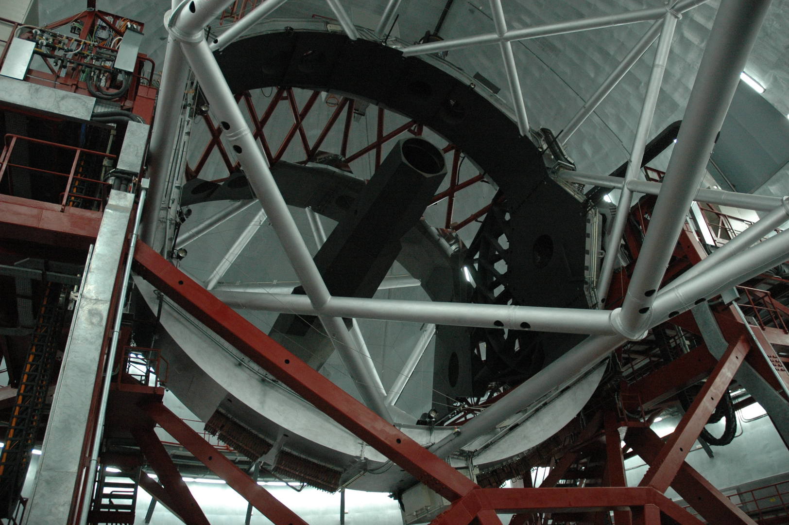 Caldera Ridge :: Gran Telescopio Canarias
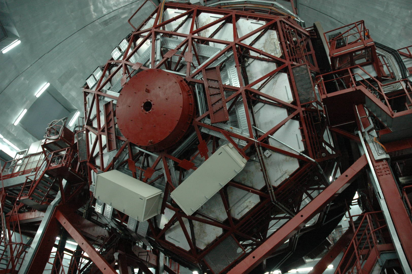 Caldera Ridge :: Gran Telescopio Canarias
 Caldera Ridge :: a prototype for the Cherenkov Telescope Array
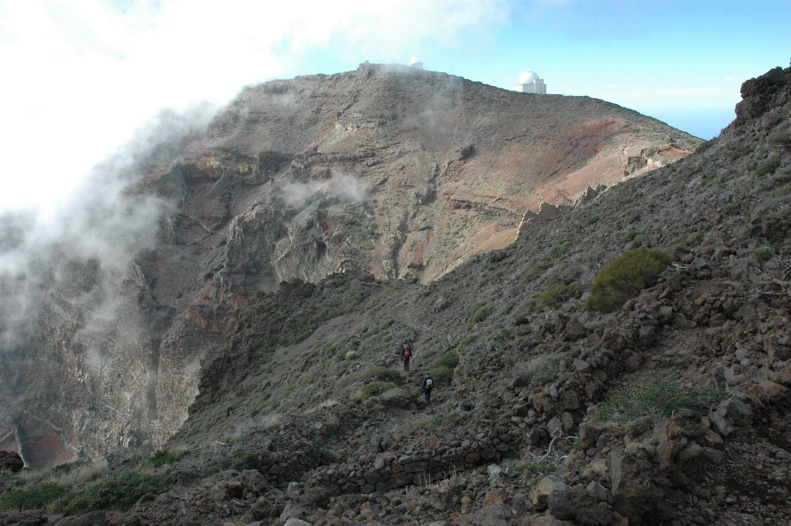 Caldera Ridge :: the ridge trail from Los Andenes towards Roque de los Muchachos
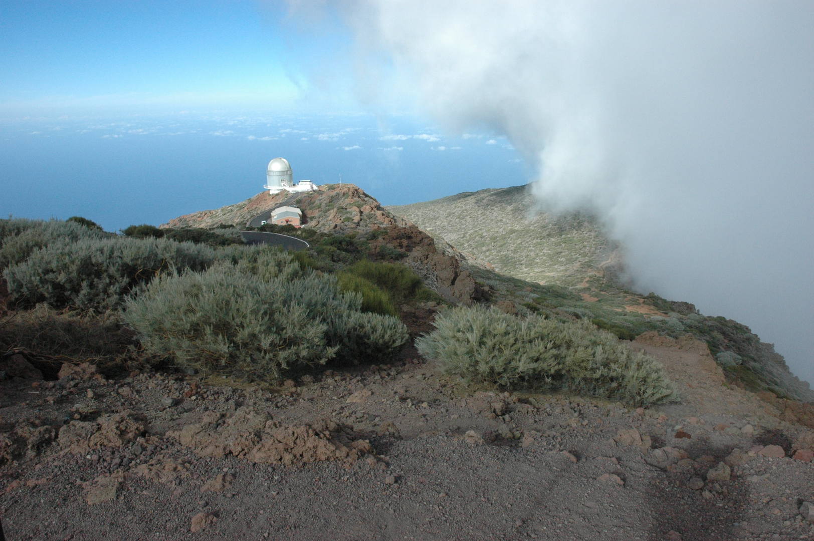 Caldera Ridge :: by Cruz del Fraile
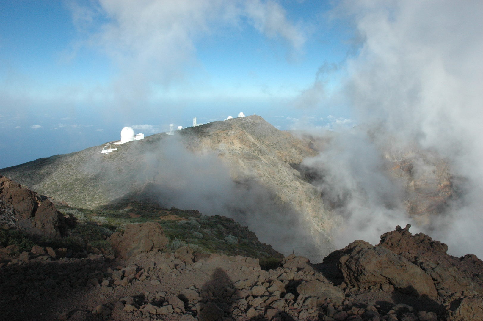 Caldera Ridge :: Roque de los Muchachos :: looking towards Fuente Nueva
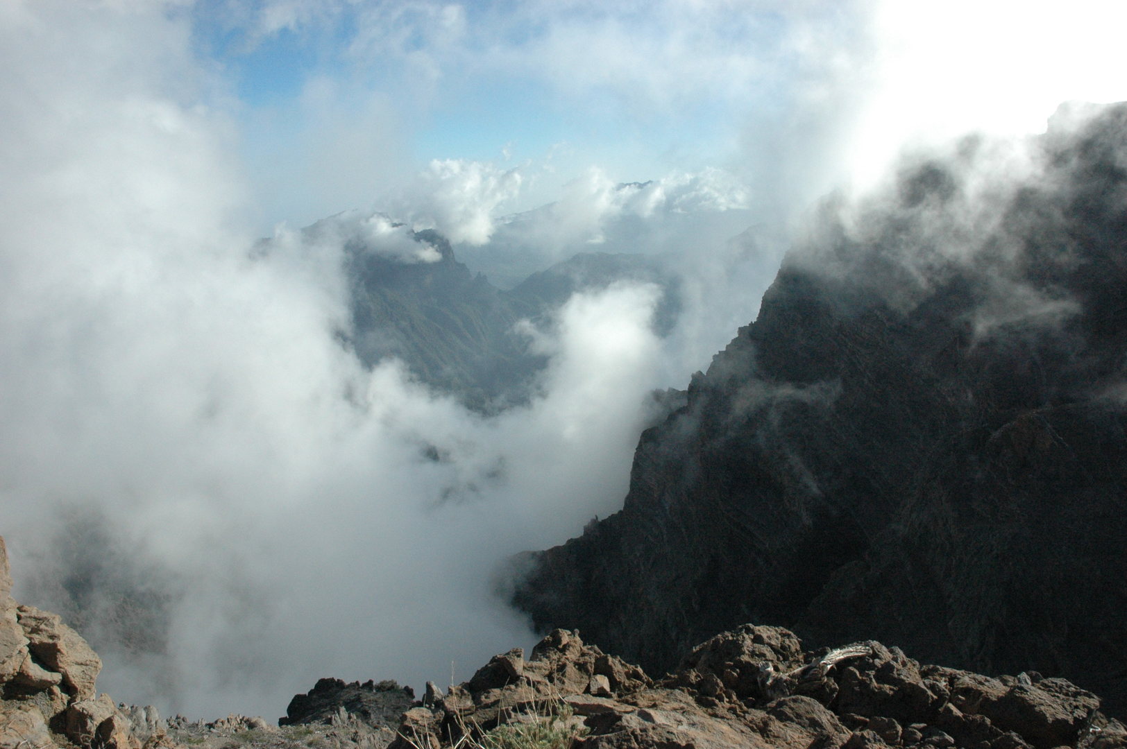 Caldera Ridge :: by Fuente Nueva :: clouds get thinner in the caldera
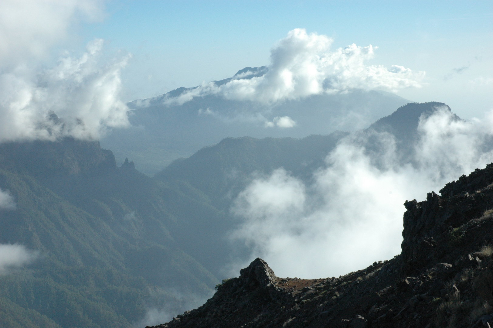 Caldera Ridge :: by Fuente Nueva :: Cumbrecita, Pico Bejenado, Cumbre Vieja behind
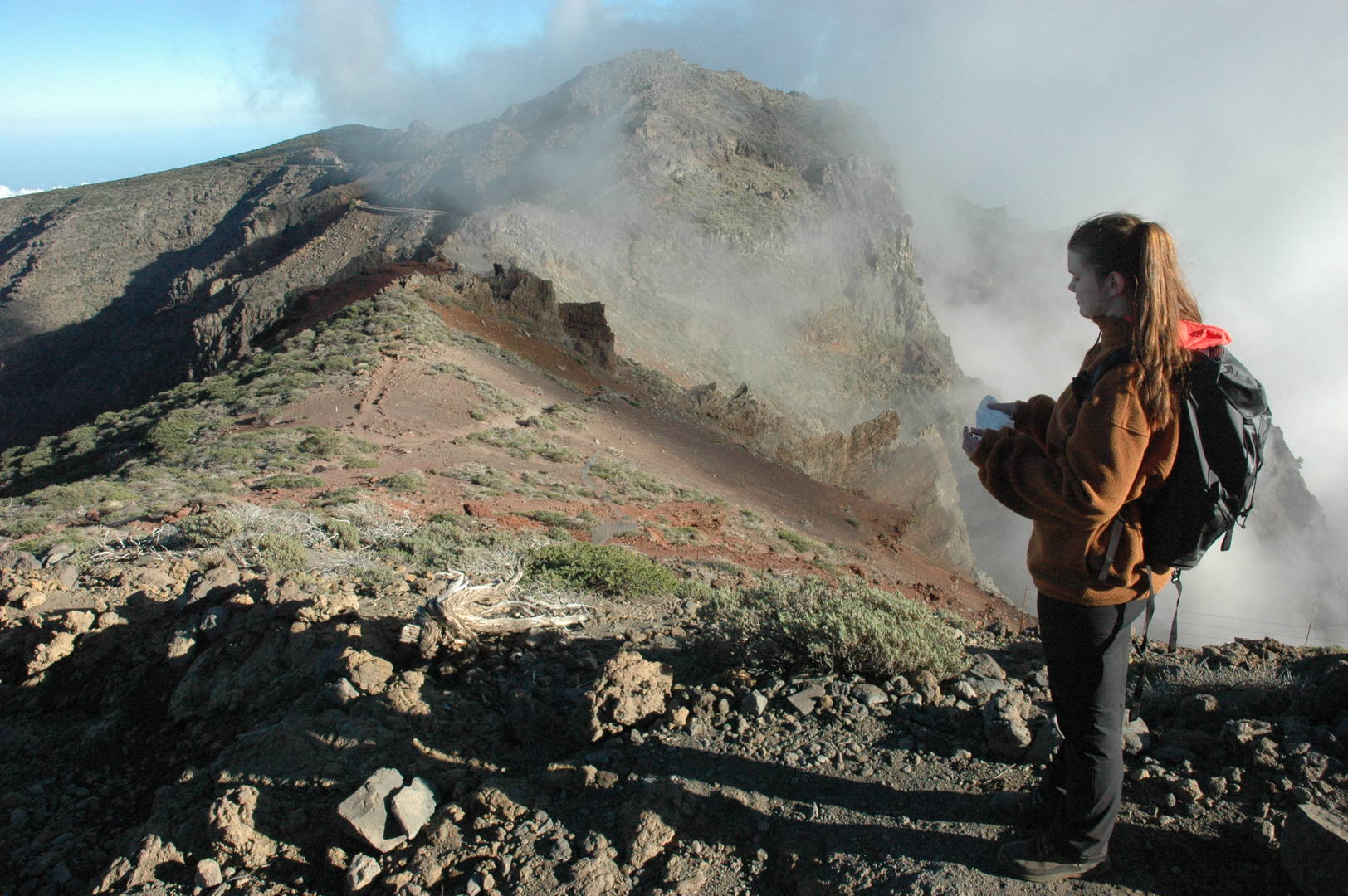 Caldera Ridge :: on the trail from Roque de los Muchachos back to Los Andenes
 Caldera Ridge :: nearby Los Andenes :: looking towards Roque de los Muchachos
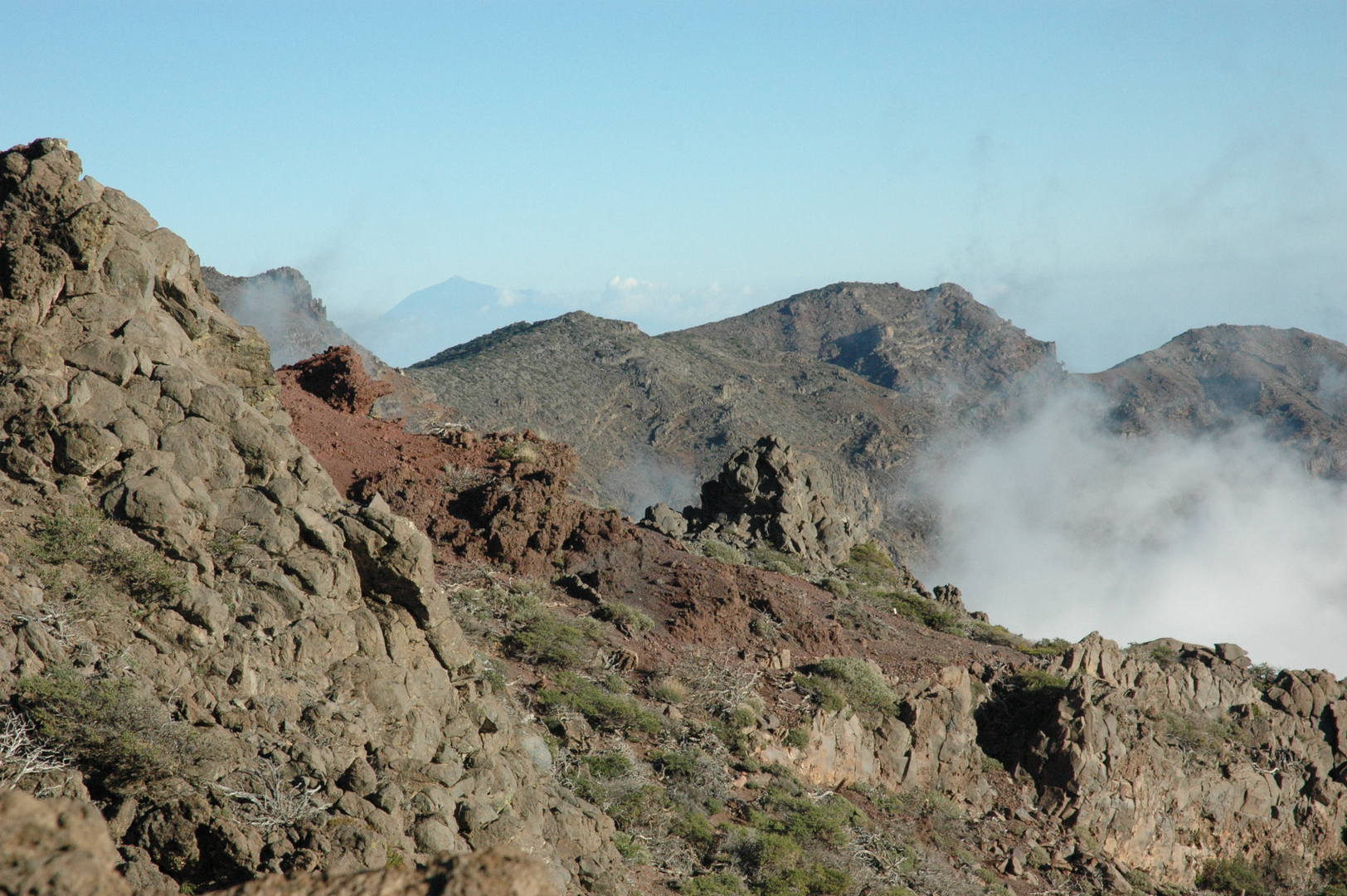 Caldera Ridge :: nearby Los Andenes :: zoomed Pico de las Nieves and surroundings, Tenerife behind
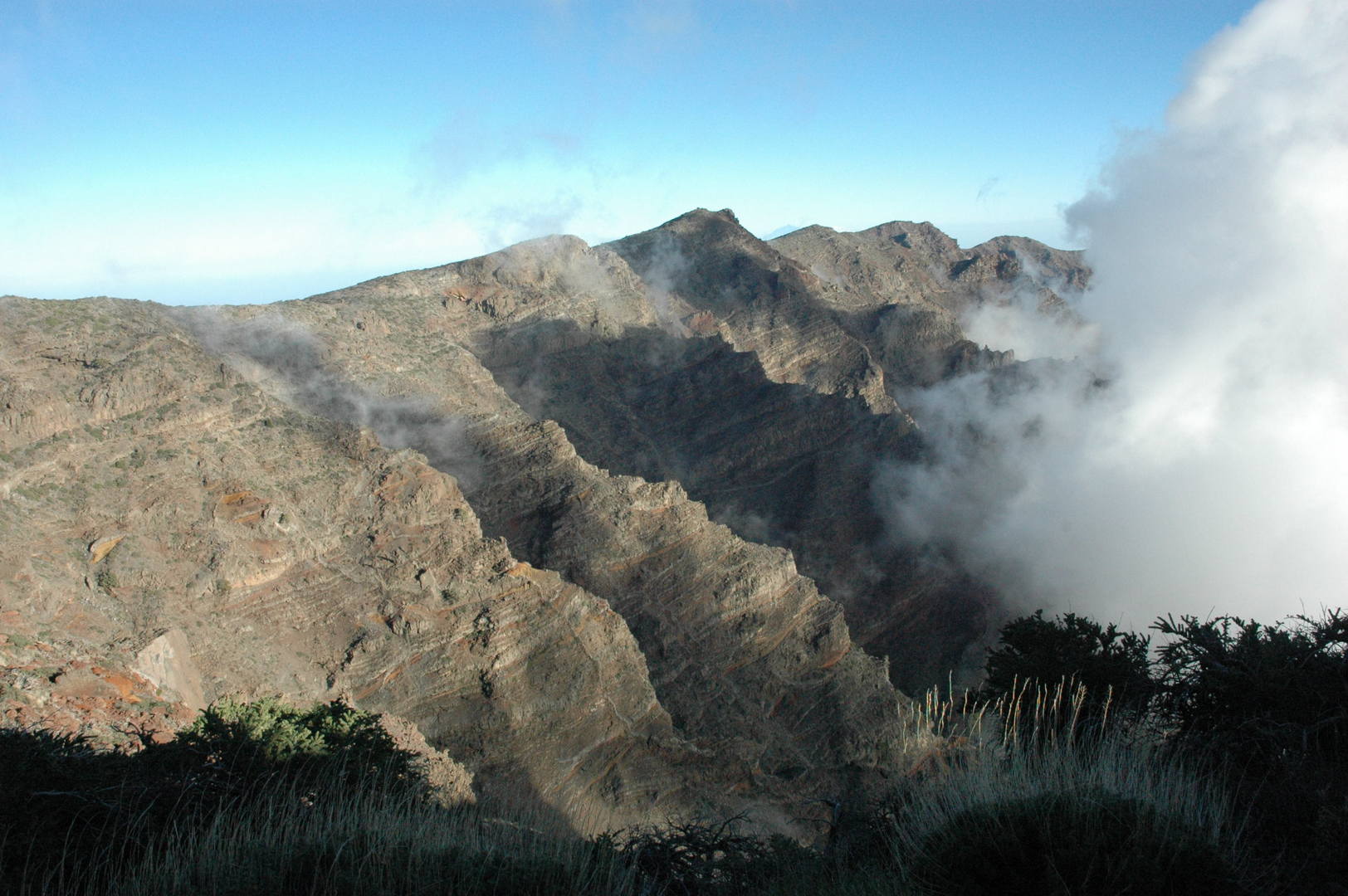 Caldera Ridge :: by Los Andenes :: eastern Caldera ridge
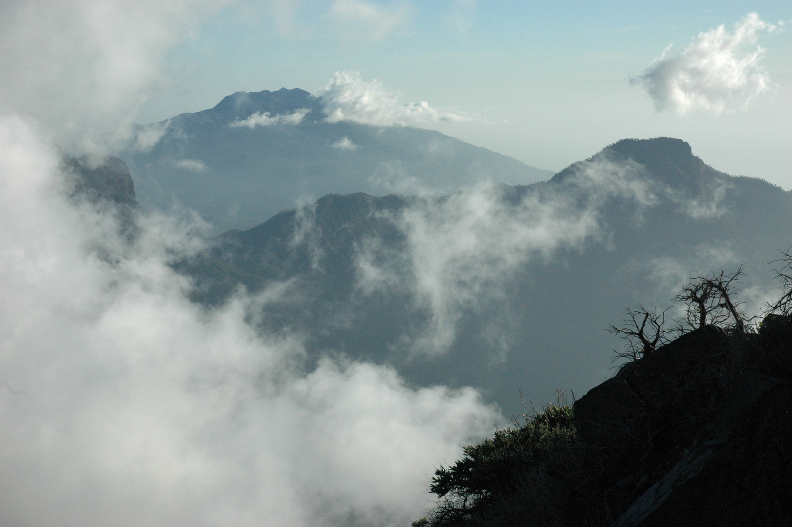 Caldera Ridge :: by Los Andenes :: clouds over the caldera :: far Cumbre Vieja, near Pico Bejenado
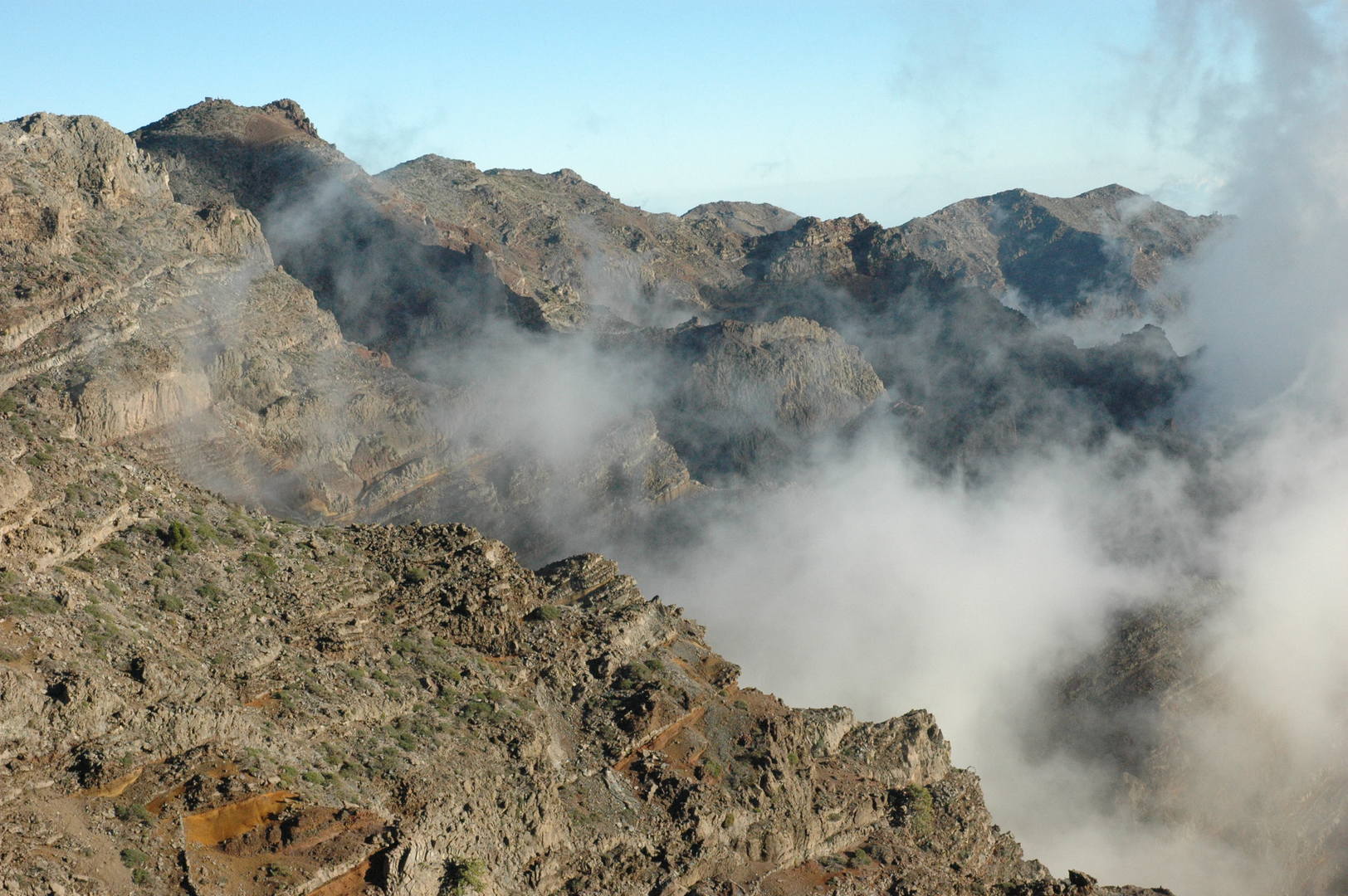 Caldera Ridge :: Los Andenes, eastern Caldera ridge
 By Las Tricias :: almonds blossoming early
 Los Llanos :: preparing the Christmas Eve meal
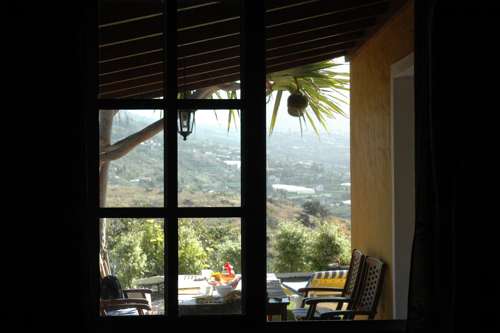 Los Llanos :: Christmas moods
 Los Llanos :: the Calima fog appears, the fine Sahara dust
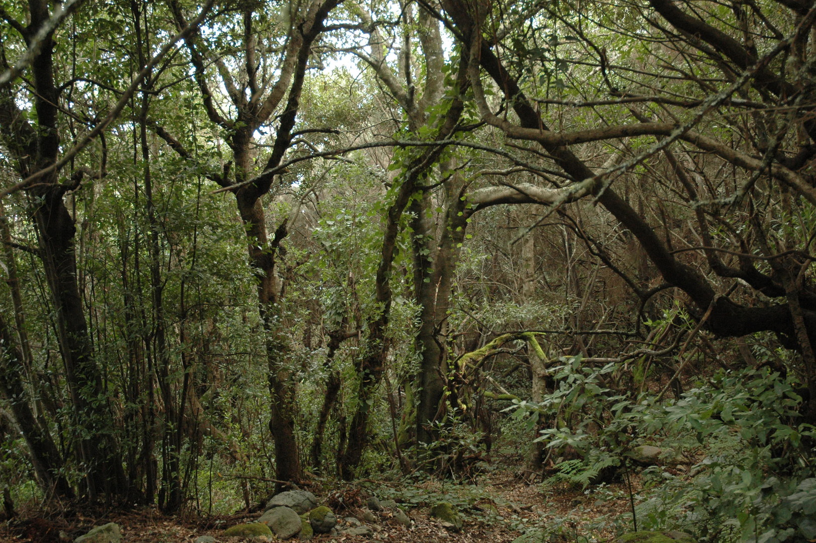 By Barranco Fagundo :: the forest by Cruz del Gallo
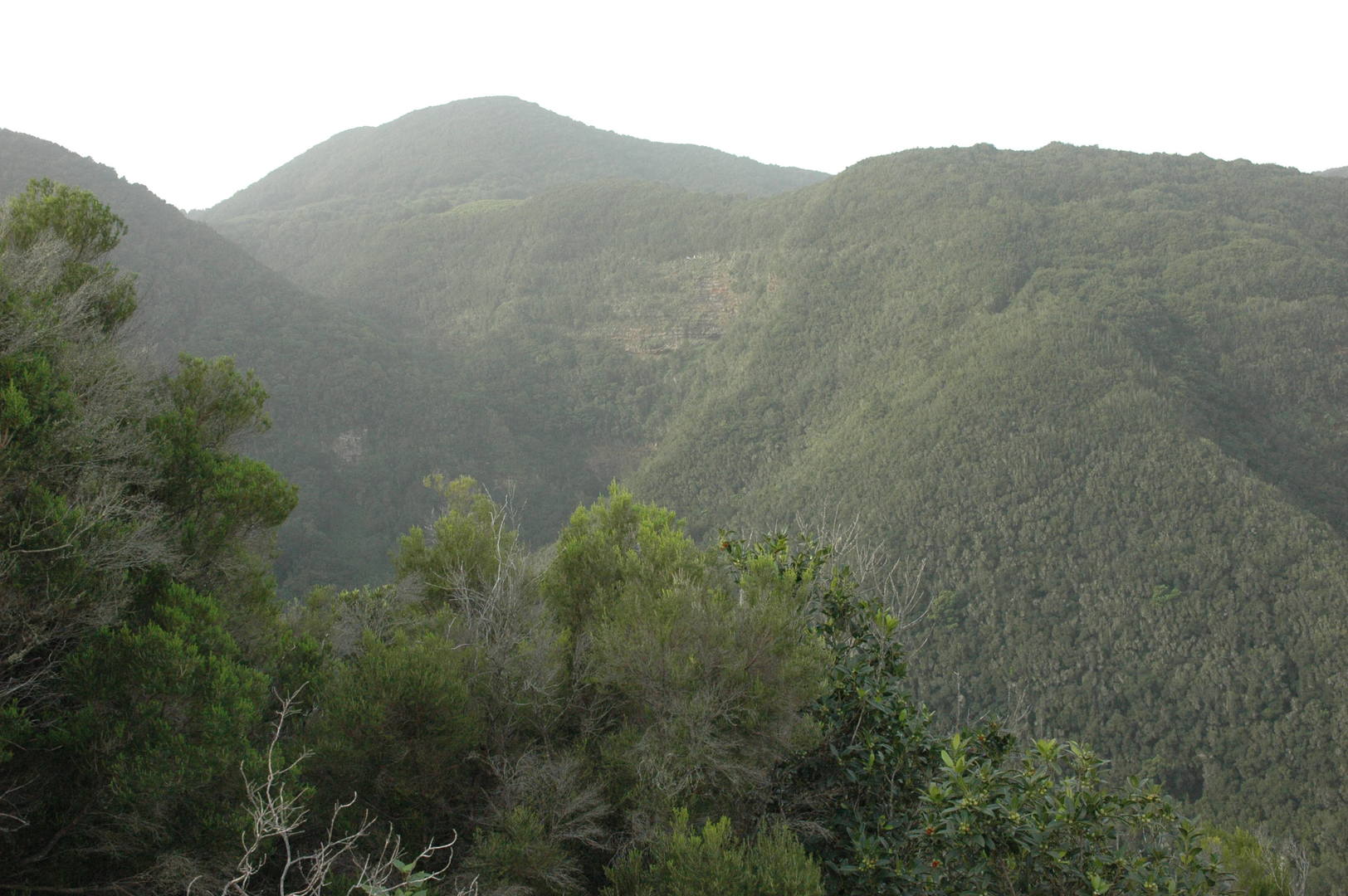 By Barranco Fagundo :: Barranco de Valle
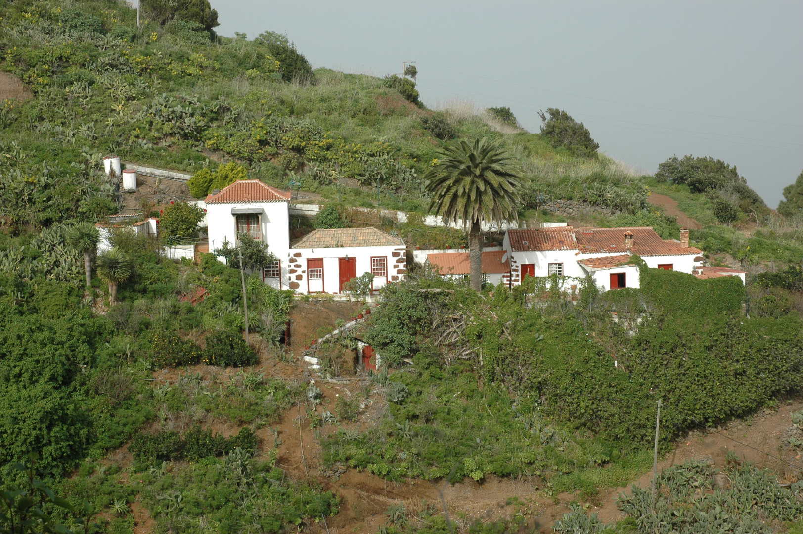 By Barranco Fagundo :: Don Pedro village
 By Barranco Fagundo :: a houseyard drago tree
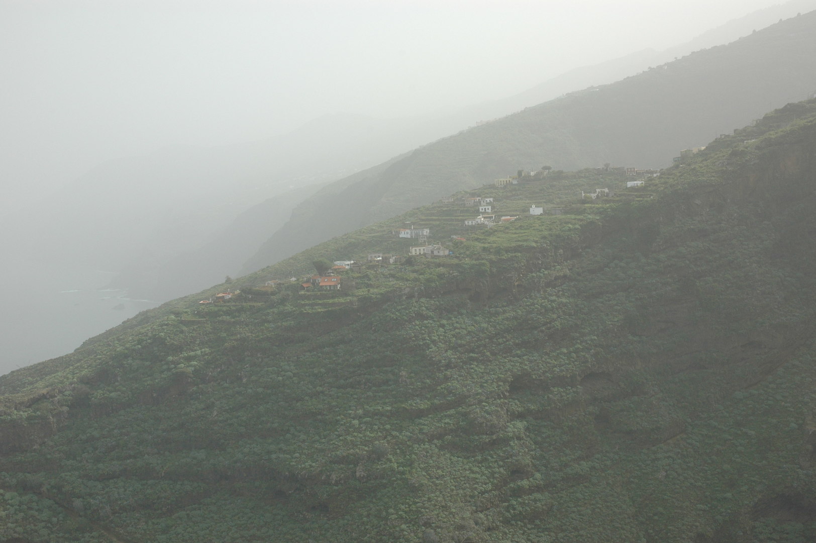 By Barranco Fagundo :: Mirador de la Cabezada :: El Tablado barely seen in the Calima dust haze
 By Barranco Fagundo :: Mirador de la Cabezada :: looking up the barranco
 By Barranco Fagundo :: Mirador de la Cabezada :: nearer sights
 By Barranco Fagundo :: Mirador de la Cabezada
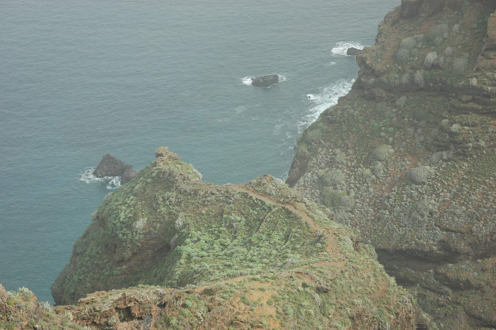 By Barranco Fagundo :: Mirador de la Cabezada :: looking down in the haze to the barranco outlet
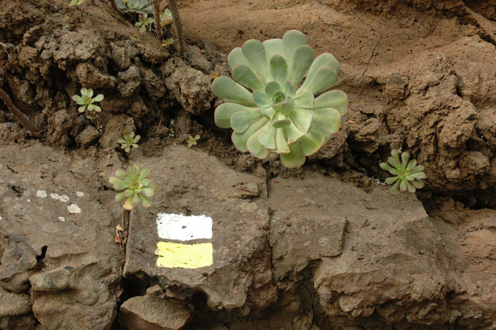 By Barranco Fagundo :: marked trail along the barranco edge
 By Barranco Fagundo :: approaching Cruz del Gallo
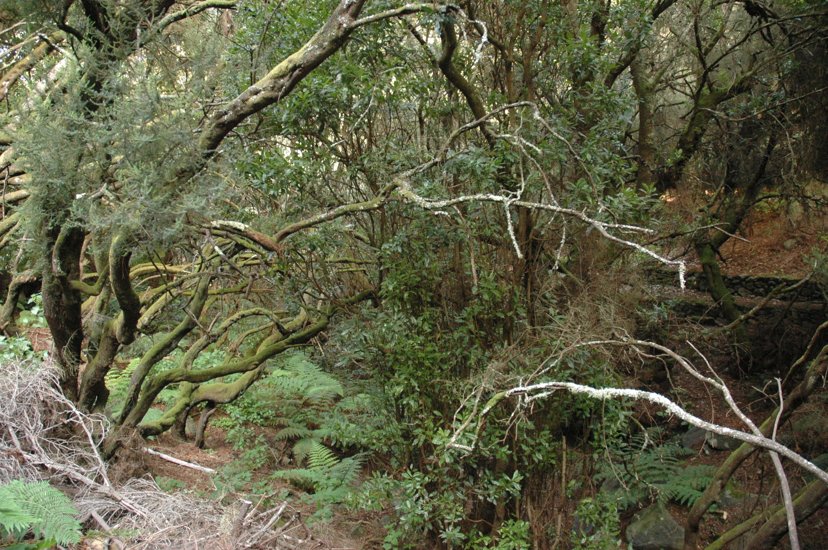 By Barranco Fagundo :: La Zarza :: forrested barrancos with Guanche archeologic sites
 By Barranco Fagundo :: La Zarza :: a Guanche house cave with carvings
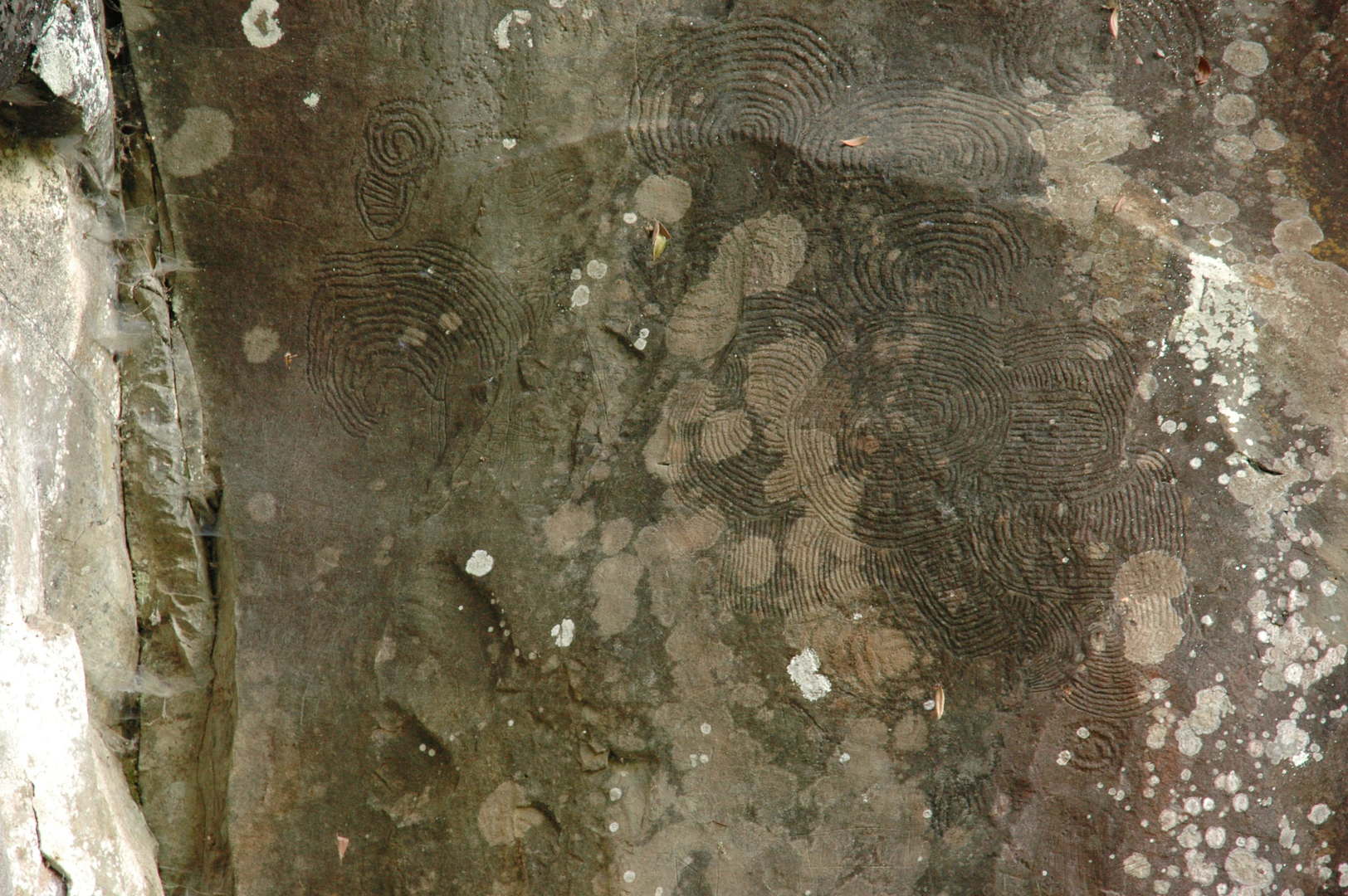 By Barranco Fagundo :: La Zarza :: Guanche rock carvings
 By Barranco Fagundo :: La Zarza :: a Guanche spiral rock carving
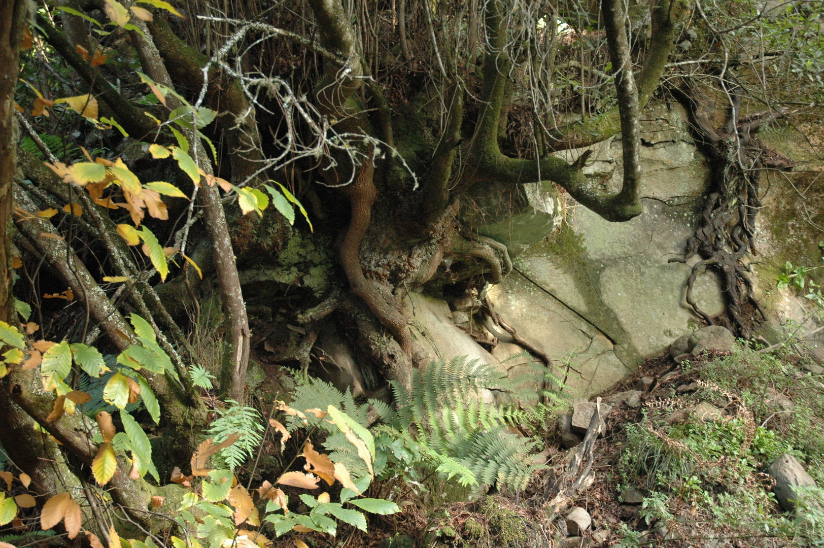 By Barranco Fagundo :: in La Zarza
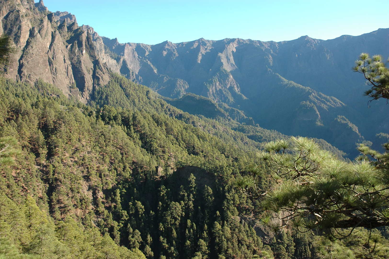 Caldera de Taburiente :: Mirador de los Brecitos
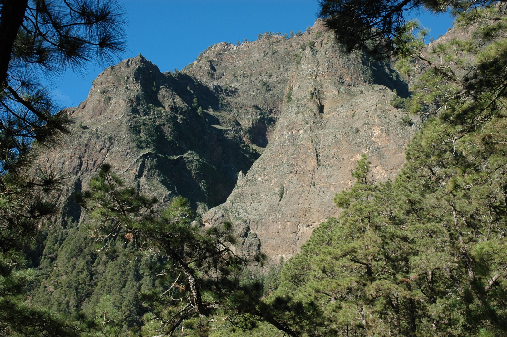 Caldera de Taburiente :: behind Los Brecitos :: looking up the caldera ridge
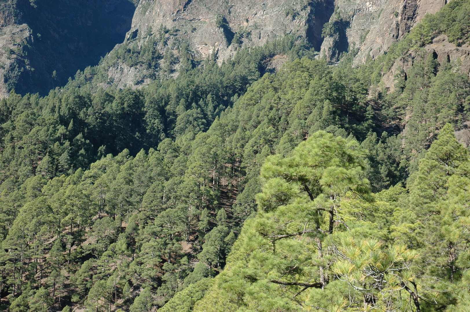 Caldera de Taburiente :: behind Los Brecitos :: the pine forest
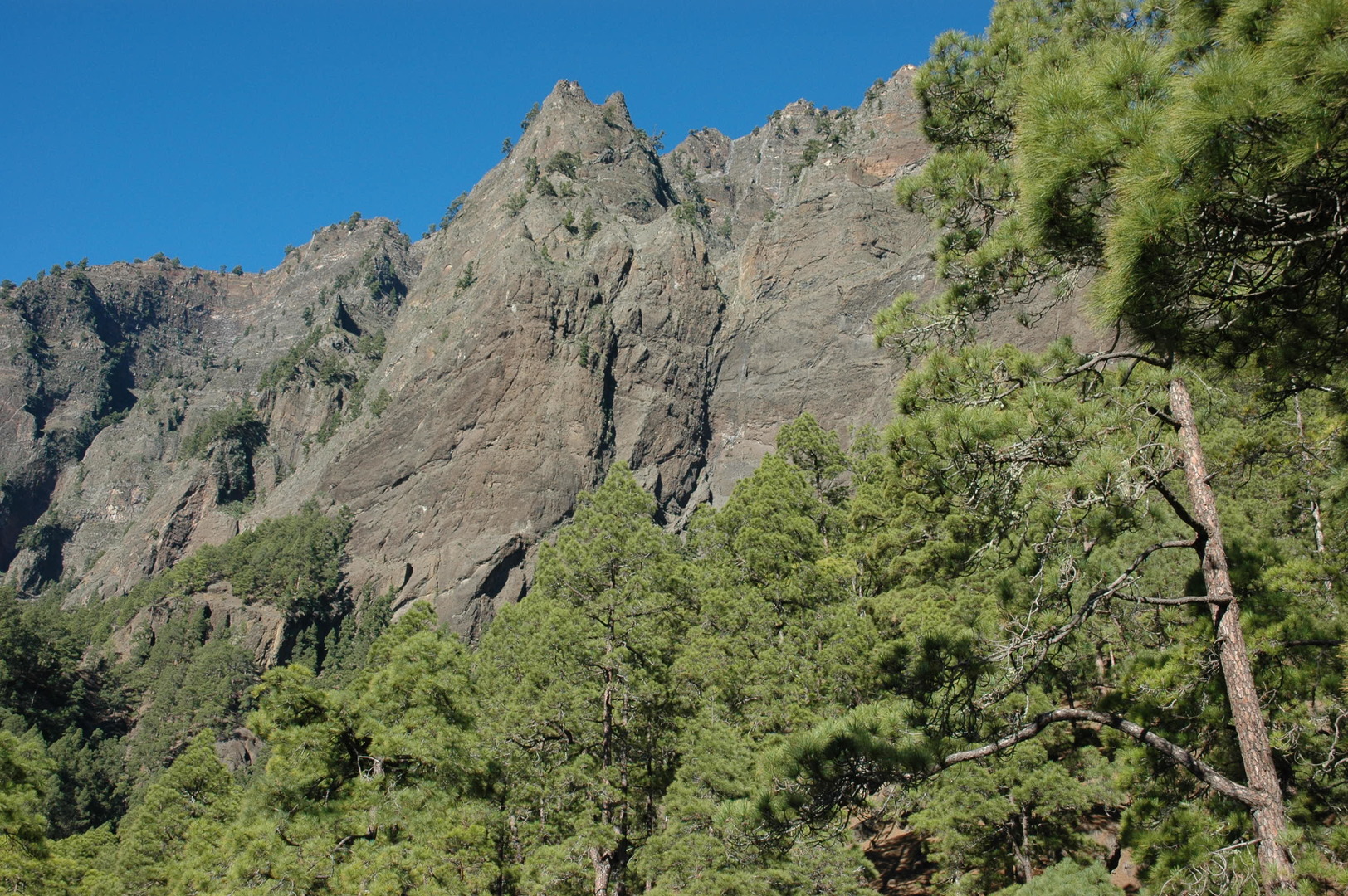 Caldera de Taburiente :: behind Los Brecitos :: looking up the caldera ridge
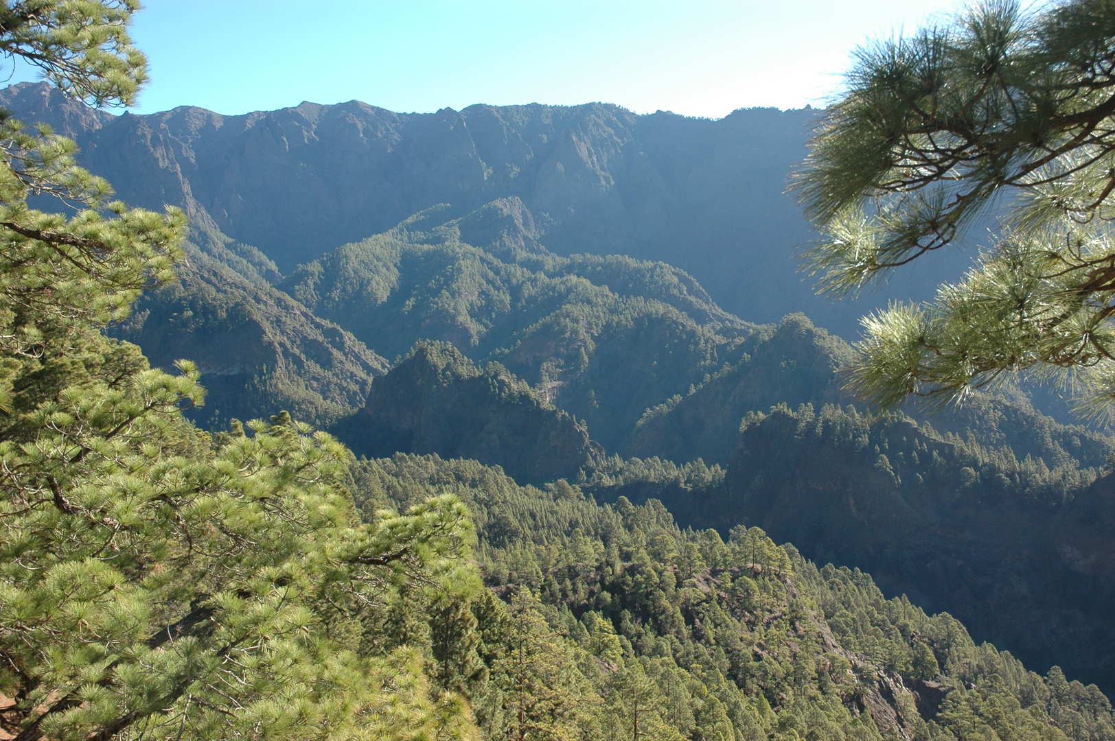 Caldera de Taburiente :: Lomo de Tagasaste :: the complicated caldera interior
 Caldera de Taburiente :: approaching Playa de Taburiente
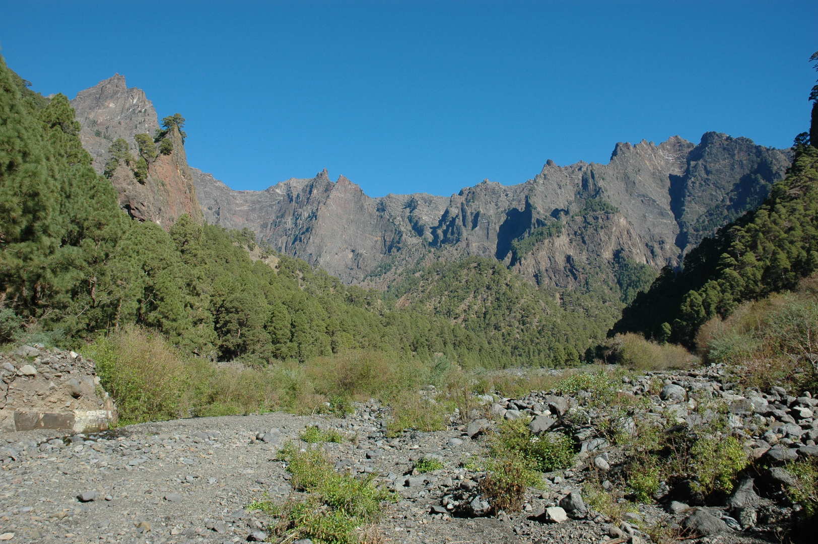 Caldera de Taburiente :: Playa de Taburiente
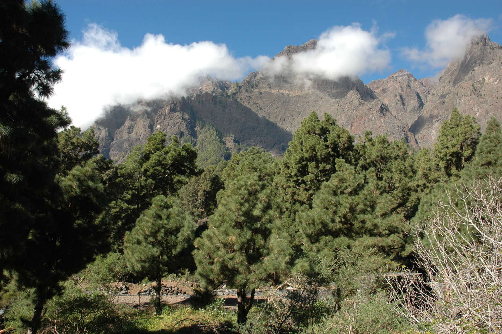 Caldera de Taburiente :: south of Playa de Taburienzte :: first clouds appear on the caldera ridge
 Caldera de Taburiente :: massive cactii before Somada de El Palo
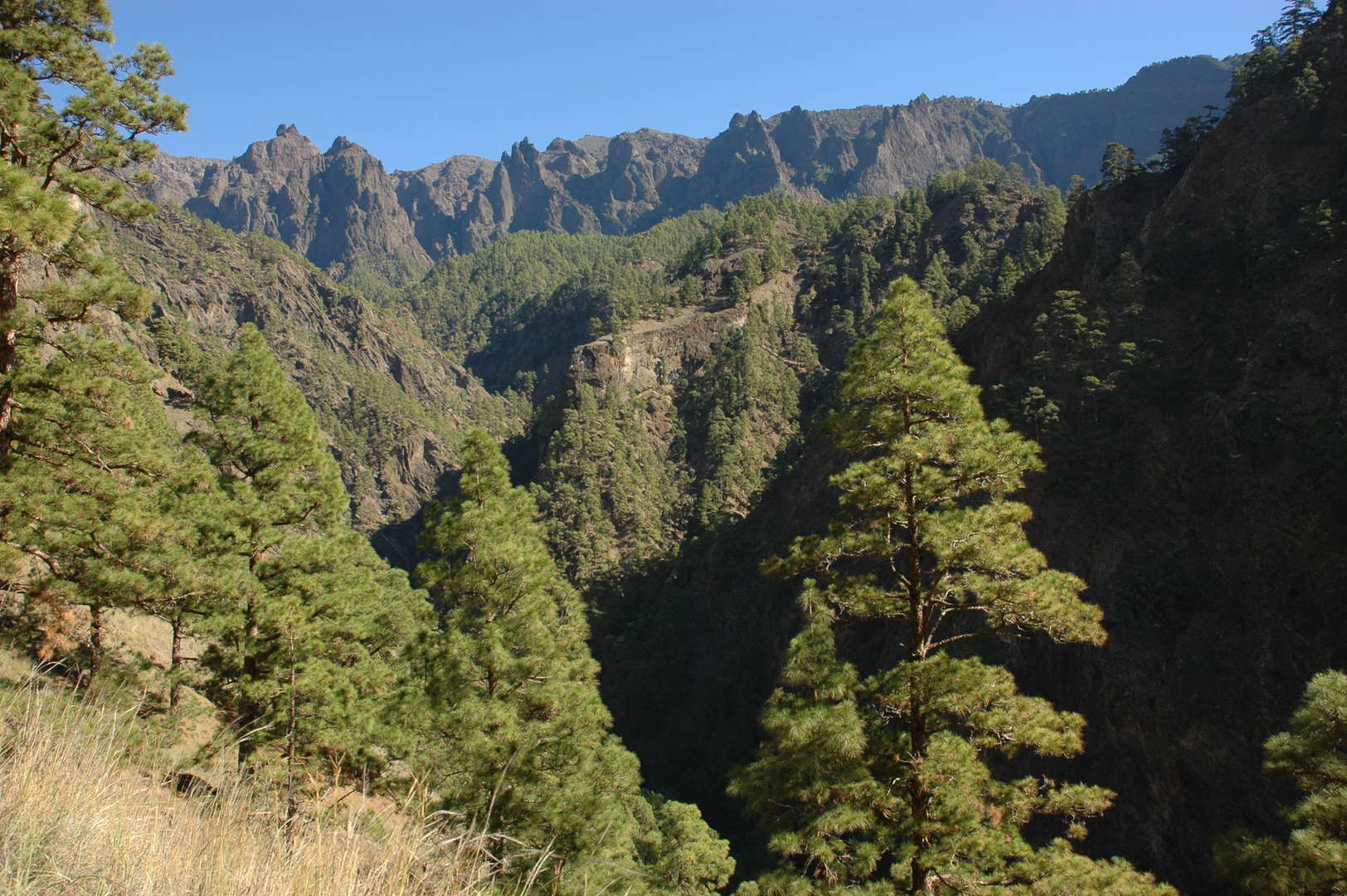 Caldera de Taburiente :: just behind Somada de El Palo
 Caldera de Taburiente :: on the level of the Idafe rock
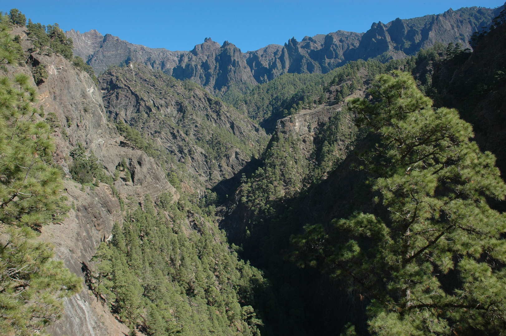 Caldera de Taburiente :: looking back on the steep trail from Somada de El Palo to Dos Aguas
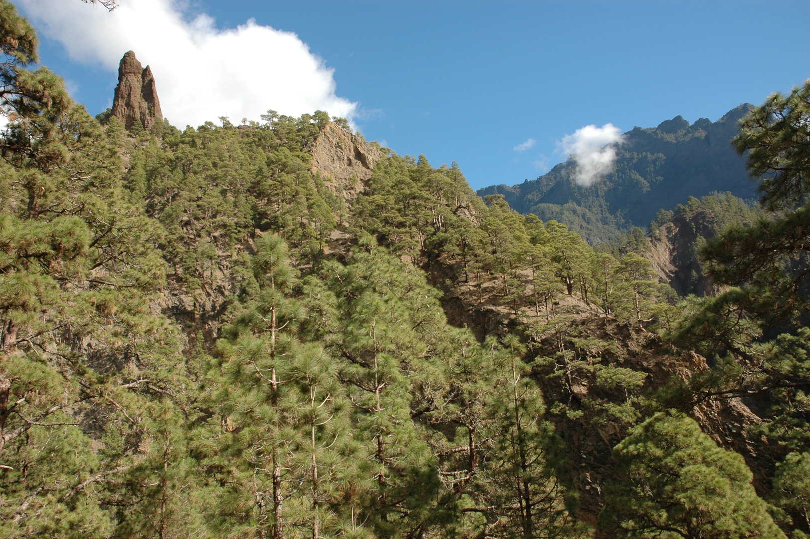 Caldera de Taburiente :: below the Idafe rock
 Caldera de Taburiente :: approaching Dos Aguas
 Caldera de Taburiente :: following the yellow stream
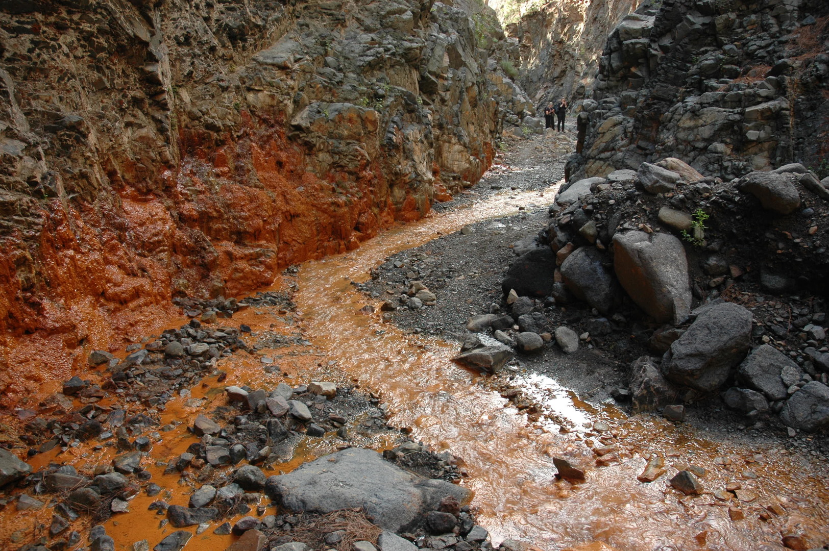 Caldera de Taburiente :: following the yellow stream
 Caldera de Taburiente :: Cascada de Colores
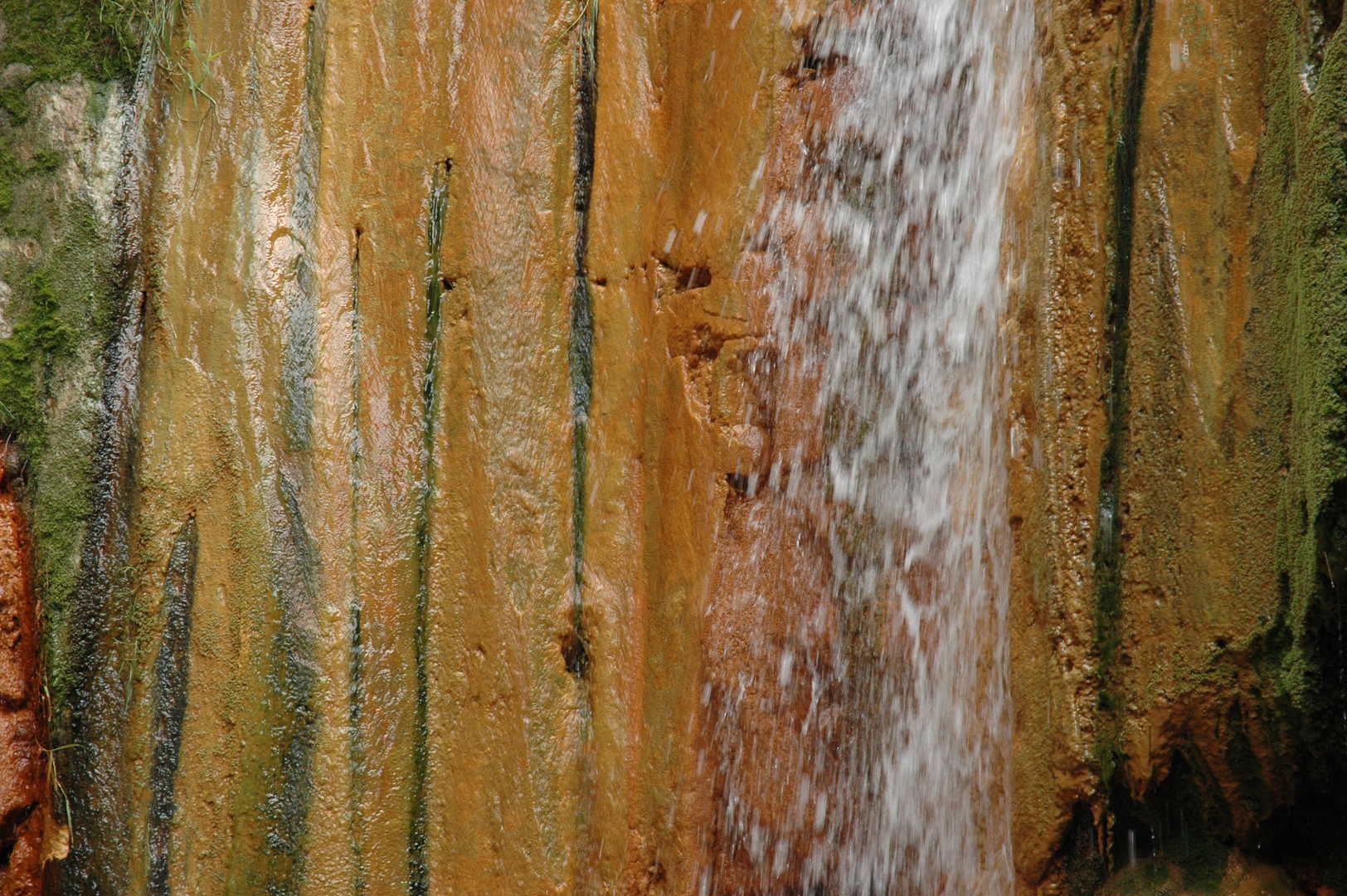 Caldera de Taburiente :: Cascada de Colores
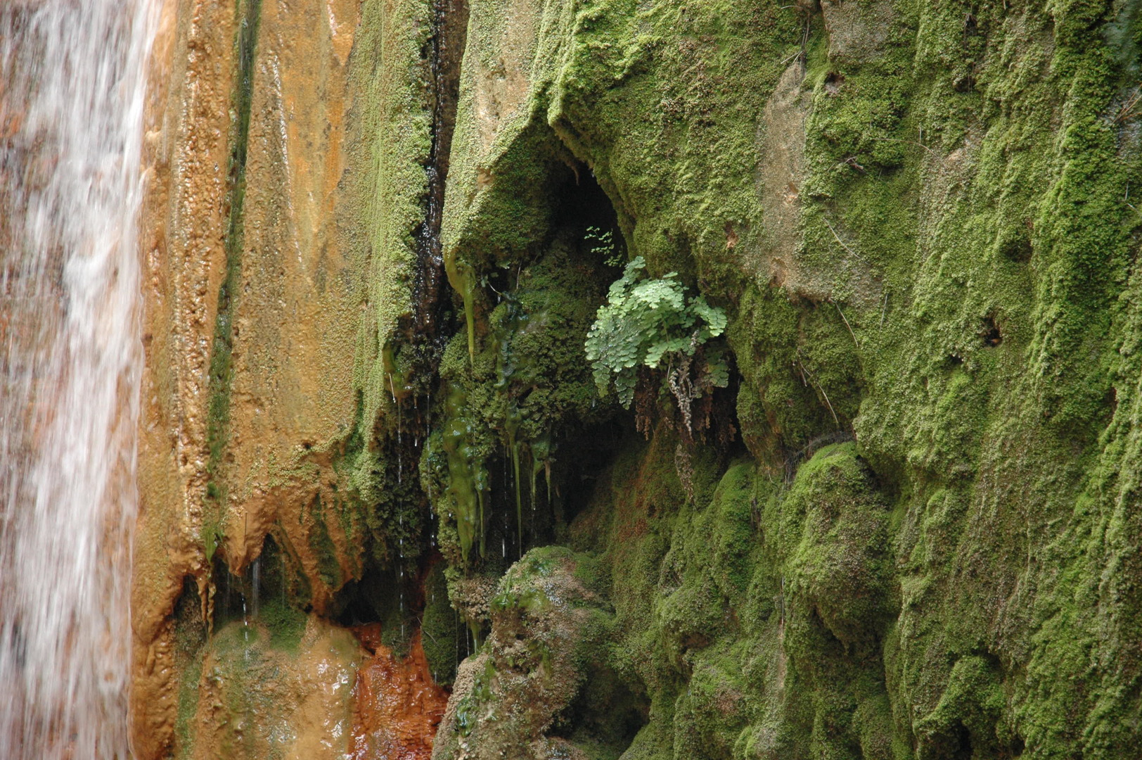 Caldera de Taburiente :: Cascada de Colores
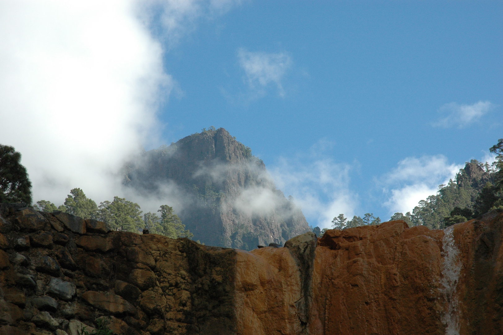 Caldera de Taburiente :: Cascada de Colores :: Punta de los Roques above the cascade
 Caldera de Taburiente :: in the Barranco de las Angustias
 Caldera de Taburiente :: in the Barranco de las Angustias
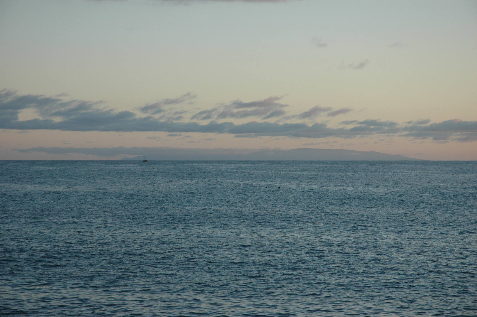 Puerto Tazacore :: El Hierro on the horizon of larger pictures
 - Gallery La Palma on pastvoyages.jankowski.org