Just three backpacks. An extraordinarily rewarding, long and hard trek around the Manaslu Himal with crossing of Larkya La as the key of the route. Simply beautiful, the very essence of a Himalayan trek in Nepal. The contrast of joining for the last walking days the overcrowded trail around Annapurnas could not be larger… However, two soothing days in beautiful Bandipur brought us back to the balance. October/November 2009.
The route was (night stays only, main [highs/lows]): Jeep from Kathmandu — Arughat 608 — Soti Khola ~700 — by Khanibesi ~850 — Tatopani 990 — Jagat 1340 — Ekle Bhatti ~1600 — Bihi Phedi 1990 — Ghap ~2250 — Lihi 2920 — Lho 3180 — Samagaon 3520 [side trip Pungyen Gompa ~4100] — Samdo 3875 [side trip Samdo Ri 5177] — Larkya Phedi 4460 — [Larkya La 5160] — Pheriche/Tauboche ~4450 — Bhimtang 3590 — Gho(wa) 2560 — Karte 1850 — Chamje 1430 — Bahundanda 1310 — Bhulbhule 840 — bus to Dumre, jeep to Bahandipur, then buses to Kathmandu.
- Gallery Around Manaslu, there is also a direct link to the slideshow: Gallery (383 images)
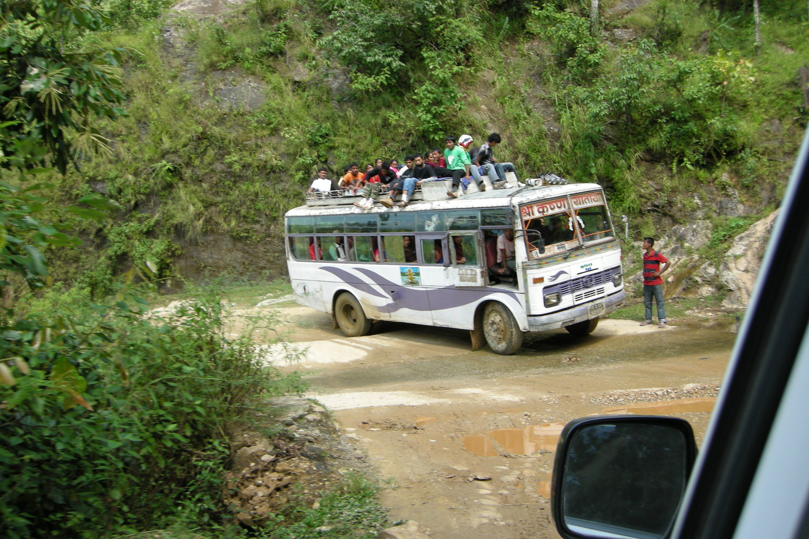 The road to Arughat :: one of these sturdy Tata busses on the dirt road
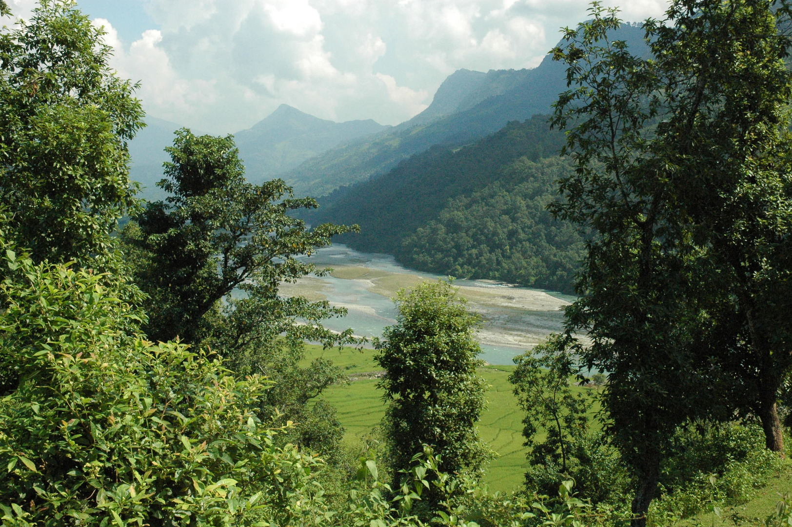 Road to Arughat :: looking back to the Ankhu Khola valley
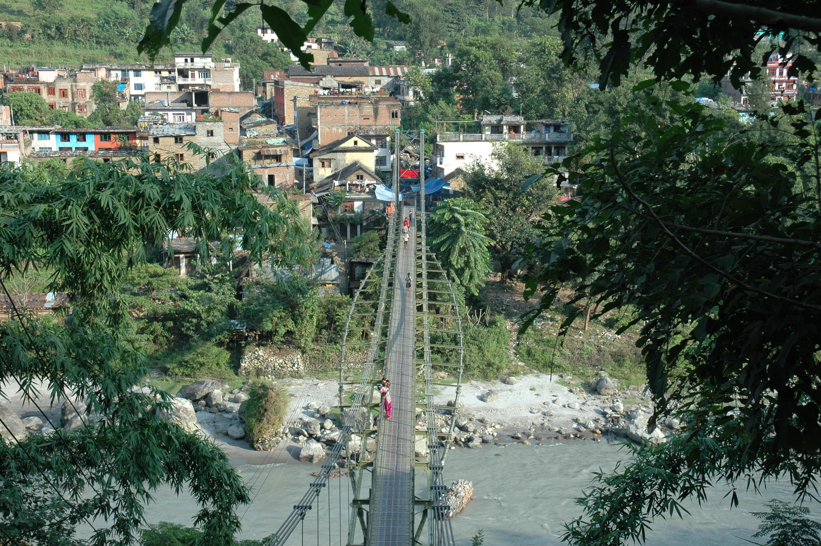 Arughat :: the bridge over Budhi Gandaki
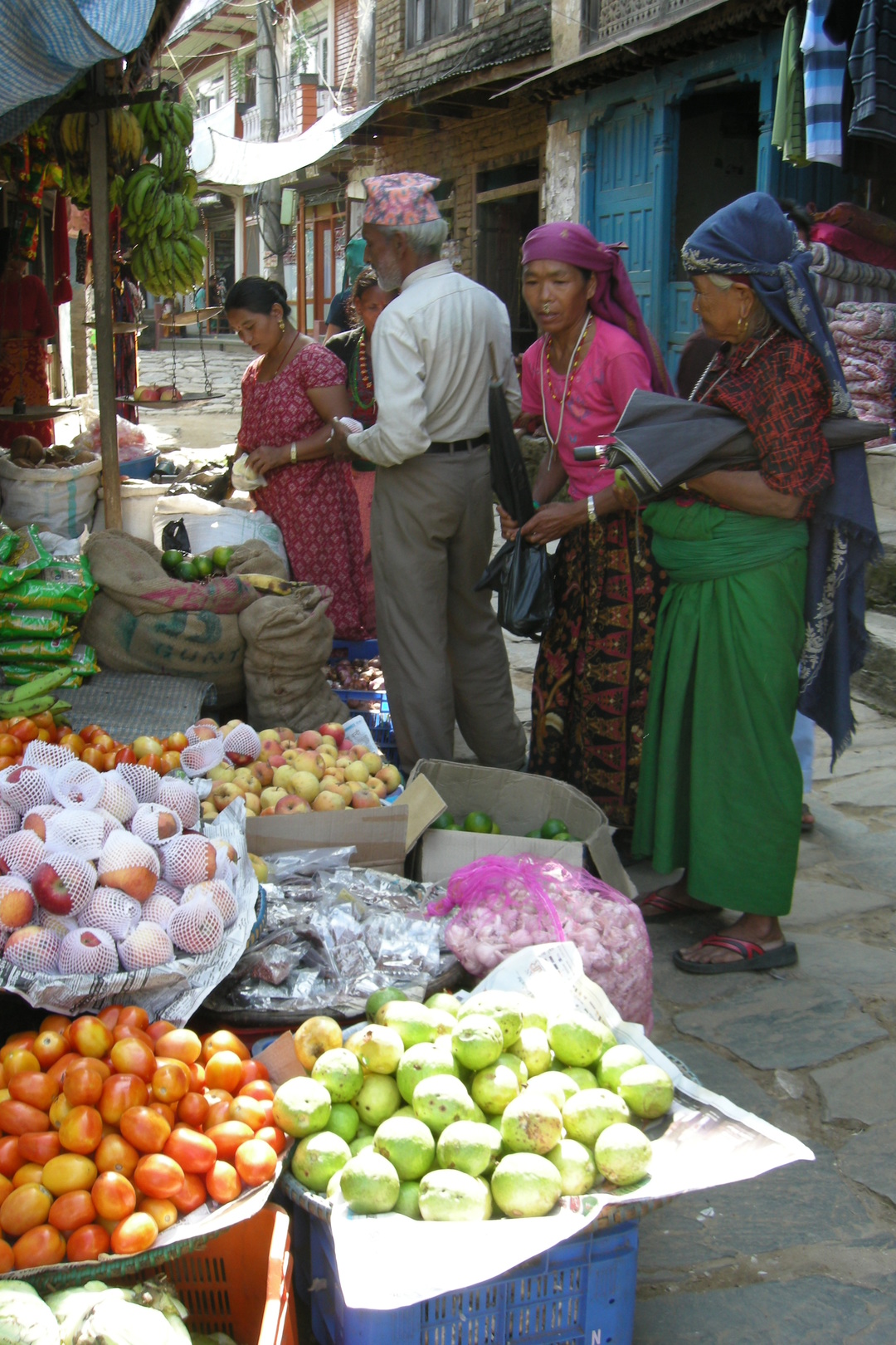 Arughat :: a bazaar scene
 By Mangaltar :: a typical Nepali hills landscape...
 By Mangaltar :: entering the long Budhi Gandaki valley
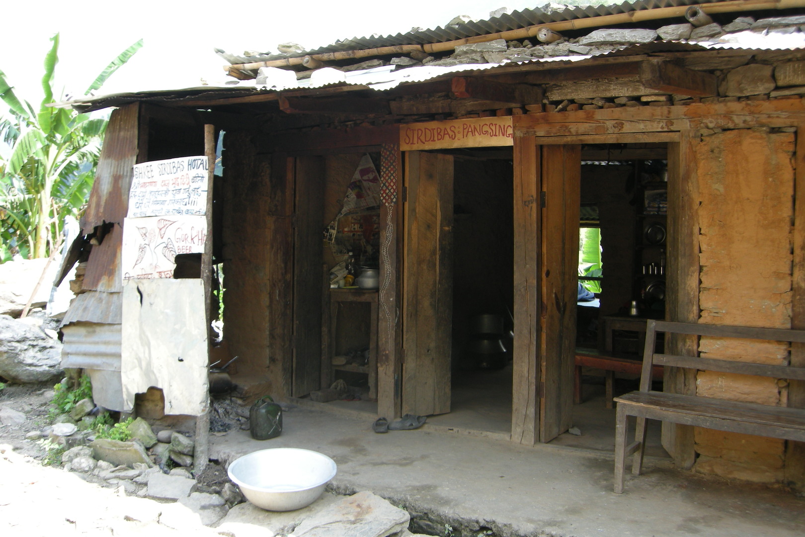 Below Keurenipani :: Shree Sirdibas Hotal :: a bhatti with ambitions
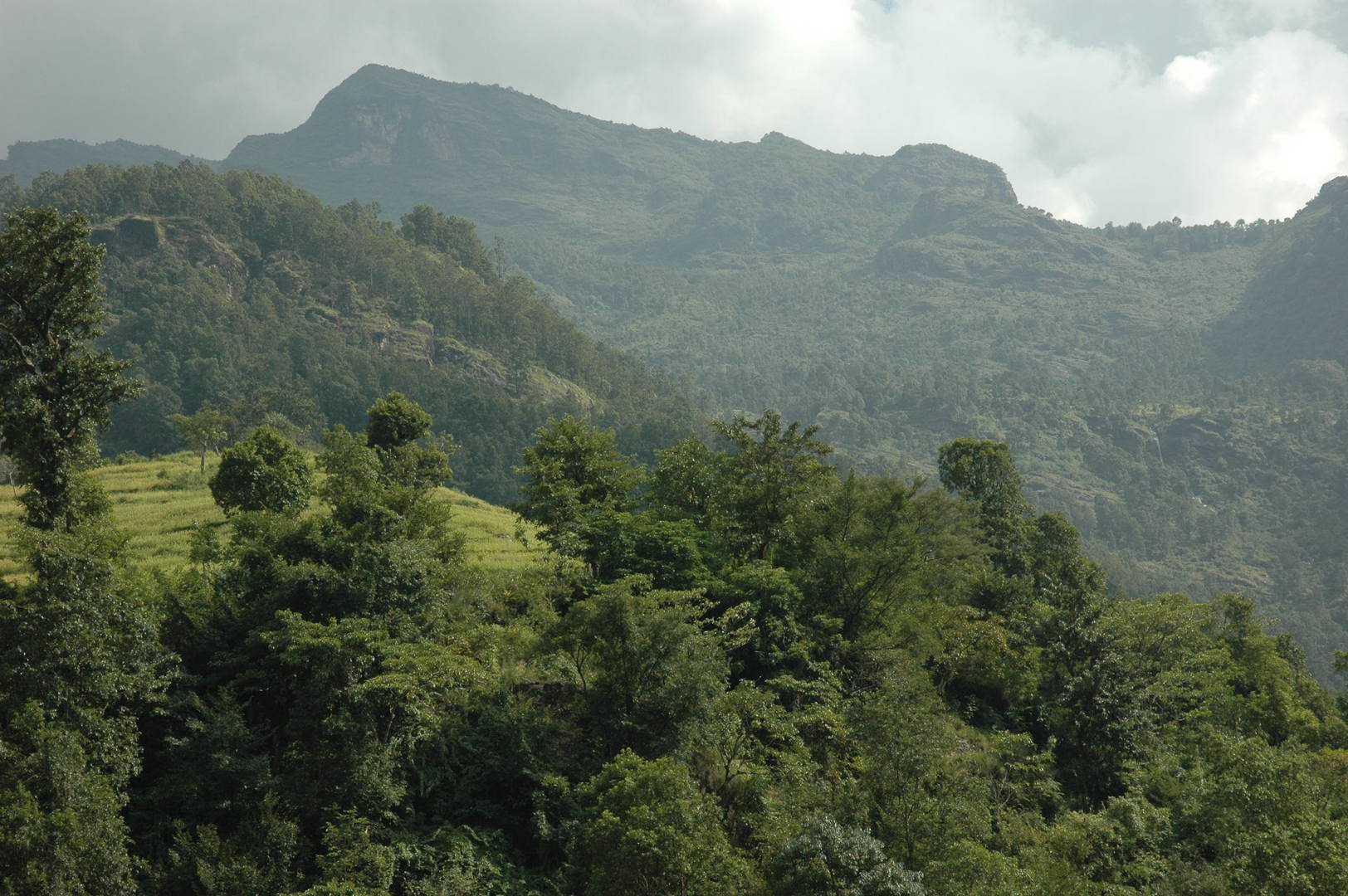 Soti Khola :: a typical Nepali hills landscape...
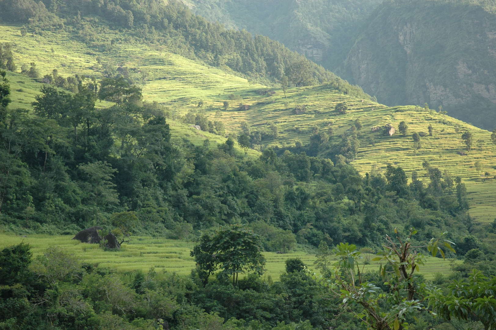 Soti Khola :: fields on the other side of the Budhi Gandaki
 Soti Khola :: harvesting
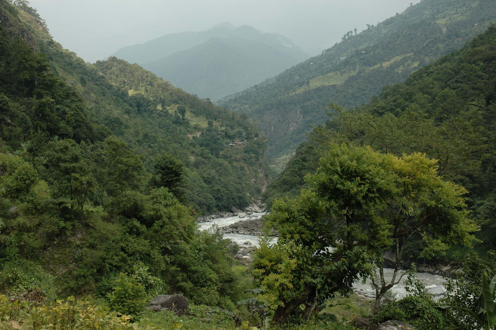 Soti Khola :: the view towards Armala
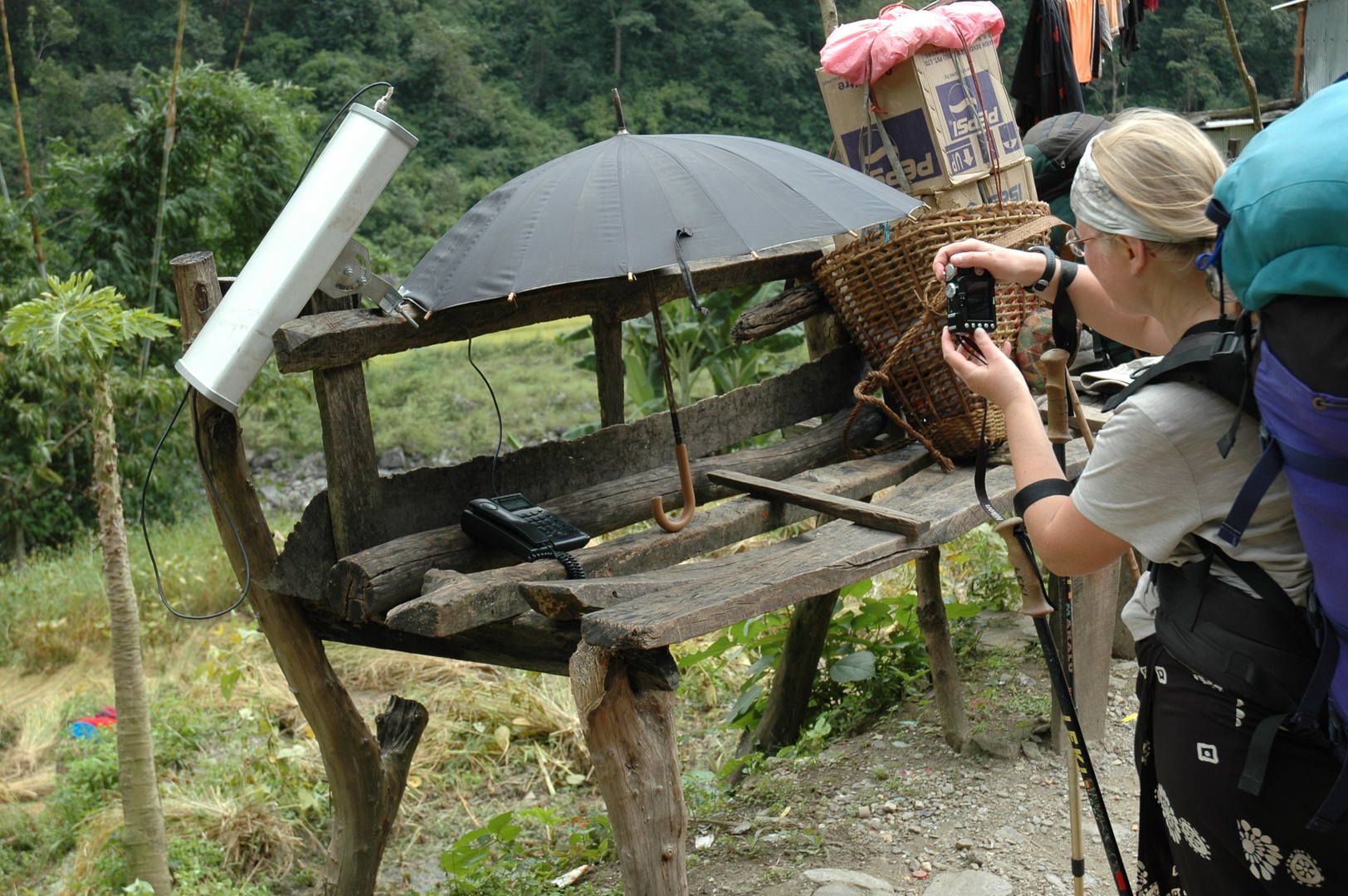 Soti Khola :: the satellite phone available for the public
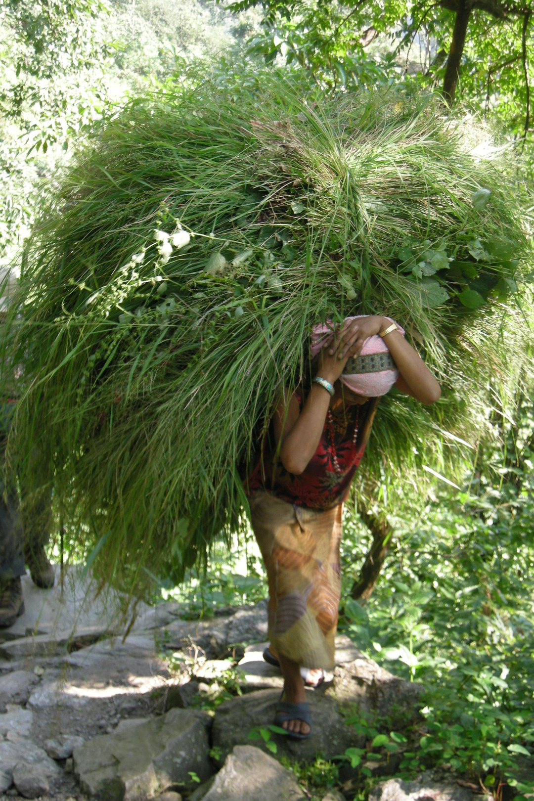 Towards Lapu Besi :: carrying hay
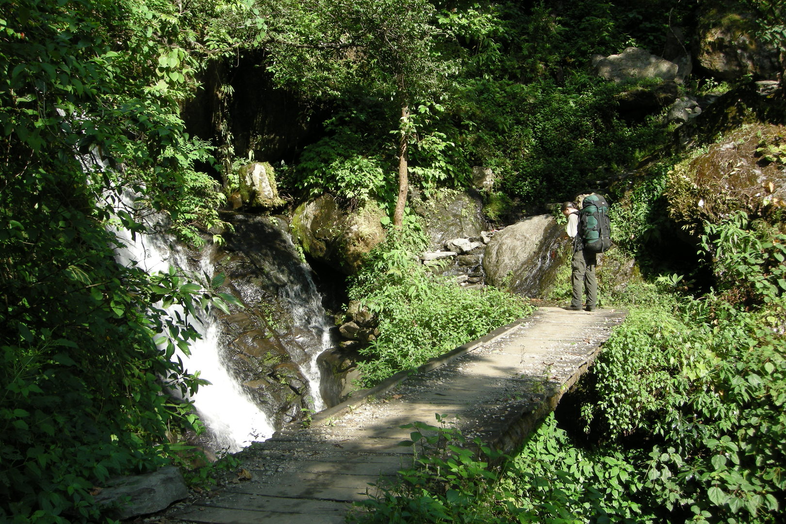 Towards Lapu Besi :: one of the waterfalls
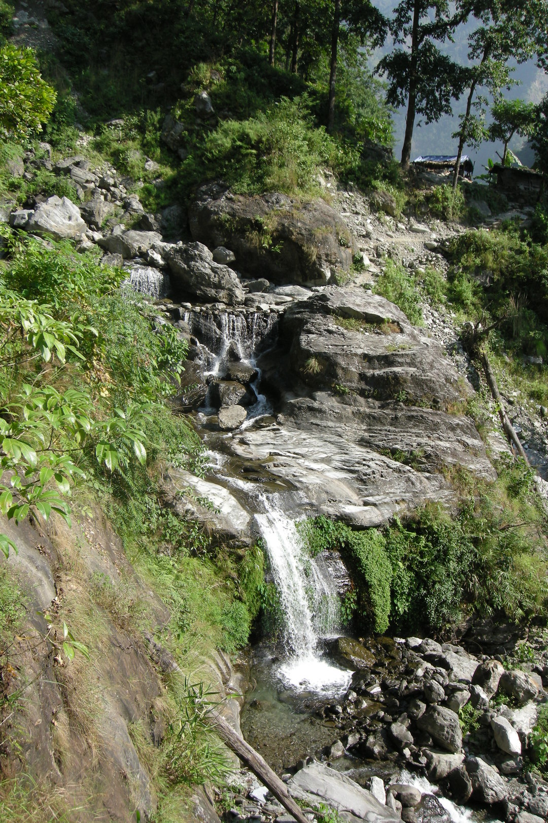 Towards Lapu Besi :: the trail along the noisy river
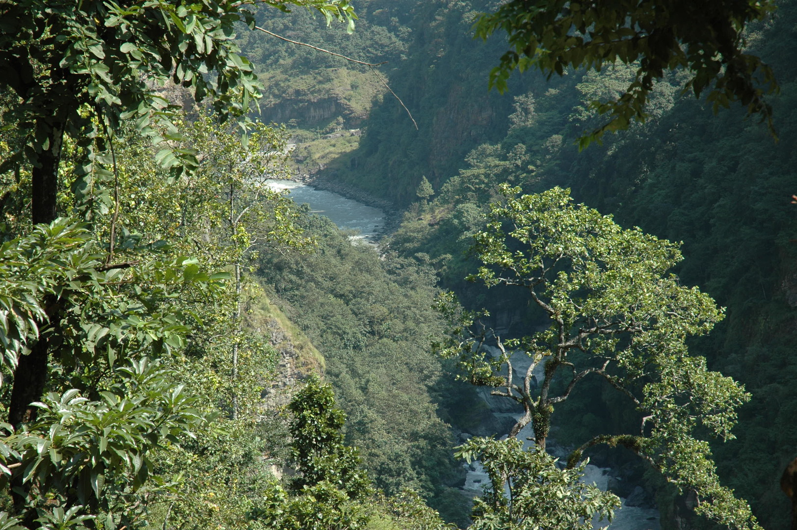 Towards Lapubesi :: one of these ridge climbs in the narrow river valley
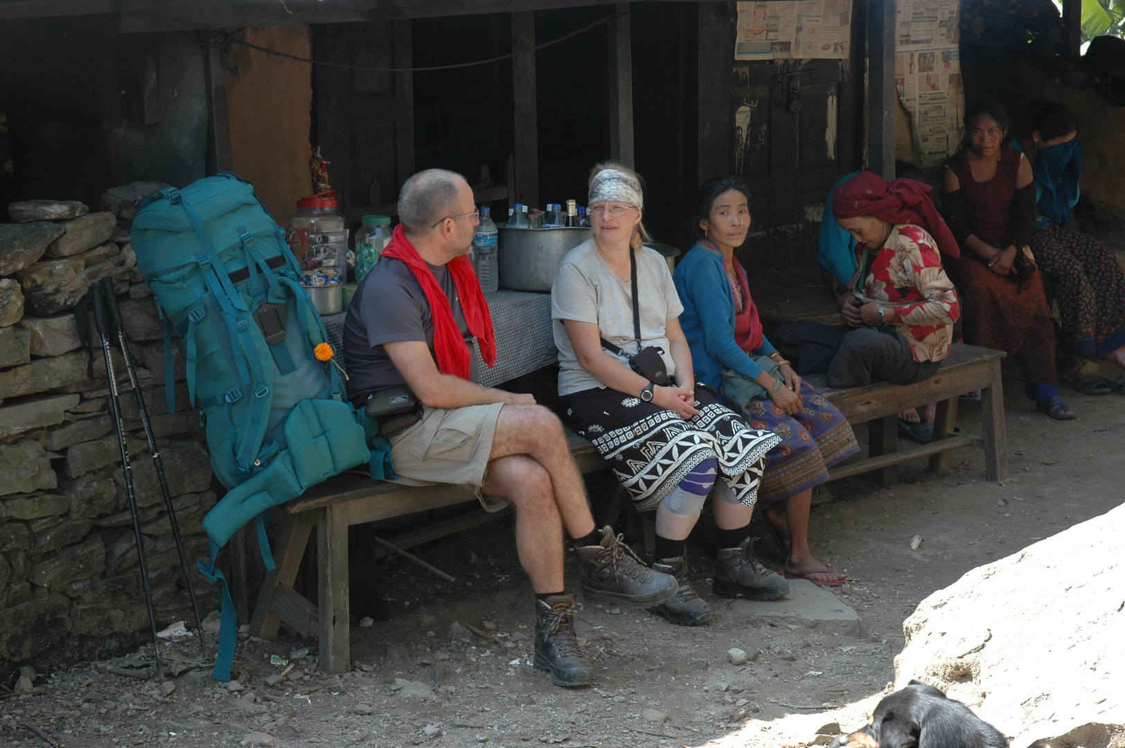 Towards Lapubesi :: resting by a bhatti
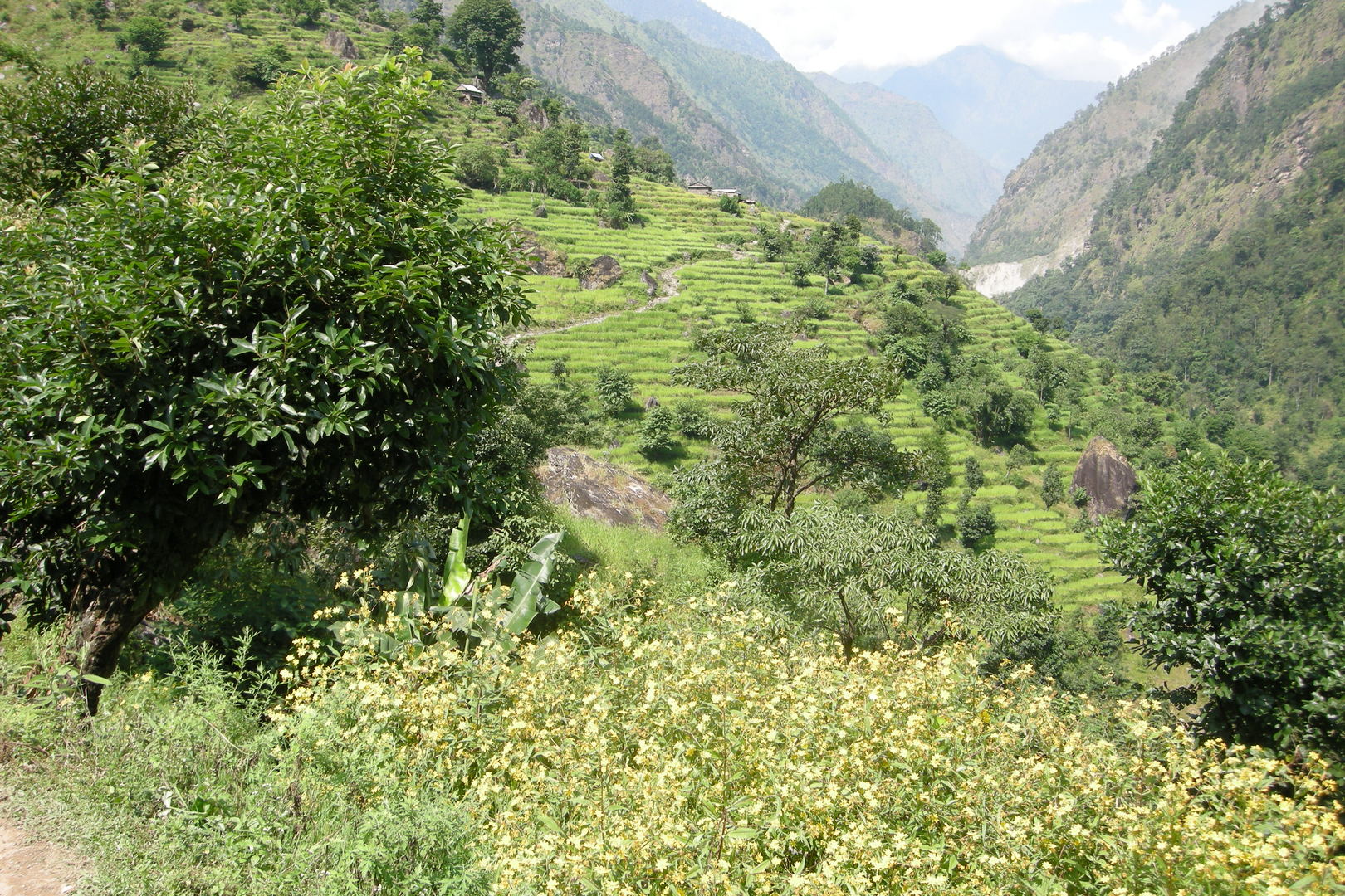 Towards Lapu Besi :: the village in sight
 Lapu Besi :: setting the lunch menu in a lodge
 Nauli Khola :: a welcoming lodge
 Nauli Khola :: the bridge and the fresh, active landslide on the left bank
 North of Nauli Khola :: the Buddhi Gandaki valley broadens
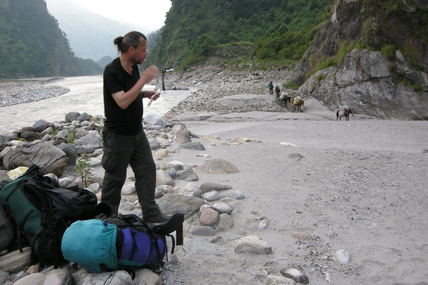 By Khanibesi :: beach camping
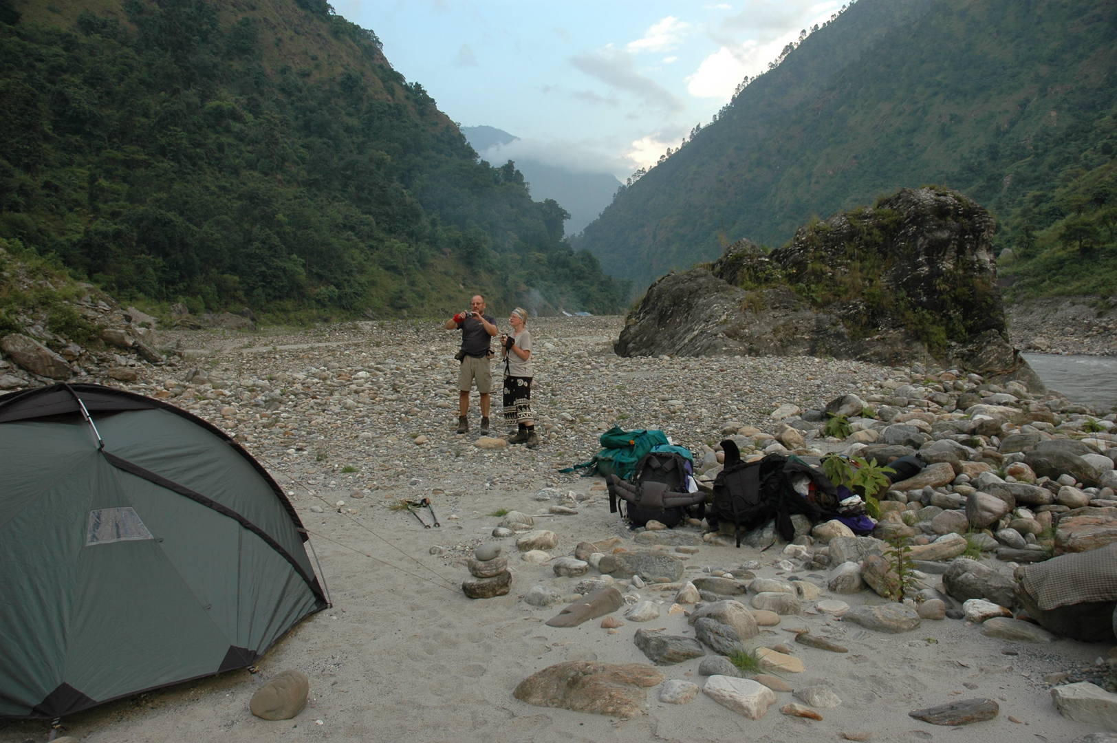 By Khanibesi :: beach camping
 By Khanibesi :: beach camping
 By Machha Khola :: looking north
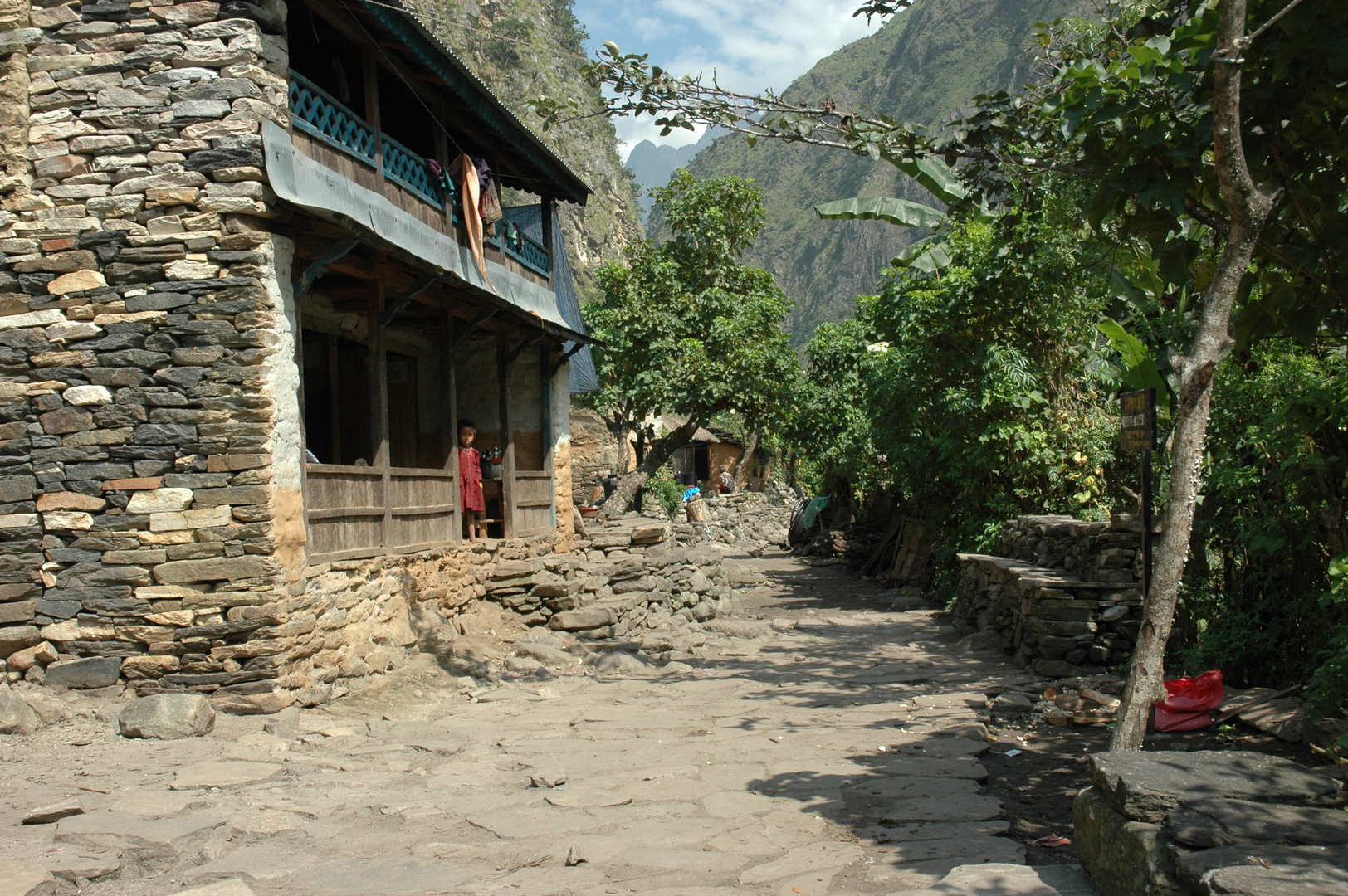 Khorlabesi
 By Lisyapu
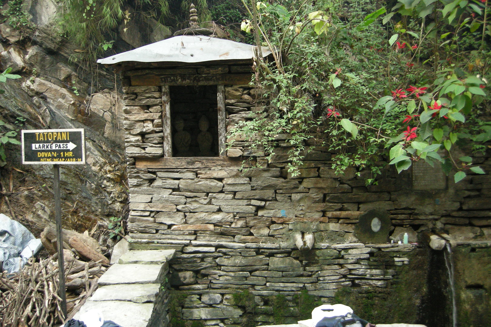 Tatopani :: Gods guarding the hot sources
 Tatopani :: the main street
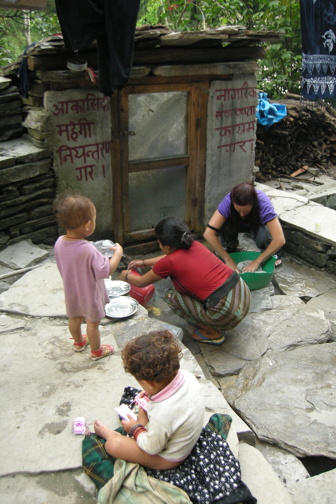 Tatopani :: the wash day by a toilet adorned with Maoist slogans
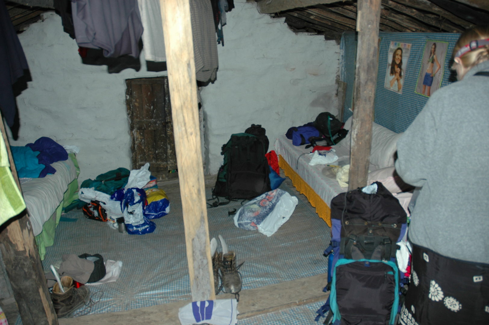 Tatopani :: sleeping upstairs
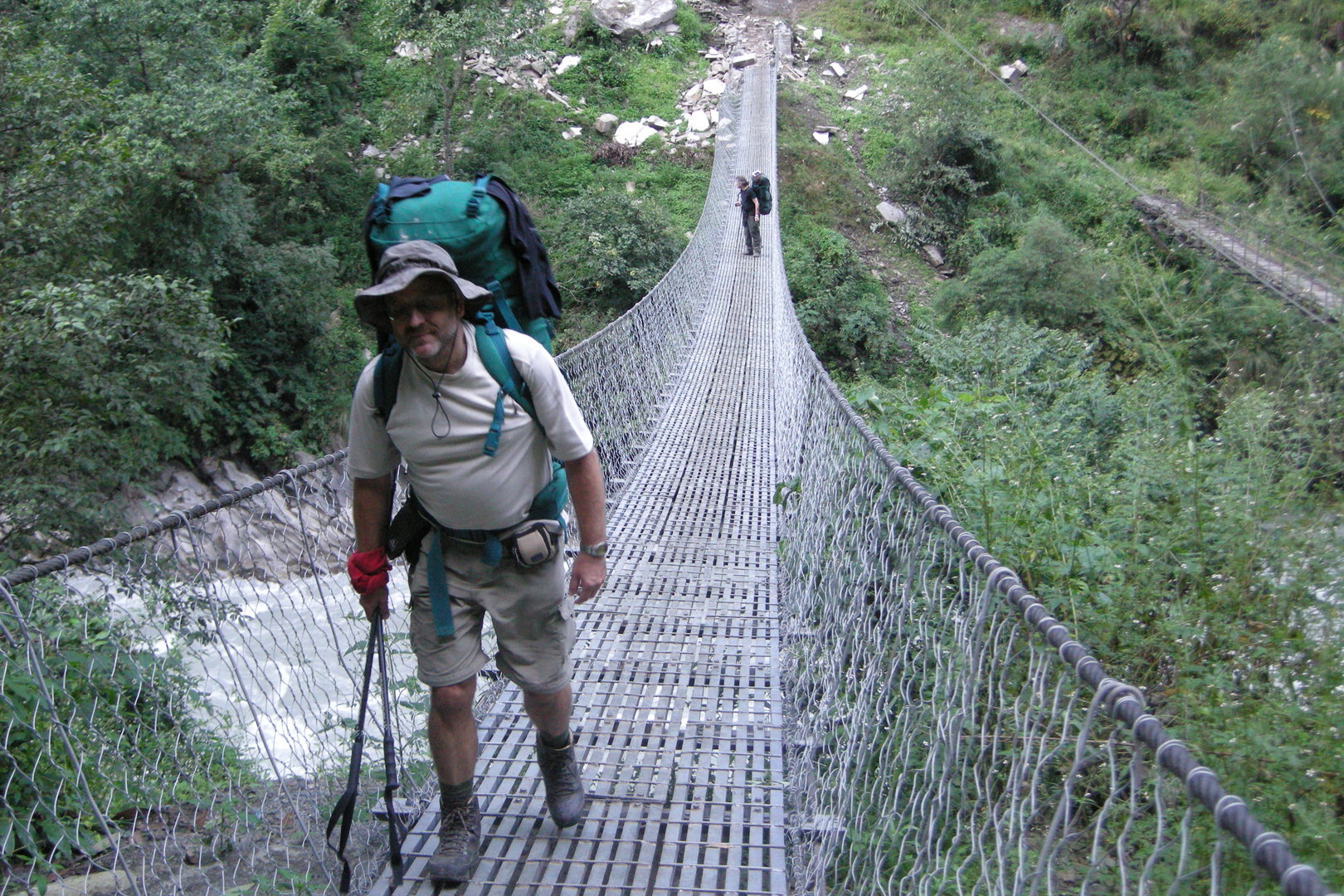 South of Dobhan :: crossing Buddhi Gandaki over one of these new bridges
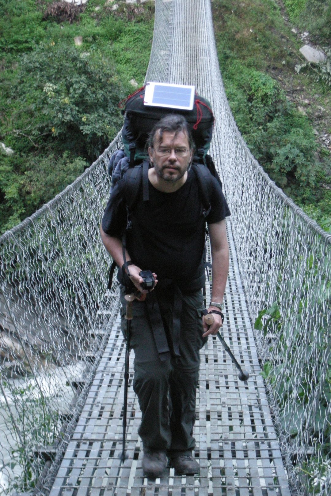 South of Dobhan :: loading the batteries everywhere!
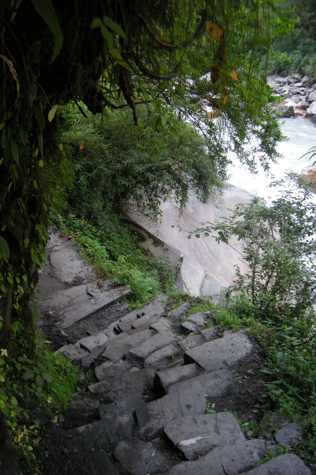 South of Dobhan :: the trail
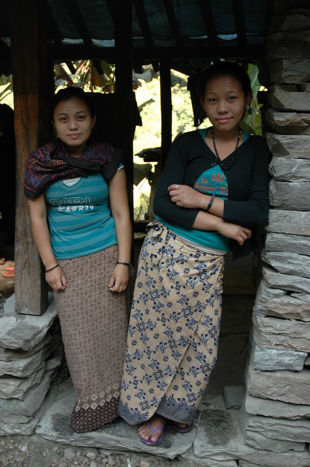 A bhatti before Dobhan :: sorry, girls, it is not always the teatime
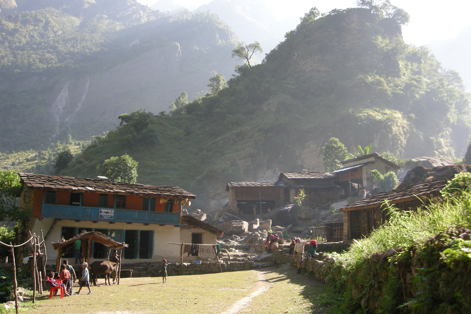 Dobhan :: the lodge
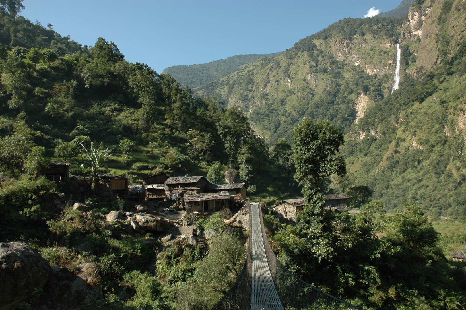 Dobhan :: The Dobhan Khola bridge
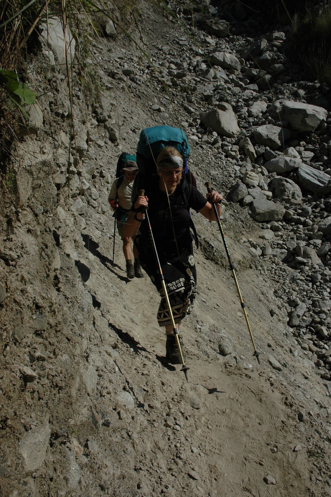 North of Dobhan :: crossing one of these landslides
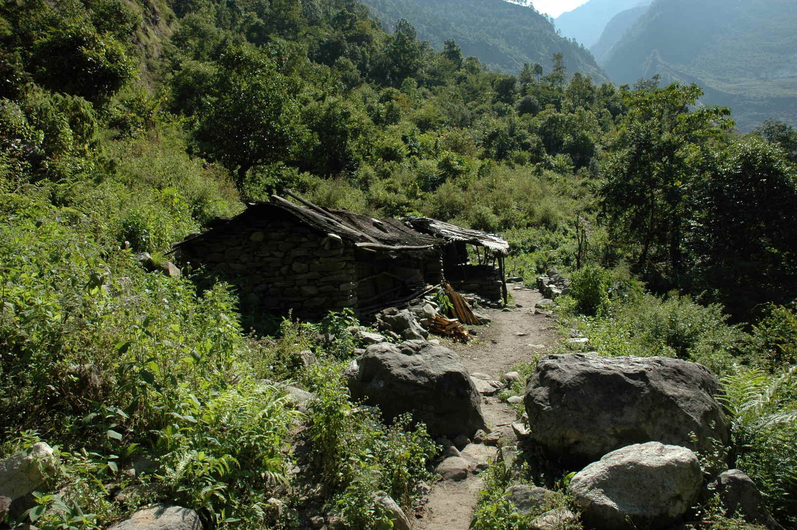 By Indur
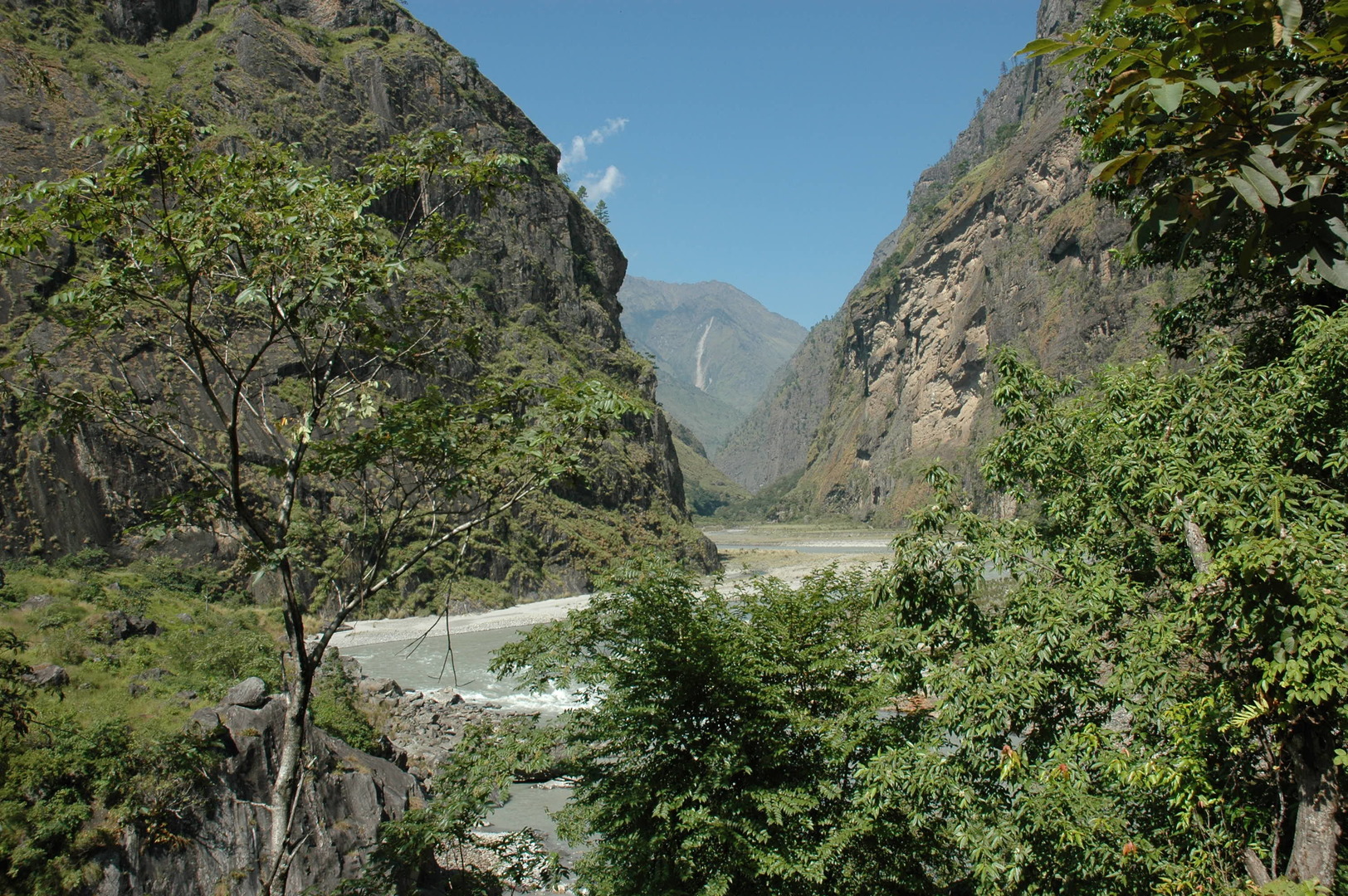 Reaching the Budhi Gandaki and the Yaru Khola confluence
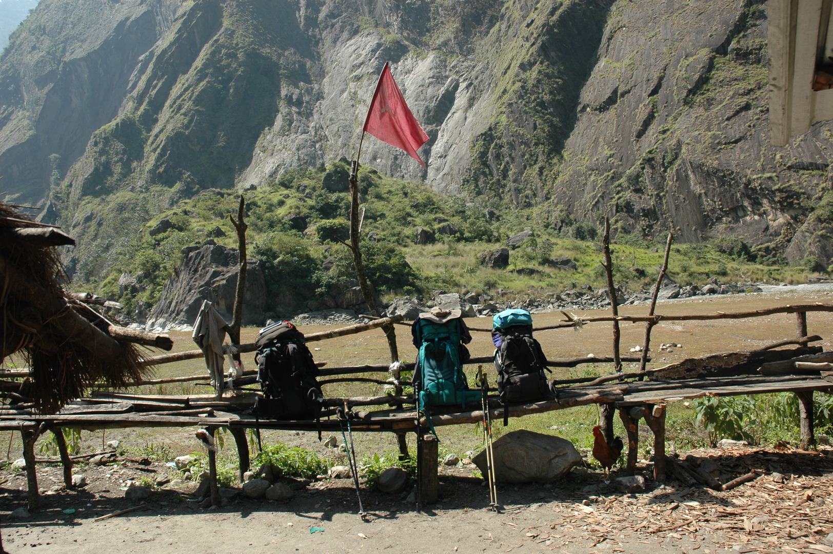 Yaru Khola :: resting under The Red Flag
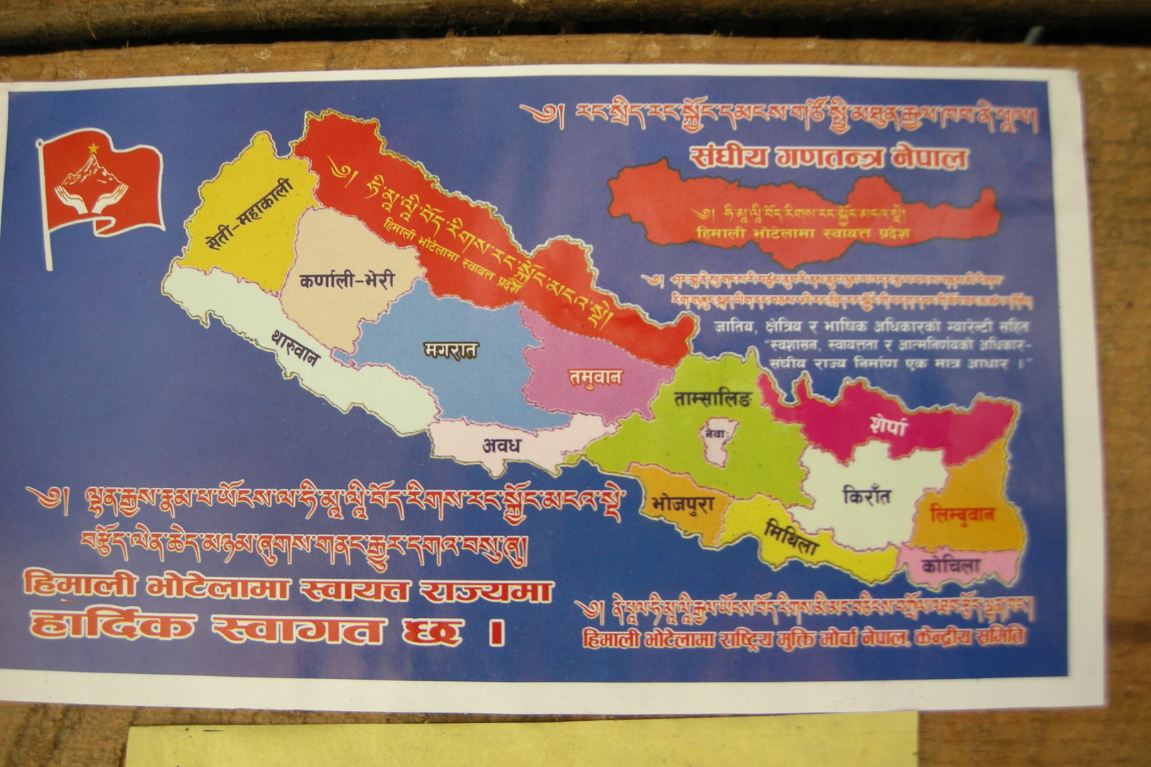 Yaru Khola :: political agitations
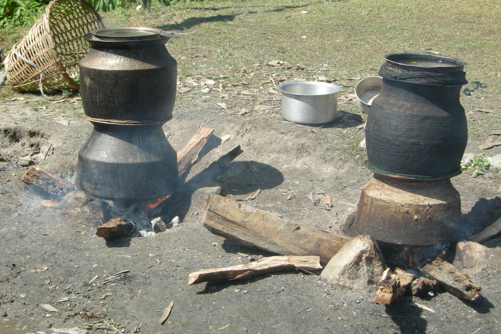 Yaru Khola :: the flame of the revolution :: producing rakshi
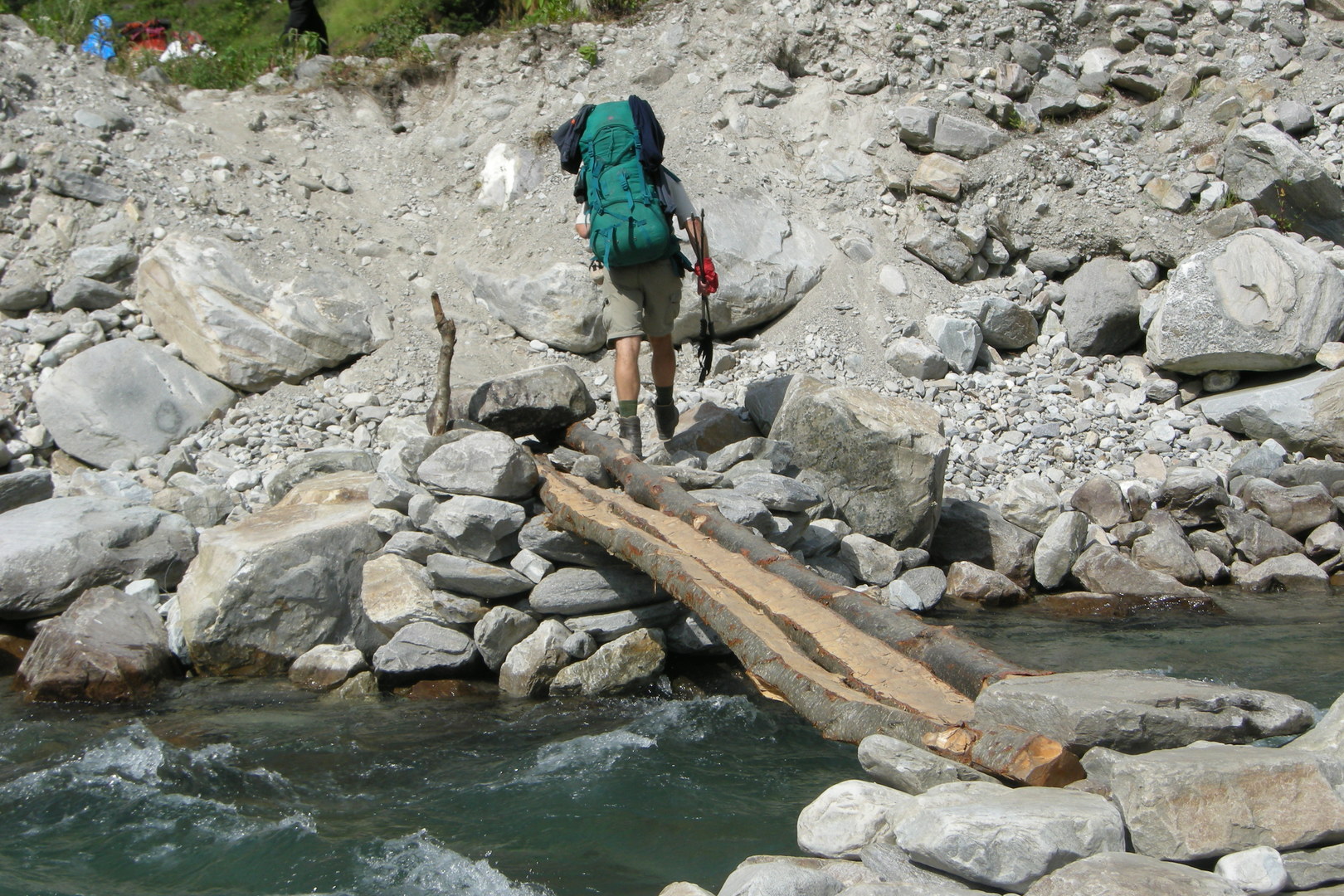 The Yaru Khola outflow :: crossing below the proper bridge
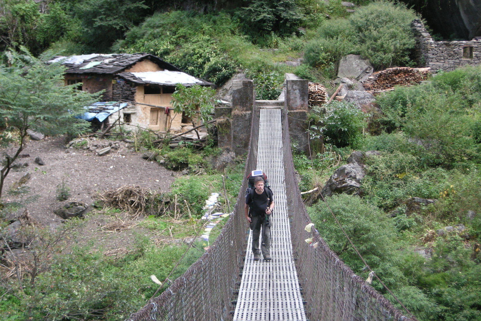 By Lhakpa :: back to the right bank
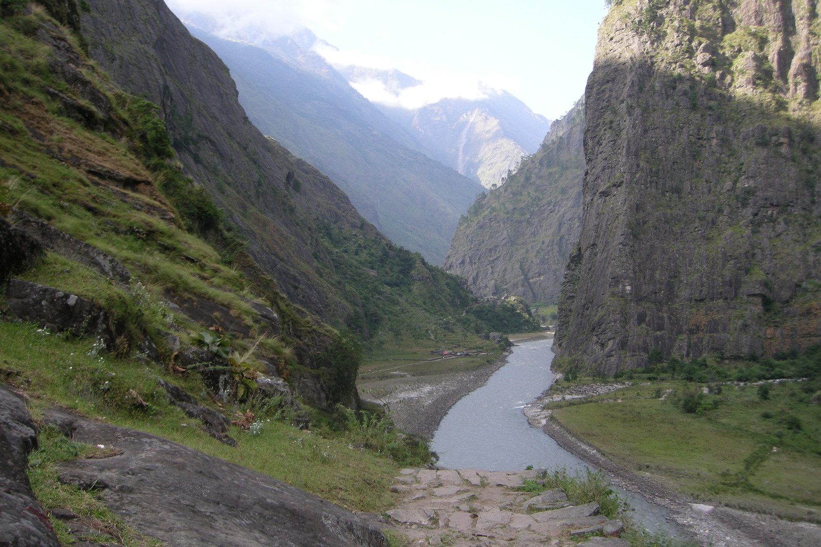 By Lhakpa :: Jagat in sight
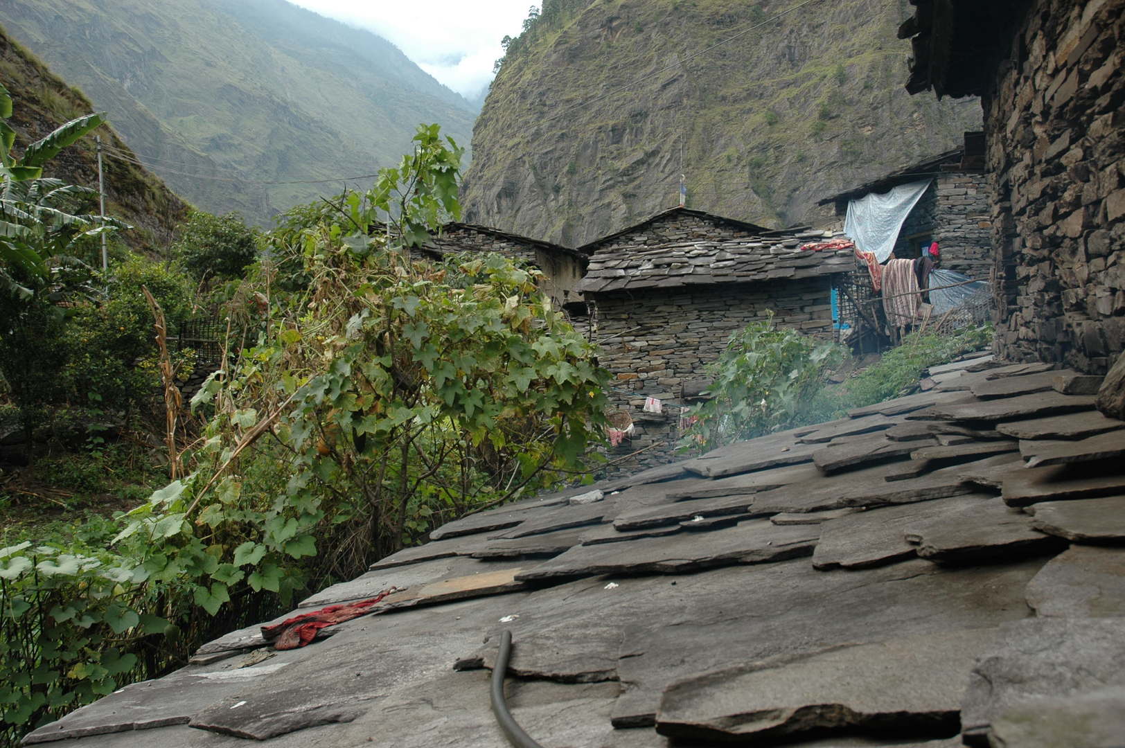 Jagat :: roofs and backyards
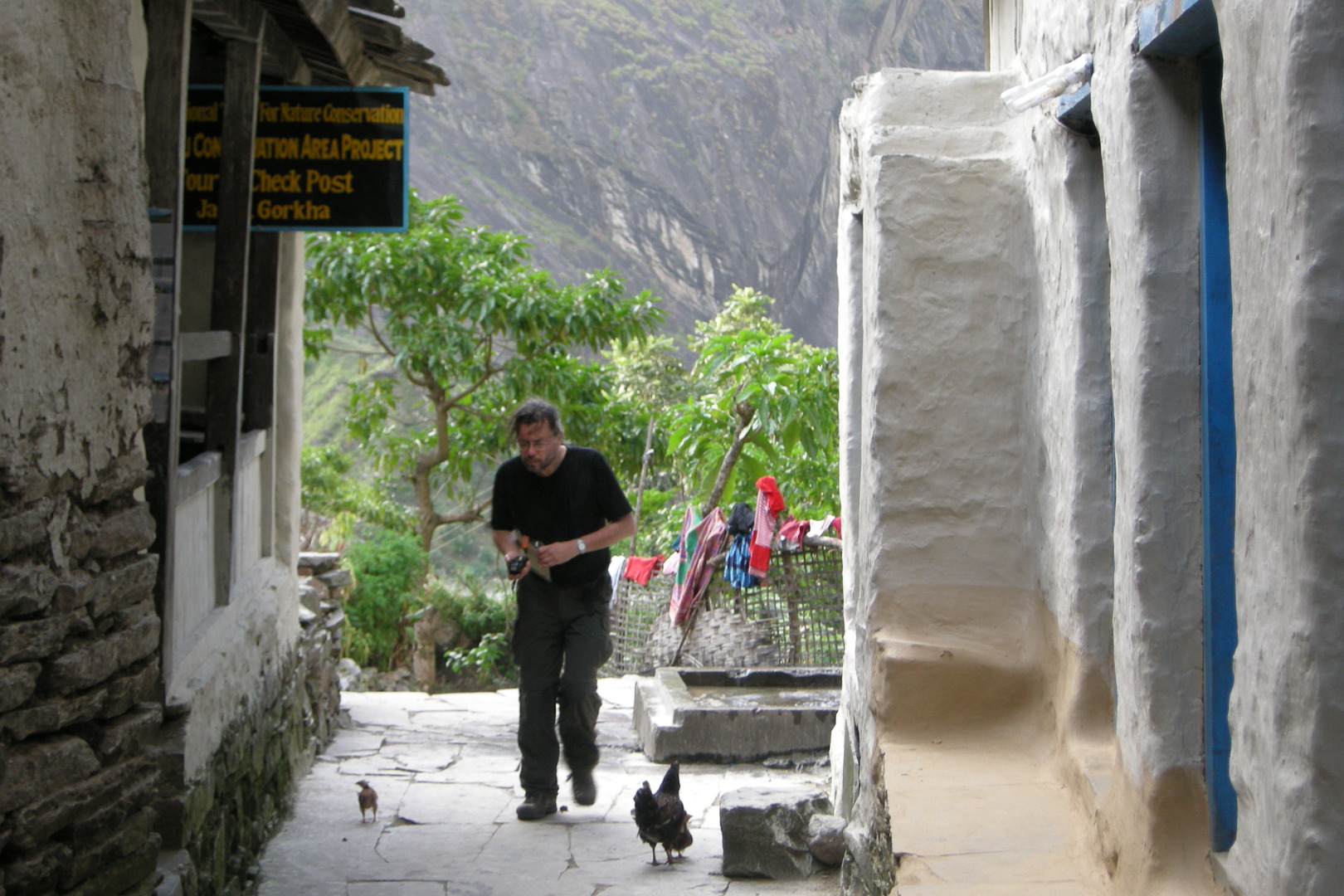 Jagat :: MCAP checkpost :: checkpointed
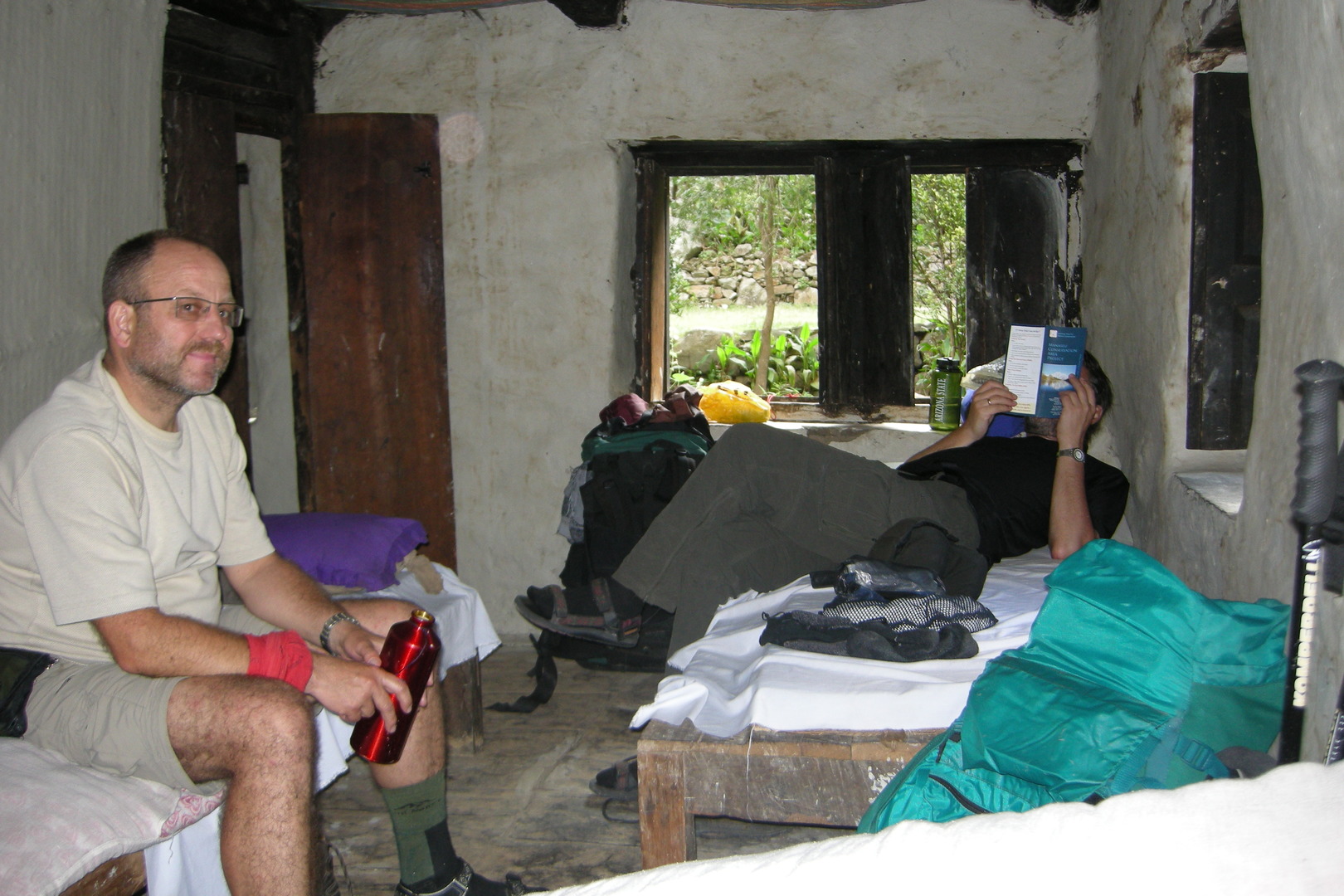 Jagat :: all lodge suite comforts
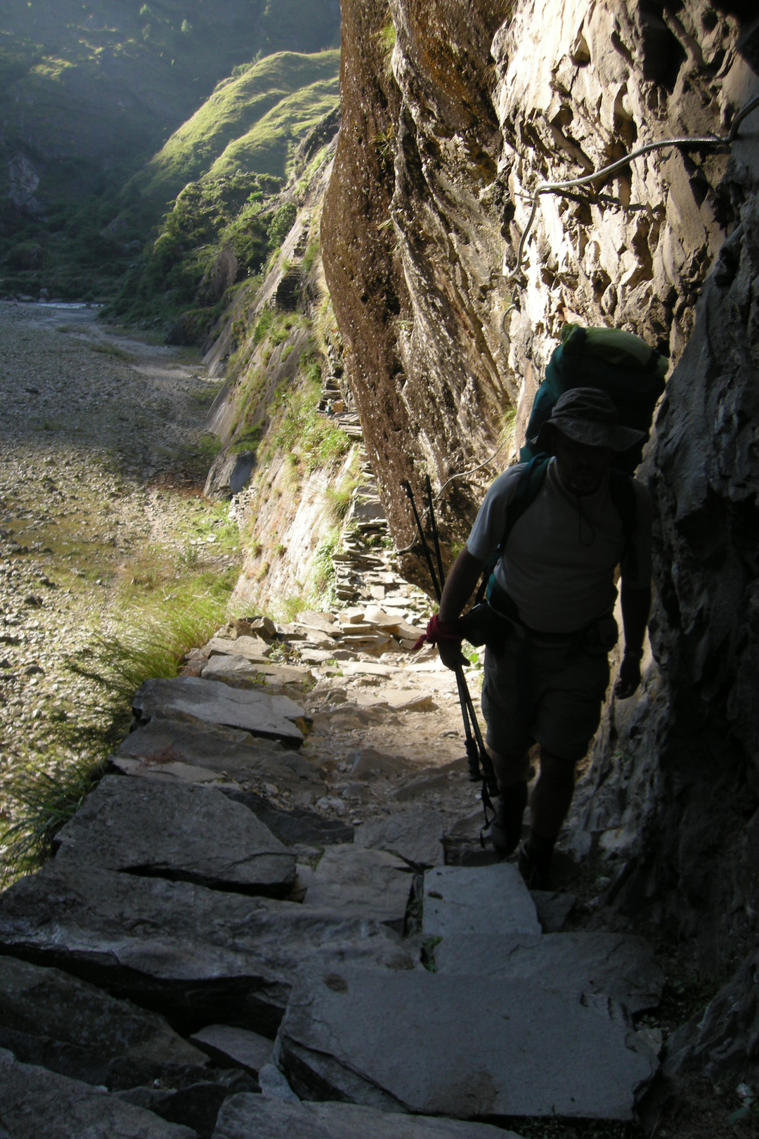 North of Jagat :: on a high trail
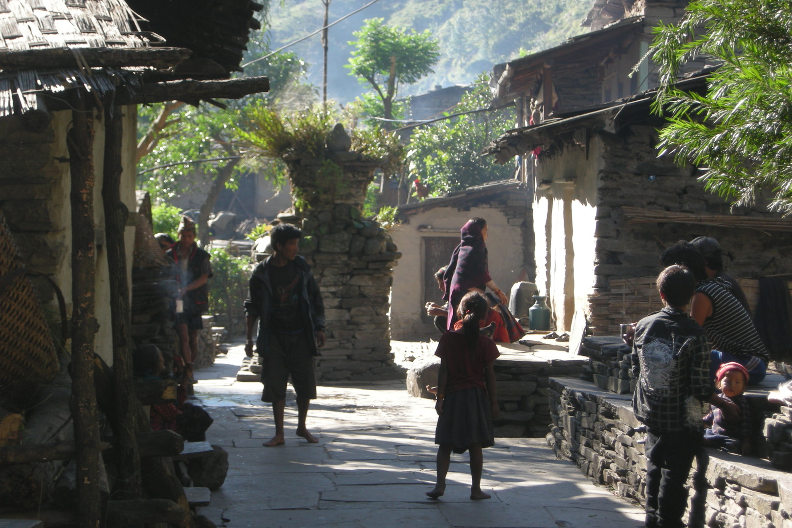 Salleri :: chorten
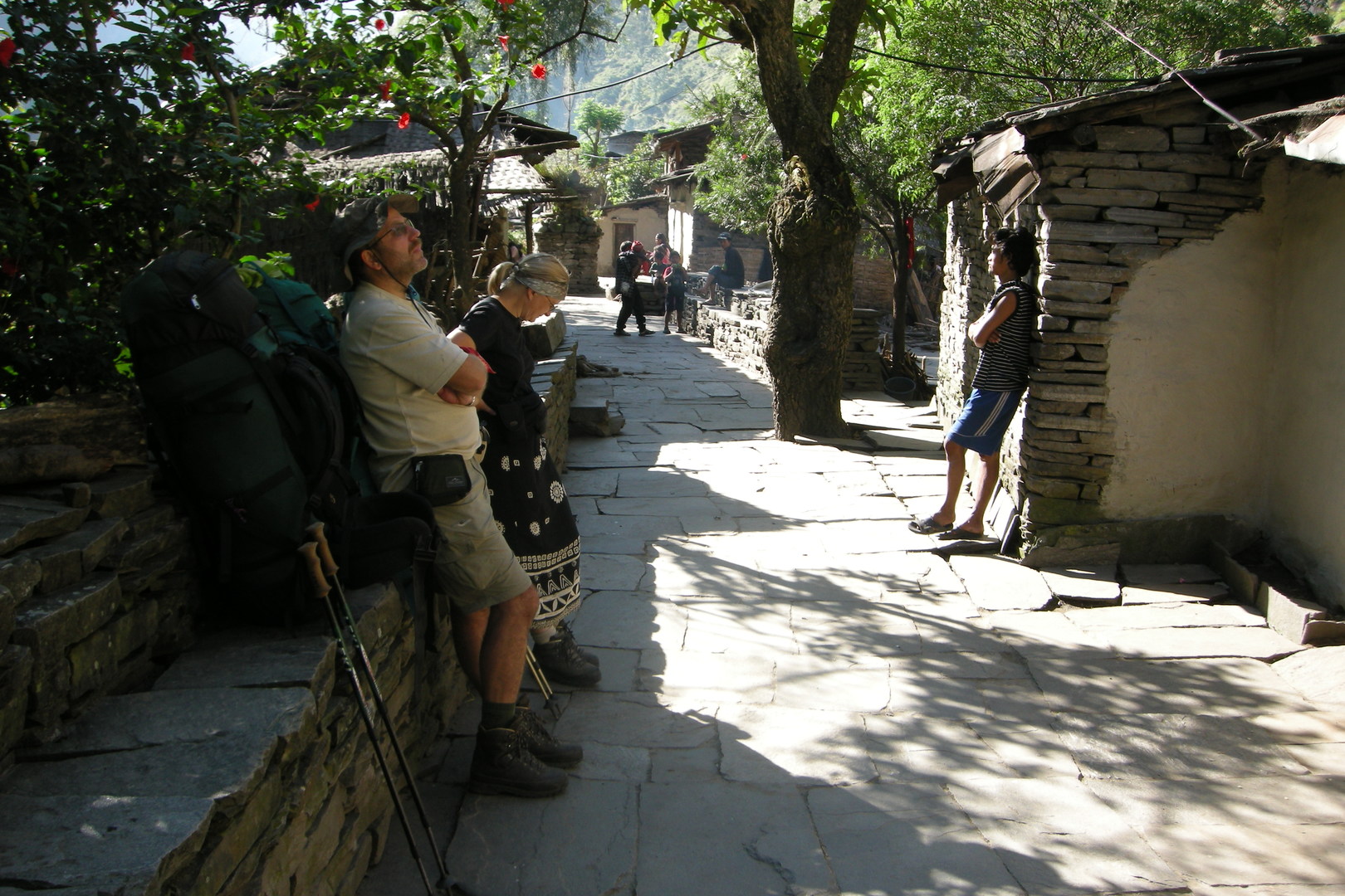 Salleri :: chautaraa
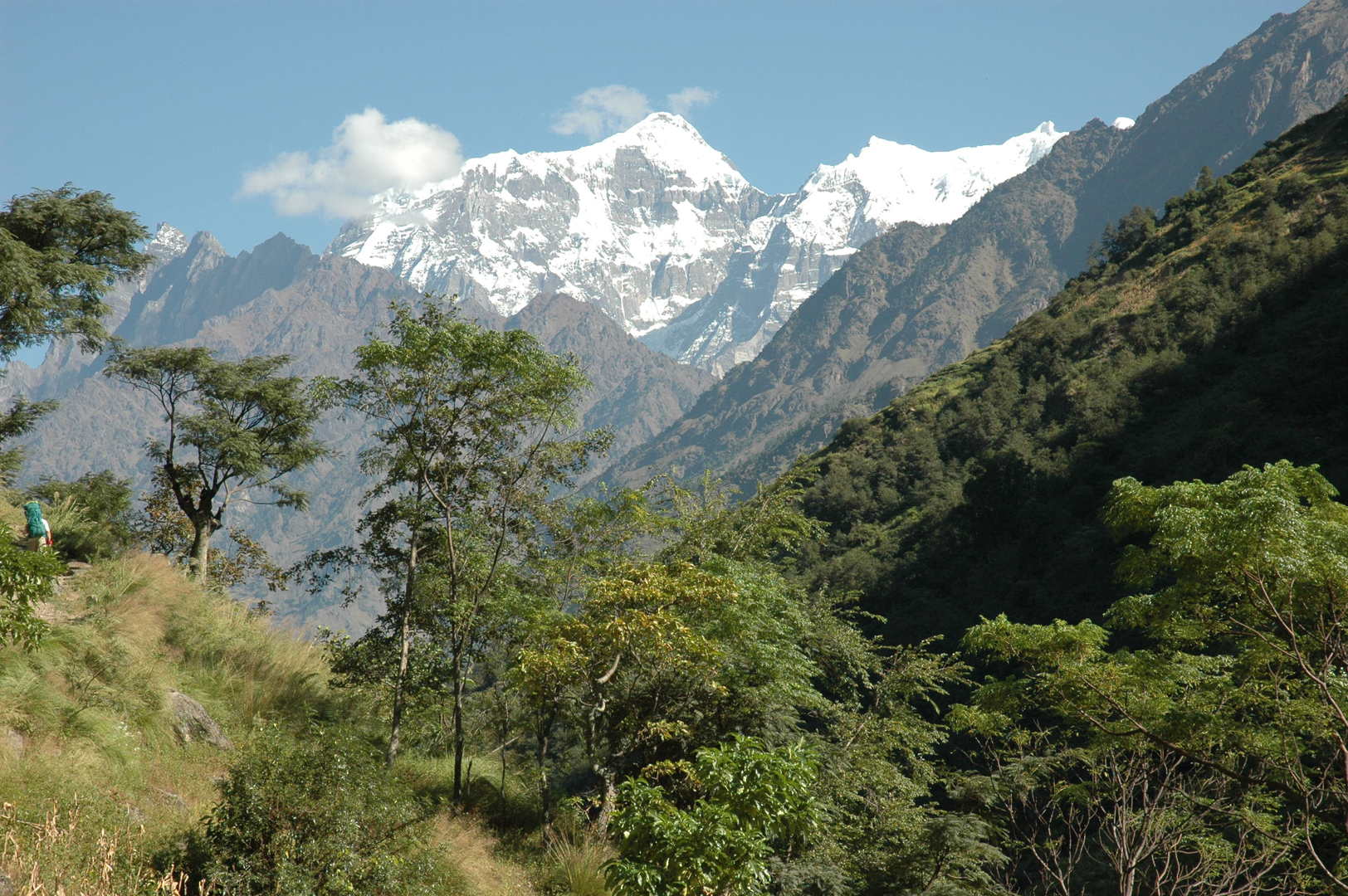 By Paimo :: Sringi Himal views
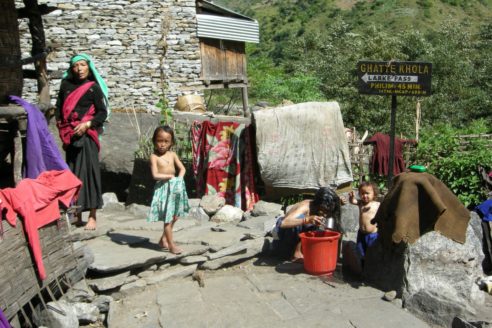 Ghatta Khola :: midday wash
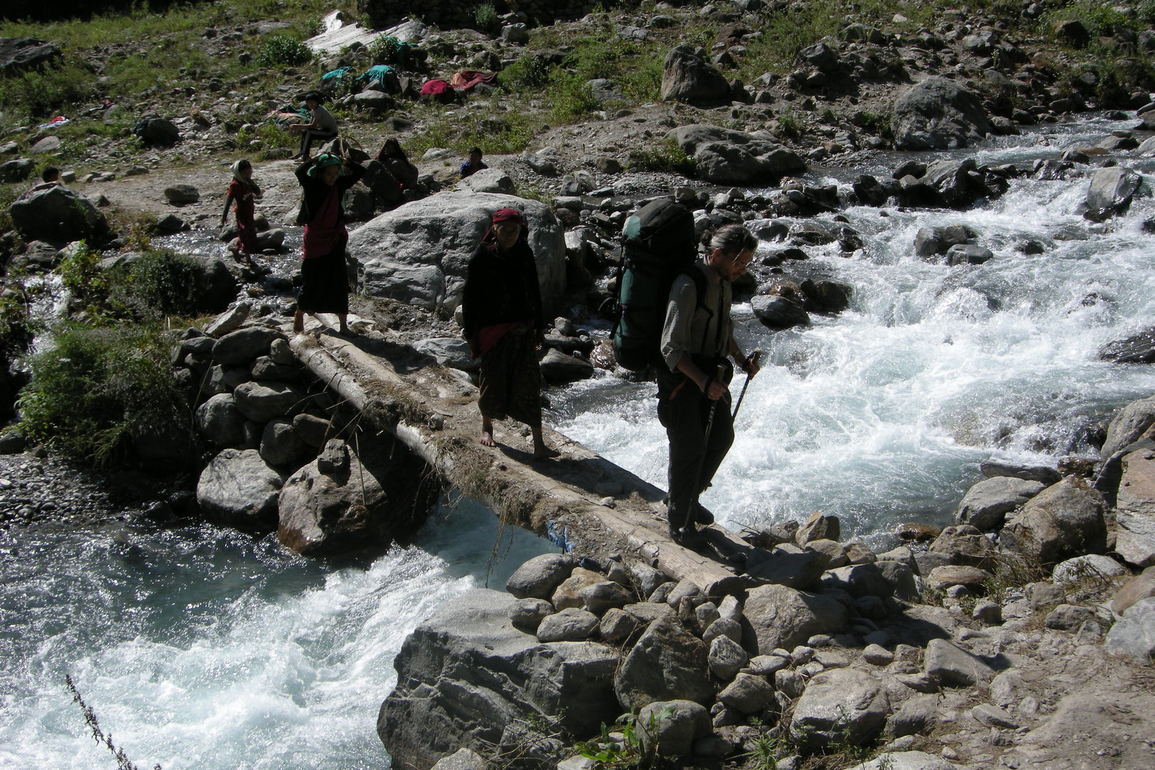 Ghatta Khola :: crossing
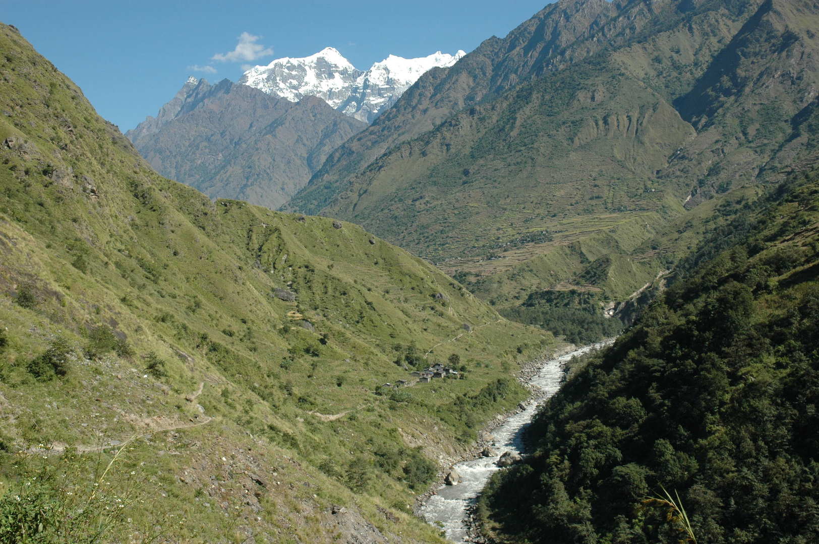 Towards Sirdibas and Philim, the latter on the other side
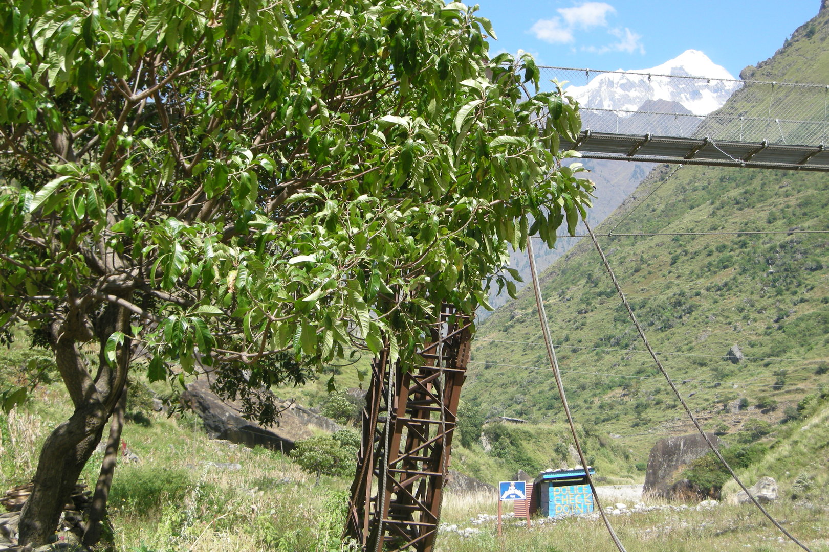 By Nagjur :: the police is watching you
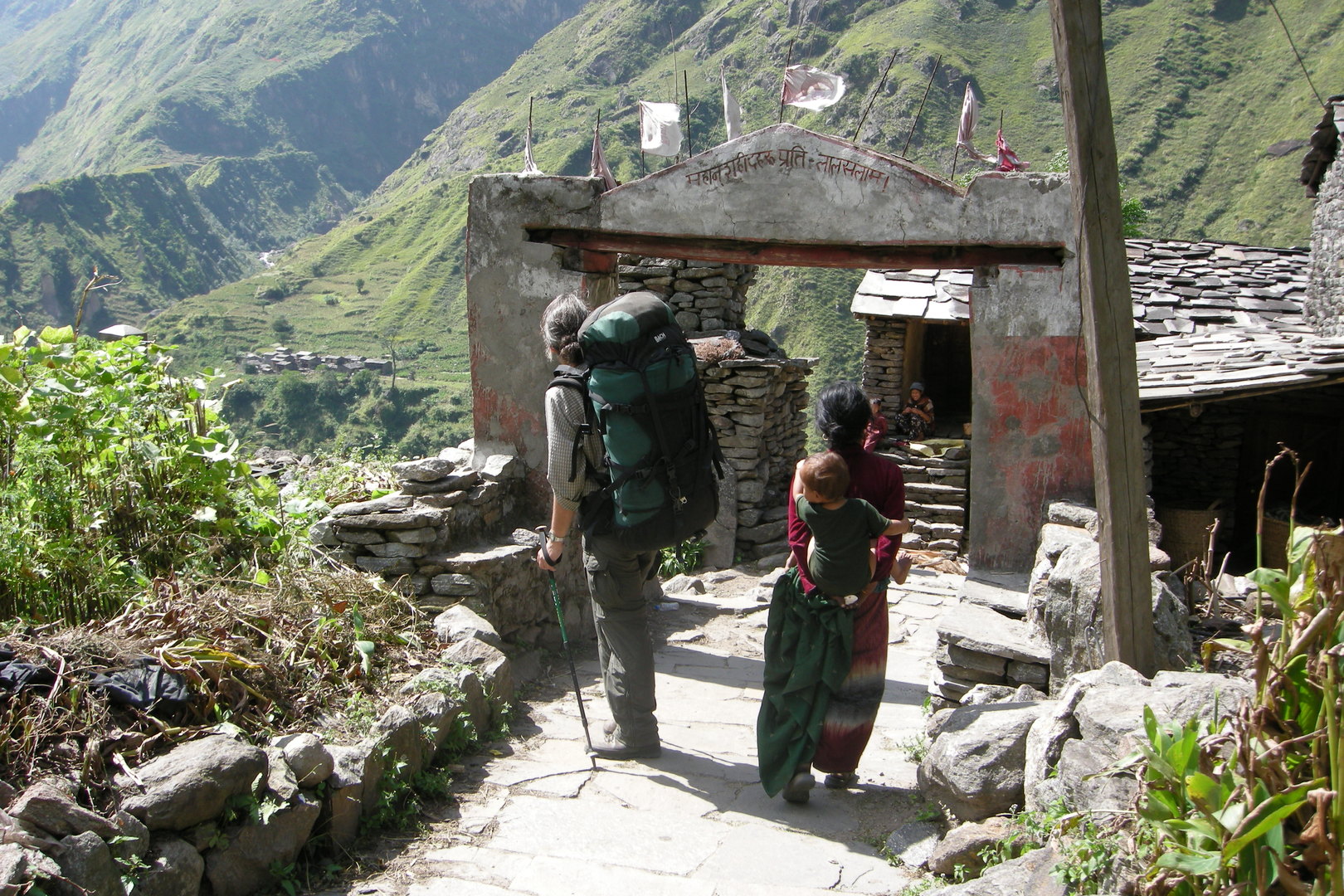 Philim :: the entrance Red Prayer Flags chorten
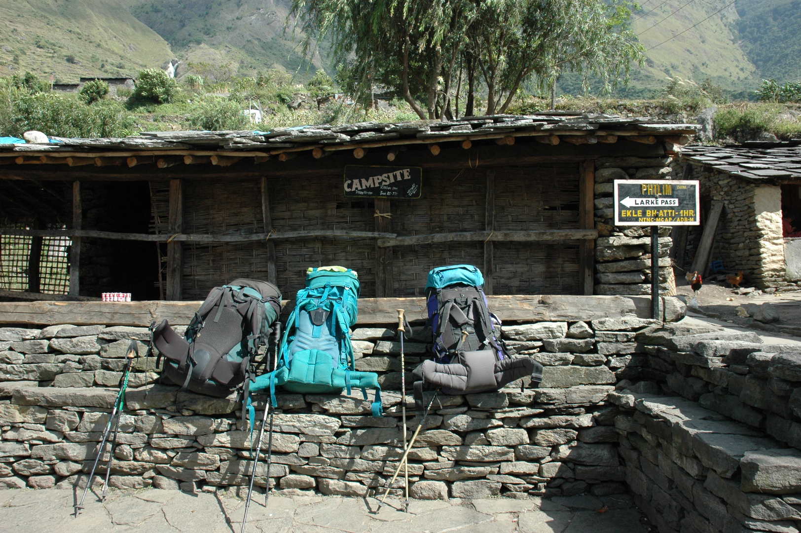 Philim :: resting
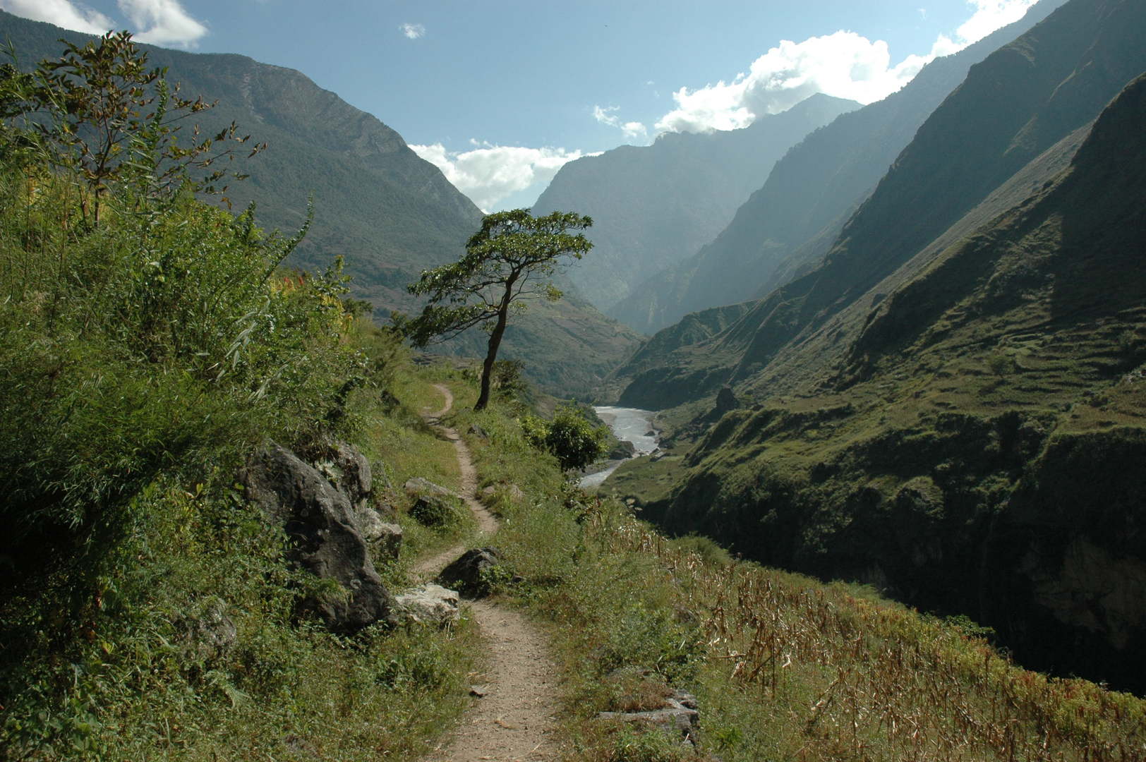 On the trail to Ekle Bhatti :: looking south
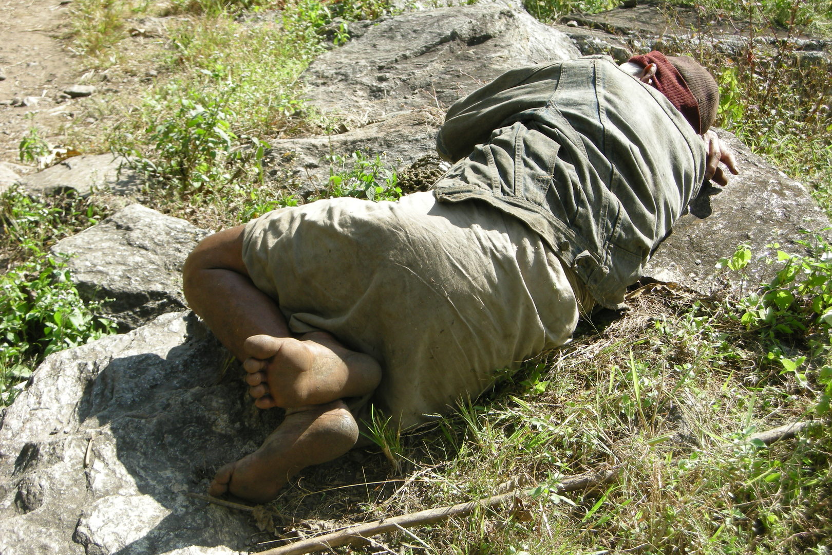 On the trail to Ekle Bhatti :: a sleeping villager
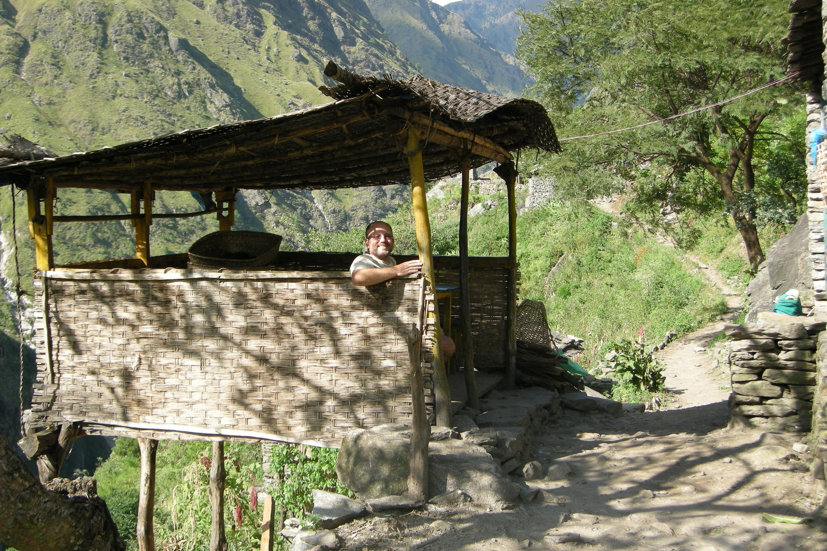 Ekle Bhatti :: a bhatti dining room
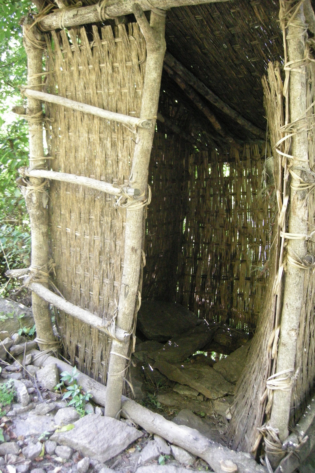 Ekle Bhatti :: and the toilet
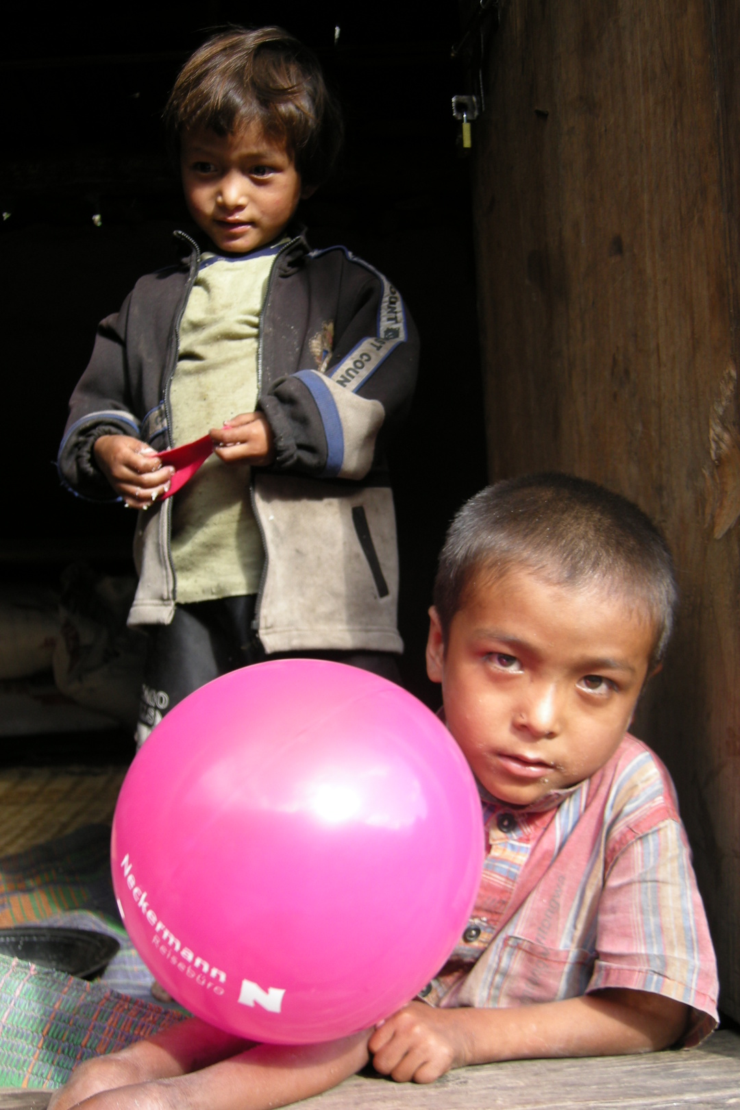 Ekle Bhatti :: children, ballooned
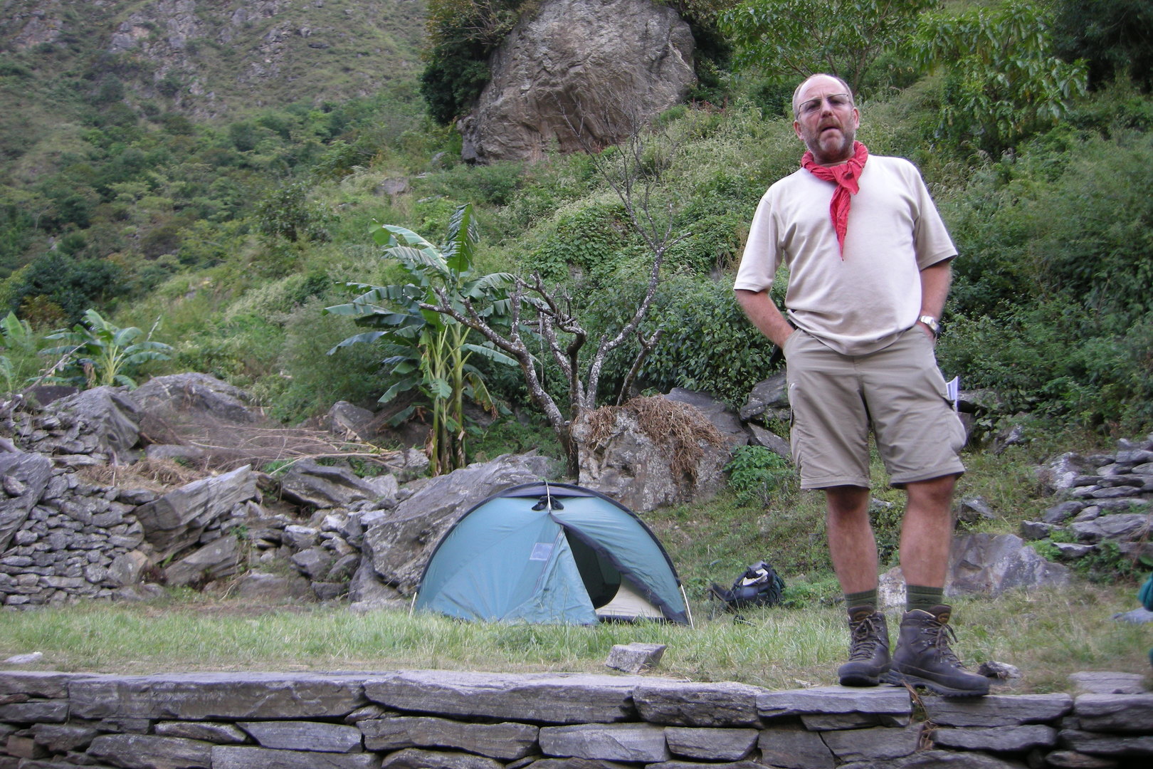 Ekle Bhatti :: ke garne?
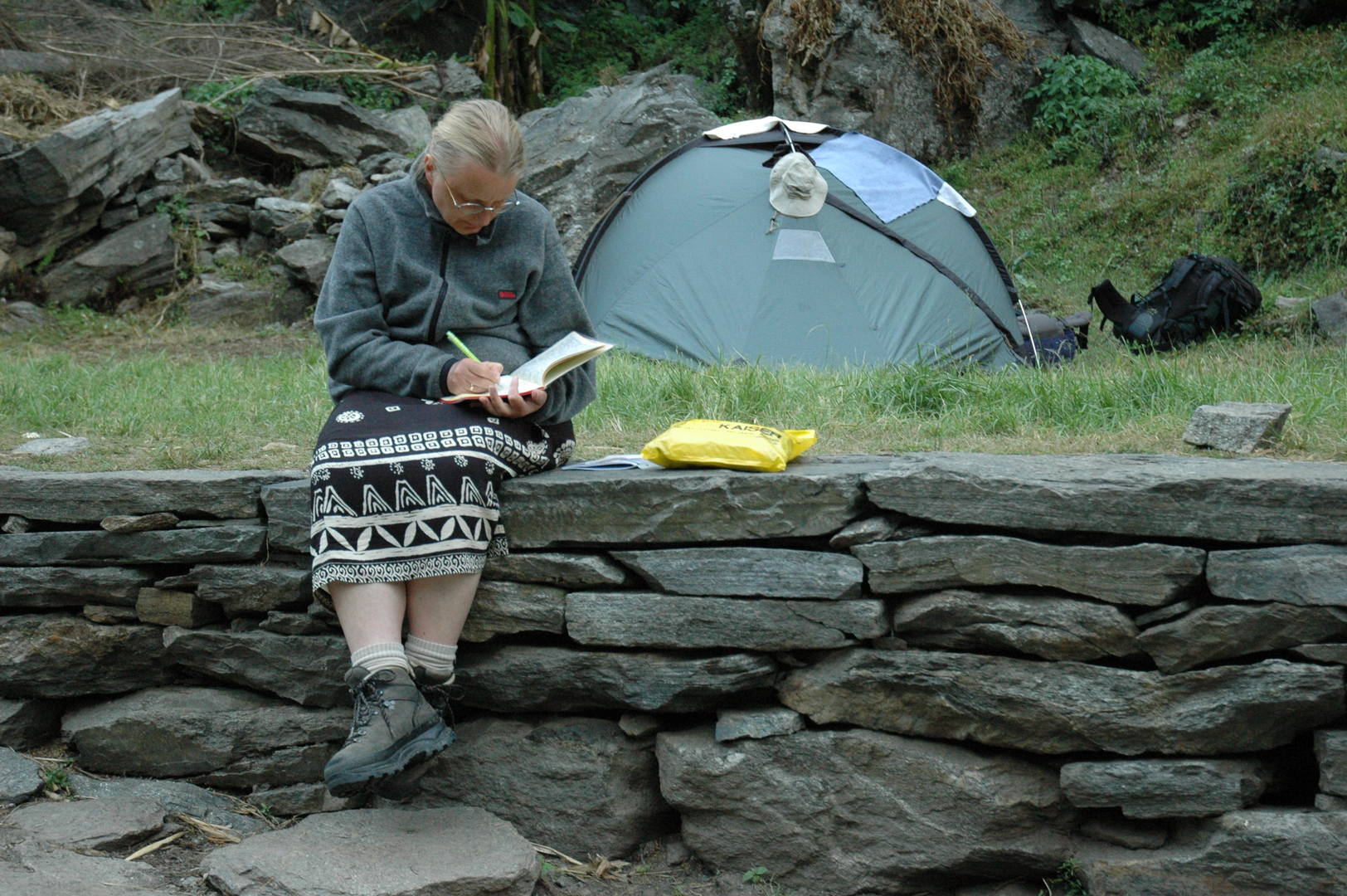 Ekle Bhatti :: updating the diary
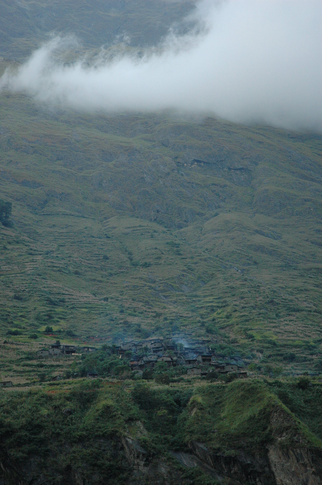 Ekle Bhatti :: the smokes and clouds above Bangsing
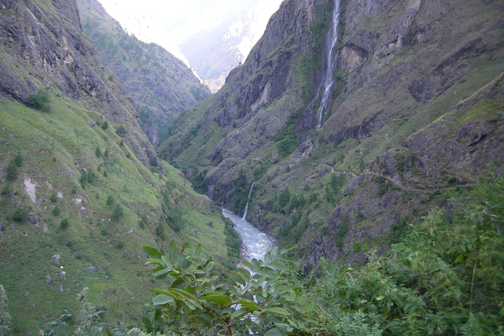 The Budhi Gandaki gorge by Awa :: entering
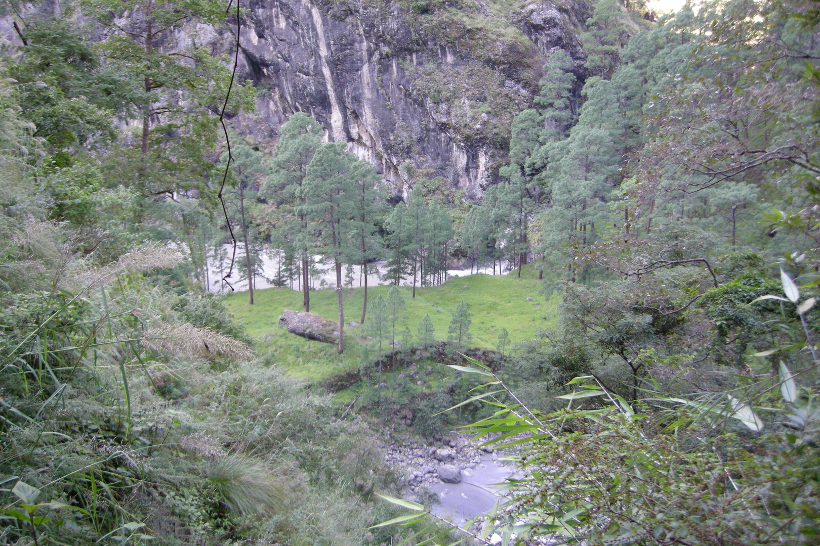 The Budhi Gandaki gorge by Awa :: a pine forest
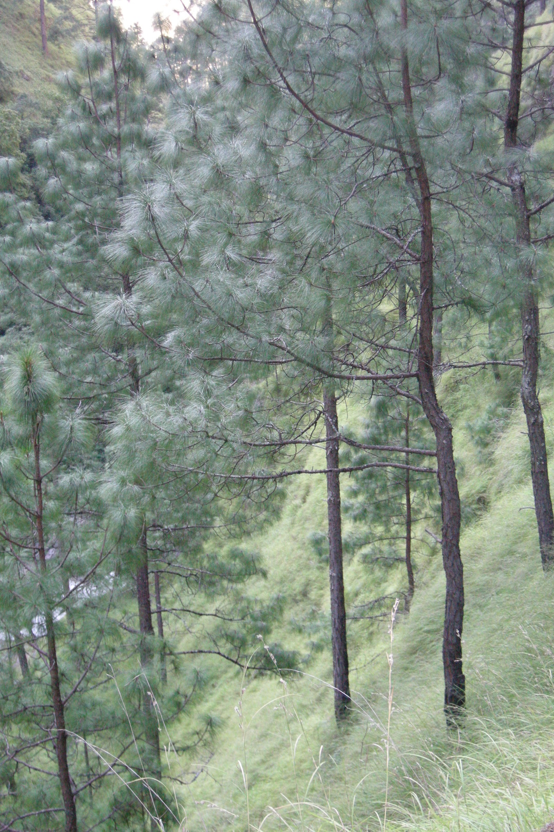 The Budhi Gandaki gorge by Awa :: a pine forest
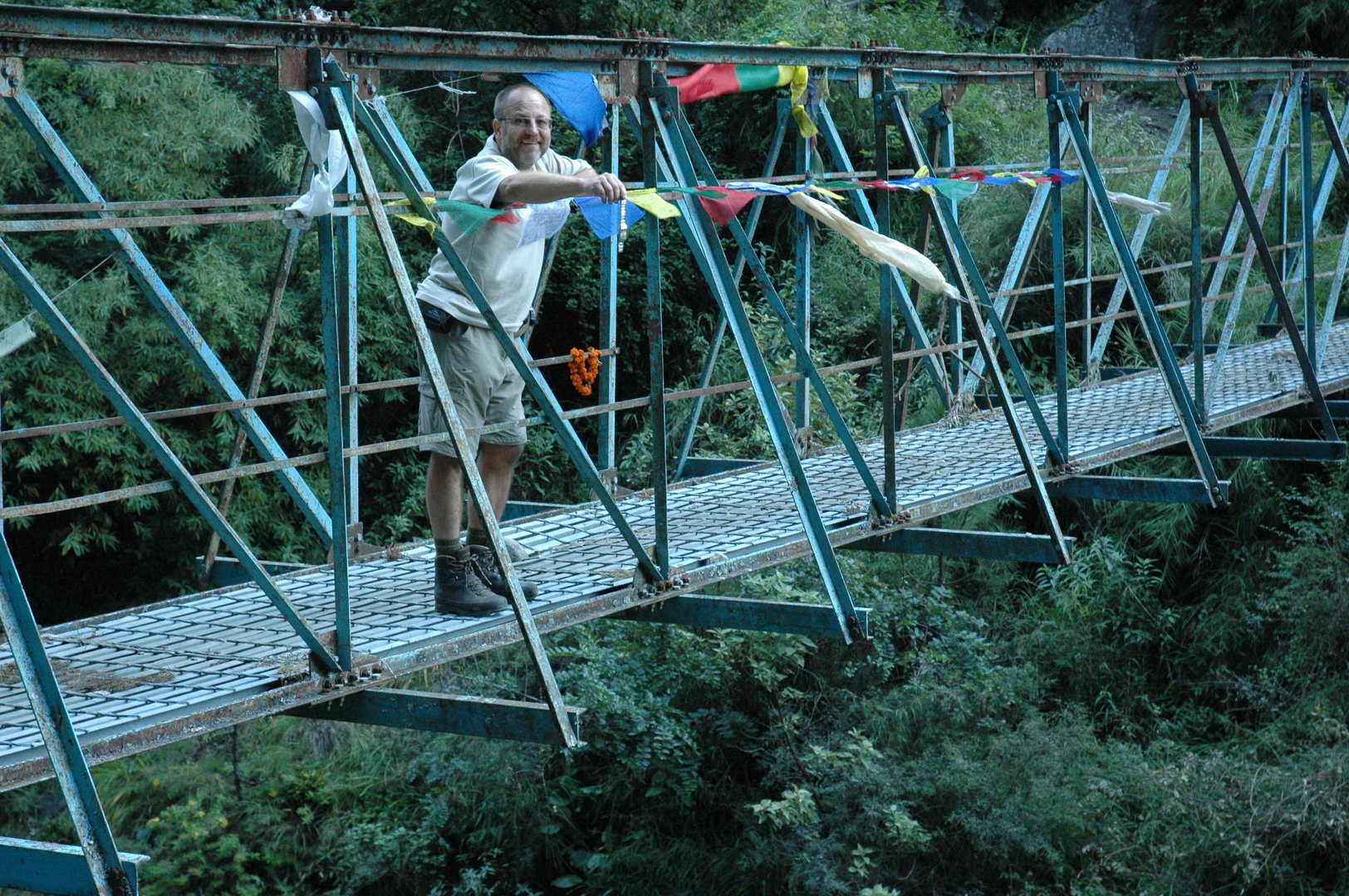 The Budhi Gandaki gorge by Awa :: the blue metal bridge :: getting rid of the useless watch
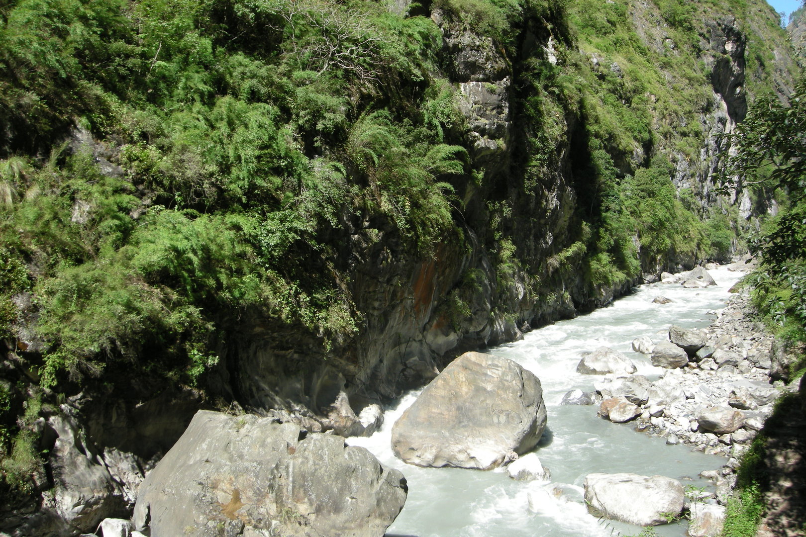 The Budhi Gandaki gorge by Nyak
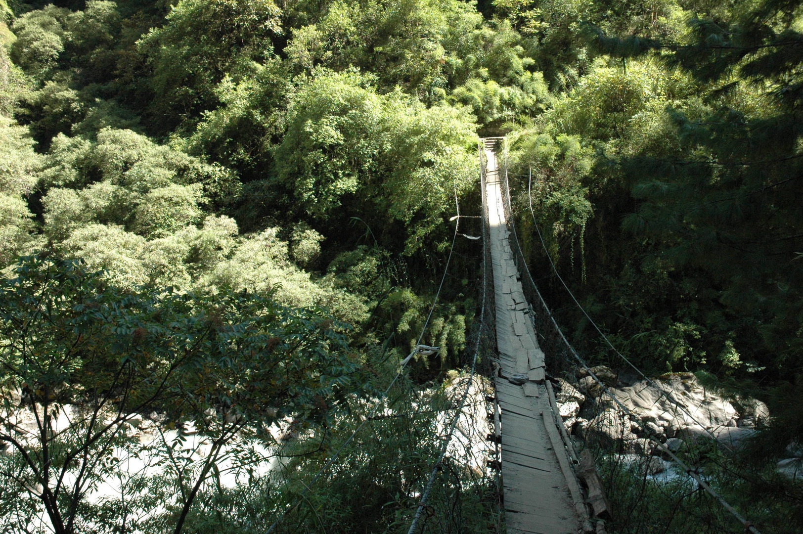 The Budhi Gandaki gorge by Nyak :: the first bridge :: oh, just cross and forget it
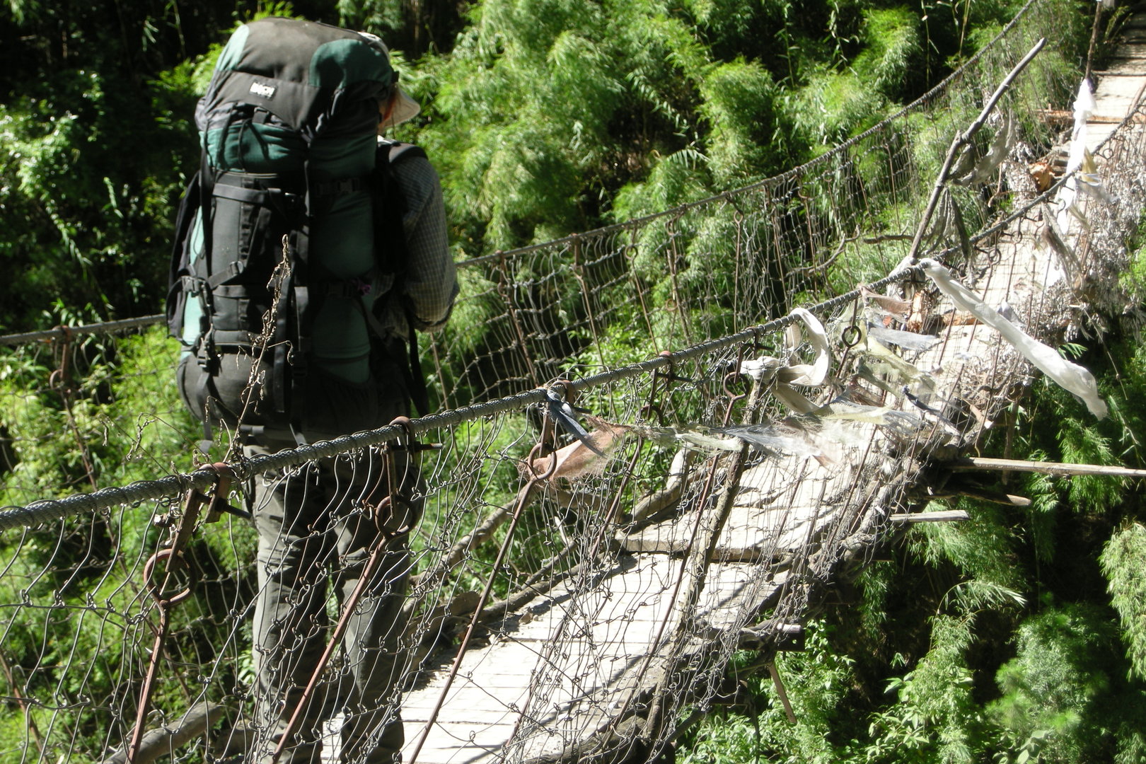 The Budhi Gandaki gorge by Nyak :: the first bridge :: oh, just cross and forget it
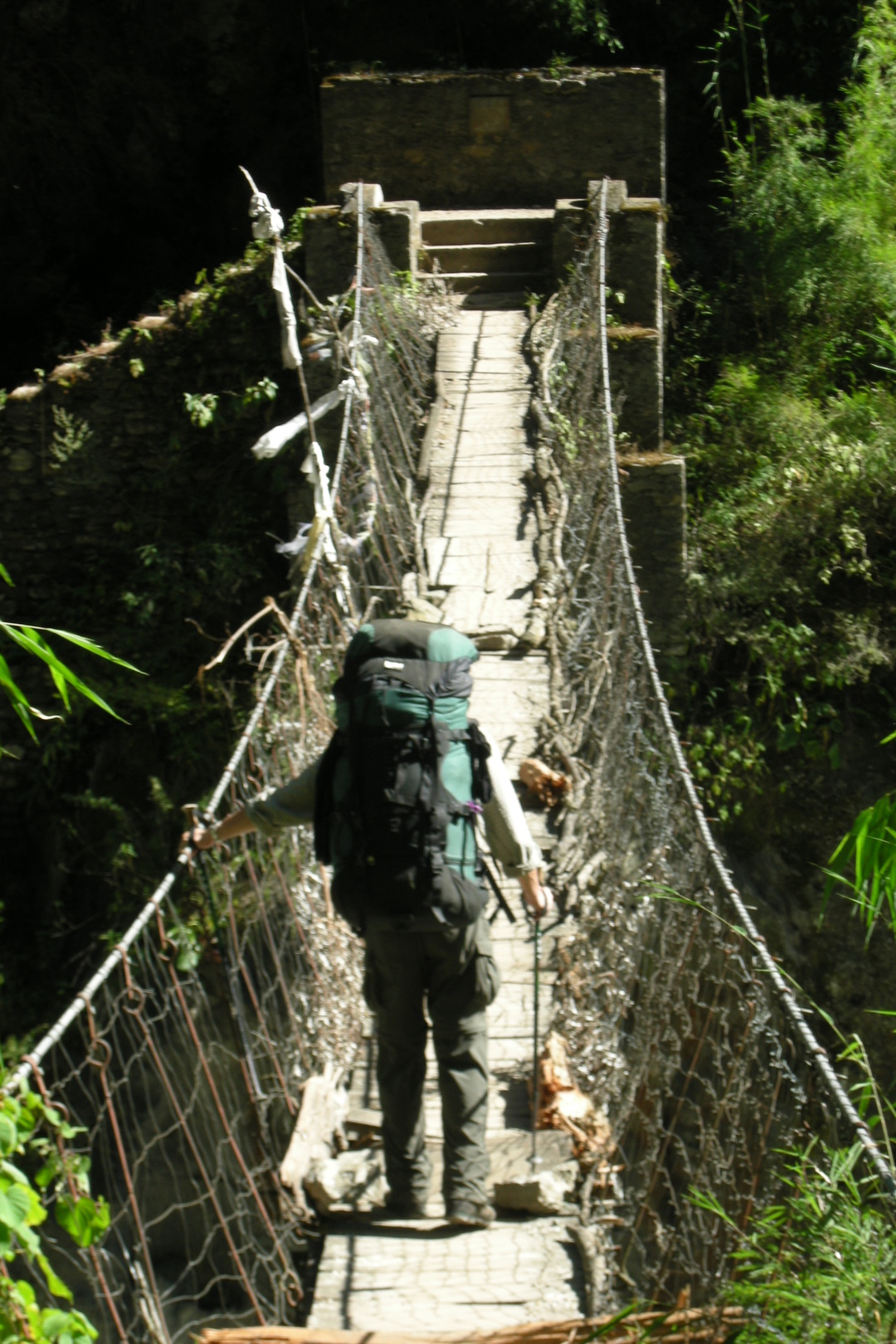 The Budhi Gandaki gorge by Nyak :: the first bridge :: shaky
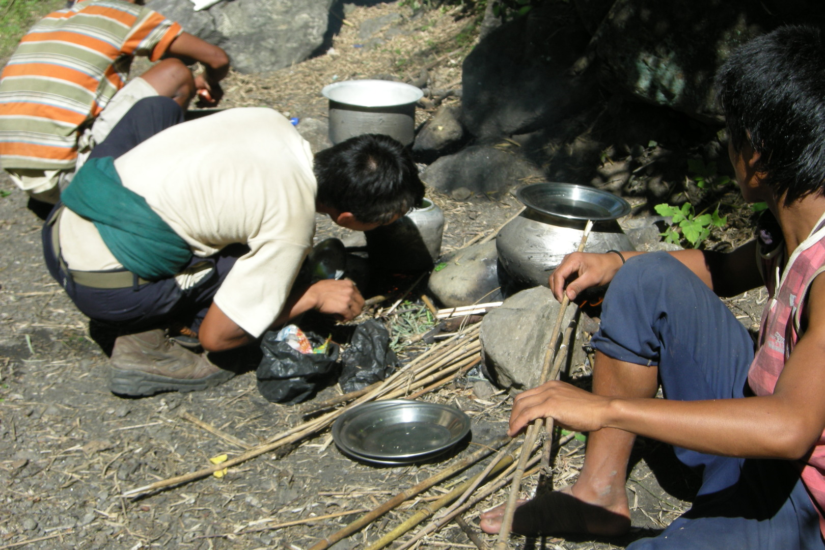 The Budhi Gandaki gorge by Pewa :: porters cooking
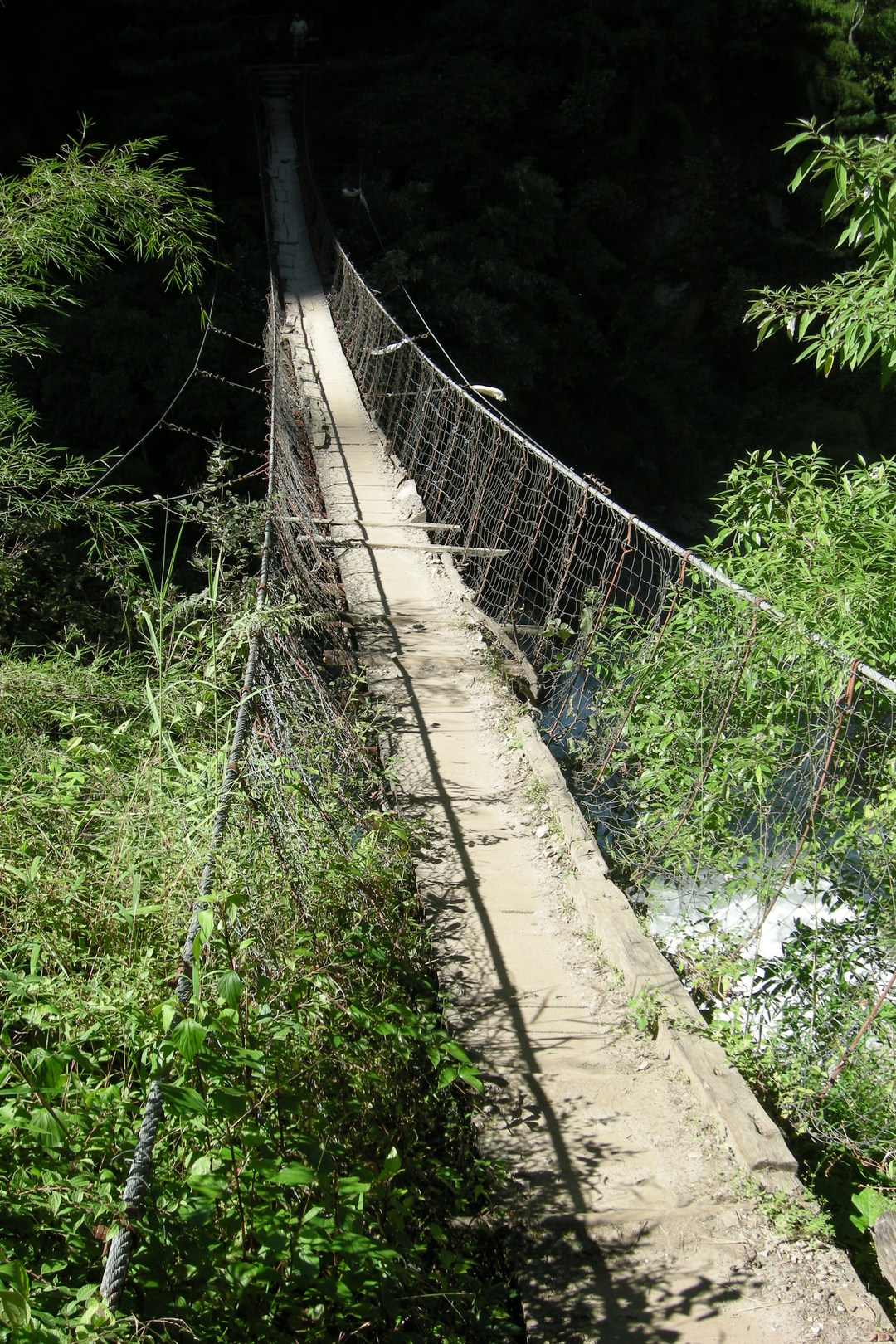 The Budhi Gandaki gorge by Pewa :: the second bridge :: oh, this one as well...
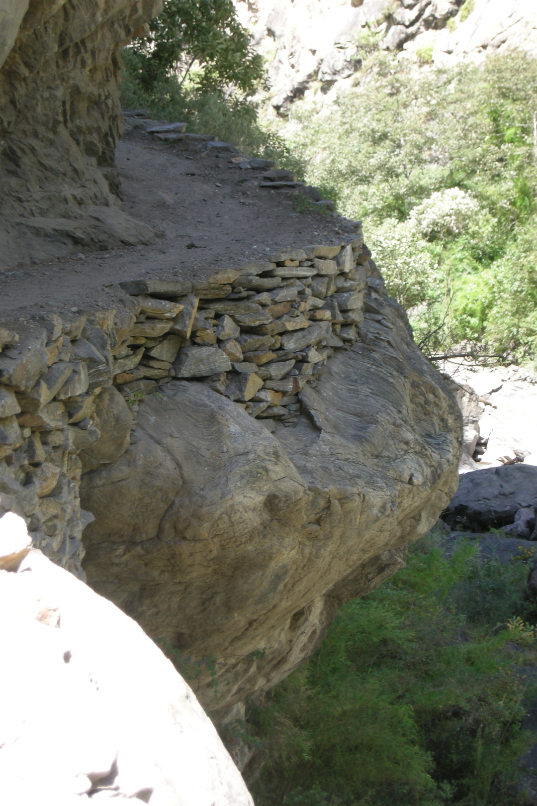 The Budhi Gandaki gorge by Pewa :: the trail
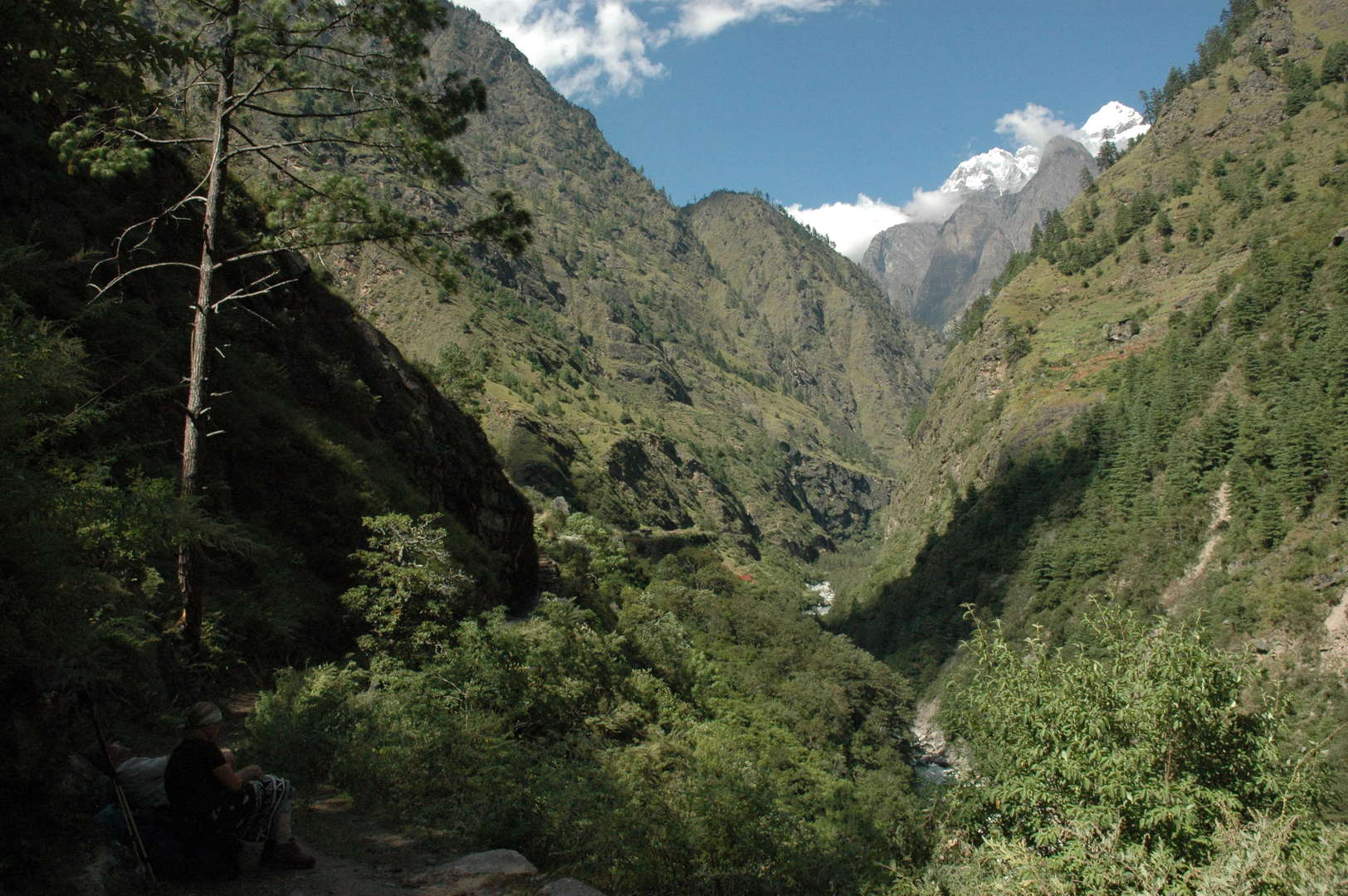 The Budhi Gandaki gorge by Pewa :: the view north :: the Tibetan border mountains
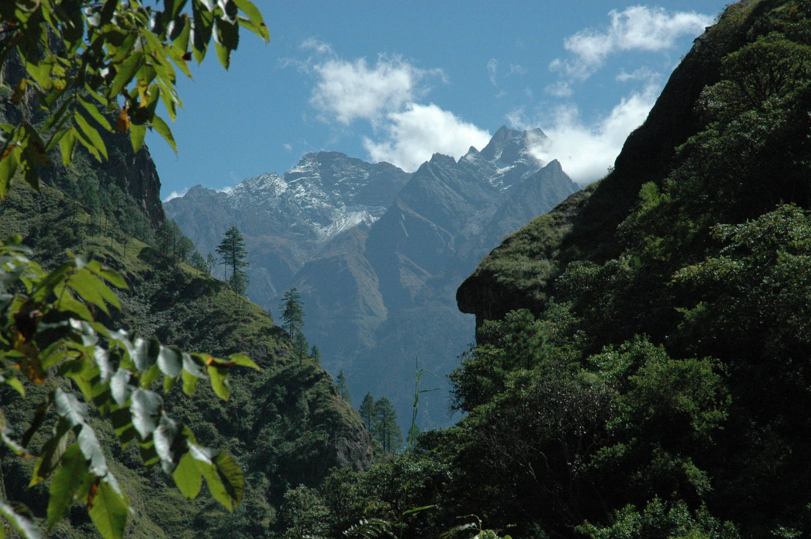 The Budhi Gandaki gorge by Pewa :: the view east :: the Ganesh Himal
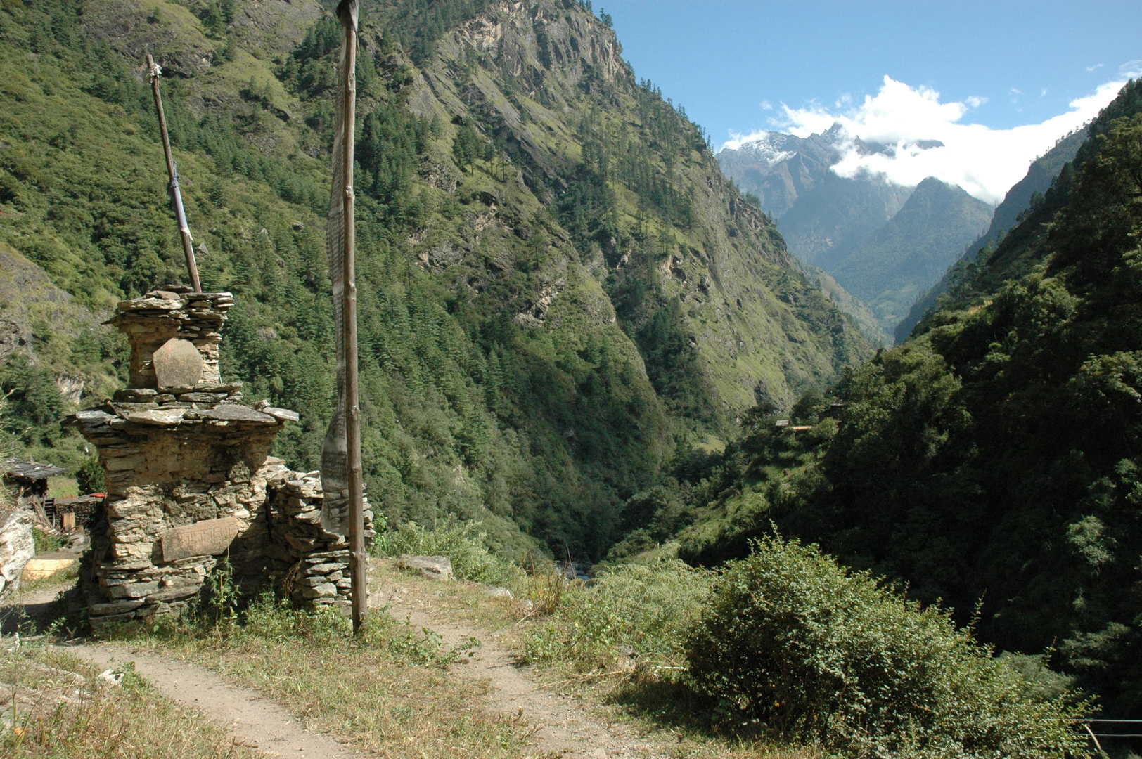 Deng :: the entrance chorten
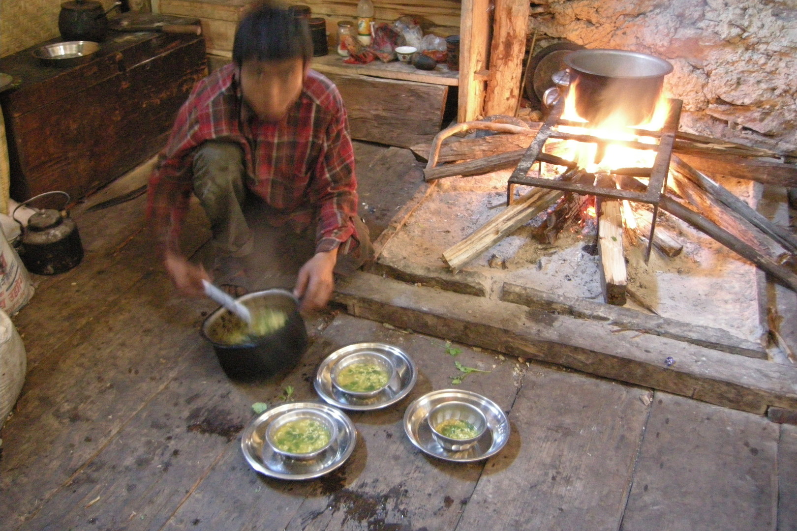 Deng :: the noodle soup is ready
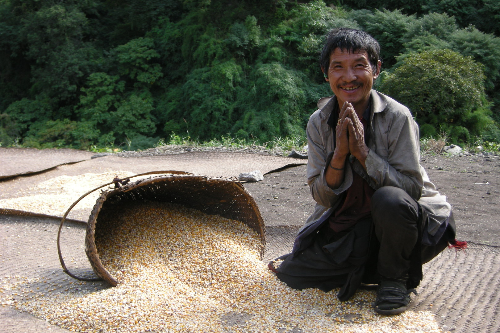 Deng :: Namaste!
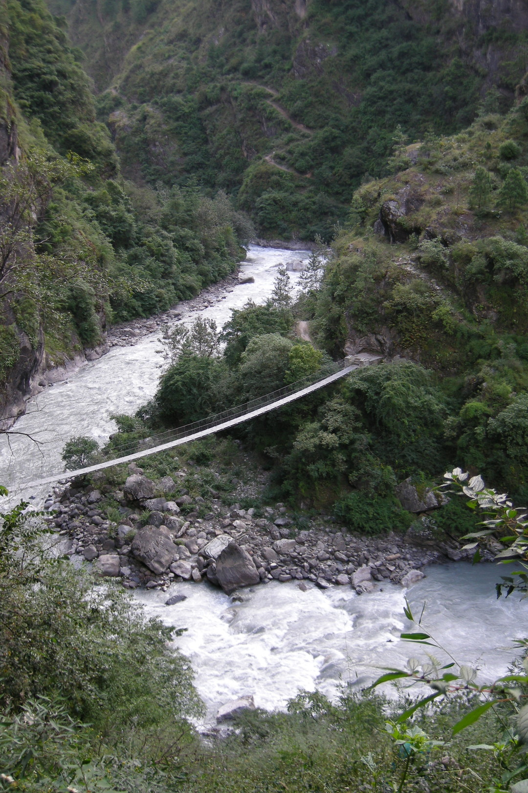 Ranagaon :: the third bridge and the trail from Deng
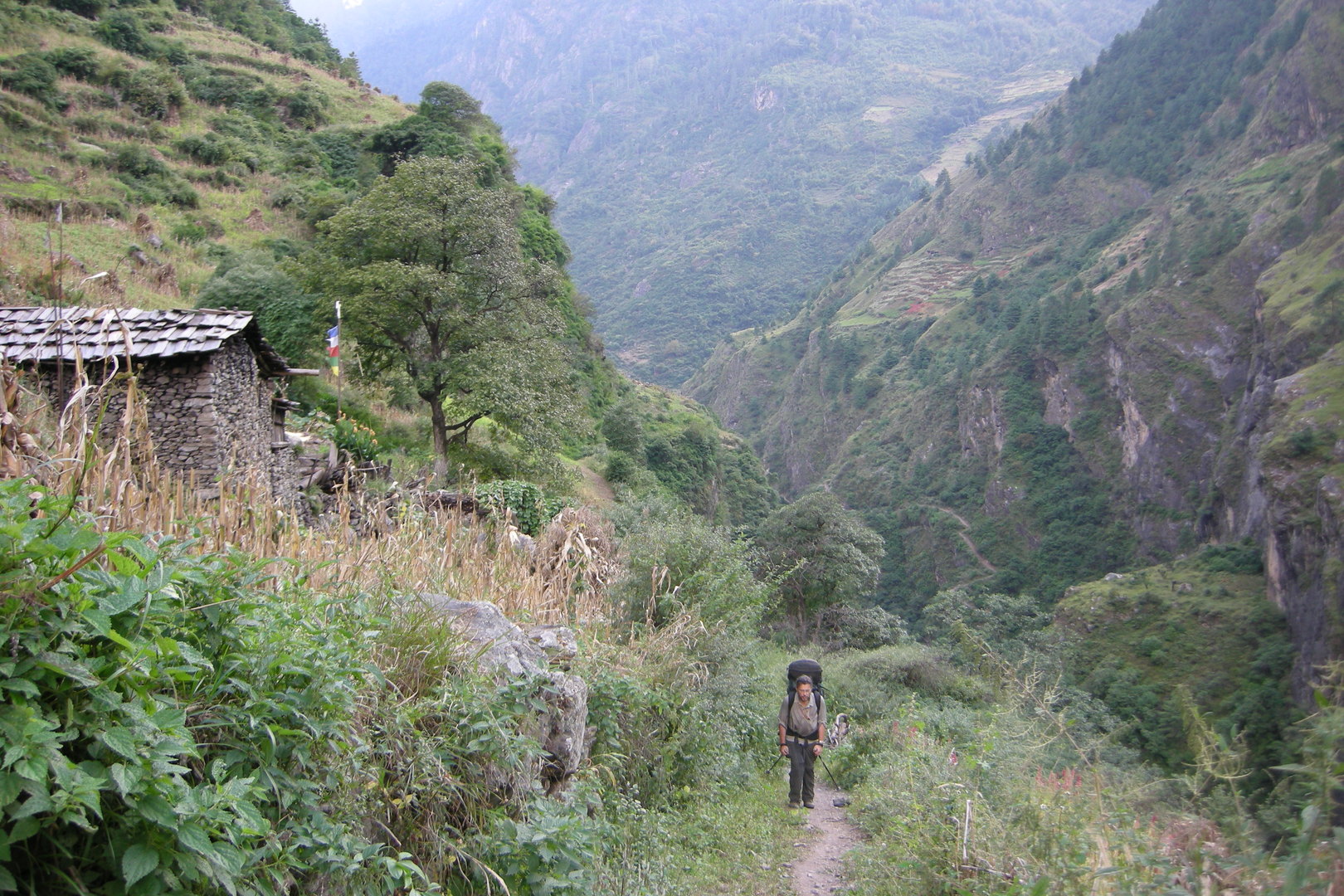 Ranagaon :: just climbed to the village, Deng fields behind
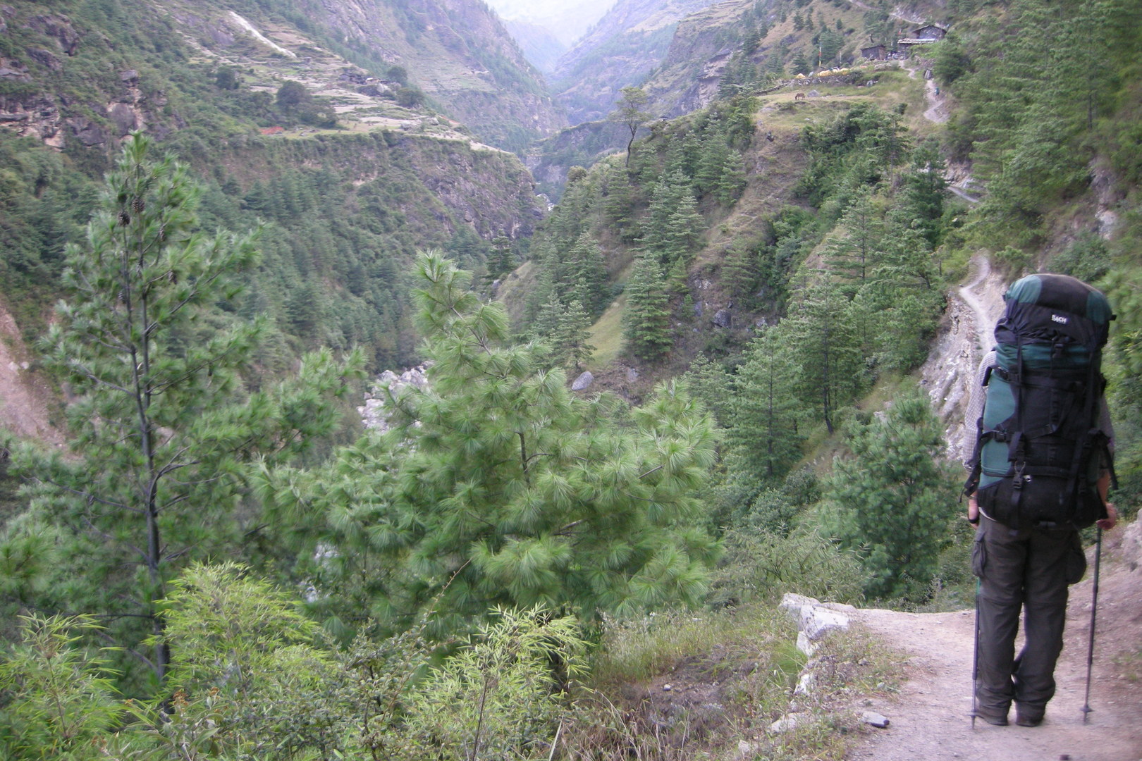 Bihi Phedi :: traversing to the bhatti in sight, the village of Sip on the other side
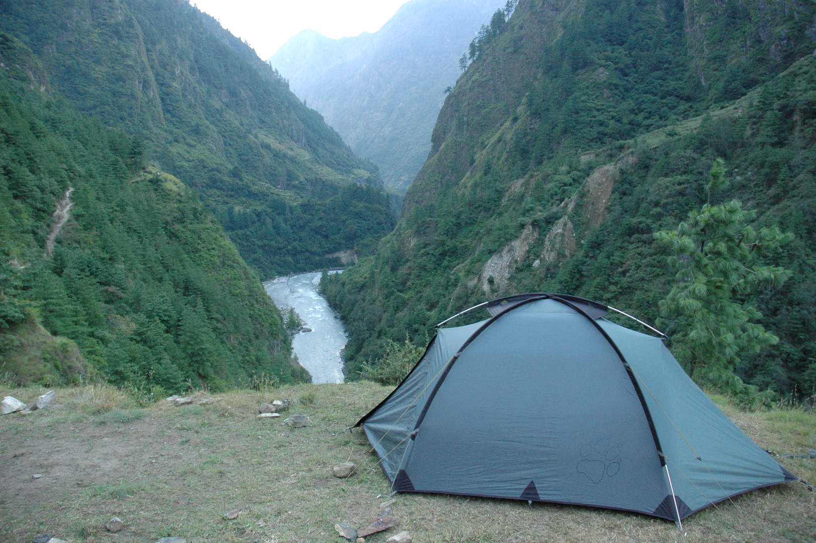 Bihi Phedi :: camped by a steep slope
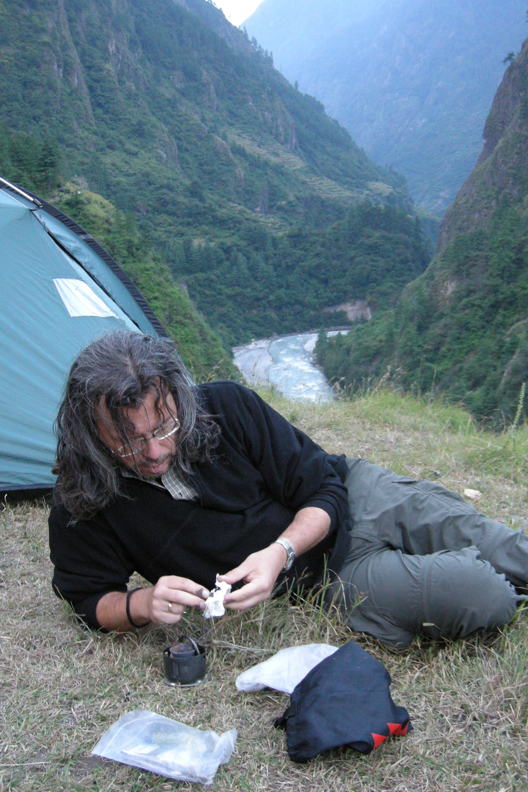 Bihi Phedi :: repair in despair :: the stove clogged
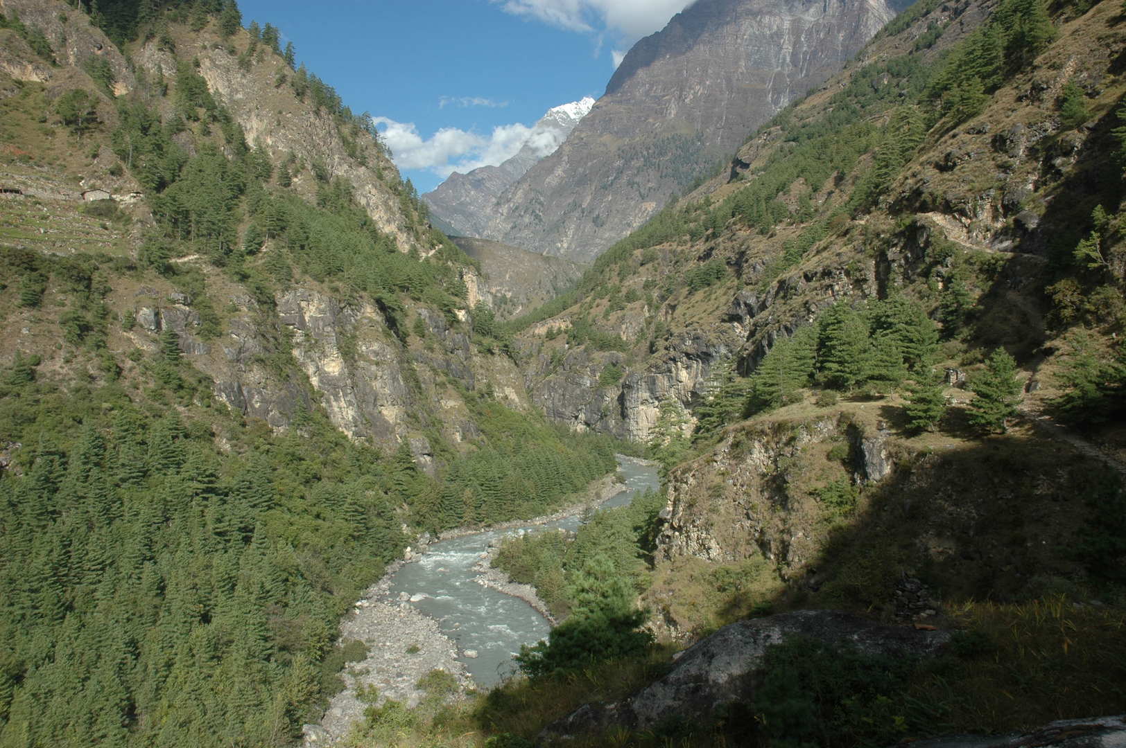 West of Bihi :: The Budhi Gandaki valley leads now westwards
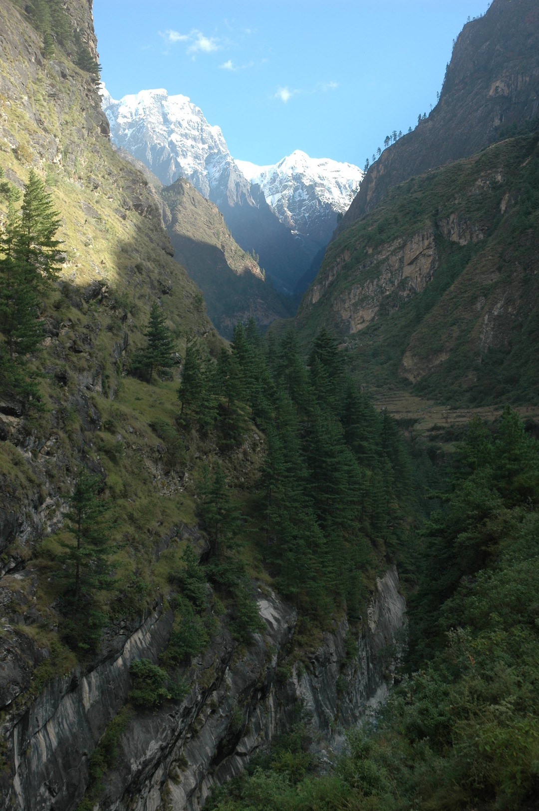 West of Bihi :: looking north, up the Serang Khola gorge
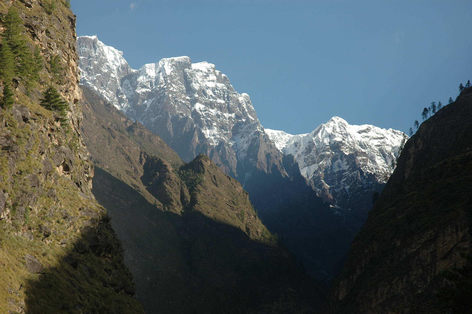 West of Bihi :: Dwijen Himal, mountains on the Tibetan border
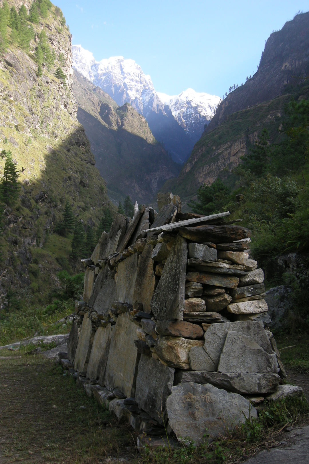 West of Bihi :: mani walls are already everywhere
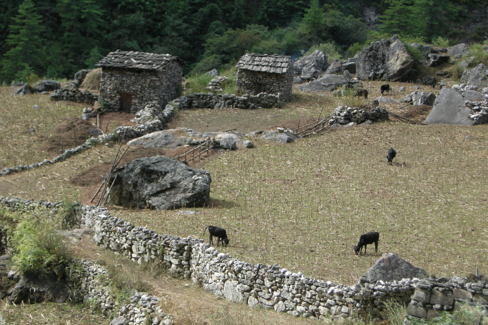 Bur :: fields
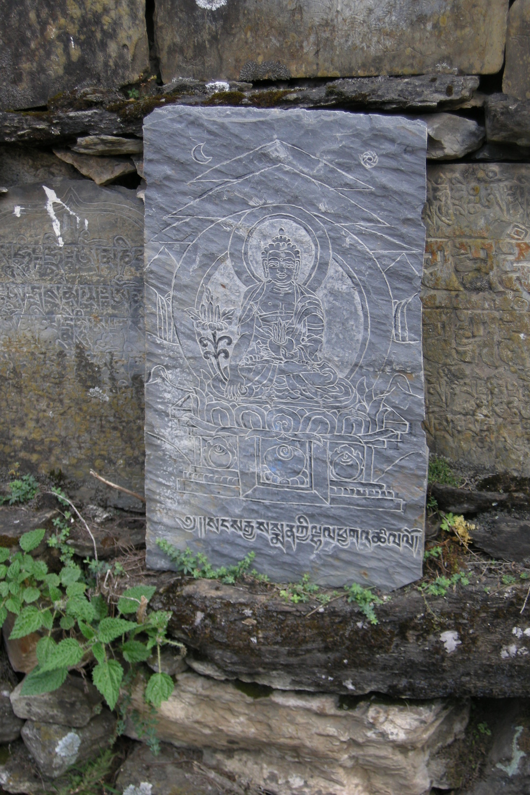 Bur :: a mani wall decorations...
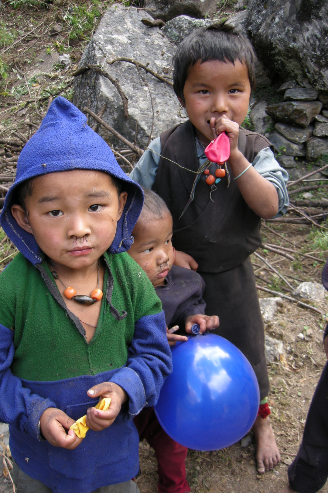 Bur :: children, balooned
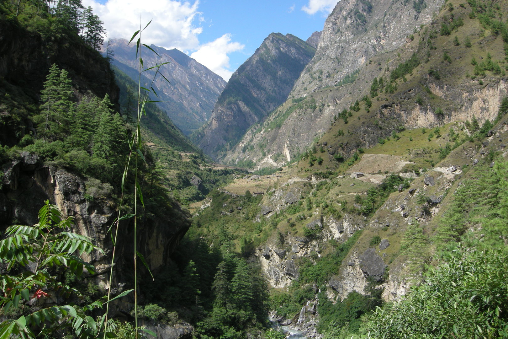 Approaching Ghap
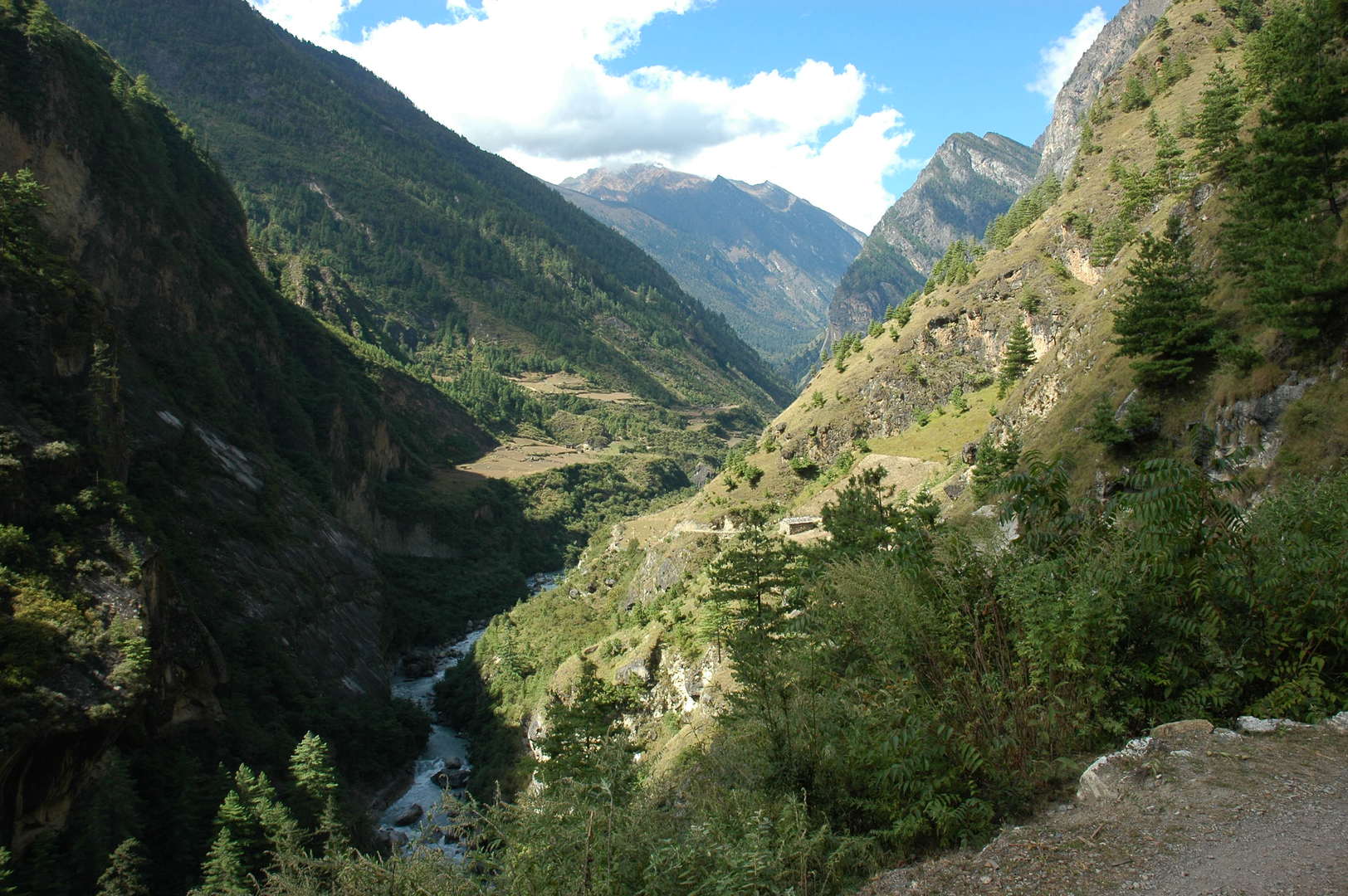 Approaching Ghap
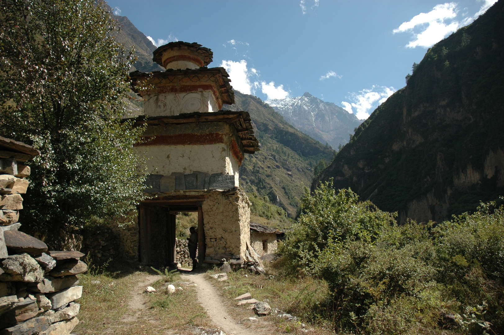 Ghap :: the exit chorten to the west
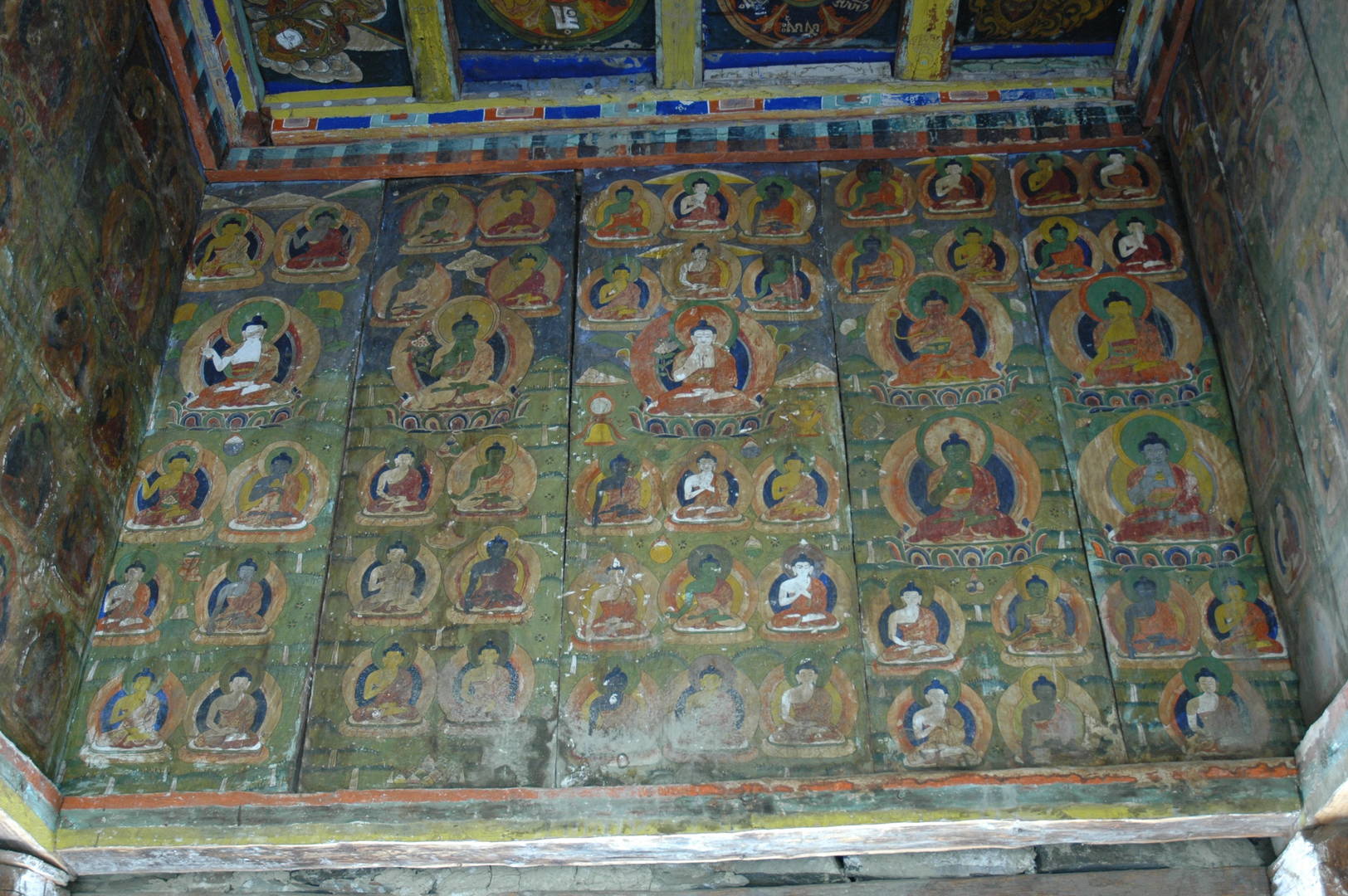 Ghap :: the exit chorten to the west :: paintings
 Ghap :: looking east
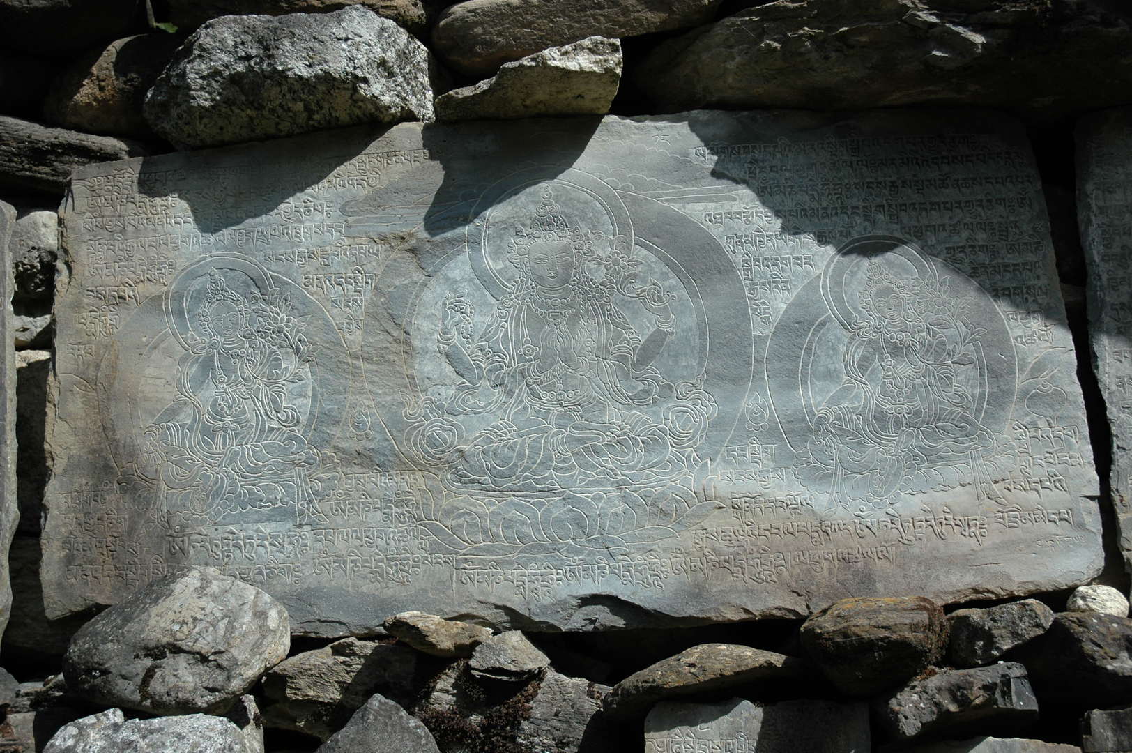 Ghap :: fine carvings on a mani wall :: Taras
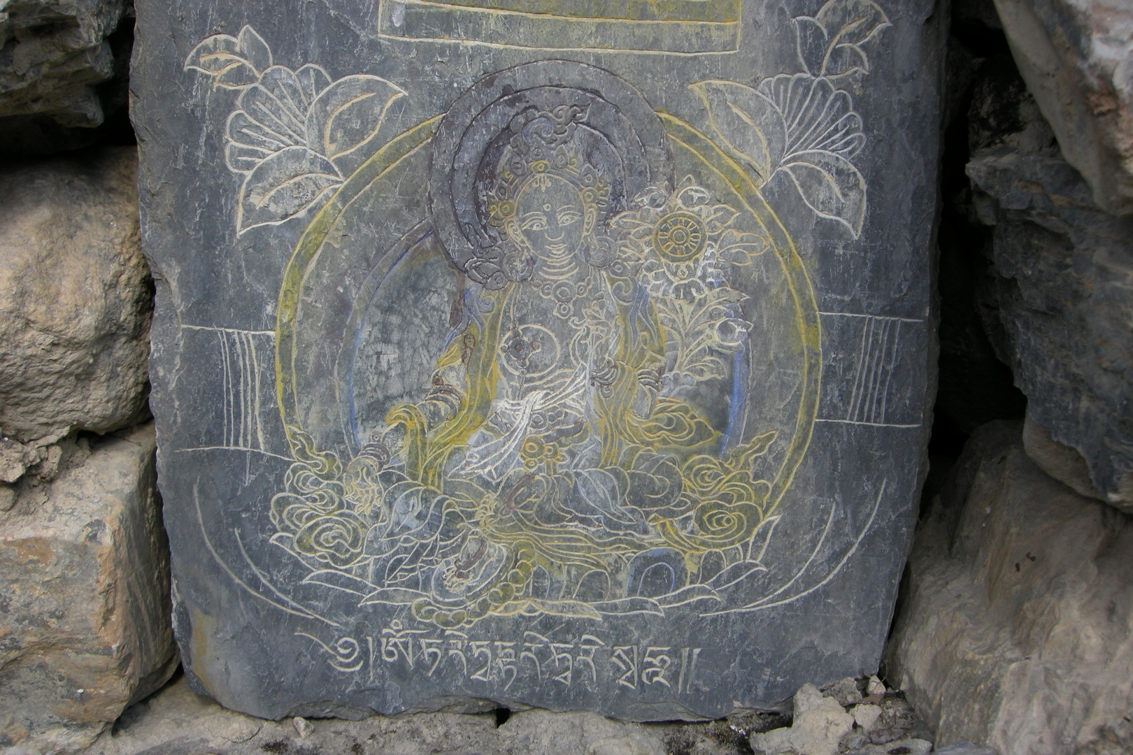 Ghapsya :: fine carvings on a mani wall :: Tara
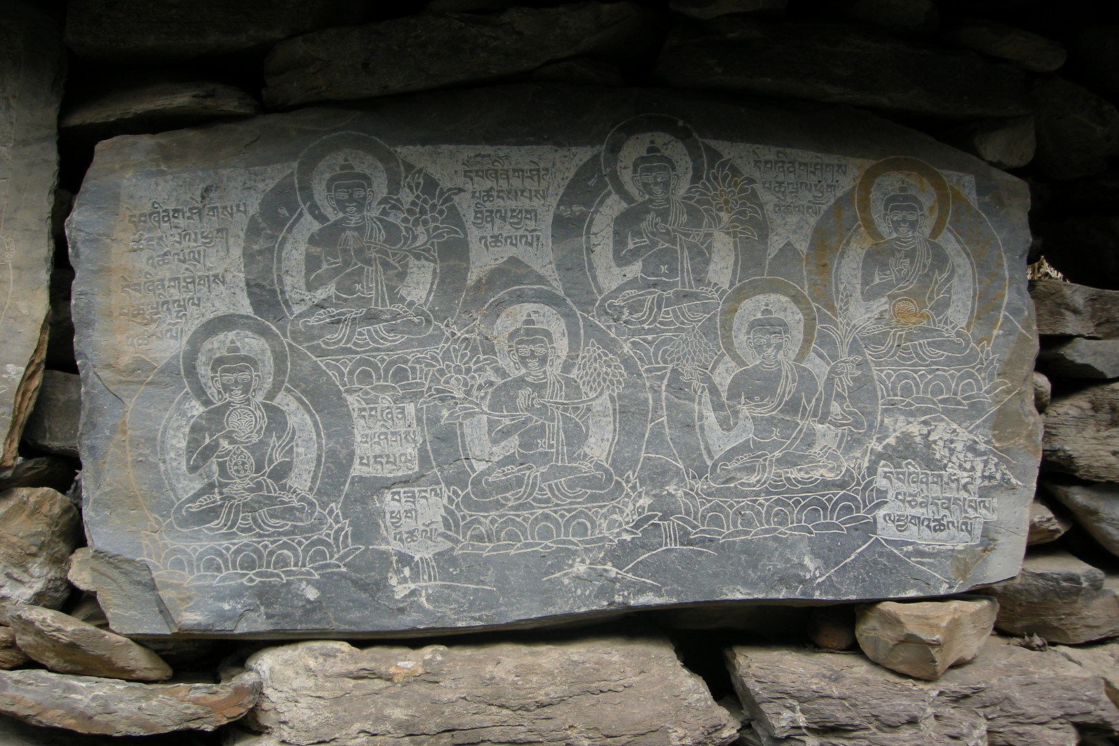 Ghapsya :: fine carvings on a mani wall :: Buddhas
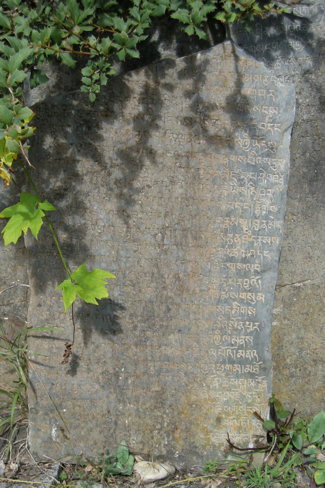 Ghapsya :: fine carvings on a mani wall :: the holy texts...
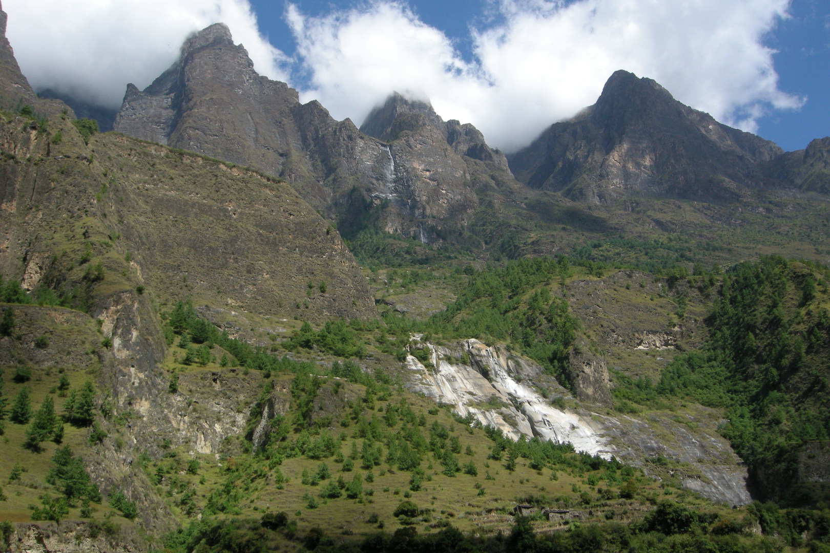 Ghapsya :: mountains north of Gap - Tanji Himal
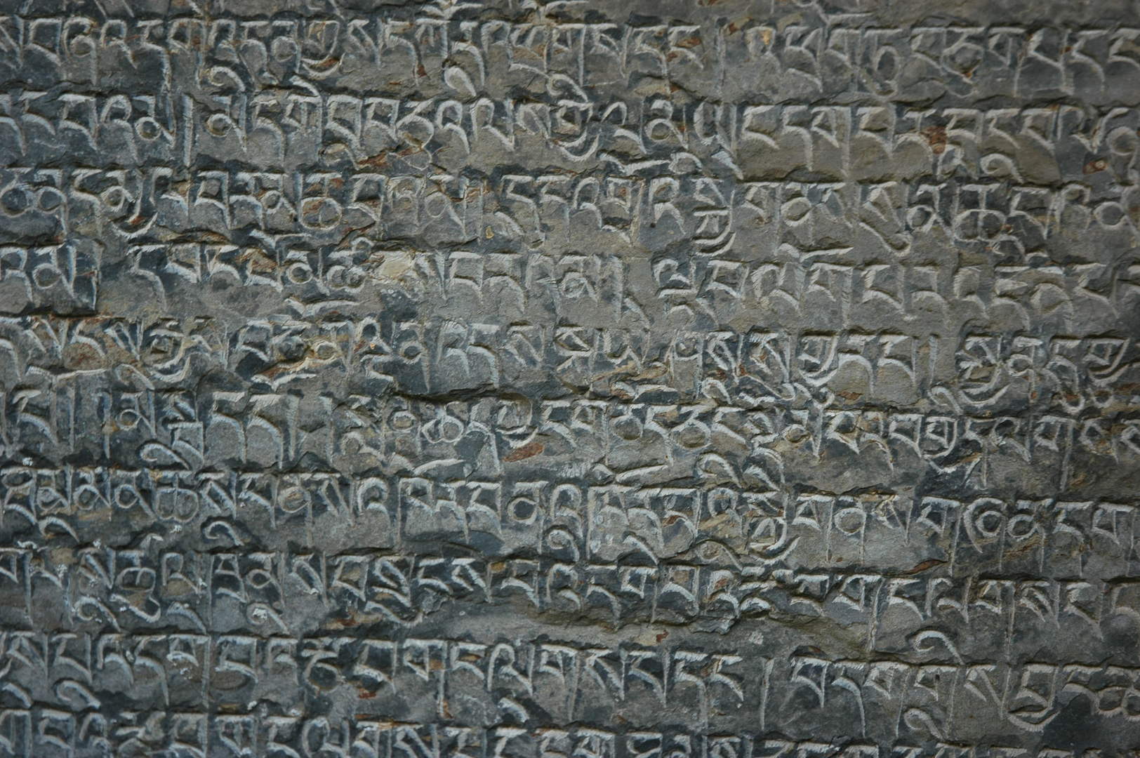 Ghapsya :: scripture...
 Ghapsya :: and the vein...
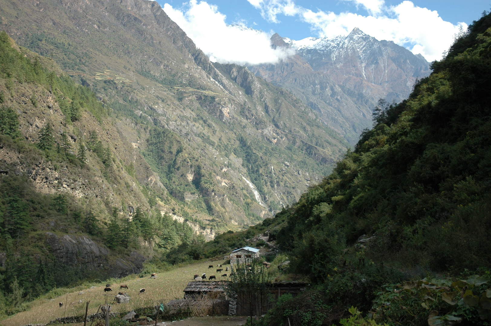 Ghapsya :: looking east :: the Sringi Himal
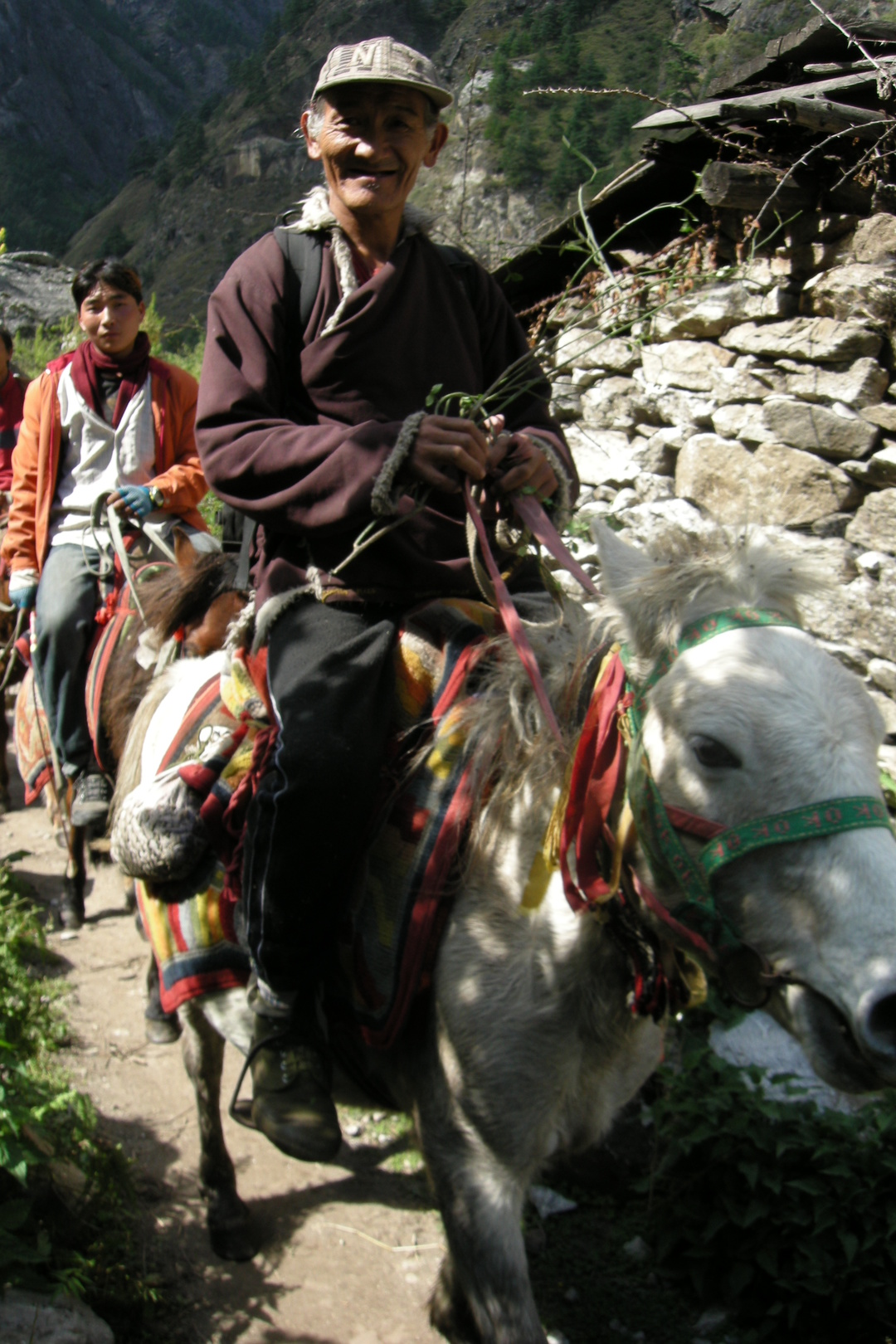 Ghapsya :: riders
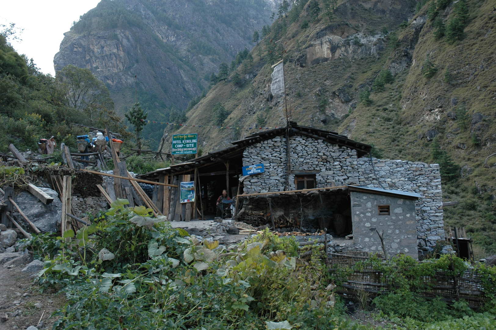 Ghapsya :: Hotel Kyimolung :: get involed: www.projectlama.org
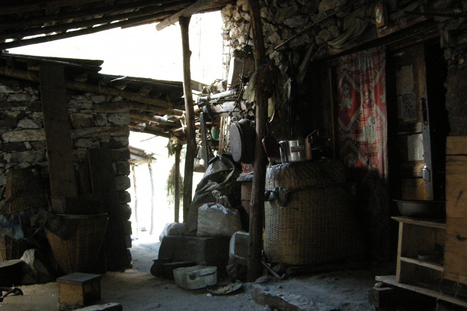 Ghapsya :: Hotel Kyimolung :: household
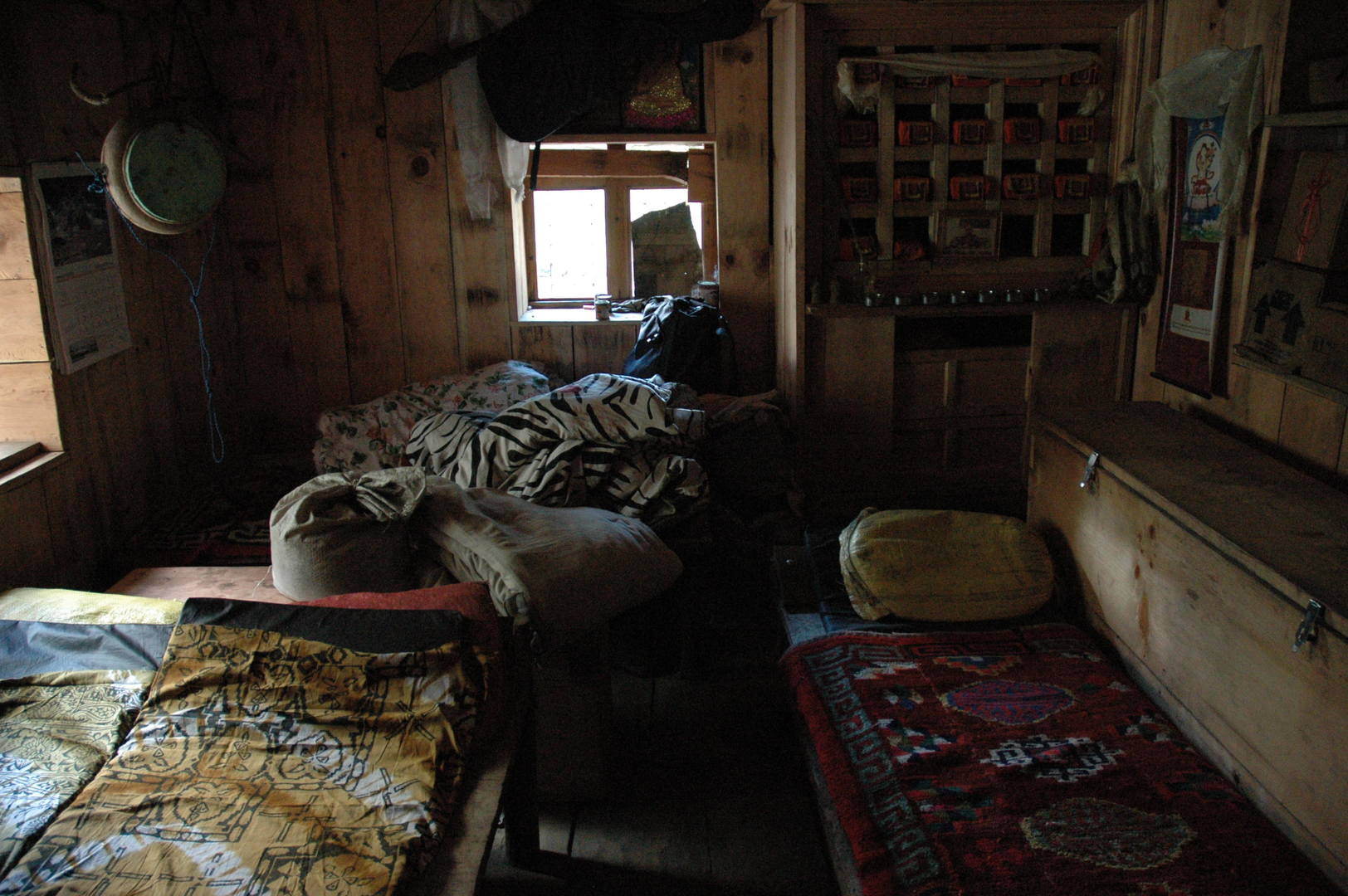 Ghapsya :: Hotel Kyimolung :: sleeping in the prayer room
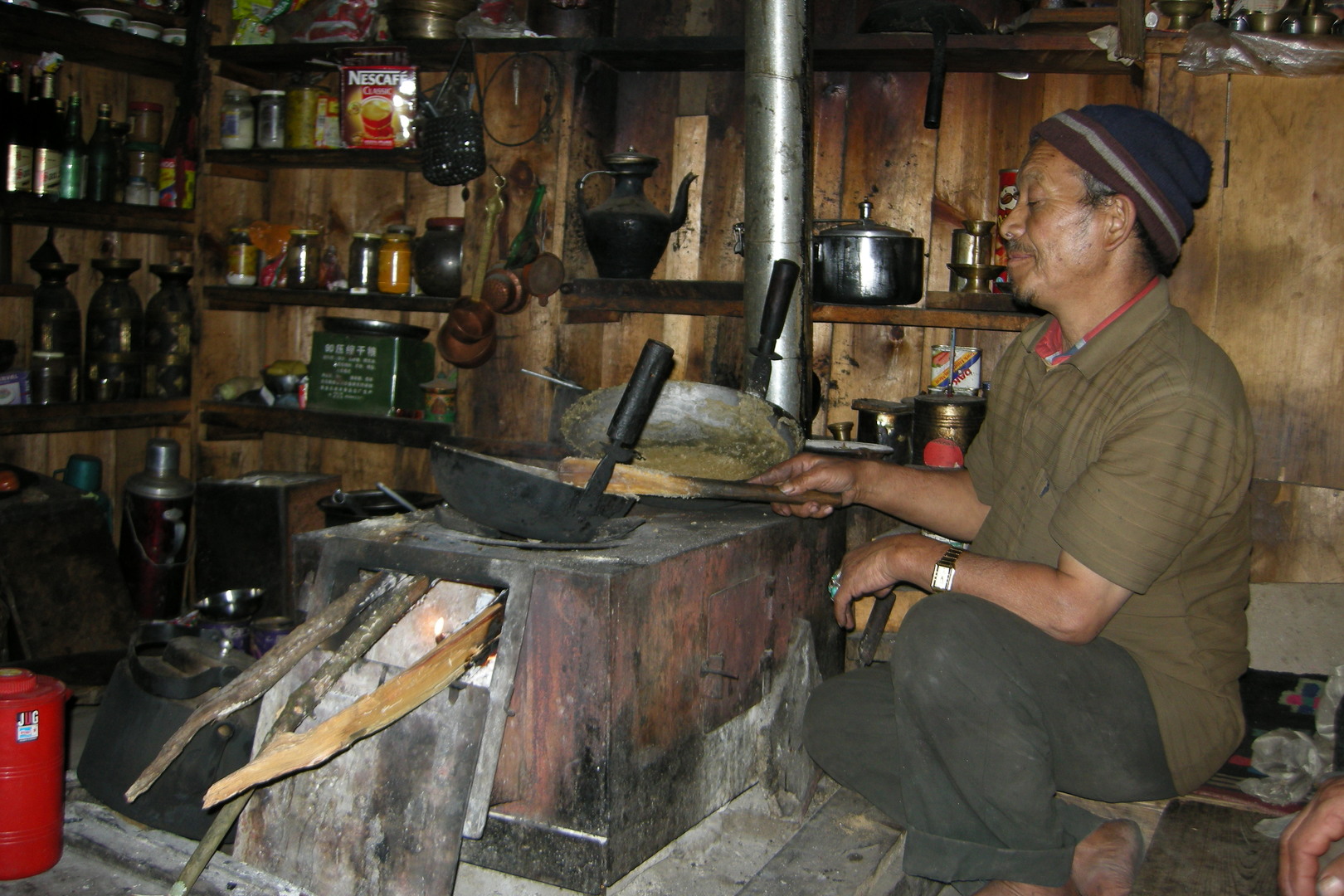 Ghapsya :: Hotel Kyimolung :: cooking happily
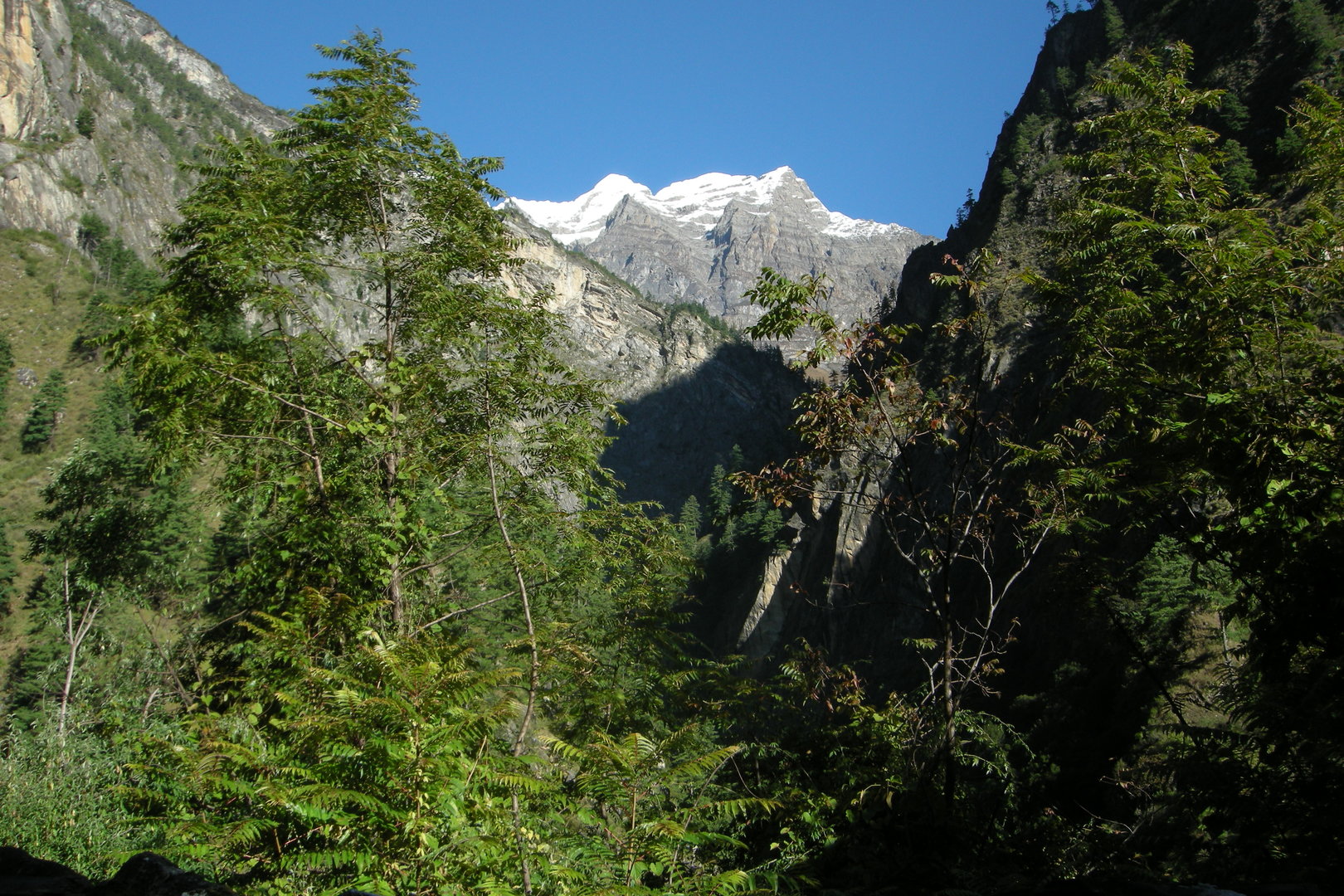 Opposite the Tom Khola valley :: its upper part in Tibet
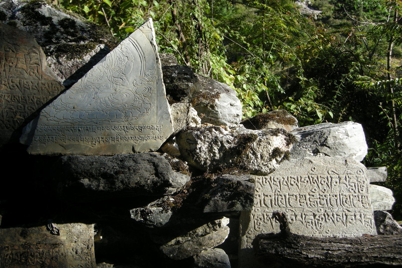 Opposite the Tom Khola valley :: mani walls
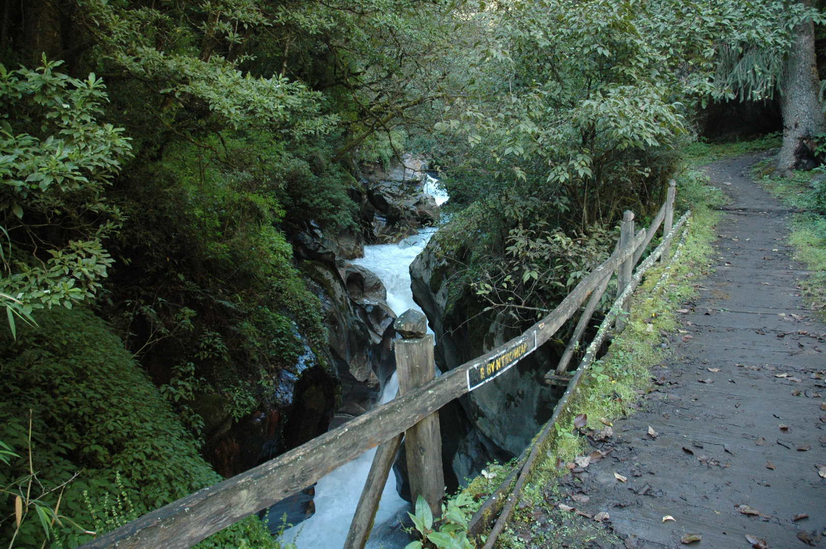 By Thorje :: the bridge almost without railings to the left Buddhi Gandaki bank
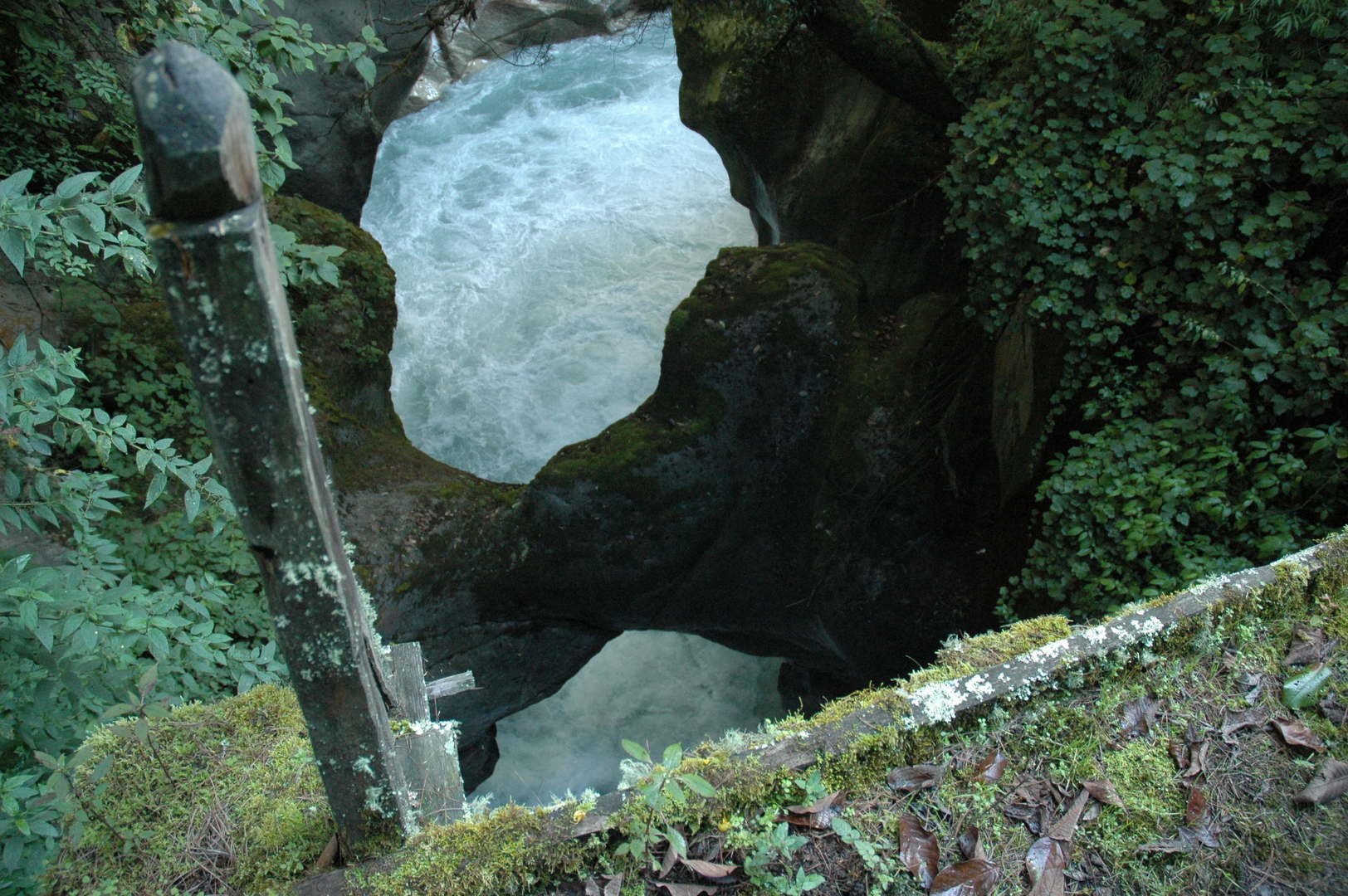 By Thorje :: the famous natural arch bridge
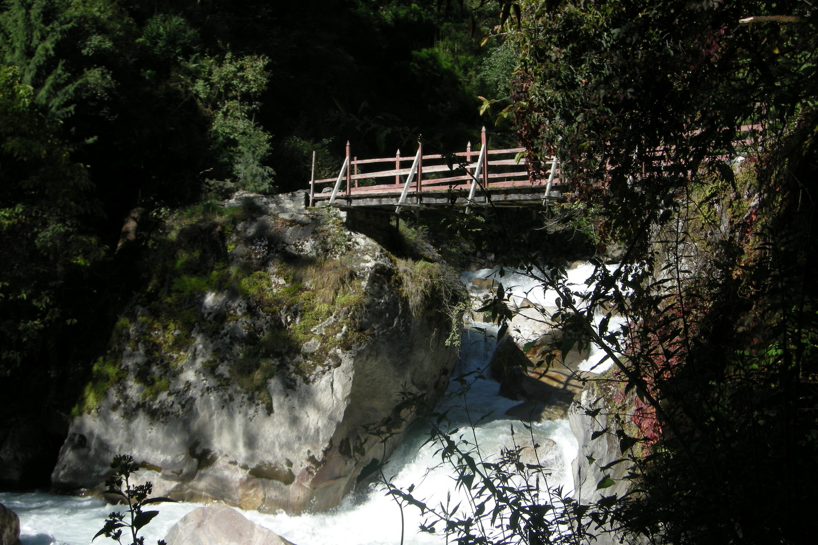 The Budhi Gandaki valley east of Namrung :: back to the right bank
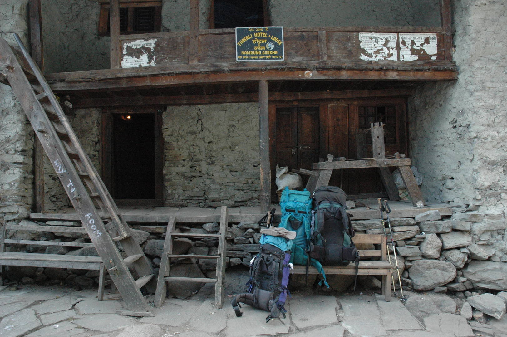 Namrung :: arrived for a lunch
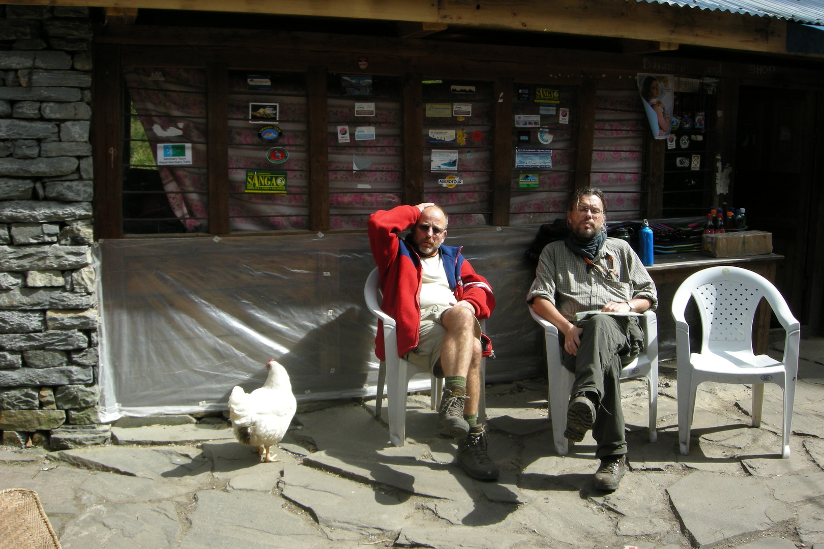 Namrung :: seated comfortably
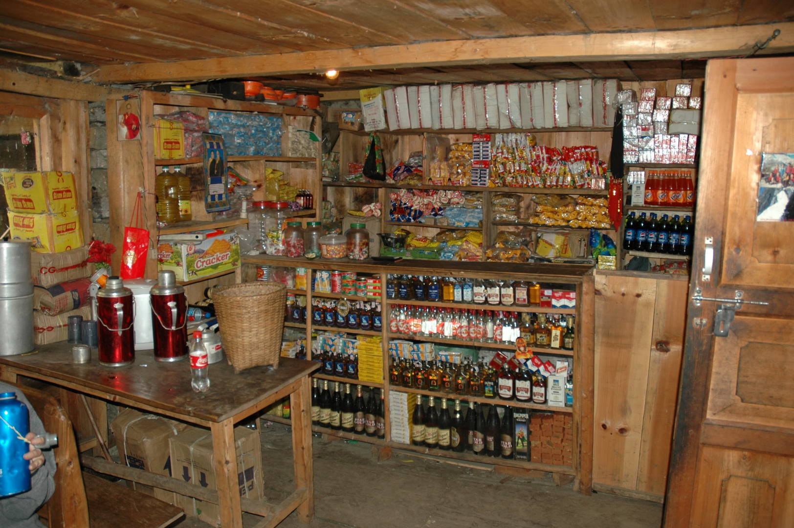 Namrung :: the rich lodge shop
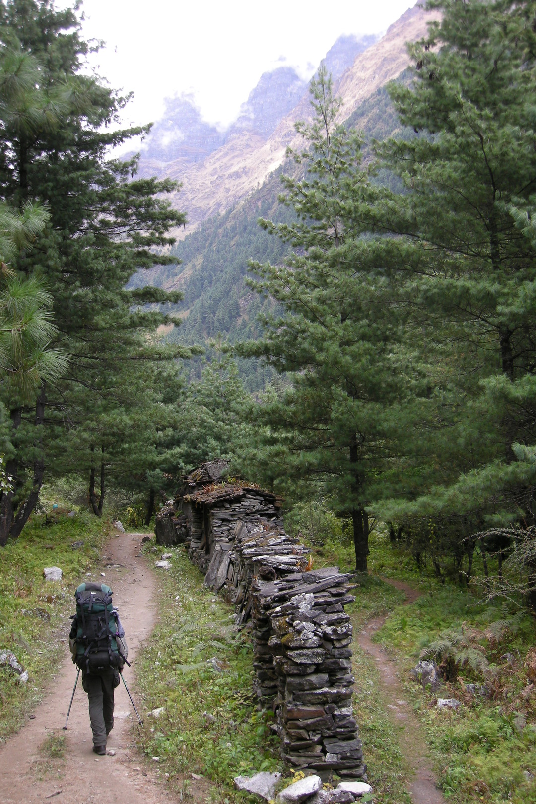 Bharjang :: mani walls
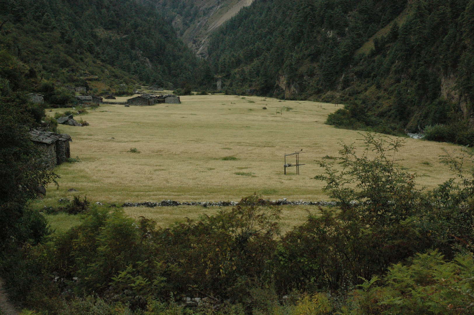 Bharjang :: fields with guarding platforms
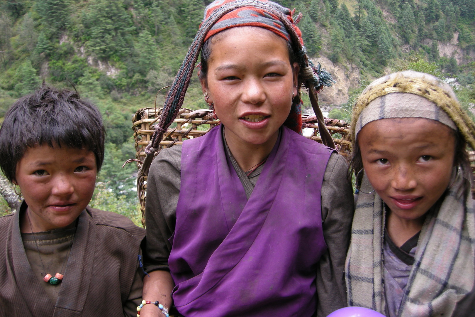 Bharjang to Lihi :: girls
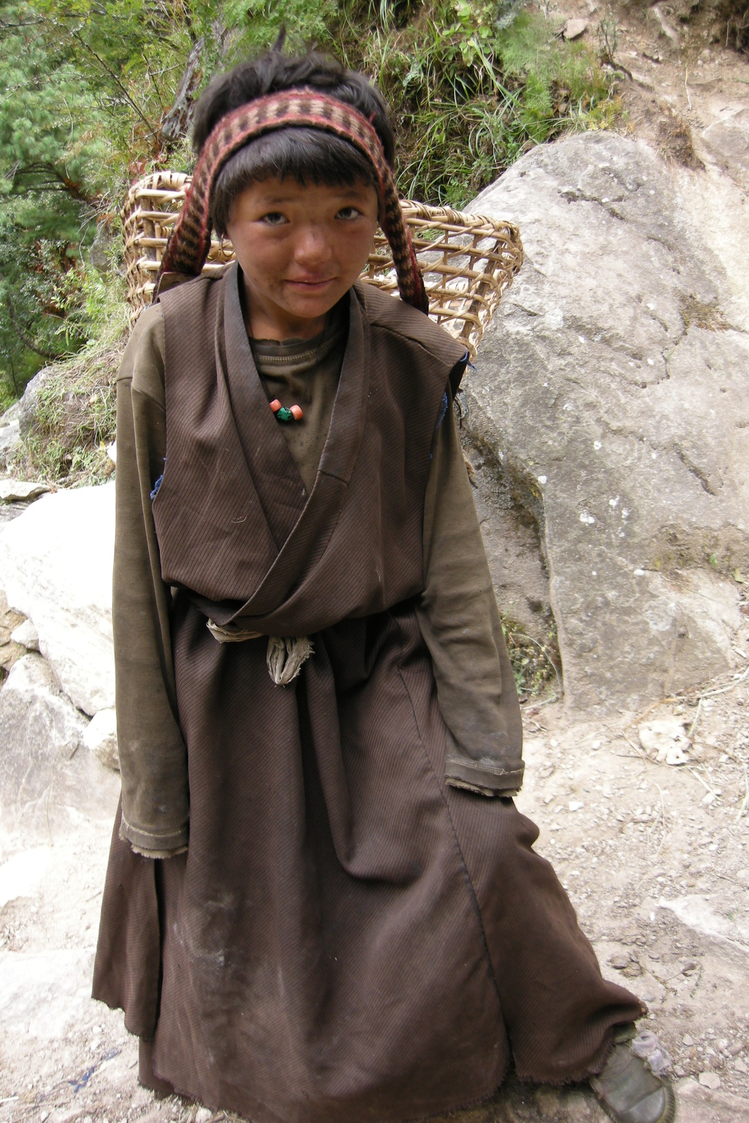 Bharjang to Lihi :: one of the girls
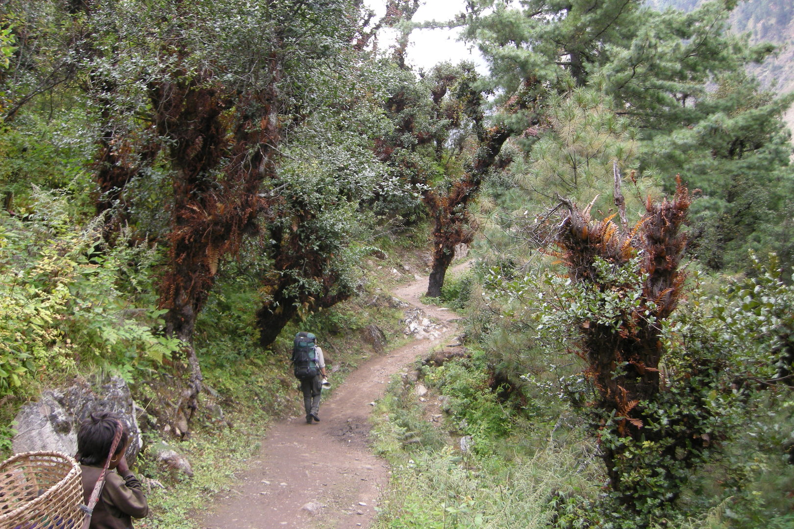 Bharjang to Lihi :: a forest stretch
 Lihi :: entering the village
 Lihi :: the village gompa
 Lihi :: houses
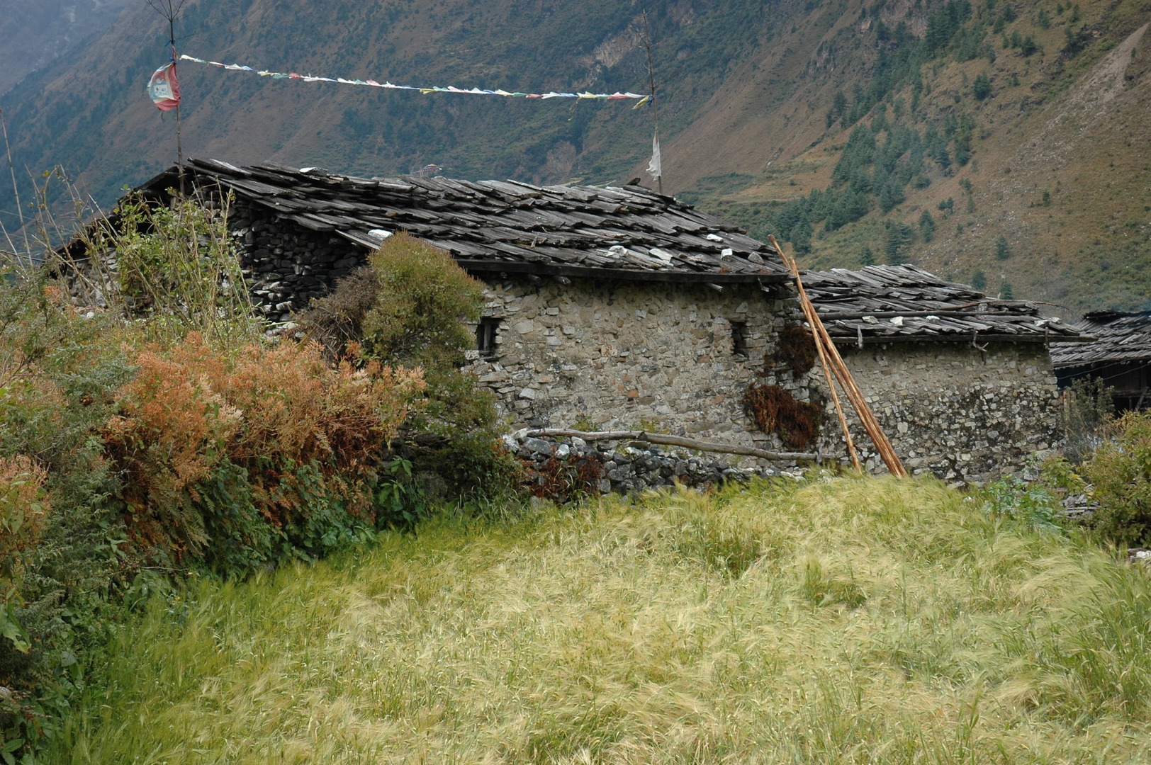 Lihi :: houses
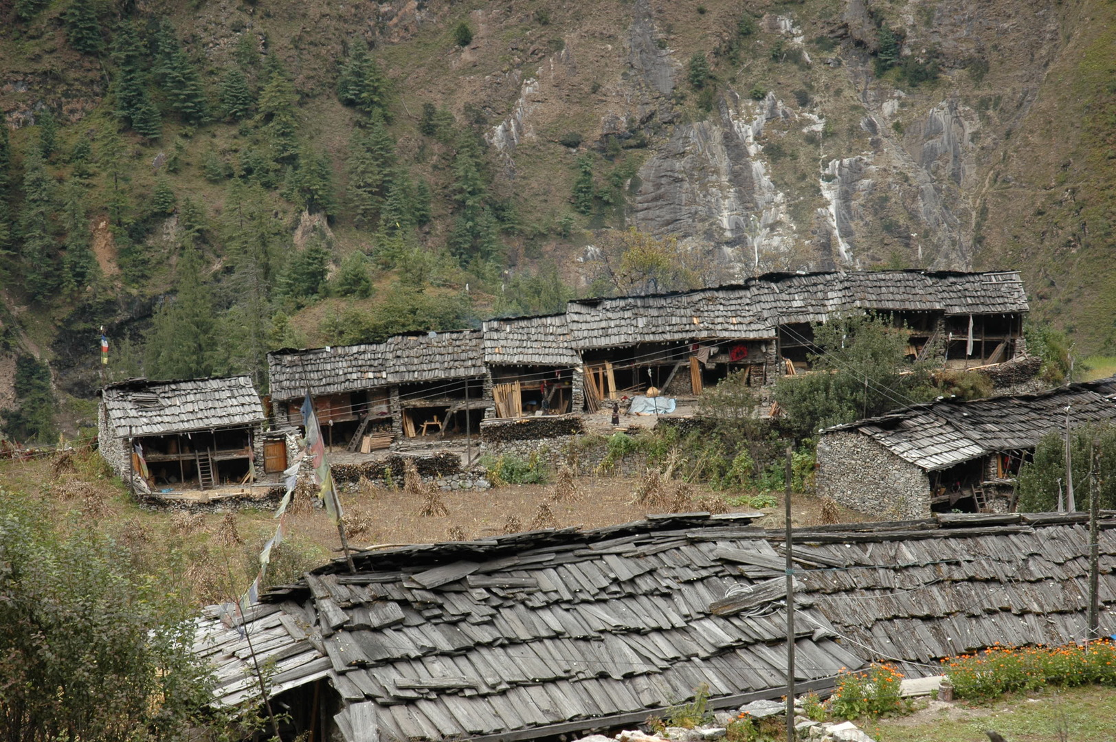 Lihi :: houses
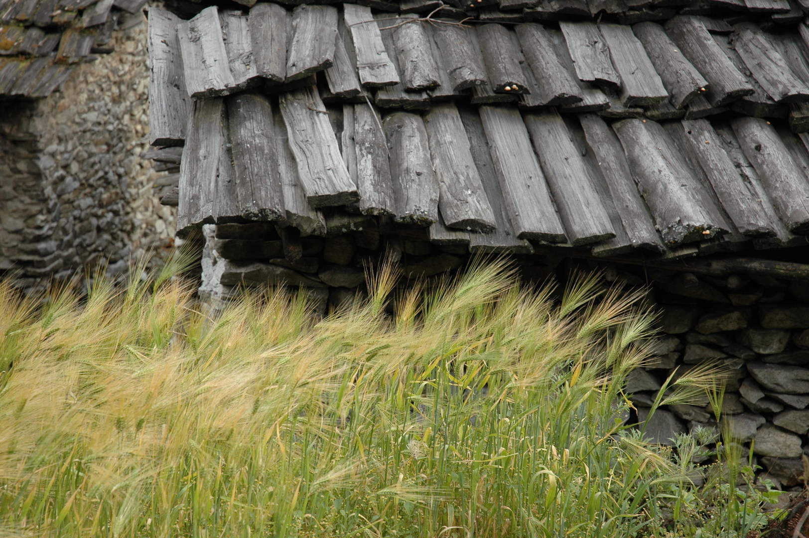 Lihi :: in the village
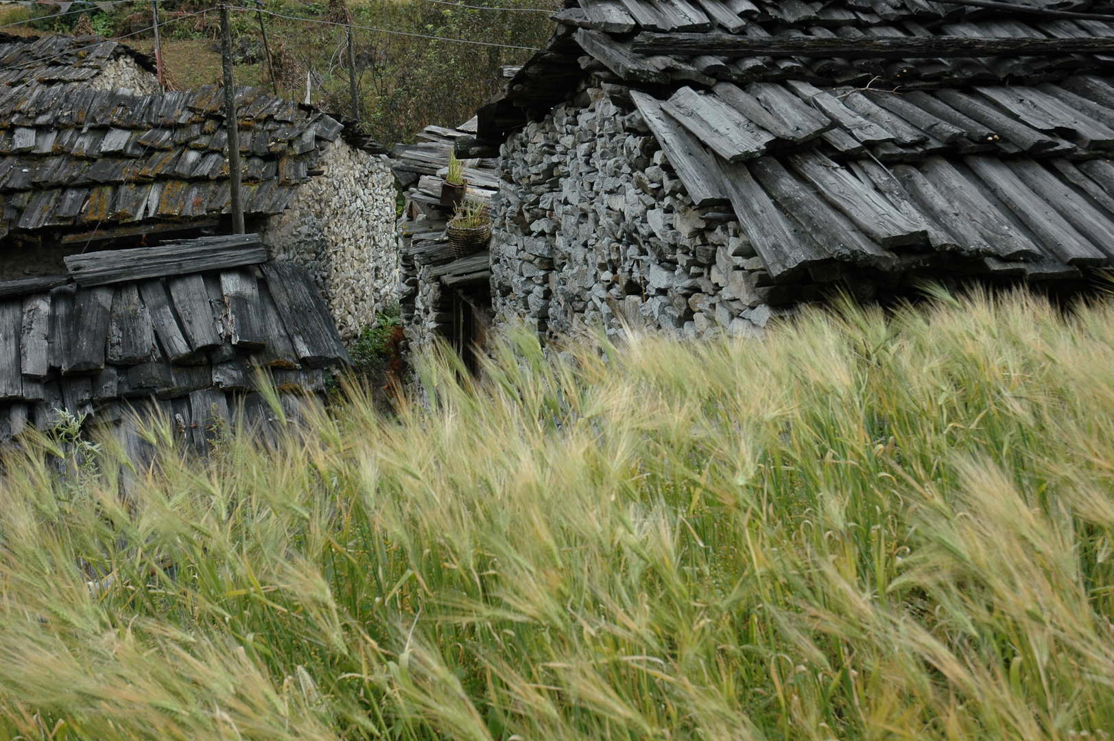 Lihi :: in the village
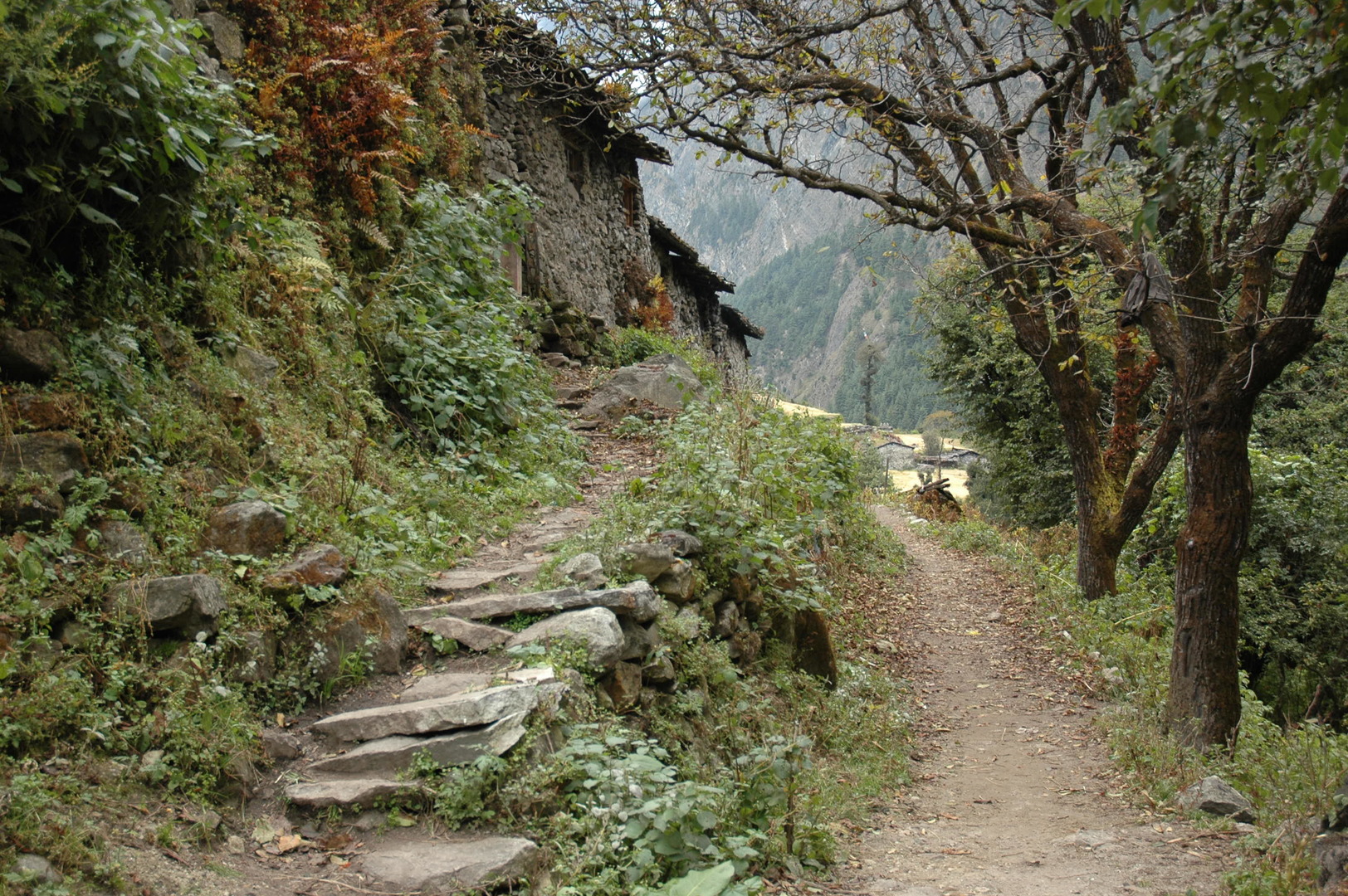 Lihi :: in the village
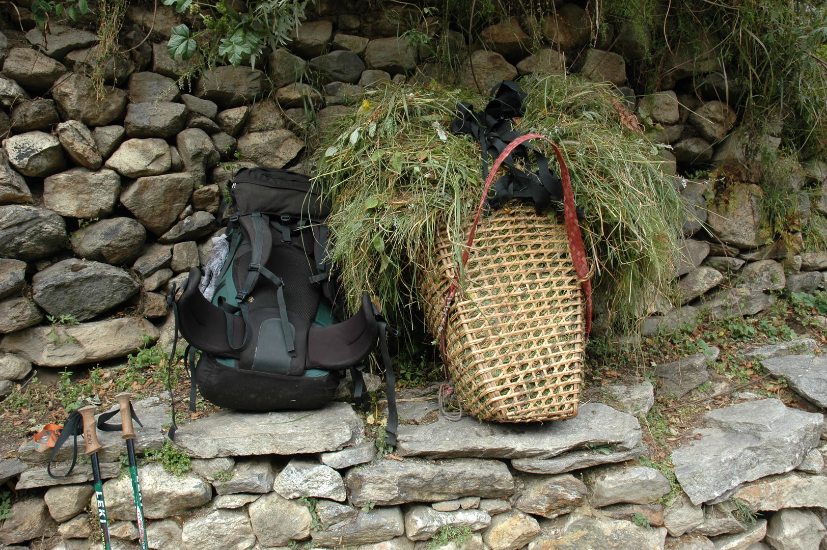 Lihi :: at a chautraraa
 Lihi :: autumn
 Lihi :: autumn
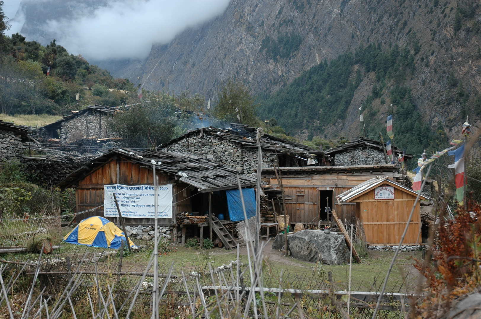 Lihi :: our lodge, we slept in the shop building to the right
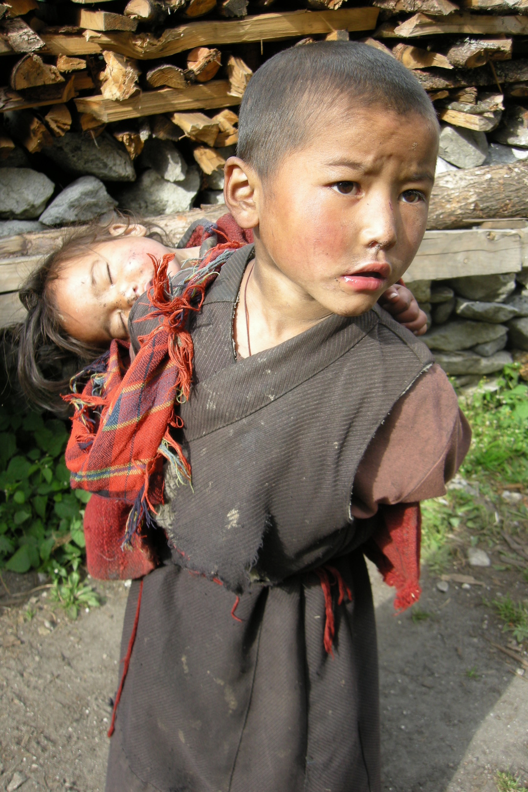 Lihi :: begging children
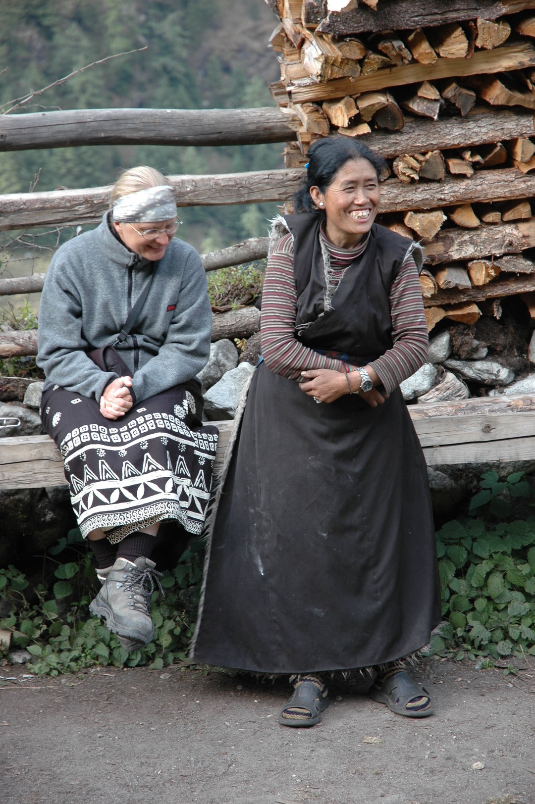 Lihi :: laughing with the lodge owner
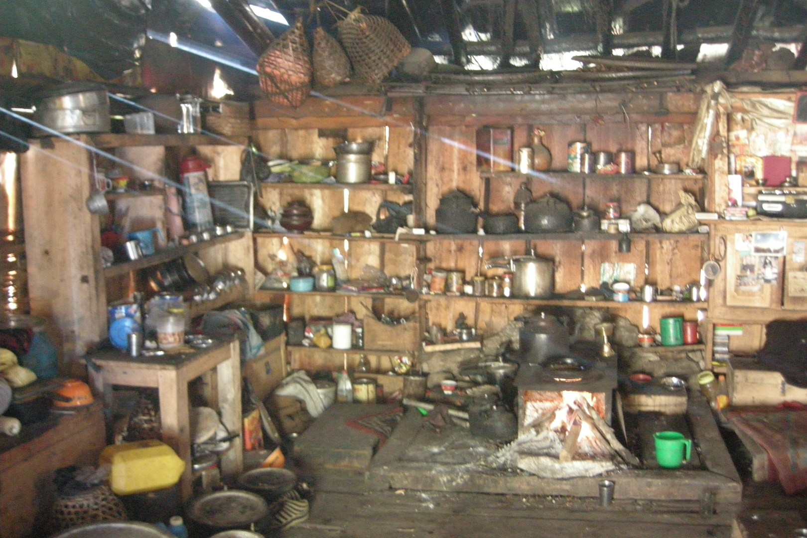 Lihi :: our hostess kitchen
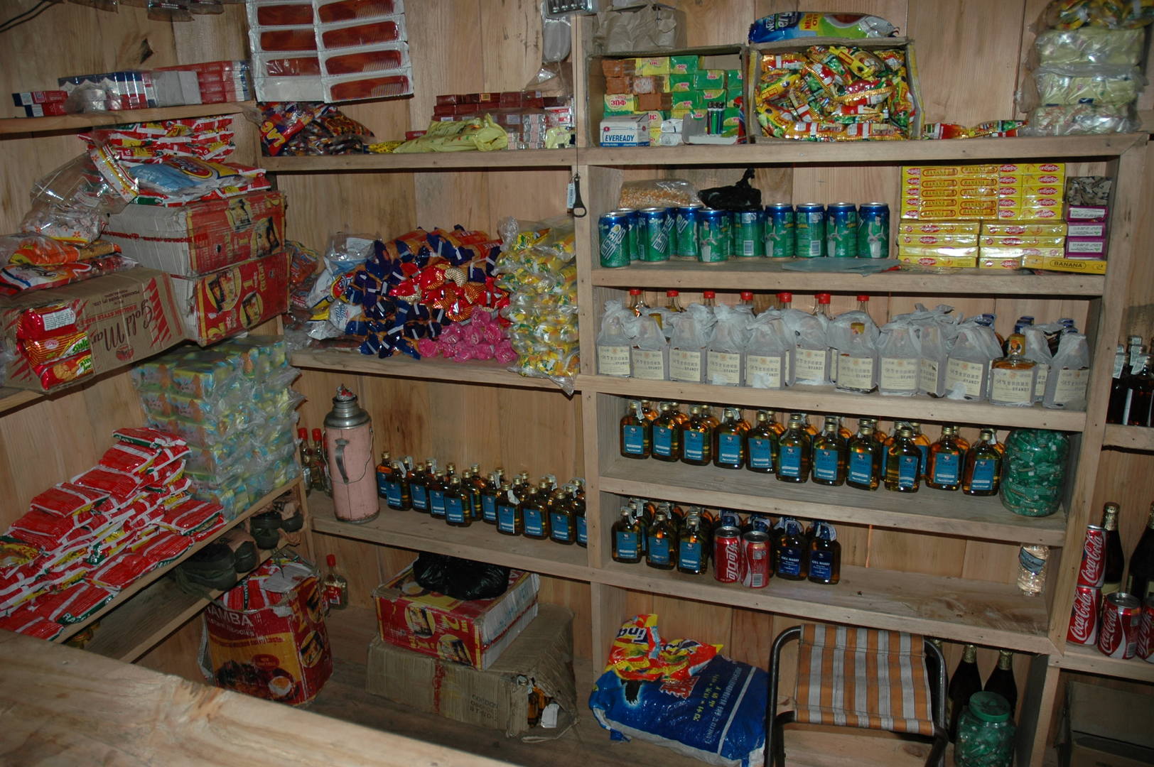 Lihi :: the shop we have slept in
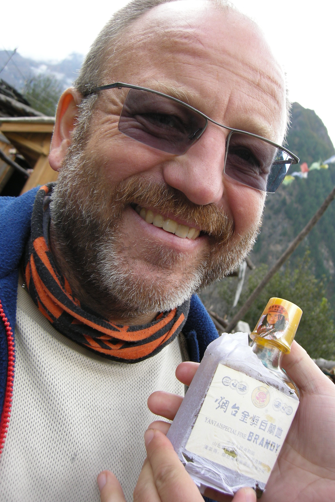 Lihi :: if they do care to smuggle, we do care to drink
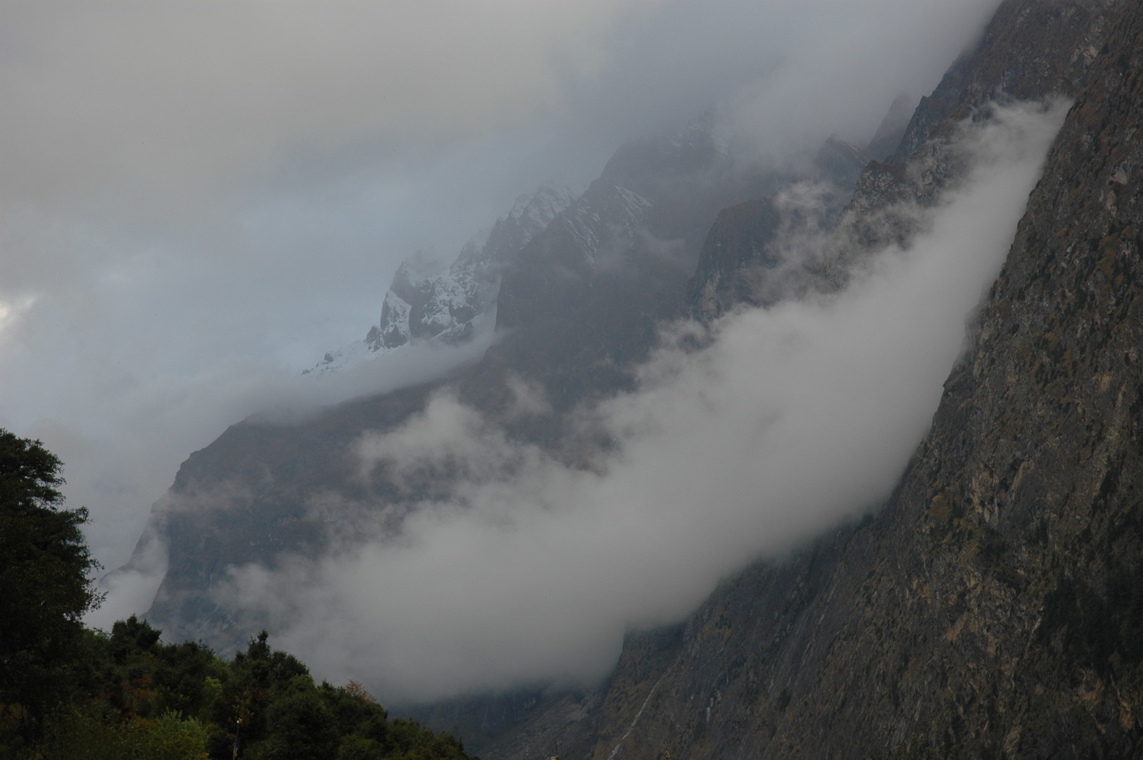 Lihi :: clouds gather in the Hinang valley
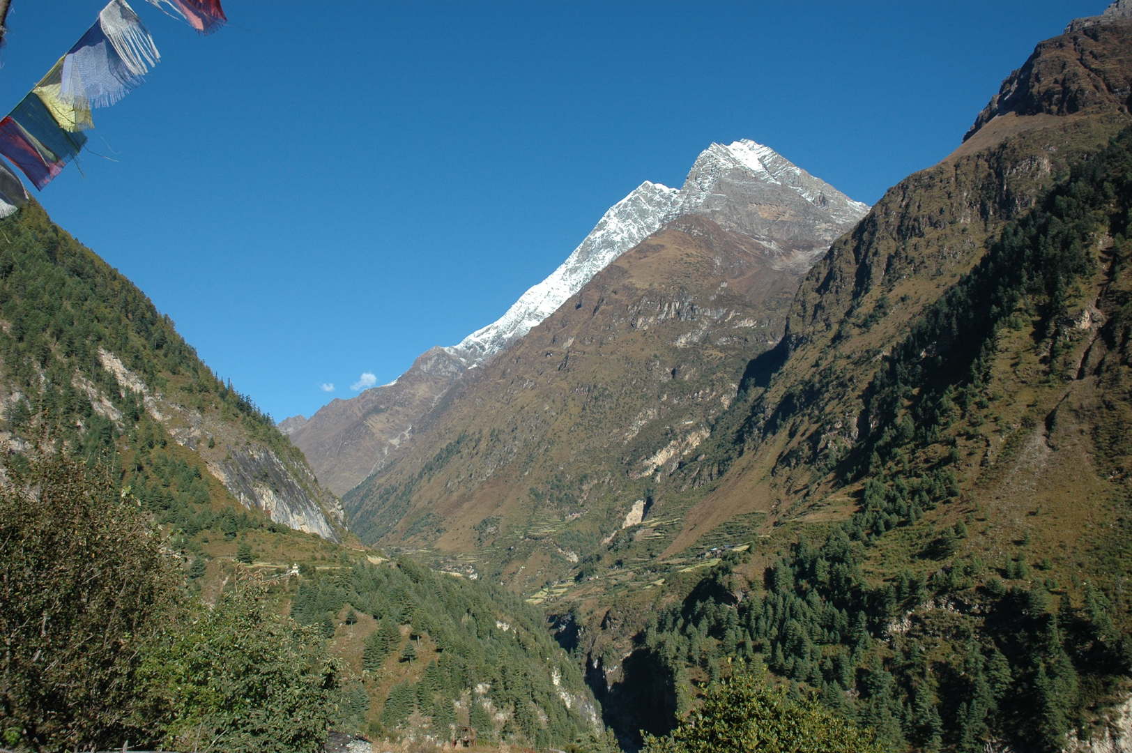 Kutang Himal in the morning
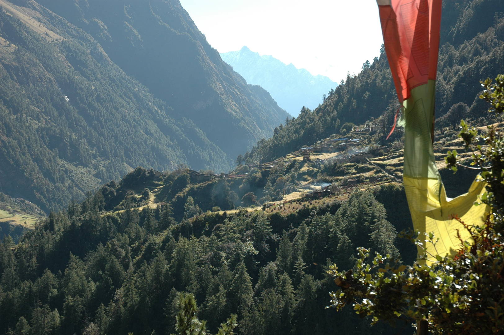 Syogaon :: looking back towards Lihi
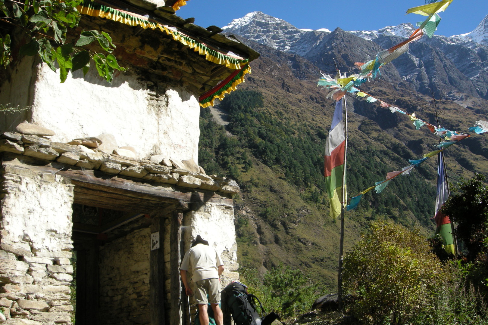 Syogaon :: the entrance chorten
 Syogaon :: the entrance chorten :: Kutang Himal
 Syogaon :: the entrance chorten :: Kutang Himal, autumn colours
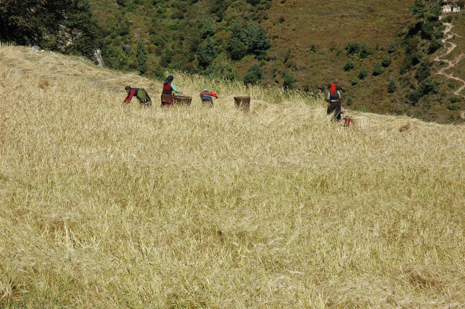 Syogaon :: harvest
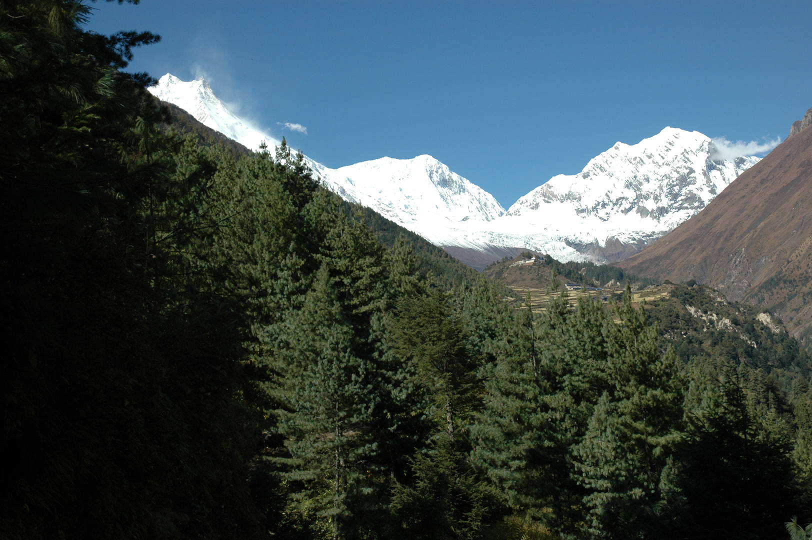 Approaching Lho :: the famous first Manaslu top view
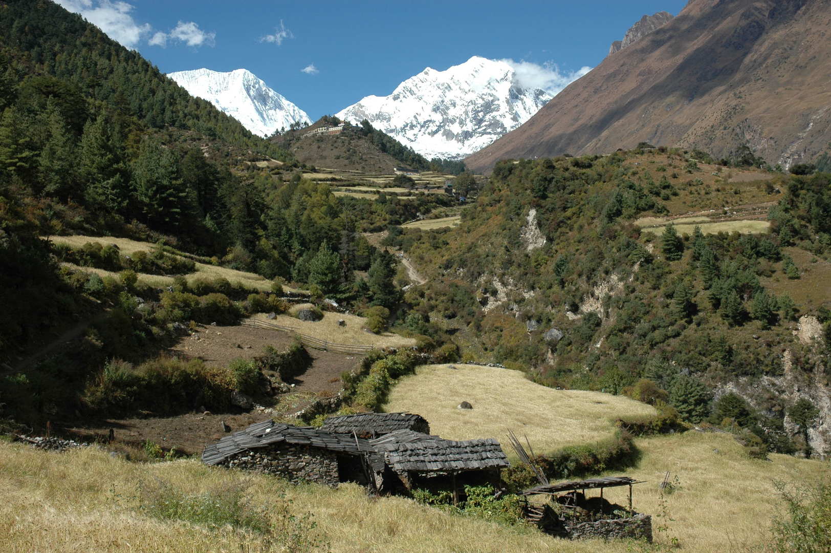 Lho :: approaching
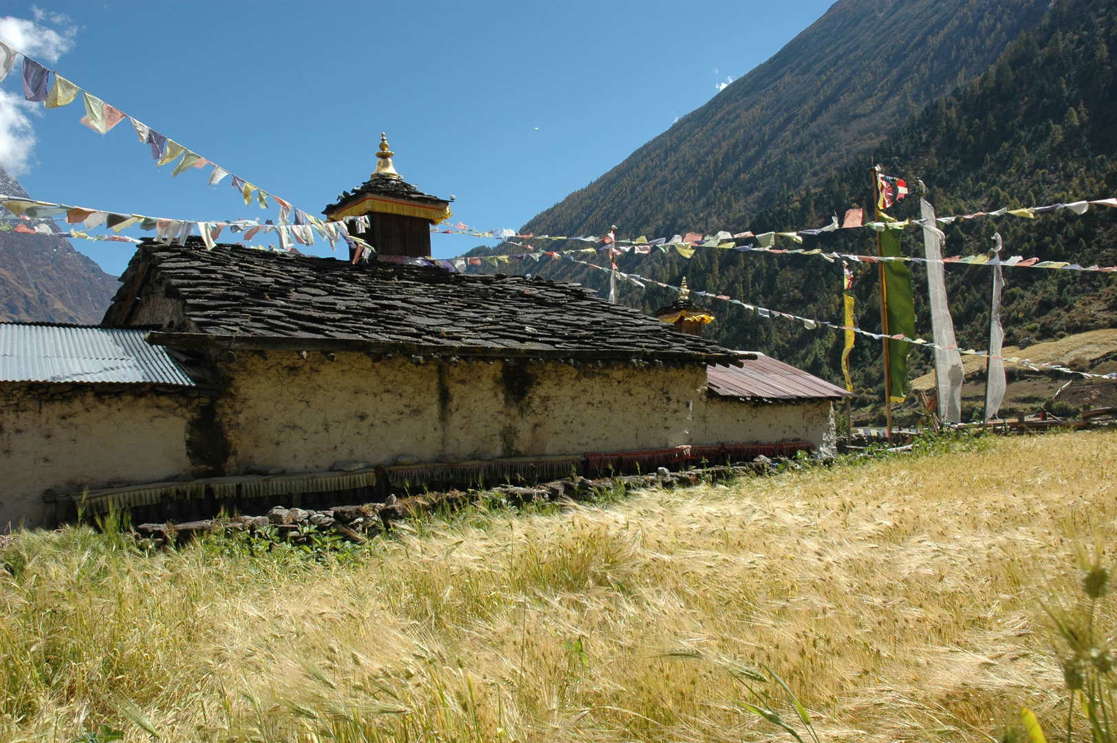 Lho :: the lower (village) Gompa
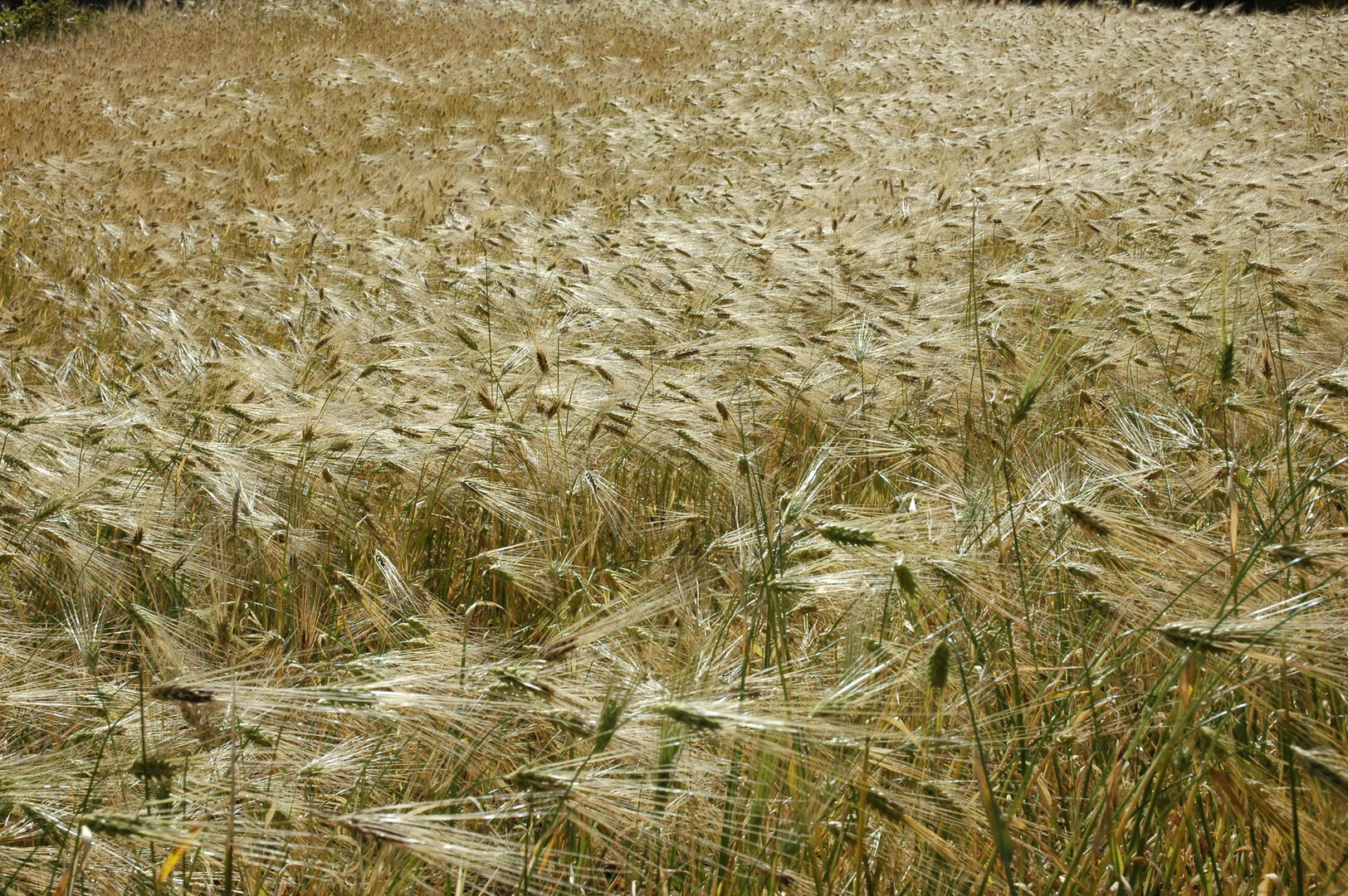 Lho :: fields
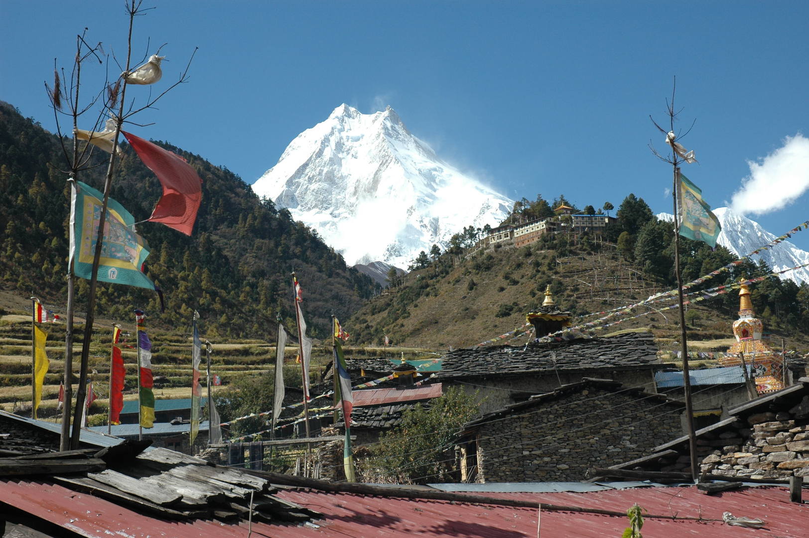 Lho :: the omni-present Manaslu over the village roofs :: Gompa to the right
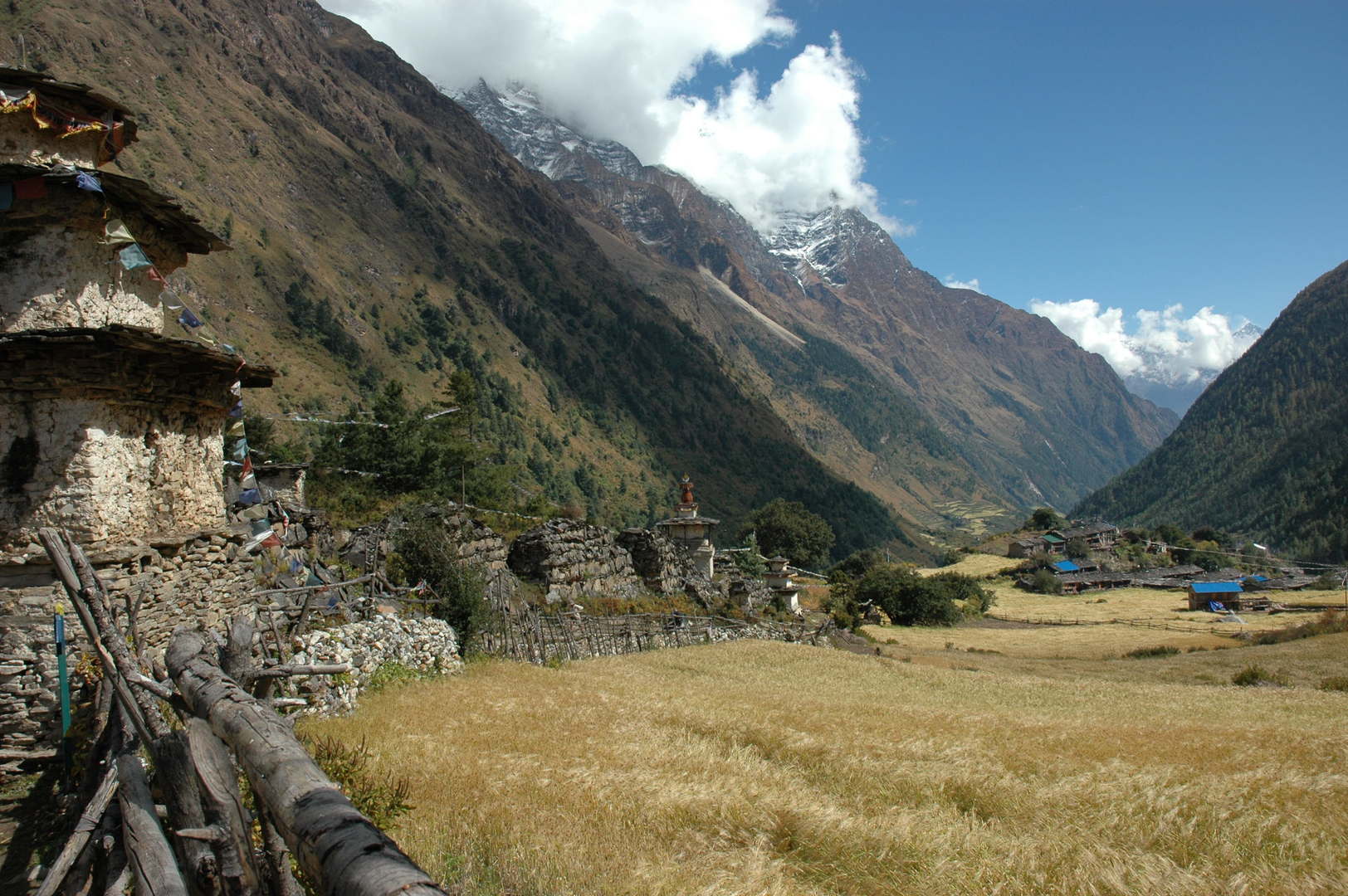 Lho :: exit chortens and mani walls
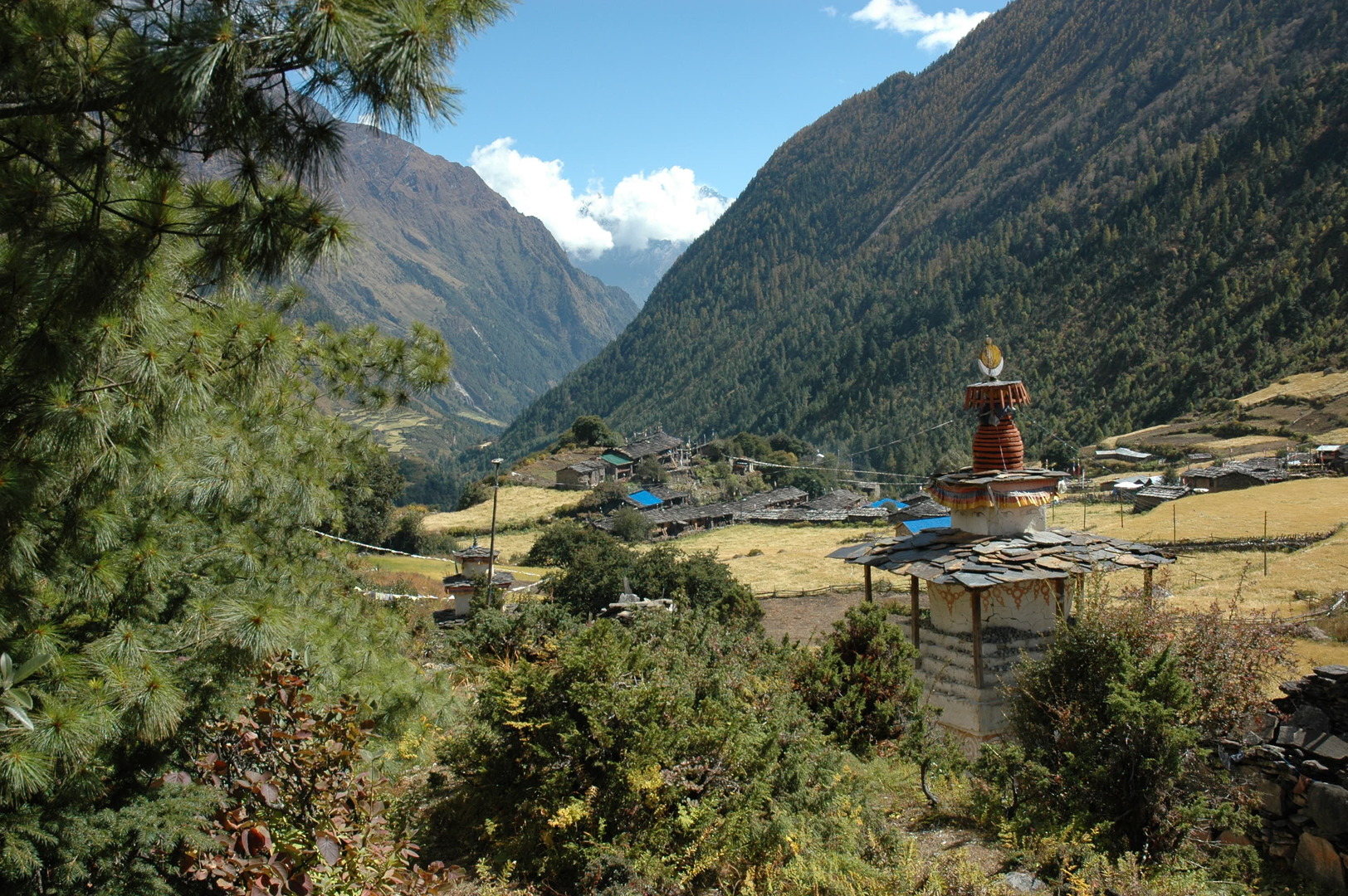 Lho :: exit chortens and mani walls
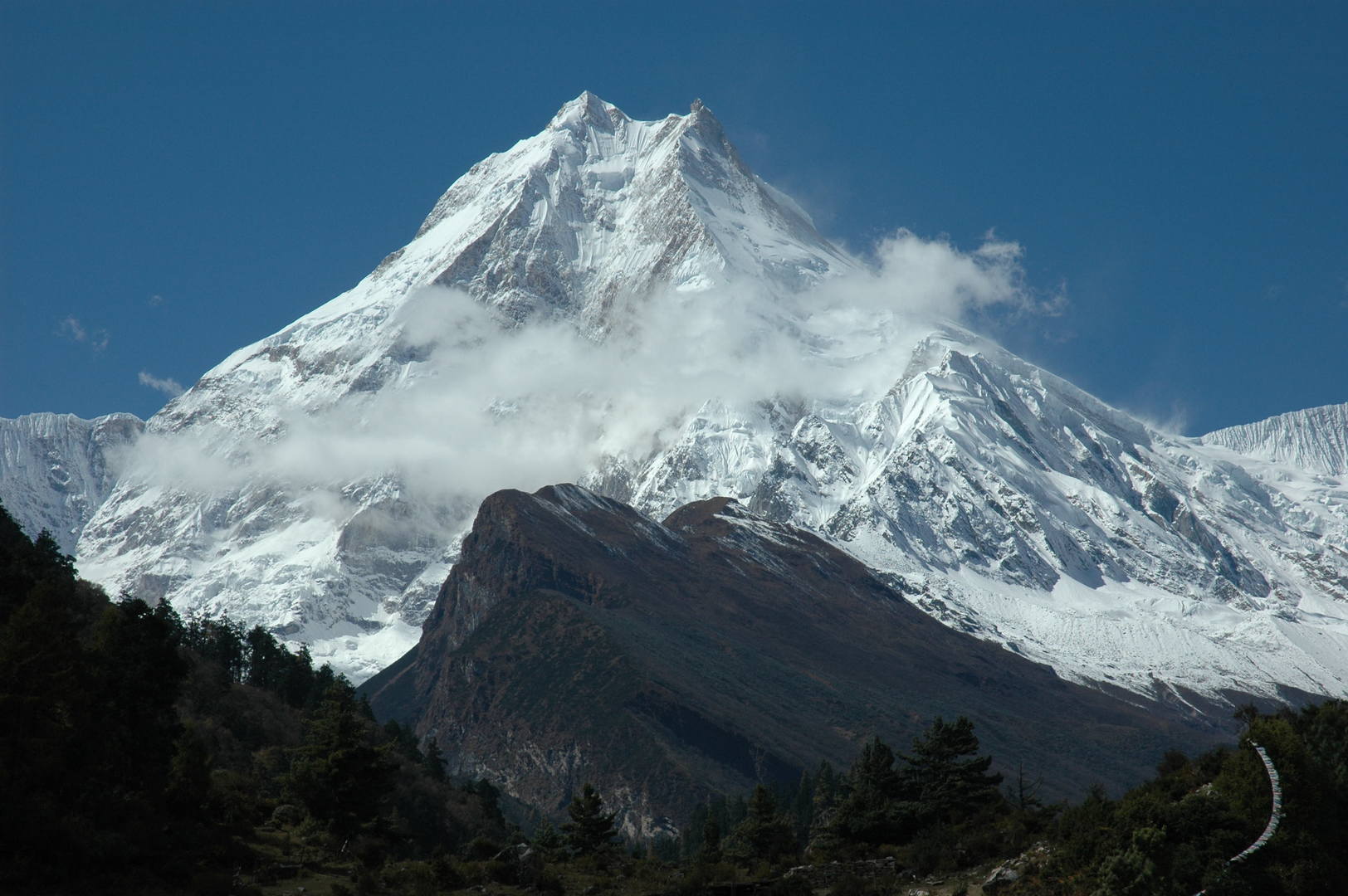 Lho :: Manaslu zoomed...
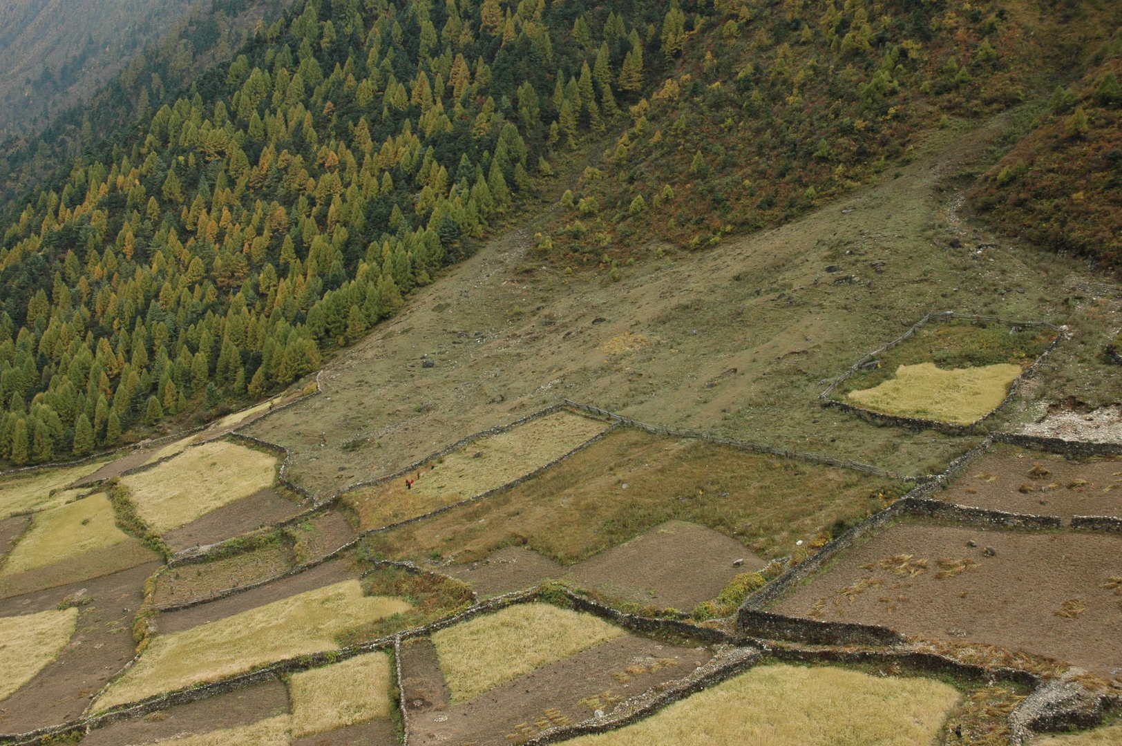 Lho :: upper reach of the fields
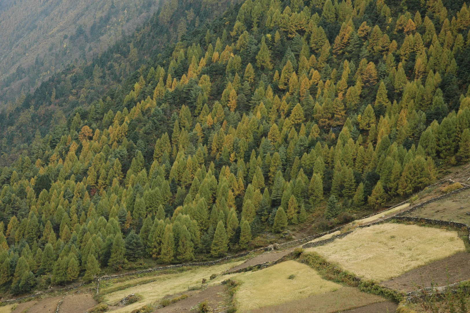 Lho :: fields at the forest boundary
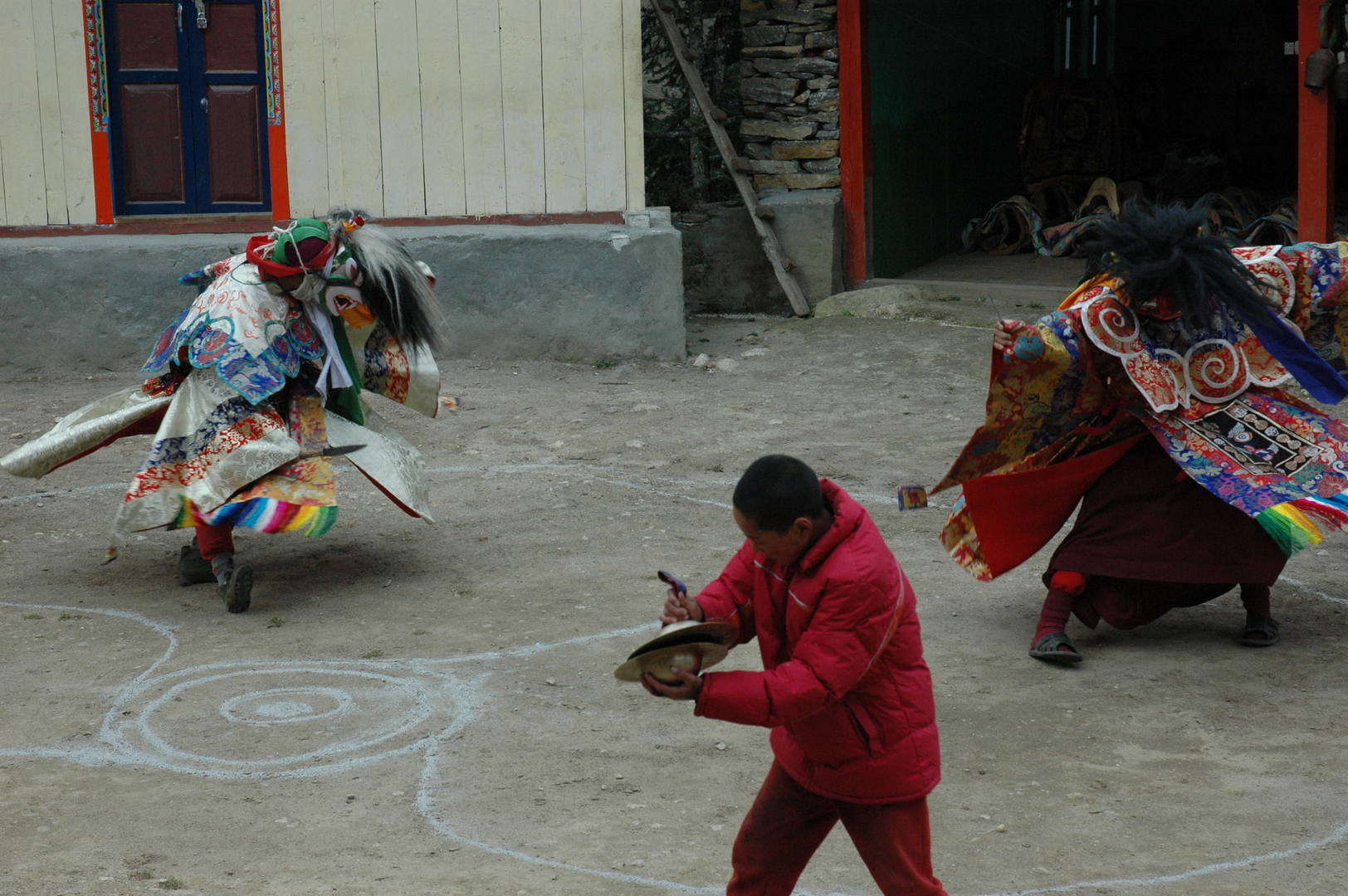 Lho Gompa :: training ritual dances
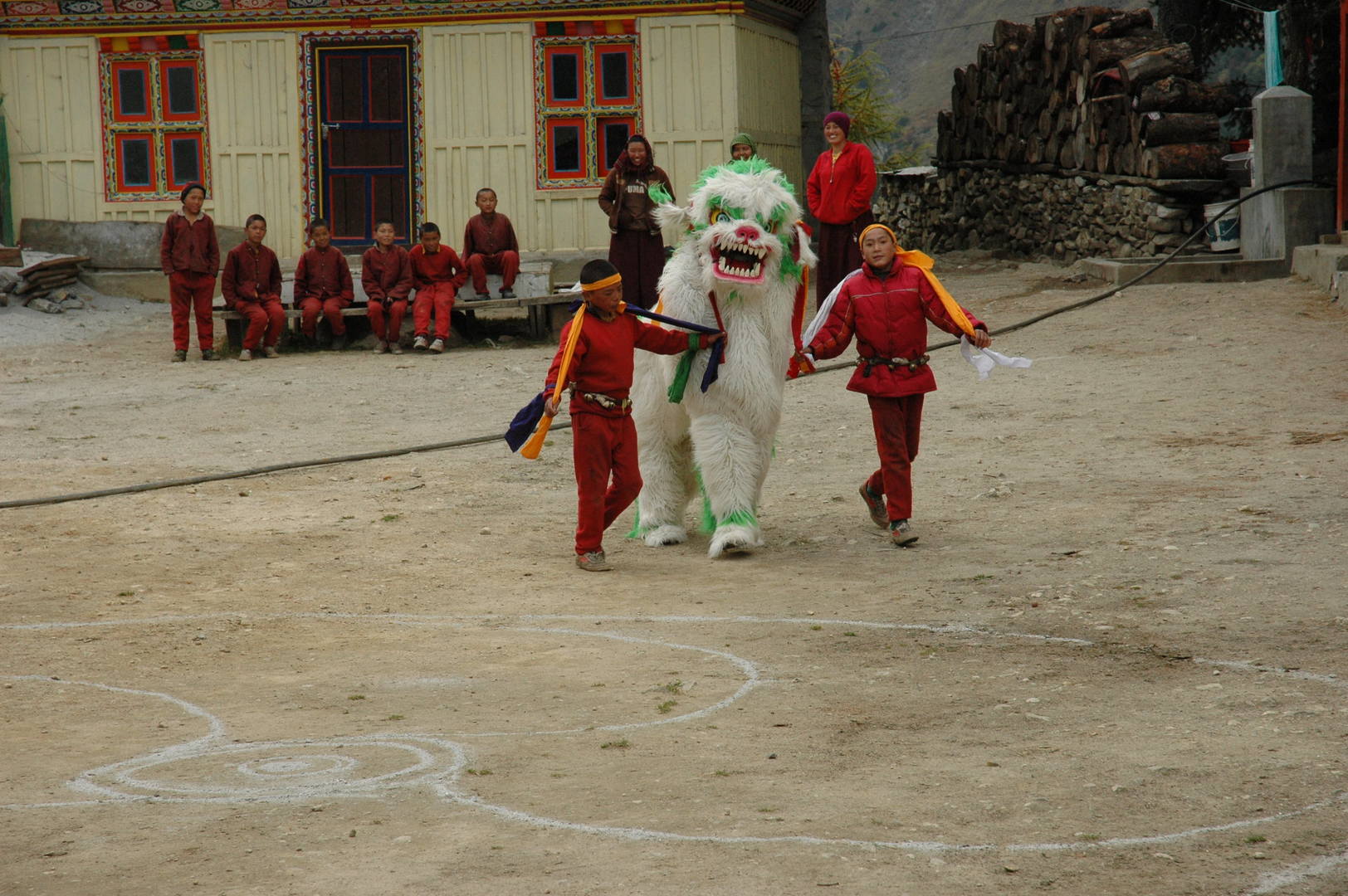 Lho Gompa :: dancing with the lion
 Lho Gompa :: the public, watching
 Lho Gompa :: the public, leaving
 Syala :: the peaks parade over the messy village :: Simnang Himal, Nadi Chuli, Manaslu
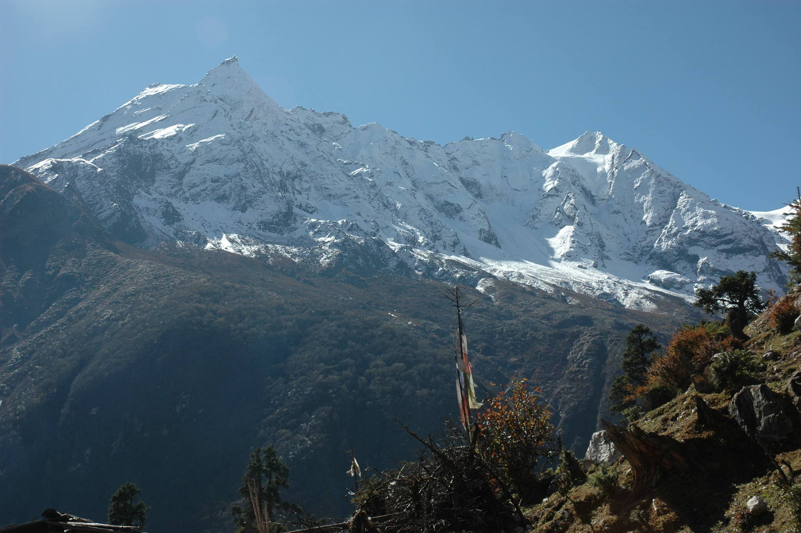 Syala :: Taningga Danda
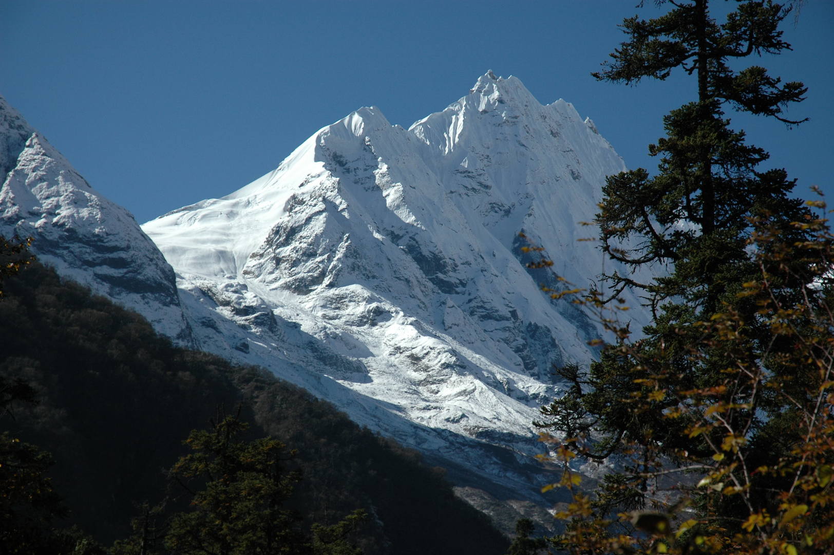 Syala :: Simnang Himal
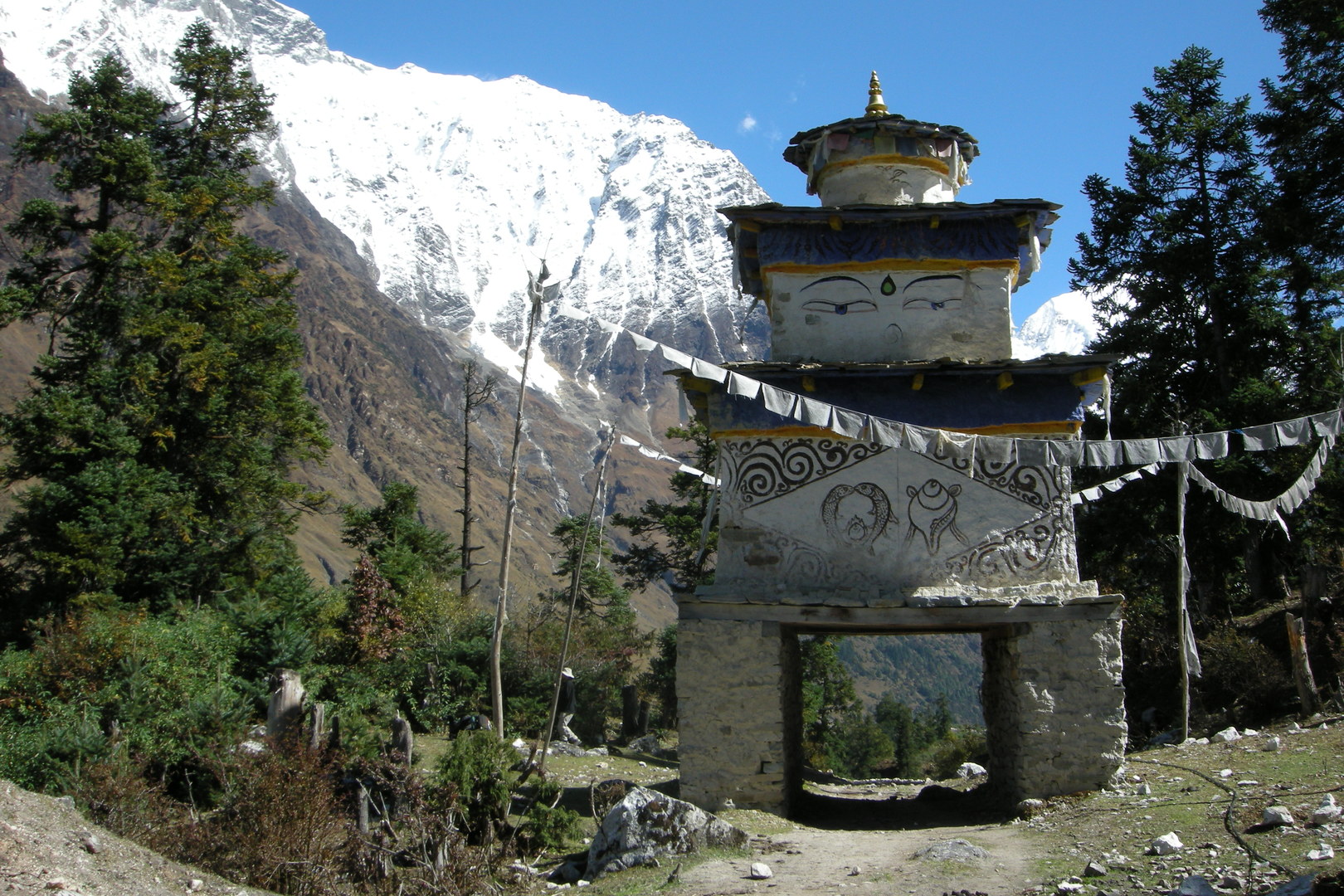 Syala :: the exit chorten
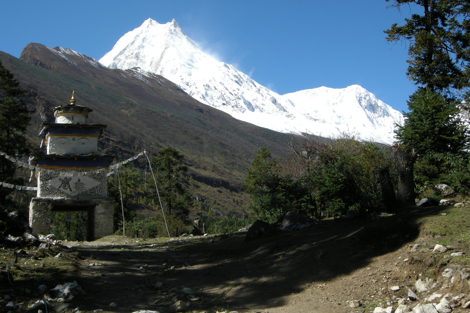 Syala :: the exit chorten
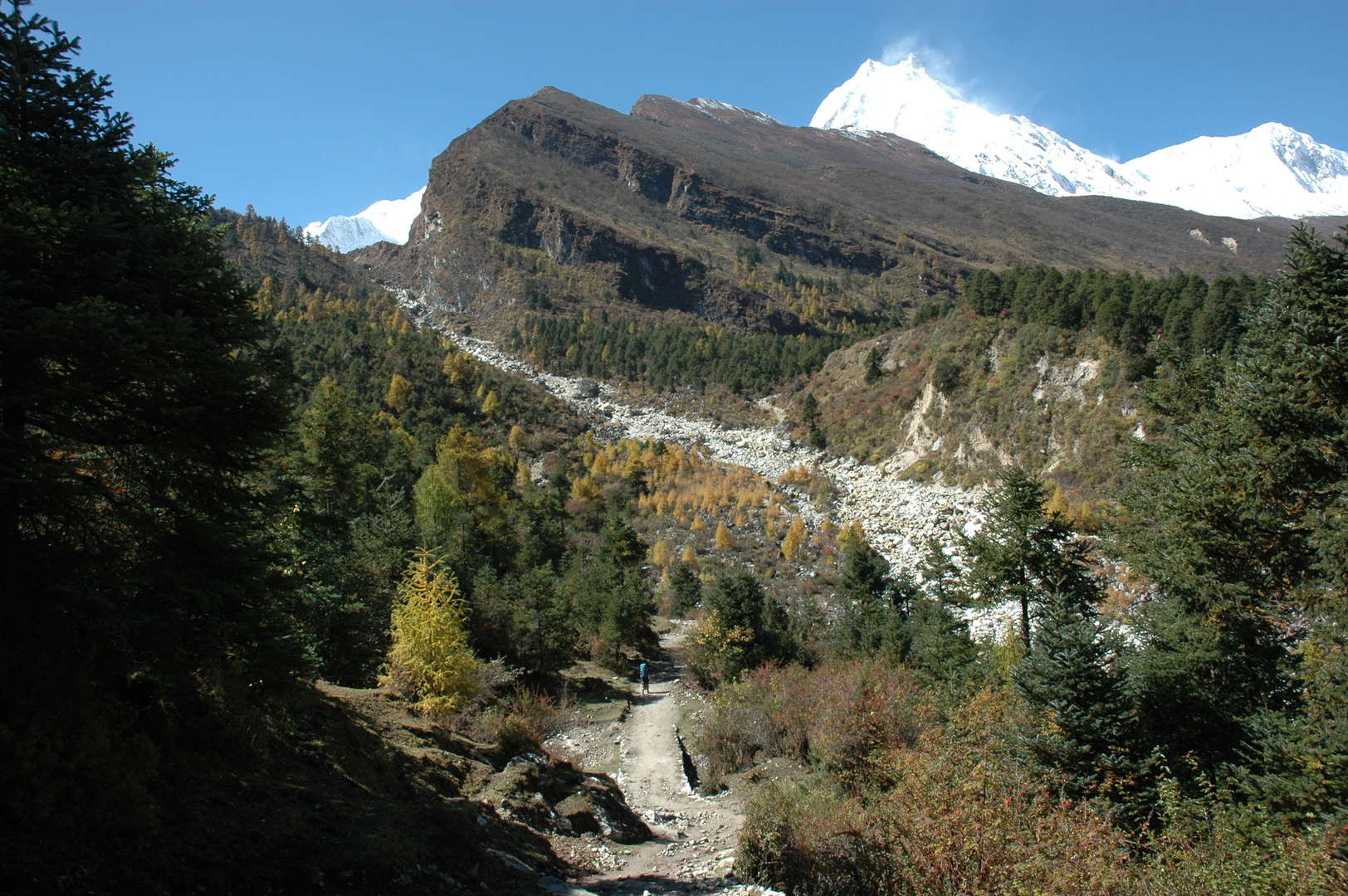 The Numla Khola valley :: Manaslu
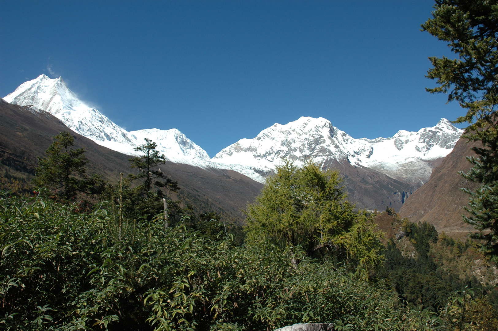 The Numla Khola valley :: Samagaon surroundings
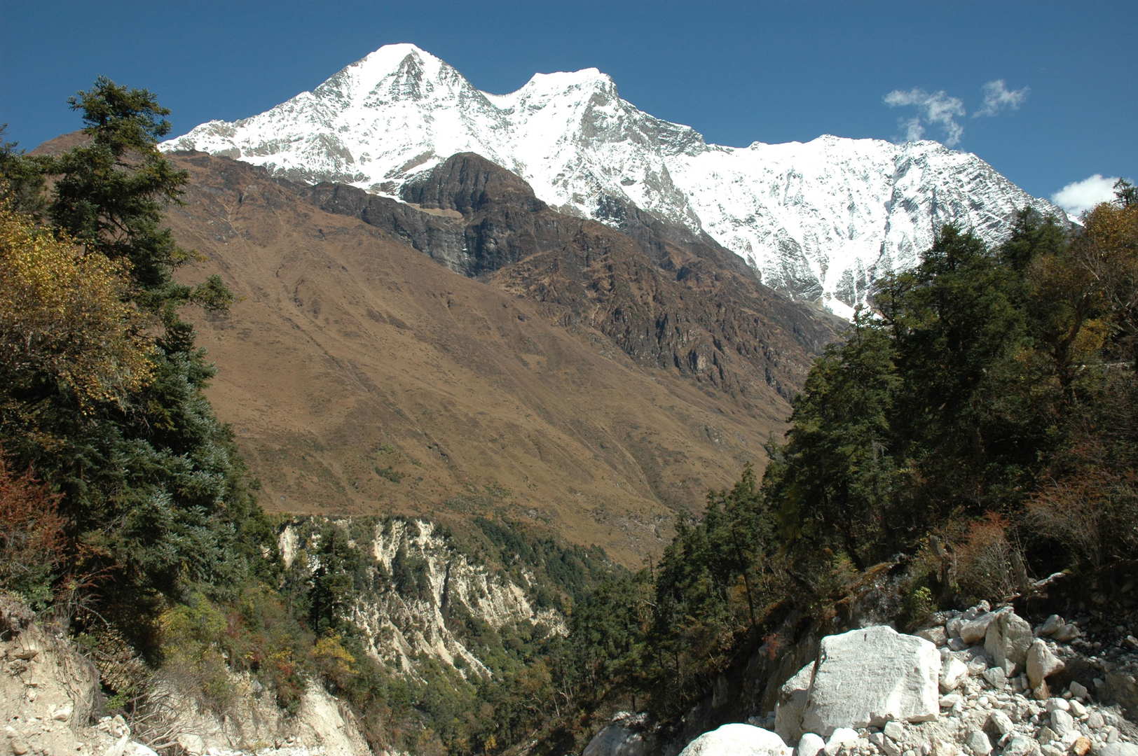 The Numla Khola valley :: Kutang Himal :: Samdo, Khayang
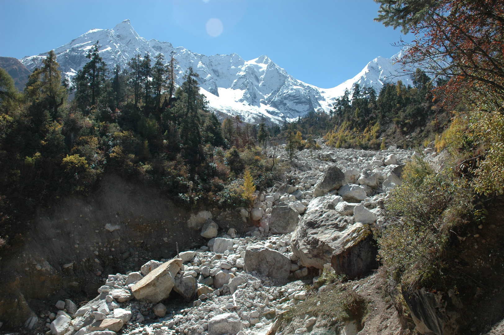 The Numla Khola valley :: Taningga Danda, Simnang Himal
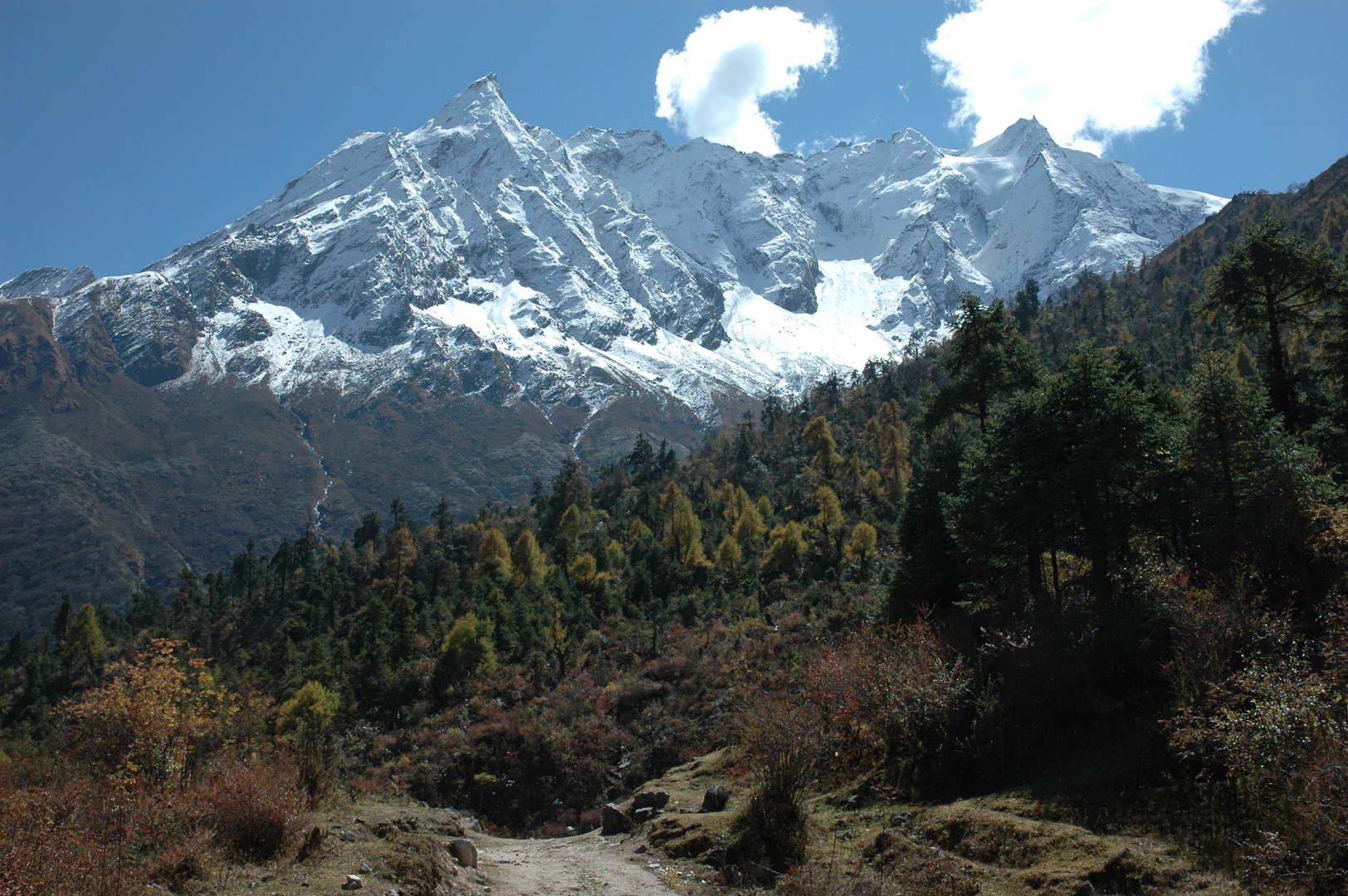 West of the Numla Khola :: Taningga Danda
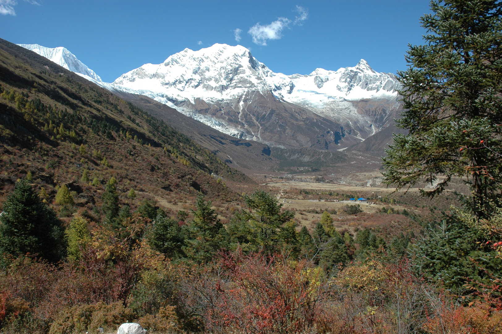 West of the Numla Khola :: towards Samagaon pastures
 By Samagaon pastures
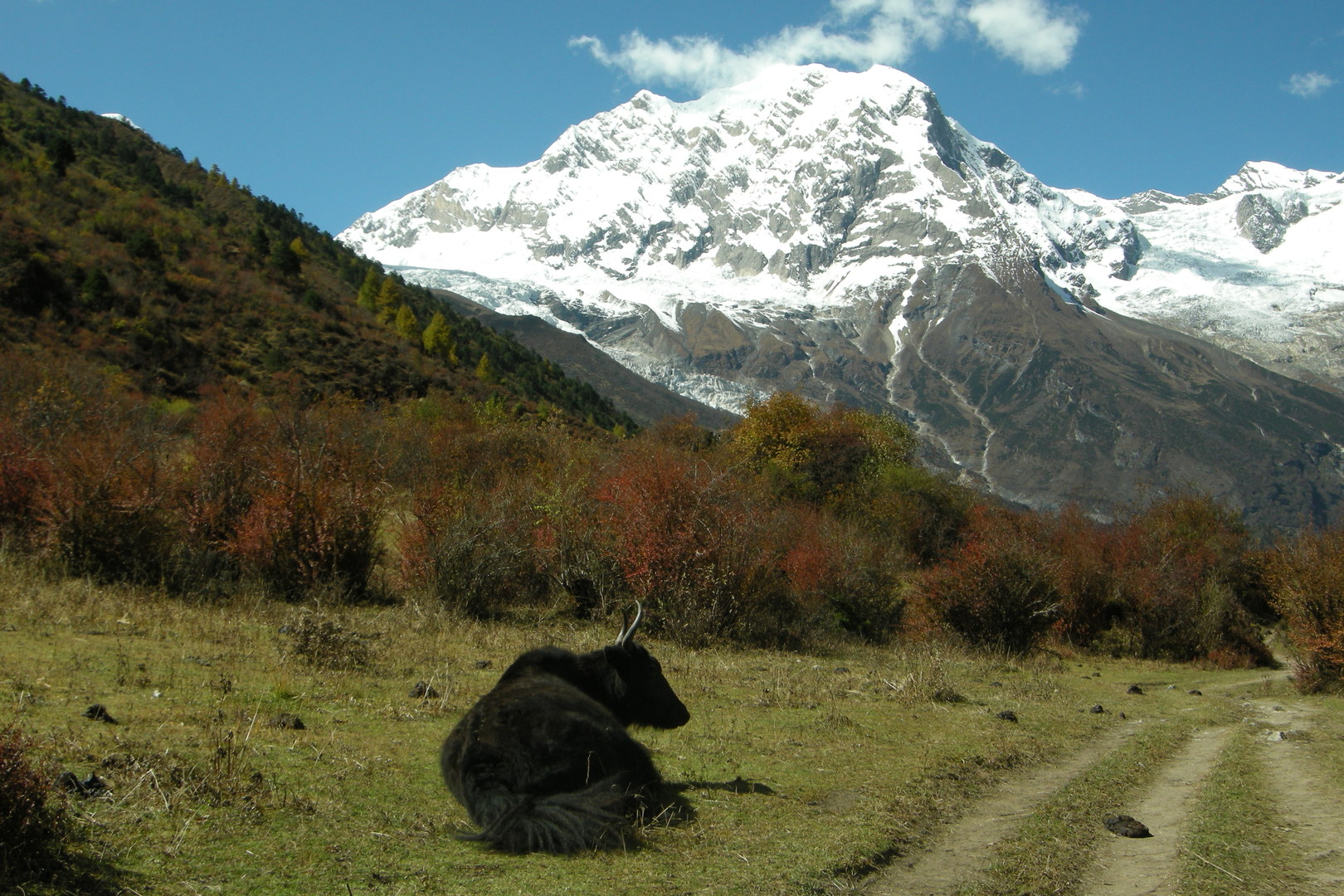 By Samagaon pastures :: happy life?
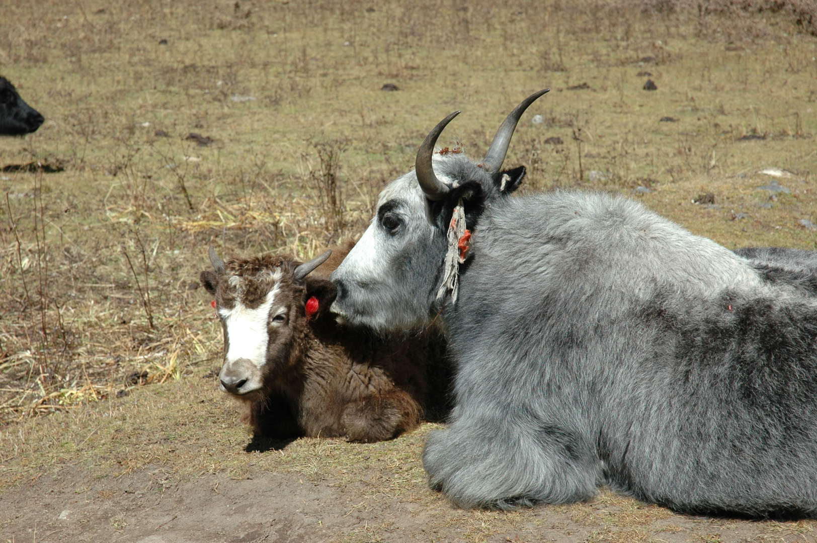 By Samagaon pastures :: yaks or dzos?
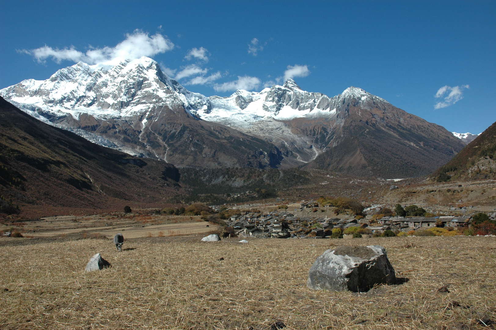 Approaching Samagaon from the east, Naike Peak, Yamnang Glacier
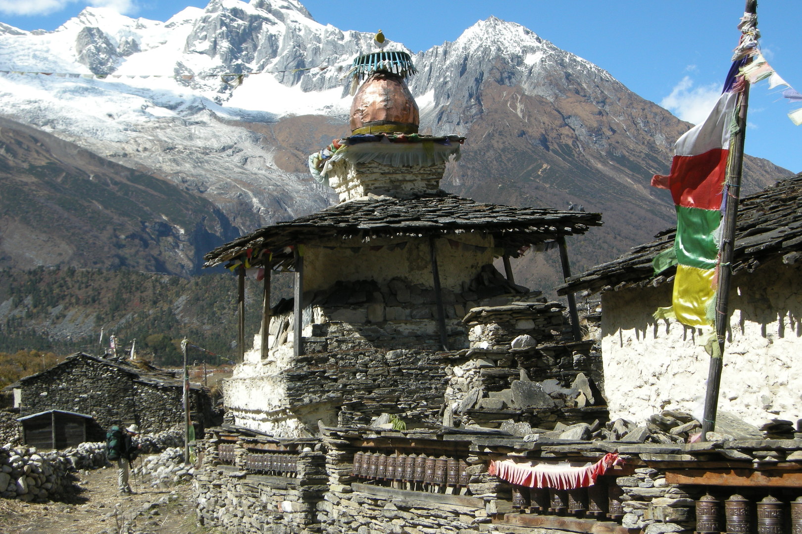 Approaching Samagaon from the east, Naike Peak, Yamnang Glacier
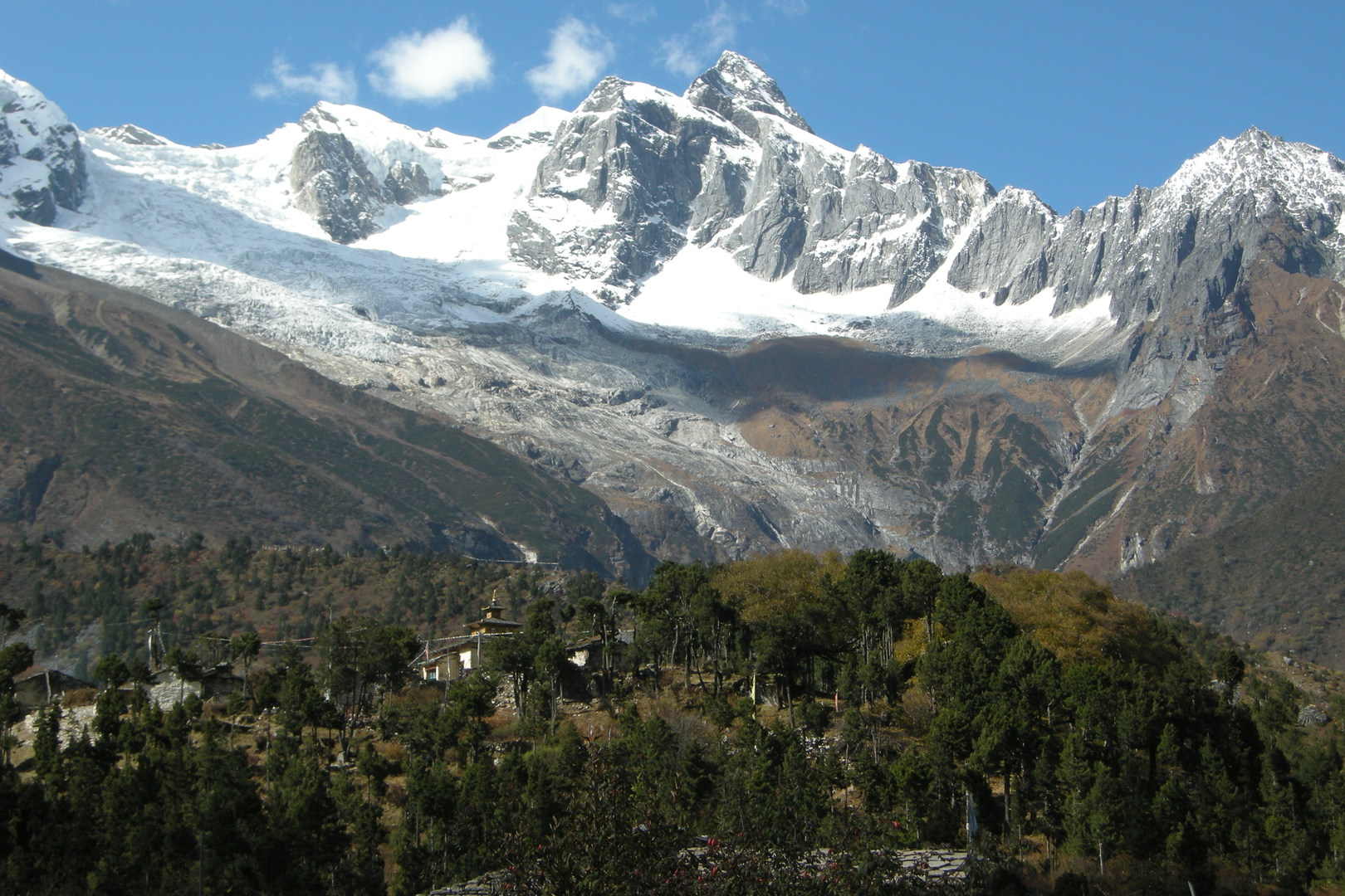 Samagaon :: upper Gompa, Yamnang Glacier
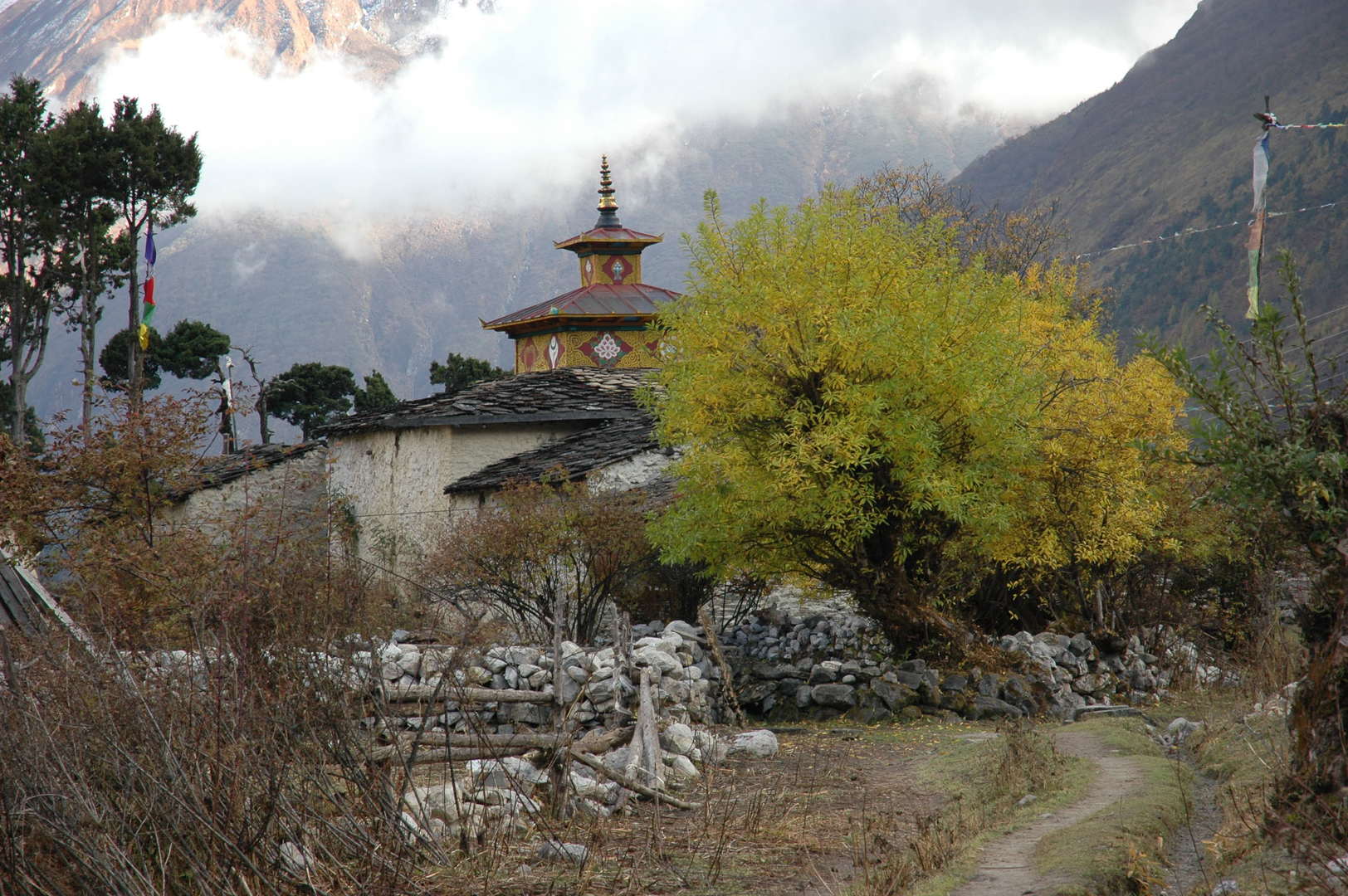 Samagaon :: upper Gompa
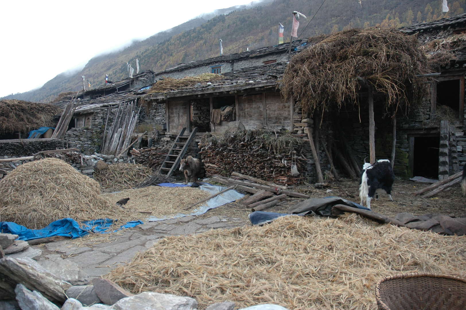 Samagaon :: houses
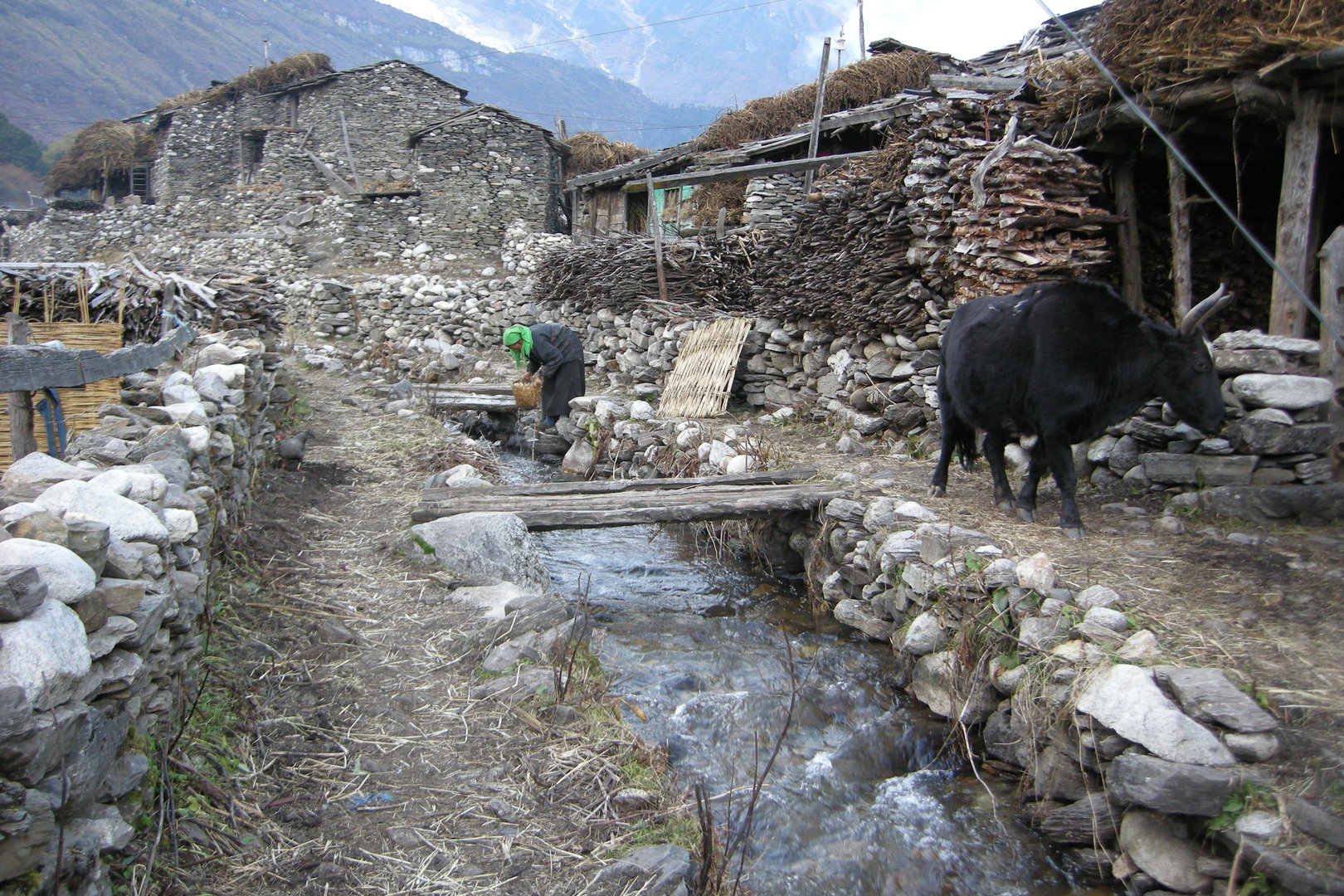 Samagaon :: the stream
 Samagaon :: the village
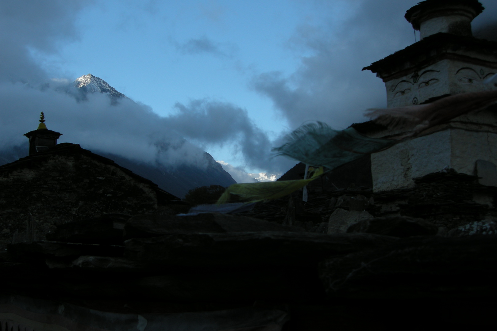 Samagaon :: the village
 Samagaon :: examining foreign languages
 Samagaon :: let them fly
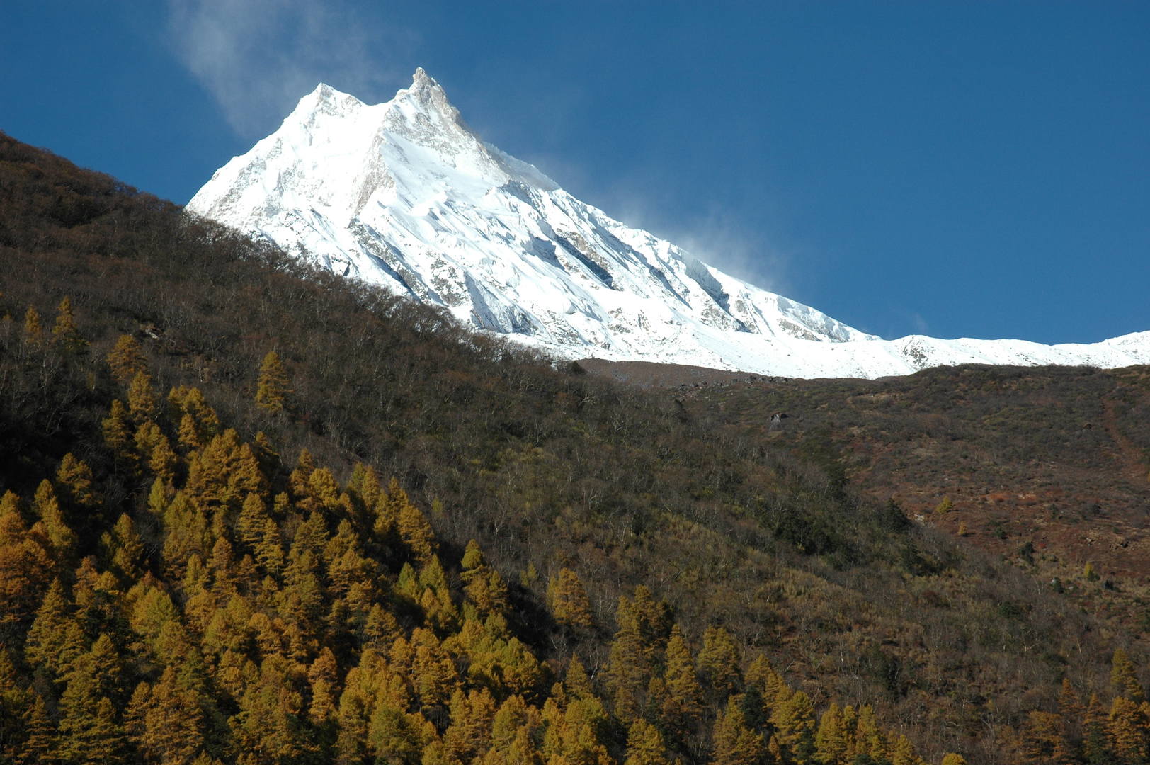 Samagaon :: the eye-catching Manaslu, what else...
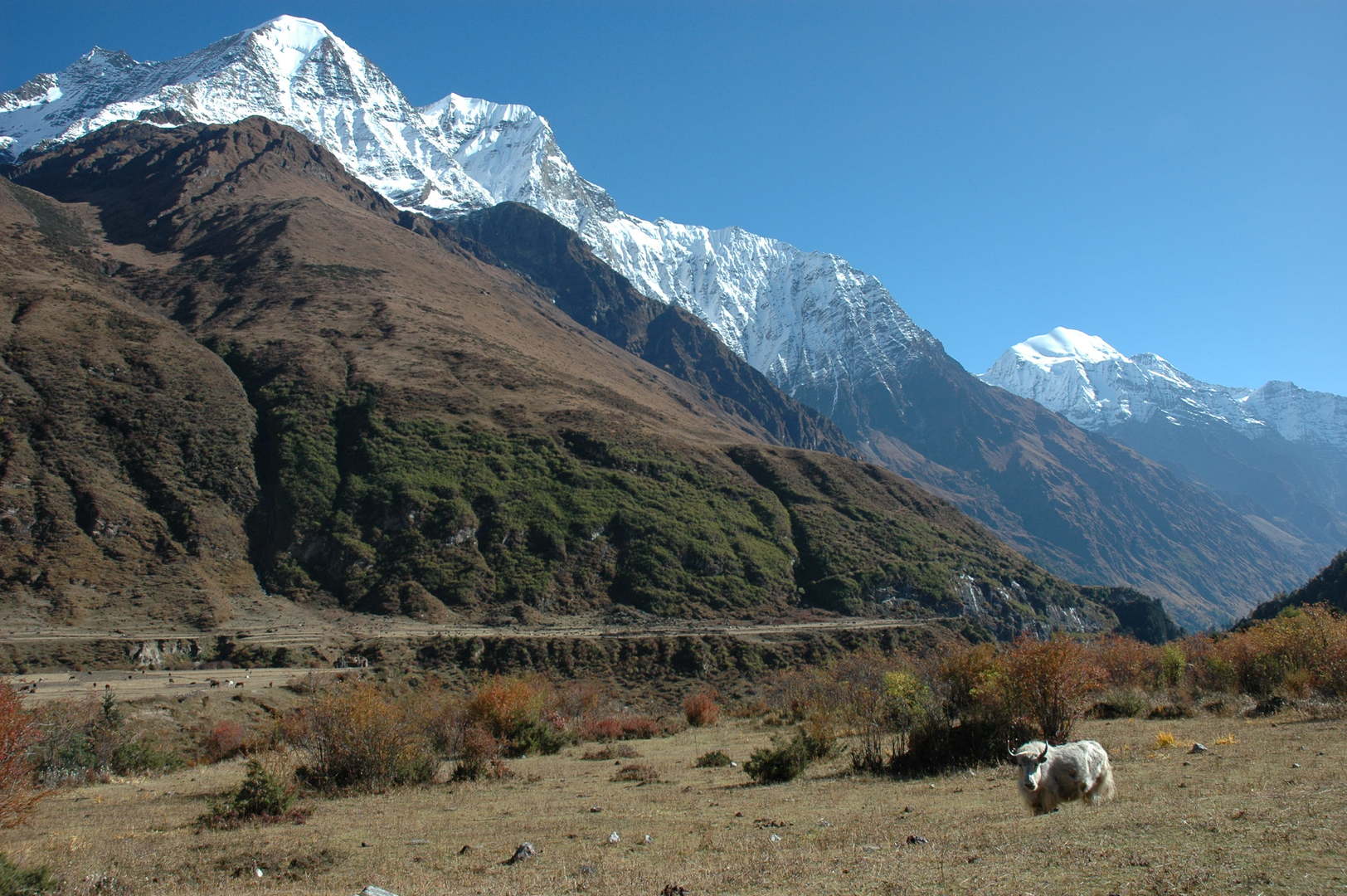 Samagaon :: Kutang Himal
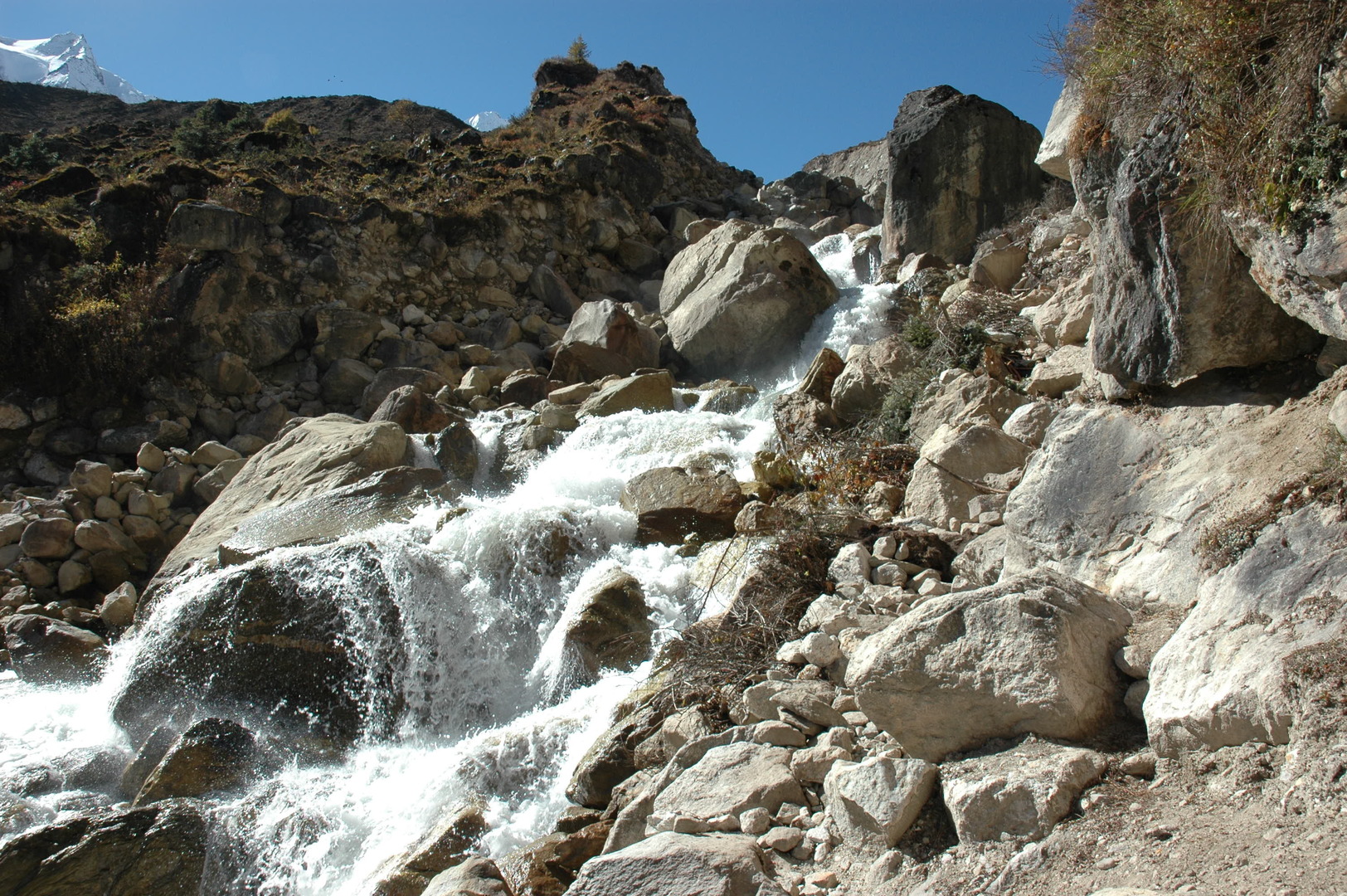 The Numla Khola valley :: upstream
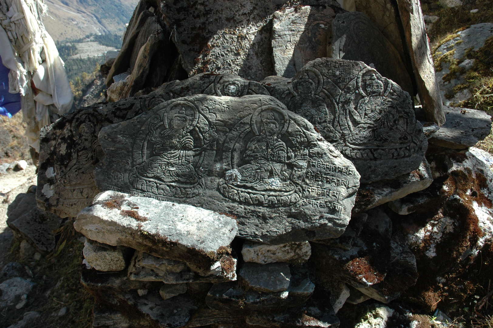 The Numla Khola valley :: a mani wall
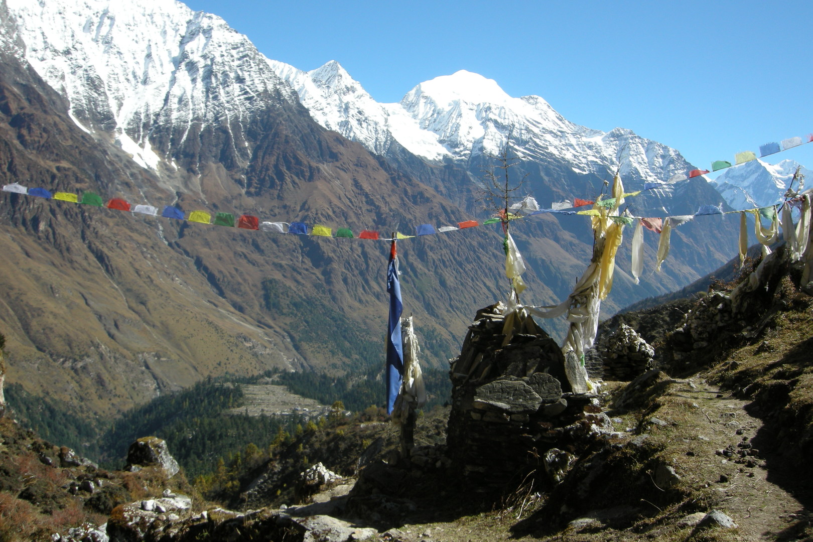 Towards Pungyen :: looking back towards Kutang Himal
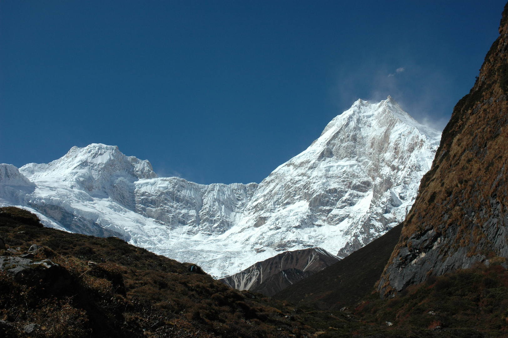 Towards Pungyen :: Nadi Chuli (Peak 29), Manaslu
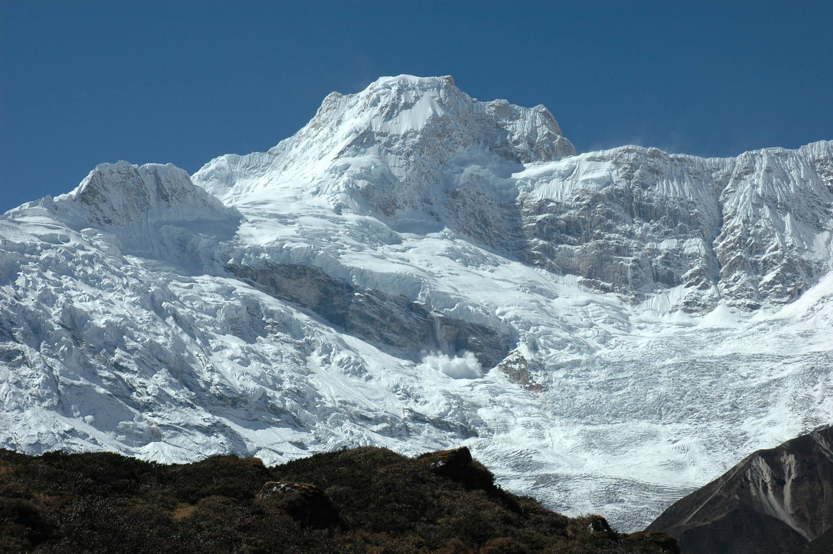 Towards Pungyen :: Nadi Chuli
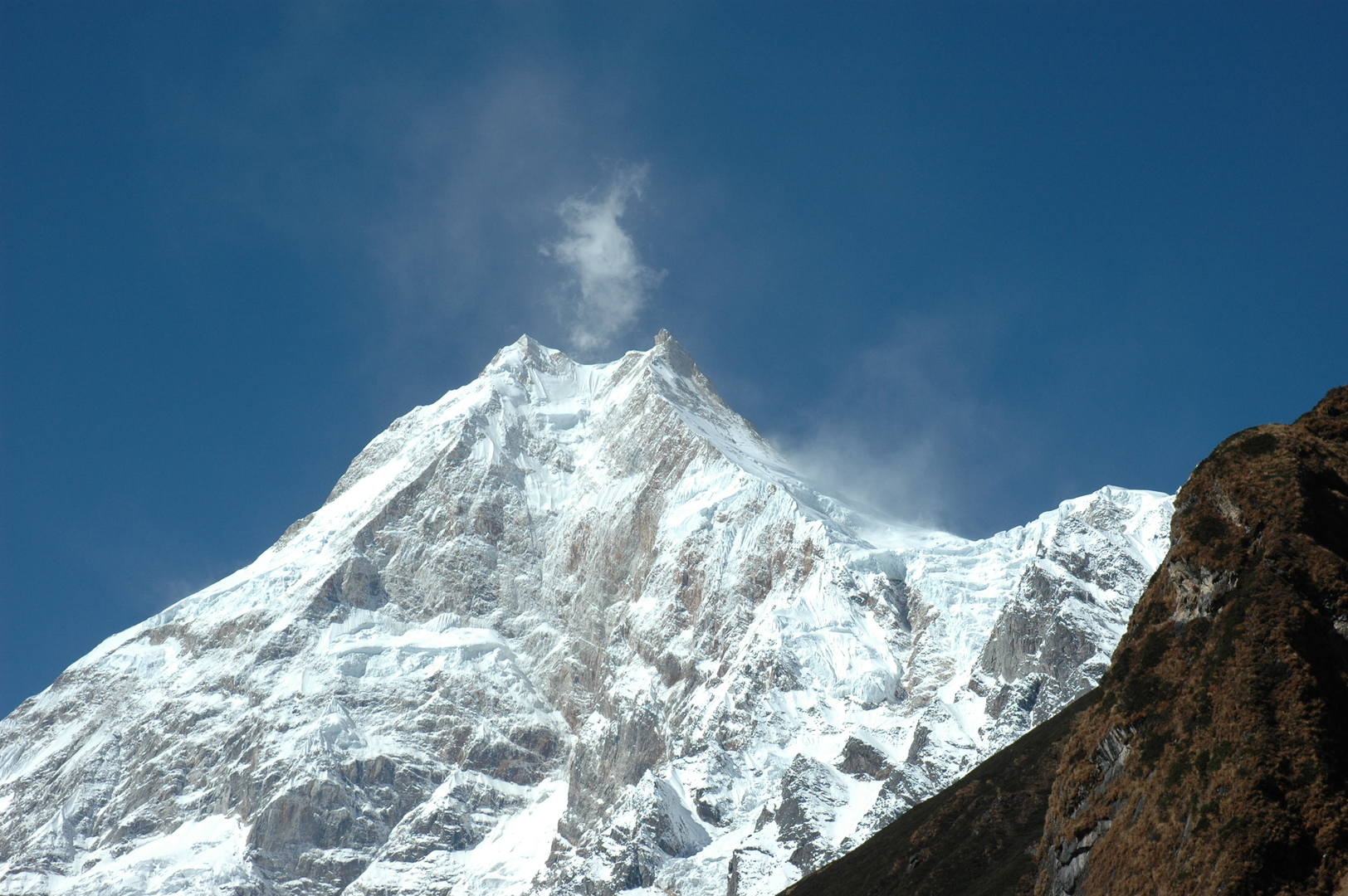 Towards Pungyen :: Manaslu top
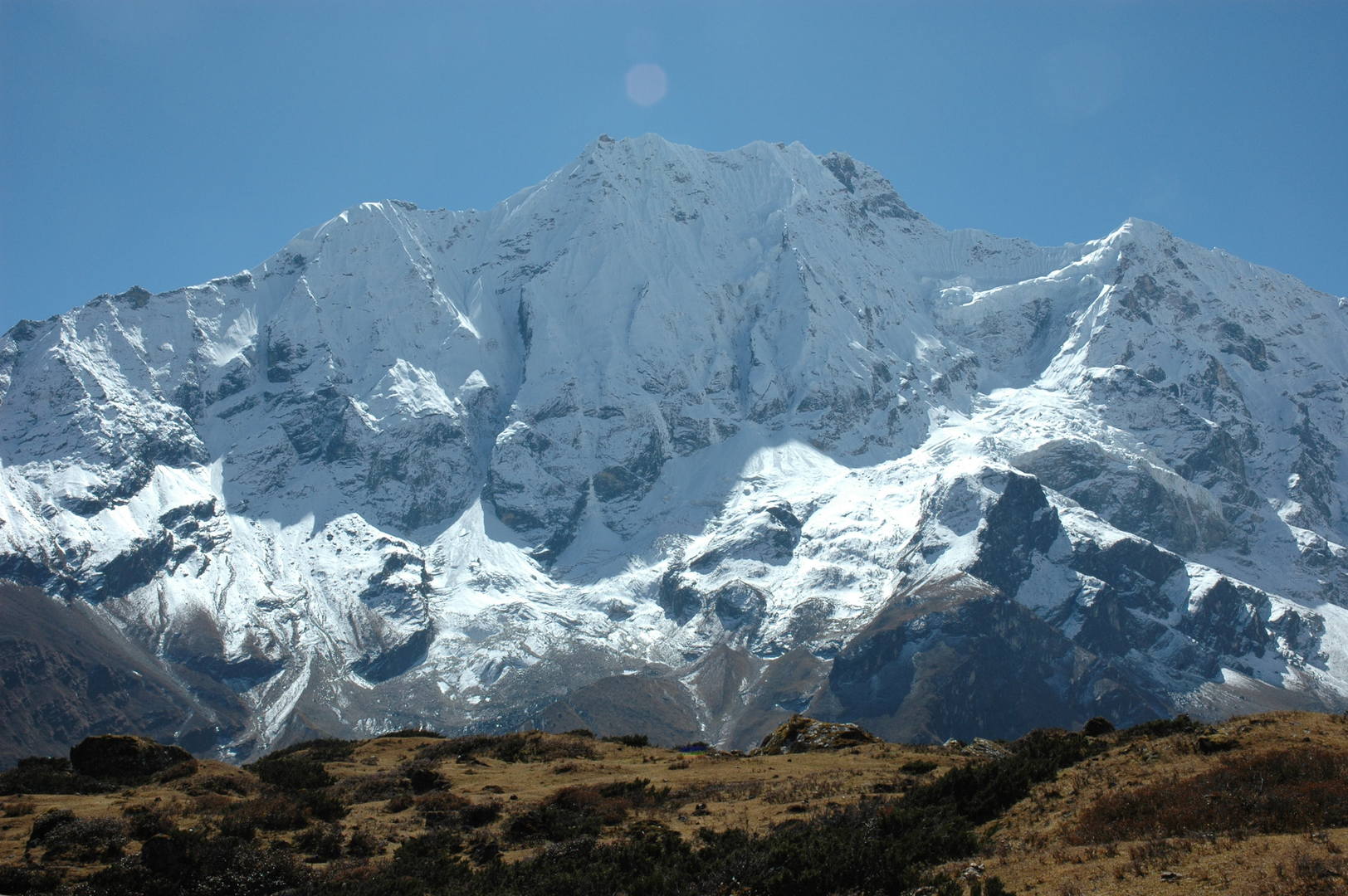 Pungyen :: Simnang Himal
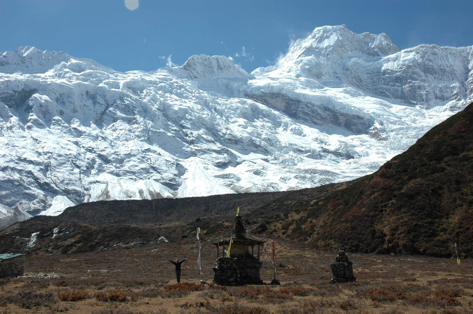 Pungyen :: reached the Gompa chorten
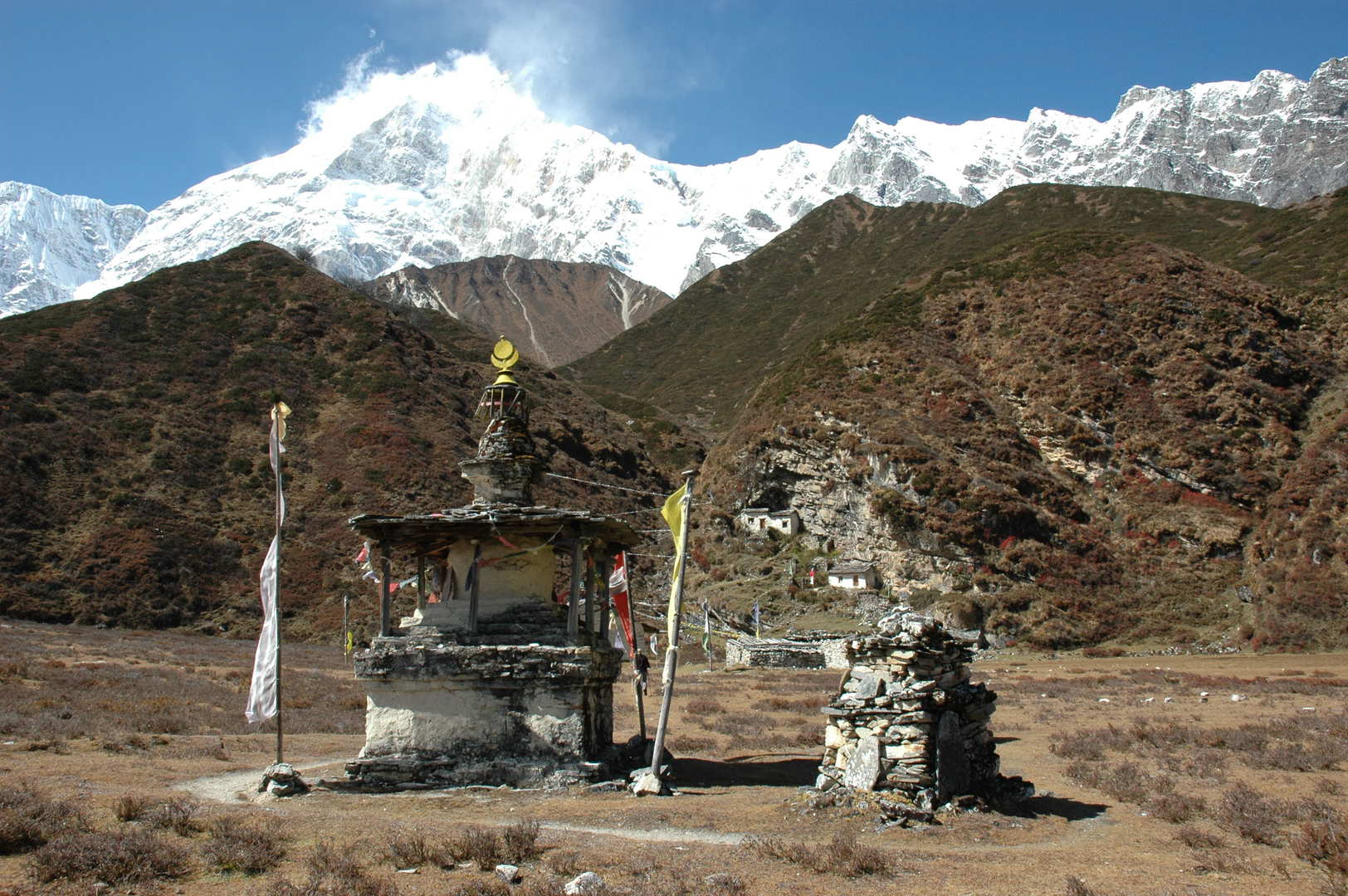 Pungyen :: Gompa
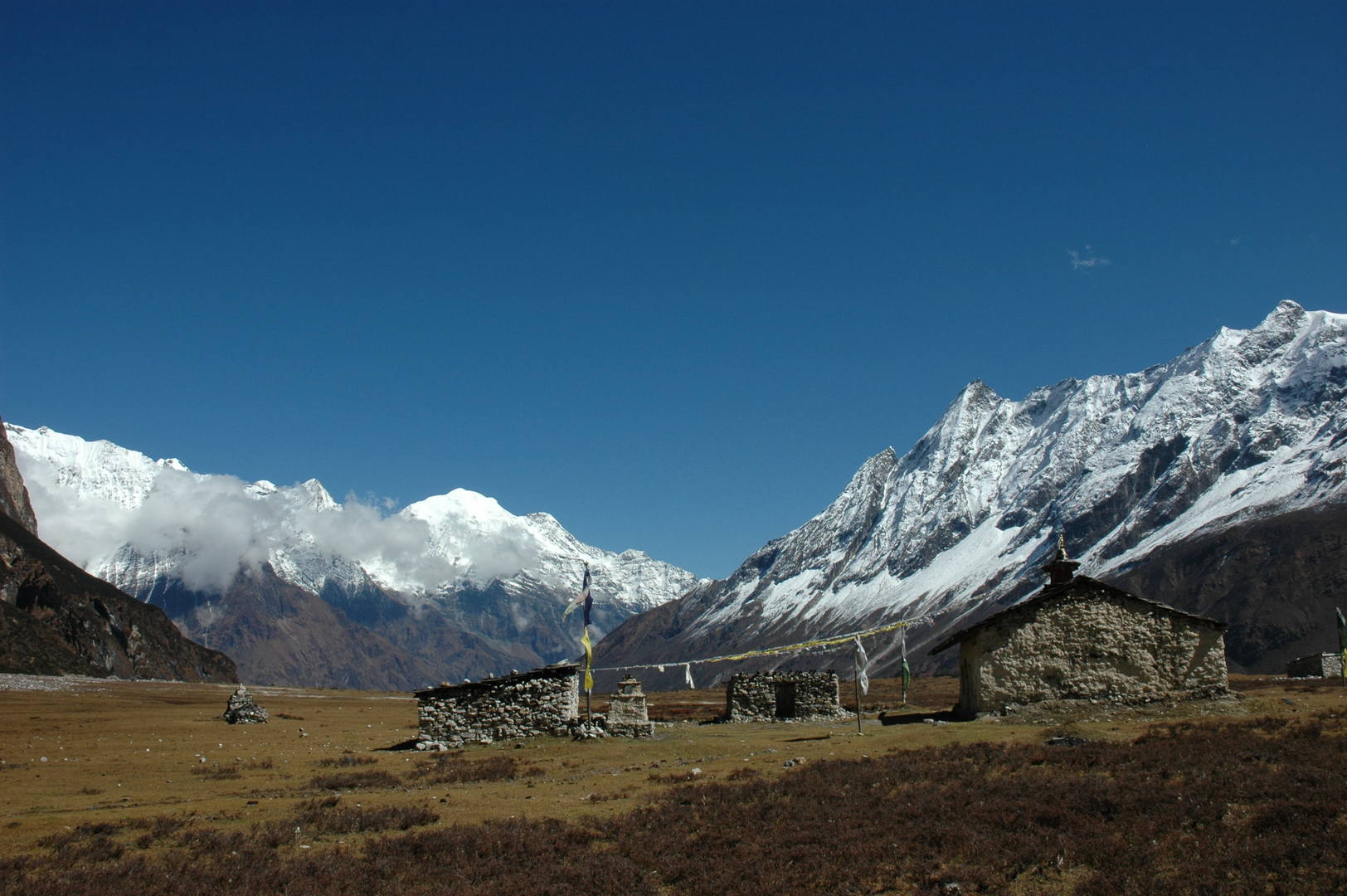 Pungyen :: the lower gompa buildings
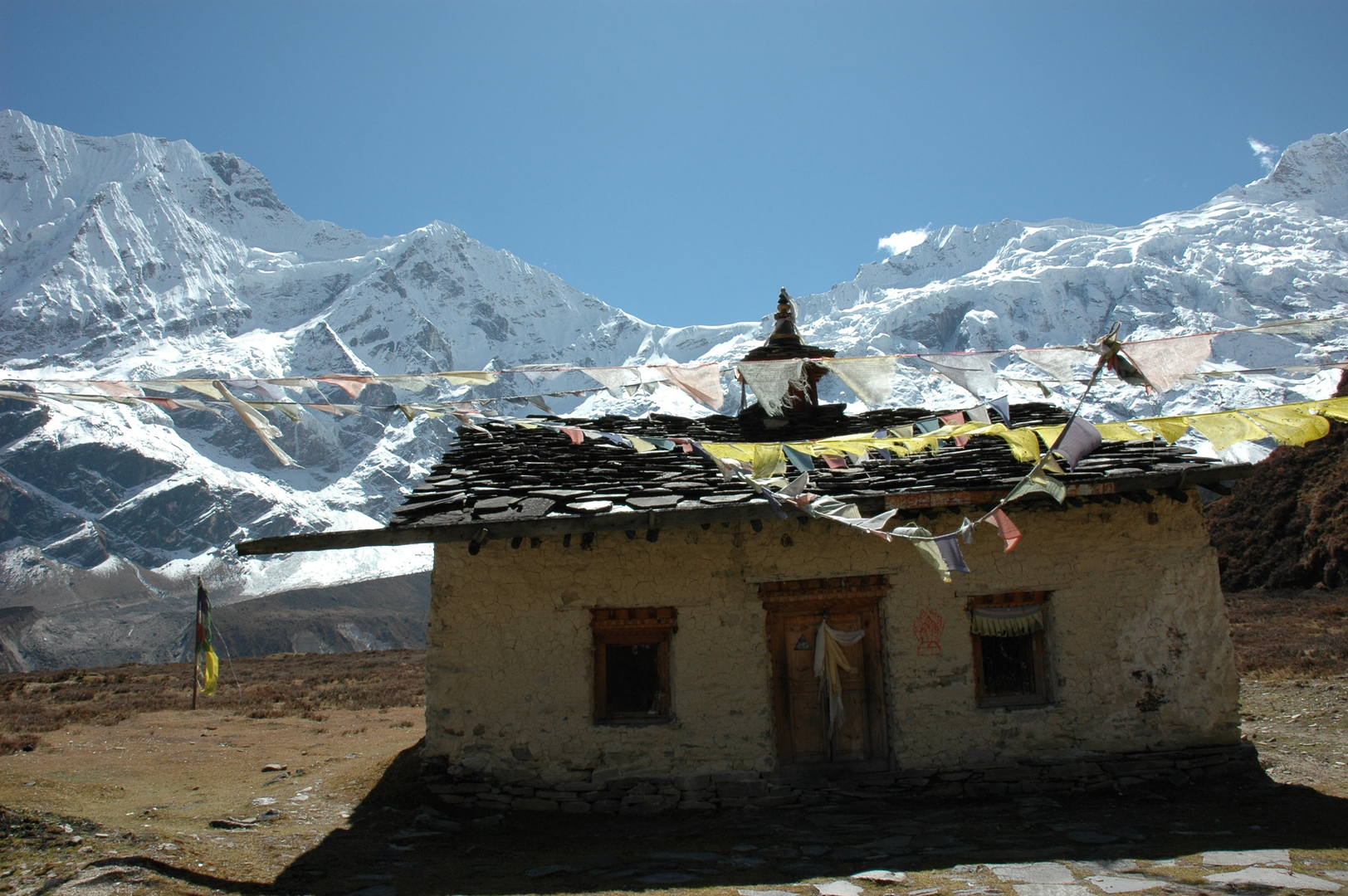 Pungyen :: one of the gompa buildings - what a surrounding
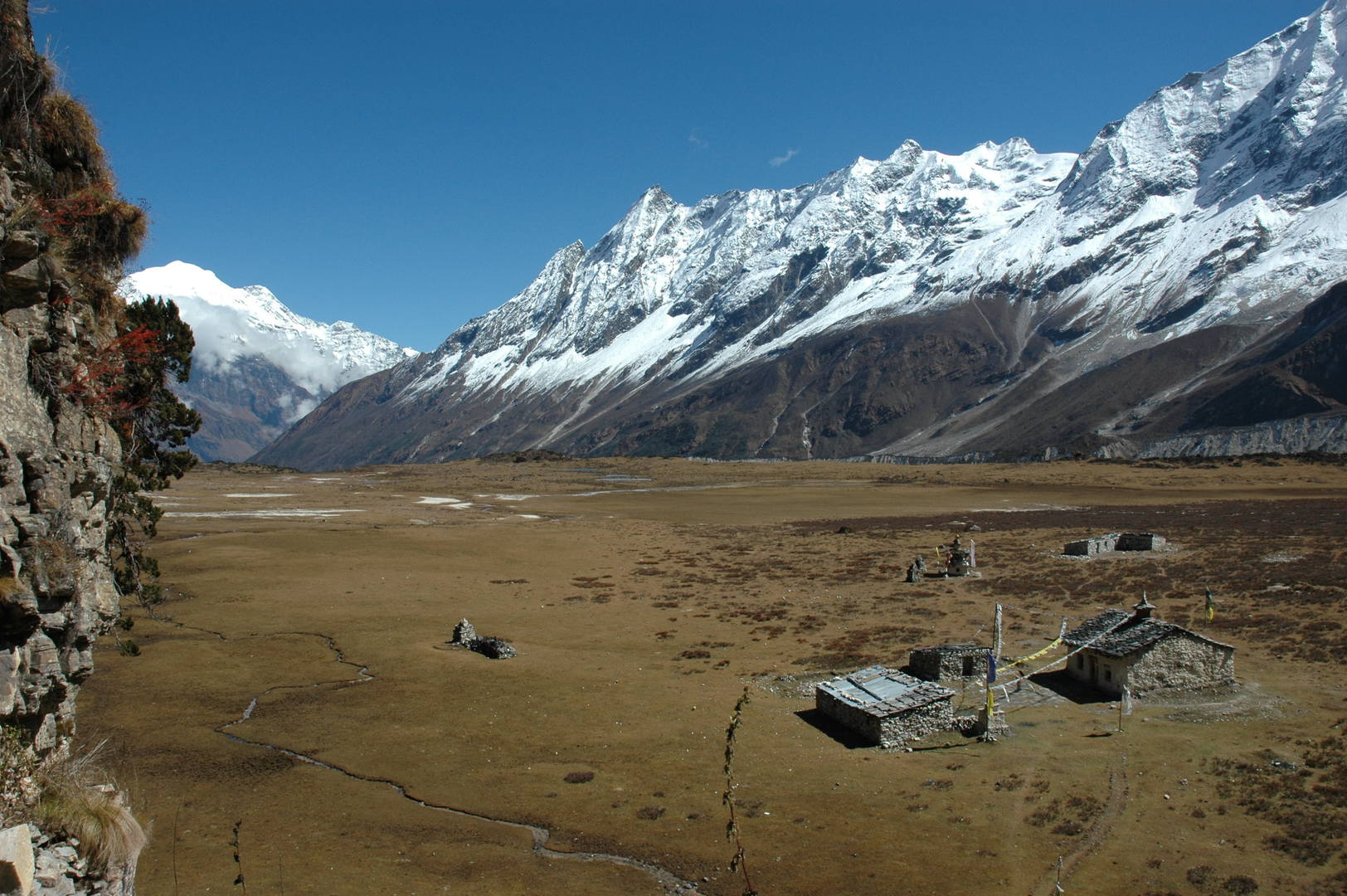 Pungyen :: the view from the cave gompa
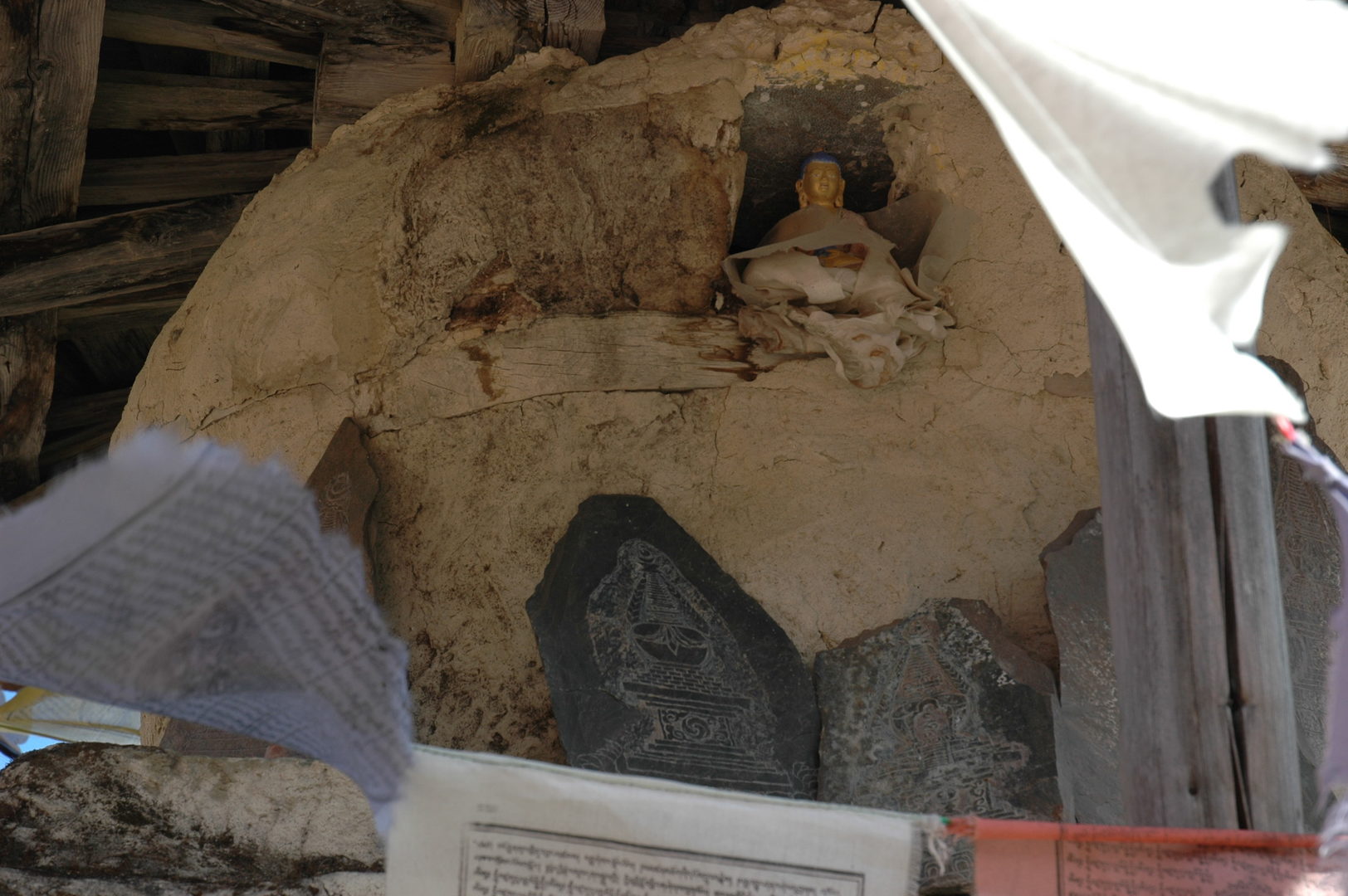 Pungyen :: statues
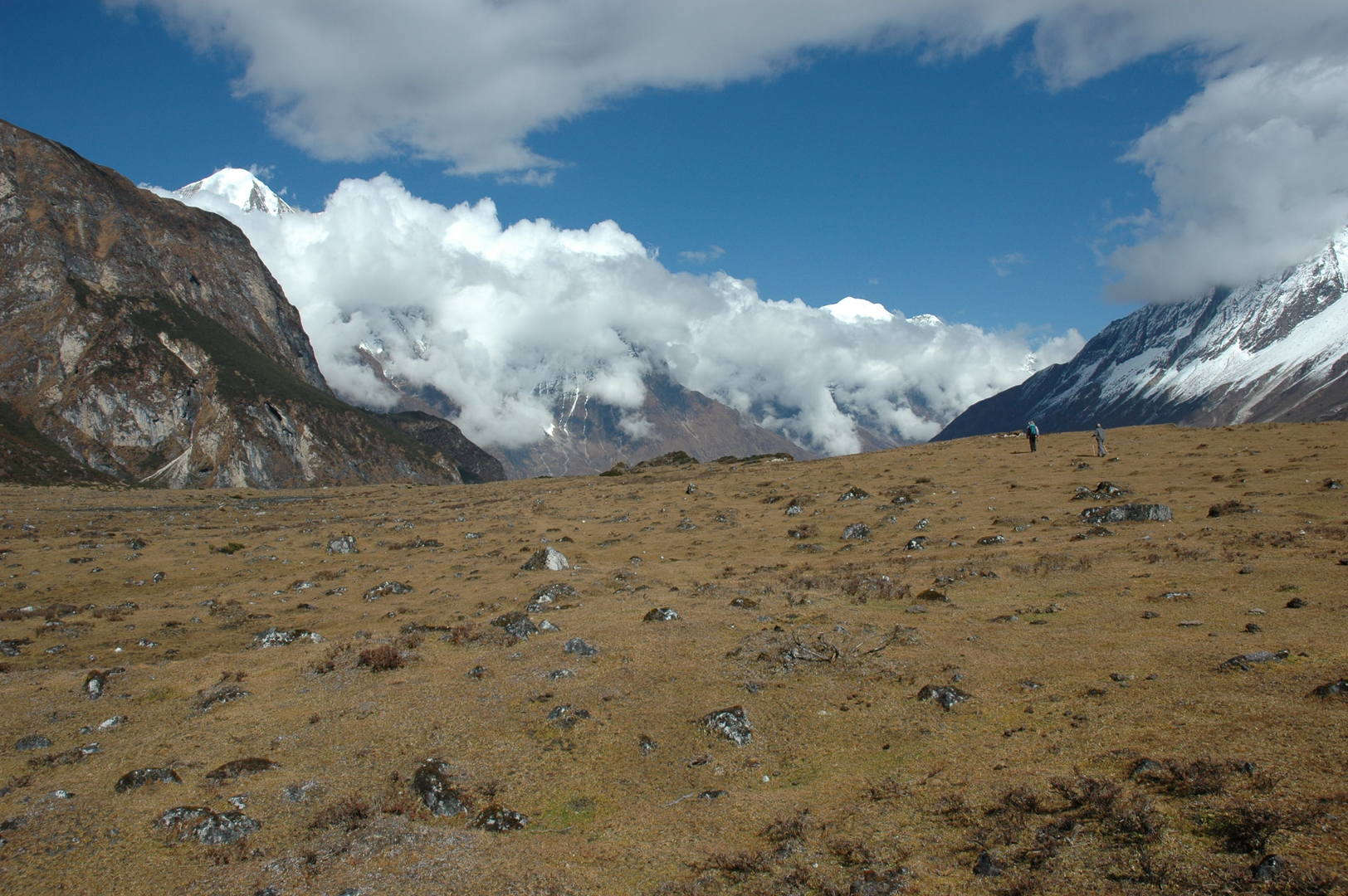 Pungyen :: going back through the kharka meadows
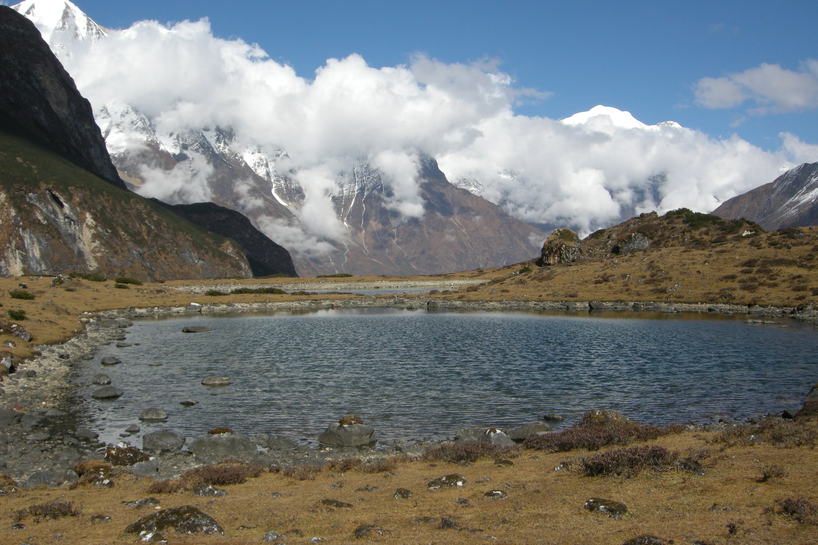 Pungyen :: lakes
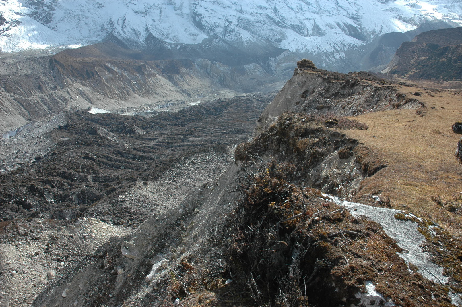 Pungyen :: the glacier morraines
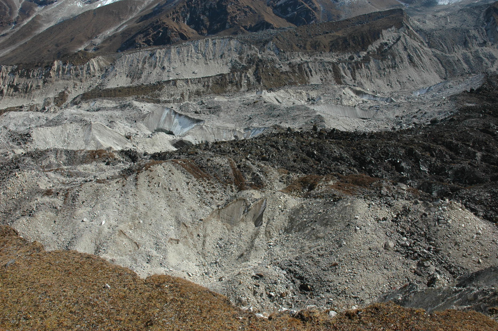 Pungyen :: the glacier body
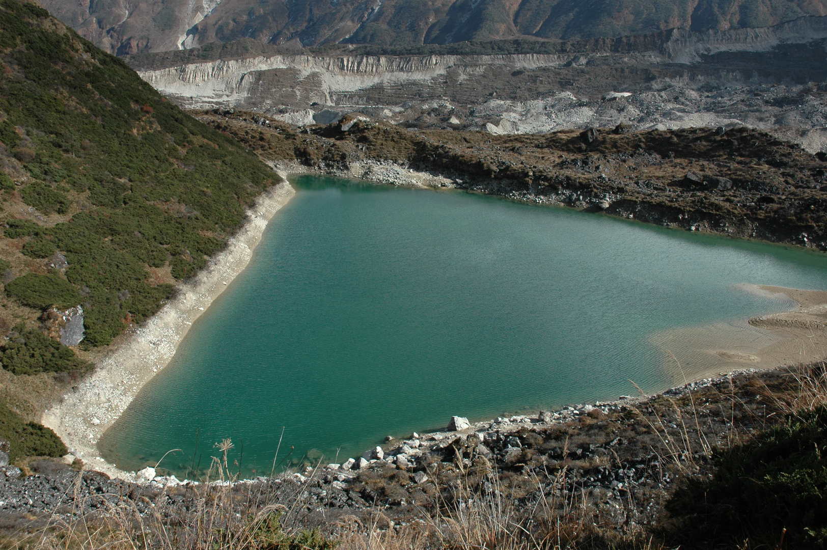 Pungyen :: the green glacier morraine lake
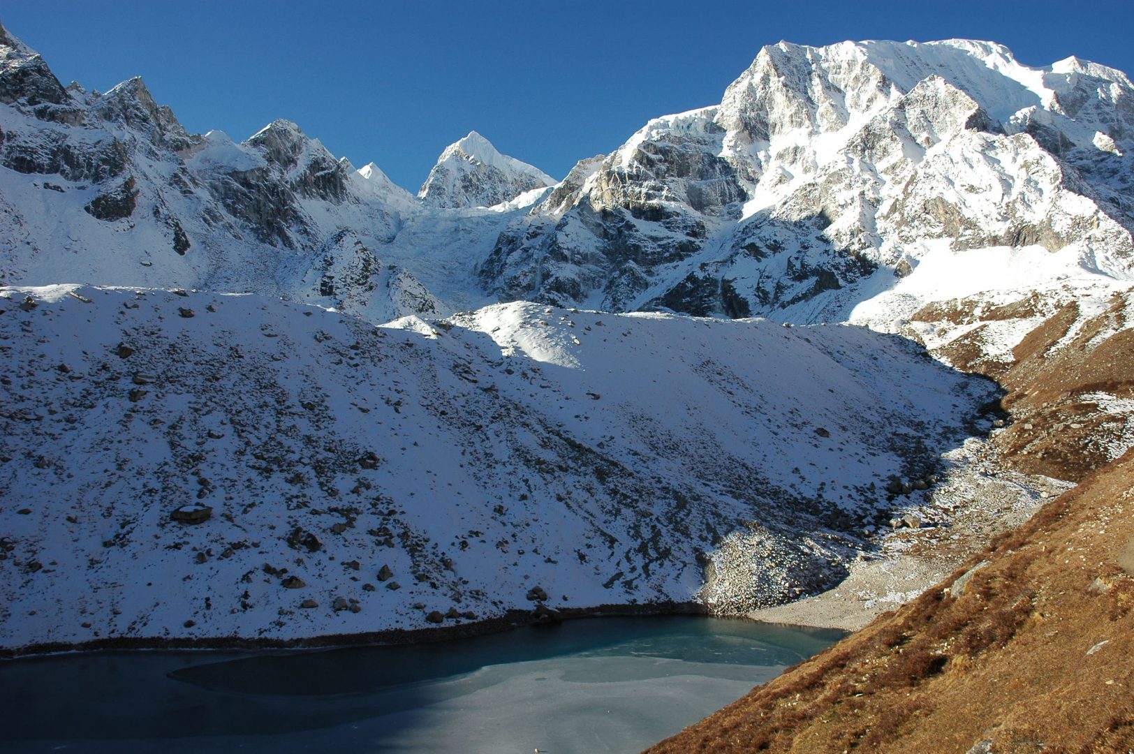
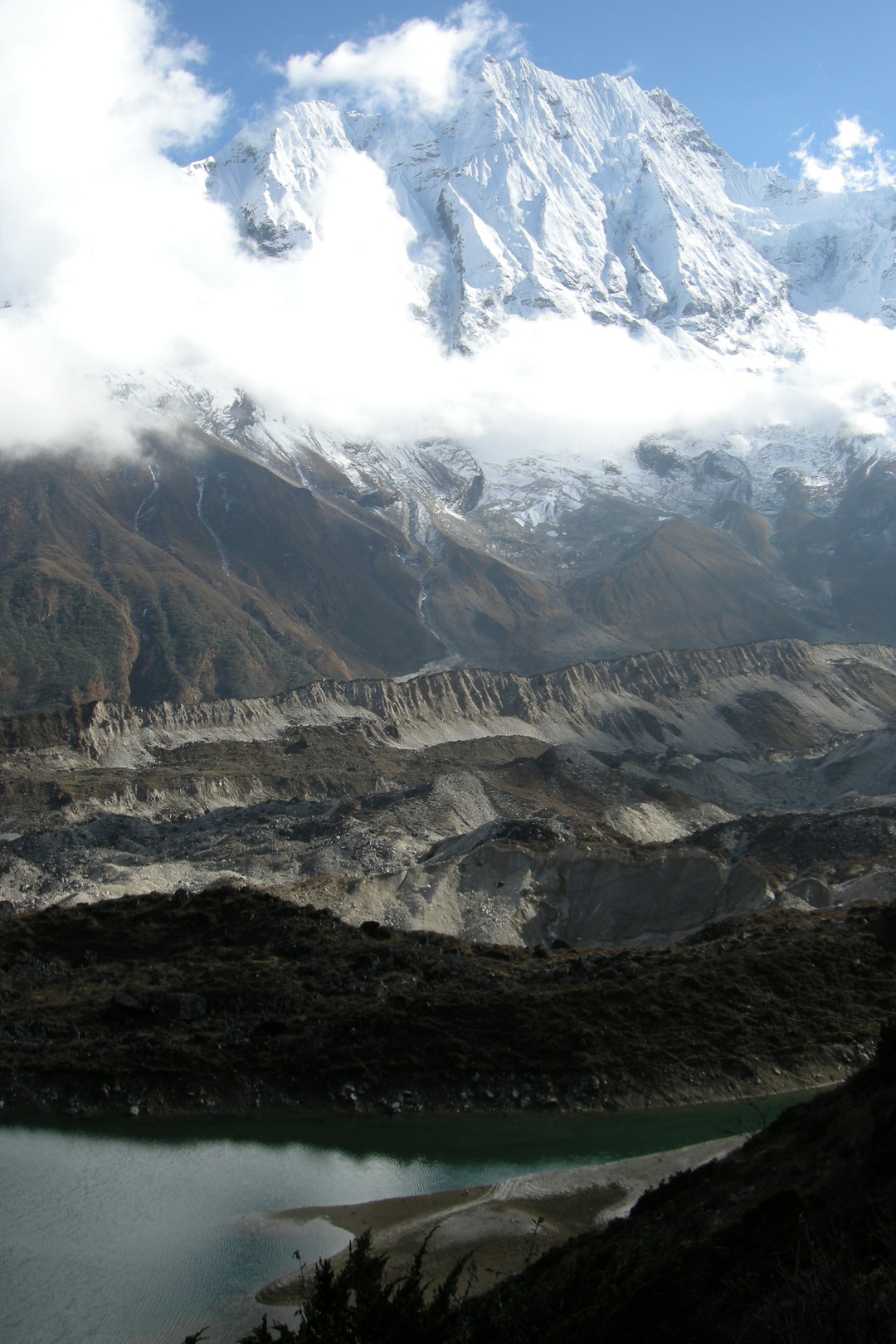 Pungyen :: the green glacier morraine lake surroundings
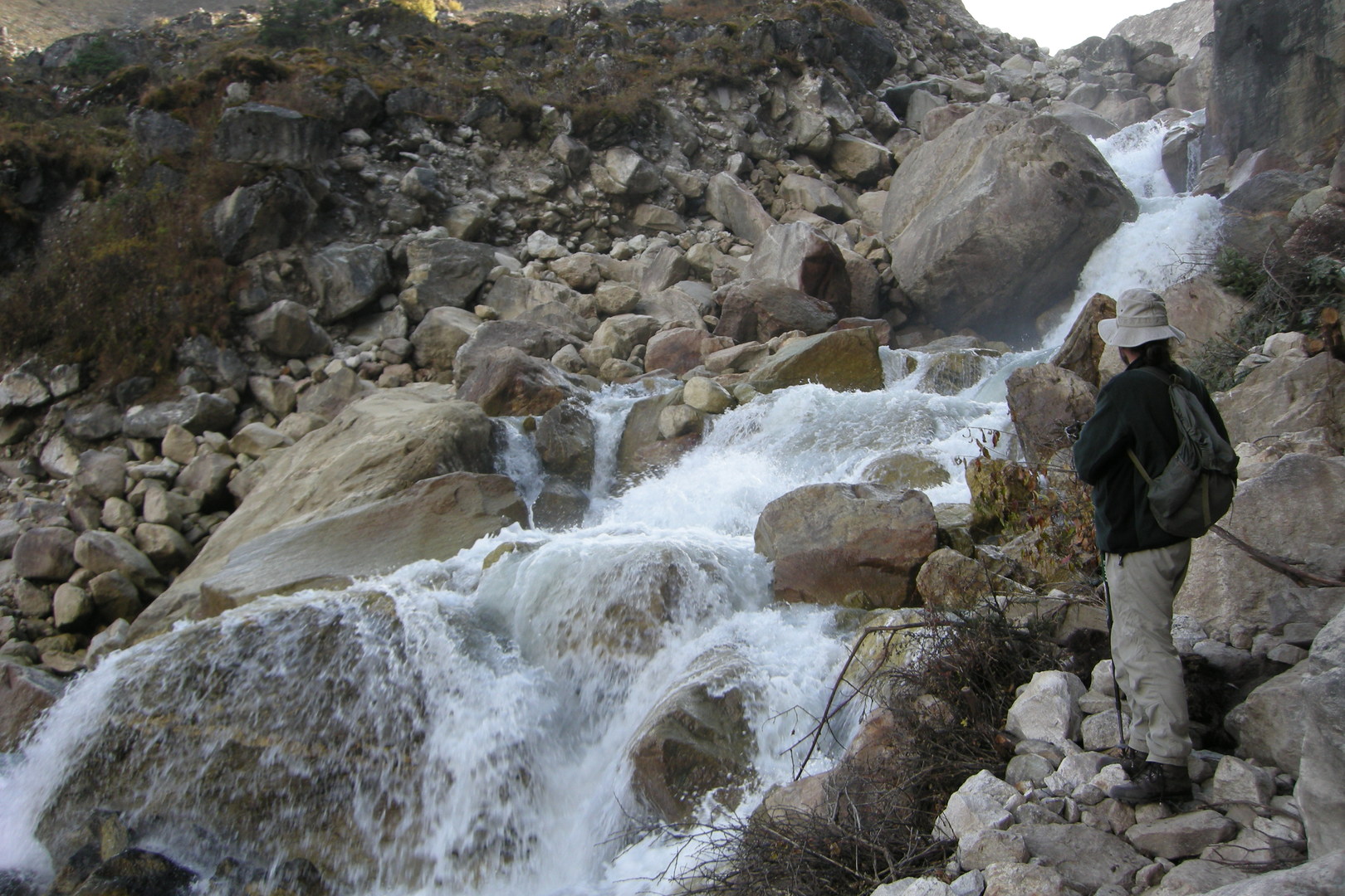 The Numla Khola valley :: downstream
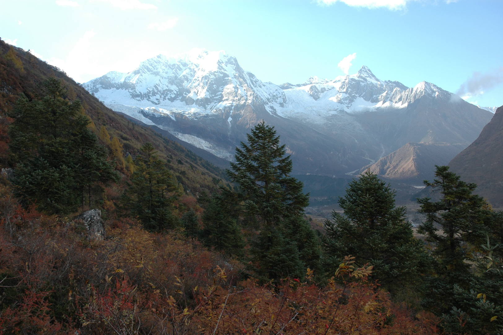 Approaching Samagaon :: Naike Peak in the autumn surroundings
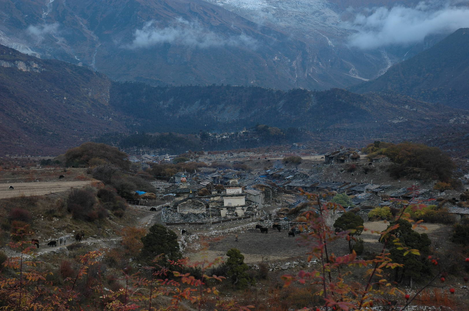 Samagaon :: the village in autumn moods
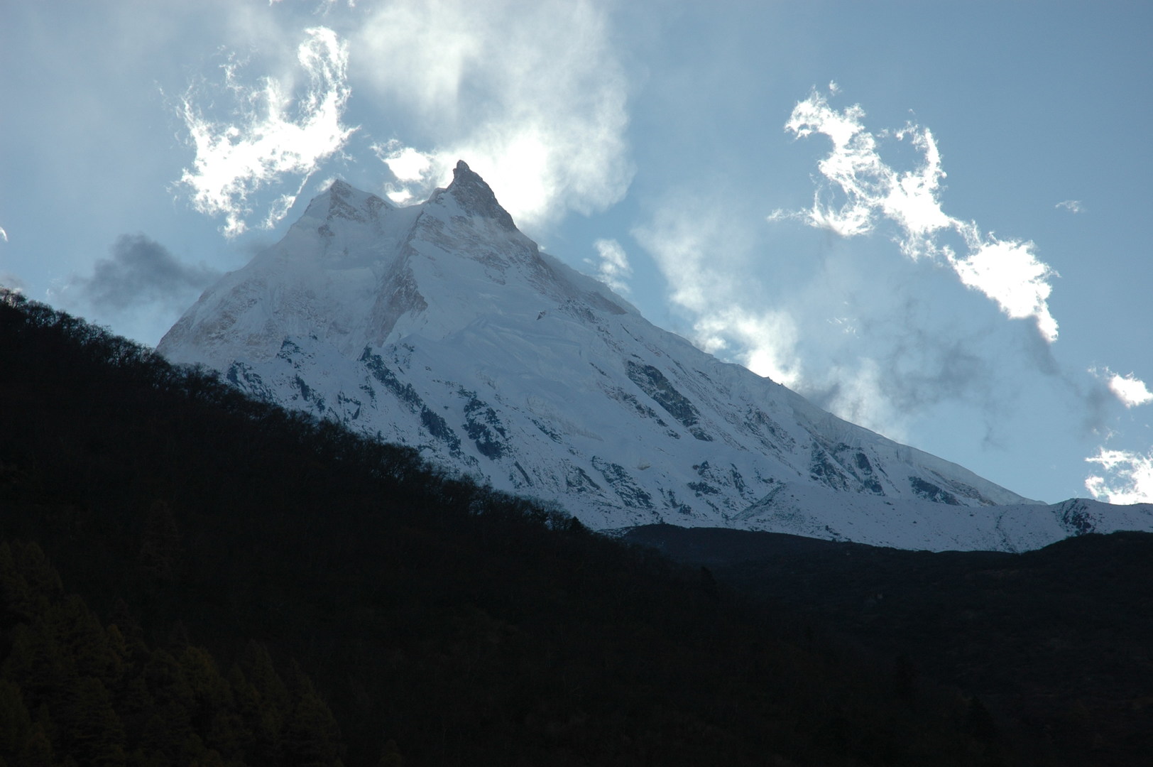 Samagaon :: Manaslu, again and again...
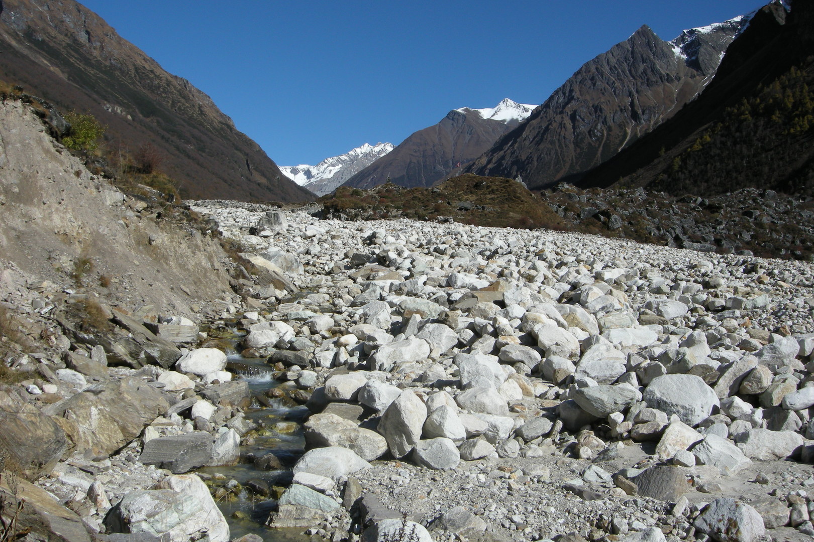 Towards Samdo :: the edge of the Manaslu Glacier frontal morraine
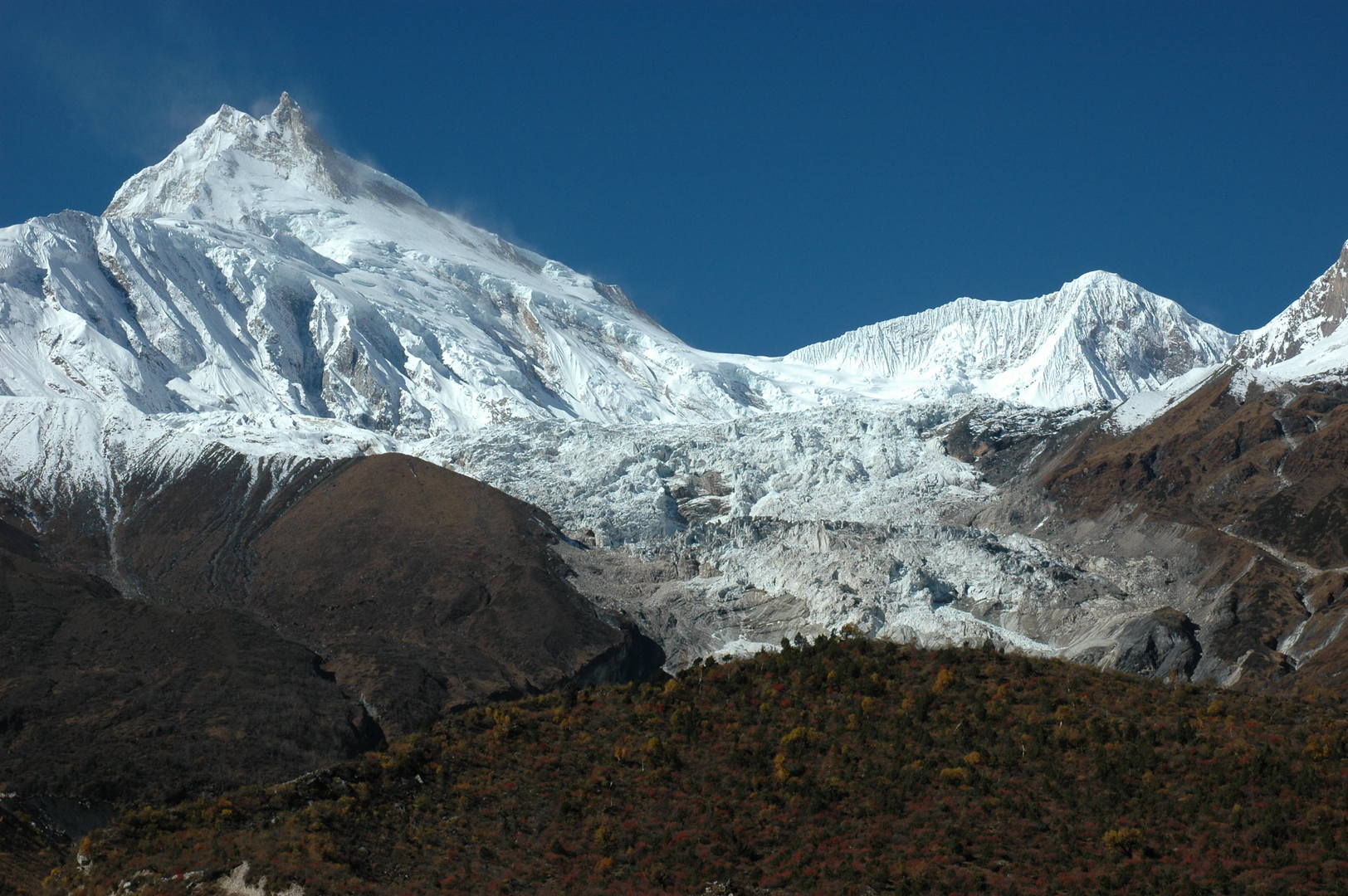 Towards Samdo :: Manaslu top and the Manaslu Glacier fall
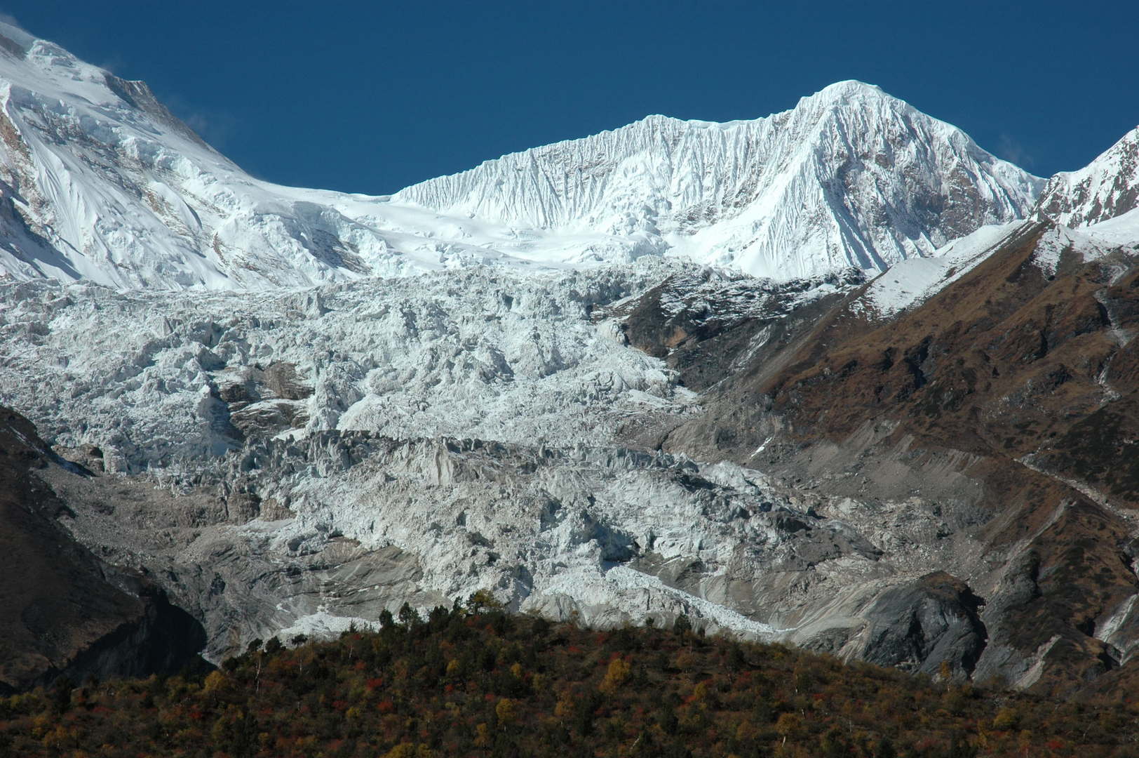 Towards Samdo :: The Manaslu Glacier fall zoomed
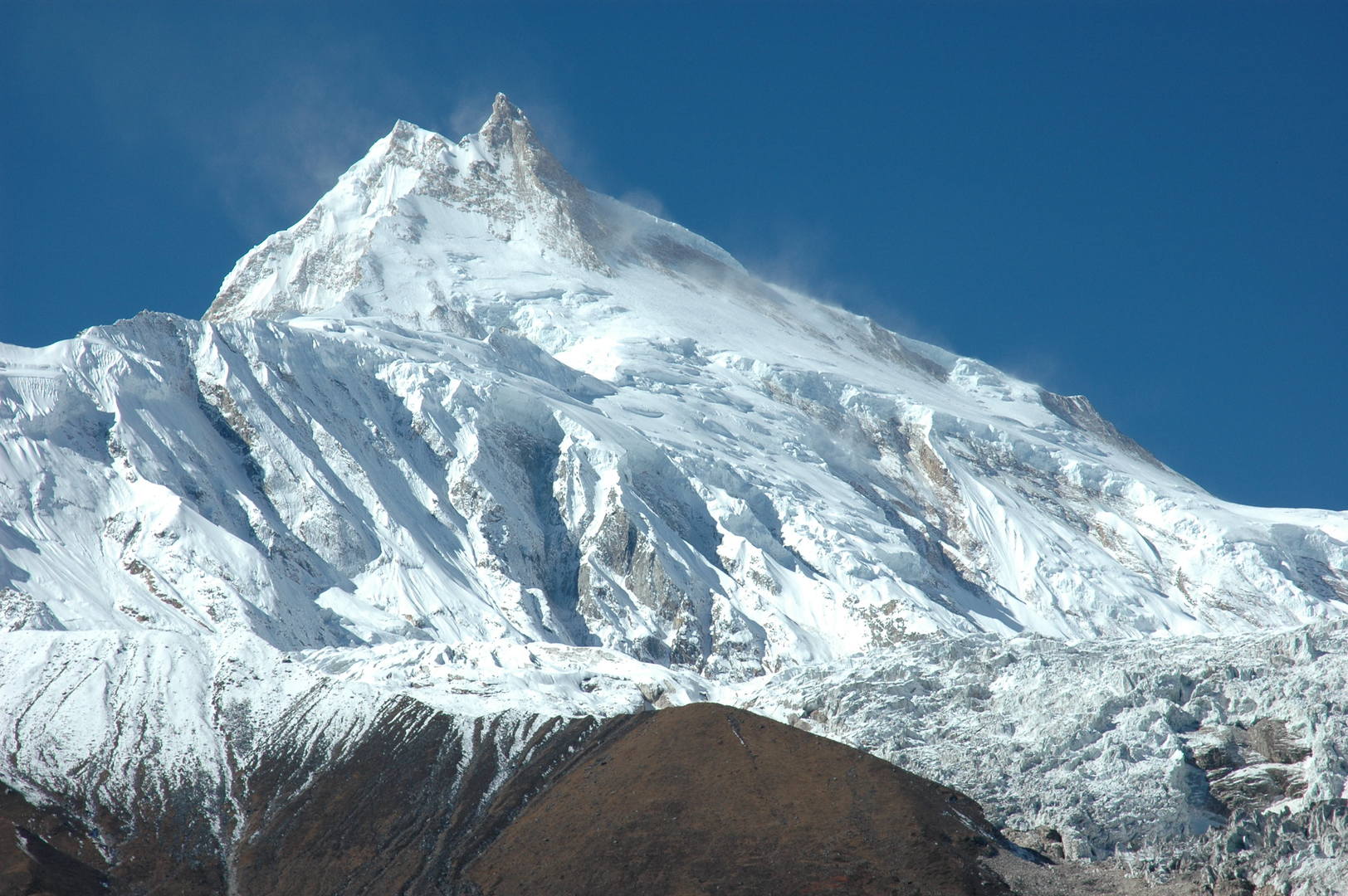 Towards Samdo :: Manaslu top zoomed :: the classical route
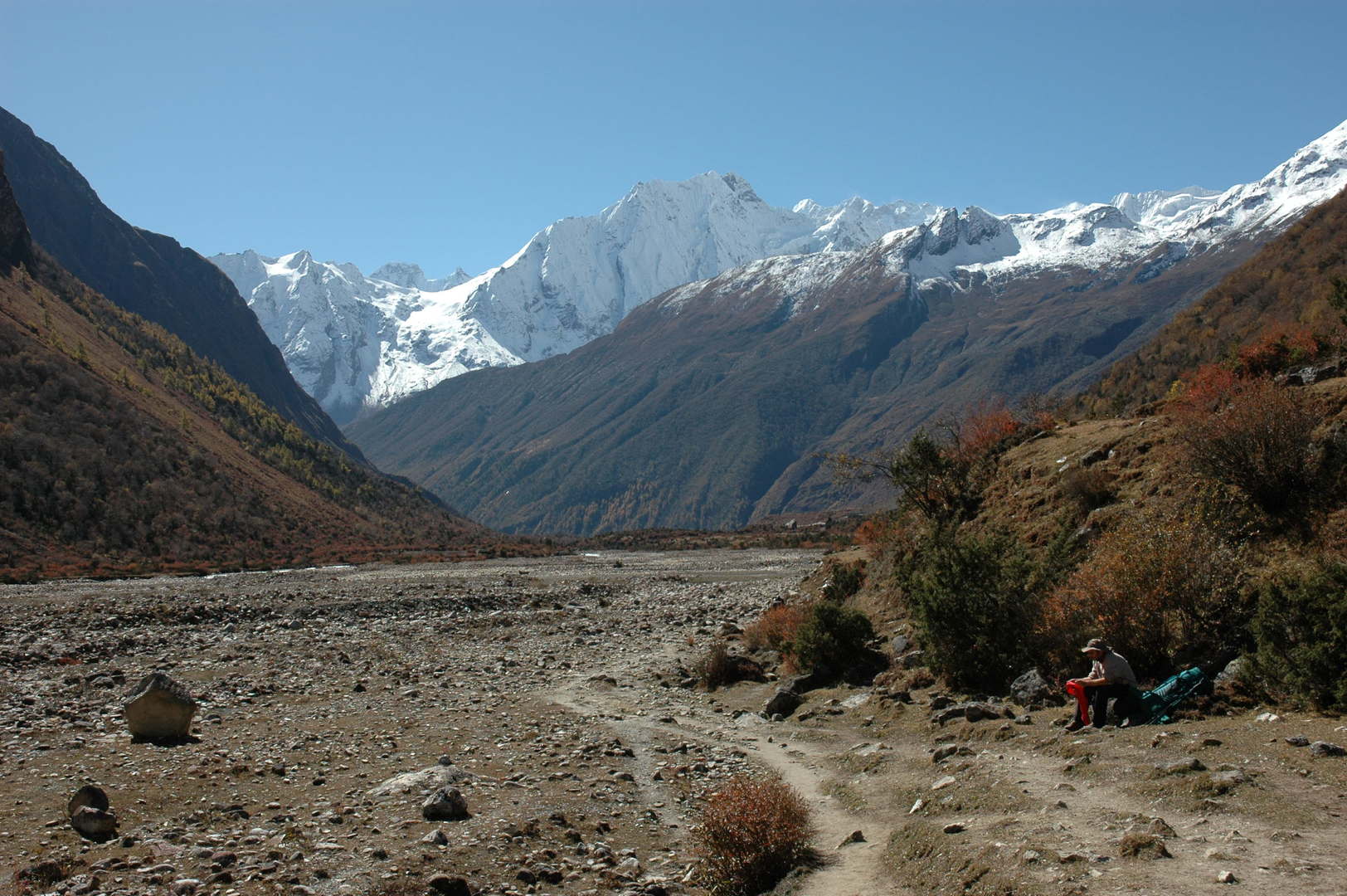 On the trail to Samdo :: looking south
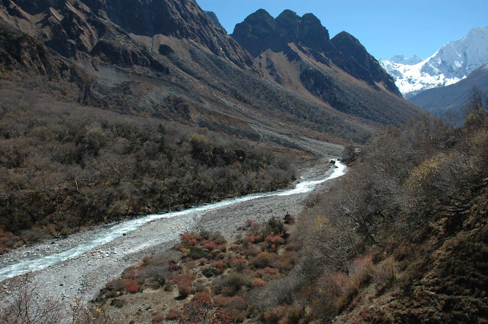 On the trail to Samdo :: the upper Budhi Gandaki
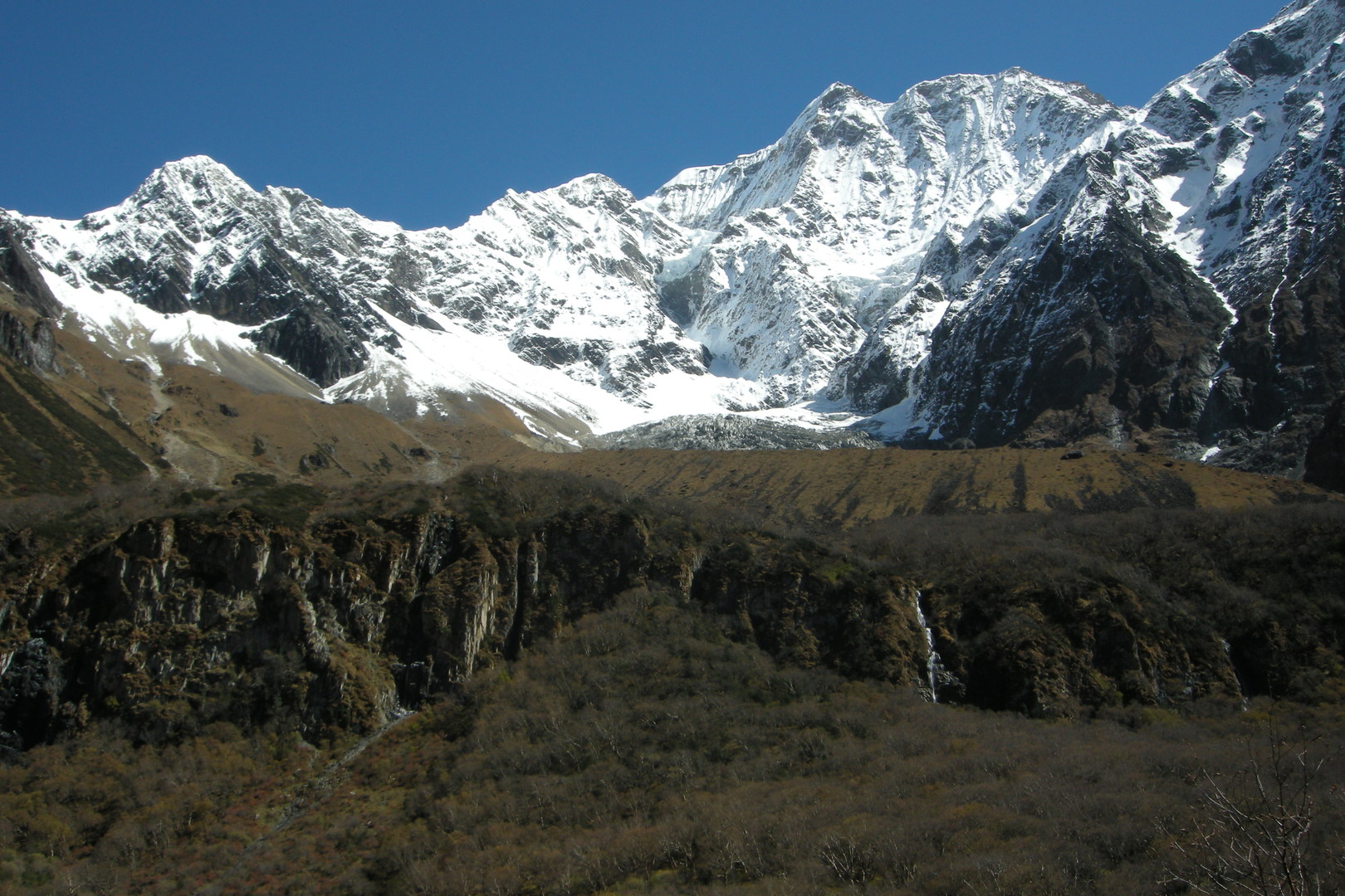 On the trail to Samdo :: Panpoche Himal
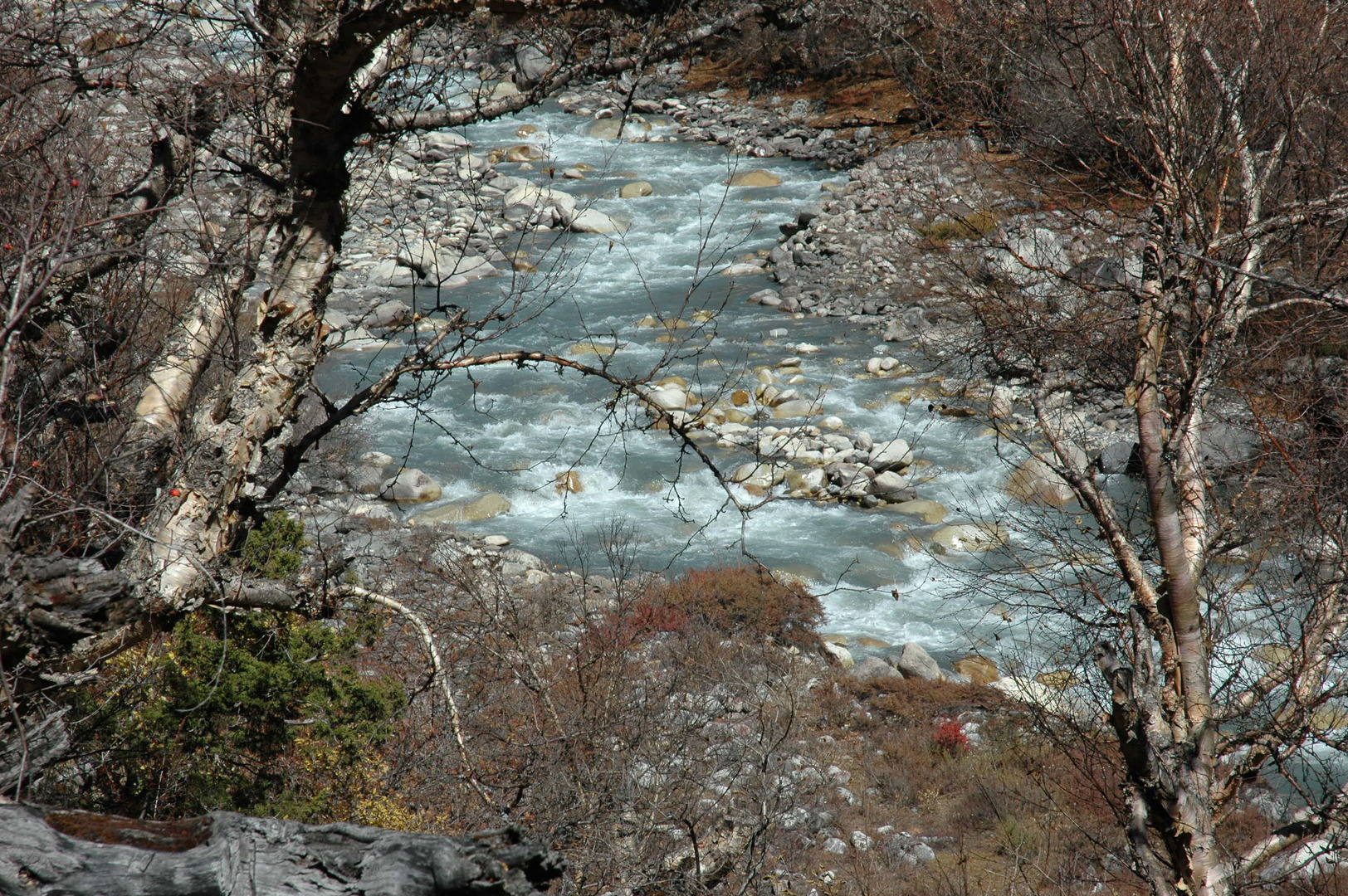 On the trail to Samdo :: the upper Budhi Gandaki
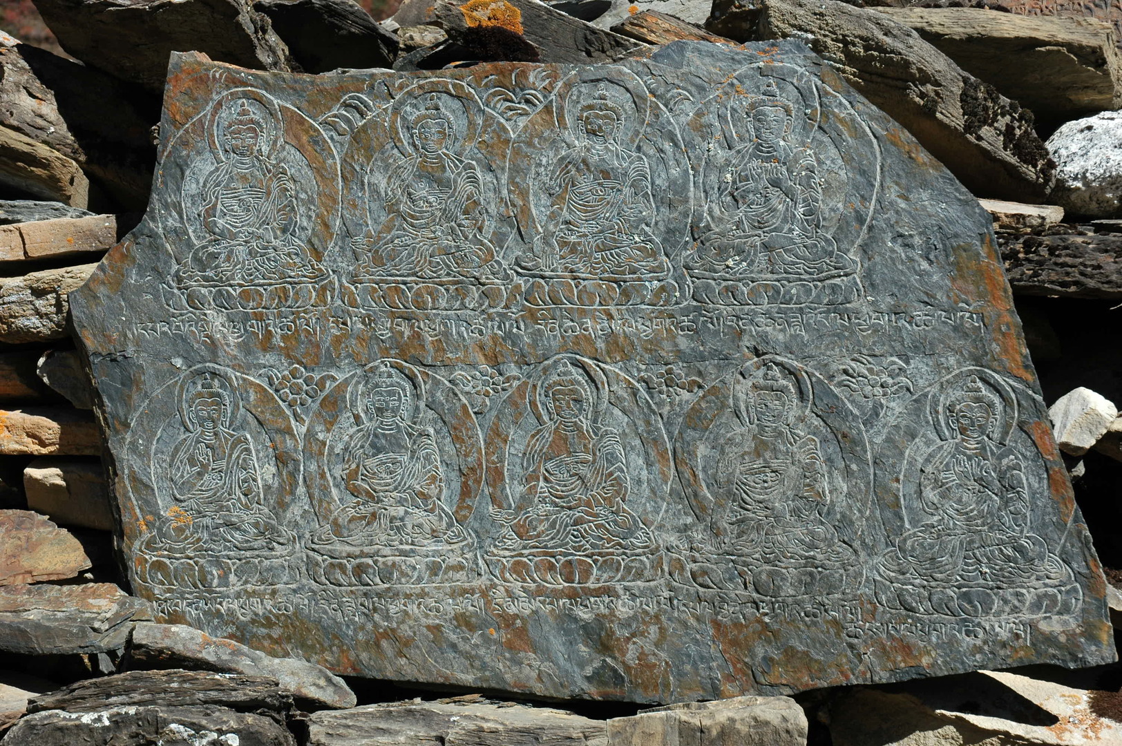 On the trail to Samdo :: Buddhas on a mani wall
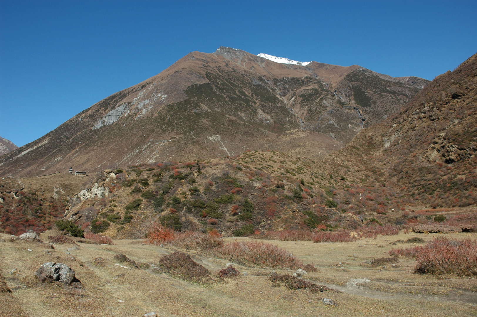 By Samdo :: the village entrance chorten in sight, Samdo Ri above
 By Samdo :: crossing Budhi Gandaki just below the village
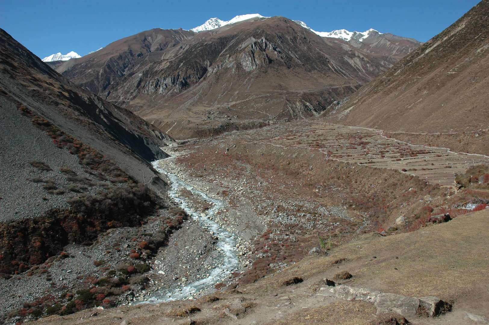 Samdo :: looking towards Larkya Bazaar ruins
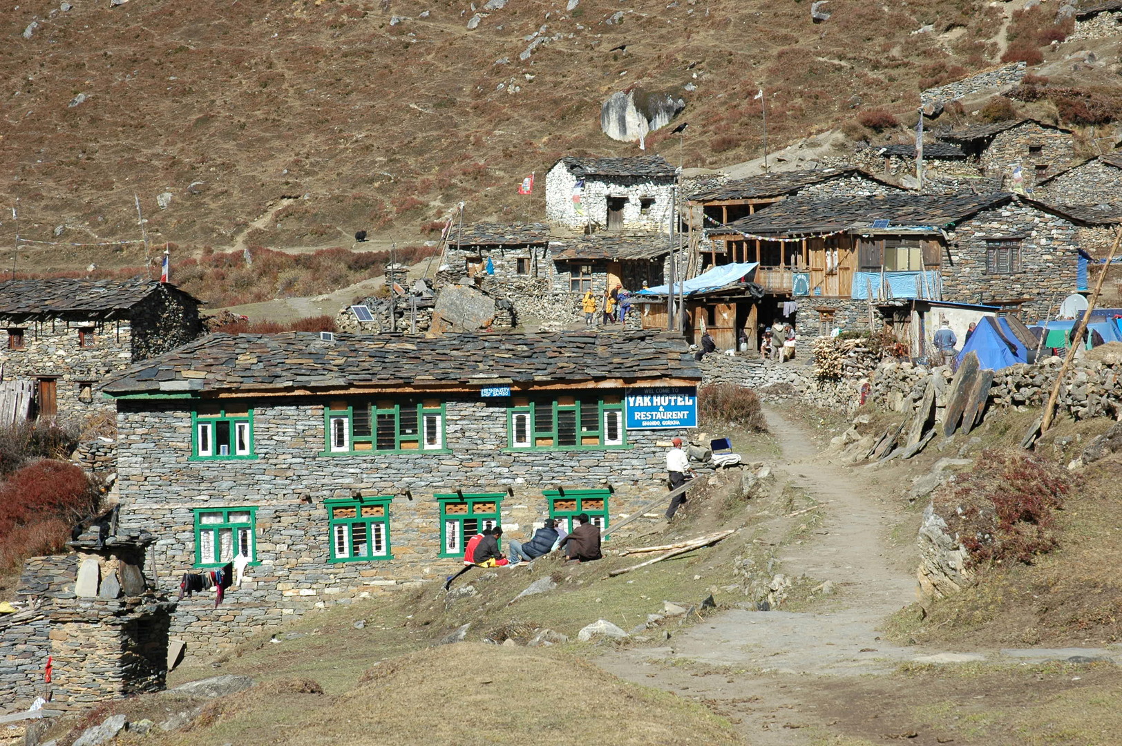 Samdo :: the lower village part with lodges
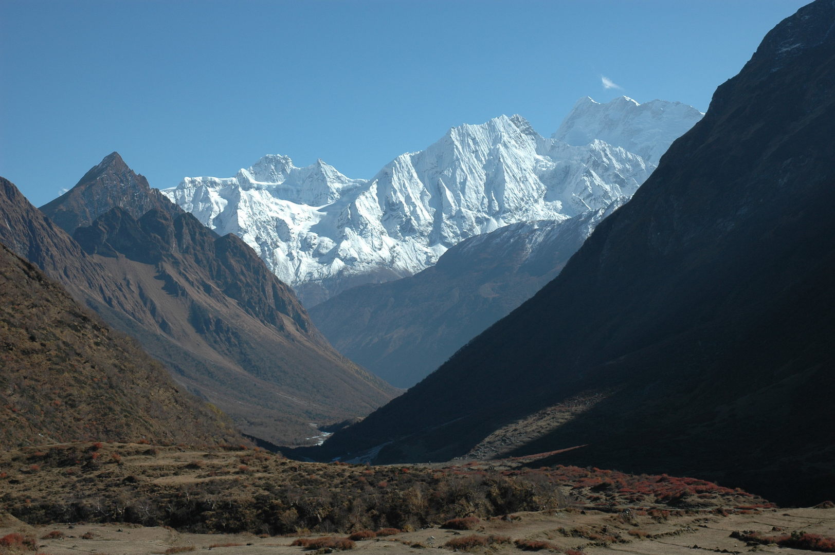 Samdo :: the view south towards Baudha and Himalchuli over the Simnang Himal
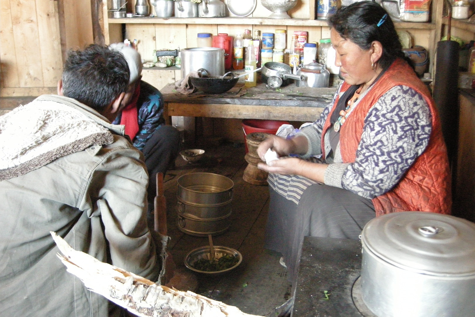 Samdo :: in the Tibetan Twins lodge kitchen
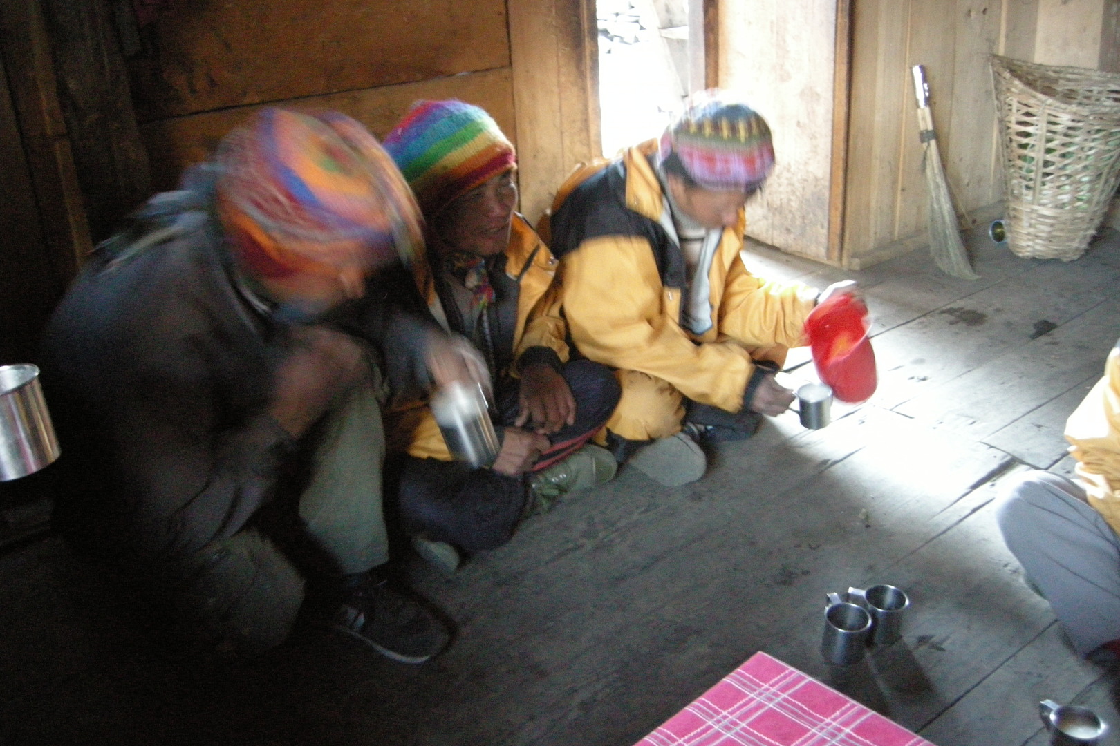 Samdo :: in the Tibetan Twins lodge kitchen
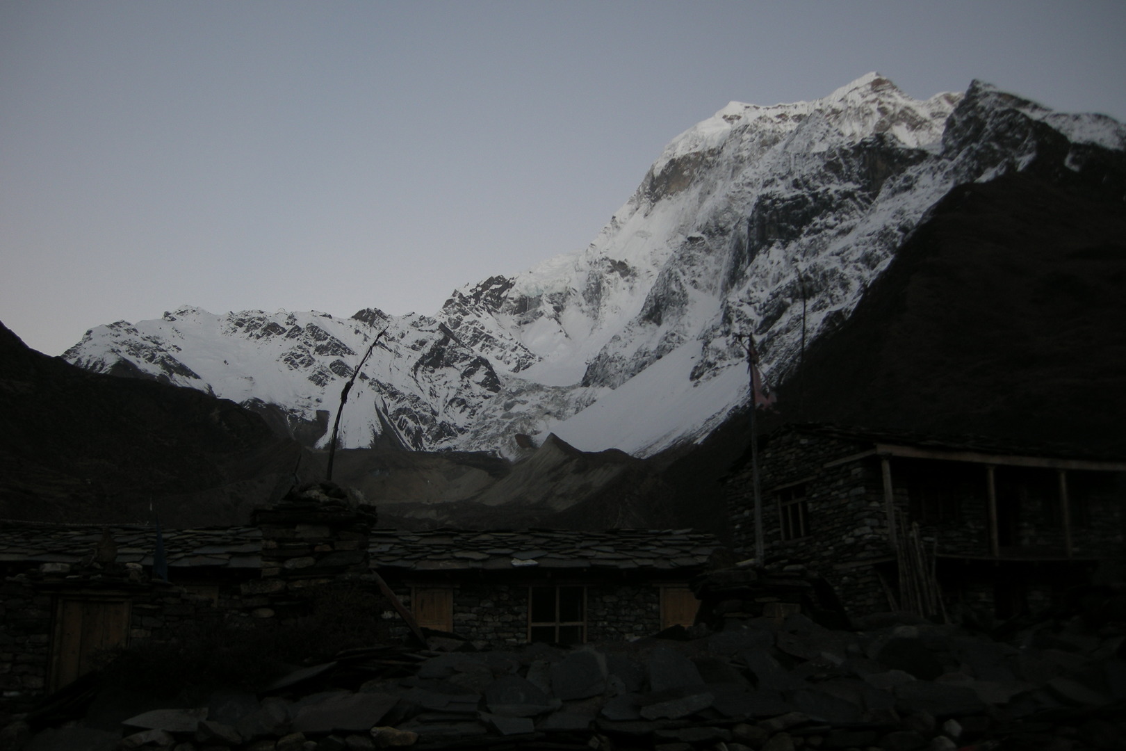 Samdo :: the evening
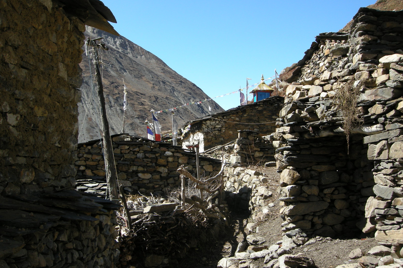 Samdo :: in the upper village
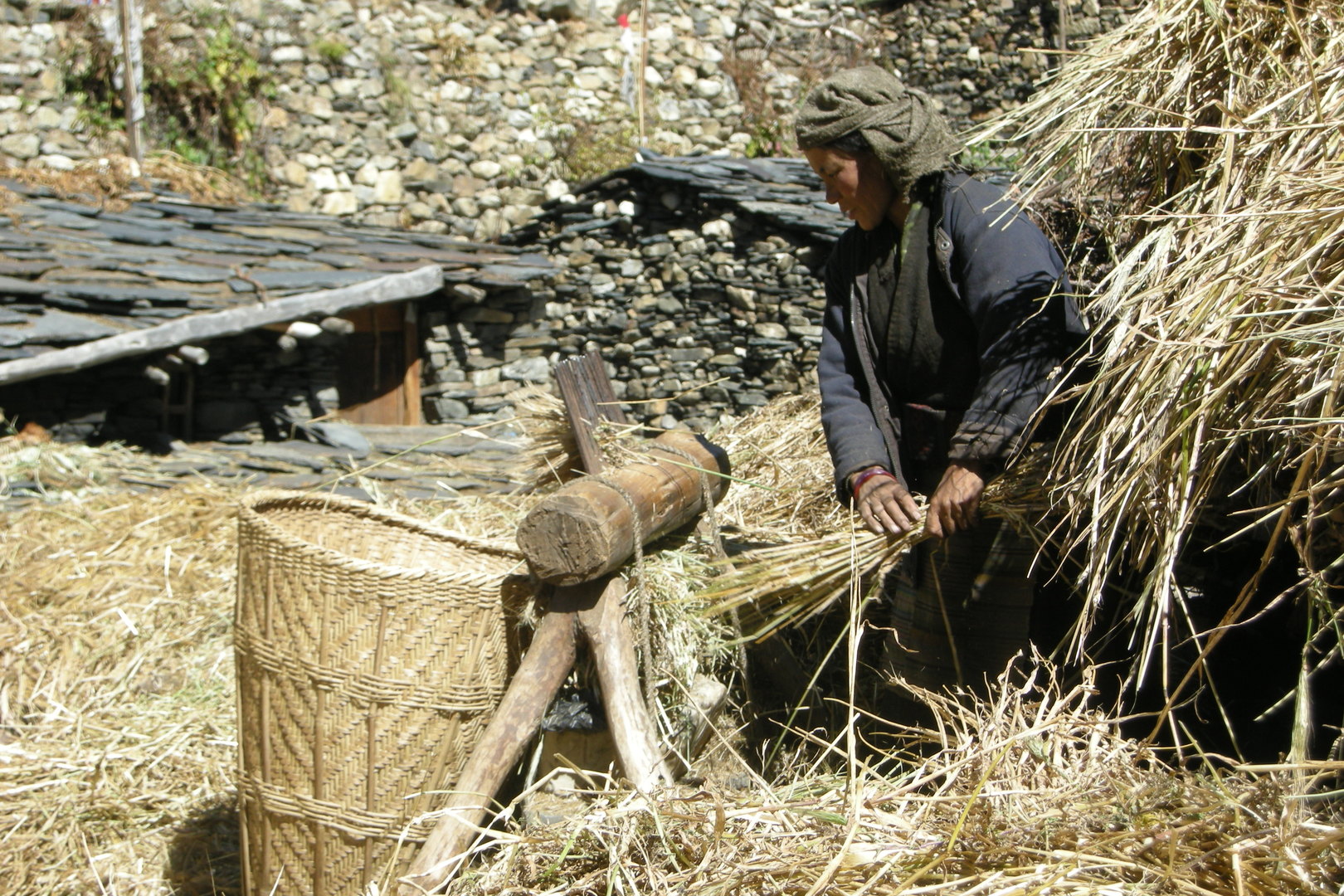 Samdo :: in the upper village
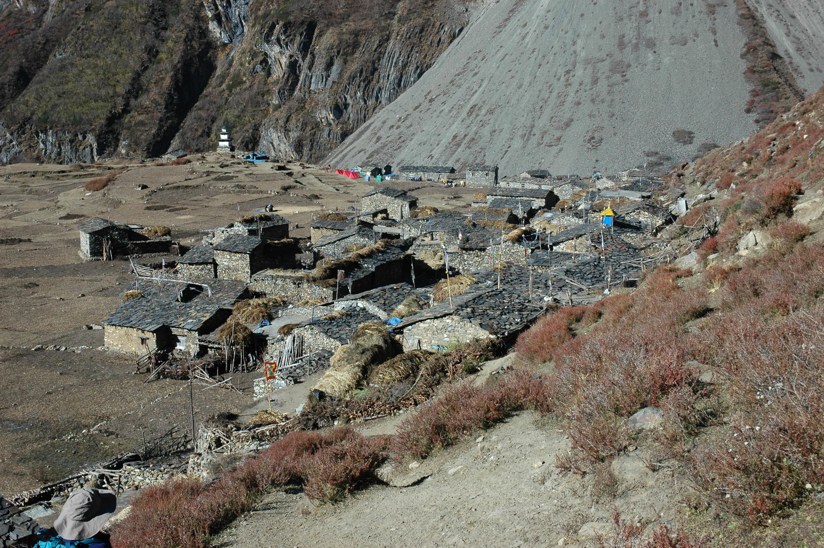 East of Samdo :: the whole village
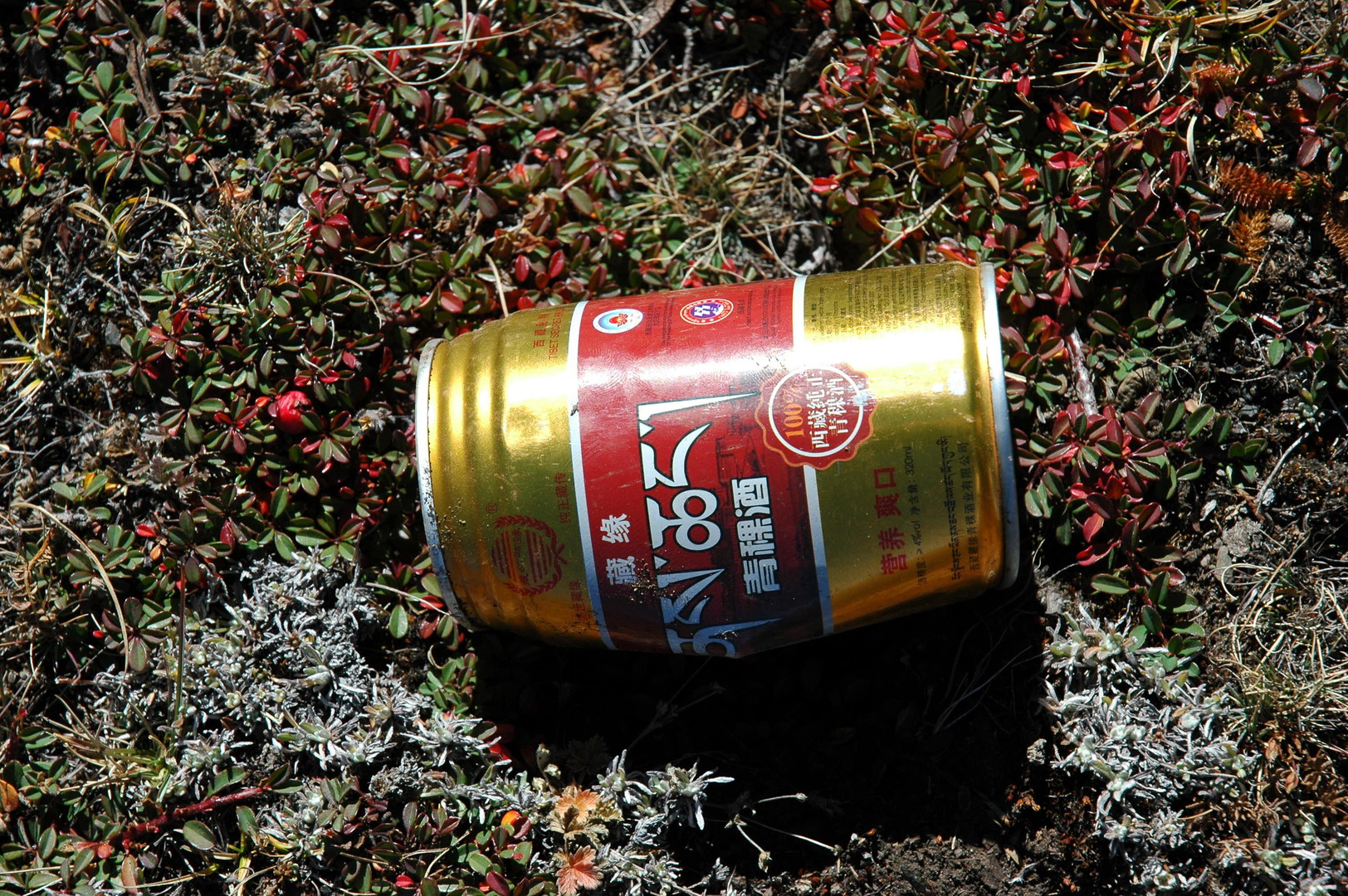 East of Samdo :: the trail to Tibet :: a witness - the Lhasa Beer can
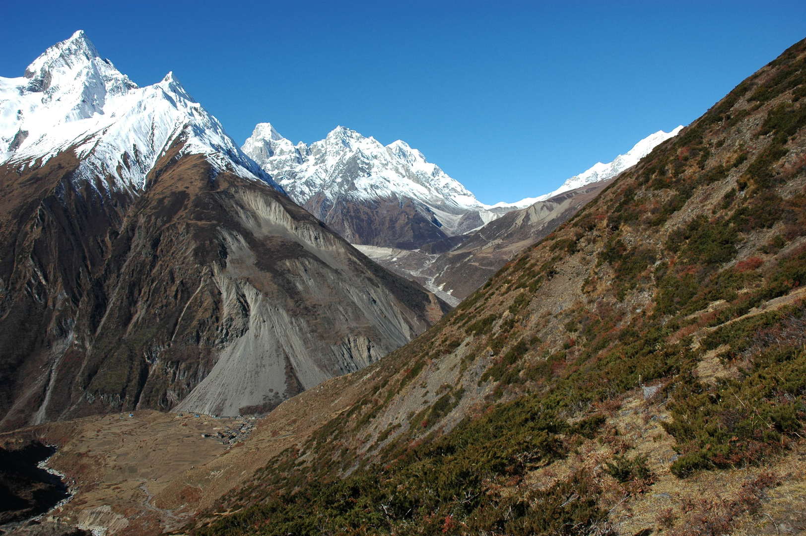 East of Samdo :: the Naike and Larkya Peaks appear
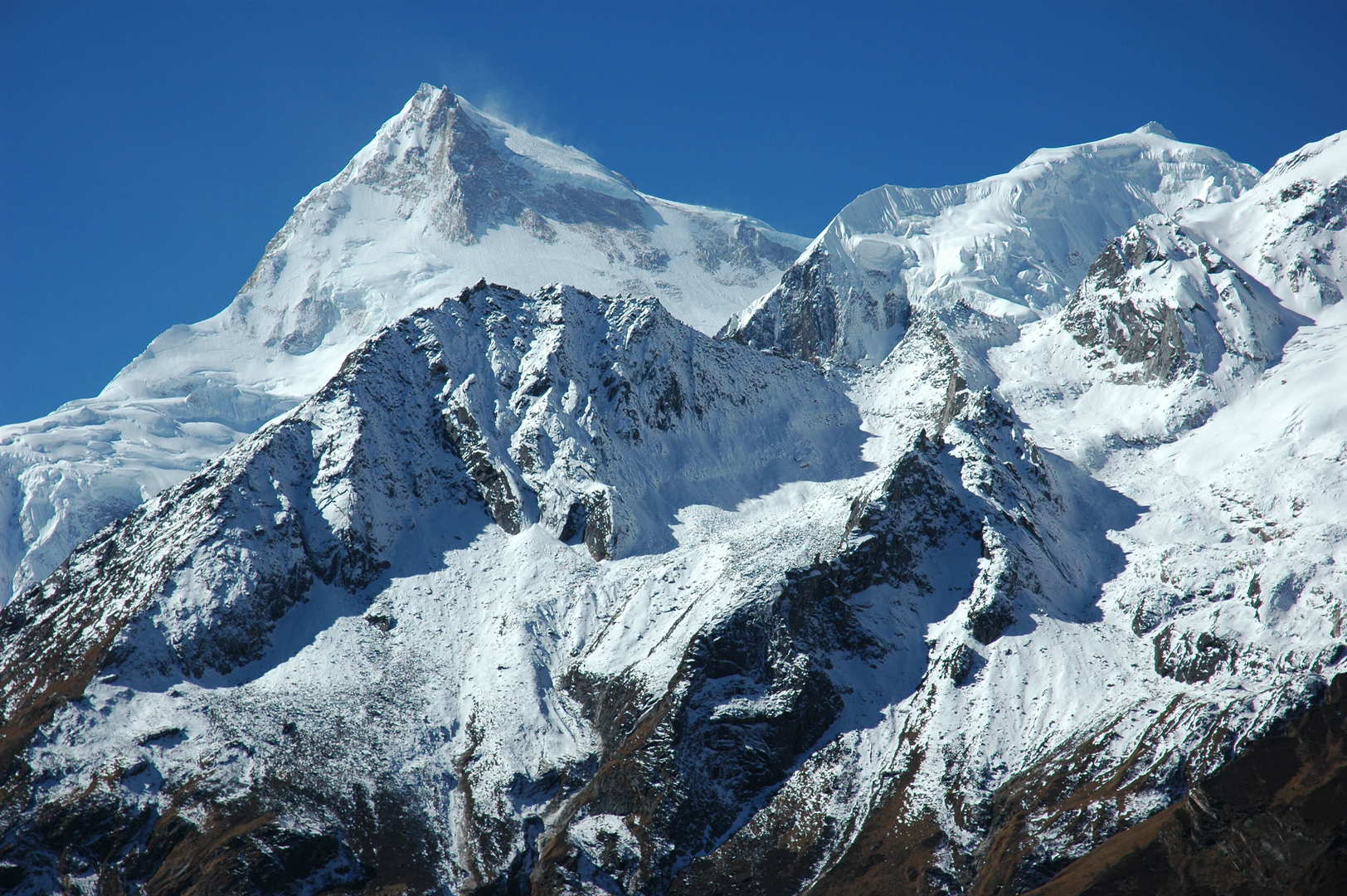 East of Samdo :: Manaslu over the Naike Peak side ridges
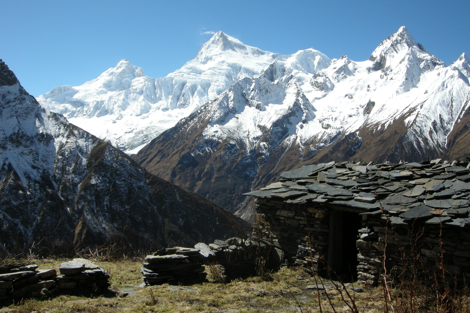 East of Samdo :: Byalikharka
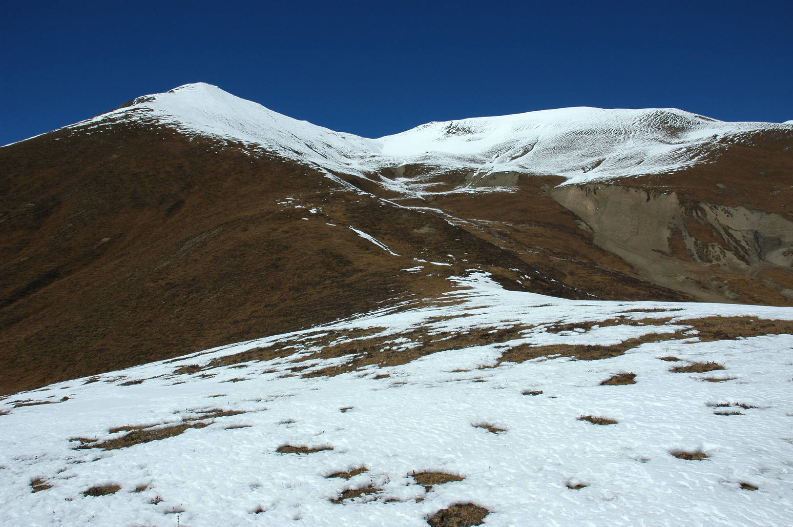 Samdo Ri approach :: the mild eastern slopes
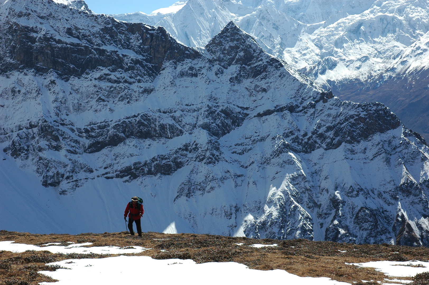 Samdo Ri approach :: climbing slowly...
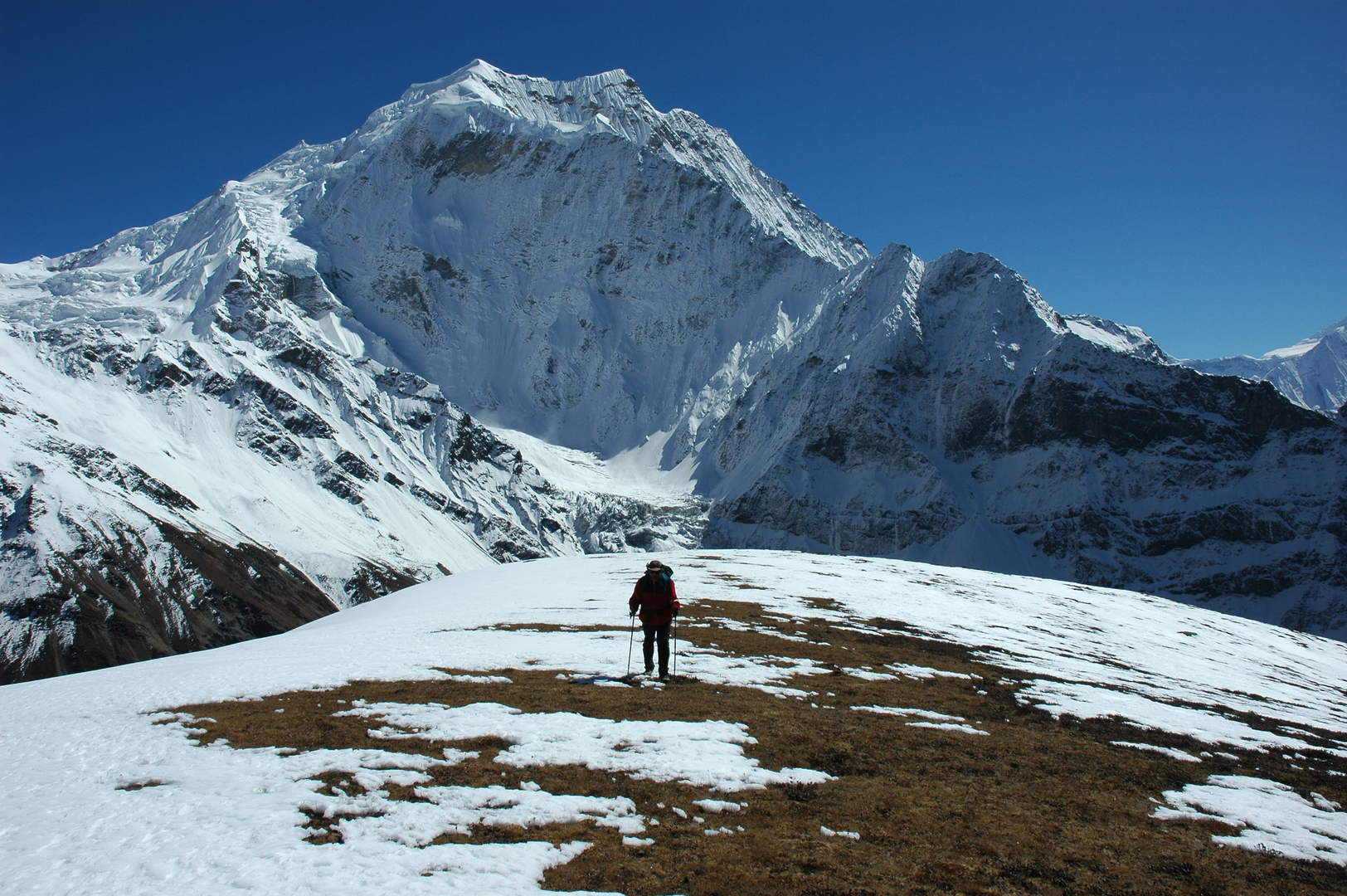 Samdo Ri approach :: the characteristic Samdo Peak behind
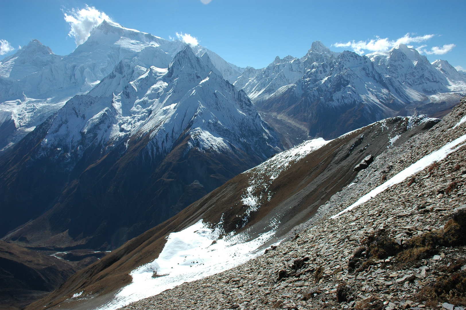 Samdo Ri approach :: the view towards Manaslu (behind) and Naike Peak (in front)
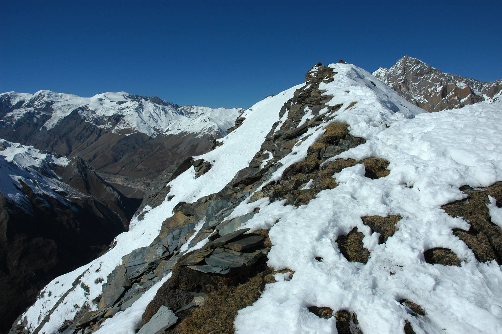 Samdo Ri :: the last heavy steps to the top of the hill
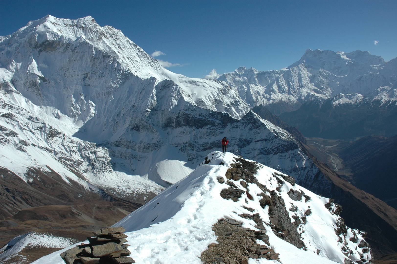 Samdo Ri :: the view SE, Samdo Peak, the valley with Samagaon, the Himalchuli behind the Simnang Himal
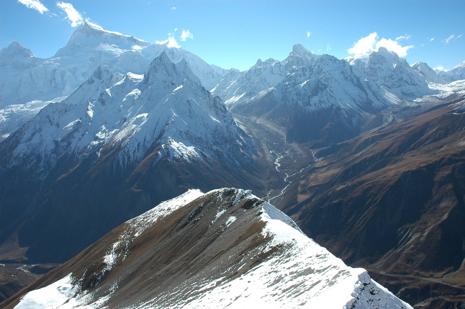 Samdo Ri :: the view SW, Manaslu over the Naike Peak, Larkya Himal
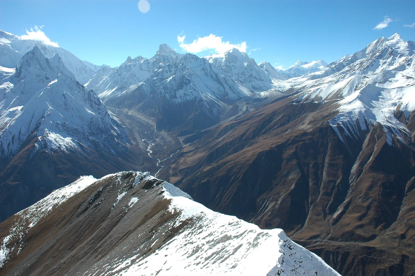 Samdo Ri :: the view W, Larkya La approach, valleys of Syacha and Larkya Glaciers
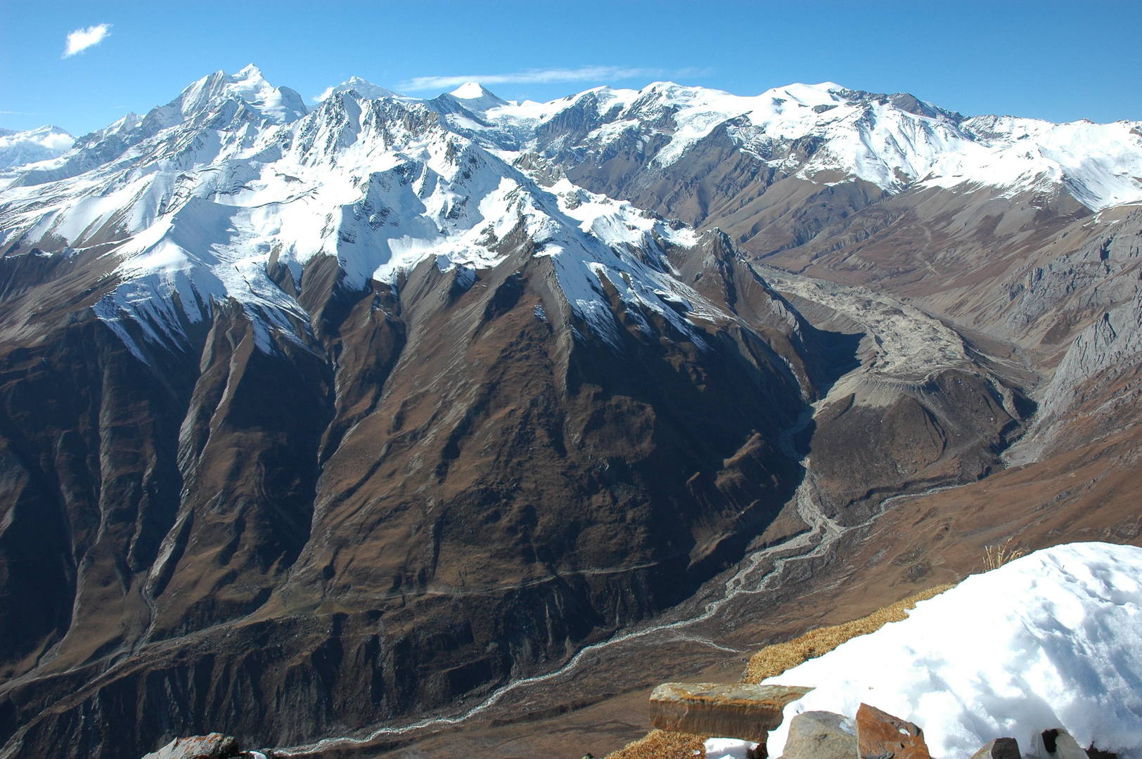 Samdo Ri :: the view NW, Cho with Himlung Himal behing, Gyala, Fukang Glacier
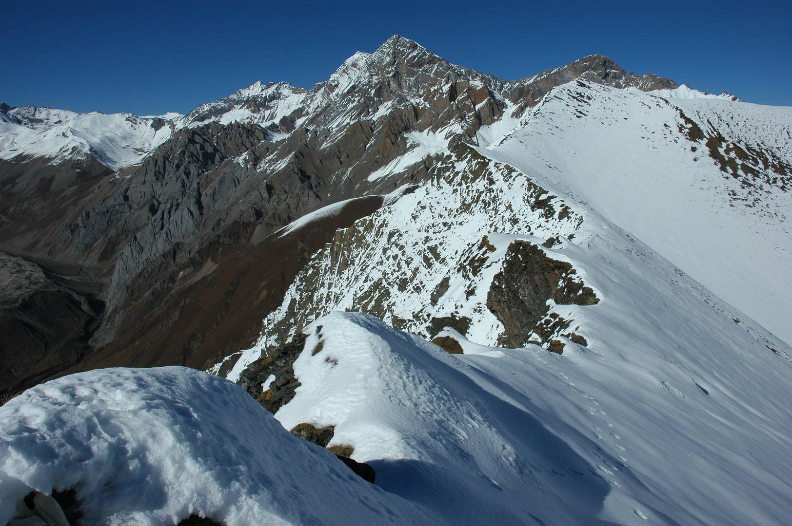 Samdo Ri :: the view N, Swelokhan and Lajyung Himal - the Tibetan border
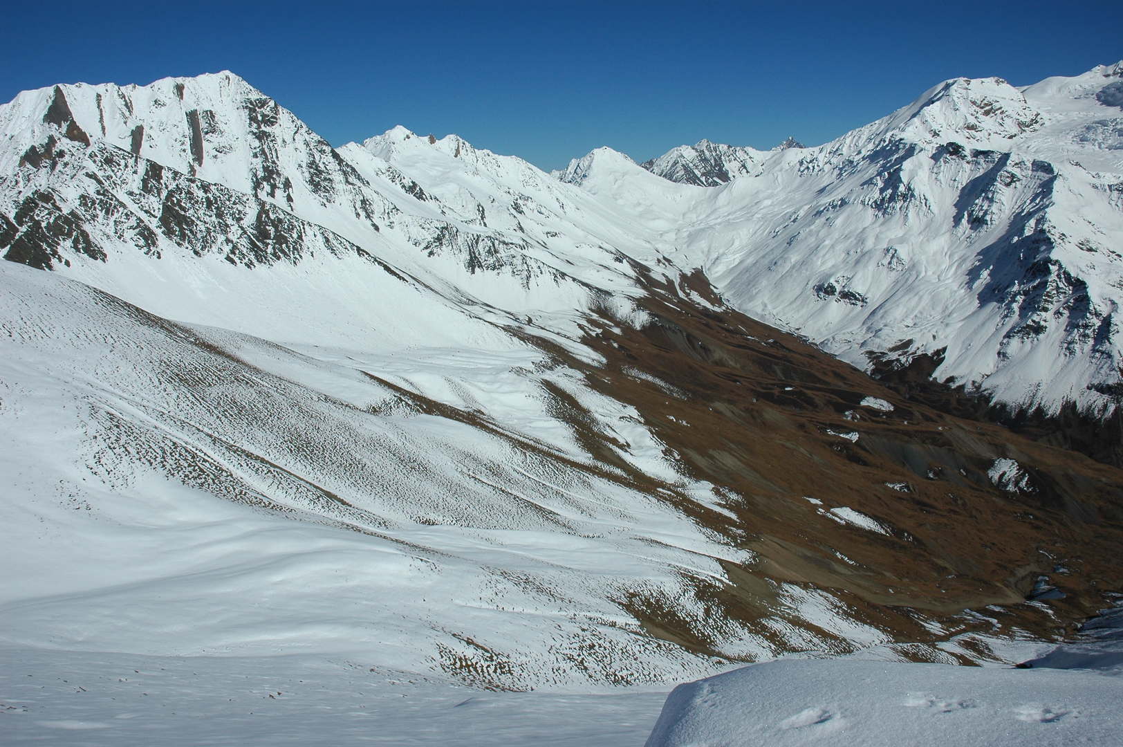 Samdo Ri :: the view E, Tasa Peak, Lajyung La and Hayang La surroundings
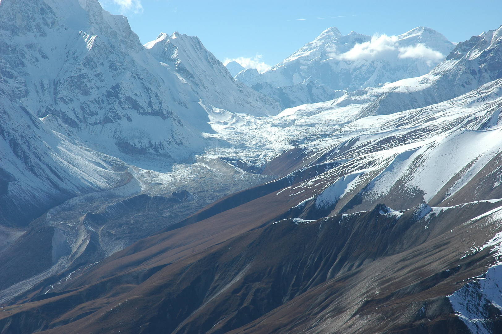 Samdo Ri :: the trail to Larkya La zoomed, Kang Guru Himal behind
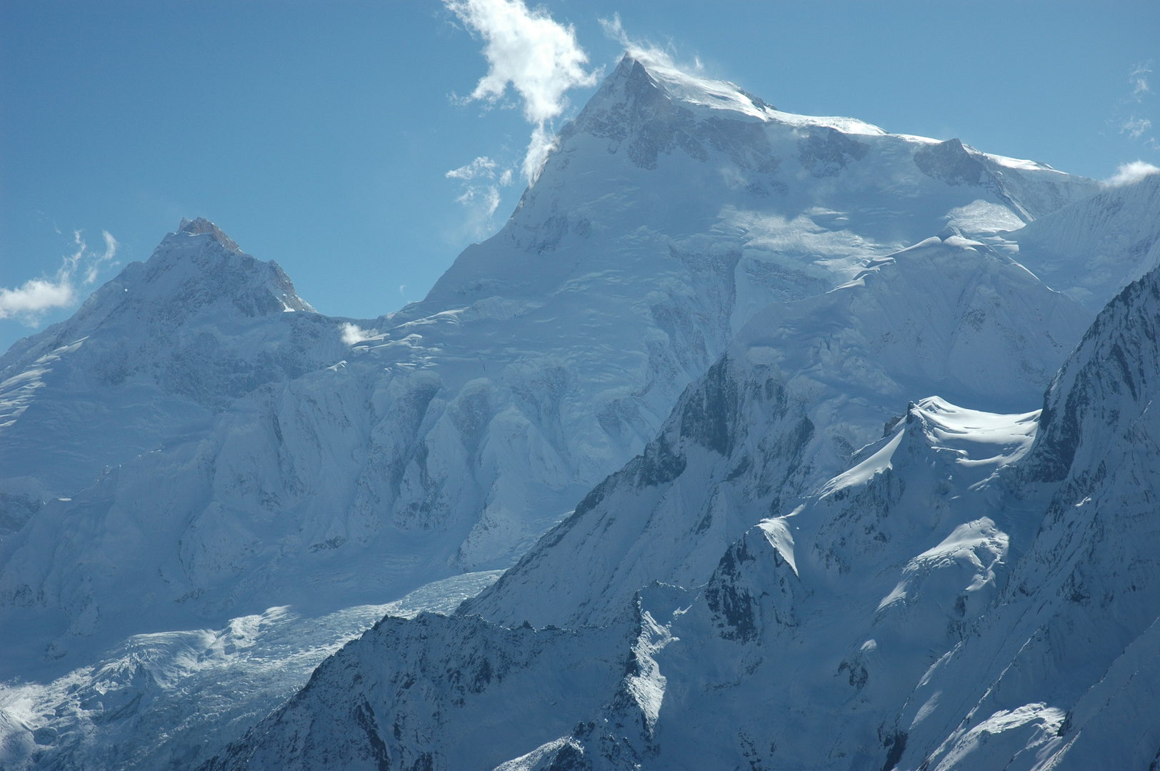 Samdo Ri :: Manaslu zoomed
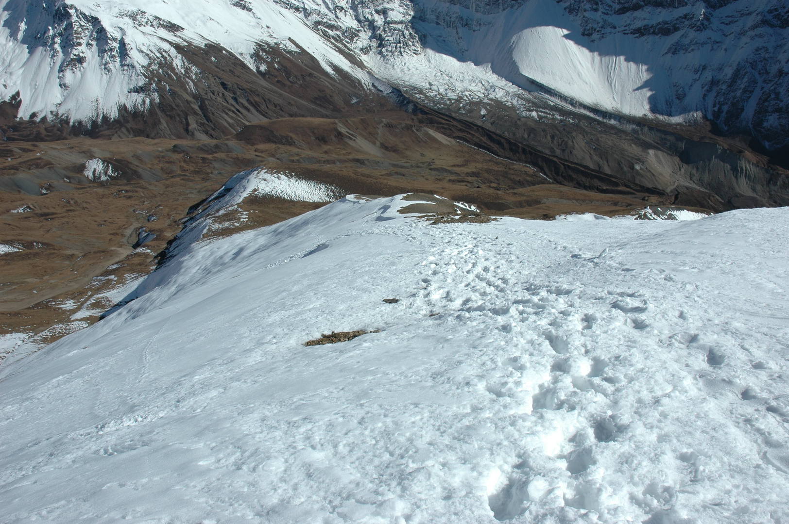 Samdo Ri descent :: going down, down
 Samdo Ri descent :: the old trade route via Lajyung La and Hayang La leading to Tibet
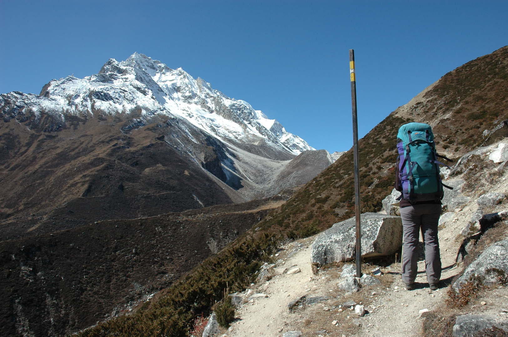 Larkya Phedi approach :: one of the first steel poles marking the route :: Larkya Peak behind
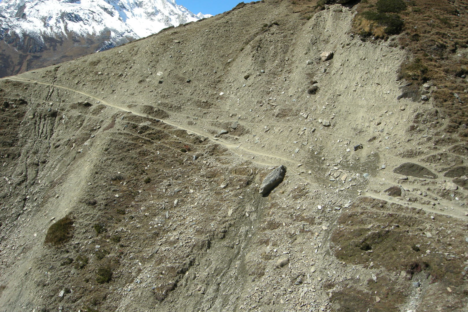 Larkya Phedi approach :: eroded slopes
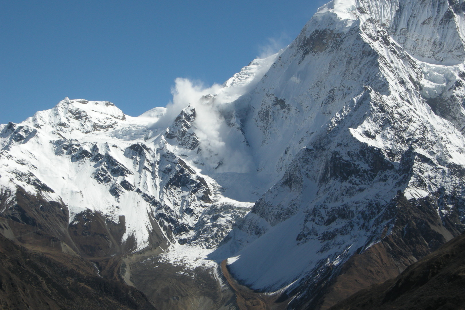 Larkya Phedi approach :: an avalanche on the Samdo Peak slopes
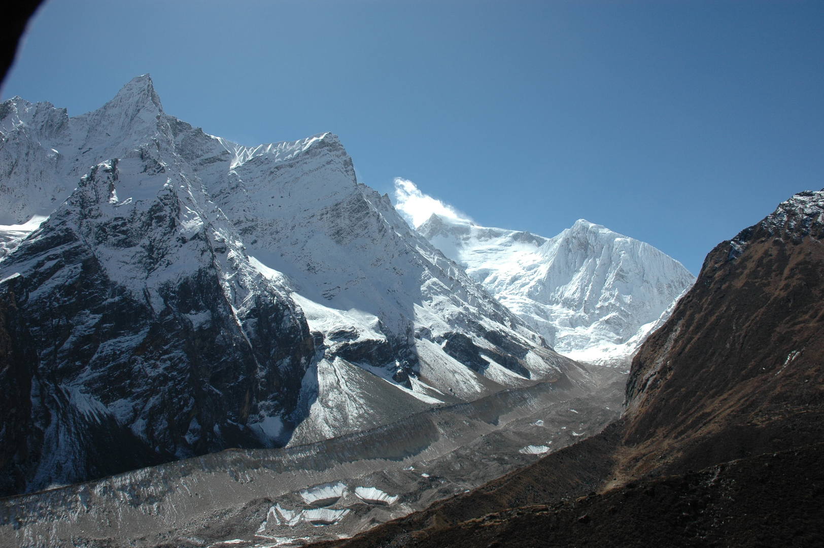 Larkya Phedi approach :: Syacha Glacier, Naike Peak ridges above, Manaslu North
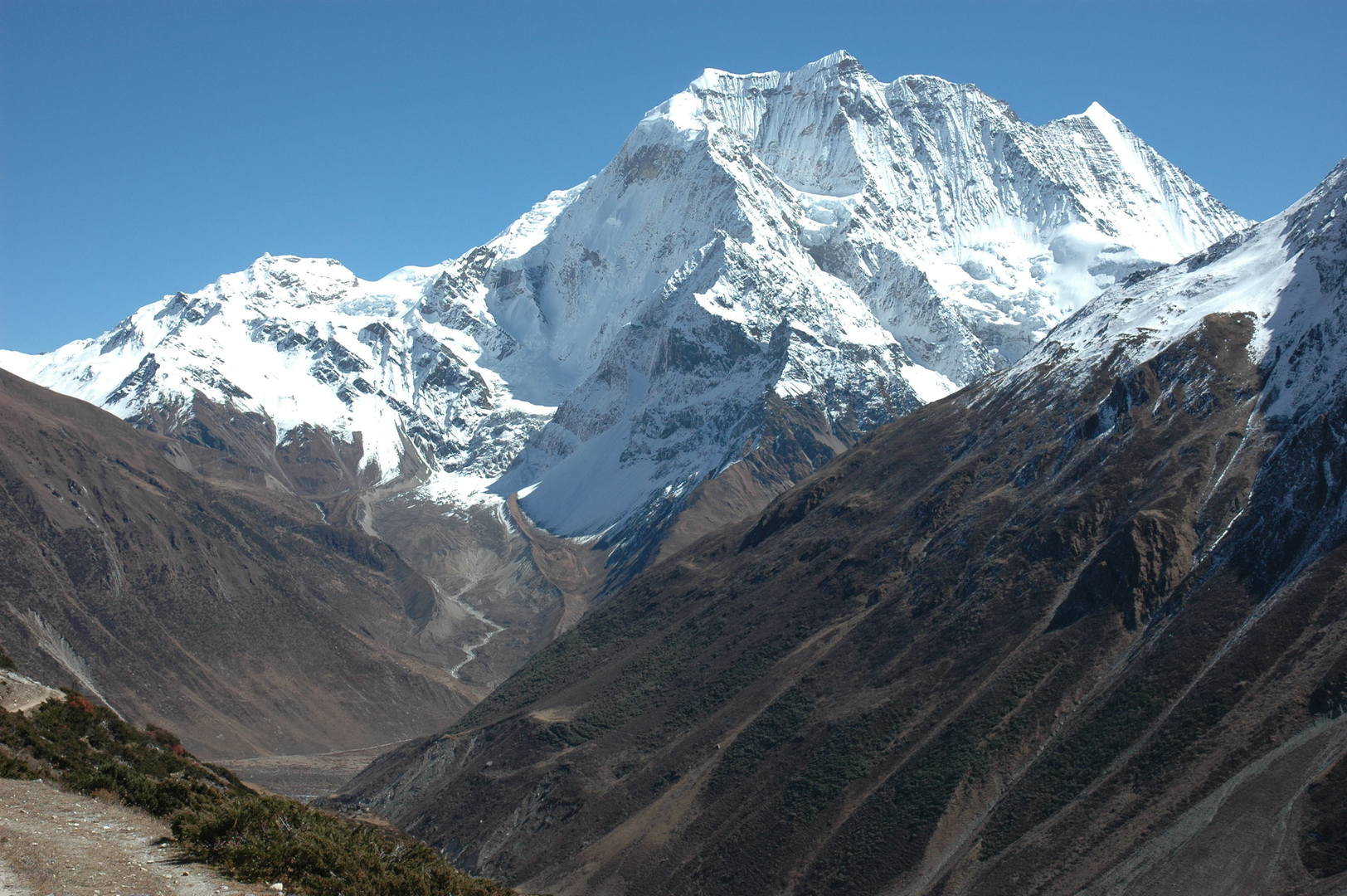 Larkya Phedi approach :: Samdo Peak
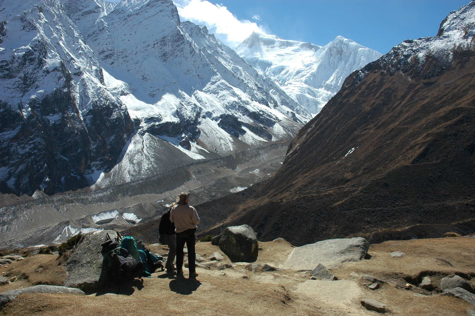 Larkya Phedi approach :: Syacha Glacier, Manaslu North
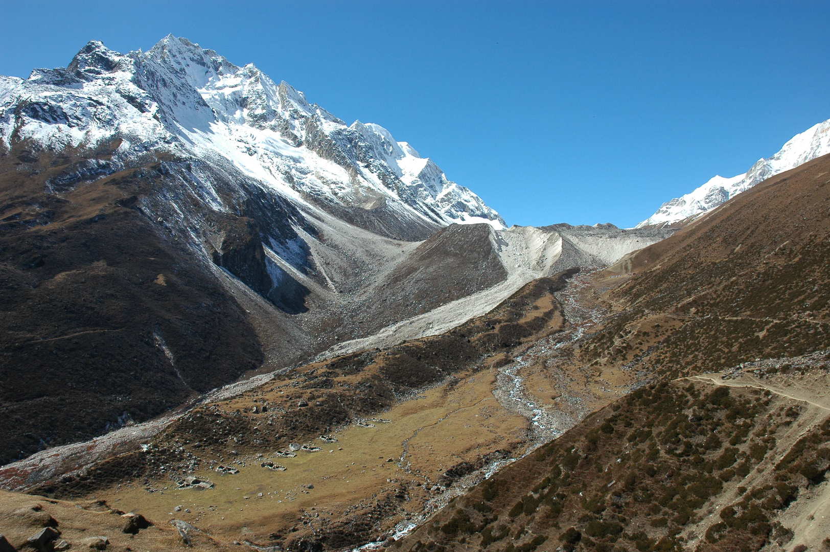 Larkya Phedi approach :: the campsite in sight, just below the glacier front morraine
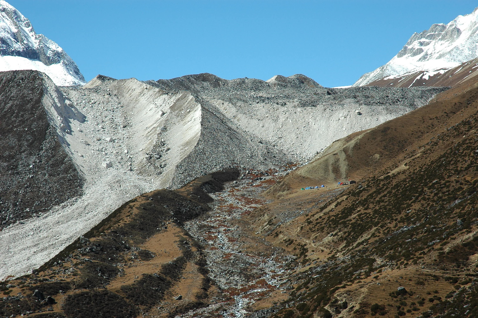 Larkya Phedi approach :: the campsite in sight, zoomed
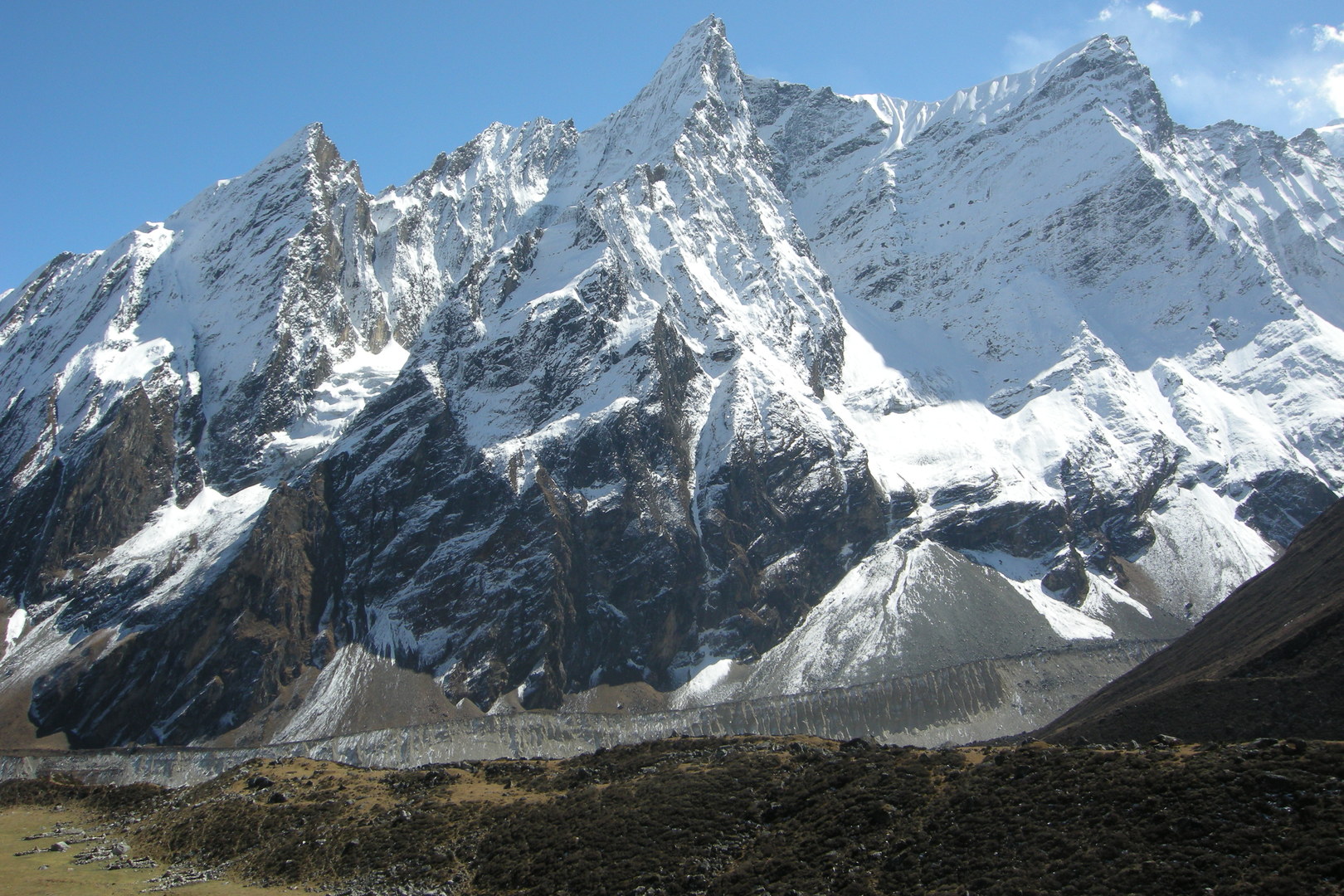 Larkya Phedi :: the campsite surroundings :: Naike Peak ridges over the Syacha Glacier morraines
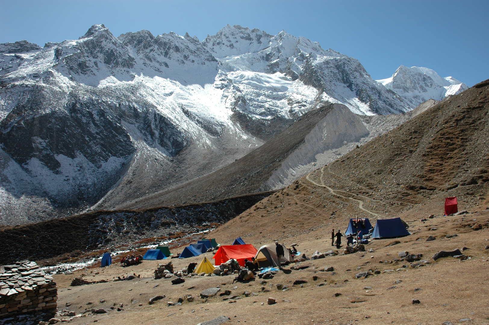 Larkya Phedi :: the campsite
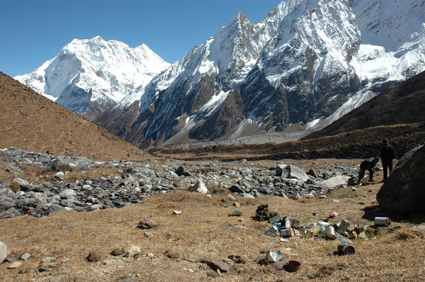 Larkya Phedi :: the industrial trekking pollution
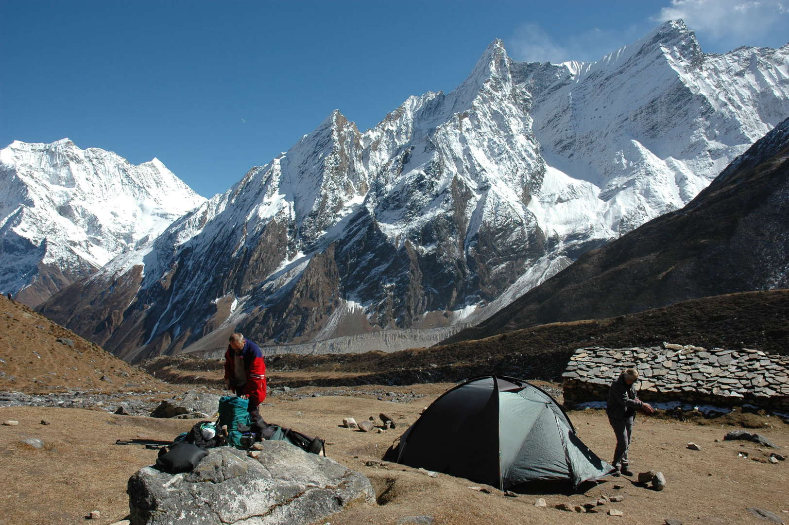 Larkya Phedi :: the campsite in the sun, Samdo Peak, Naike ridges
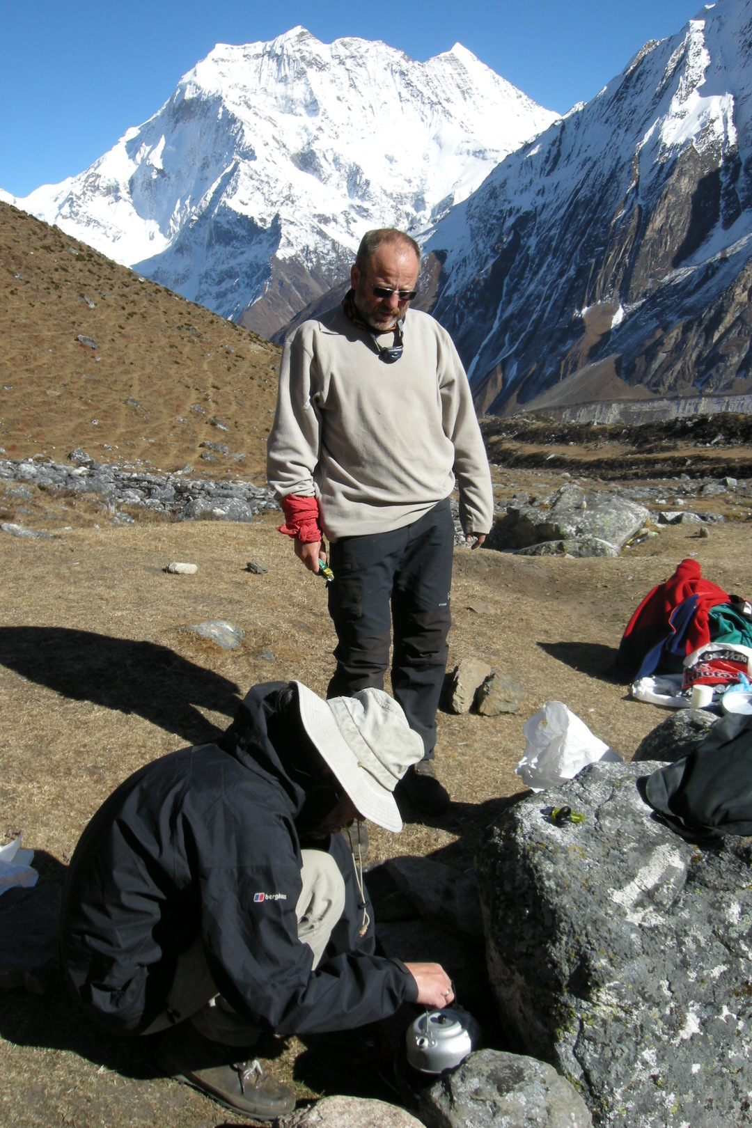 Larkya Phedi :: cooking
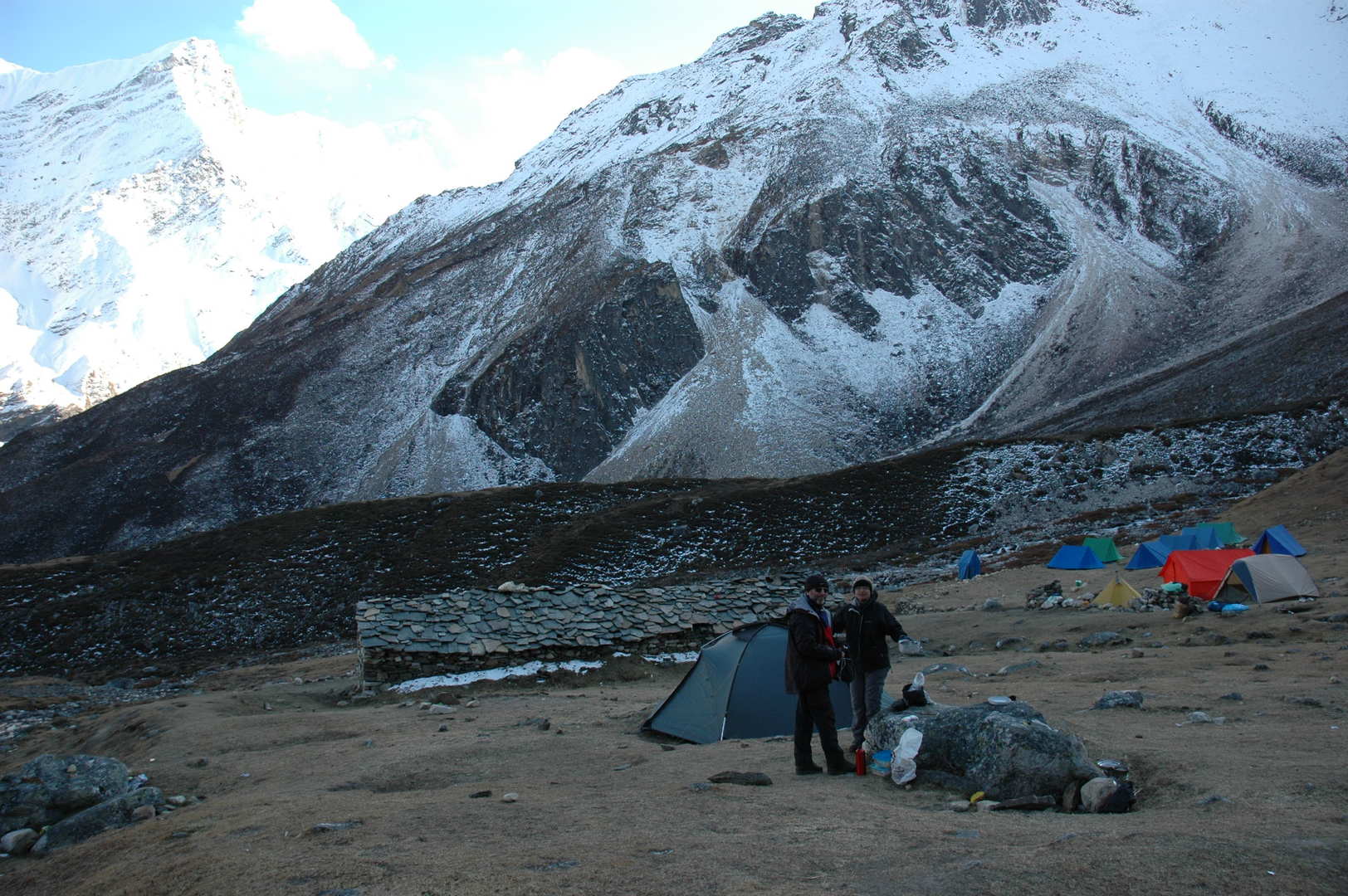 Larkya Phedi :: the campsite in the shadow
 Larkya Phedi :: Naike, still in the sun
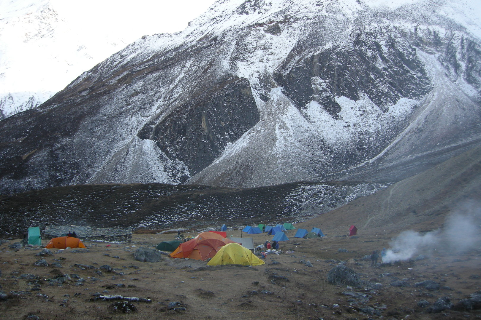 Larkya Phedi :: the slowly freezing camp
 Larkya La approach :: the first green lake
 Larkya La approach :: Peak 6146 to the south
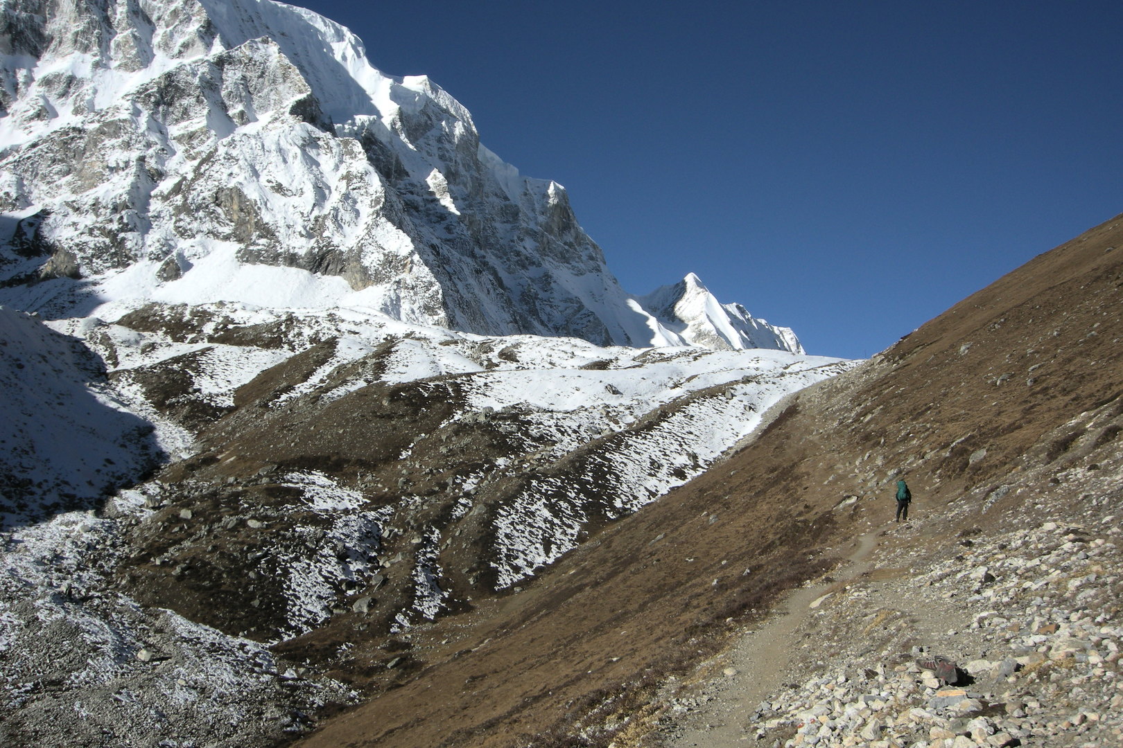 Larkya La approach :: leaving the lake towards the glacier
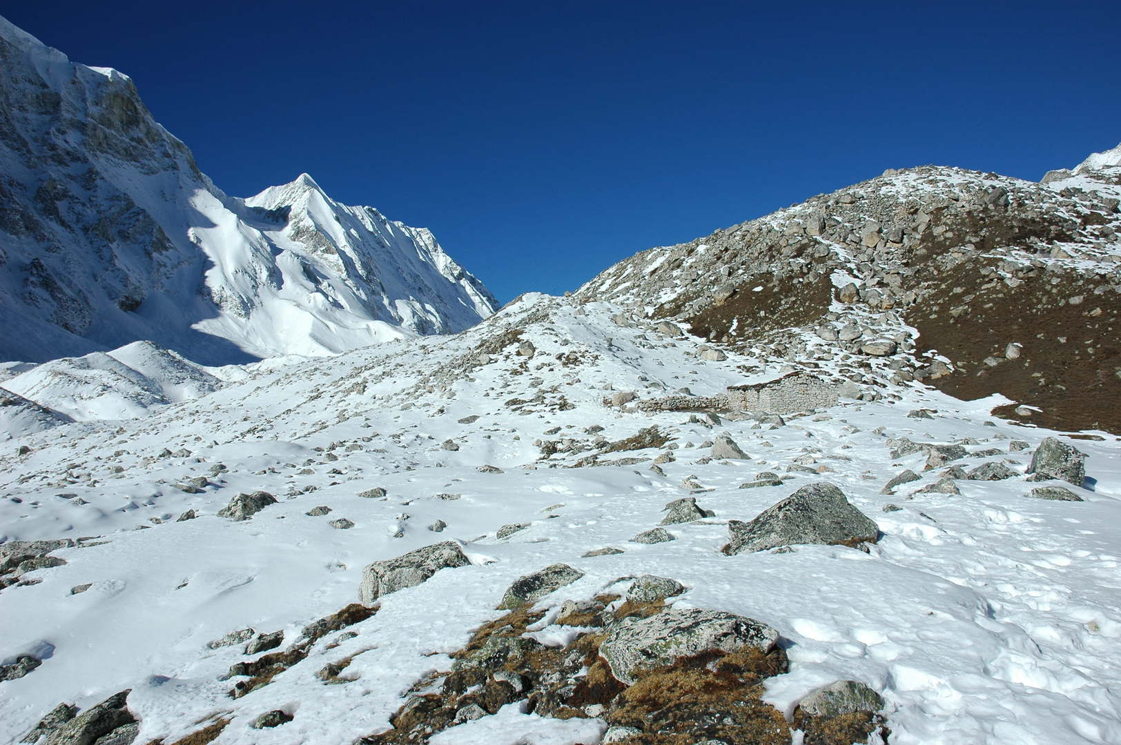 Larkya La approach :: a (new?) shelter by 4900m
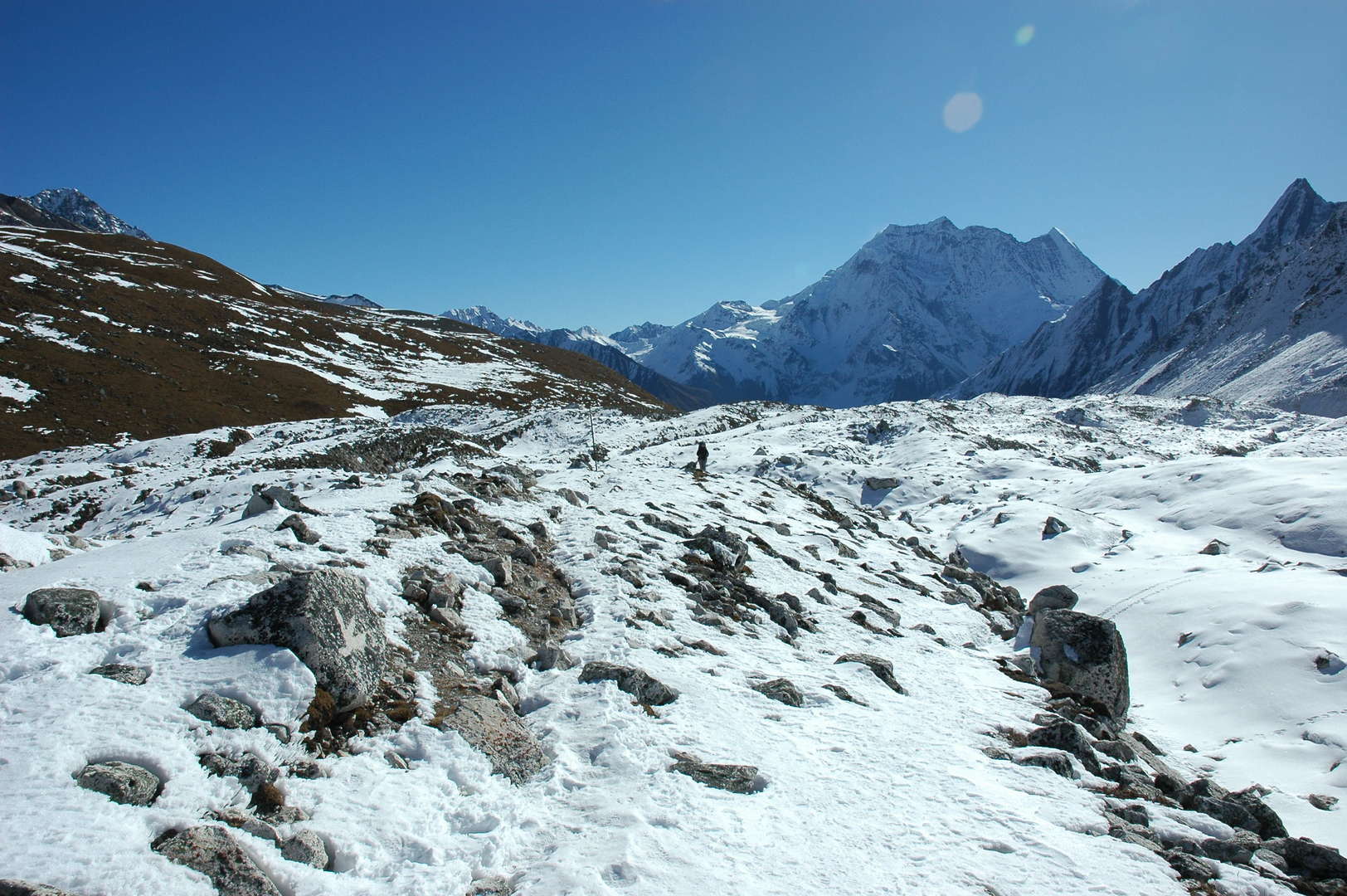 Larkya La approach :: following the northern Larkya glacier morraines
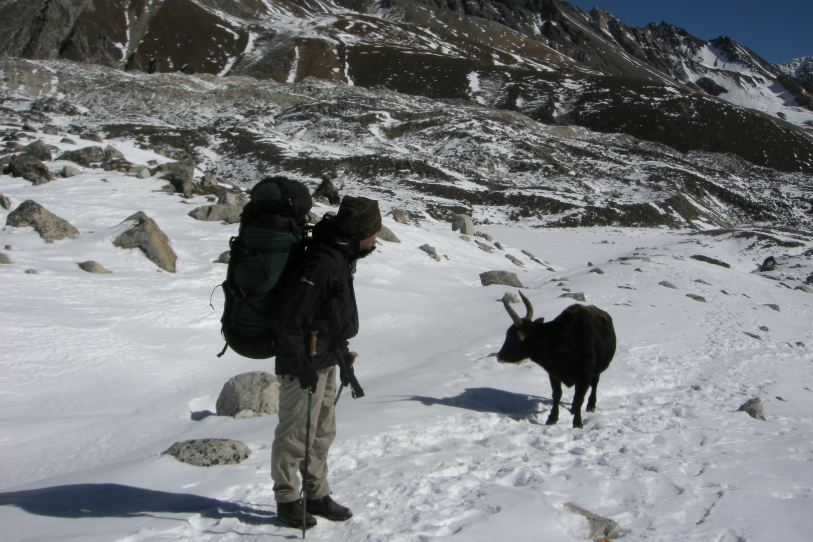 Larkya La approach :: what do -you- want here?
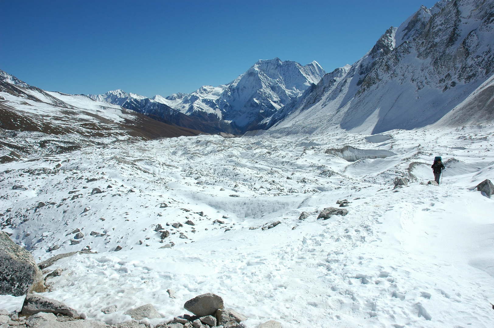 Larkya La approach :: following the northern Larkya glacier morraines
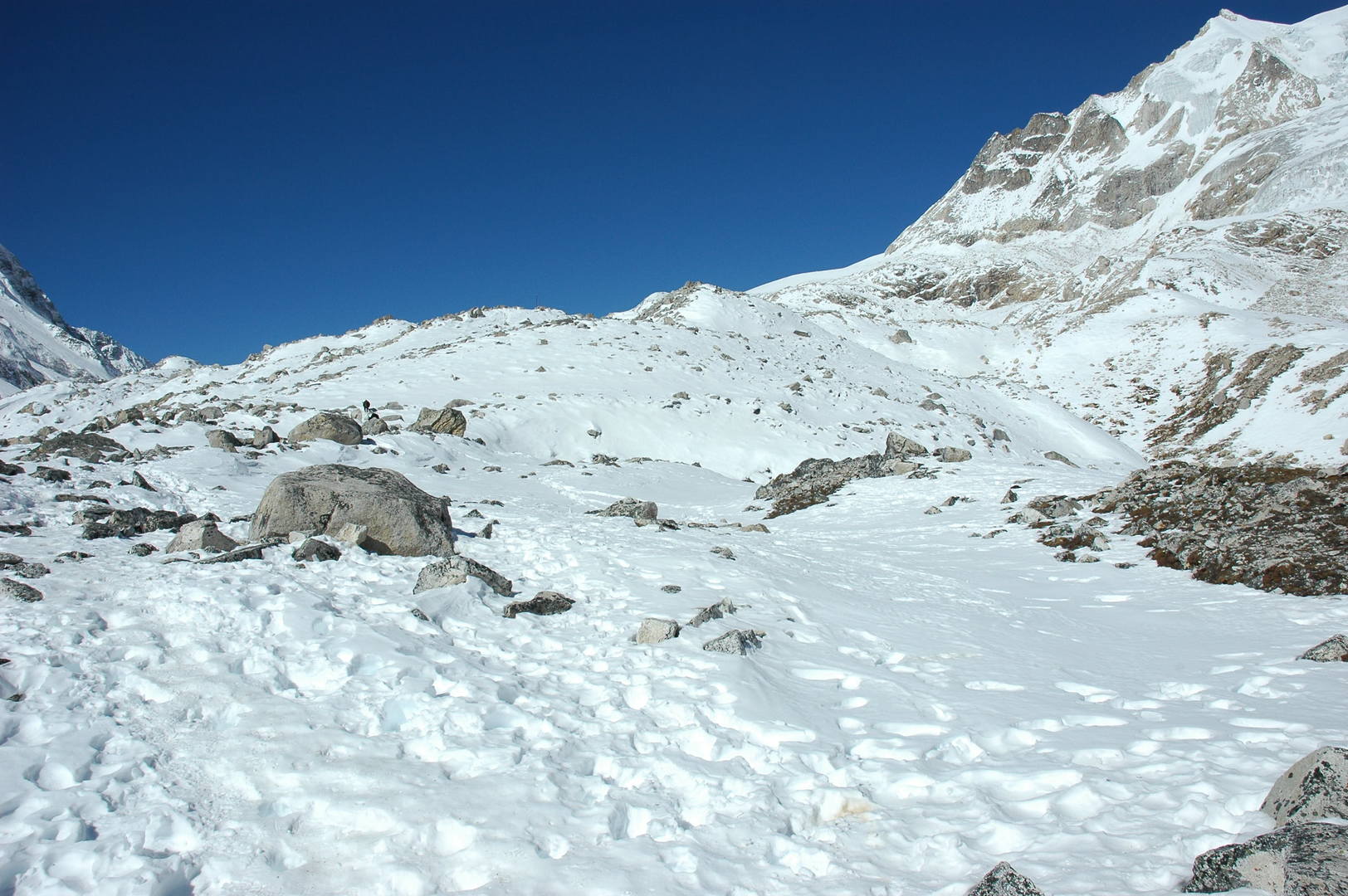 Larkya La approach :: where is the pass?
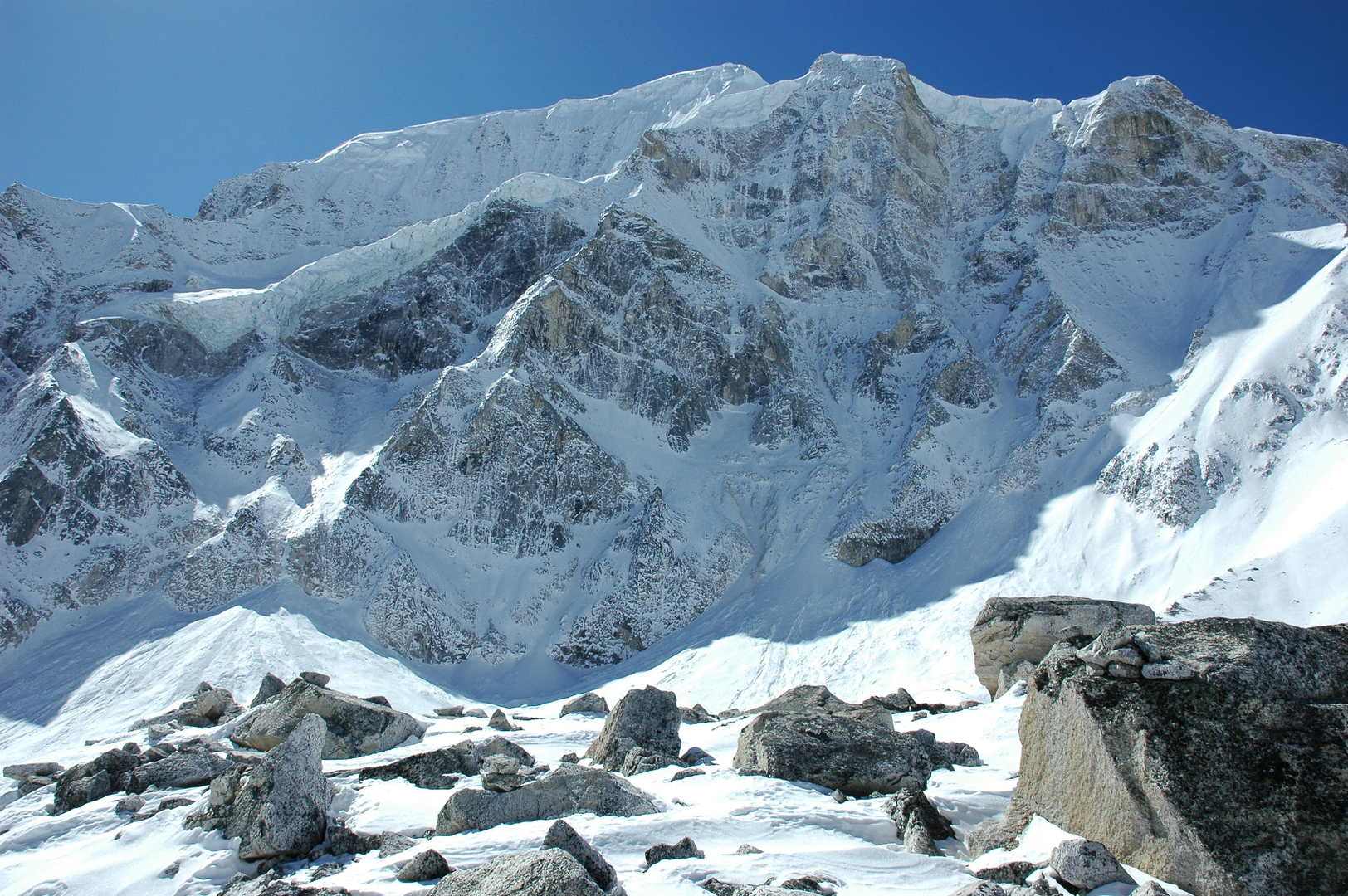 Larkya La approach :: on the side morraine, Larkya Peak slopes
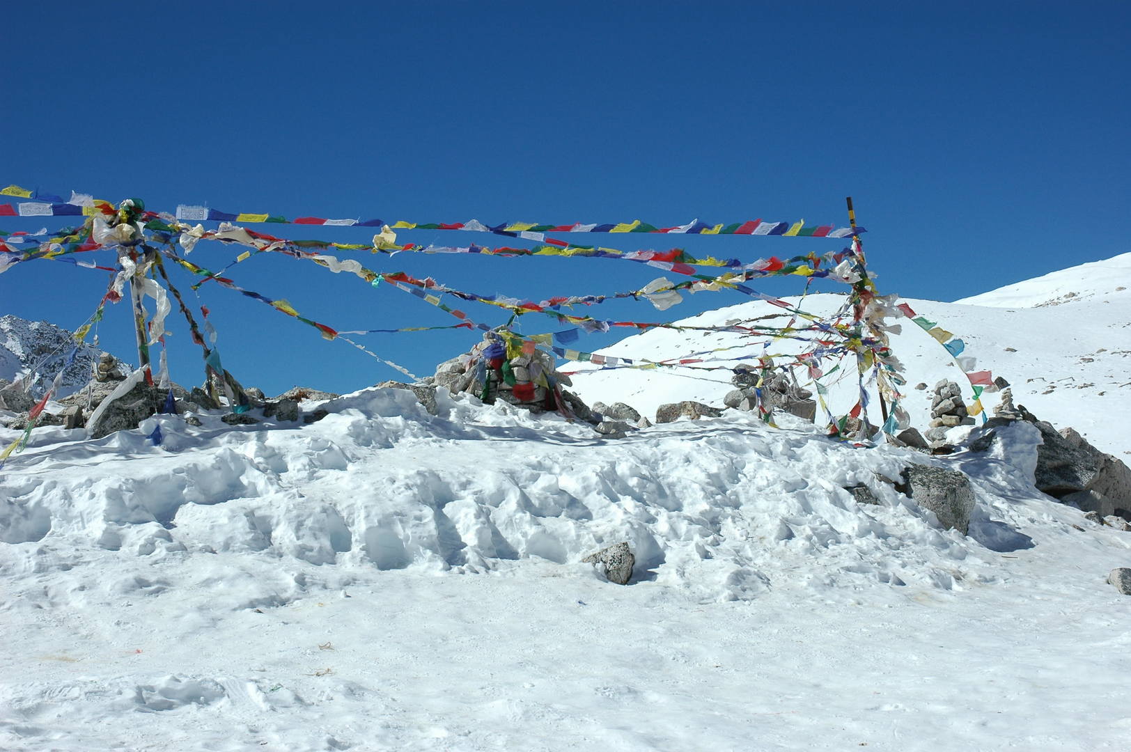 Larkya La :: lung-ta, the prayer flags on the highest place
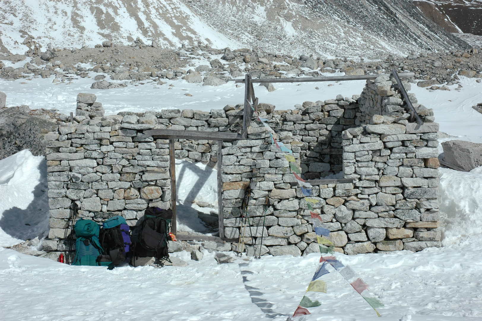 Larkya La :: the destroyed shelter
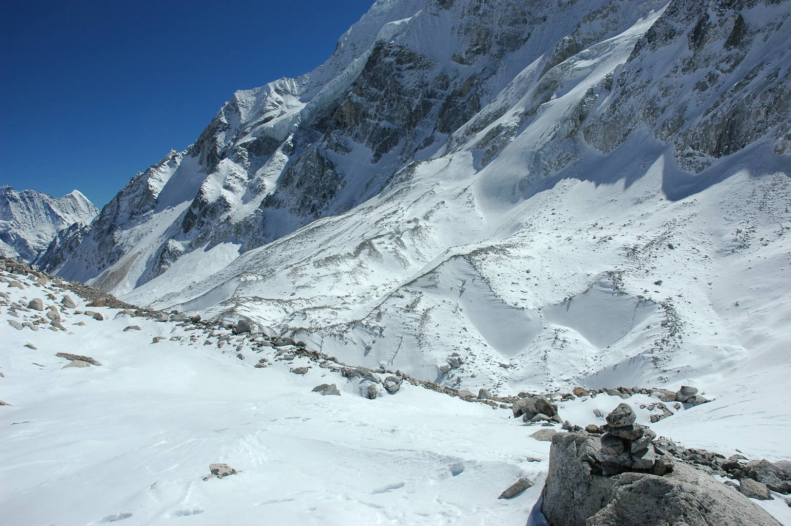 Larkya La :: looking to the glaciated pass below
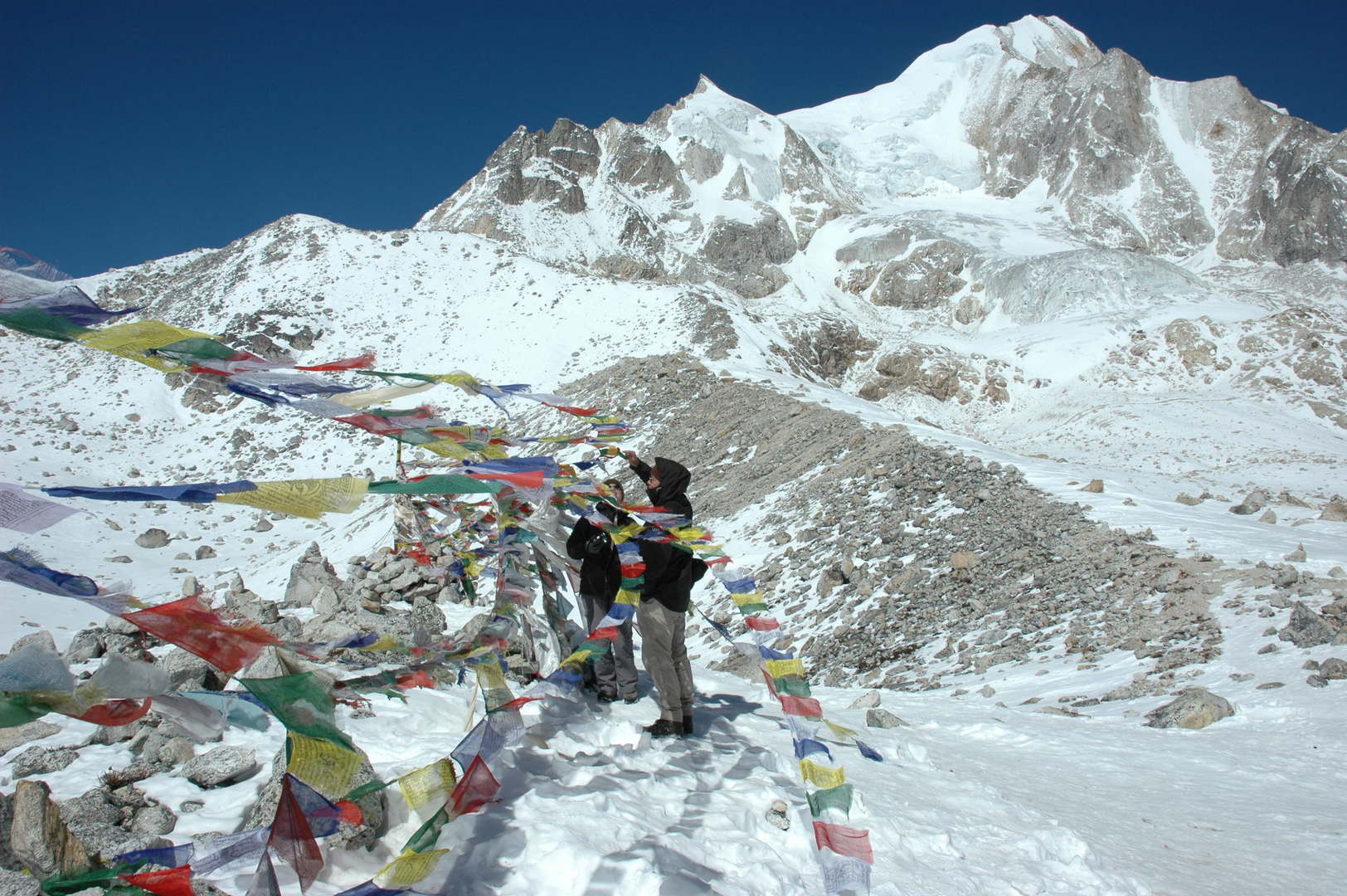 Larkya La :: adding our flags...
 Larkya La :: adding our flags...
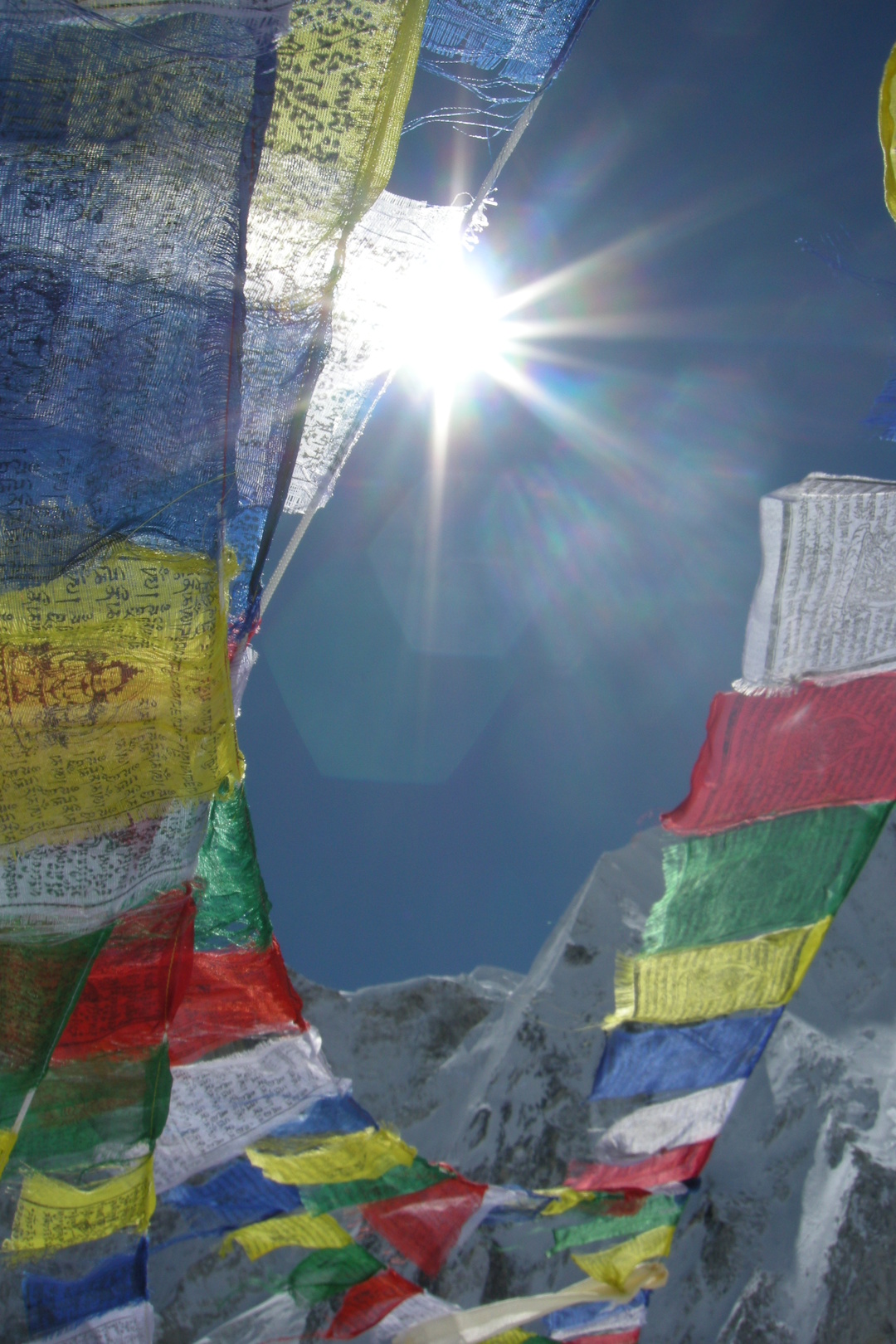 Larkya La :: lung-ta
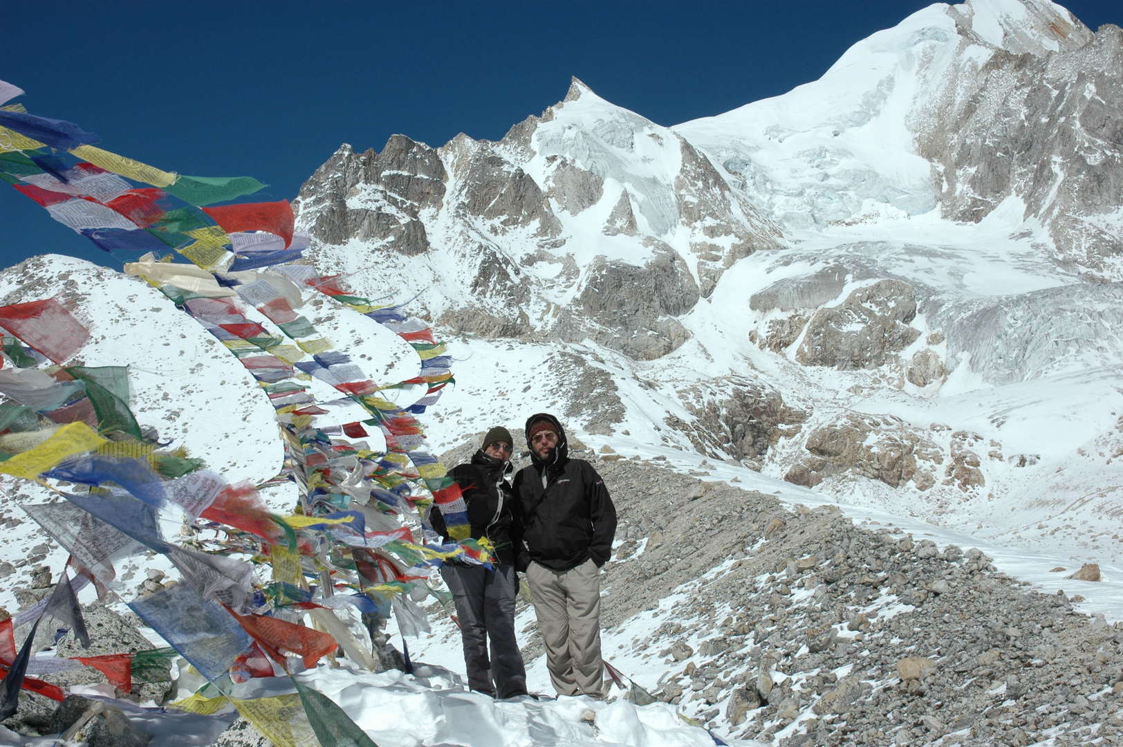 Larkya La :: the obligatory top photo
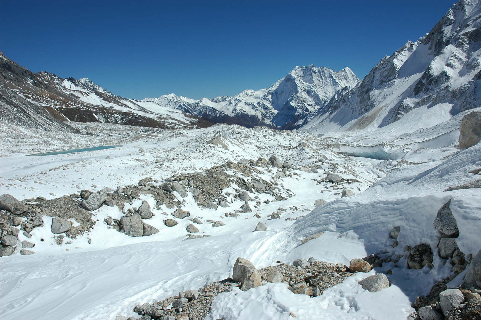 Larkya La :: looking east :: the frozen lakes in the retreat area, morraines, Larkya Glacier, Samdo Peak...
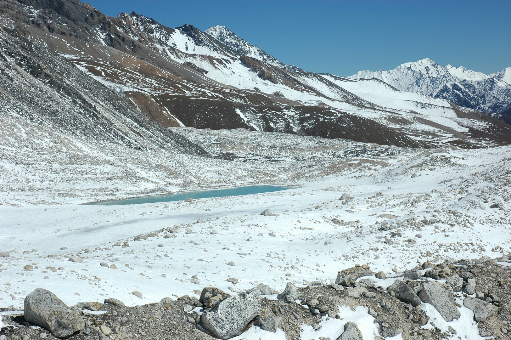 Larkya La :: the lakes in the glacier retreat area
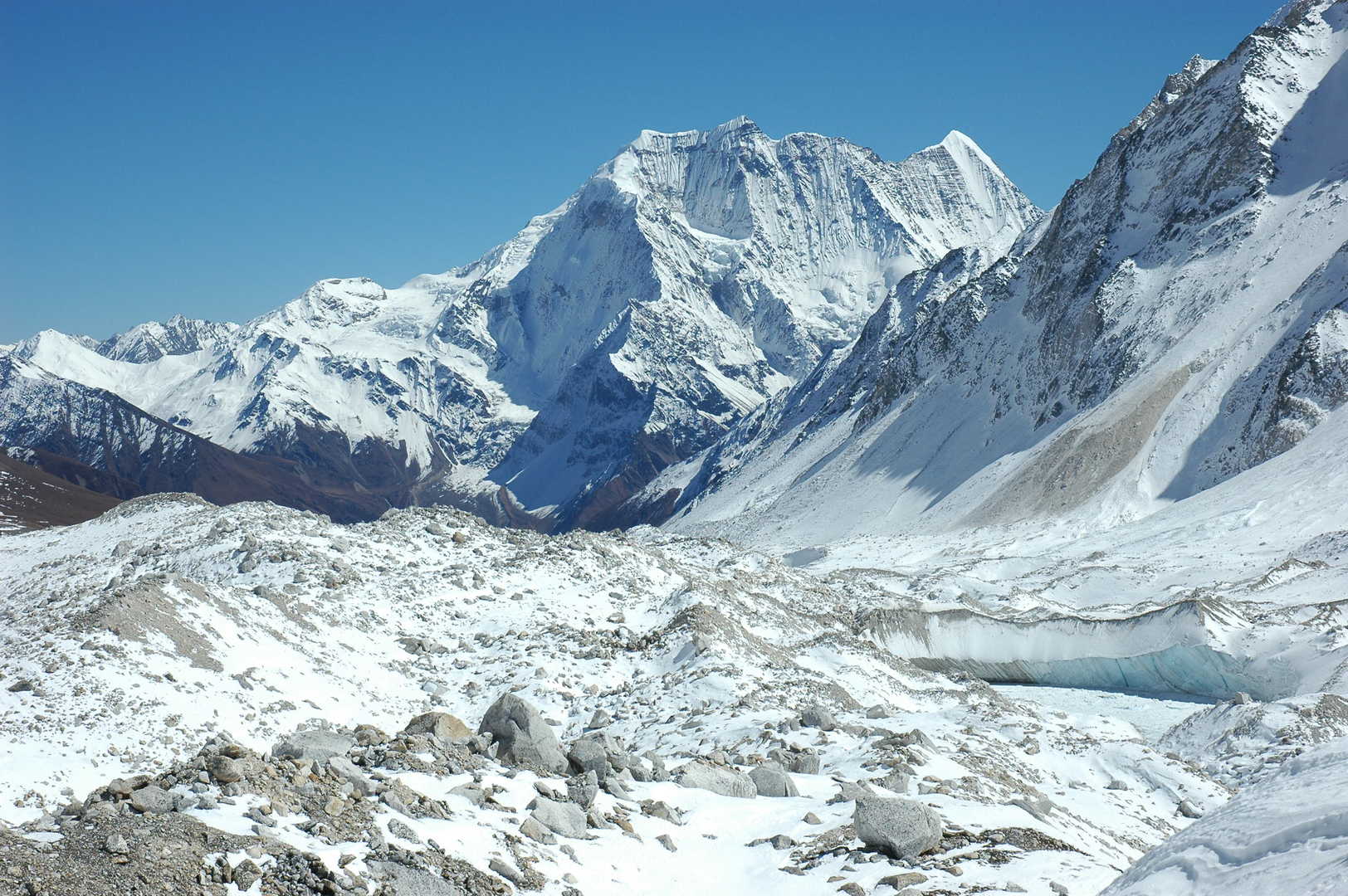 Larkya La :: the Larkya Glacier
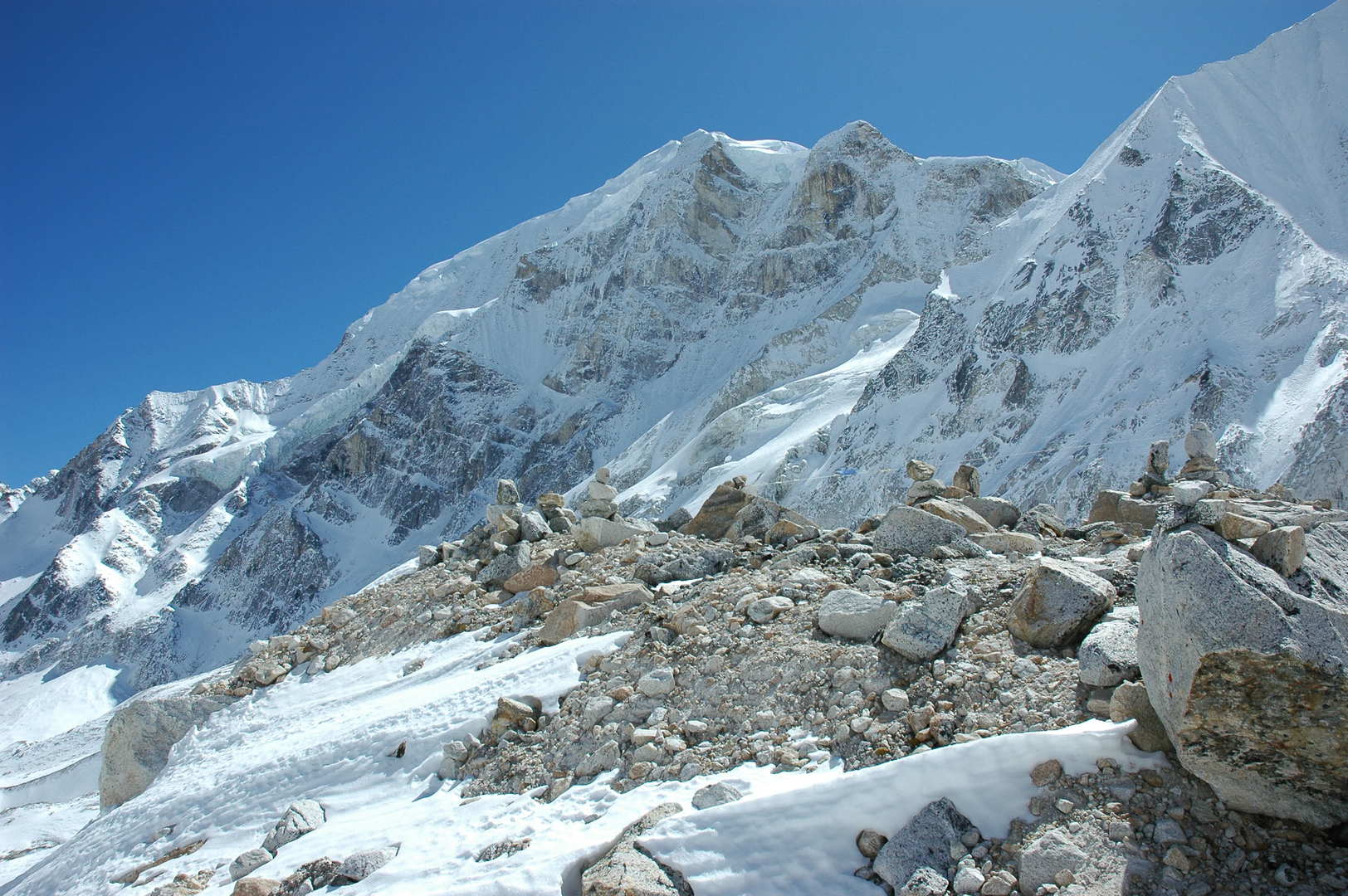 Larkya La :: Larkya Peak slopes
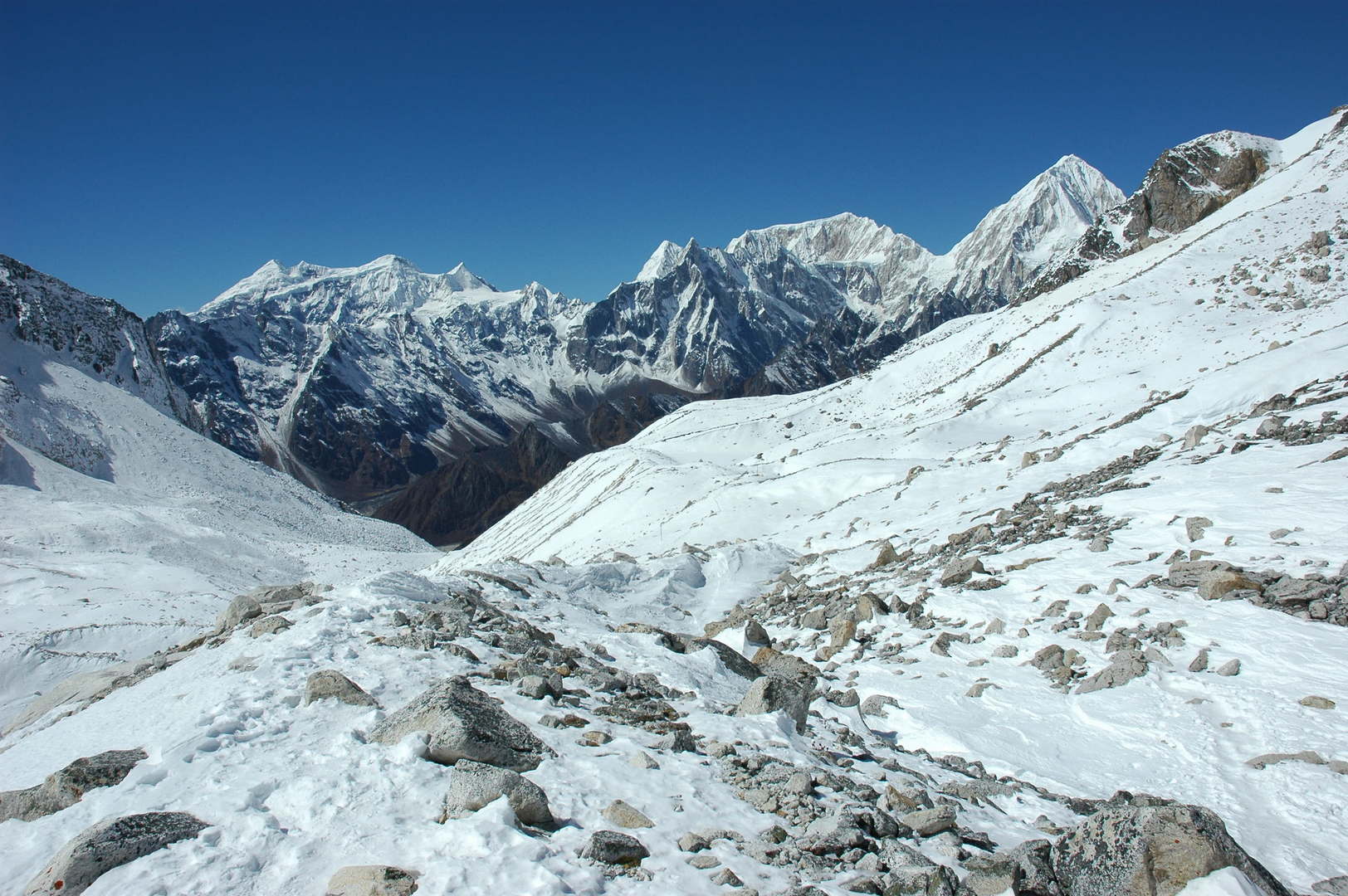 Larkya La :: looking west :: Kang Guru Himal, Tilje, Gyaji Kang, Nemjung
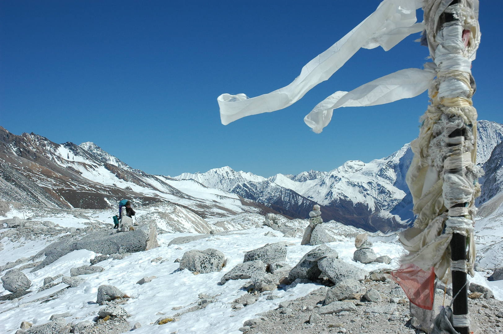 Descend from Larkya La :: descending along a morraine, an iron pole with katas
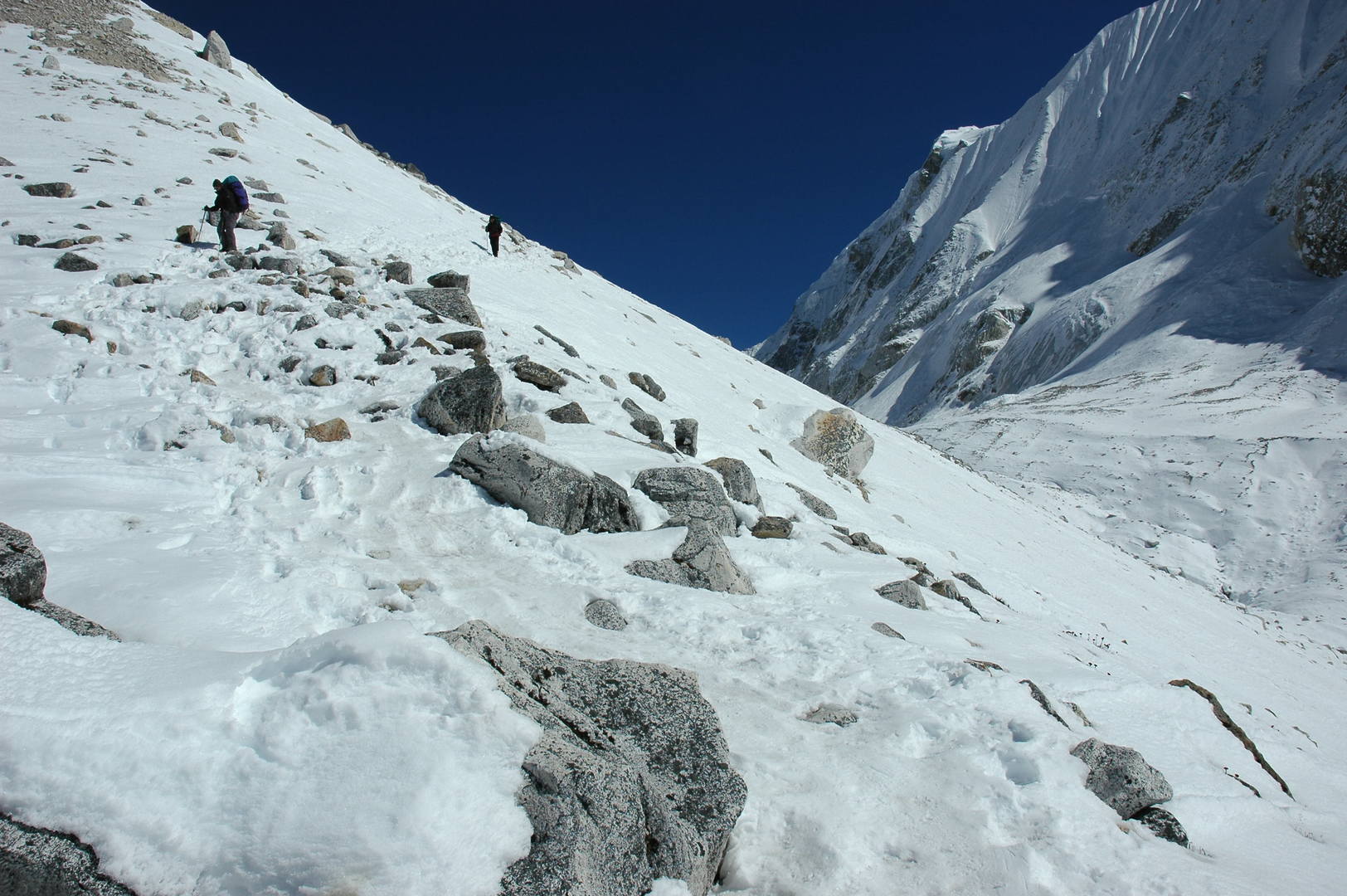 Descend from Larkya La :: the slippery descent traversing steep snowed scree slopes
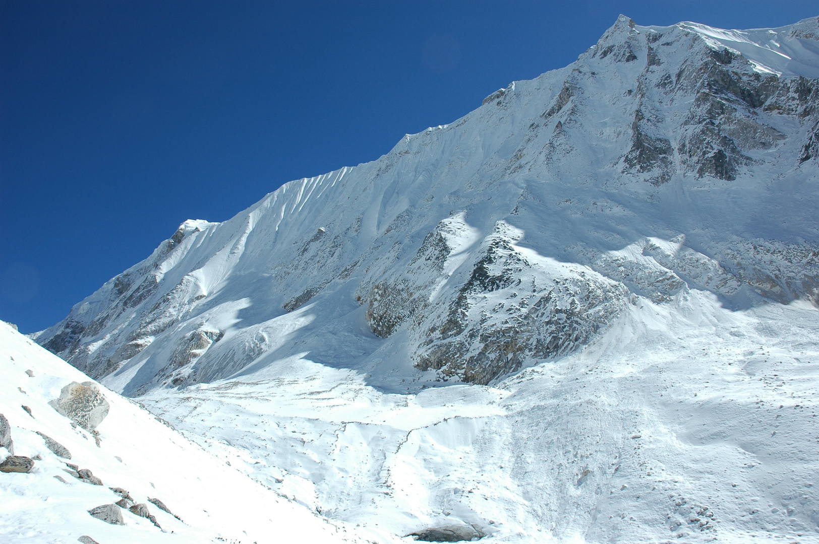 Descend from Larkya La :: Larkya Peak slopes
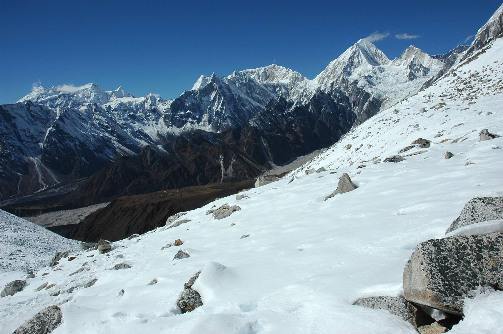 Descend from Larkya La :: Kang Guru Himal, Tilje, Gyaji Kang, Nemjung, Himlung Himal
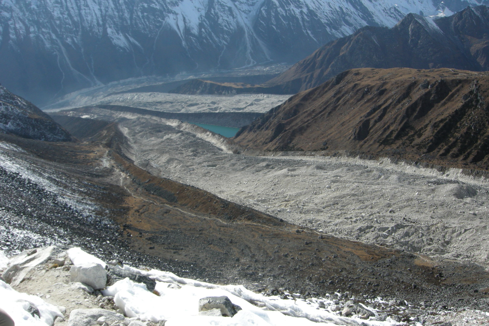 Descend from Larkya La :: three glaciers junction to form Bimtang Glacier - Kechhakyu, Ponkar and Sapudada
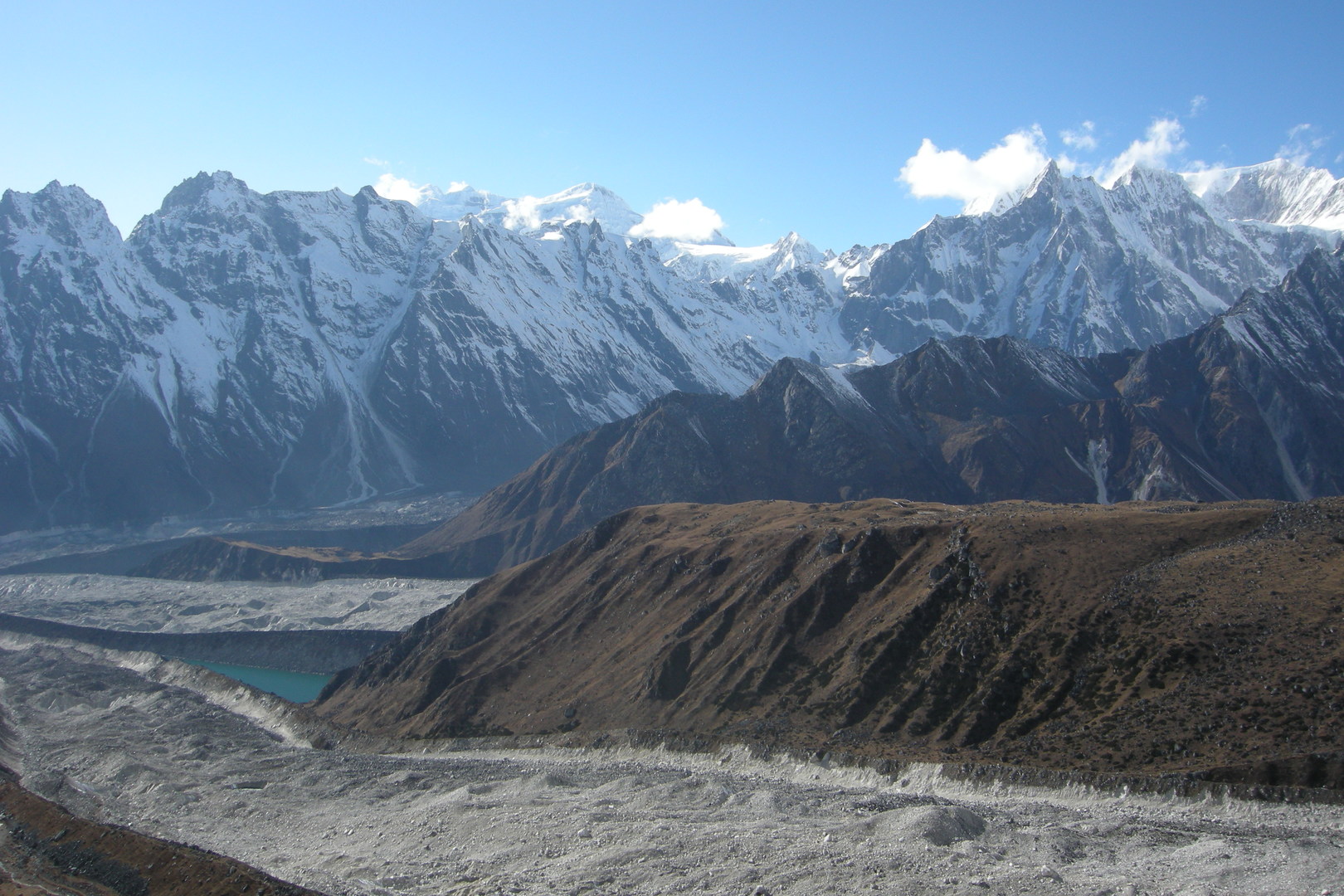 Descend from Larkya La :: Kang Guru Himal behind the Tibikle Panlemu ridges :: the green is Ponkar Tal
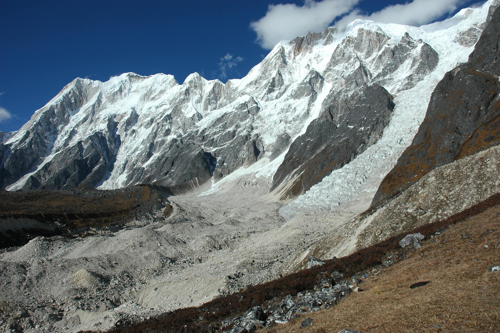 Descend from Larkya La :: Cheo Himal over the upper Salpudada Glacier
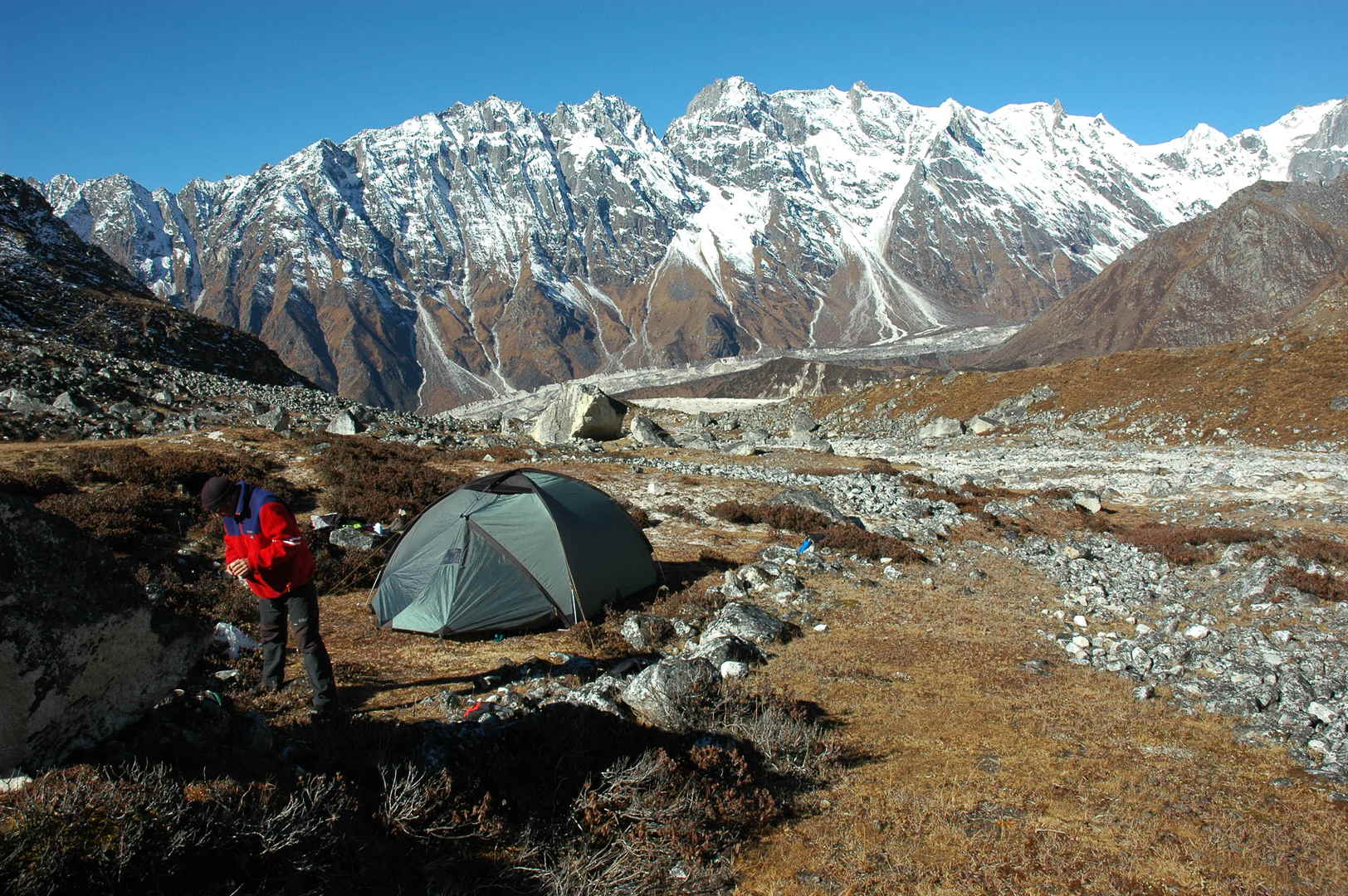 Pheriche :: the camp
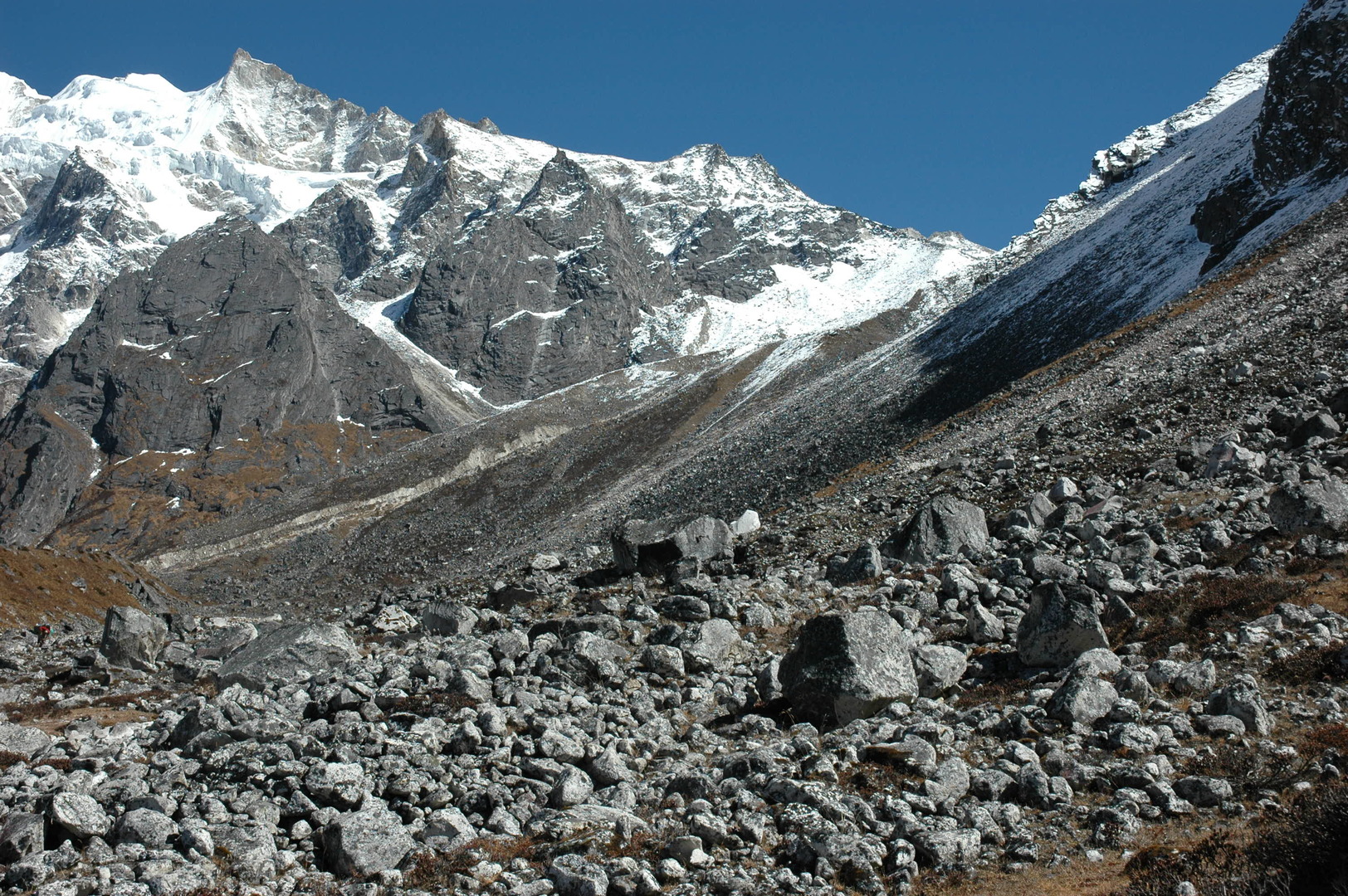 Pheriche :: the western Larkya La approach
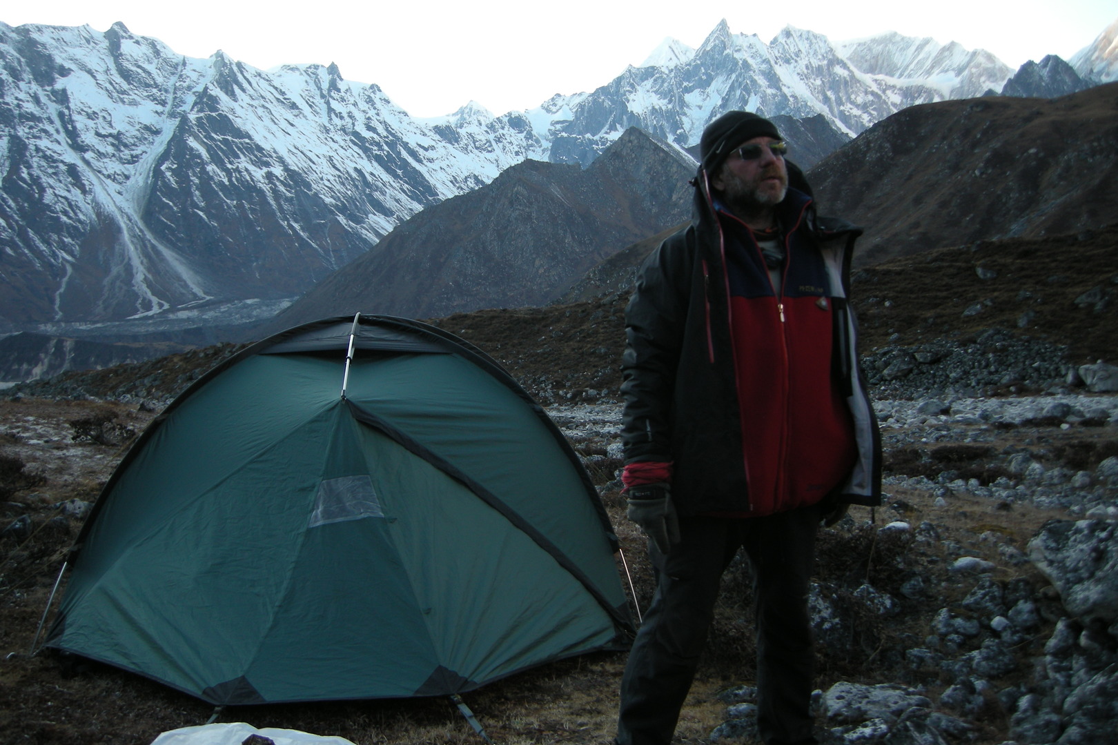 Pheriche :: freezing :: it is time for sleep
 Pheriche :: visitors in the camp
 Thonbuche Kharka :: descending towards Bimtang meadows, reached the tree line
 Thonbuche Kharka :: Manaslu, Phungge Himal (above) and Bimtang (below) in sight
 Thonbuche Kharka :: Manaslu with the usual cloud, zoomed
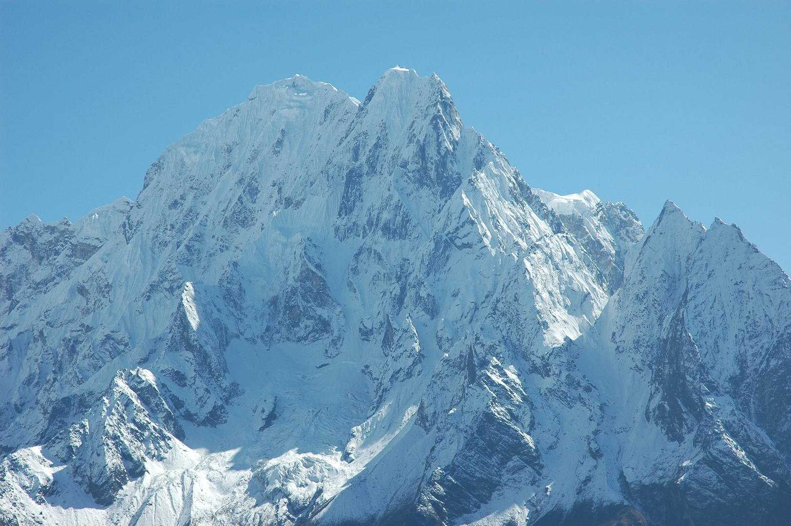 Thonbuche Kharka :: Phungge Himal, zoomed
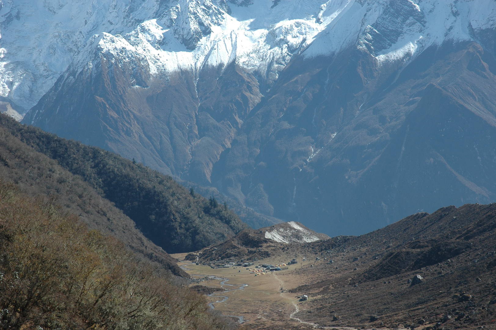 Thonbuche Kharka :: Bimtang meadows
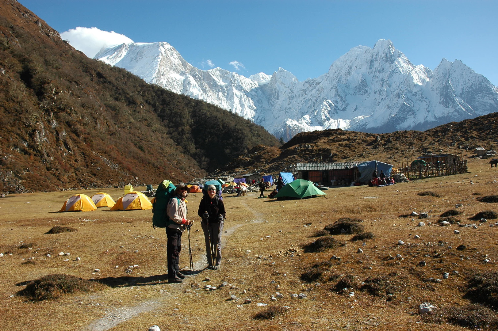 Bimtang :: so many tents...
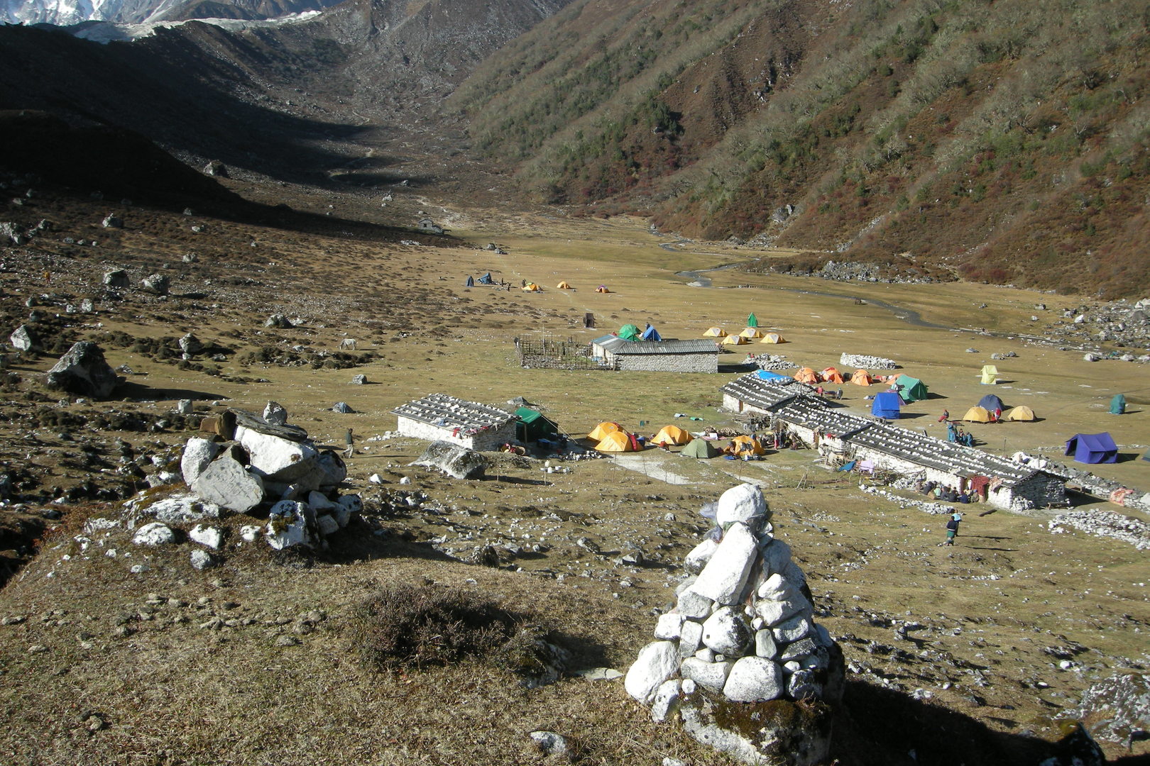 Bimtang Glacier morraine :: industrial trekking tents and makeshift lodges
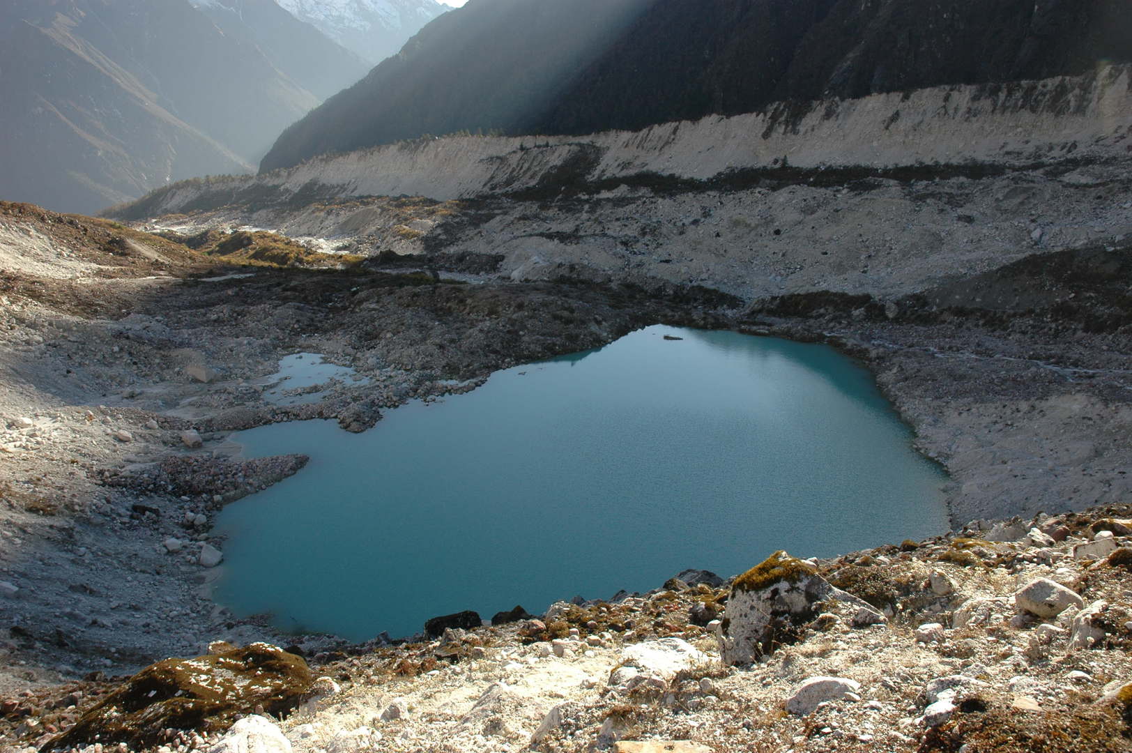 Bimtang Glacier :: just another green lake
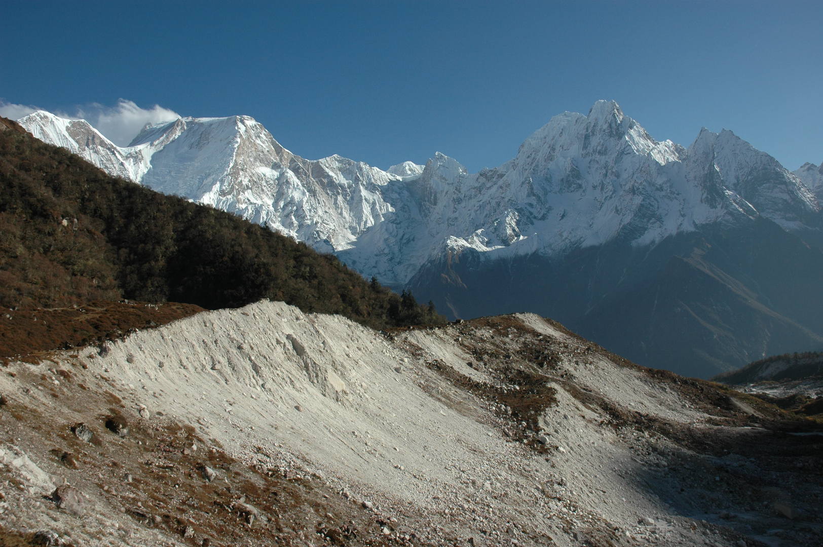 Bimtang Glacier :: Manaslu, Phungge Himal
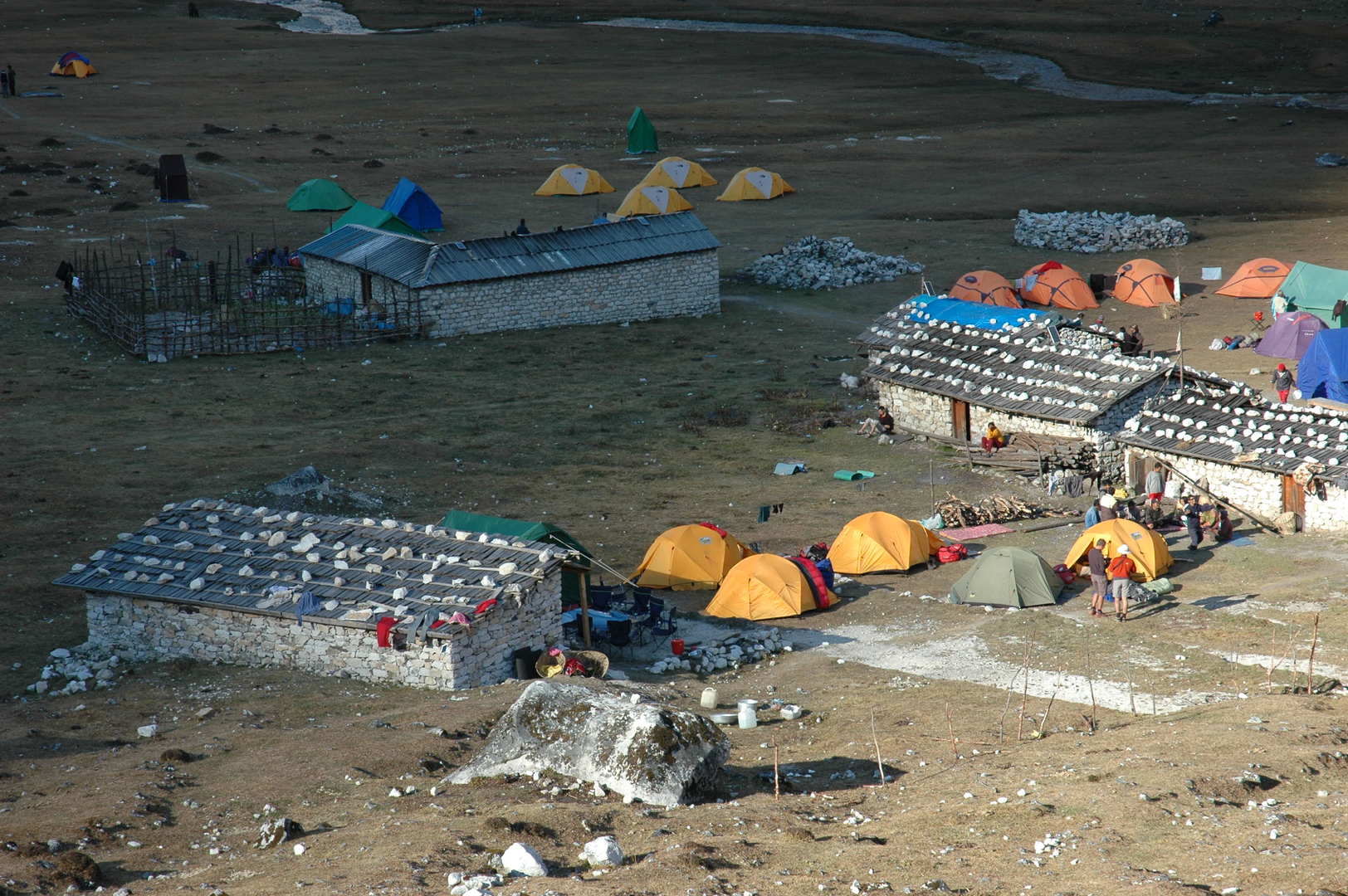 Bimtang :: sun sets behind the ridges, shadows reach the seasonal village
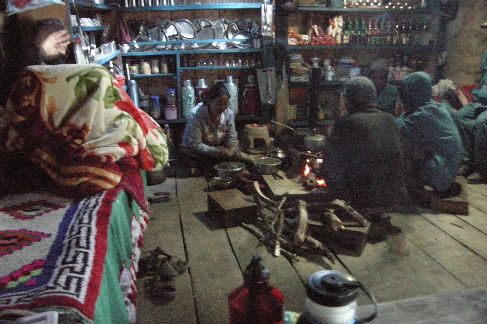 Bimtang :: in a lodge kitchen
 Bimtang :: the last sun rays on Manaslu
 Bimtang :: ready to leave the village - but where is the sun?
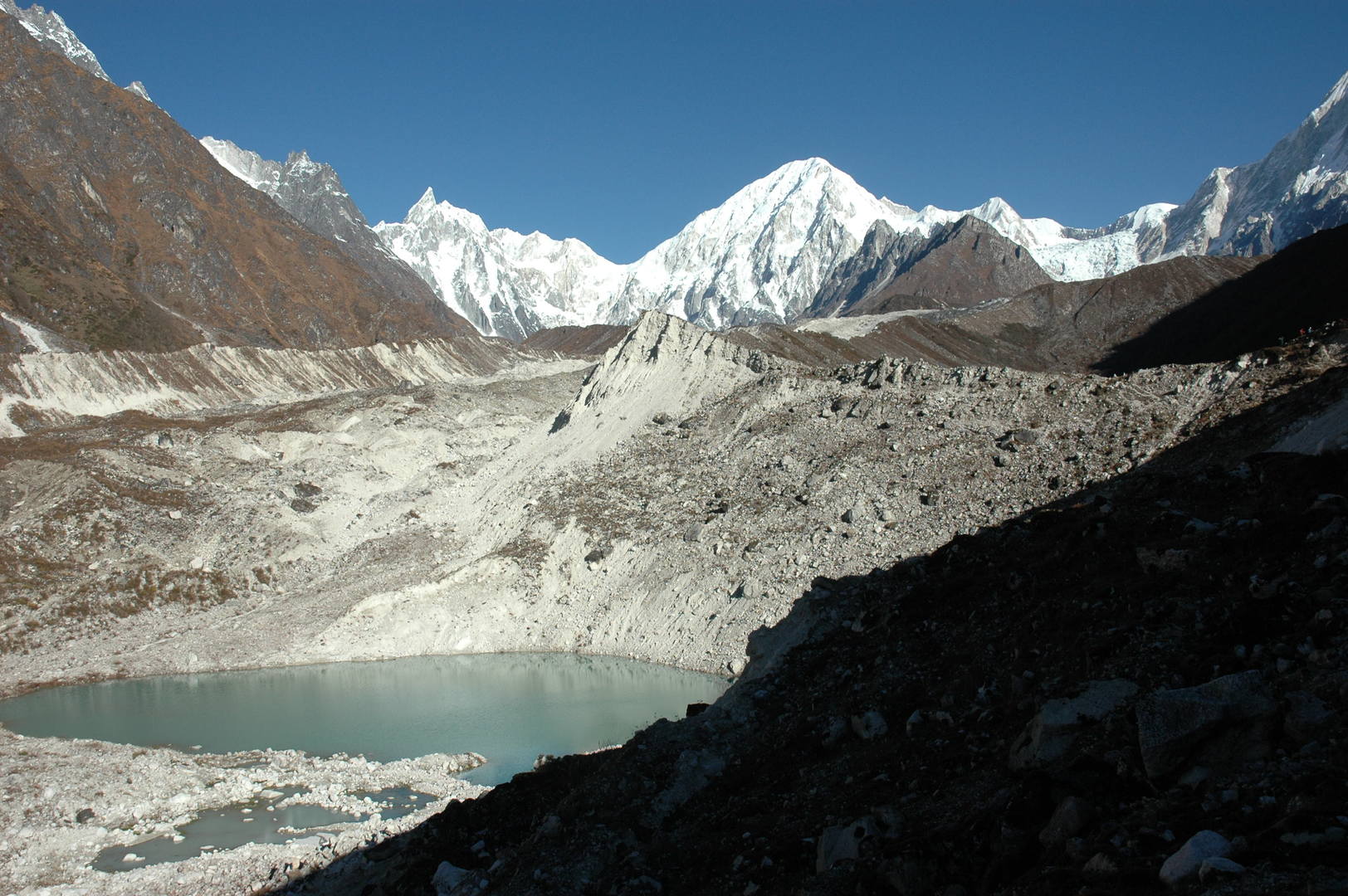 Bimtang Glacier :: the lake below Bimtang, Tilje Peak and Nemjung behind
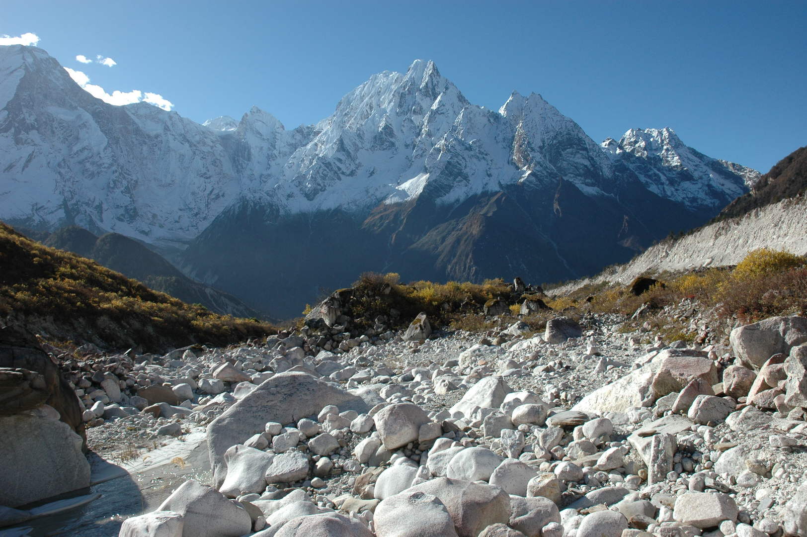 Bimtang Glacier :: the view south towards Phungge Himal
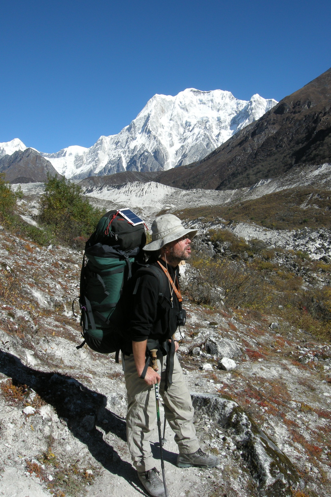 Bimtang Glacier :: climbing the right morraine
 Bimtang Glacier :: at the high side morraine :: the real woods begin here
 Bimtang Glacier :: the Dudh Khola outflow with the (damaged) bridge
 Bimtang Glacier :: at the high side morraine :: Manaslu, Phungge Himal
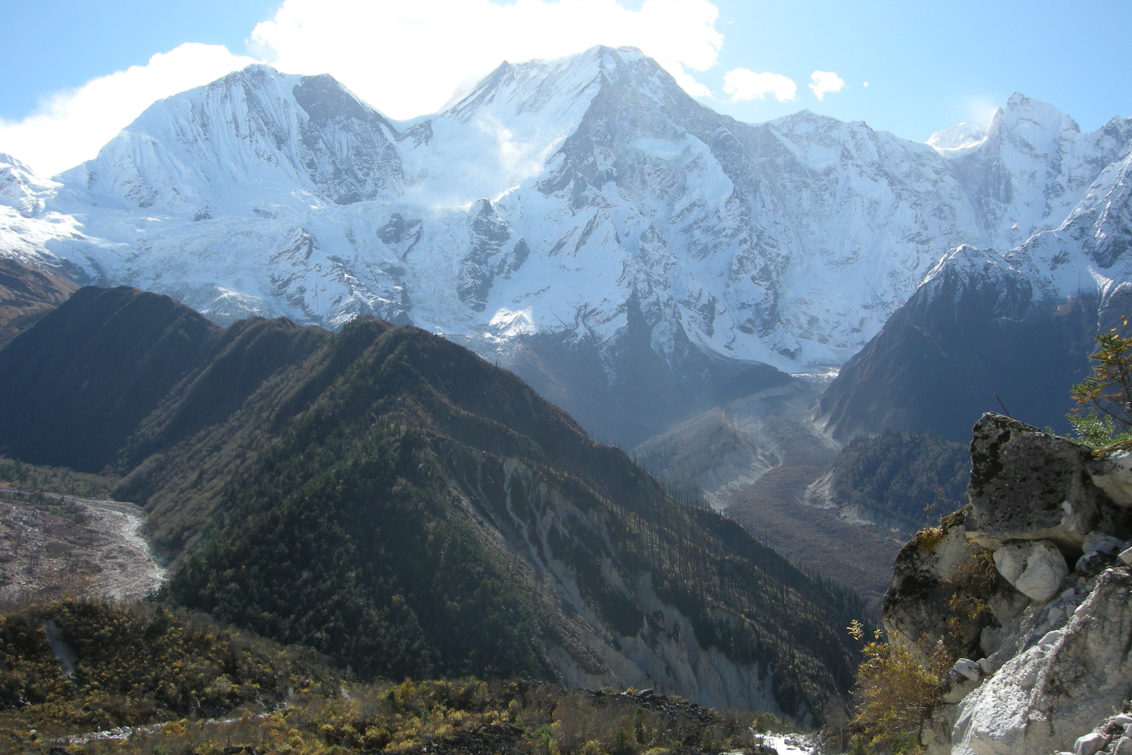 Bimtang Glacier :: at the high side morraine :: the Manaslu western slopes view
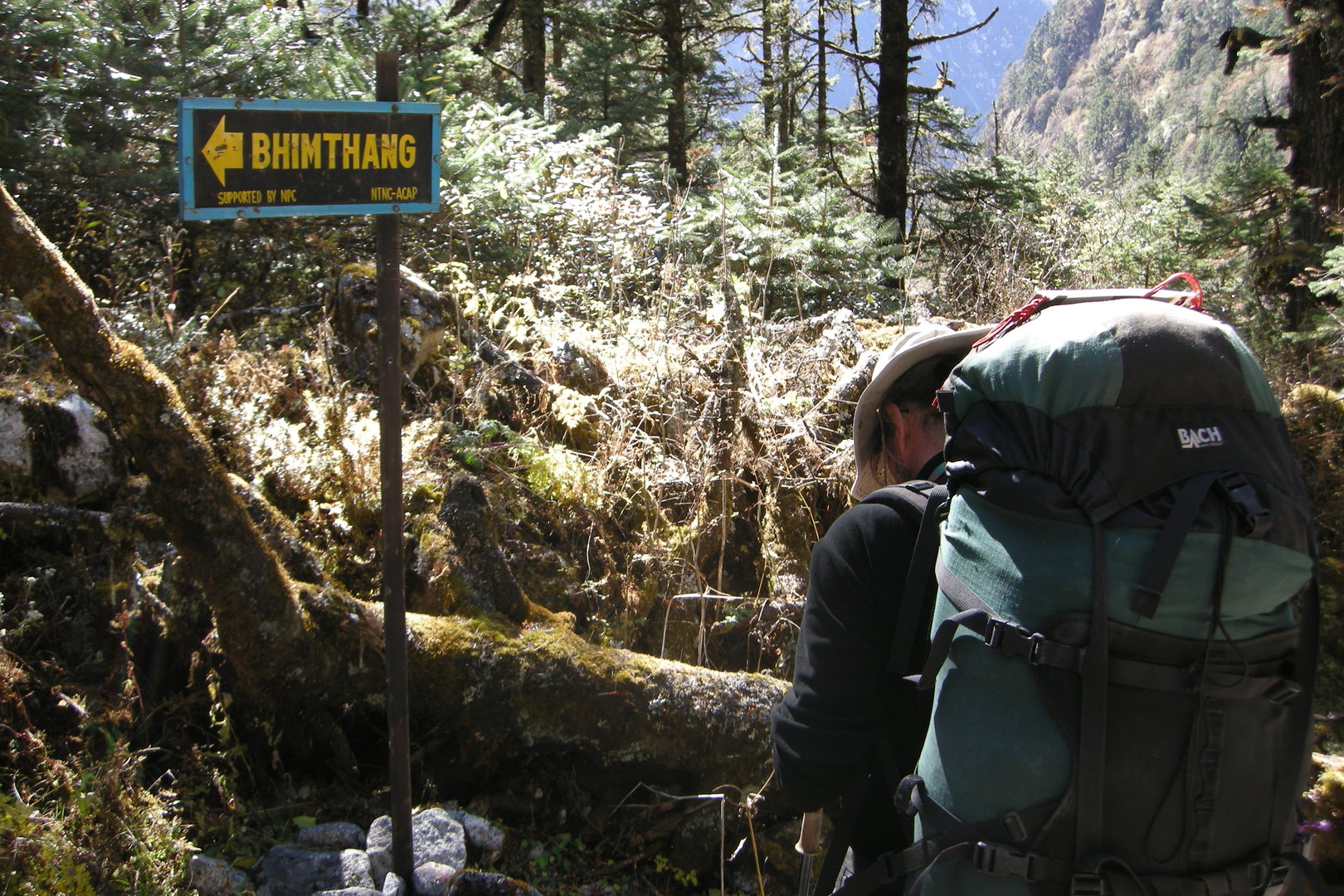 The upper Dudh Khola Valley :: entering the woods
 The upper Dudh Khola Valley :: in the woods
 The upper Dudh Khola Valley :: in the woods
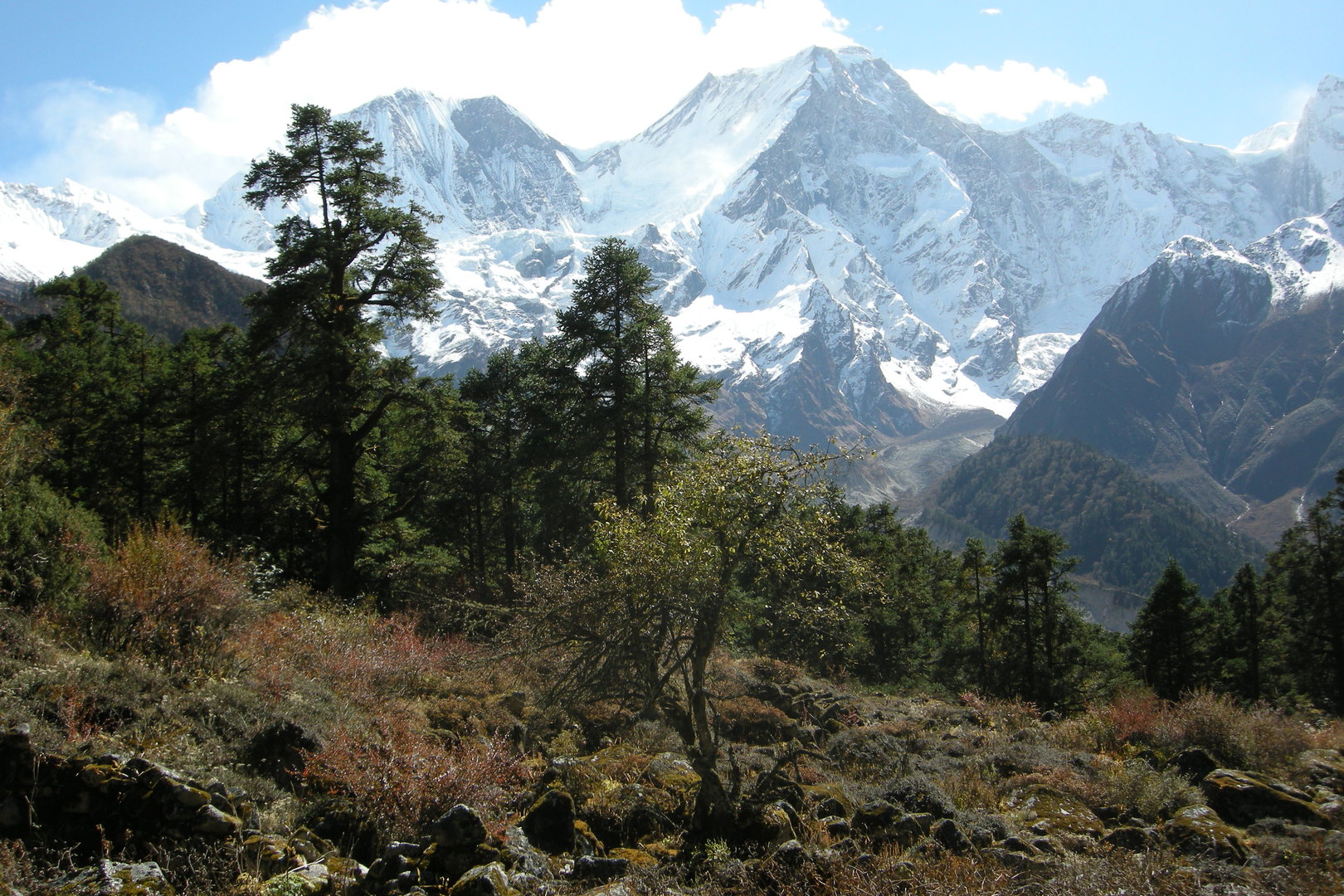 The upper Dudh Khola Valley :: western slopes of the Manaslu Himal :: part one
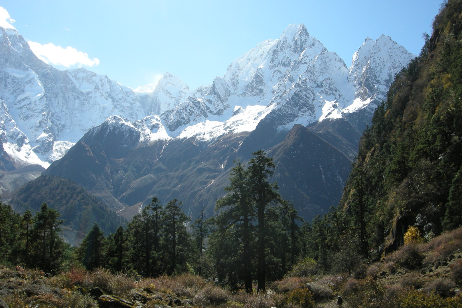 The upper Dudh Khola Valley :: western slopes of the Manaslu Himal :: part two
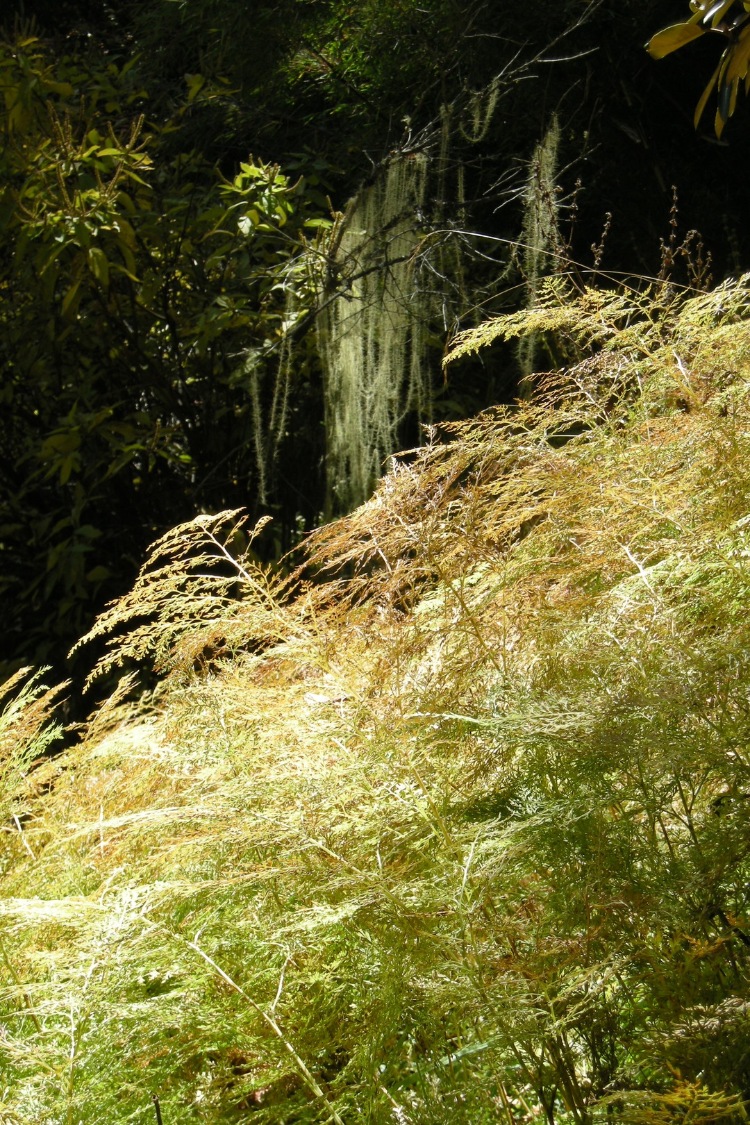 The upper Dudh Khola Valley :: in the woods
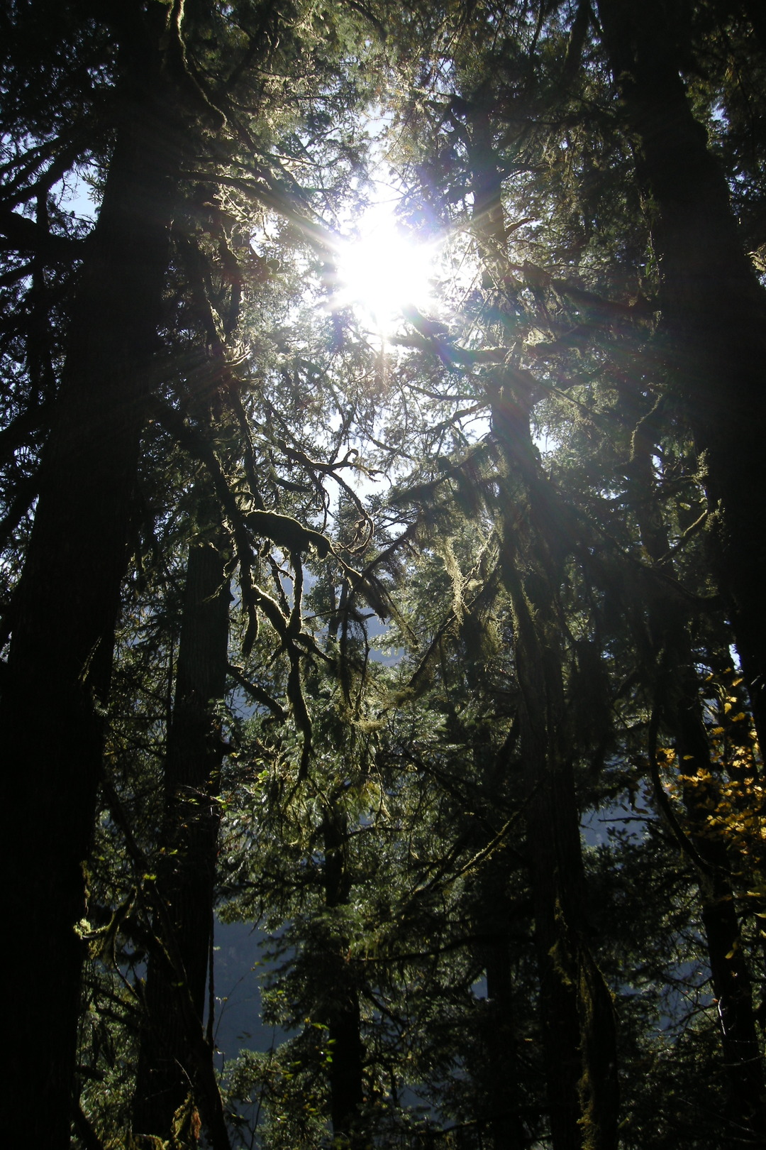 The upper Dudh Khola Valley :: in the woods
 The upper Dudh Khola Valley :: Phungge Himal zoomed
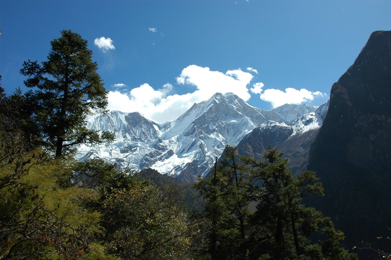 The upper Dudh Khola Valley :: promised - the last view of Manaslu
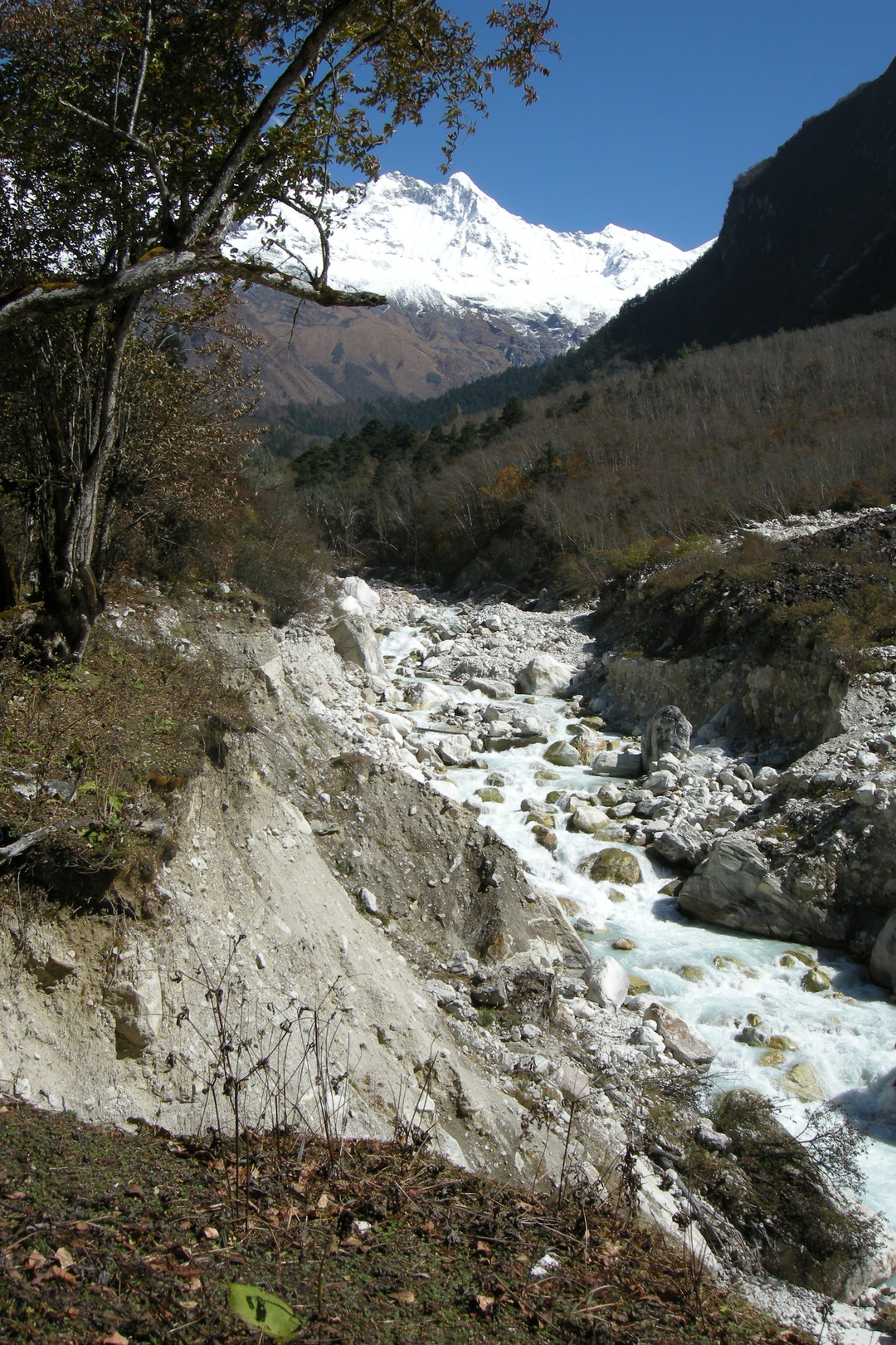 The upper Dudh Khola Valley :: down by the river :: eroded banks
 The upper Dudh Khola Valley :: dense woods
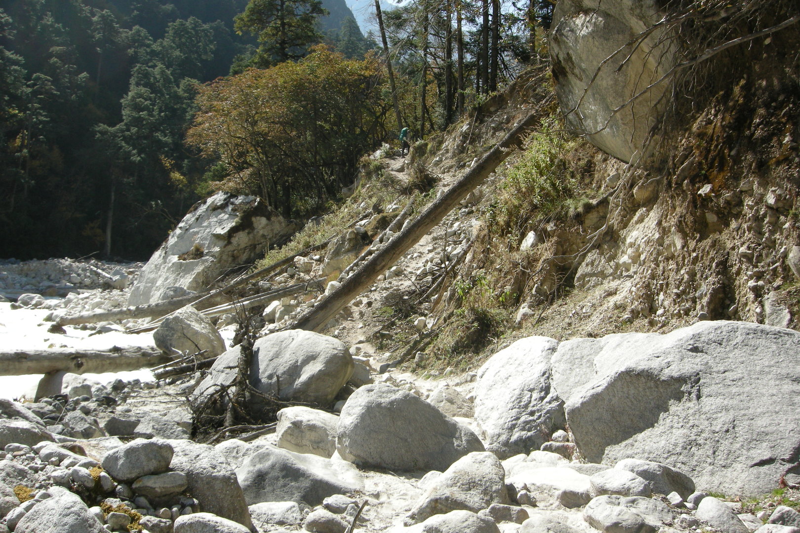 The upper Dudh Khola Valley :: following the river
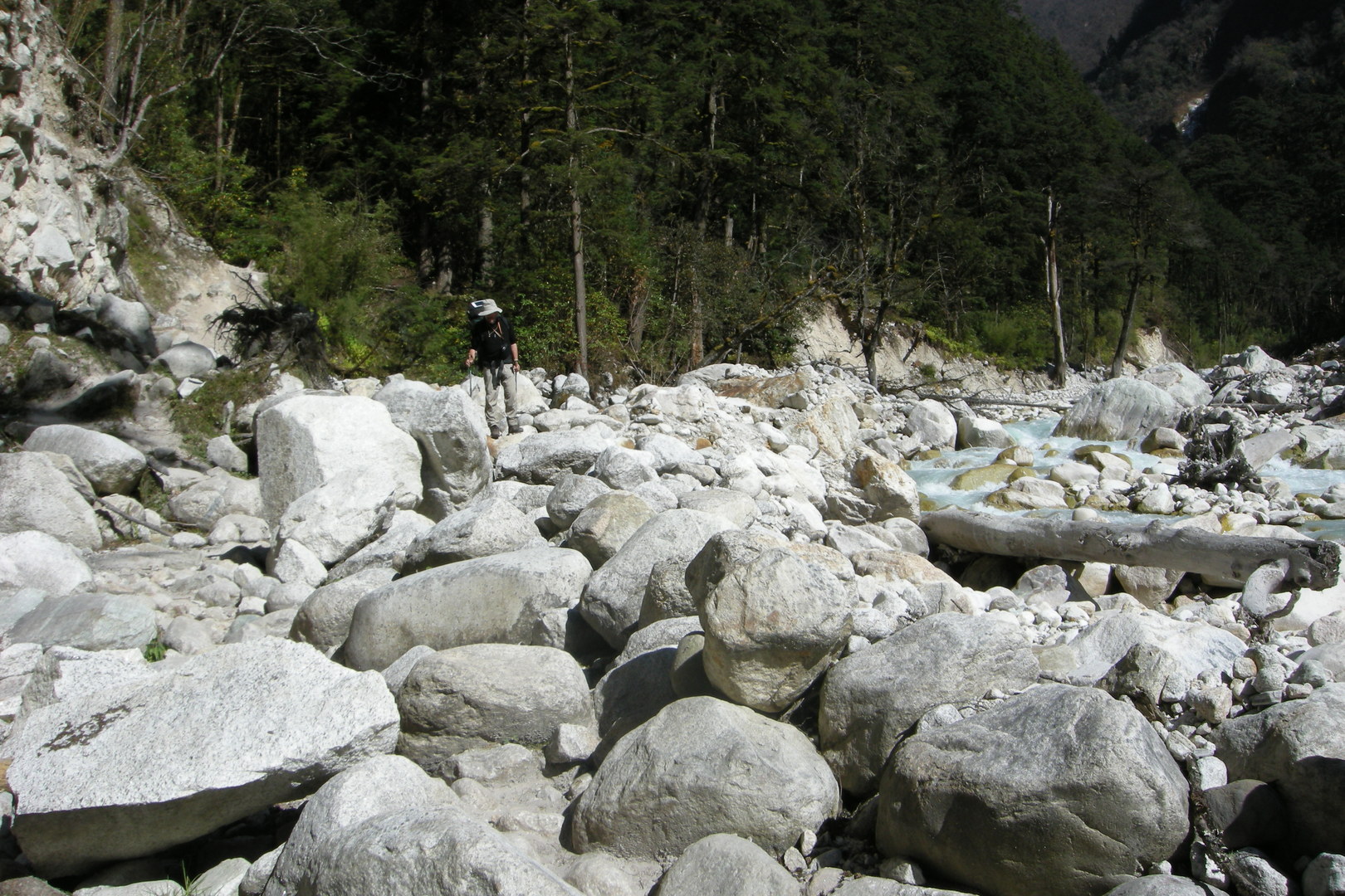 The upper Dudh Khola Valley :: following the river
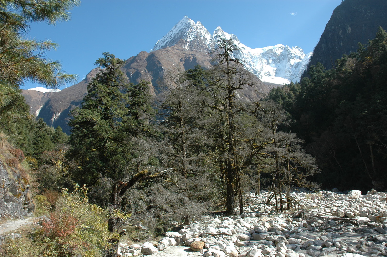 The upper Dudh Khola Valley :: the boulders in the river valley
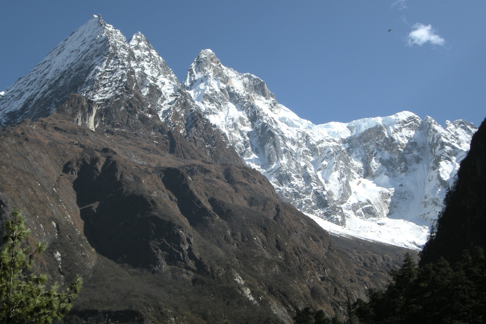 The upper Dudh Khola Valley :: looking up to the white peaks
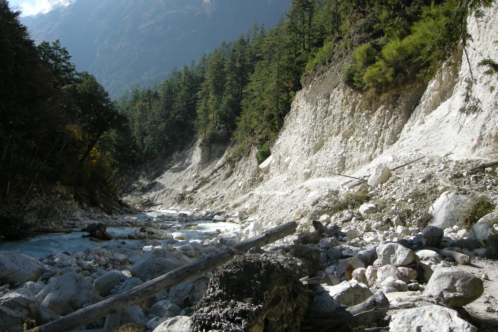 The upper Dudh Khola Valley :: along an eroded stretch
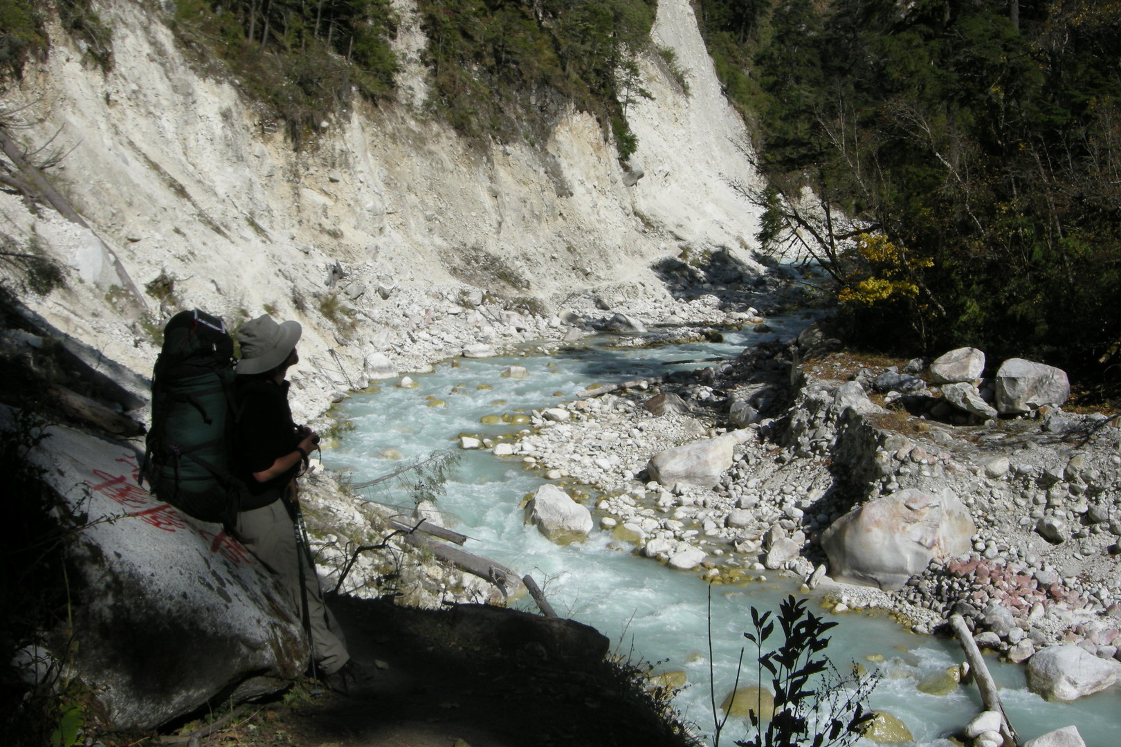 The upper Dudh Khola Valley :: leaving a nasty stretch behind
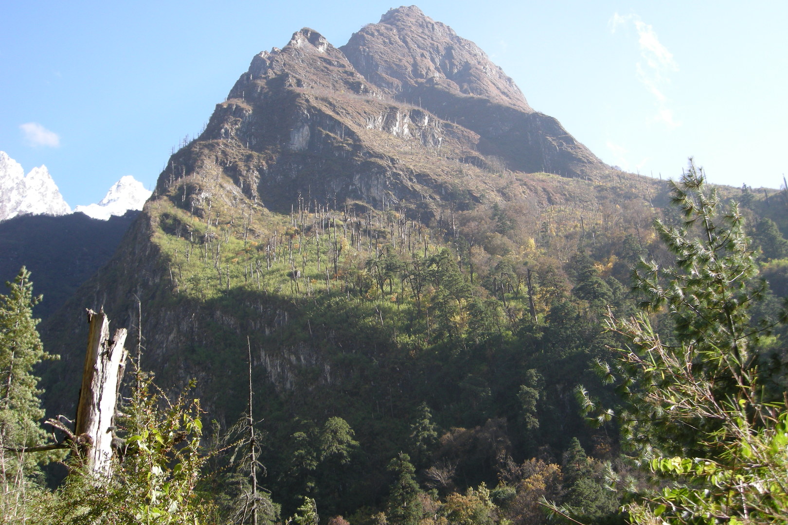 The upper Dudh Khola Valley :: looking up to a burned forest
 Gho :: the new lodge luxuries
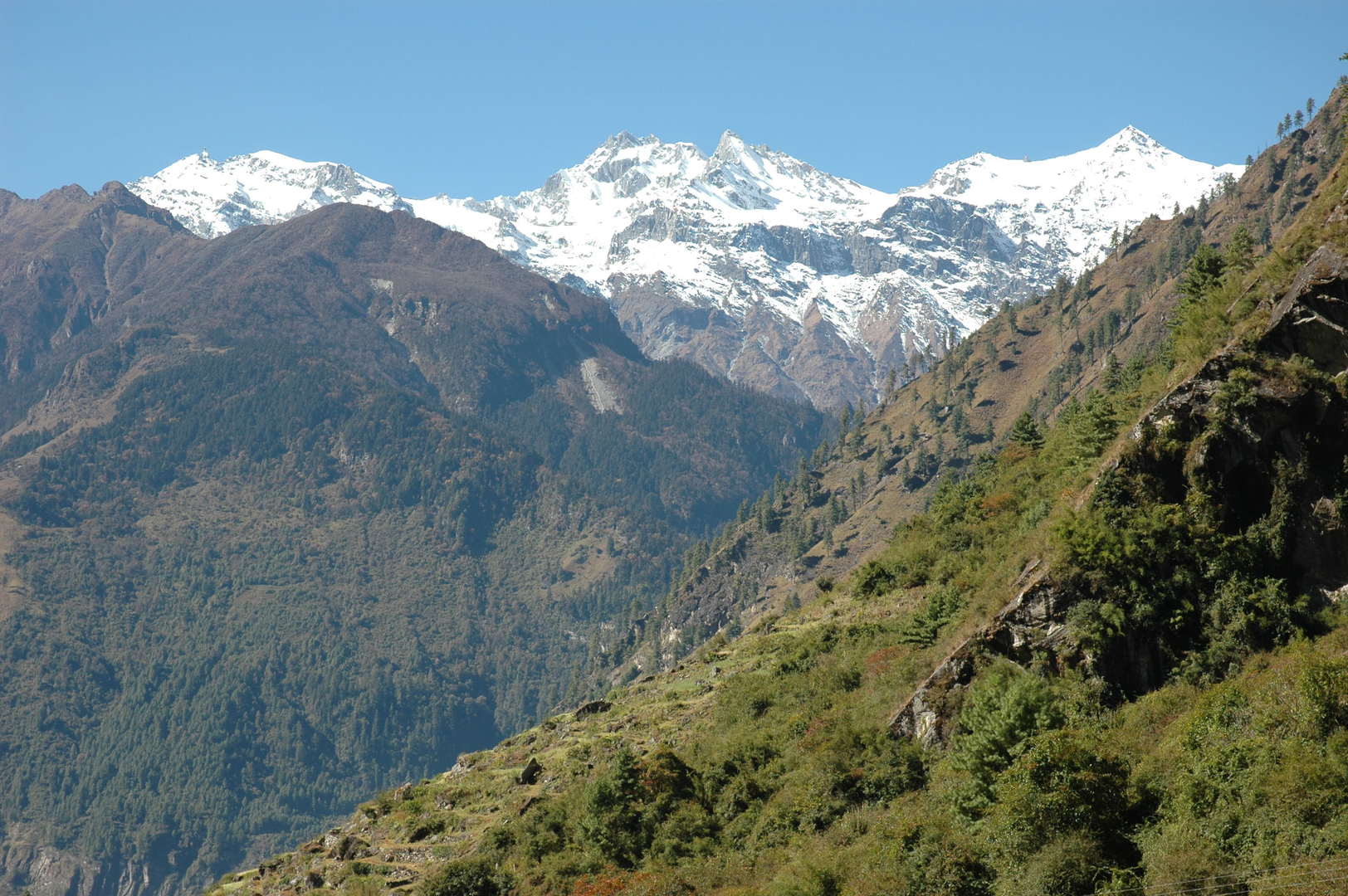 Gho :: Lamjung Himal in the Annapurnas in sight
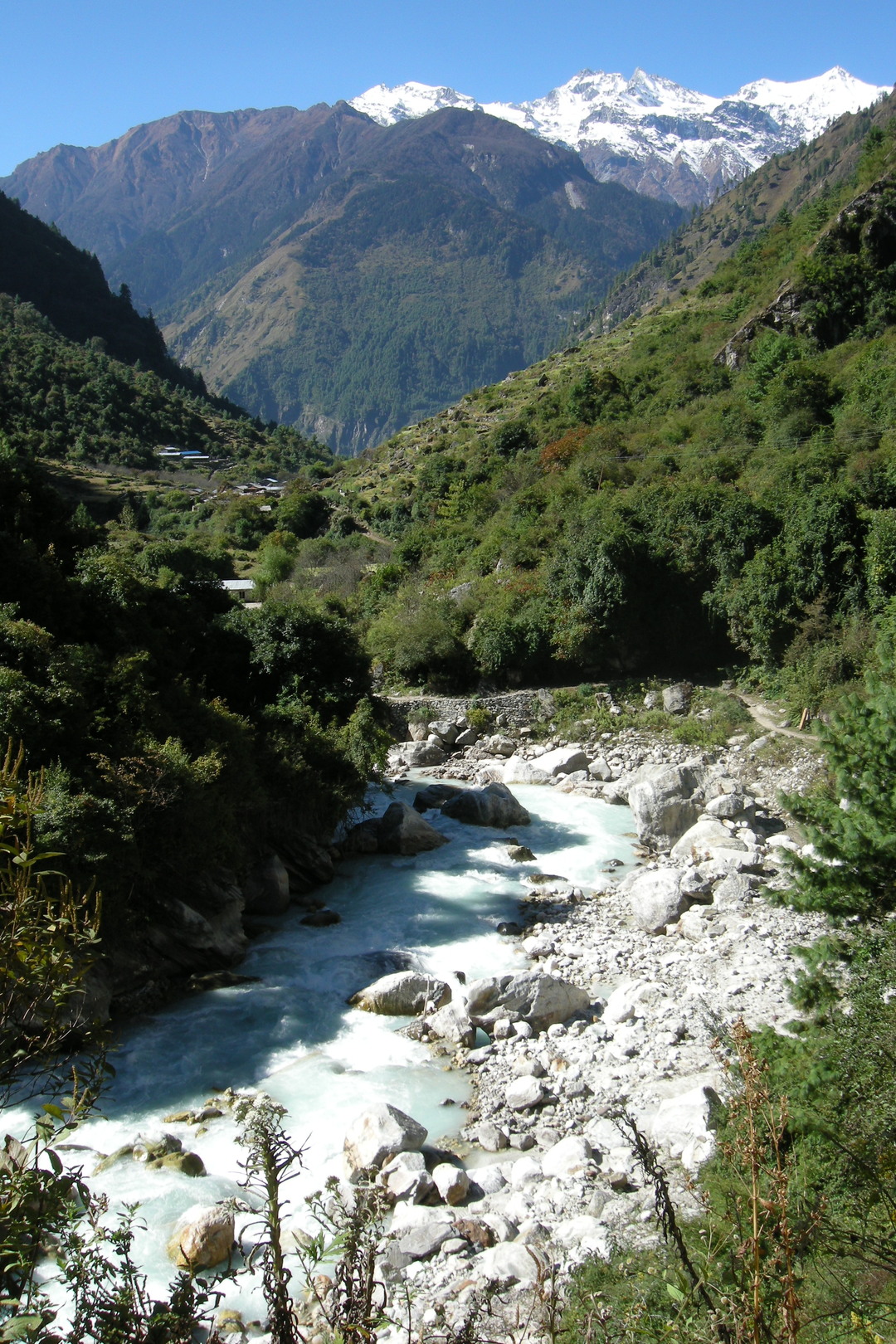 Towards Tilje, Lamjung Himal in the Annapurnas above
 Dudh Khola, the Milk River
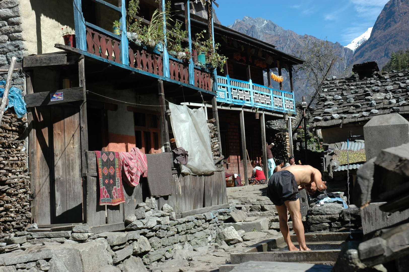 Tilje :: the washing day
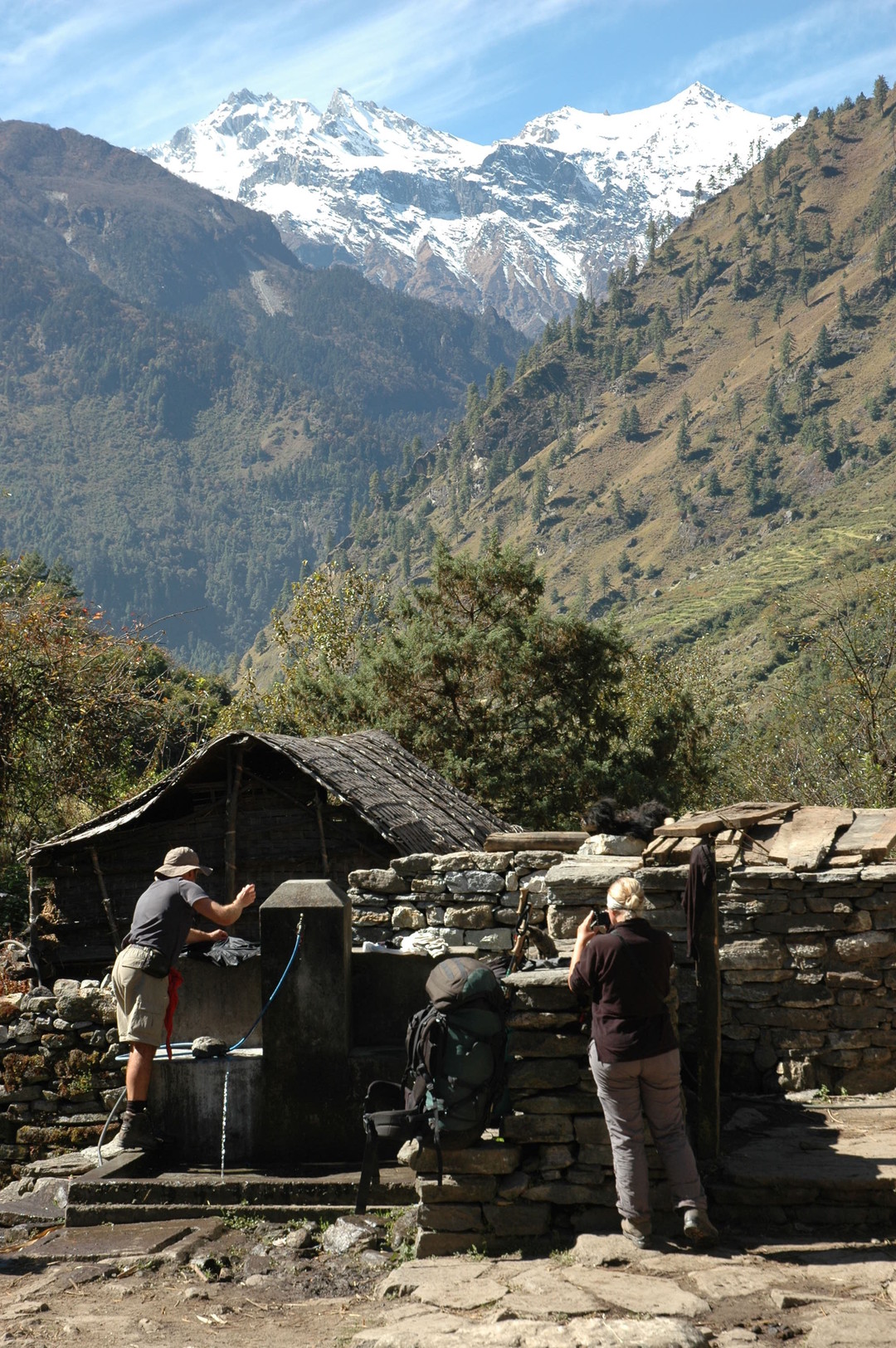 Tilje :: the washing day :: we too
 Tilje :: the bridge decorated for a festival
 Thonje and Dhorapani in sight :: joining the crowded Annapurna Circuit soon
 Dhorapani (Thonje part) :: The Manaslu Circuit ends :: go back?
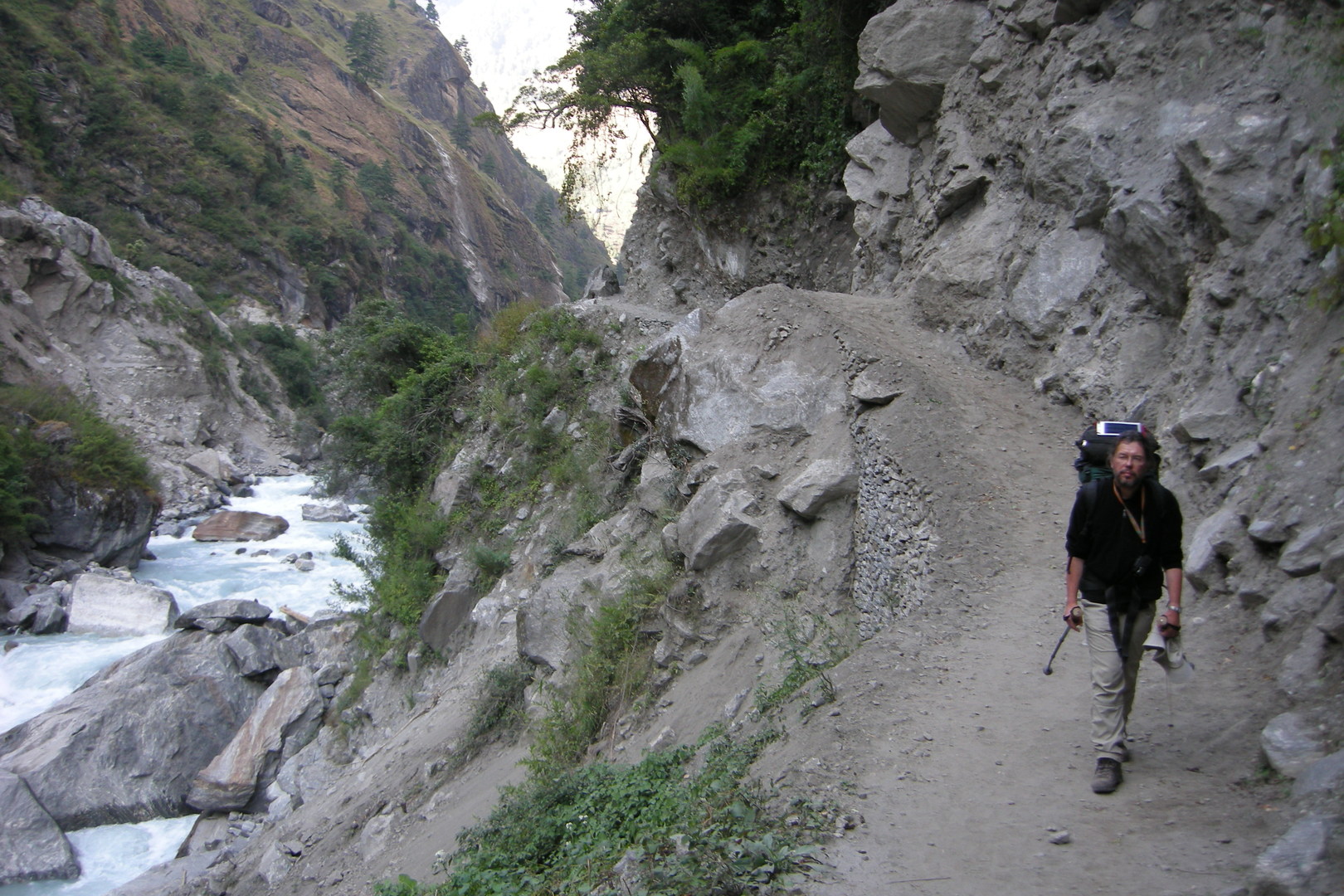 Towards Kharte
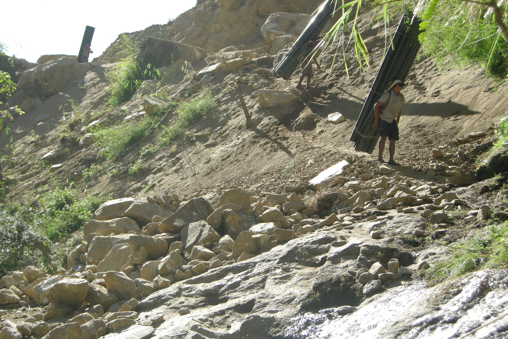 South of Kharte :: industrial landscapes on the new road to Manang
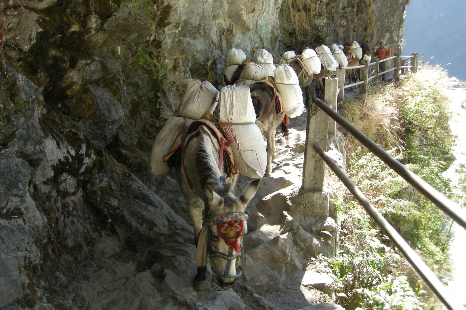 North of Tal :: a mule caravane to Manang
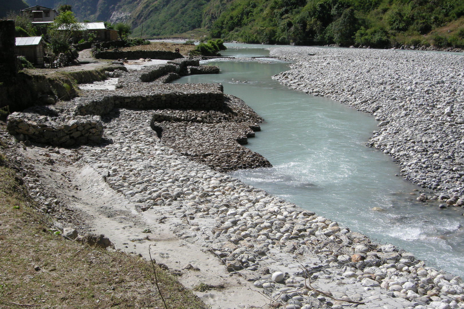 Tal :: securing the lodge investments against the Marsyangdi forces
 Tal :: the consumers of the trekking industry
 Tal :: one of the porters for consumer goods going up the Marsyagdi
 Tal :: why are they closed? :: too strong the competition?
 Tal :: the Annapaurna Circuit circus in the pure form
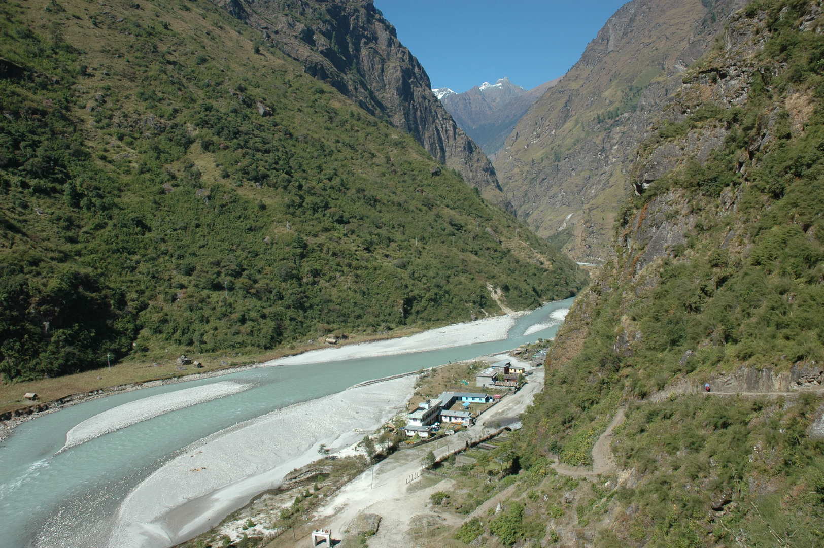 South Tal :: the Marsyangdi
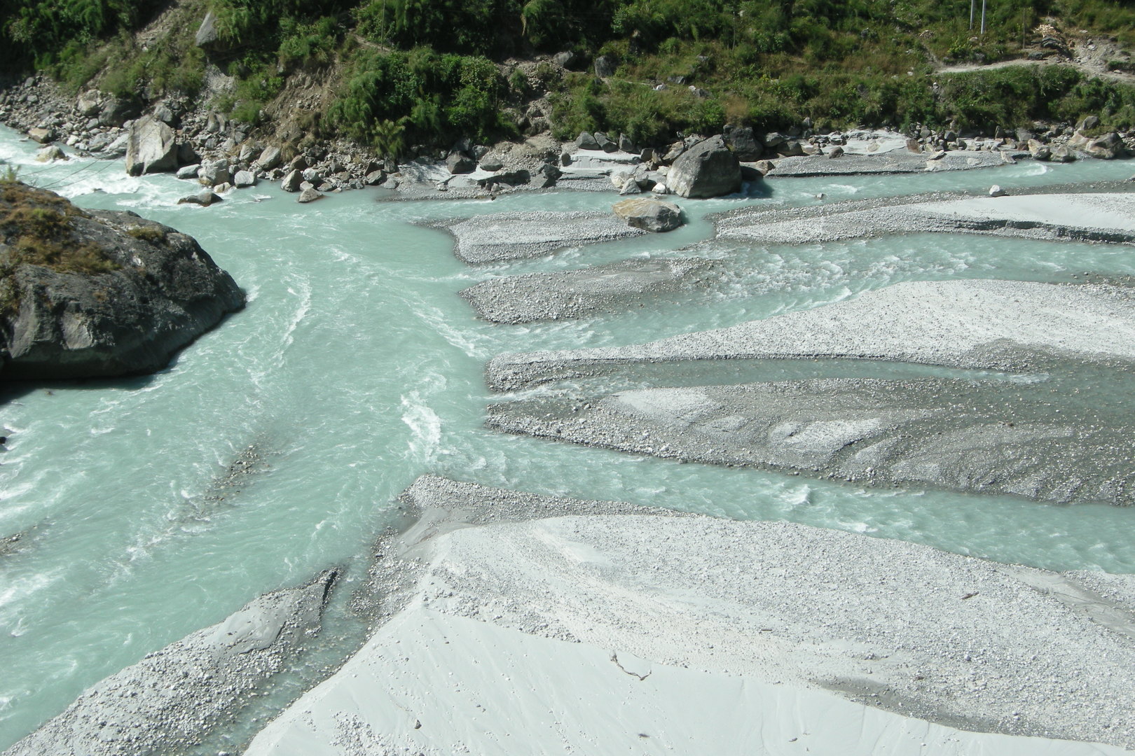 South of Tal :: the Marsyangdi enters her falls
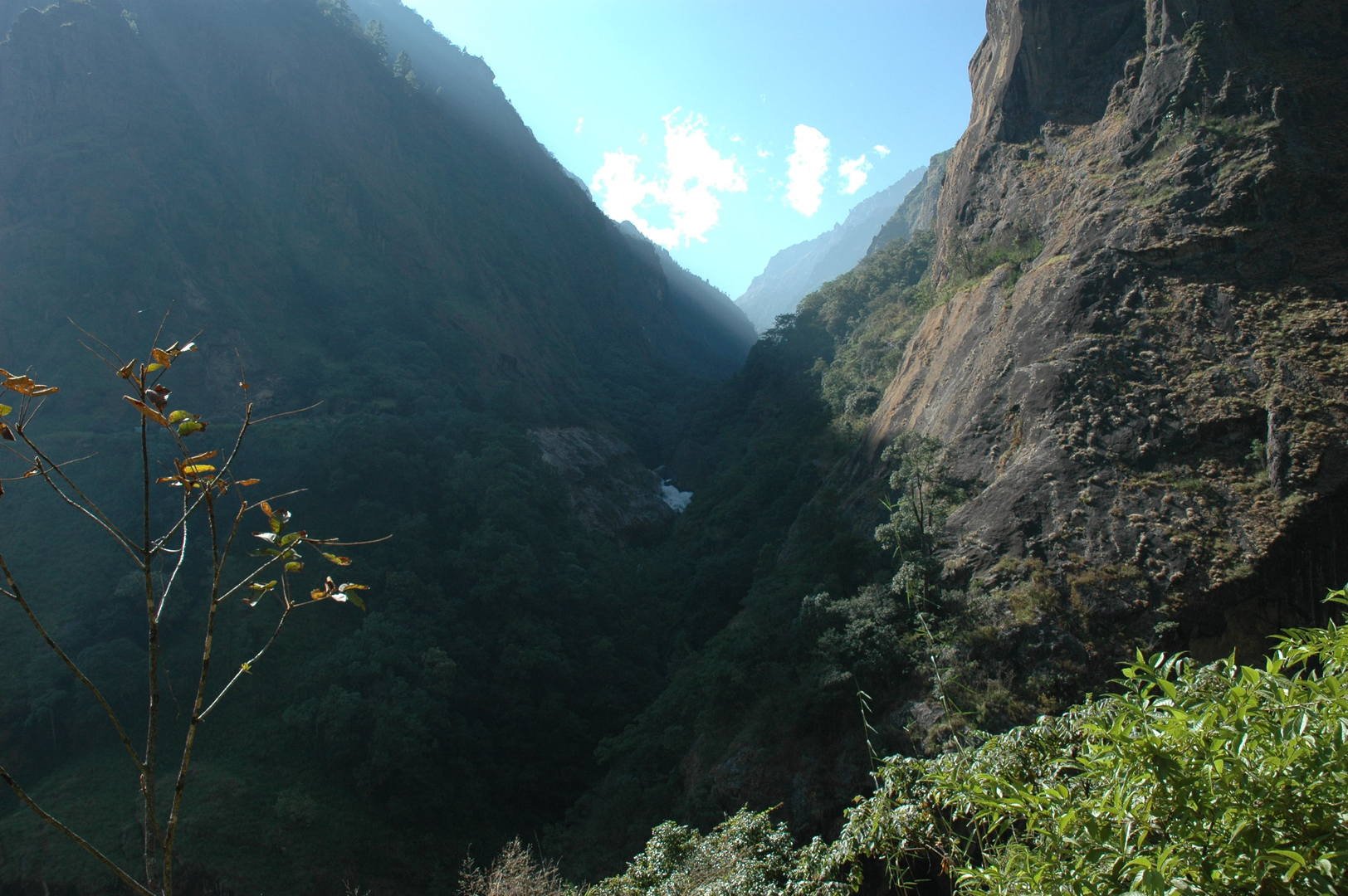 South of Tal Phedi :: the Marsyangdi falls, similar to the Buddhi Gandaki below the Yaru Khola confluence
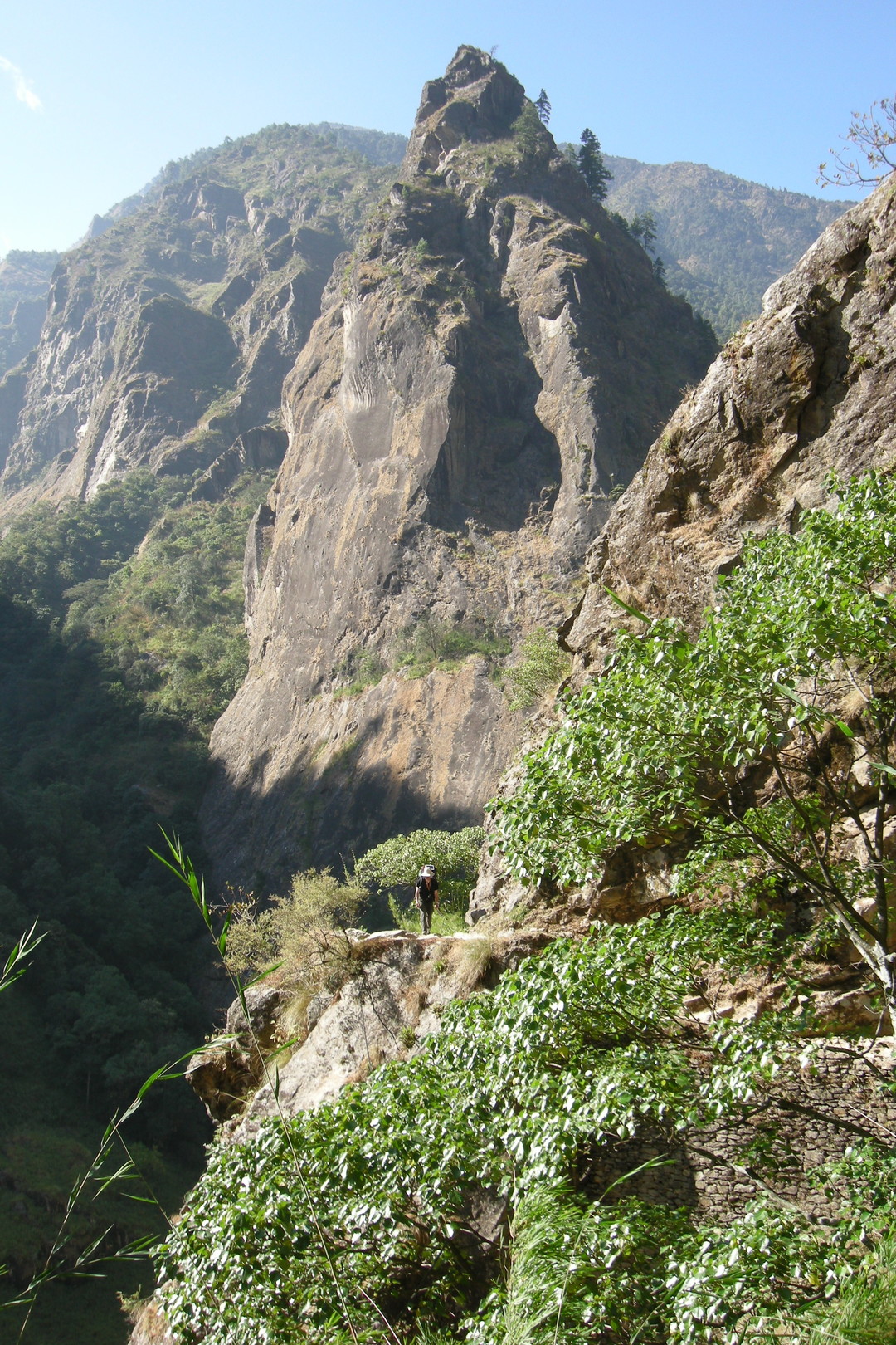 Myardi Khola outflow to the Marsyangdi (opposite) :: the high trail
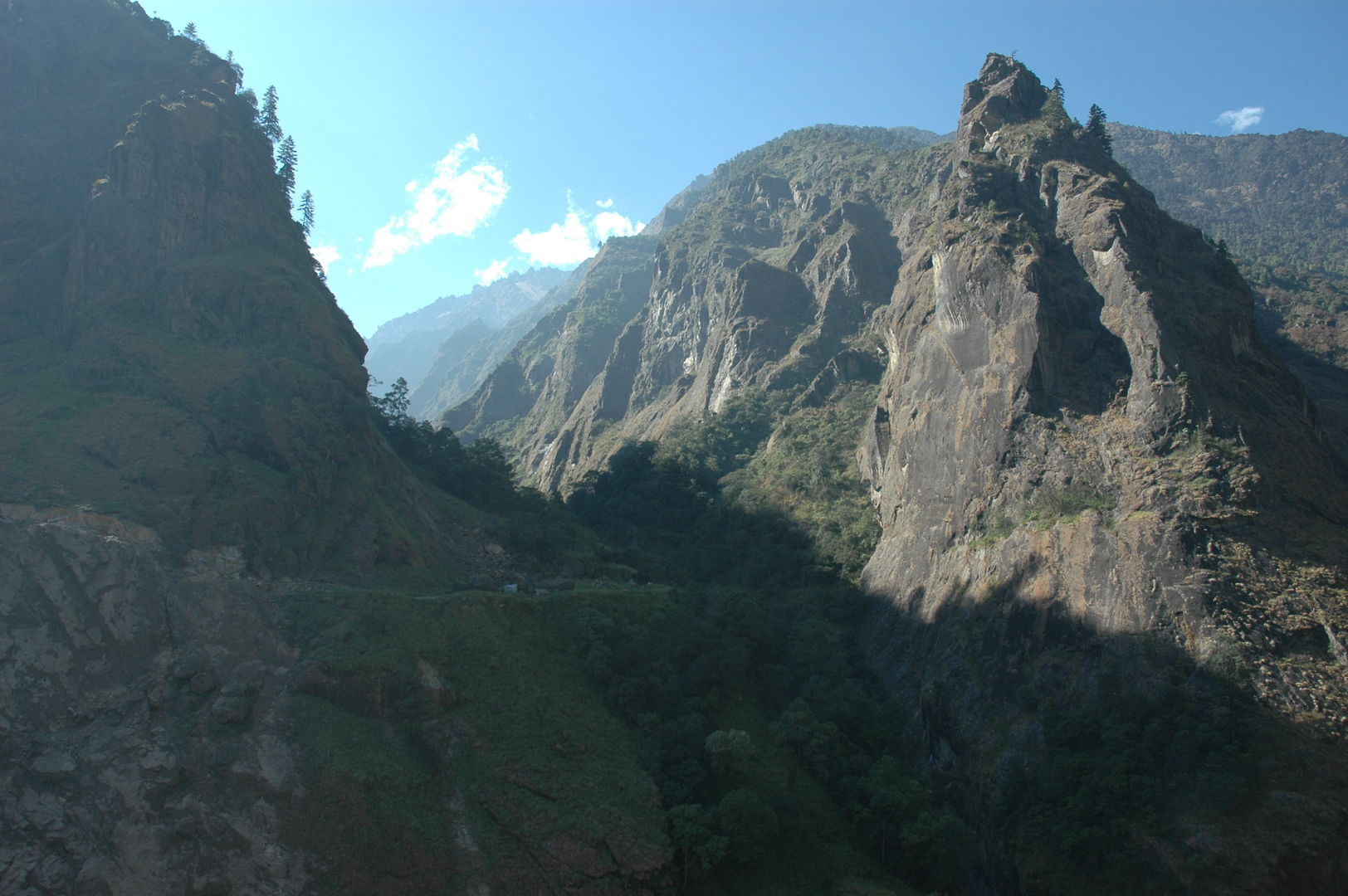 Myardi Khola outflow to the Marsyangdi :: the front of the new road works
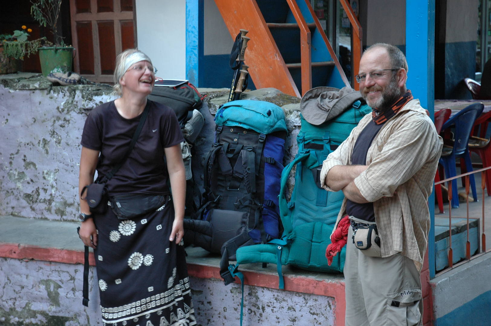 Reached Chamje :: why not to stay here?
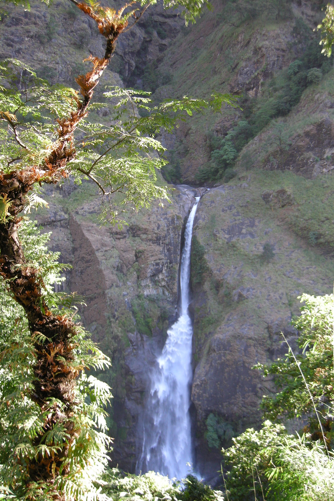 South of Chamje :: a well described waterfall opposite
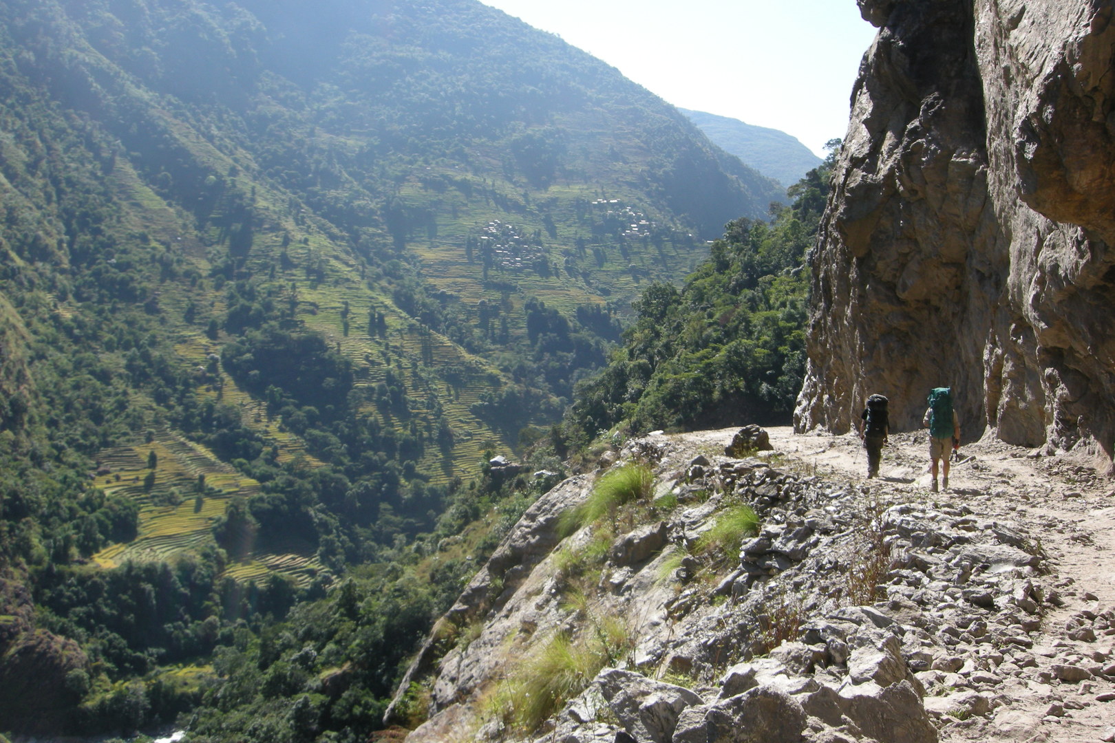 From Jagat to Syange :: The famous Annapurna Circuit reduced... to a dirt road
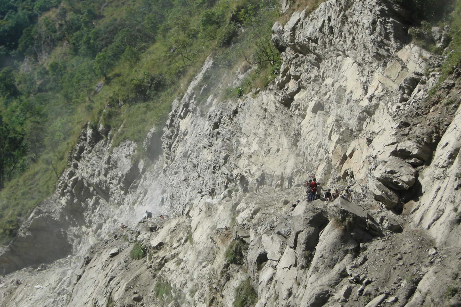 From Jagat to Syange :: trying to break through a man-made landslide with the new road
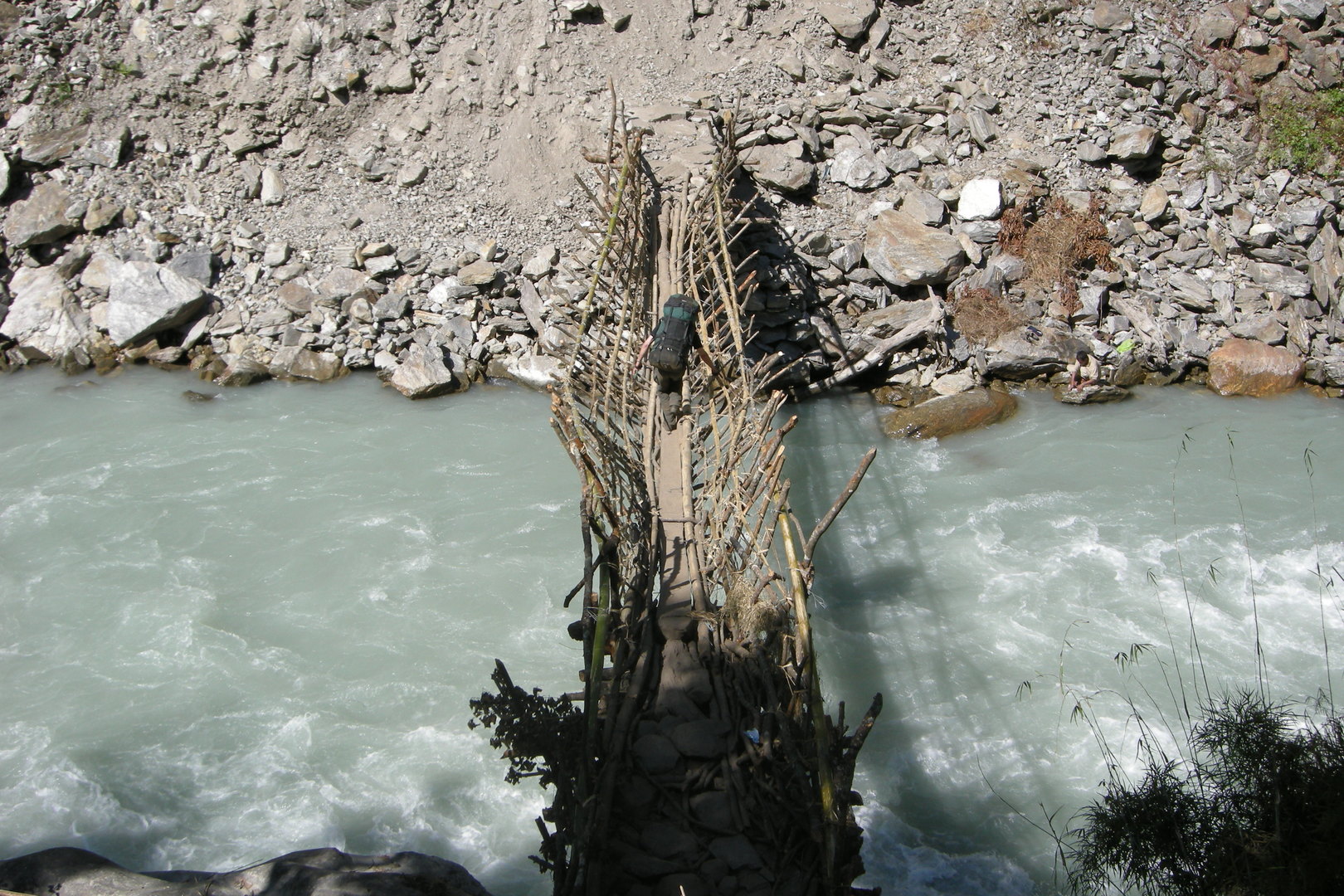 From Jagat to Syange :: a makeshift bamboo bridge over the Marsyangdi :: circumventing the landslide
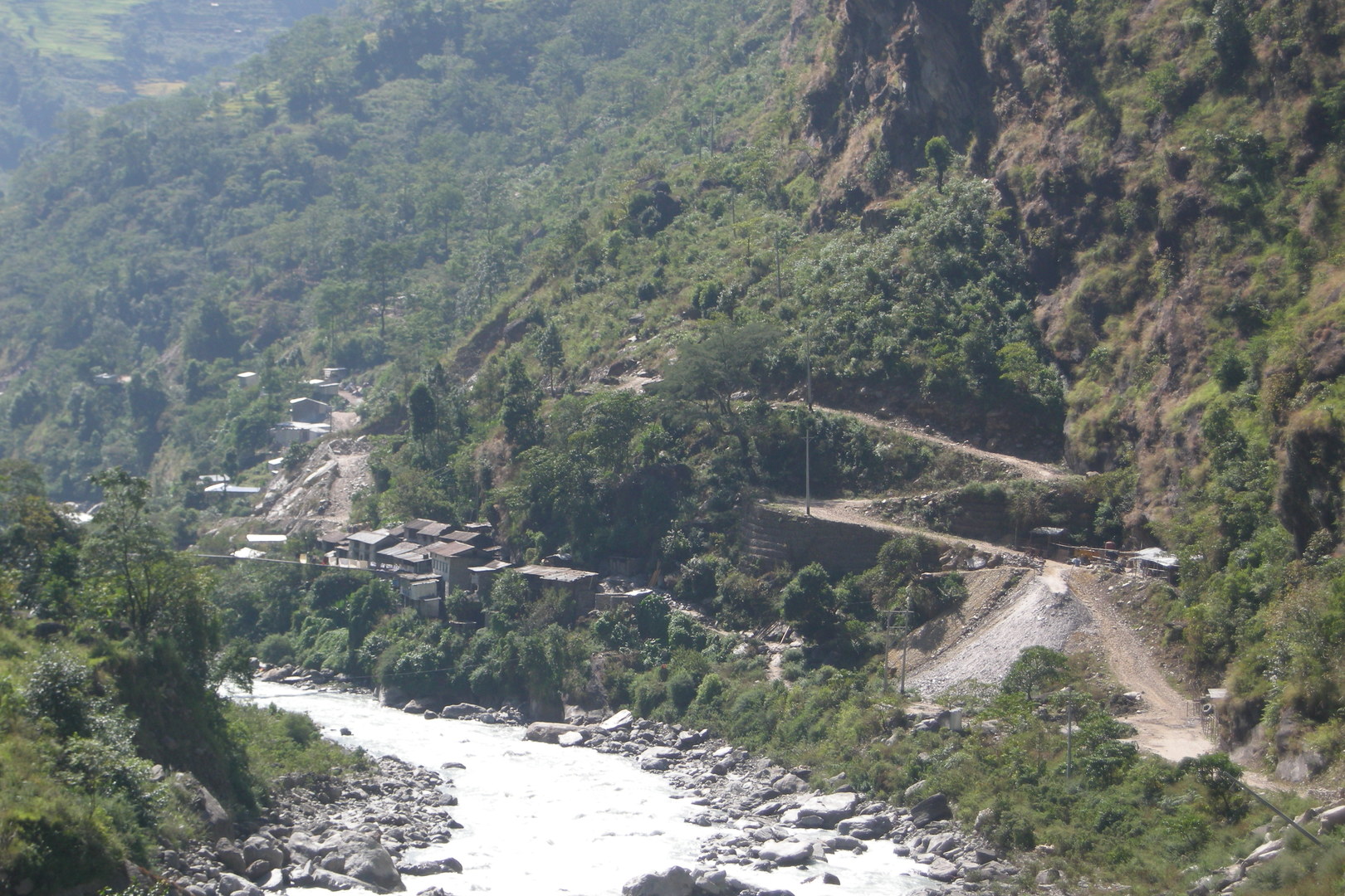 Syange :: the proud new roadhead, presently not reachable due to a landslide below
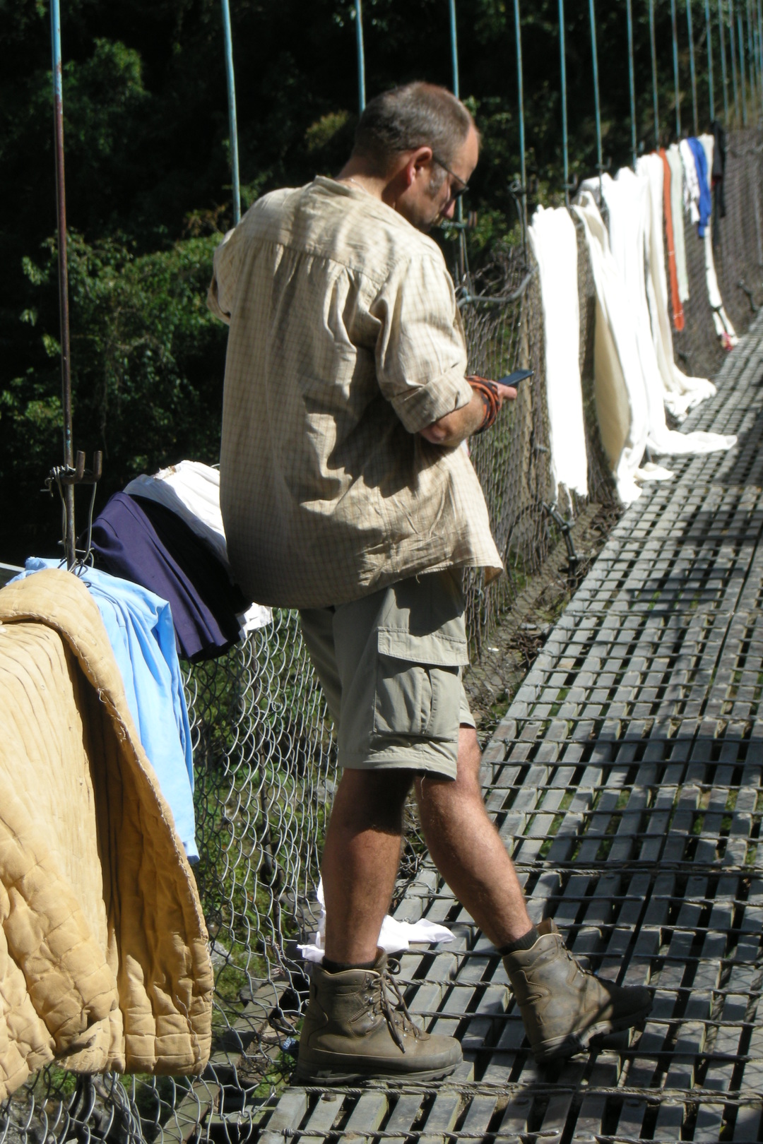 Syange :: in the range of the mobile phone antennas
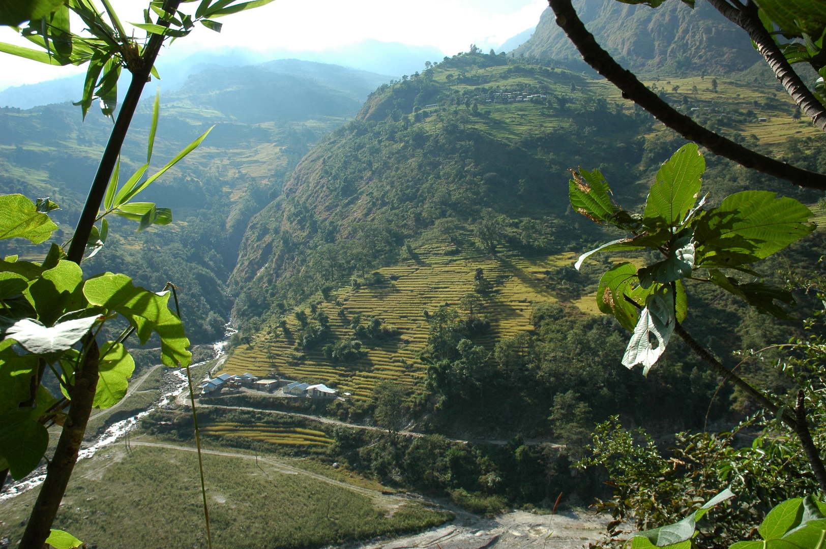 By Ghermu :: rice fields terraces
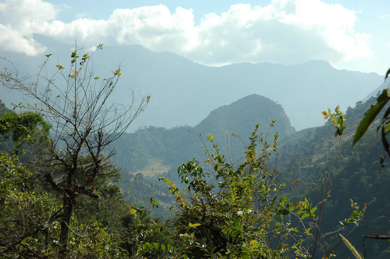 Ghermu :: The characteristic Bahundanda Hill in sight
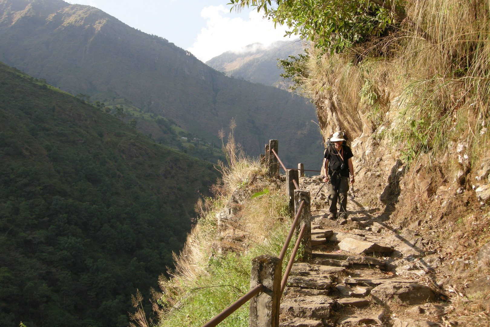 Southbound to Bahundanda :: a trail stretch with railings
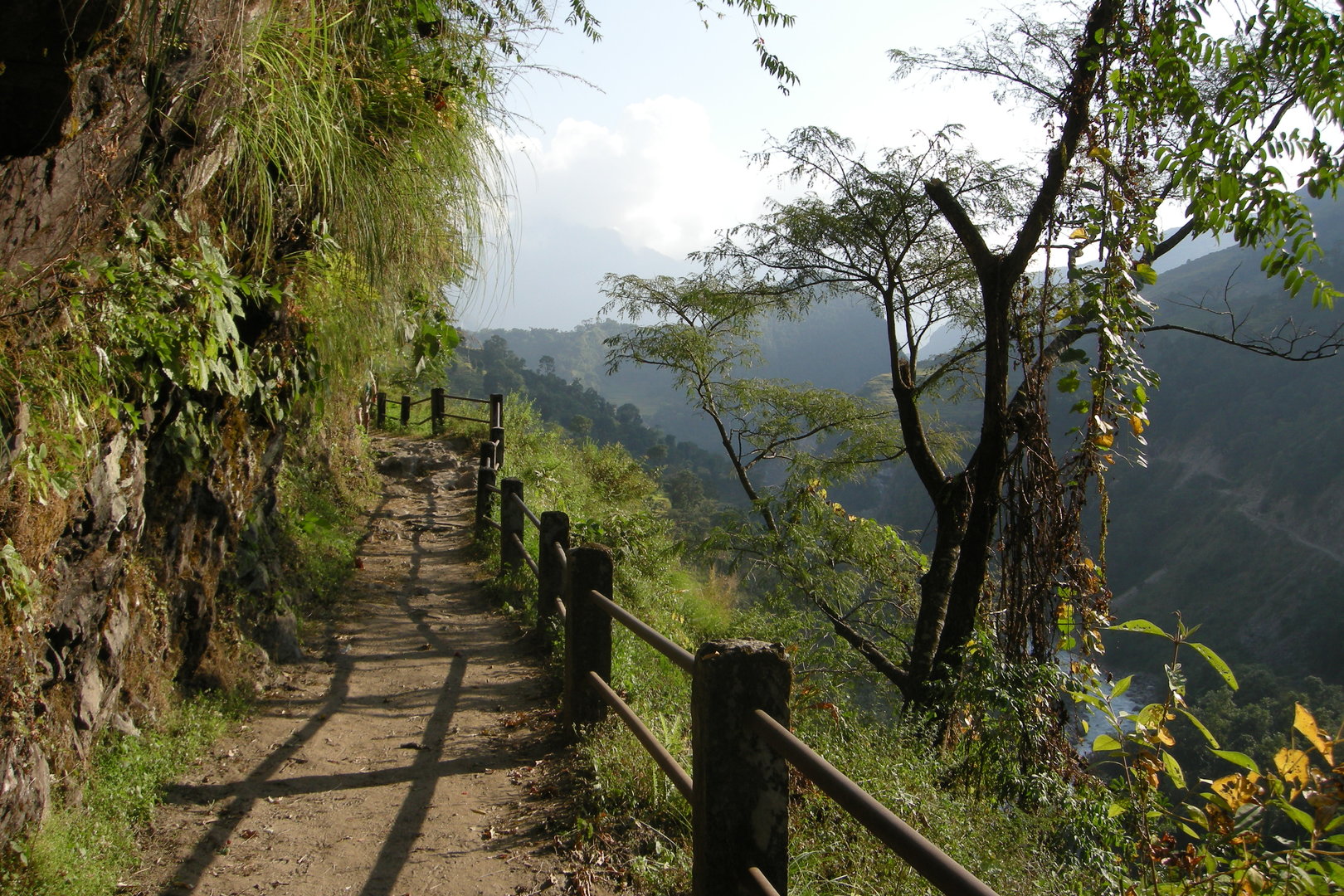 Southbound to Bahundanda :: a trail stretch with railings
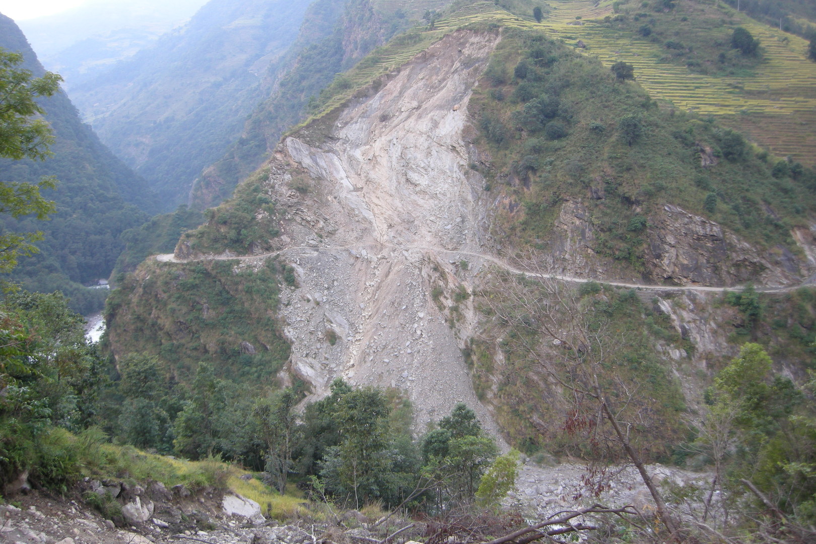 By Bahundanda :: just another landslide caused by the new road works opposite
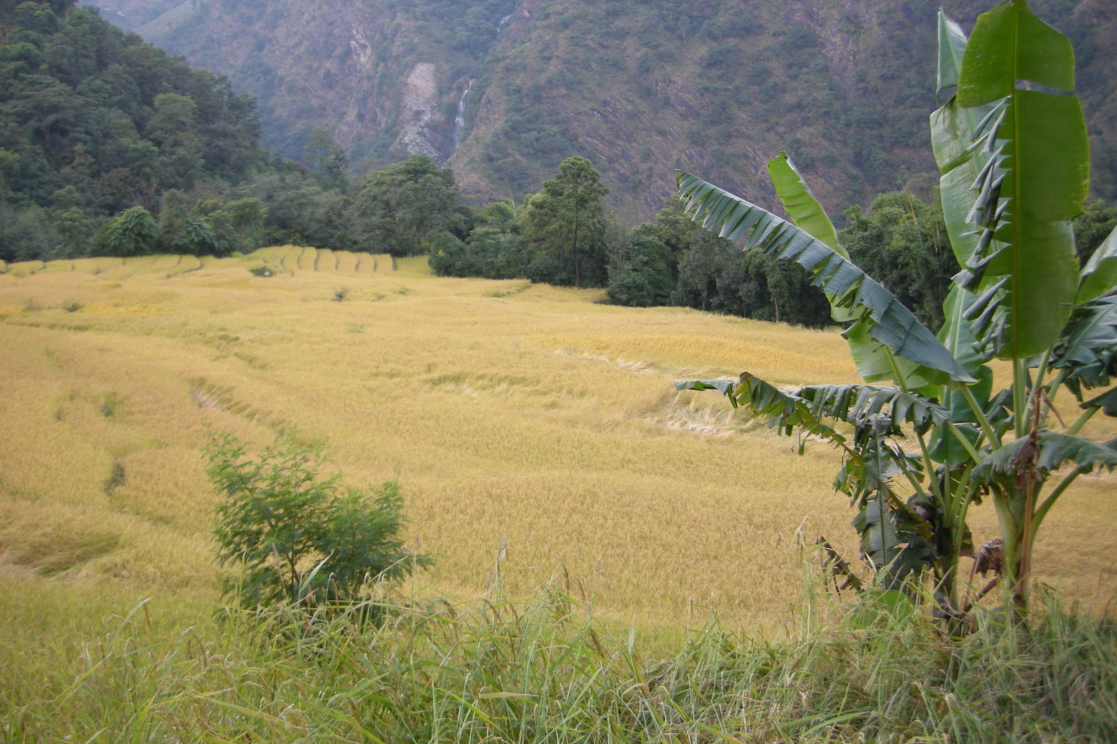 By Bahundanda :: ricefields
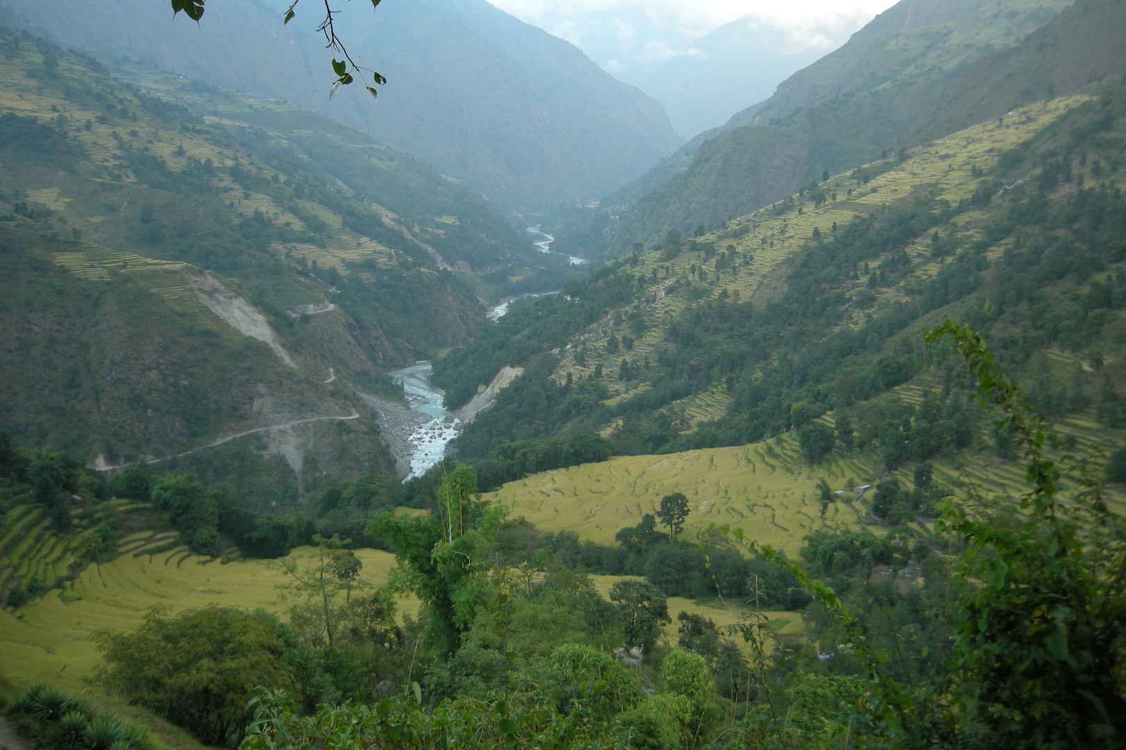 Climbing the Bahundanda Hill :: the view north
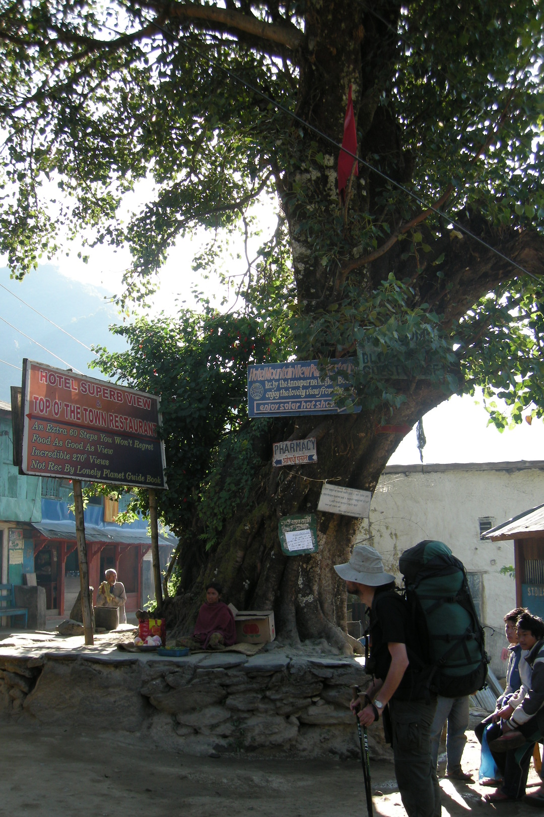 Bahundanda :: the old friend - the bodhi tree in the middle of the village
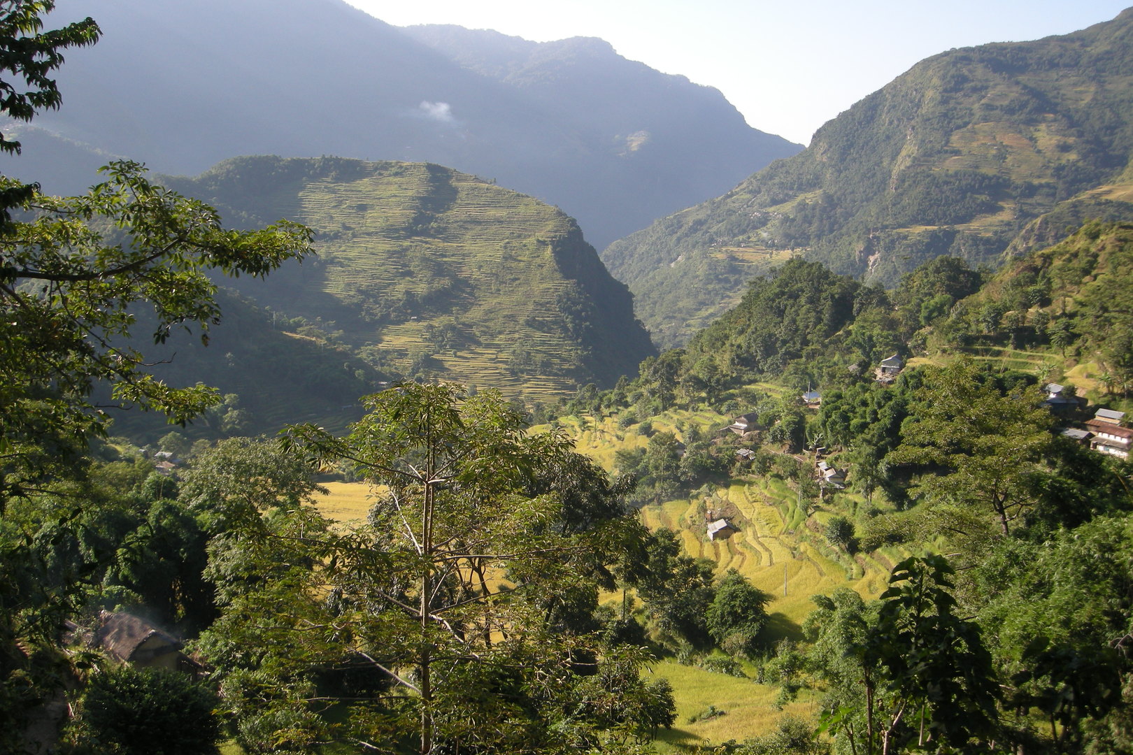 Bahundanda :: looking south from the hill towards Ngadi
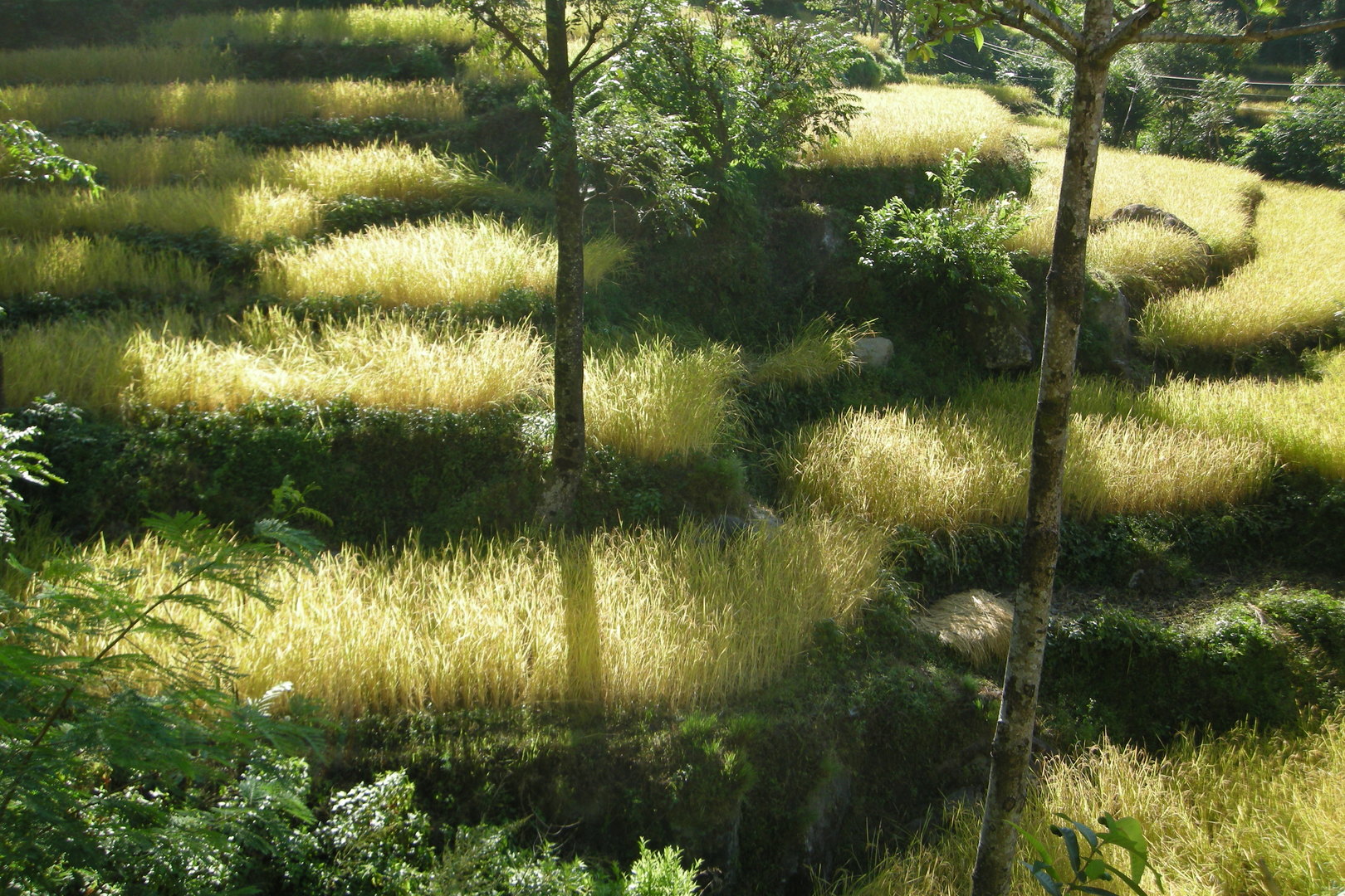 By Lampata :: rice fields
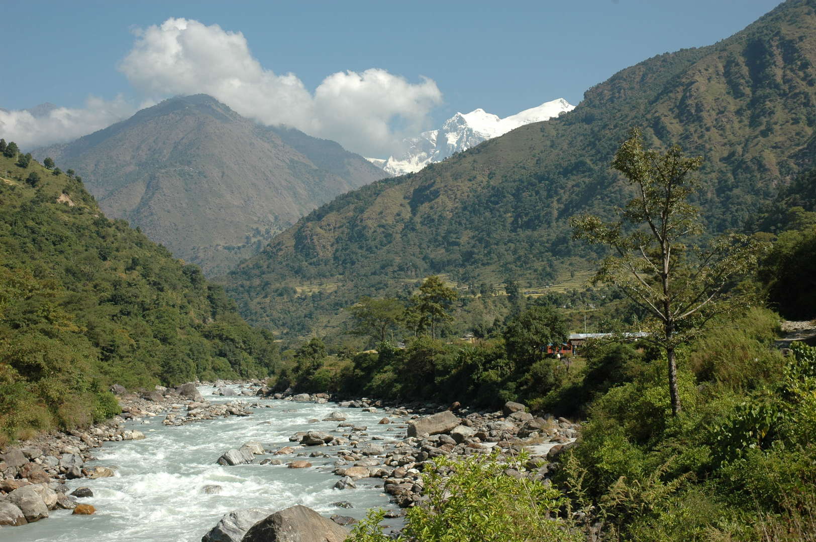 South of Ngadi :: the last Himalchuli view
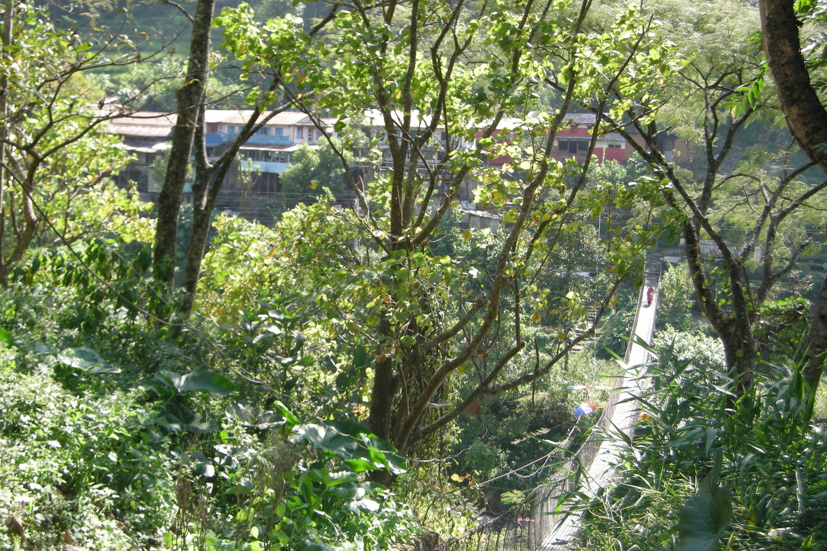 Bhulbule :: the Marsyangdi bridge, the last one
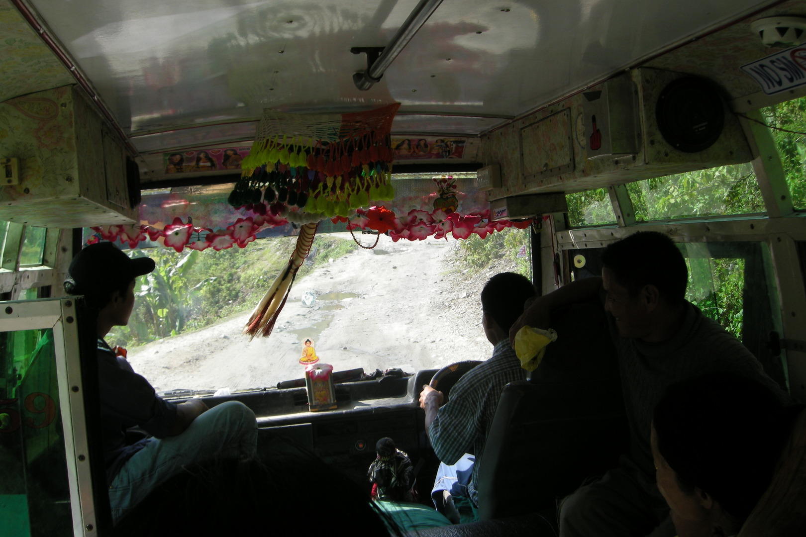 The road to Besisahar :: Ganesh and Buddha :: please help us...
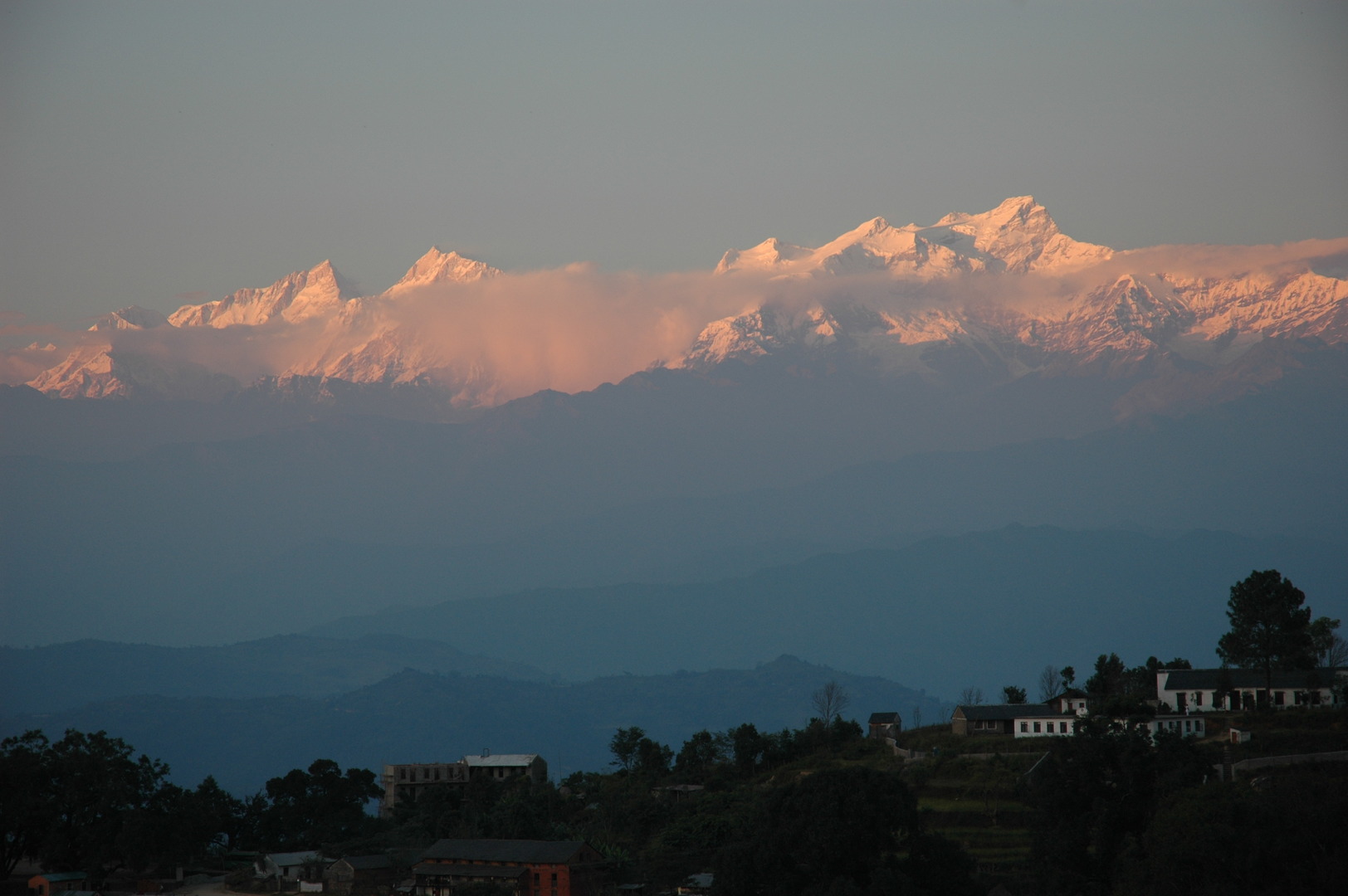
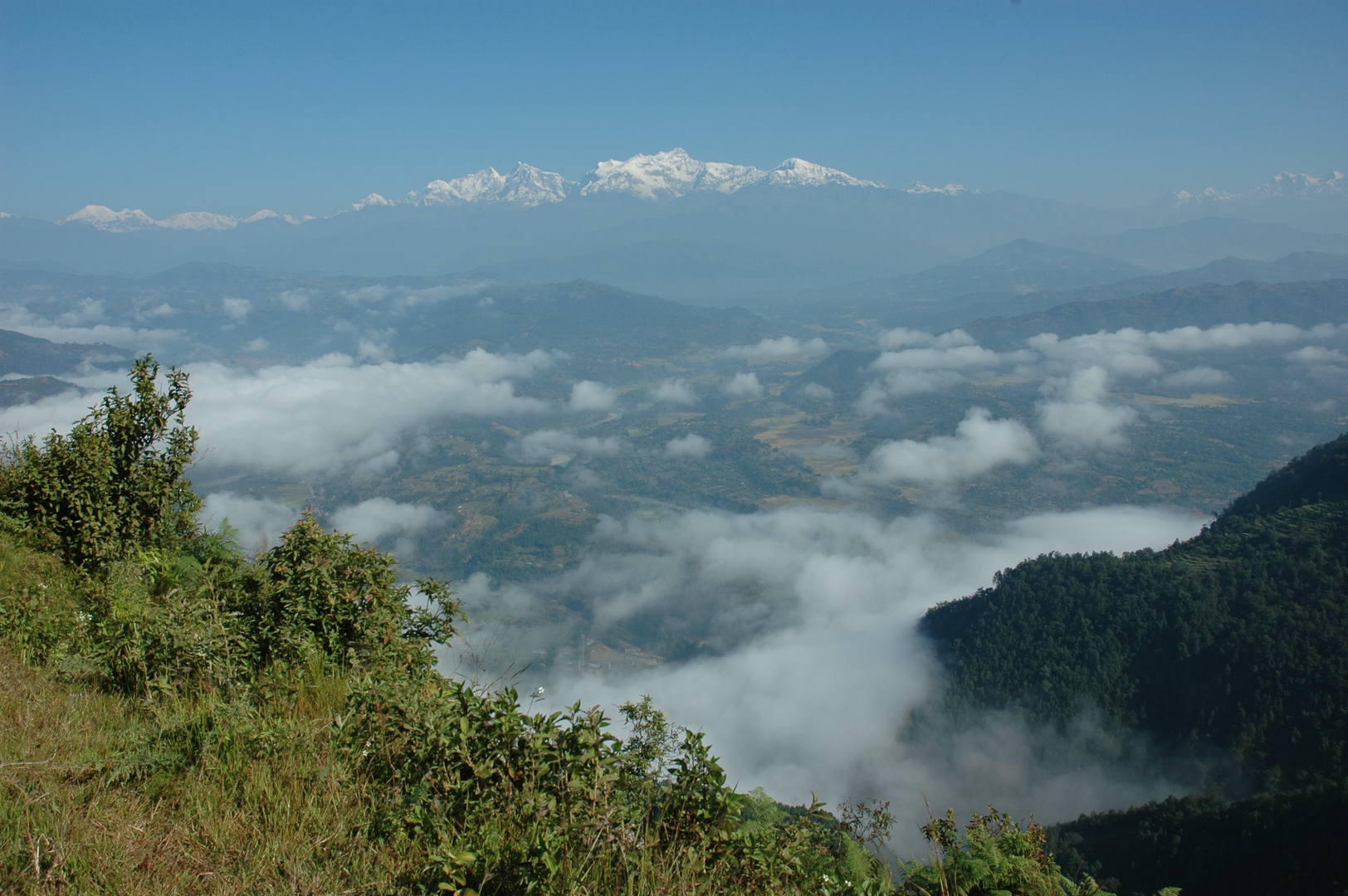 Bandipur :: looking back over the Marsyangdi Valley towards the far Manaslu Himal
 - Gallery Around Manaslu on pastvoyages.jankowski.org, old-style smaller pictures.
- Detailed remarks from the trail — the very own experience (a text from 2009),
- Old version of remarks from zanskar.org.
- The Manaslu Circuit resources from zanskar.org.