After a day in Fjallabak, we drove from the Þjórsá river valley to the Snæfellsnes peninsula via the majestic Kaldidalur route between the huge Langjökull glacier and the Ok mountain (its glacier had already melted…), visiting on the way three fine waterfalls.
The first waterfall, Brúarfoss, is one of these typical internet-driven tourist attractions of Iceland. To the shock of landowners and habitatants of the nearby collection of summer houses, a few years ago hordes of tourist suddenly appeared and started to penetrate the area in the search of this newly discovered and so well-hidden treasure, a true insider tip, etc. disturbing everyone and everything on their way. Presently, a parking has been built, a muddy path avoiding houses marked, a bridge repaired, viewpoints set, but the traces of a conflict still remain: barbed wire fences and signboards Private Property — No Trespassing!
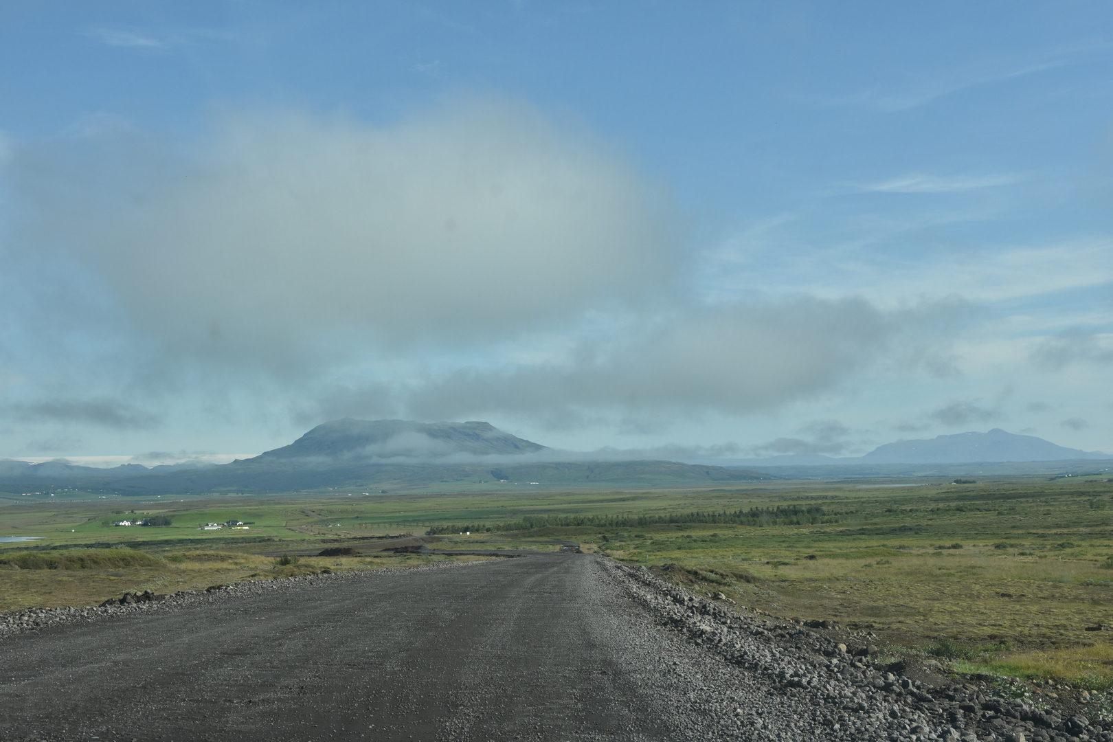
The road via Kaldidalur (mostly unpaved gravel road, F550, no fords) connects the Þingvellir area with Húsafell through highlands. By good weather you are rewarded with finest views. (By bad weather… There is an orange rescue hut, which is definitely not just accidentally placed in the middle of nowhere.) After passing the stony and grim desert, green valleys of Húsafell are more than welcome.
The snapshots from this part of the journey: Gallery (60 images)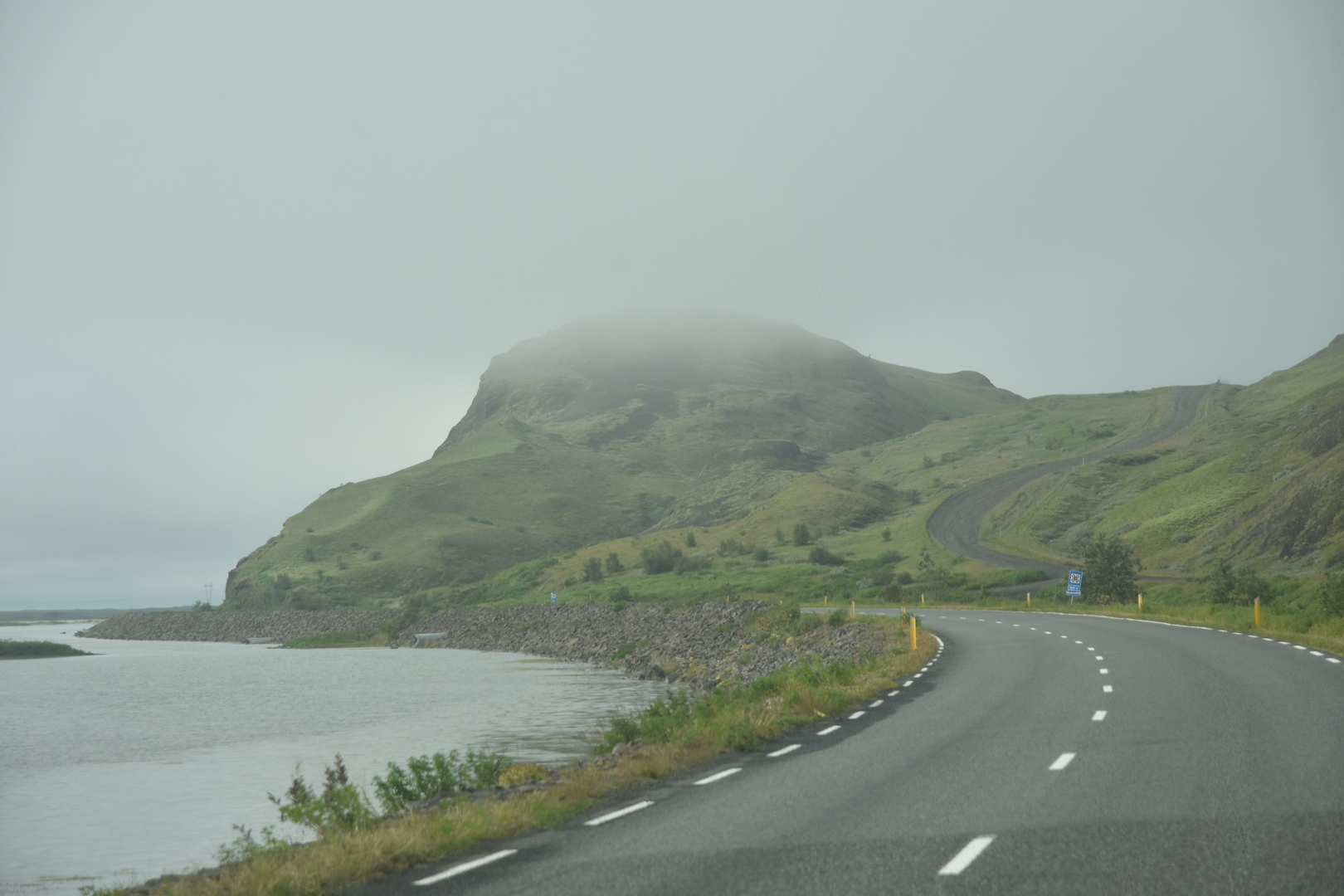
 North of Reykholt :: the weather improves for a visit of Brúarfoss
 Brúarfoss :: just follow the Brúará river
 Brúarfoss :: Hlauptungufoss
 Brúarfoss :: Hlauptungufoss
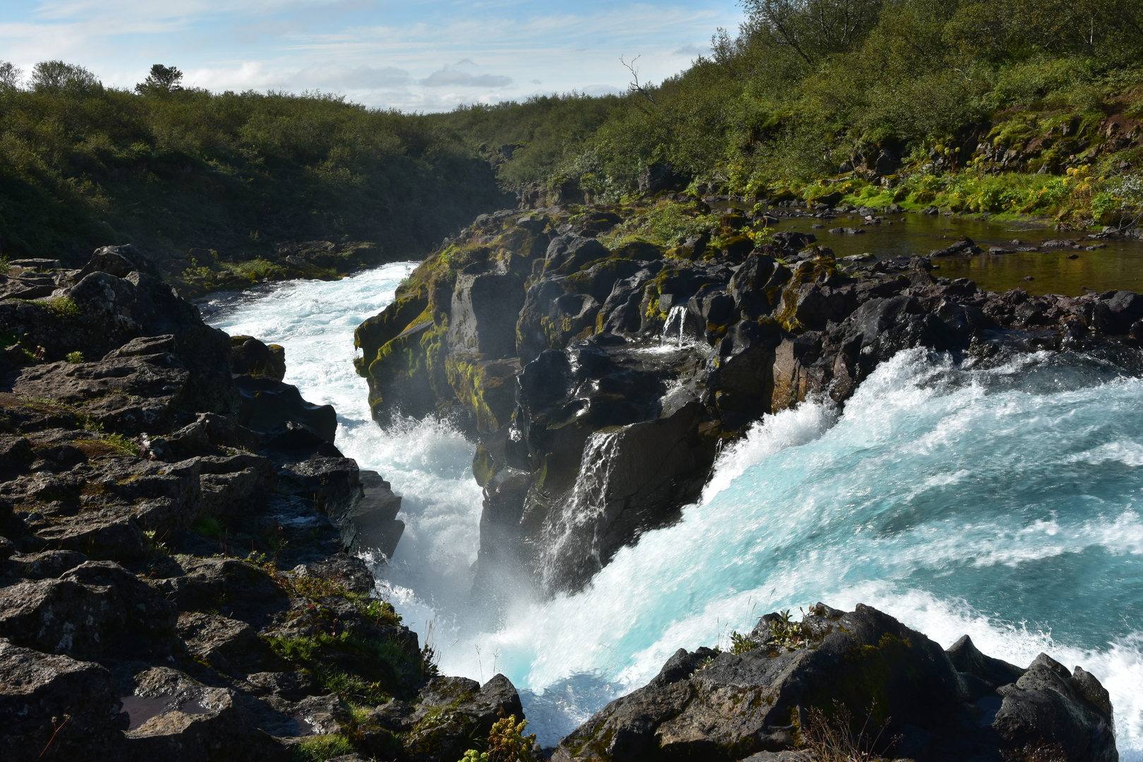 Brúarfoss :: Hlauptungufoss
 Brúarfoss :: by Miðfoss
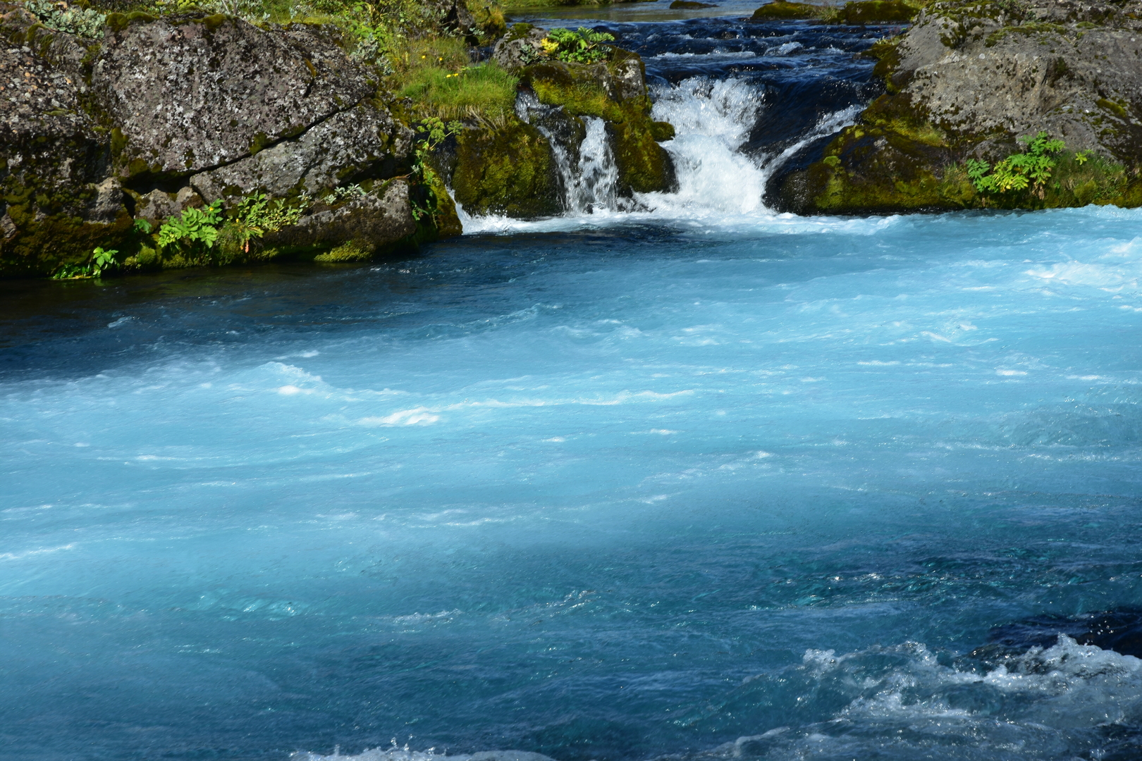 Brúarfoss :: by Miðfoss
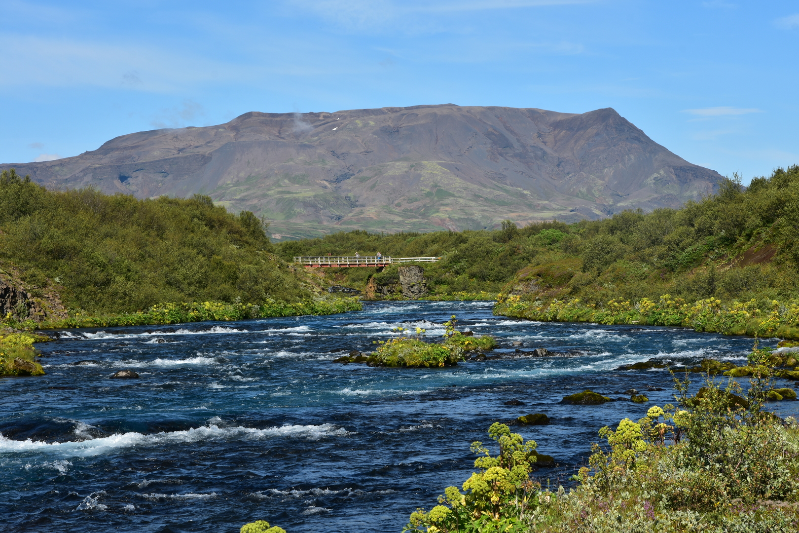 Brúarfoss :: Kóngsbrú bridge
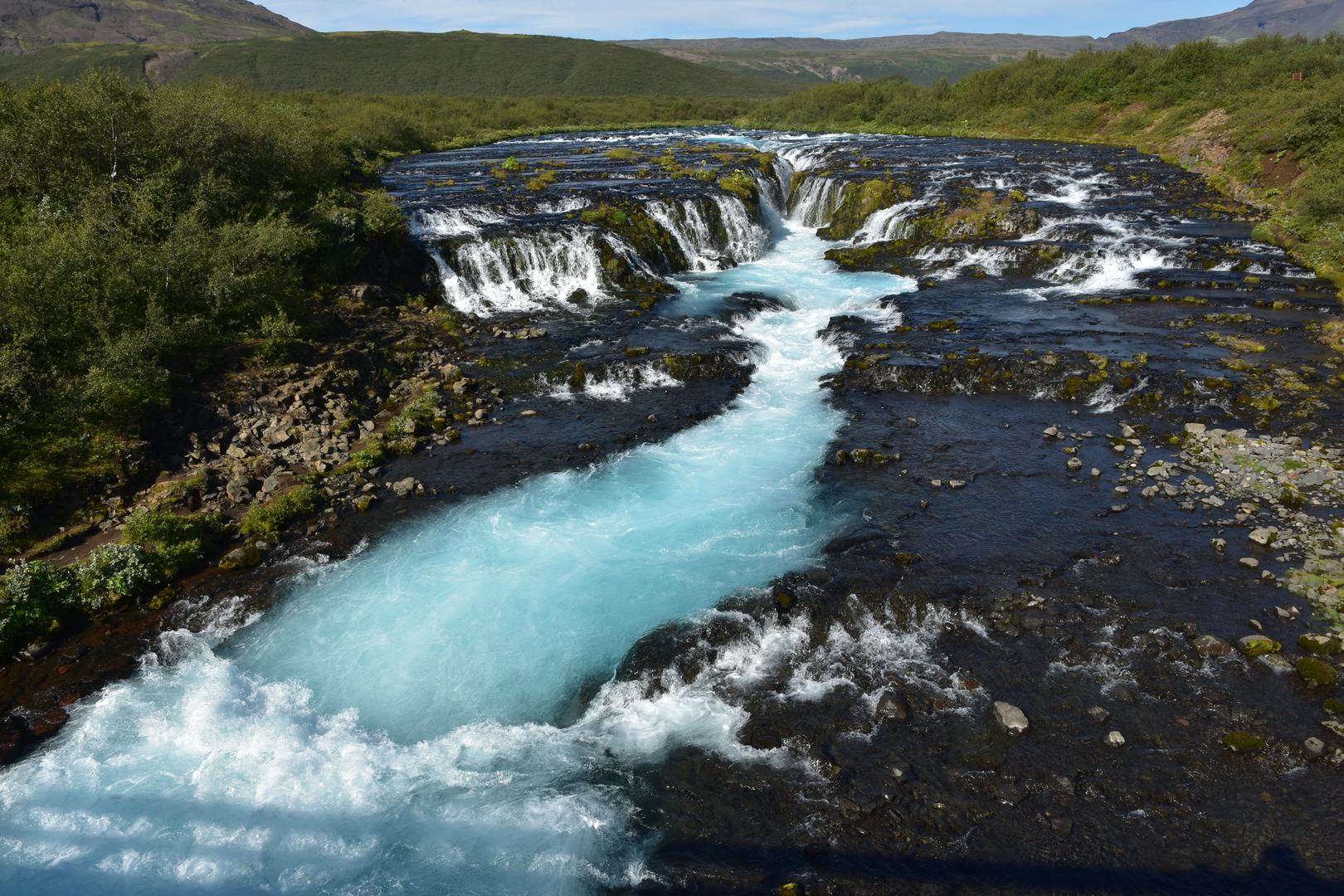 Brúarfoss :: the waterfall as seen from the Kóngsbrú
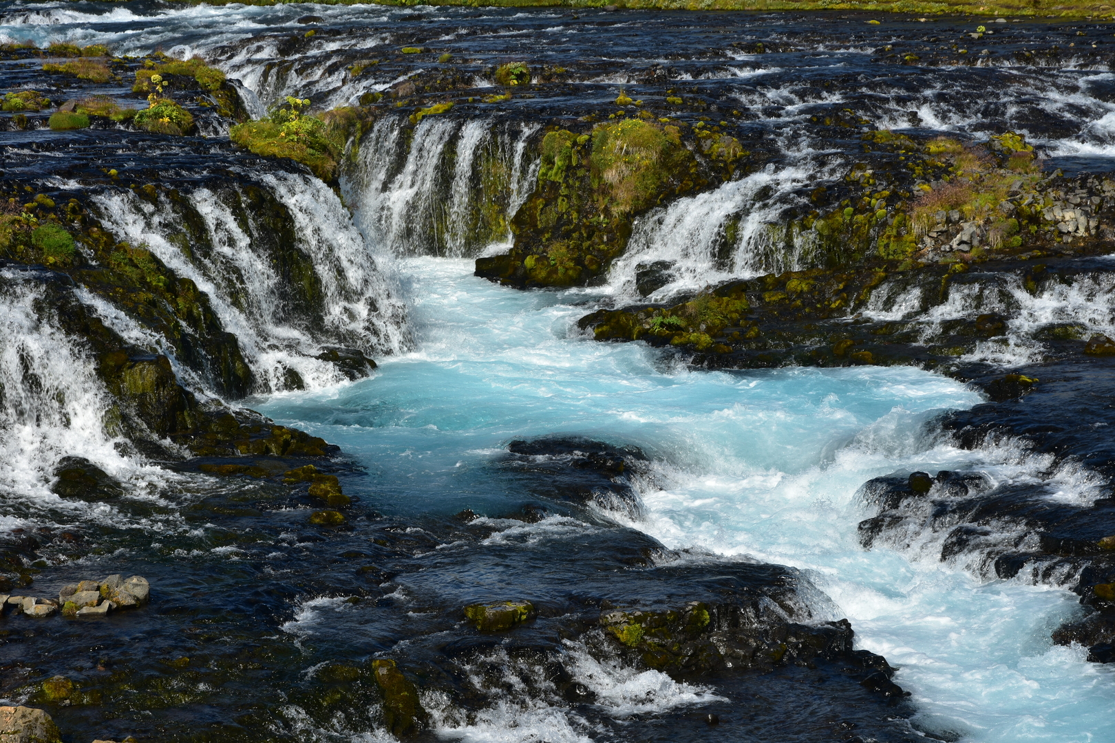 Brúarfoss :: the central part
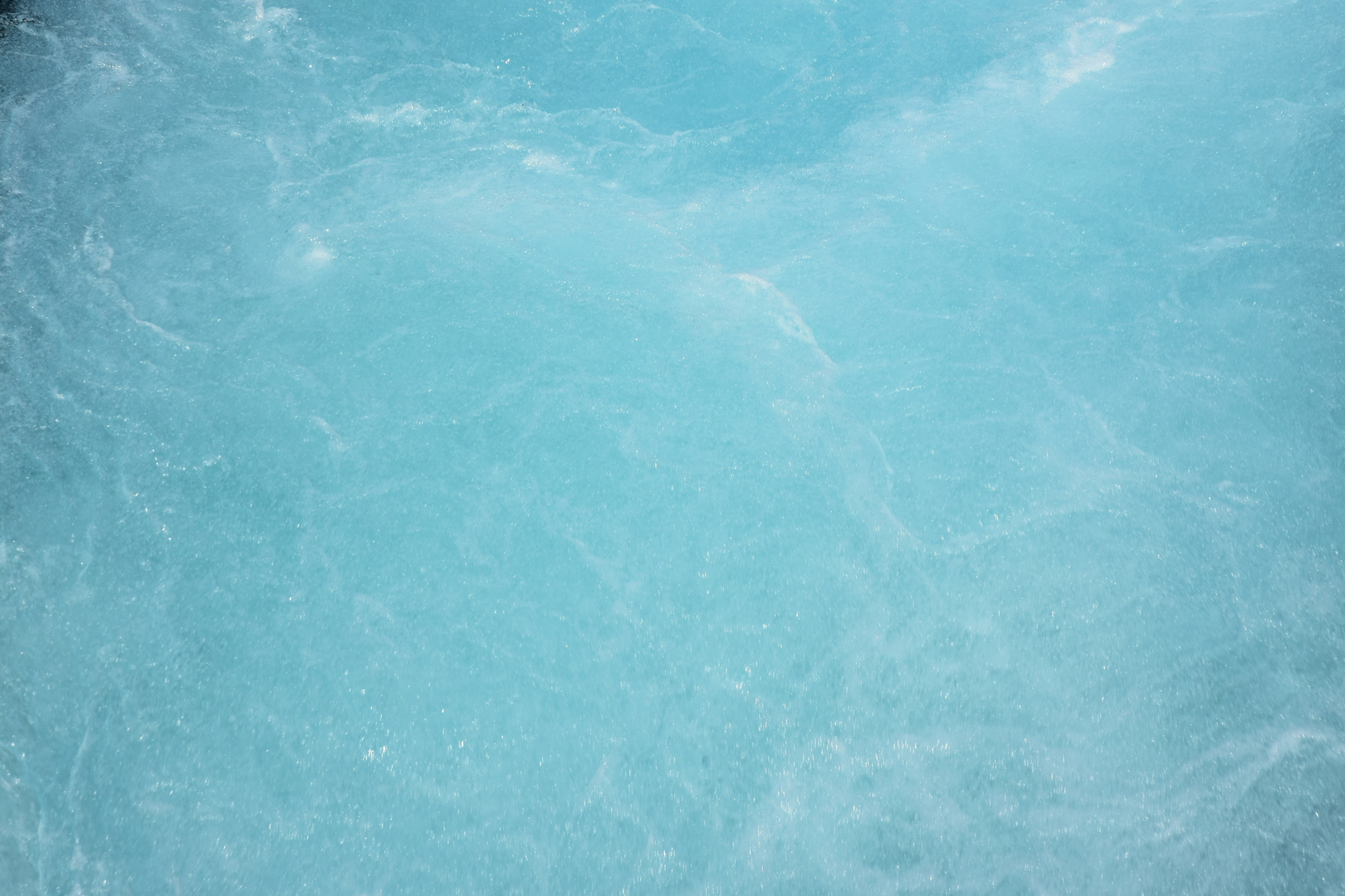 Brúarfoss :: the blue waters
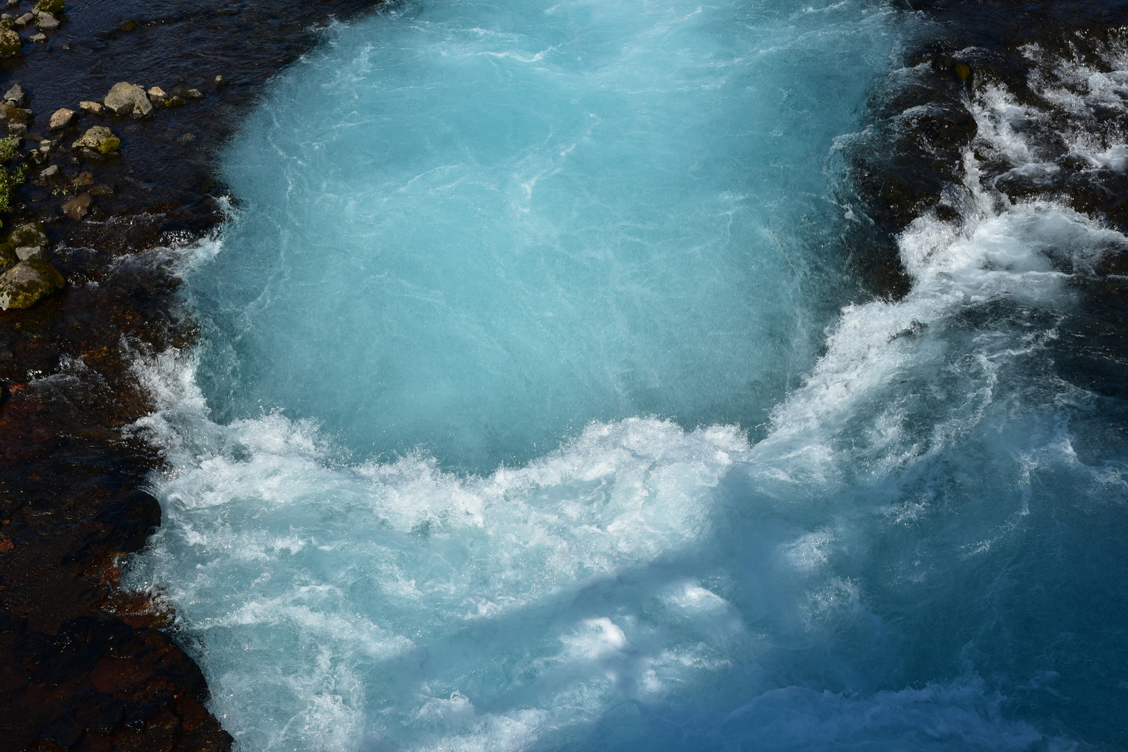 Brúarfoss :: the hydraulic jump below the waterfall
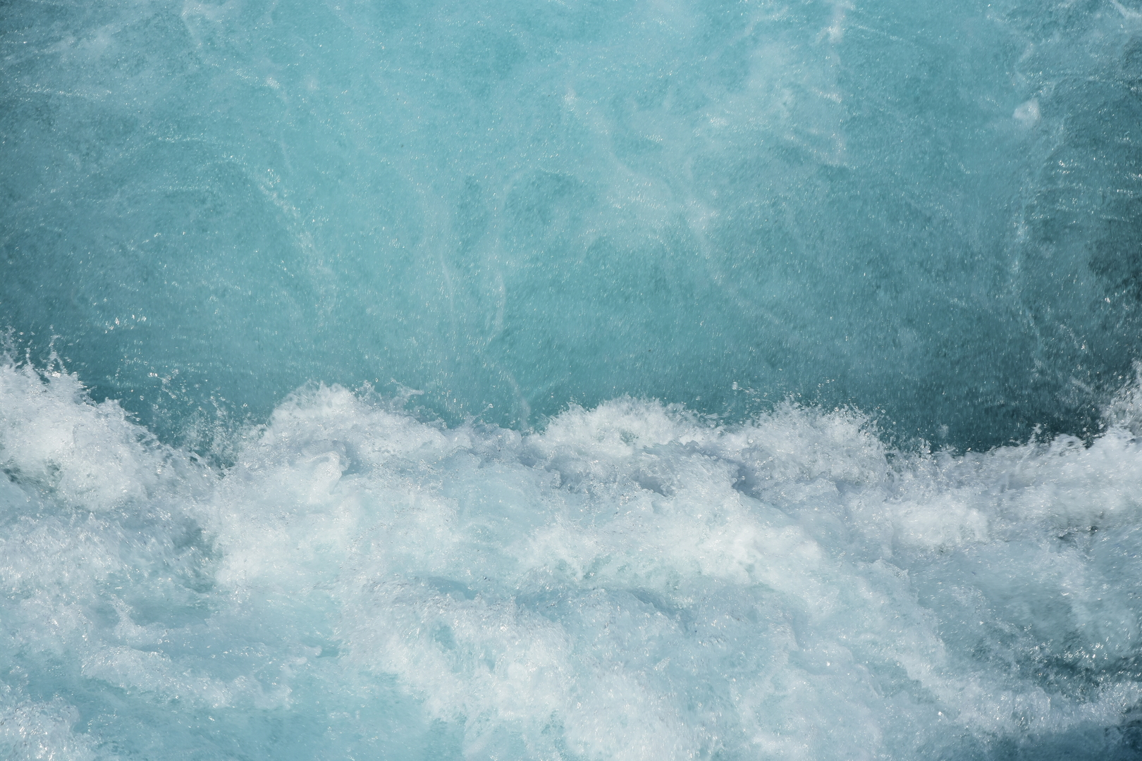 Brúarfoss :: the hydraulic jump below the waterfall :: detailed
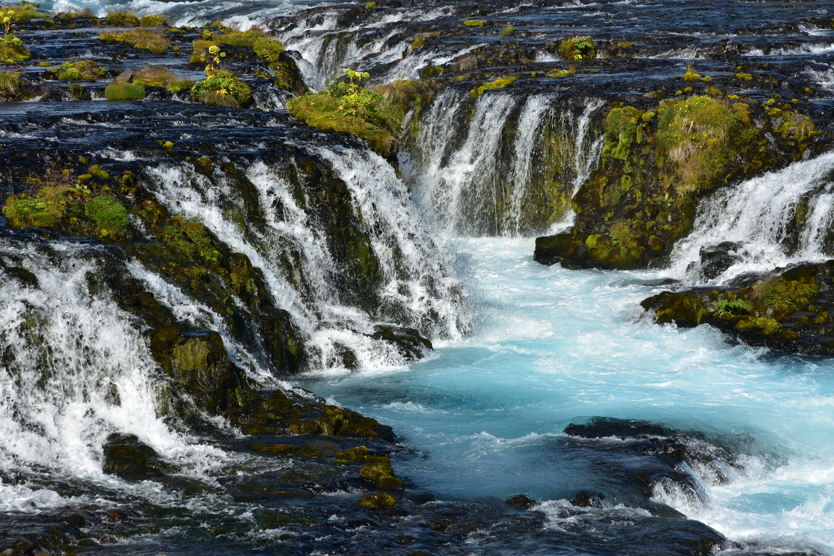 Brúarfoss :: the central part
 Brúarfoss :: the waterfall as seen from the Kóngsbrú
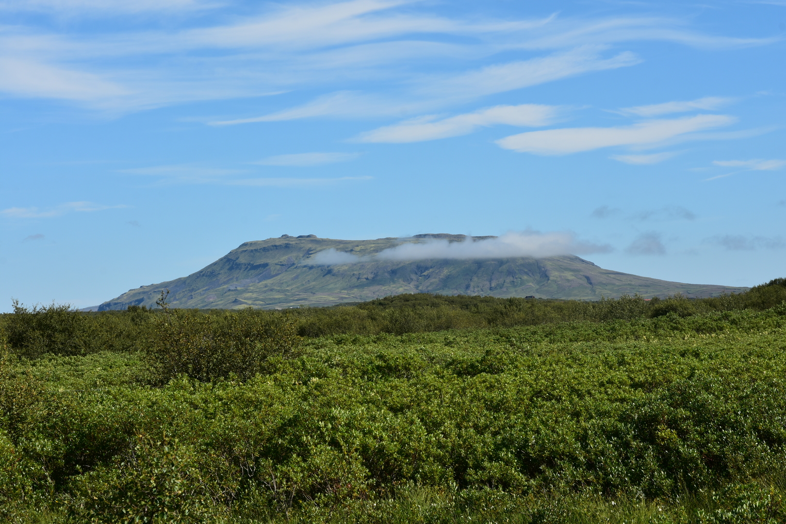 Brúarfoss :: a mountain to the northeast
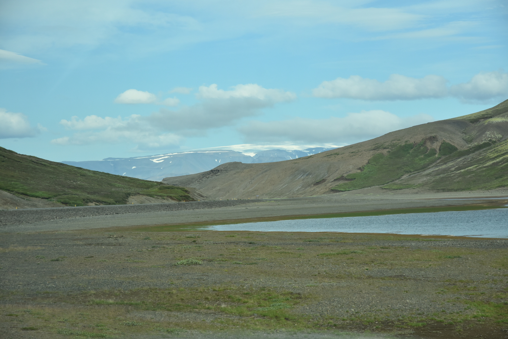 Kaldidalur :: Sandkluftavatn north of Þingvellir :: first glacier sight
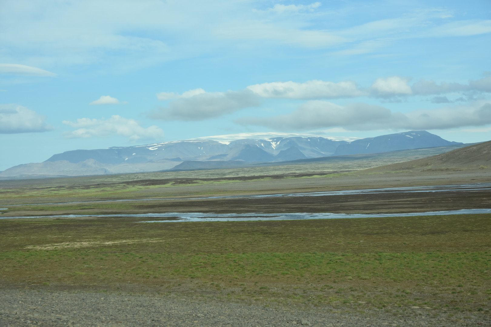 Kaldidalur :: Bláskogaheiði :: Þórisjökull
 Kaldidalur :: Bláskogaheiði :: Skjaldbreiður
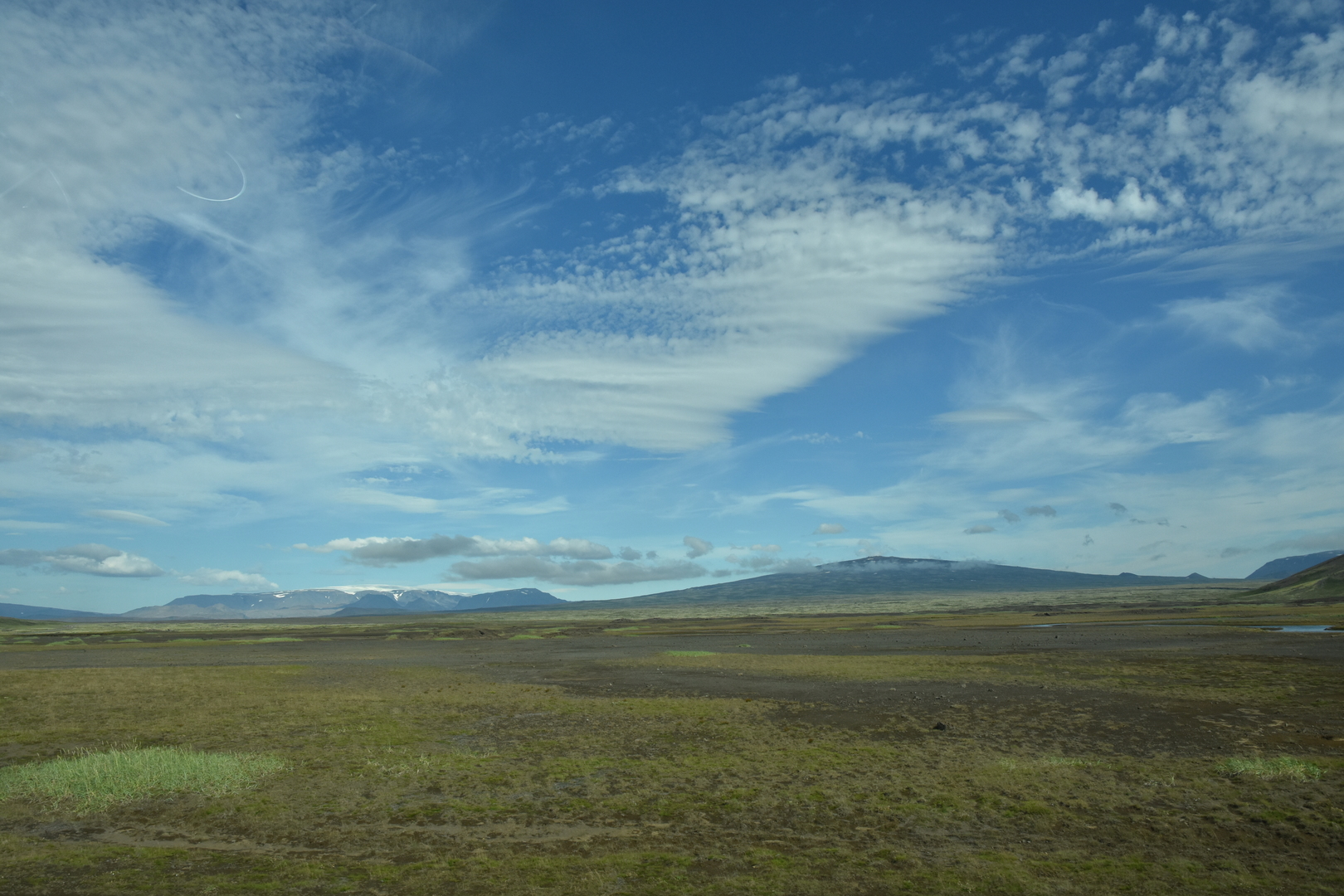 Kaldidalur :: Bláskogaheiði :: Þórisjökull and Skjaldbreiður
 Kaldidalur :: Bláskogaheiði :: Þórisjökull, Litla and Stóra Björnsfell
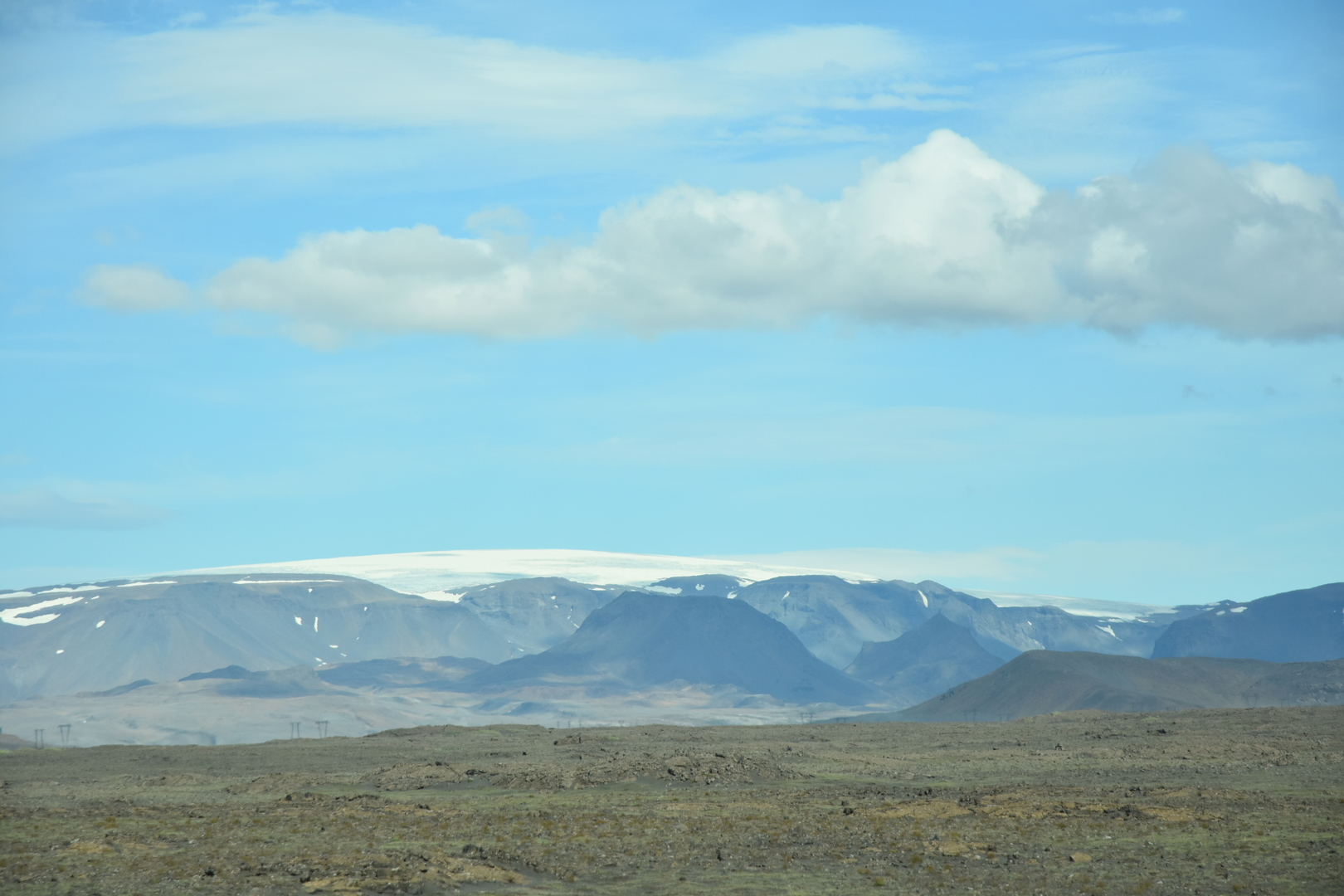 Kaldidalur :: Bláskogaheiði :: Þórisjökull, Litla Björnsfell
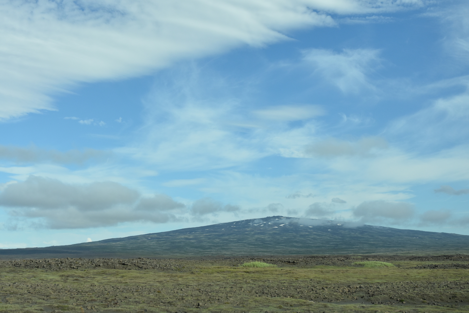 Kaldidalur :: Bláskogaheiði :: Skjaldbreiður
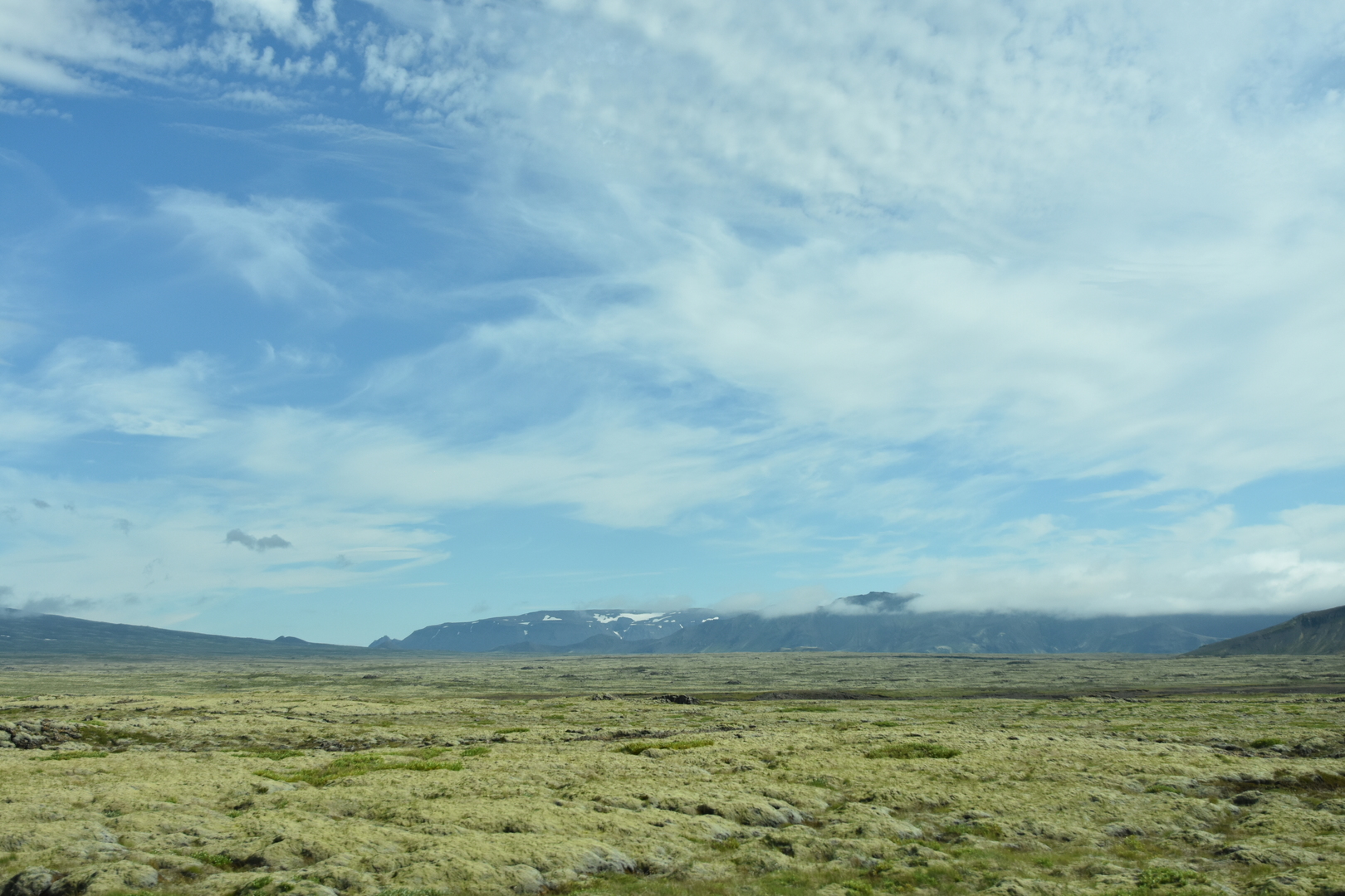 Kaldidalur :: Bláskogaheiði :: Tindaskagi
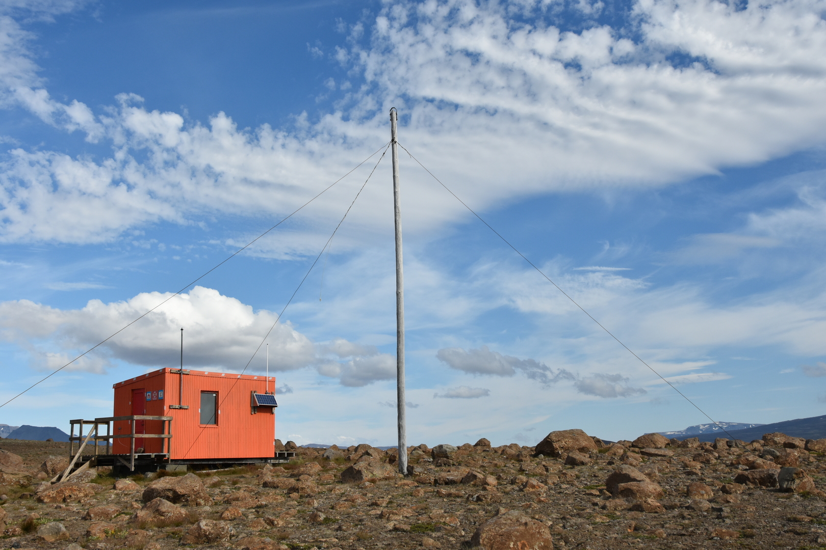 Kaldidalur :: Bláskogaheiði :: a rescue hut with the radio antenna
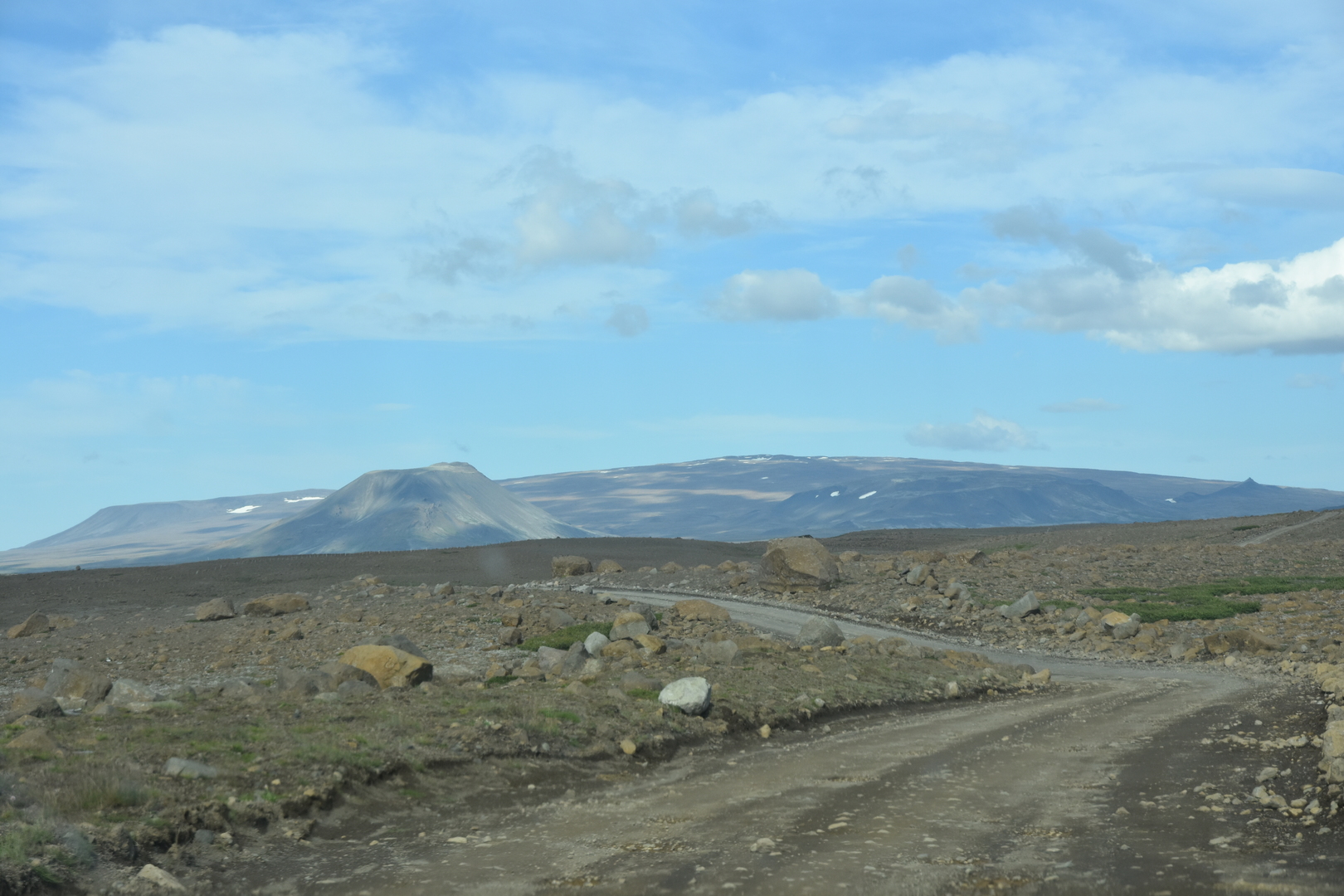 Kaldidalur :: Bláskogaheiði :: Fanntófell crater and broad Ok
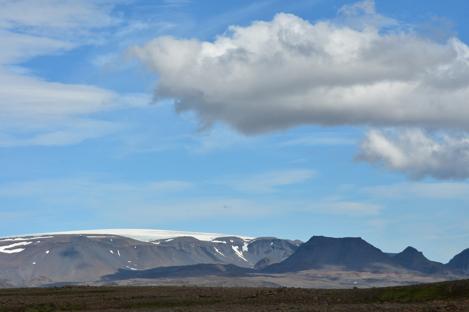 Kaldidalur :: Bláskogaheiði :: Þórisjökull, Litla Björnsfell
 Kaldidalur :: Bláskogaheiði :: Þórisjökull, Litla Björnsfell
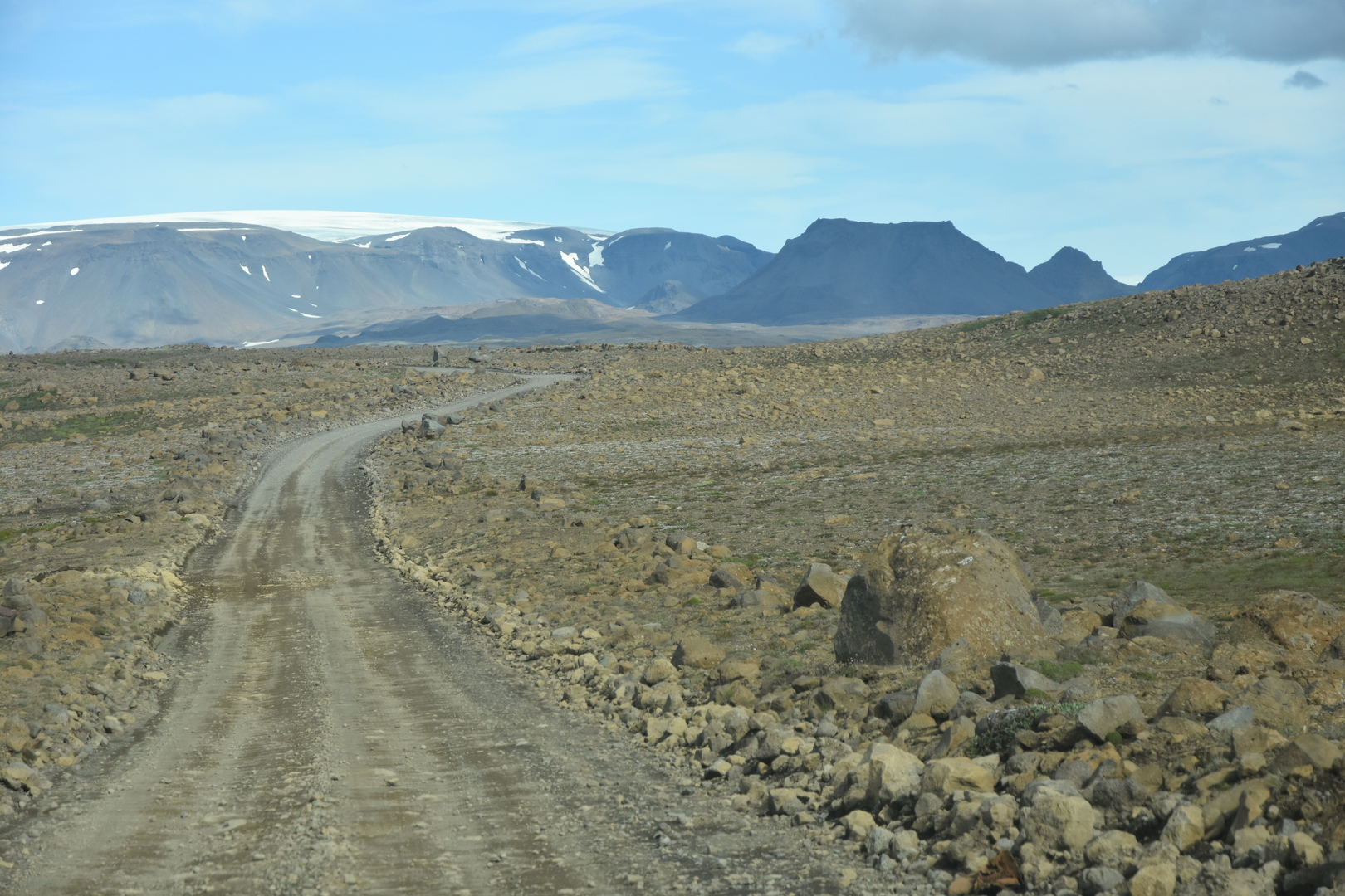 Kaldidalur :: Bláskogaheiði :: Þórisjökull, Litla Björnsfell
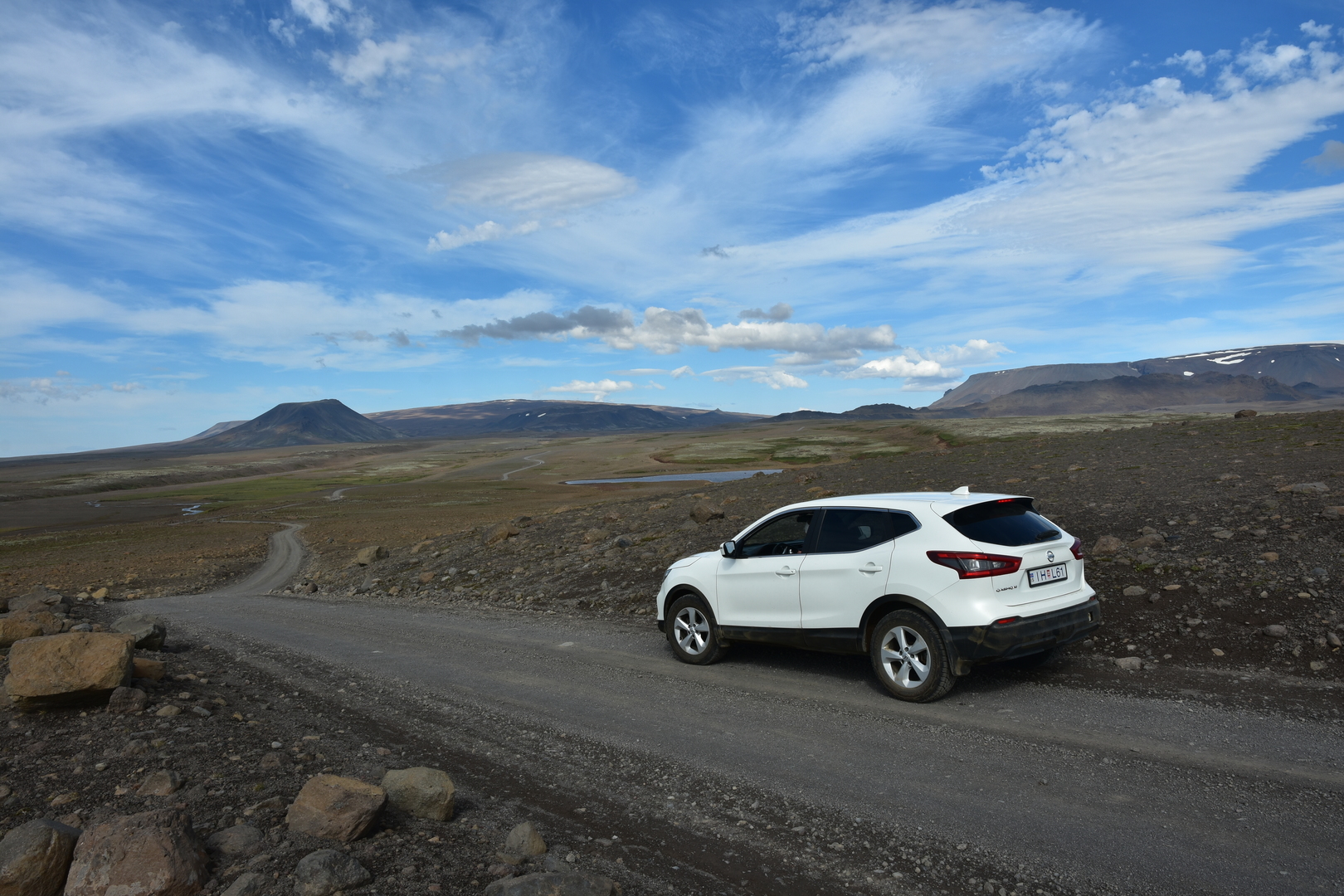 Kaldidalur :: Bláskogaheiði :: Fanntófell crater and broad Ok :: our sturdy car
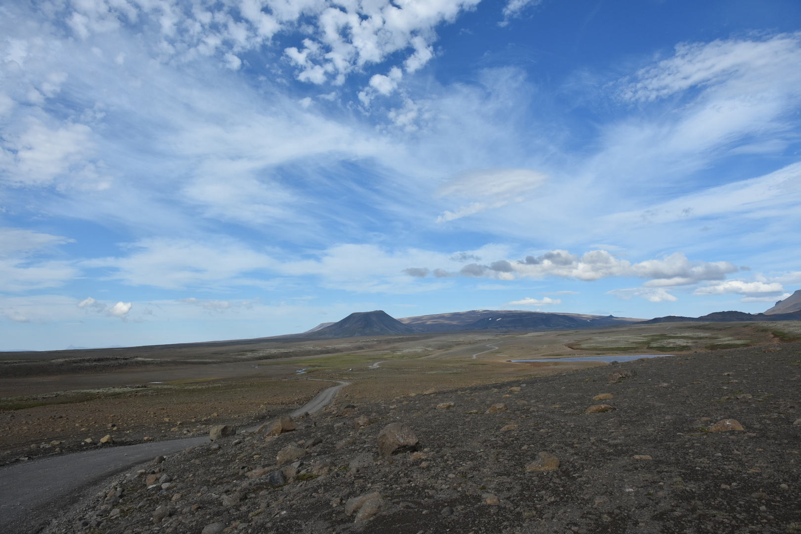 Kaldidalur :: Bláskogaheiði :: Fanntófell crater and broad Ok
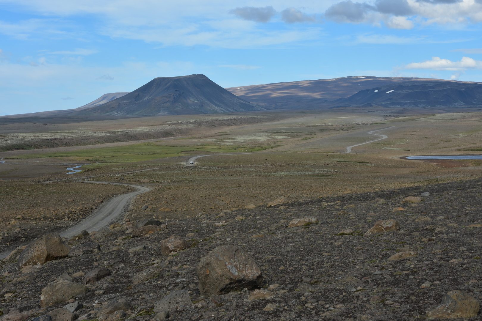 Kaldidalur :: Bláskogaheiði :: Fanntófell crater and broad Ok
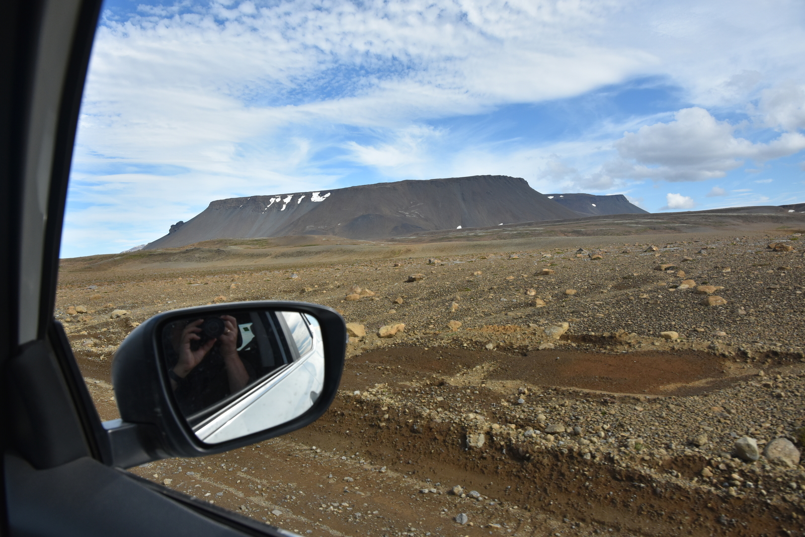 Kaldidalur :: Hrúdurkarlar
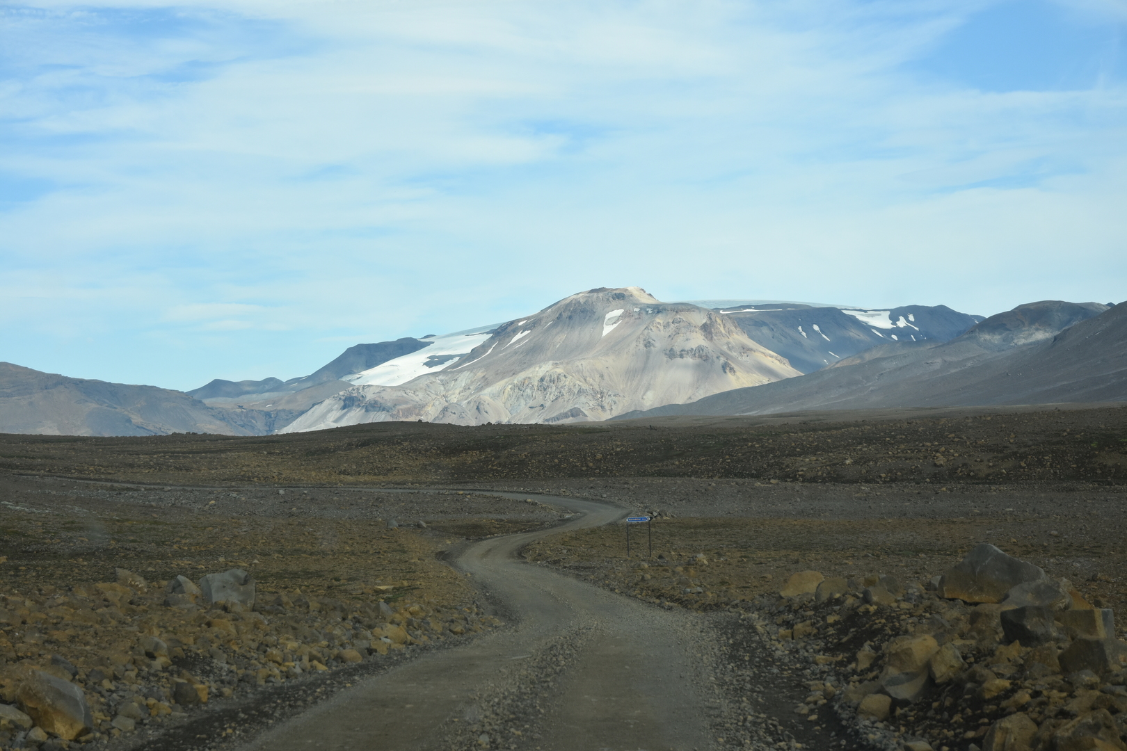 Kaldidalur :: approaching the pass :: Þórisdalur to the right
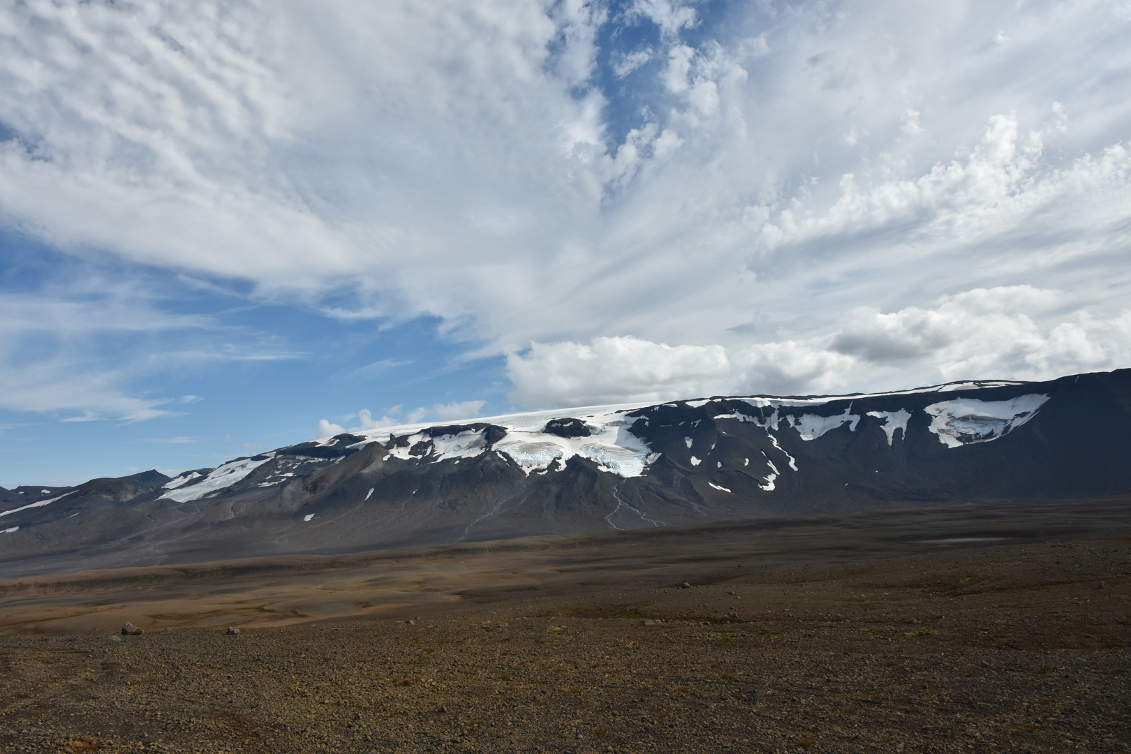 Kaldidalur :: Þórisjökull
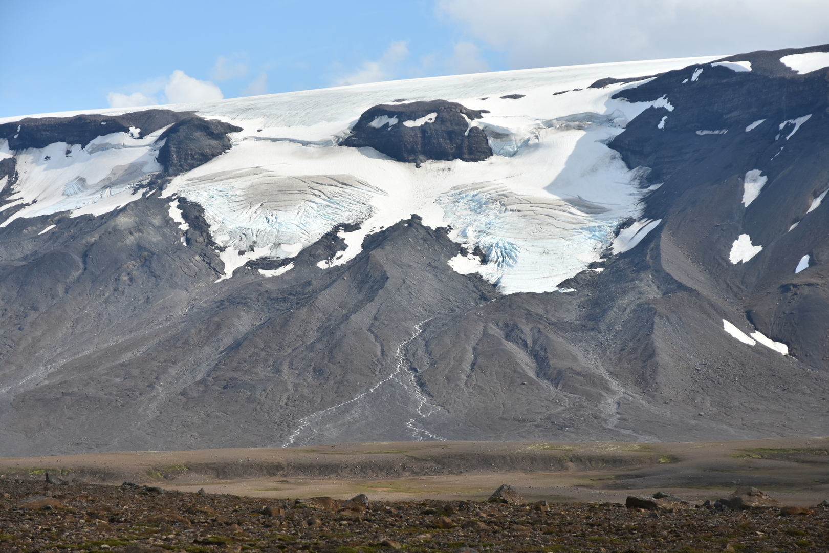 Kaldidalur :: Þórisjökull
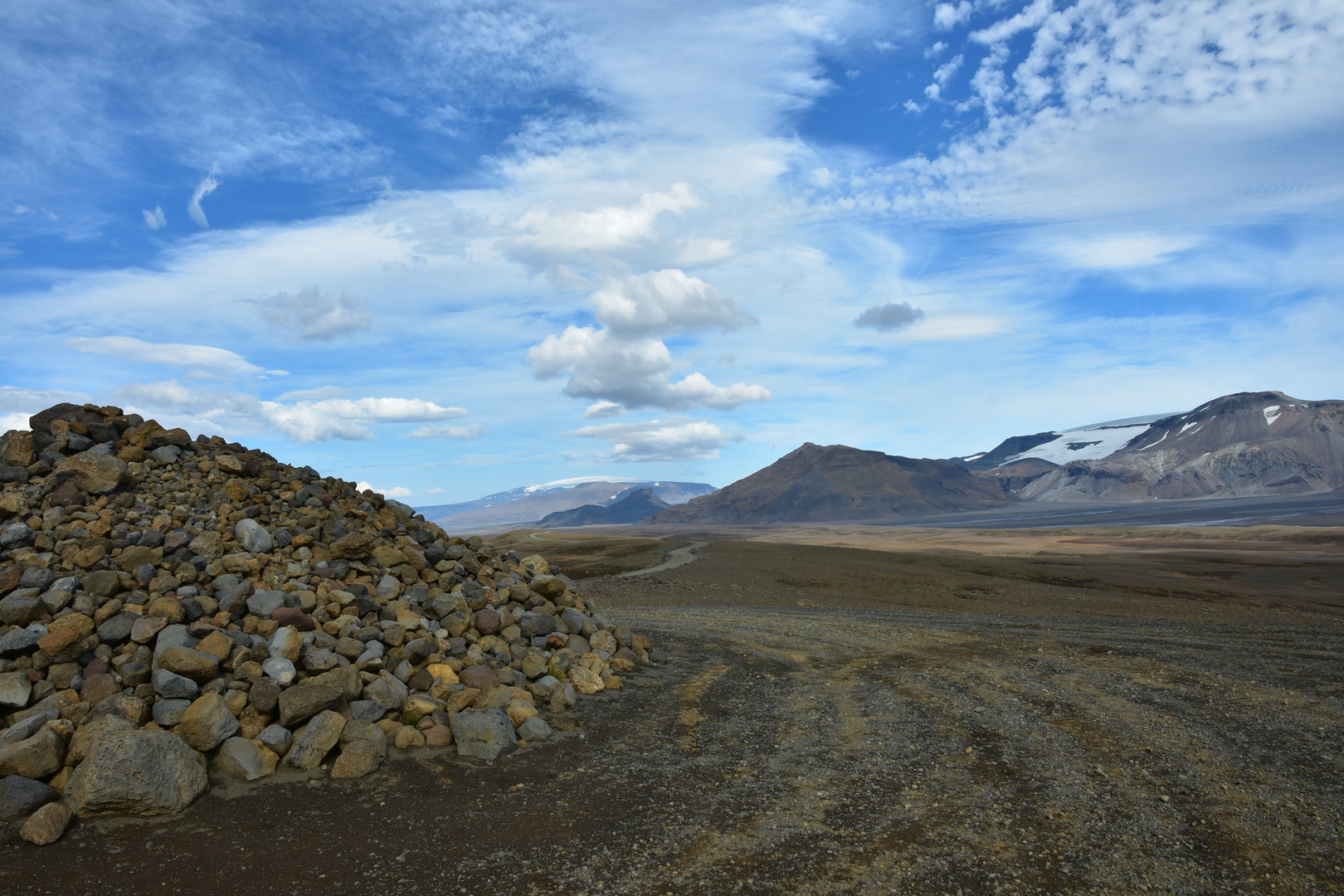 Kaldidalur :: the pass :: Eiríksjökull, Geitlandsjökull
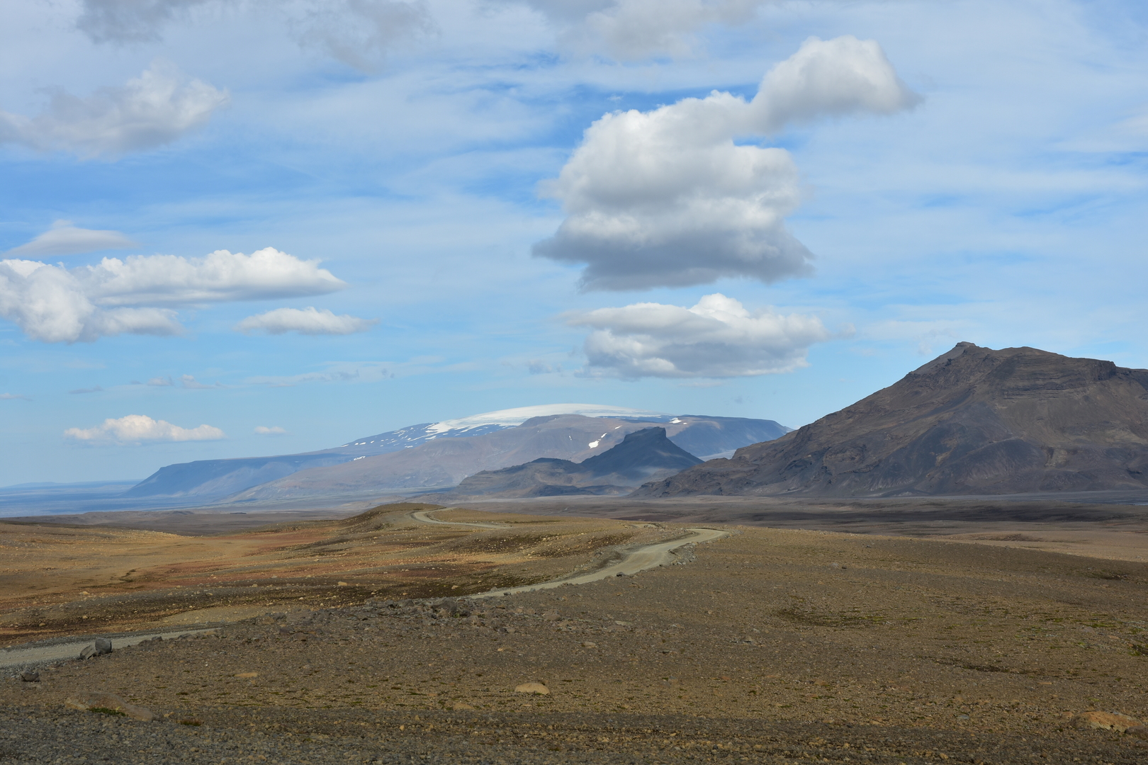 Kaldidalur :: Eiríksjökull in sight
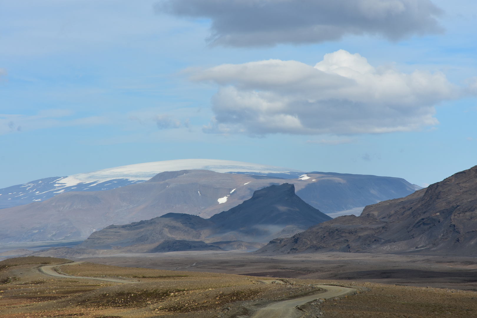 Kaldidalur :: Eiríksjökull zoomed
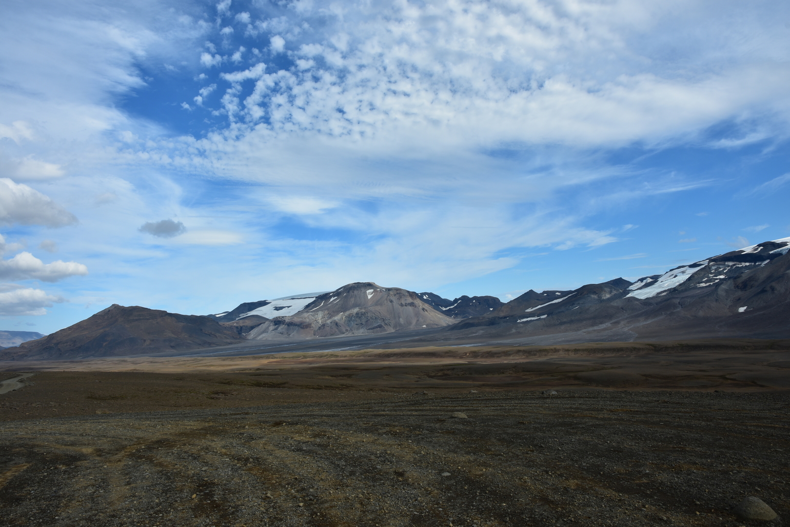 Kaldidalur :: Geitlandsjökull, Þórisdalur
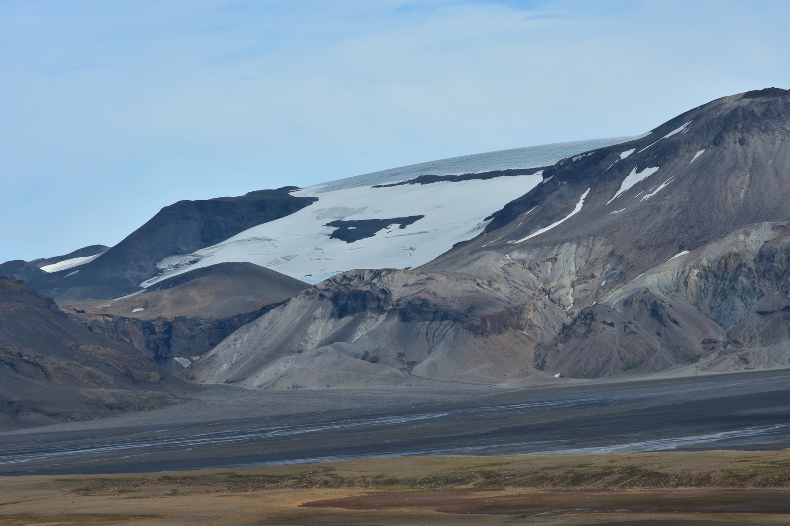 Kaldidalur :: Geitlandsjökull detail
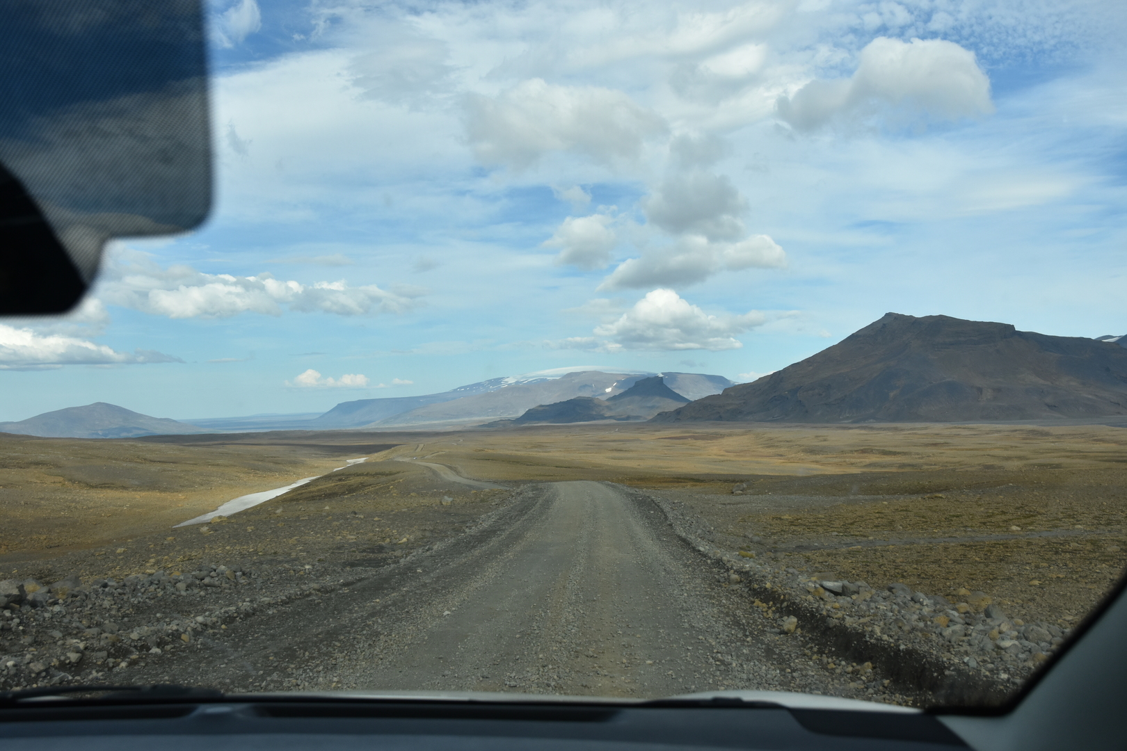 Kaldidalur :: leaving the pass towards Húsafell, Eiríksjökull ahead
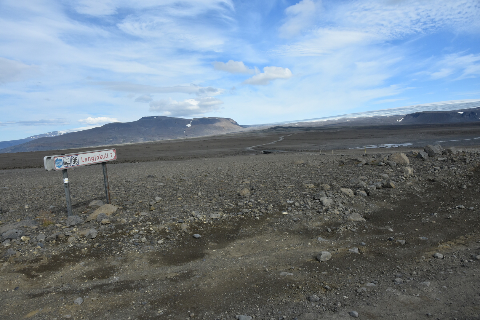 Kaldidalur :: the road to Langjökull edge
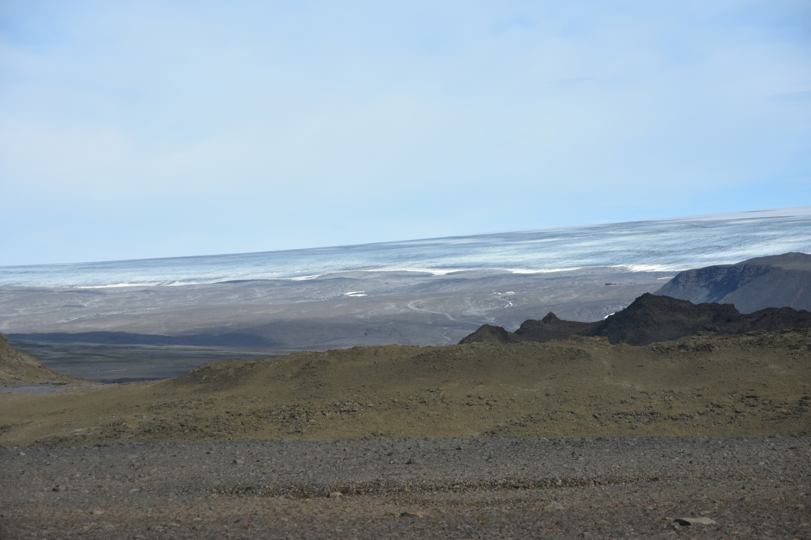 Kaldidalur :: the massive Langjökull proper
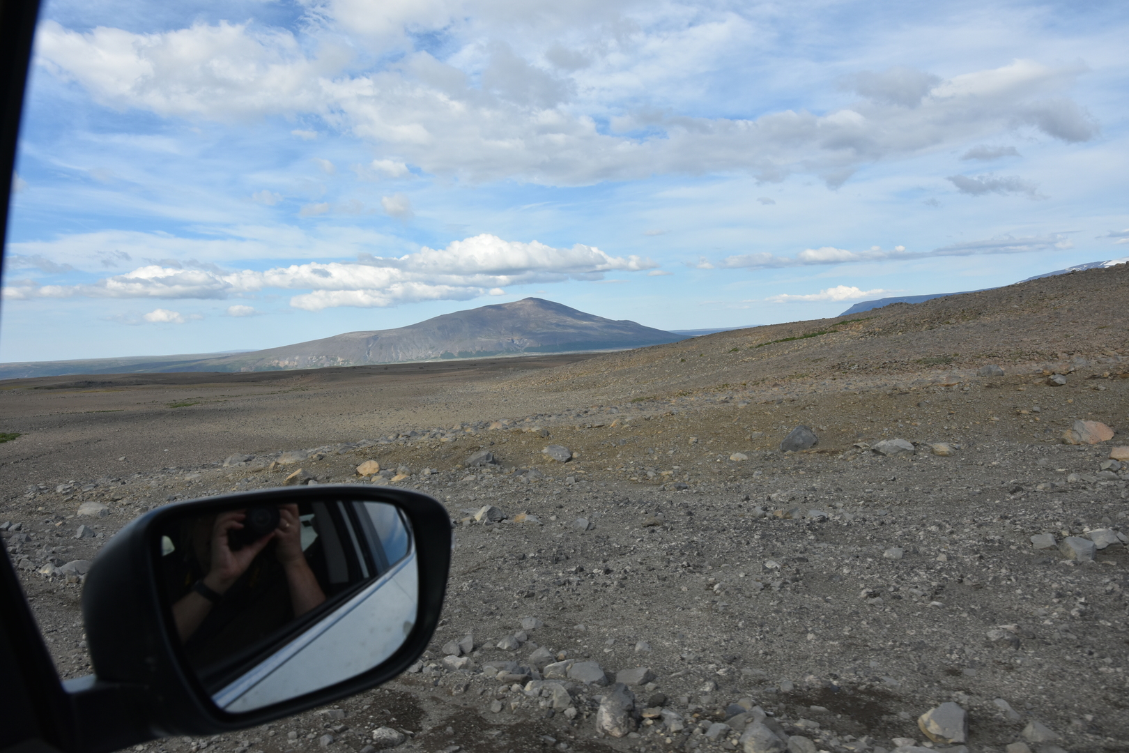 Kaldidalur :: Strútur closing Húsafell
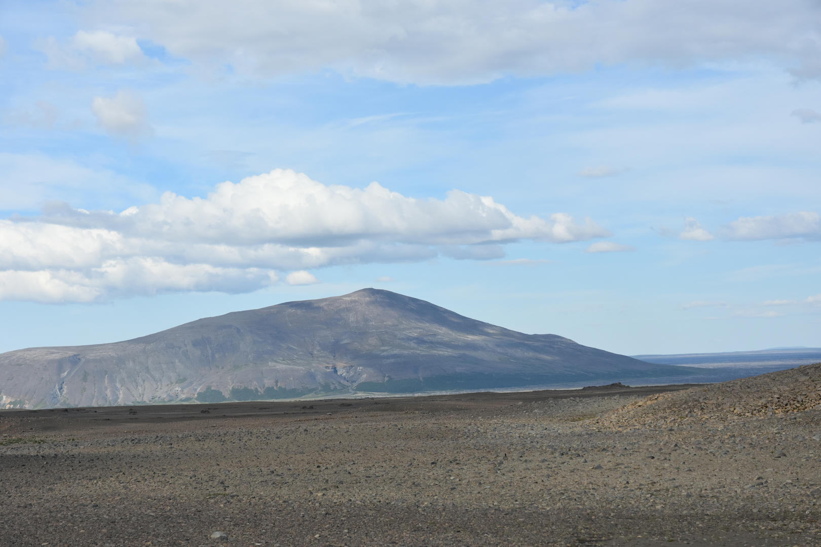 Kaldidalur :: Strútur closing Húsafell
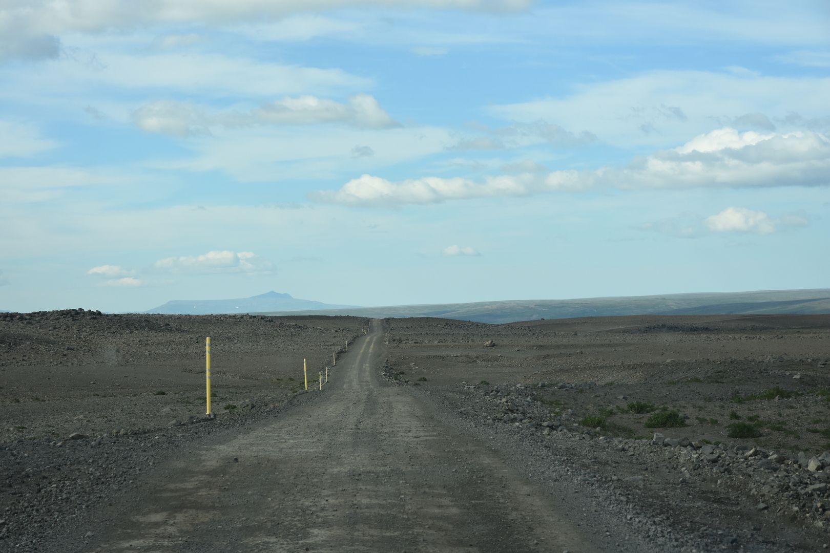 Kaldidalur :: leaving Kaldidalur towards Húsafell
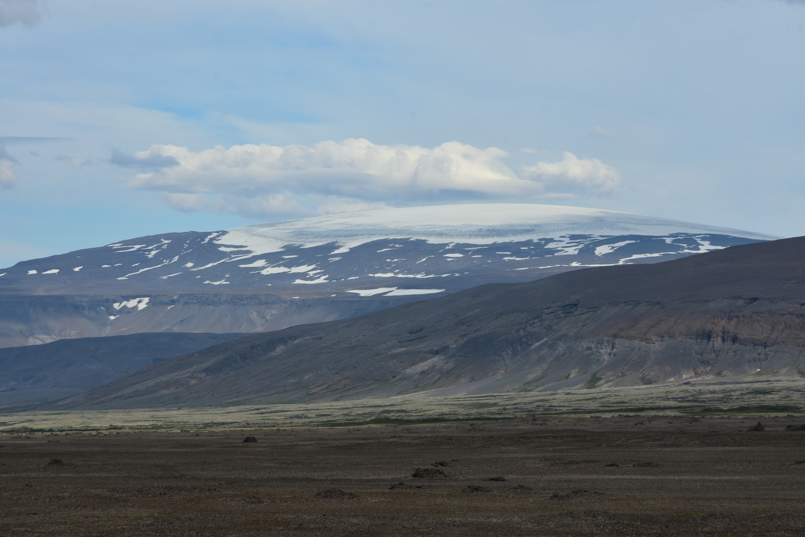 Kaldidalur :: Eiríksjökull
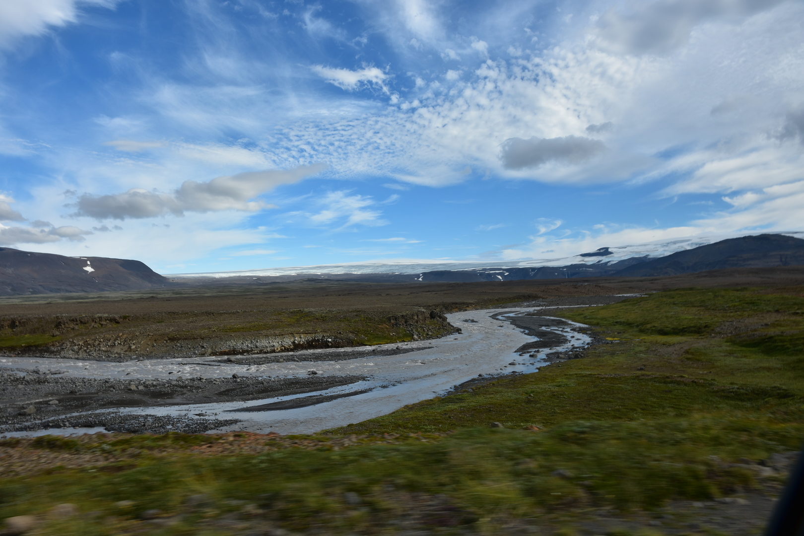 Kaldidalur :: the upper Hvílá river :: Langjökull behind
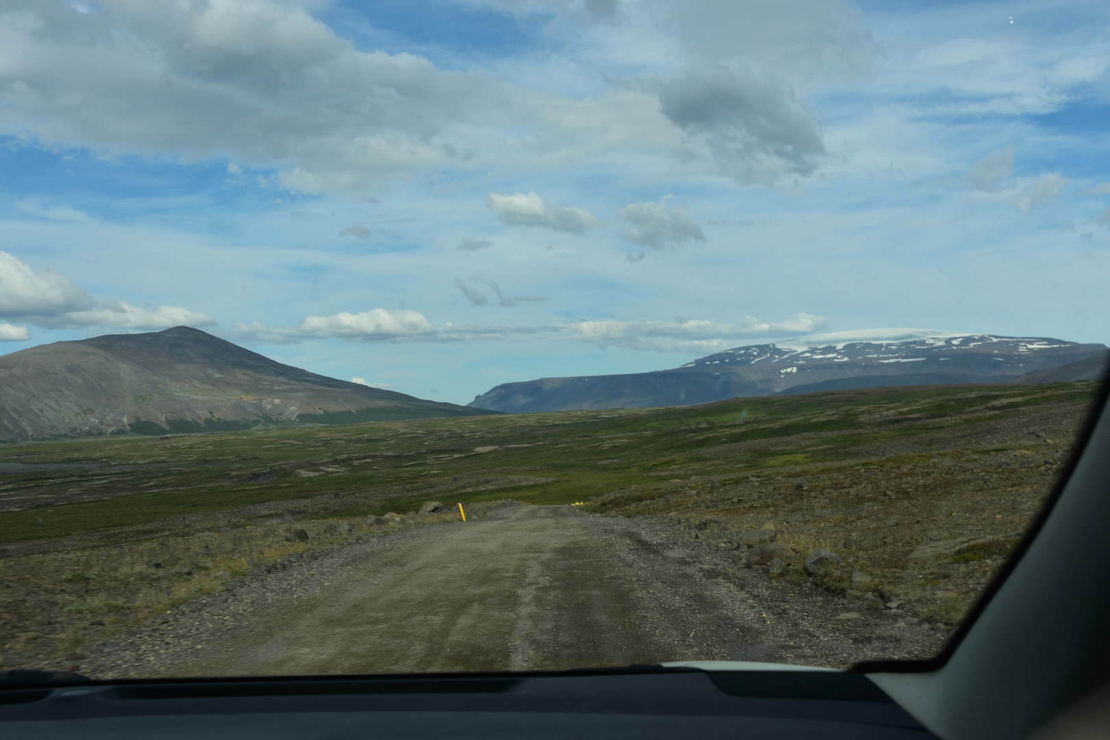 Kaldidalur :: Strútur and Eiríksjökull
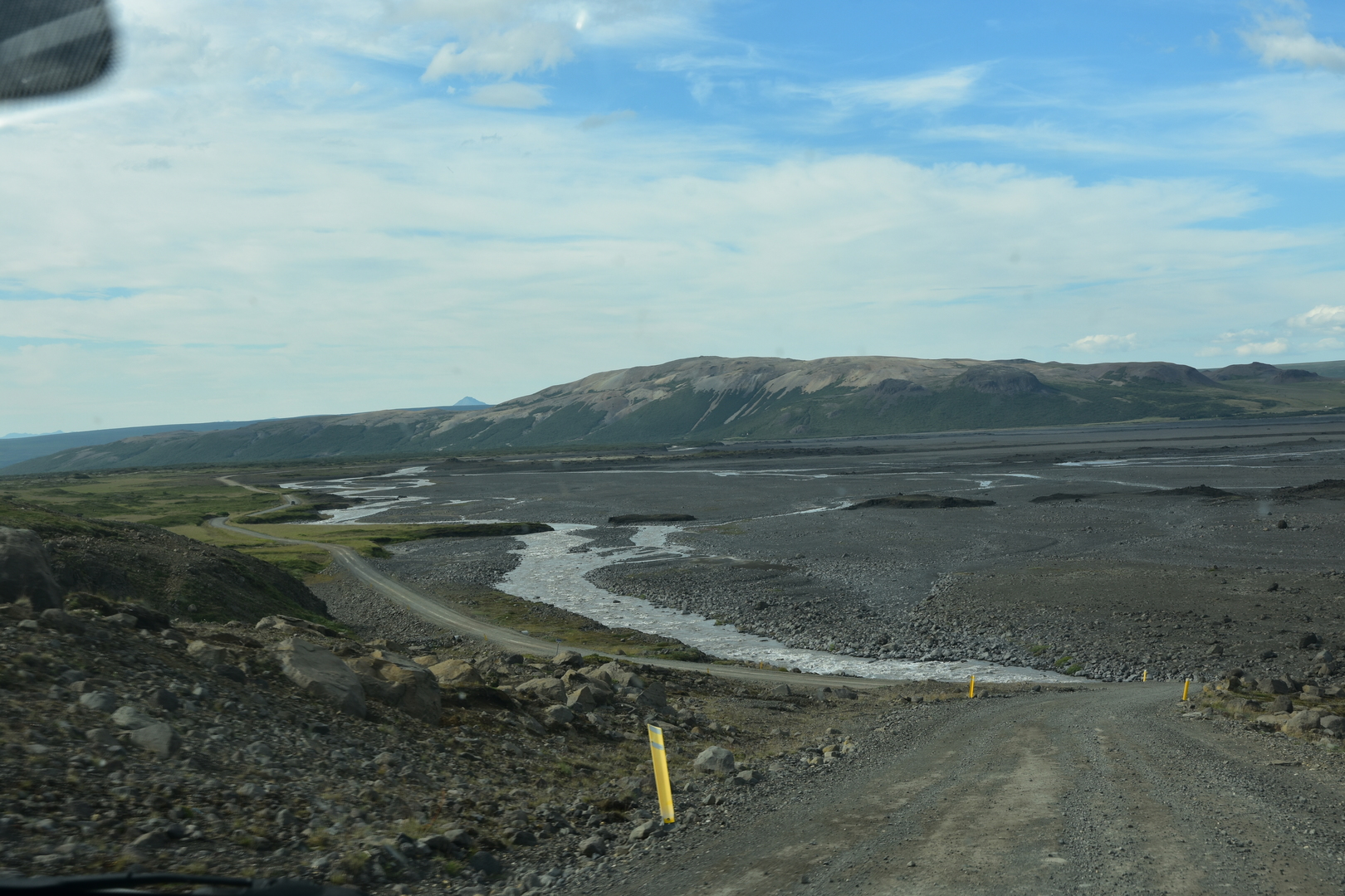 Kaldidalur :: approaching Húsafell
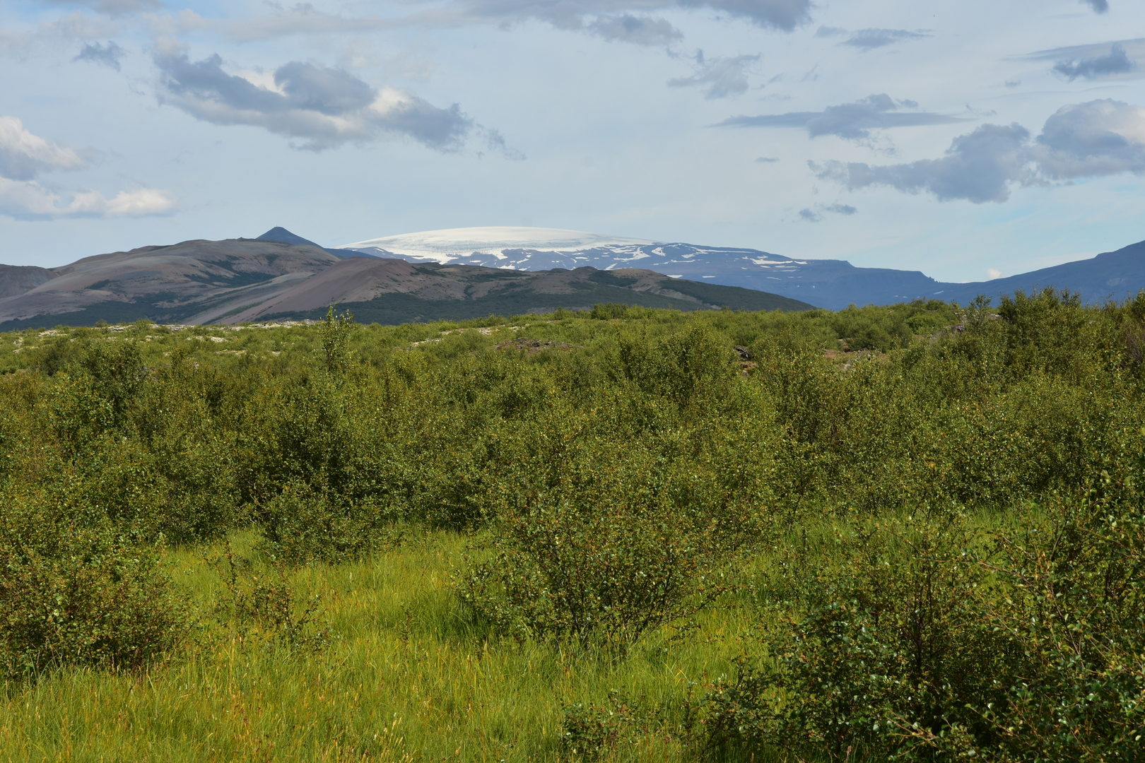 Húsafell :: looking back to Strútur and Eiríksjöull from the green valley
 Húsafell :: Hraunfossar
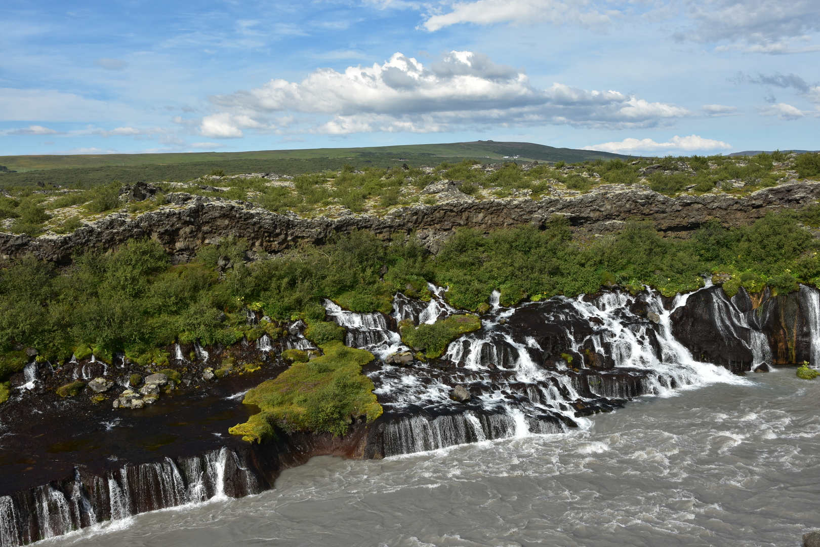 Húsafell :: Hraunfossar
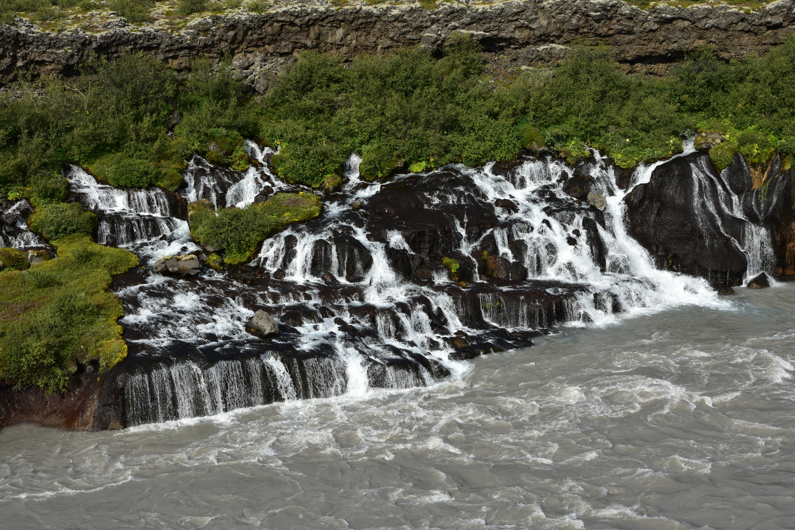 Húsafell :: Hraunfossar
 Húsafell :: Barnafoss
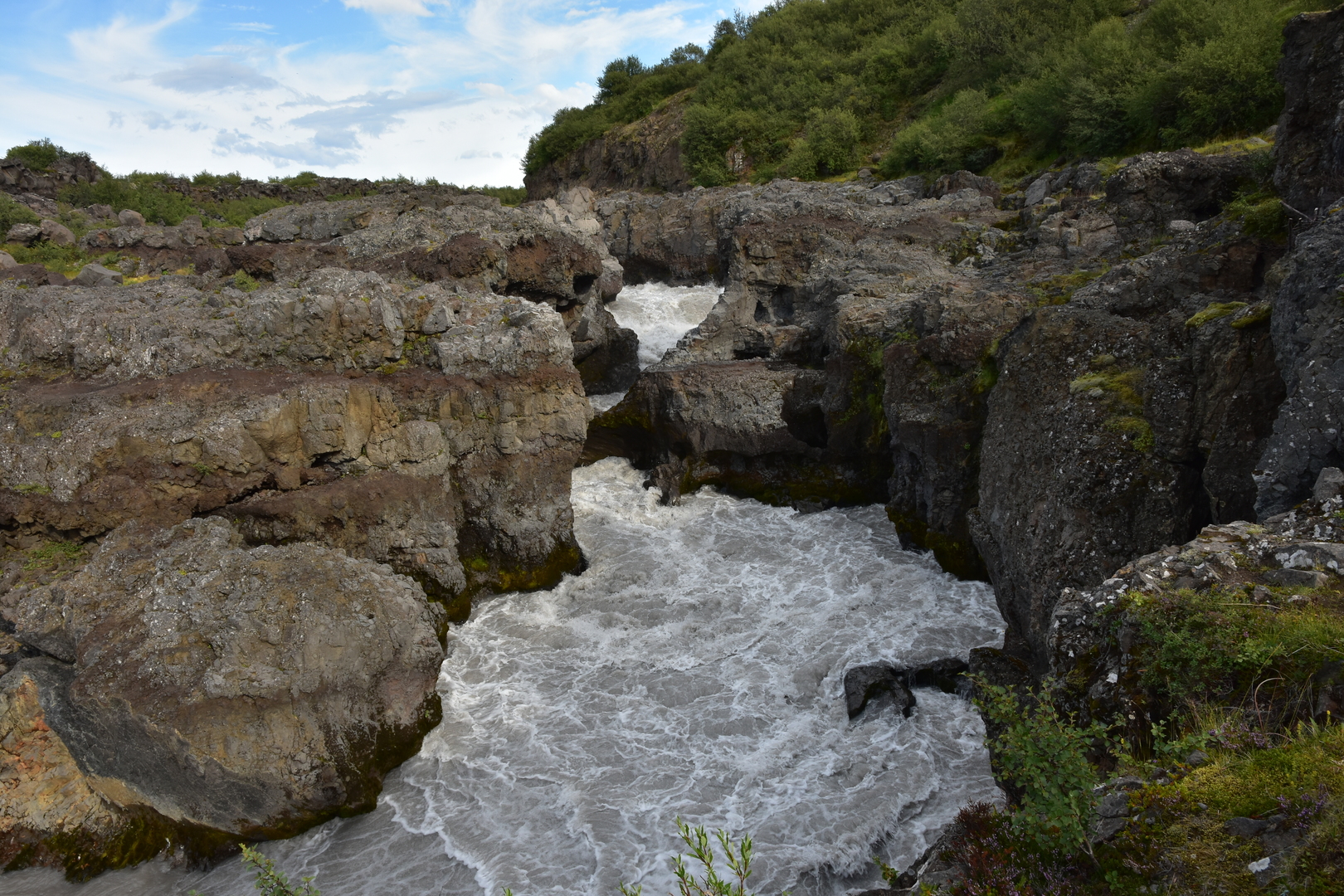 Húsafell :: Barnafoss
 Húsafell :: Hraunfossar :: Strútur and Eiríksjökull on the horizon
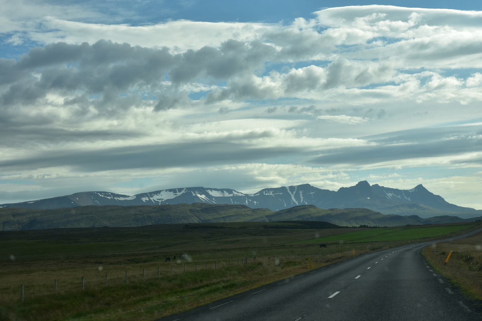 Mountain range south of Borgarfjörður